National Highway Route 23 |
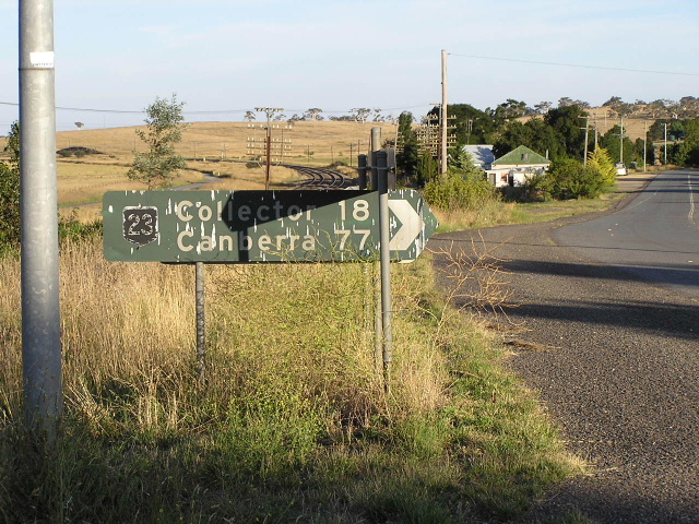
NH23 trailblazer southbound between Thornford Rd and Collector, July 2004.
In 2013, RMS will be implementing a new alpha-numeric route numbering system. For more information, visit the RMS Website. |
|
Forthcoming alpha-numeric route number: |
|
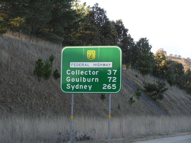
Length: 70km
Northern Terminus: Hume Hwy & Federal Hwy interchange, 17km S Goulburn
Southern Terminus: NSW/ACT border, Ginns Gap
Route Names: Federal Highway
Focal Points: Goulburn, Canberra
Interstate Continuation: Federal Hwy continues south into Canberra. NH23 loses its NH status and returns to NSW as the Monaro Hwy.
Proclaimed a state highway: 8th August 1928
Named: July 1928
Route Overview:
Notable events in the history of Federal Hwy:
September 1927 - Federal Highway route chosen (previous access to Canberra area was via Tarago or Gunning)
1928 - Proclaimed State Highway 3
July 1928 - Named Federal Highway
November 1930 - Opened to traffic in NSW
February 1931 - Opened to traffic in ACT
1936 - Bituminous sealing completed
February 1954 - Federal Hwy given 'Rememberance Driveway' subtitle
May 1972 - Hume Hwy interchange grade separation
1974 - Proclaimed a National Highway
1977 - Dual carriageways 17-22km south of Goulburn
1981/2 - Dual carriageways 22-30km south of Goulburn
1986 - Sutton interchange grade-separation
1987 - Bungedore Rd to Sutton Interchange dual carriageways
June 1988 - Collector Bypass
1988 - Sutton Interchange to ACT deviation
March 1990 - Brooks Creek deviation
December 1993 - Collector Bypass to Lake George dual carriageways
August 1999 - Lake George dual carriageways (commenced 1996)
September 2000 - Sutton interchange to Antill St dual carriageways
Further reading (on-site):
Northern Terminus: Hume Hwy & Federal Hwy interchange, 17km S Goulburn
Former alignment: Collector
Former alignment: Brooks Creek
Sutton Road Interchange
Federal Highway (ACT)
Further reading (off-site):
Federal Highway - Michael Greenslade
Photos of National Highway 23 - Federal Highway |
|
 |
This is my favourite pic for NH23 - a very old faded, probably 1974 original sign on the Old Hume Hwy at Breadalbane. Just to confirm that this sign was actually an error - should say "To NH23" (via unsealed road). Jan 2005. |
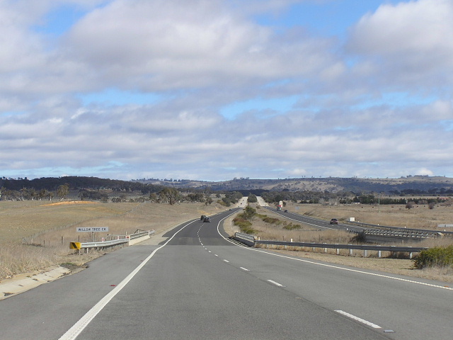 |
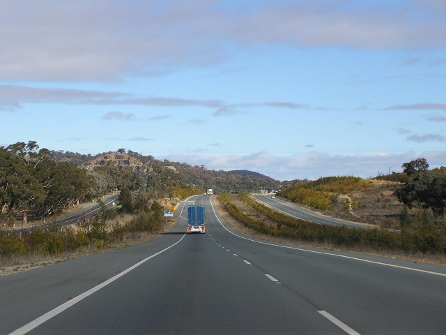
Looking south near the Hume Highway. This section of dual carriageway has a median up to a hundred metres wide, providing a superior alignment on the new carriageway while avoiding trees and farmland. Photo taken July 2004. |
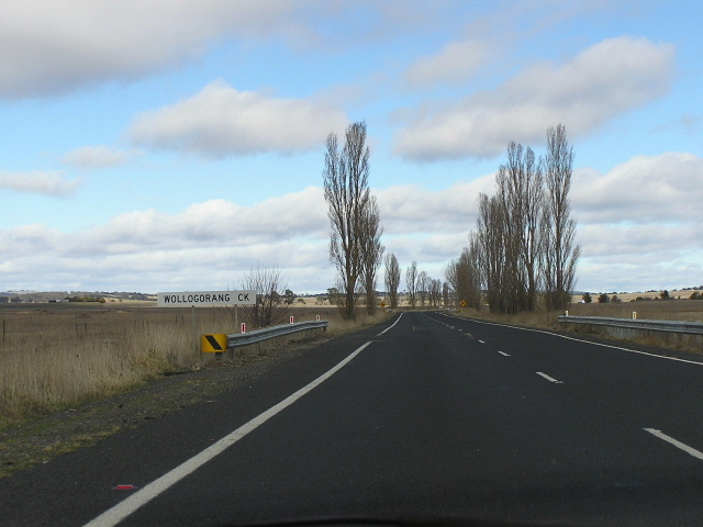 |
Southbound across Wollogorang Creek on the original carriageway. Photo taken July 2004. |
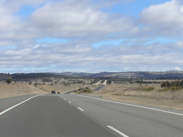 |
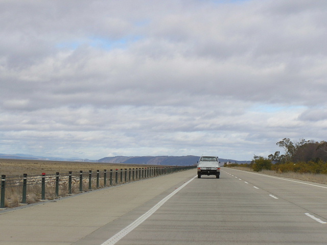
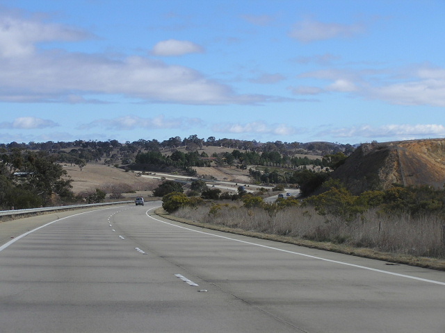
Southbound again between the Hume Hwy and Collector. Photo taken July 2004. |
 |
Southboudn AD sign for Collector, now bypassed by the Federal Hwy. Photo taken July 2004. |
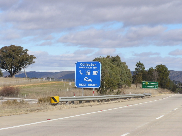 |
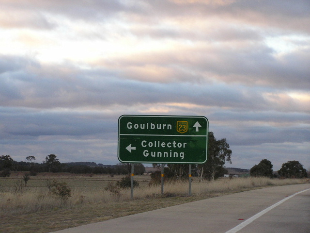
Services AD sign for Collector. Photo taken July 2004. |
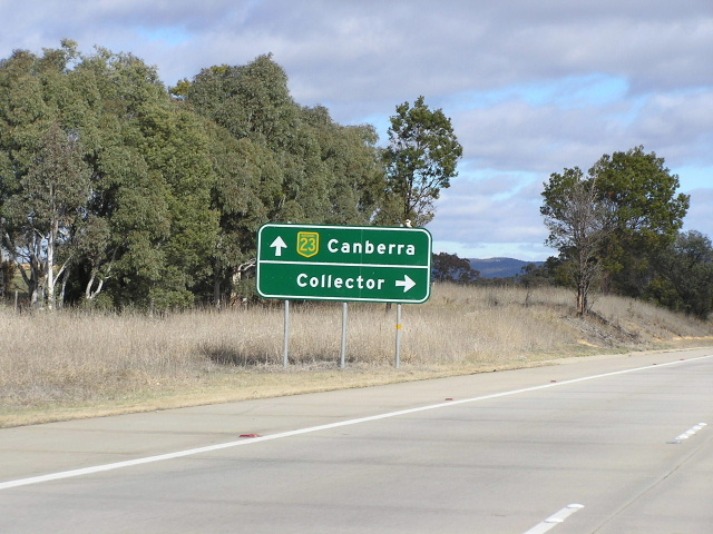 |
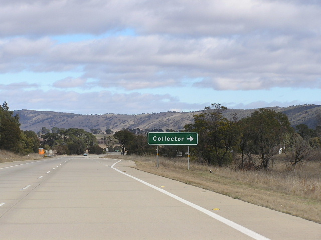
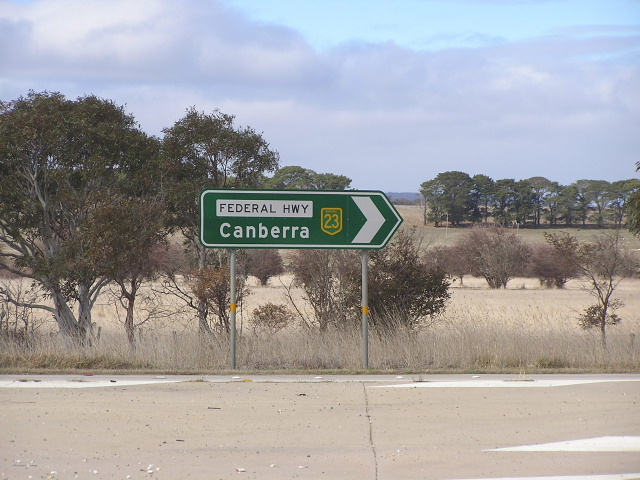
Southbound AD sign for Collector. I love this style of AD sign, very clear and simple, yet concise. Photo taken July 2004. |
 |
Last southbound AD sign for Collector. Photo taken July 2004. |
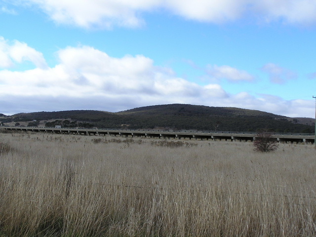 |
Looking east from the old highway to the Collector Bypass, crossing the Collector Creek floodplain on long bridges. Photo taken July 2004. |
 |
Black AD sign on the old highway at southern end of the Collector Bypass. Photo taken July 2004. |
 |
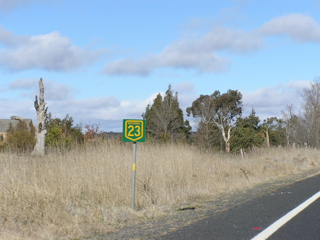
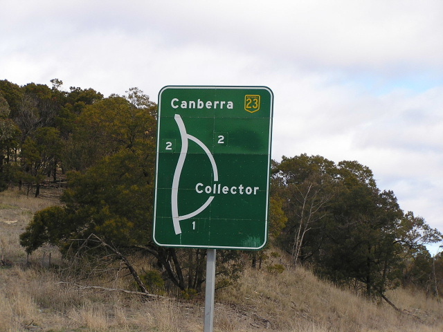
Typical Federal Highway ID sign, although not that common considering the lack of major at-grade intersections on the highway. Photo taken July 2004. |
 |
Another typical Federal Hwy ID sign, again at the southern end of Collector Bypass. Photo taken July 2004. |
 |
Northbound AD sign for Collector. Photo taken July 2004. |
 |
Northbound AD sign for Collector. Photo taken January 2004. |
 |
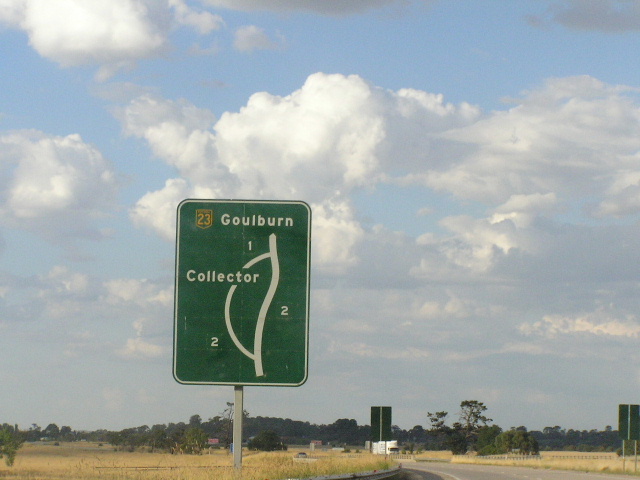
Southbound RD sign from Collector. Photo taken July 2004. |
 |
Looking south alongside an empty Lake George. Photo taken July 2004. |
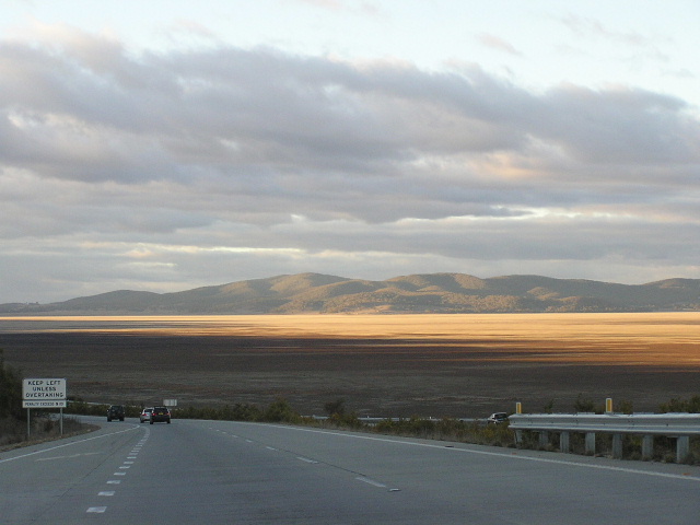 |
Looking north from Gearys Gap over an empty Lake George in the late afternoon. Photo taken July 2004. |
 |
Looking north in the same location, this time in a late January afternoon. Photo taken January 2004. |
 |
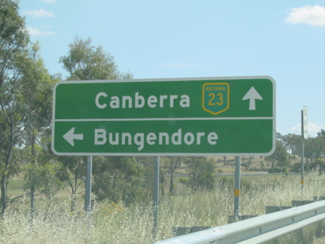
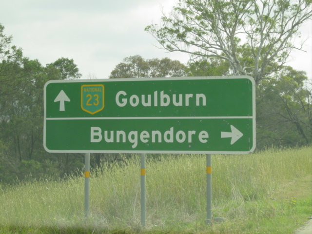
Southbound AD sign for Bungedore Rd. Photo taken July 2004. |
 |
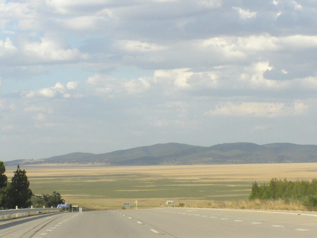
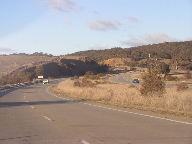
Looking south across the Yass River Valley. This section is the Brooks Creek Deviation, opened to traffic in March 1990. Photo taken July 2004. |
 |
Looking north on the same deviation. Photo taken July 2004. |
 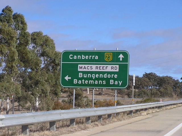 |
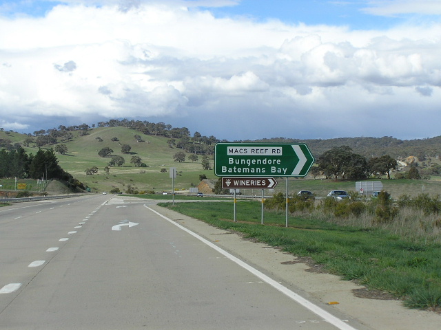
Old and new southbound AD signs for Macs Reef Rd. Note the strange font on the old sign and note on the new sign that NH23 is on a coverplate over an alpha-numeric route marker. Top photo taken 2002, bottom photo taken July 2004. |
 |
Southbound ID sign for Macs Reef Rd. Photo taken July 2004. |
 |
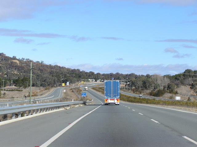
Northbound ID sign for Macs Reef Rd with a nice view of the Brooks Creek Deviation in the background. Photo taken October 2004. |
 |
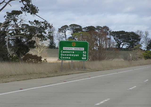
Northbound RD sign from Macs Reef Rd. This is the last one before the Hume Hwy. Photo taken July 2004. |
 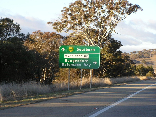 |
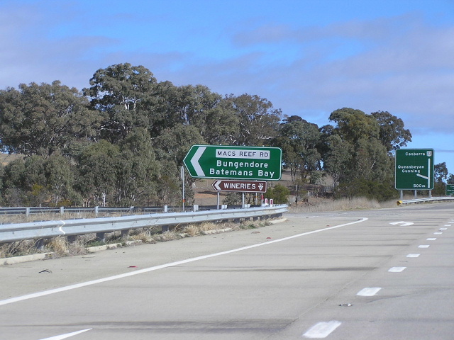
Old and new northbound AD signs for Macs Reef Rd. Note the features mentioned above. Top photo taken 2002, bottom photo taken July 2004. |
 |
Southbound through the Eagle Hawk Hill interchange. Photo taken July 2004. |
 |
Southbound through the Eagle Hawk Hill interchange. Photo taken July 2004. |
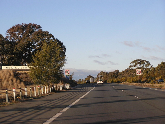 |
Northbound across the NSW/ACT border at Ginns Gap. Photo taken July 2004. |
Federal Hwy along the shores of Lake George in the 1930's. Scanned from 'The Roadmakers'. |
|
Last updated 12 December 2012 © Ozroads 2003-2012. |