NATIONAL HIGHWAY 23
Federal Highway (ACT Section)
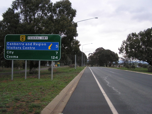
New distance sign southbound from Antill St, Watson, Photo taken October 2004.
Length (ACT): 7km
Northern Terminus (ACT): ACT/NSW Border, Ginns Gap
Southern Terminus (ACT): Northbourne Ave/Barton Hwy, Lyneham
Interstate continuation: North to the Hume Hwy near Goulburn
Focal Points: Canberra, Goulburn
Route Overview:
The Federal Hwy was constructed to serve Sydney-Canberra traffic in the 1930's and continues north through NSW to the Hume Hwy near Goulburn. It has been progressively upgraded since the 1970's and now is entirely dual carriageway. Within the ACT there is one grade-separated interchange at Majura Rd (Alt-23) and Horse Park Dr. Duplication of the Federal Hwy was begun in the 1990's and completed in December 2002 when the last section between Antill St and the NSW Border was duplicated. The short ACT section was initially opened to traffic in July 1931, previous access to the Canberra being via Tarago or Gunning.
This route used to be a National Route until 1974, when it was proclaimed a National Highway. Signage on the ground took a long long time to reflect this change and while all green direction signs now show the green and gold shield, there are still 2 remaining black and white trailblazers, dating from the 1980's.
Further reading (on-site):
Federal Hwy/Barton Hwy/Northbourne Ave intersection, Lyneham
Federal Hwy/Majura Rd/Horse Park Dr; Majura Interchange
Federal Highway (NSW)
Further reading (off-site):
Federal Hwy - Michael Greenslade
Some photos of the Federal Hwy duplication, taken in 2001 - Bradley Torr
Photos of National Highway 23 (ACT) |
|
 |
Southbound approaching Antill St. Photo taken July 2004. |
 |
Northbound from Antill St. This is where you really leave Canberra on NH23. Photo taken July 2004. |
 |
ID sign at Antill St. Photo taken July 2004. |
 |
ID sign at Antill St. Photo taken July 2004. |
 |
Southbound from Antill St, this sign was replaced when i came back in October 2004 with the sign in the main pic. Photo taken July 2004. |
 |
Northbound approaching Antill St. Photo taken July 2004. |
 |
Truck Bypass sign northbound near Wells Station Road. Photo taken July 2004. |
 |
Double chevron ID sign found everywhere in the ACT. Photo taken July 2004. |
 |
Other side of the same sign structure at Stirling Ave. Photo taken July 2004. |
 |
Looking south from Philip Ave. Photo taken July 2004. |
Photos of National Route 23 remnants in Canberra |
|
 |
Southbound NR23 trailblazer, dating from teh 1980's between Stirling Ave and Flemington Rd. Photo taken October 2004. |
 |
Northbound NR23 trailblazer, close-up and context pics. Photo taken July 2004. |
 |
|
Back to National 23
Back to ACT