NSW STATE ROUTE 76
Decommissioned
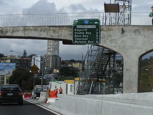
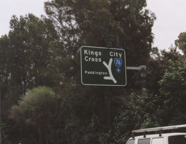
SR76's only distance sign, unfortunately located in a bad place for photography. The sign is on the footbridge at the eastern end of Kings Cross Tunnel. April 2004.
Lifespan: 1974-2004 (30 years)
Length: 7km
Eastern Terminus: Old South Head Rd & New South Head Rd, Watsons Bay
Western Terminus: William St & Palmer St, East Sydney
Route taken: William St, Kings Cross Tunnel, Bayswater Rd eb/Craigend St wb, New South Head Rd
Focal Points: Sydney, Kings Cross, Edgecliff, Vaucluse, Watsons Bay
RTA Internal Classification: Main Road No. 173
Route Overview:
State Route 76 was a major radial route to the east of Sydney, connecting the CBD to Kings Cross, Edgecliff, Rose Bay and Watsons Bay. It was introduced in 1976 - after the opening of the Kings Cross Tunnel - extending from the intersection fo William St & Palmer St at East Sydney to the intersection of Hopetoun Ave and Marine Pde, Watsons Bay, via William St, Kings cross Tunnel, Bayswater Rd, New South Head Rd and Hopetoun Ave. Some years later, in 1994, the eastern end of this route was moved from Hopetoun Ave, instead following New South Head Rd to terminate at Old South Head Rd, Watsons Bay. This was due to a shake of road classifications and Hopetoun Ave was declassified, returning to Woollahra Council's ownership.
The route was completey decommissioned in August 2004 but one or two signs remain until the Cross City Tunnel opens in June 2005. If the route had survived until this time it was suggested that SR76 may have been extended, via the Cross City Tunnel to Darling Harbour.
Notable events:
Mid-1830s - New South Head Rd constructed
Dec 1975 - Kings Cross Tunnel opened
and SR76 introduced not long afterwards (Hopetoun Ave alignment)
1994 - Re-routed to meet Old South Head Rd
Aug 2004 - Route decommissioned
Explore SR76:
Kings Cross Tunnel
Cross City Tunnel
Photos of the former State Route 76 |
|
 |
ID sign at the intersection of William St and Crown St, East Sydney. April 2004. |
 |
ID sign at the intersection of William St and Palmer St, East Sydney. April 2004. |
 |
ID signs at the western portal of the Kings Cross Tunnel. April 2004. |
 |
Northbound on Darlinghurst Rd approaching William St. April 2004. |
 |
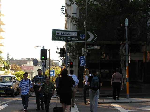
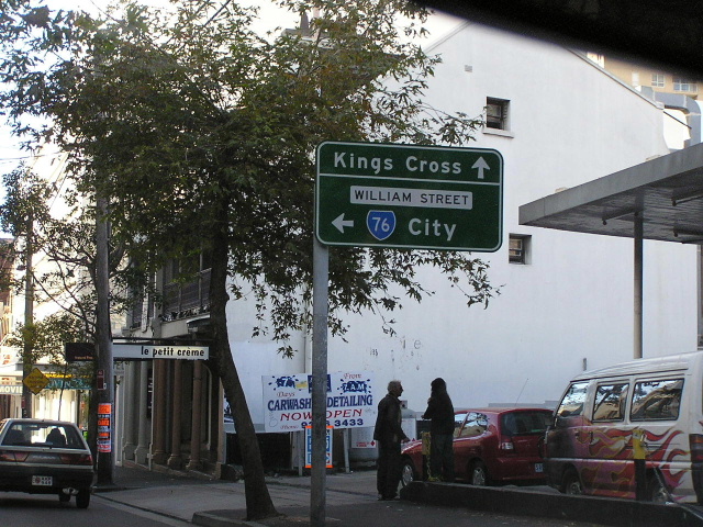
William St ID sign at Kings Cross. April 2004. |
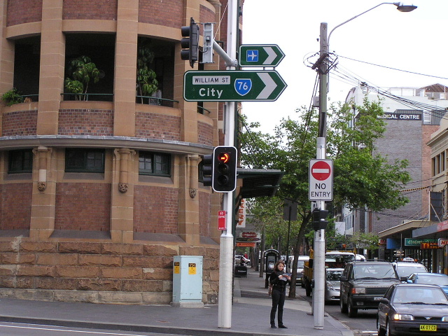 |
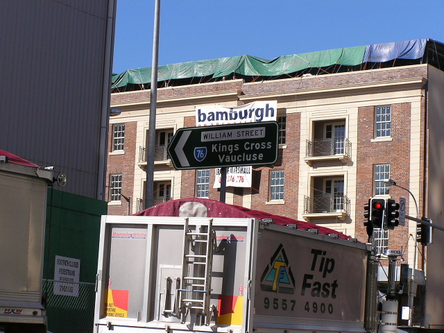
Remnant SR76 ID sign at Kings Cross, still remaining in October 2006. |
 |
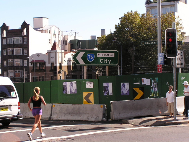
William St ID sign looking west into the Kings Cross Tunnel. July 2003. |
 |
ID signage at McLaughlin St, Rushcutters Bay. April 2004. |
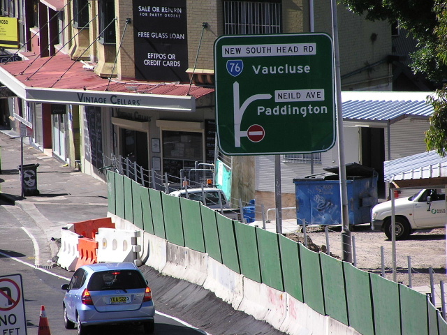 |
AD sign for Neild Ave (former RR1 & SR11). April 2004. |
 |
Heading the other direction approaching Neild Ave and Kings Cross Tunnel. July 2003. |
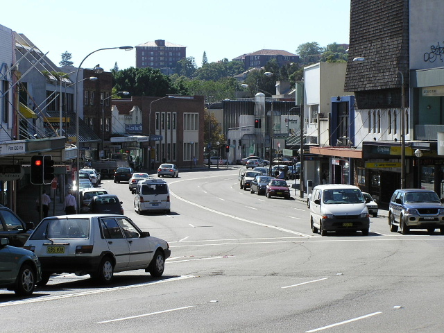 |
Looking east through Double Bay. April 2004. |
 |
ID sign in a picturesq location at O'Sullivan Rd, Rose Bay. April 2004. |
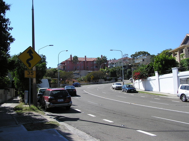 |
The Heartbreak Hill of City-to-Surf fame. April 2004. |
 |
Looking north at Vaucluse Rd just about at the top of Heartbreak Hill. April 2004. |
 |
Hopetoun Ave left - New South Head Rd right. SR76 originally went left but was re-routed in 1994 to go right. April 2004. |
 |
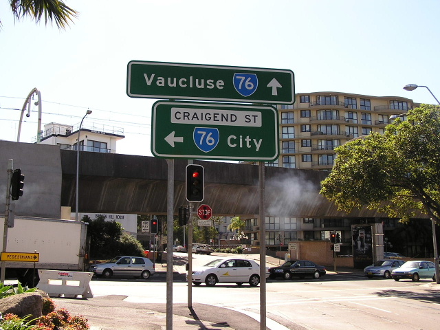
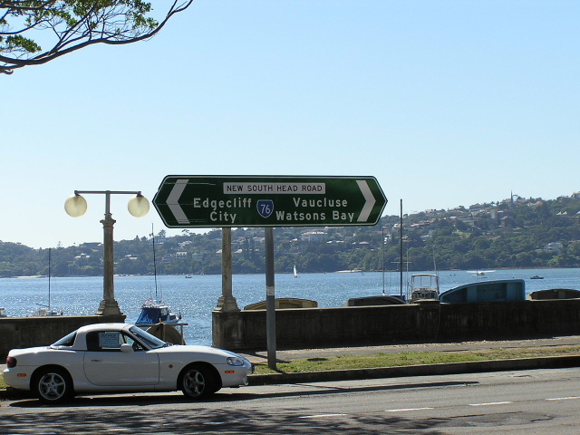
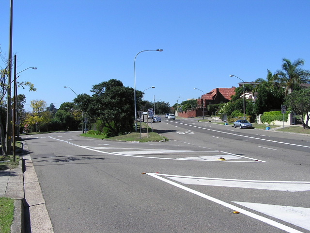
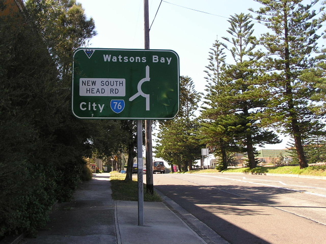
The eastern terminus of SR76 at Old South Head Rd. April 2004. |
 |
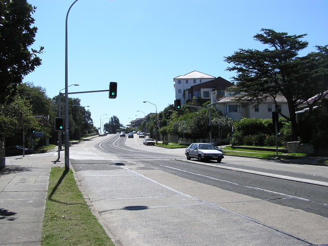
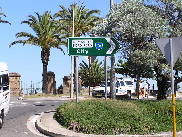
Same intersection heading north. April 2004. |
 |
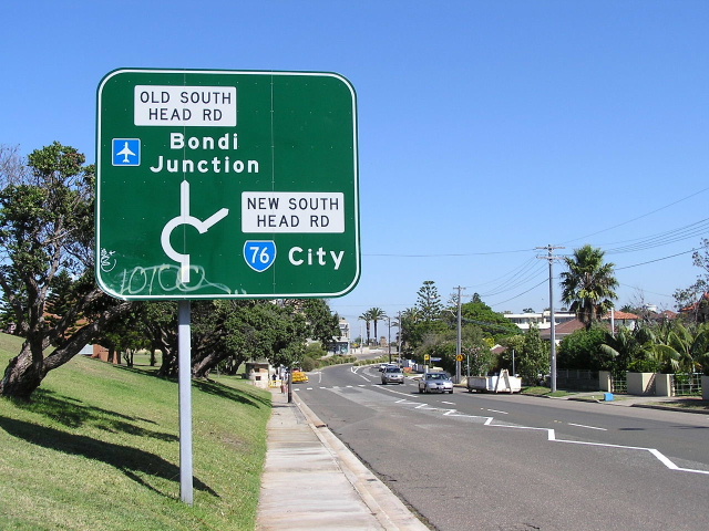
ID sign marking the start of SR76. April 2004. |