NORTHERN TERRITORY STATE ROUTES
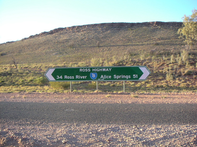
Typical State Route signage in Northern Territory - this one is located on the Ross Highway east of Alice Springs. Source: NT Government, Oct 2004.
Northern Territory, like most Australian states, has a State Route marking system One might think the title is quite unusual given that Northern Territory is not actually a state, but a territory. Nonetheless, the system is built on the guidelines for State Route marking which were established by the National Association of Australian State Road Authorities (NAASRA) in 1961.
The system itself was first introduced in August 1987, with no changes since that I know of. Signposting of the system was undertaken gradually, as traffic volumes warranted and the need for signs to be replaced eventuated. To this day, not all routes are fully signposted but there are sufficient signs to make the system useful to motorists.
Route numbers are allocated viz:
- East-west routes get even numbers
- North-south routes get odd numbers
- Numbers begin in the south of the state and increase the further north you go
It should be noted that the State Route marking system is entirely a rural system - no marked routes exist in Darwin, the closest being the Arnhem Highway which connects Darwin with Kakadu National Park.
The system appears to have been planned with scope for the introduction of future routes, as there are several unallocated numbers for both east-west and north-south routes. However, there appears to be a lack of suitable road routes to allocate these numbers to so perhaps it was a really forward-thinking plan, preparing for the future expansion of Northern Territory’s rural road network. The actual introduction of these routes seems unlikely given that conversion to alpha-numeric route marking is not far away.
A large percentage of the total State Route network remains unsealed, so it should be noted that the existence of a State Route shield is not an indication of road quality. The aim of the system is to provide a network of numbered roads, strategically covering the state. Road quality varies greatly, from the two-lane sealed Arnhem Highway (SR36) to the barely-formed Canning Stock Route (SR16).
Candidates for future inclusion in the state route system are few and far between, but one I have identified as a possibility is the Nathan River Road (Borroloola to Roper Bar).
Follow the links below for information on each individual route.
List of active Northern Territory State Routes
Namatjira Drive |
|
Luritja Road |
|
Lasseter Highway |
|
Tanami Road |
|
Larapinta Drive |
|
Ross Highway |
|
Lajamanu Road |
|
Plenty Highway |
|
Sandover Highway |
|
Barkly Stock Route & Calvert Road |
|
Roper Highway |
|
Kakadu Highway |
|
Dorat Road |
|
Central Arnhem Road |
|
Daly River Road |
|
Batchelor Road |
|
Cox Peninsula Road |
|
Arnhem Highway |
Last updated 17 June 2012 © Ozroads 2003-2012. |