State Route 88 |
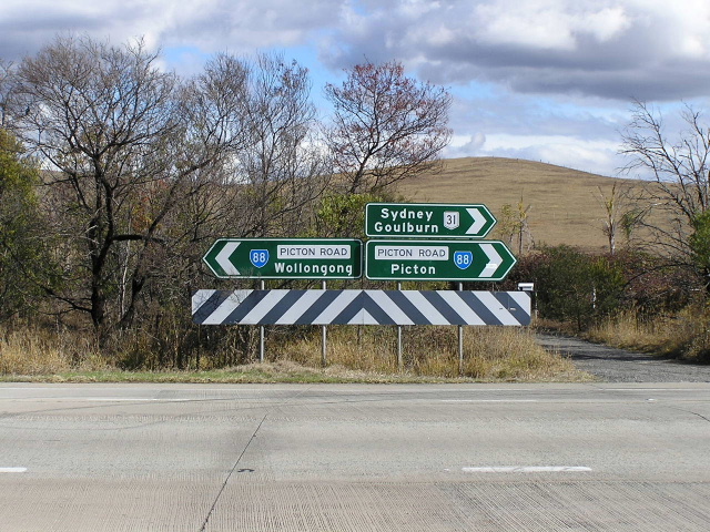
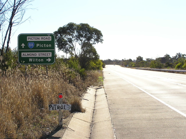
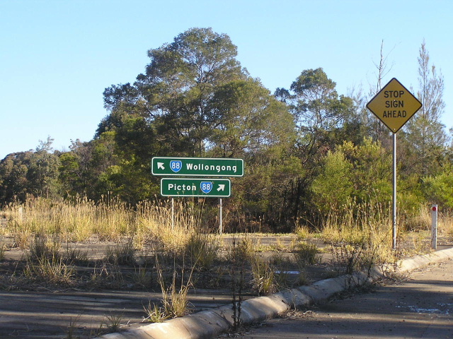
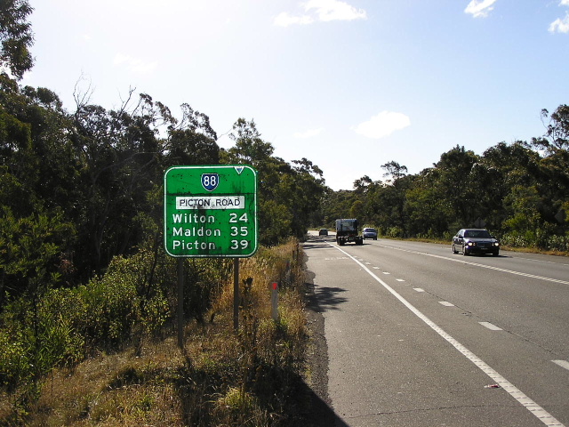
ID sign assembly at the intersection of Picton Rd & Almond St, Wilton. Note the incorrect NR31 shield. June 2006.
In 2013, RMS will be implementing a new alpha-numeric route numbering system. For more information, visit the RMS Website. |
|
Forthcoming alpha-numeric route number: |
|
Length: 41km
Eastern Terminus: Princes Hwy & Northern Distributor & Old Princes Hwy, North Wollongong
Western Terminus: Argyle St & Menangle St, Picton
Route Taken: Menangle St, Picton Rd, Mt Ousley Rd, Old Princes Hwy
Focal Points: Picton, Wollongong
RTA Internal Classification: Main Road No. 612 (Picton to Hume Hwy), Main Road No. 95 (Hume Hwy to Princes Hwy)
Explore State Route 88:
- Route Overview
- History and Development
- Former Alignment: Maldon to Wilton
- Former Alignment: Wilton
State Route 88 is an east-west state route in New South Wales, connecting the Illawarra region with the Hume Highway, the Southern Highlands and the rural south-western extremity of Sydney. Between the Hume Highway and Mount Ousley Road (National Route 1) the route is very heavily trafficked for a two-lane single carriageway road, carrying a substantial amount of coal traffic bound for Port Kembla and lighter traffic bound for Sydney’s western suburbs.
State Route 88 begins at the intersection of Argyle St (Old Hume Hwy) and Menangle St, Picton, and heads almost directly west via Maldon to meet the Hume Highway . At Wilton, State Route 88 turns southeast and passes through the Sydney Water Supply Catchment Area before meeting Mount Ousley Rd, which it follows into North Wollongong.
State Route 88 was introduced in 1974, and followed a somewhat different route to what it follows today. Since 1974, two major deviations have been completed to dramatically alter State Route 88 at Maldon and Wilton - these will be covered in more detailed under history. The third major change pertains to the eastern terminus of State Route 88 which, I believe, is currently located at the intersection of Princes Hwy, the Northern Distributor & Old Princes Hwy at North Wollongong.
The Department of Main Roads' Schedule of Description of State Routes from 1982 provides the following description of State Route 88 in its original form:
"From the junction of Main Road No. 513 [Mount Ousley Rd] and Trunk Road No. 95 [Picton Rd/Mt Ousley Rd] near Wollongong, then via Trunk Road No. 95 [Picton Rd] to the junction with State Highway No. 2 [Argyle St - formerly Hume Highway] at Picton."
Notwithstanding the changes to the classified road system since that description was published, it appears that State Route 88 has changed. Signs have appeared on Mount Ousley Road, east of the Southern Freeway, since about 1986 (pers. comm. Paul Rands) and recently updated signage (2004) has confirmed that State Route 88 exists along Mount Ousley Road through Fairy Meadow. However, not a single sign on the section of Mount Ousley Road between Picton Rd and the Southern Freeway acknowledges SR88 duplexing with National Route 1 - so this is what we call an unsigned duplex.
Whilst current signage at the junction of Old Princes Hwy & Mount Ousley Rd in Fairy Meadow indicates that State Route 88 does not continue to the Princes Hwy junction, it surely must as it is the only logical terminus for State Route 88.
|
Photos of State Route 88 |
|
 |
AD sign southbound on Argyle St, Picton, indicating the beginning of State Route 88. State Route 56 also has its southern terminus at the upcoming intersection. June 2006. |
 |
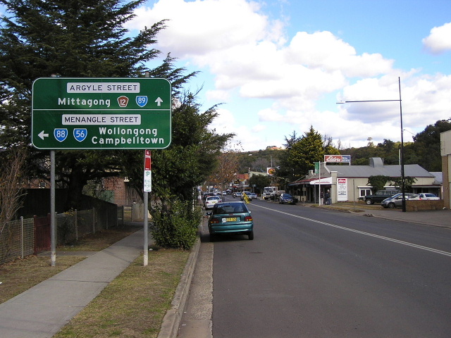
Argyle St northbound approaching the intersection with Menangle St in Picton. Note the extremely non-standard design of this AD sign. How much worse does it look than the above sign which is of standard design! June 2006. |
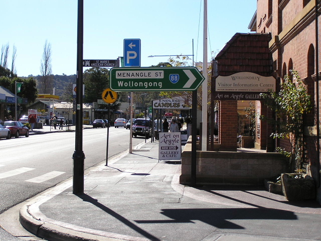 |
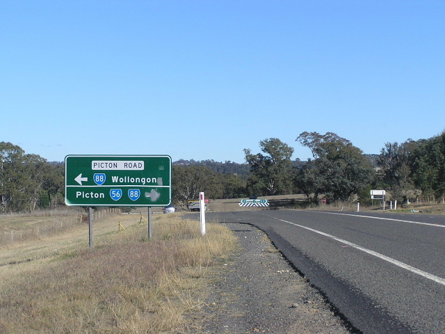
ID sign at the intersection of Argyle & Menangle Streets in Picton, marking the beginning of State Route 88. Note that this sign should show SR56 as well. June 2006. |
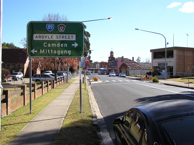 |
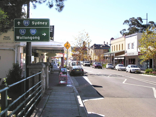
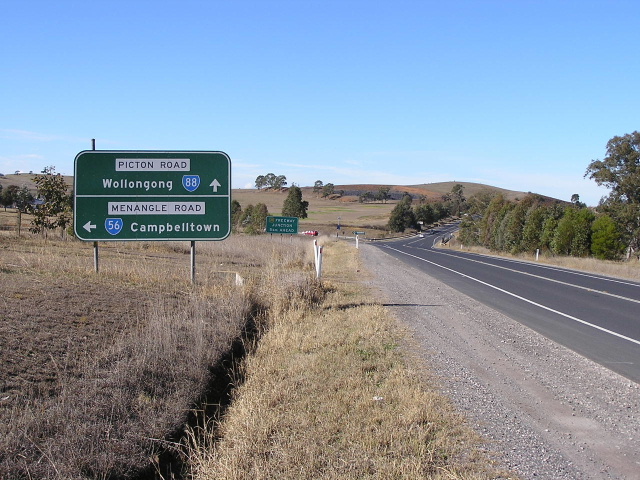
Looking west along Menangle St towards the western terminus of SR88 and the southern terminus of SR56. June 2006. |
 |
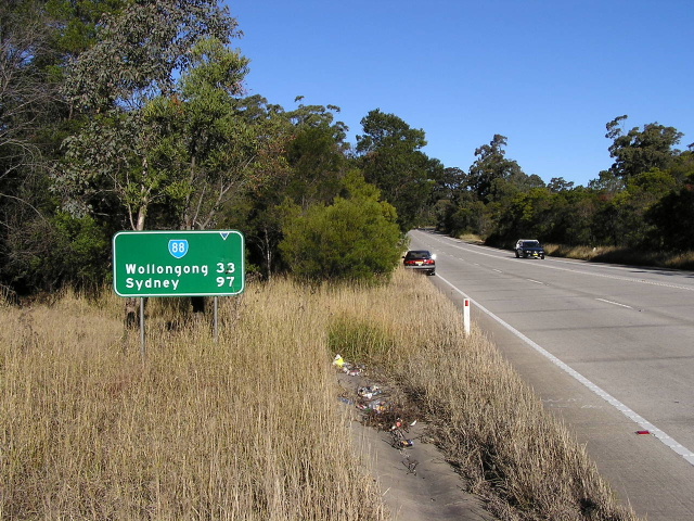
The first eastbound distance sign on SR88, heading east on Menangle St through Picton. Source: Michael Mak, Dec 2006. |
 |
Menangle St, looking east through the outskirts of Picton. June 2006. |
 |
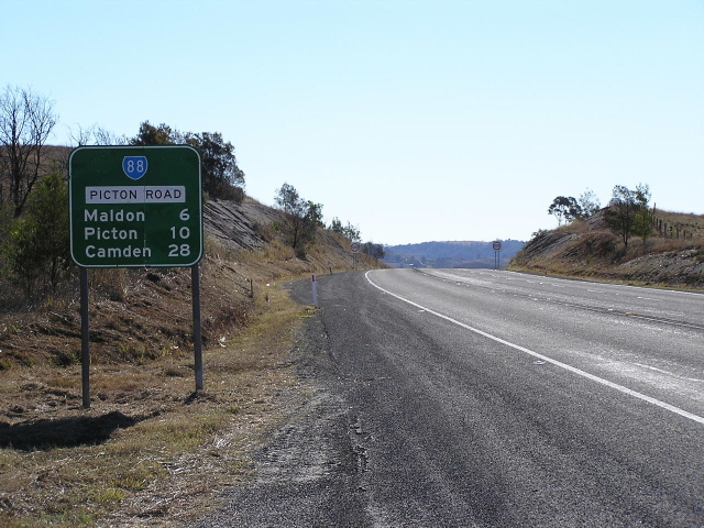
Picton Rd looking west from Maldon towards Picton, showing how winding the road is between Picton and Maldon. June 2006. |
 |
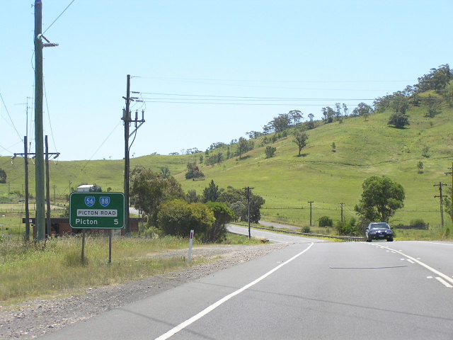
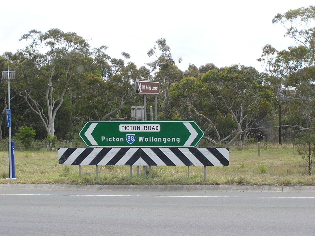
Dual ID signs showing the SR56/88 duplex at the intersection of Picton Rd & Maldon Bridge Rd, Maldon. June 2006. |
 |
Distance sign heading west from Menangle Rd at Maldon. Note the old pavement that was part of Menangle Rd, prior to the relocation of SR88 between Maldon and Wilton, in the background. June 2006. |
 |
Looking east towards the intersection of Picton & Menangle Roads at Maldon. June 2006. |
 |
Again looking east, this time a little closer to the intersection. Note that this sign is 'freeway green' and still refers to the Hume Highway as 'Freeway' - it quite possibly dates from the 1980 opening of this deviation. June 2006. |
 |
Non-standard AD sign southbound on Menangle Rd approaching Picton Rd. June 2006. |
 |
Looking south-east towards the Nepean River bridge, between Menangle Rd and Hume Hwy. Dec 2005. |
 |
Eastbound approaching the interchange with Hume Highway - note the left lane was recently made into a left-turn-only lane. Dec 2005. |
 |
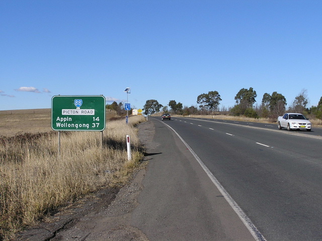
Distance sign westbound on Picton Road, heading west from the junction with Wilton Park Rd. June 2006. |
 |
ID sign for Picton Rd exit, northbound on Hume Highway. Note this sign is 'freeway green' and has a non-reflective and very faded State Route 88 shield. June 2006. |
 |
Southbound on Hume Highway, this sign is the 2km AD sign for Picton Rd exit. Note that it is in the original freeway-type AD sign style - current designs have a longer straight-arm on the fork and also the route marker for straight ahead too. July 2004. |
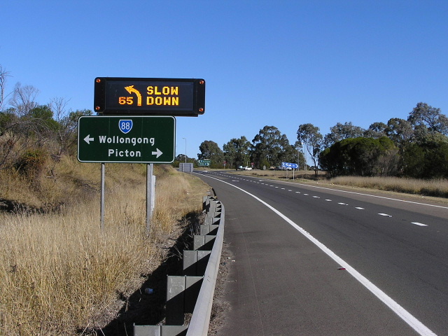 |
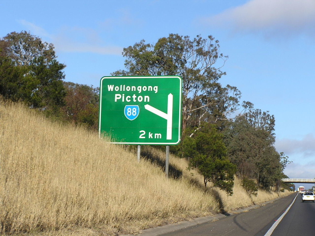
AD sign on the southbound off-ramp from Hume Highway to Picton Rd. Note the VMS which detects when vehicles are using the ramp and displays the warning message. June 2006. |
 |
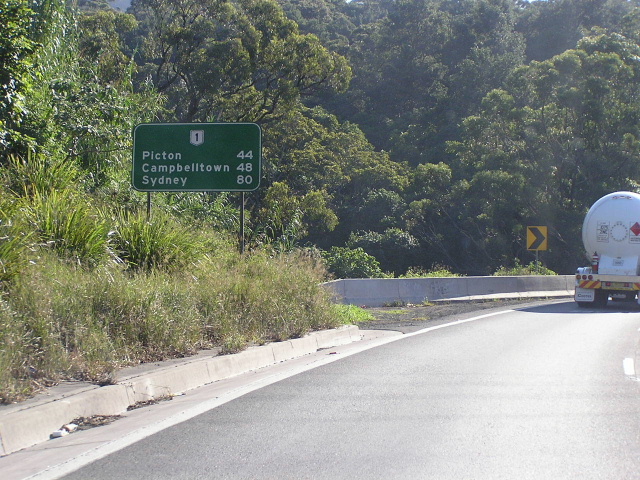
Distance sign heading east along Picton Rd from the Hume Highway. I wonder why Wilton is not mentioned. June 2006. |
 |
AD sign westbound approaching Hume Highway. The left lane has been a left-turn-only lane for quite a long time. June 2006. |
 |
Looking west along Picton Rd between Hume Highway and Wilton. Feb 2006. |
 |
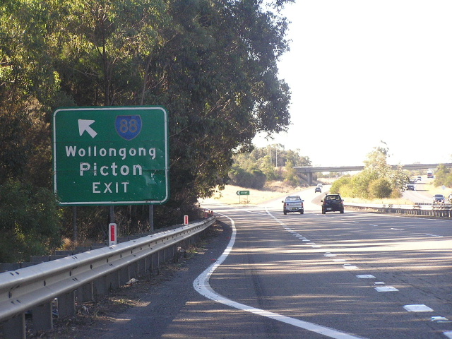
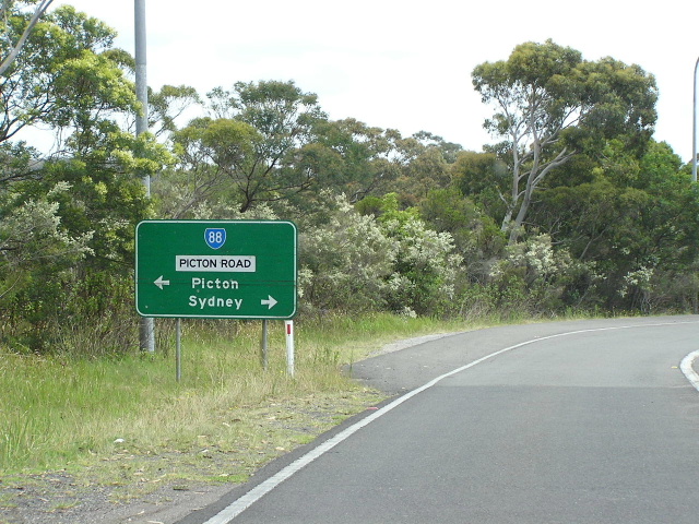
AD sign north-westbound on the Wilton bypass, approaching Almond St at the western end of the bypass. June 2006. |
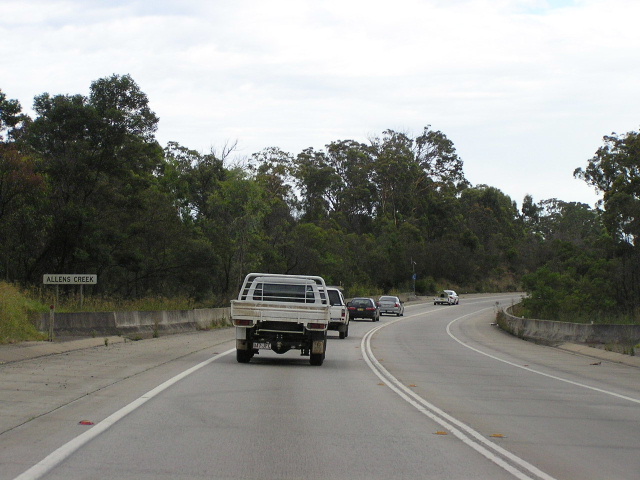 |
Looking north-west across Allens Creek on the Wilton bypass. Compare this with the steep crossing of Allens Creek on the old alignment. June 2006. |
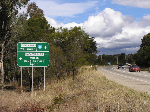 |
Picton Rd south-eastbound approaching Macarthur Dr, near the southern end of the Wilton bypass. June 2006. |
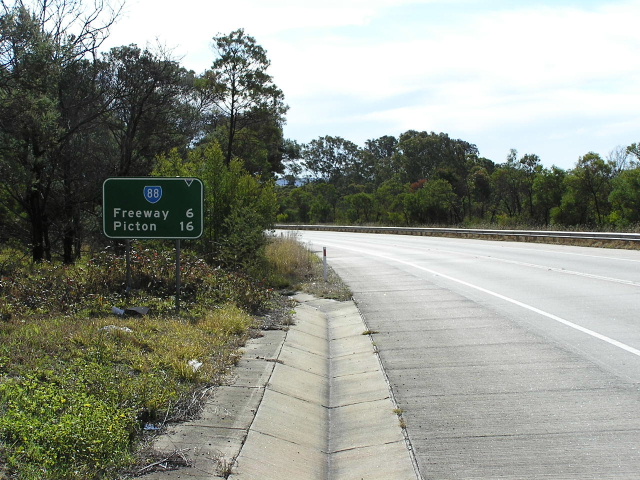 |
Distance sign heading north-west from Macarthur Dr on the Wilton bypass. Note how this sign refers to the Hume Highway as 'Freeway' despite being no older than 1993. June 2006. |
 |
Sign assembly on Macarthur Dr southbound approaching Picton Rd. June 2006. |
 |
Distance sign heading south-east from Macarthur Dr on the final leg of the Wilton bypass (an abandoned section of the old alignment is just to the left of where this photo was taken, running parallel to this section of the bypass). Note the lack of shoulders on this section. June 2006. |
 |
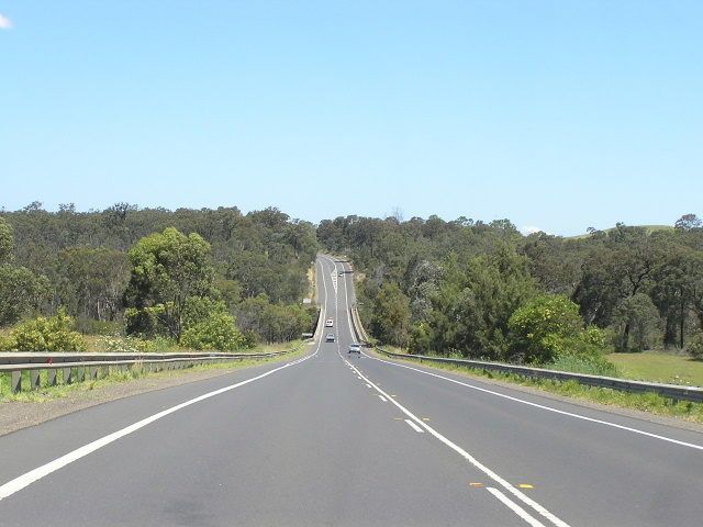
Looking south-east on the very boring section of Picton Rd between Wilton and Mt Keira Rd. There are several truck parking areas/rest areas along this section. Dec 2004. |
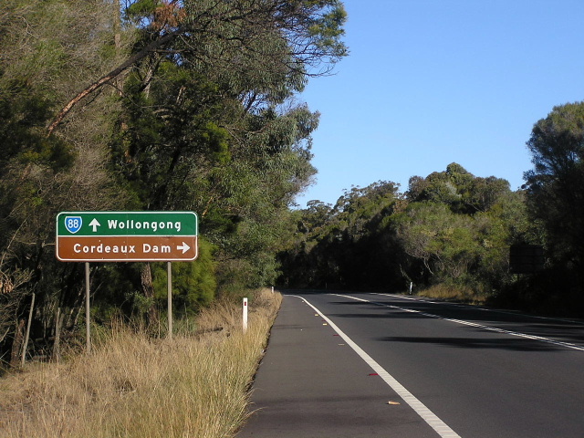 |
Stupidly-design AD sign south-eastbound approaching the turnoff for Cordeaux Dam. June 2006. |
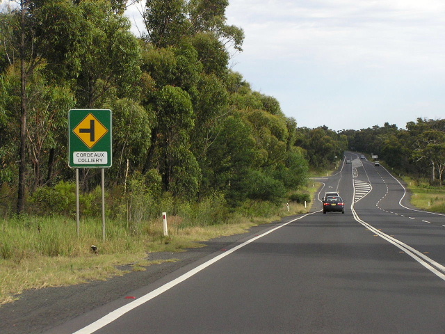 |
Looking north-west at the turnoff for Cordeaux Colliery. Picton Rd serves quite extensive coal traffic, including this mine and others in the Picton area. Feb 2006. |
 |
Distance sign heading north-west from Mt Keira Road. July 2004. |
 |
Unusually large AD sign northbound on Mt Keira Rd approaching Picton Rd, 4km west of Mt Ousley Rd. Dec 2004. |
 |
ID sign at the intersection of Picton & Mt Keira Roads. Mt Keira Rd was the original route between Wilton and Wollongong, bypassed by this section of Picton Rd during World War 2. Dec 2004. |
 |
Unusual AD sign eastbound on Picton Rd approaching Mt Ousley Rd. I don't think I've ever seen the opposing lanes shown like that before. Dec 2004. |
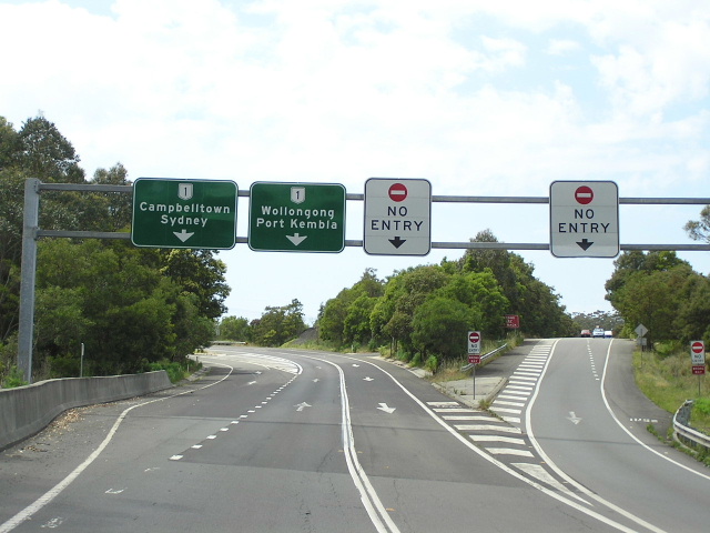 |
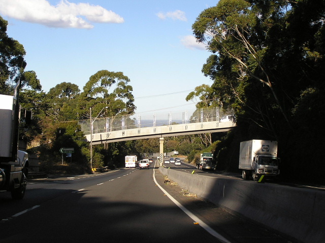
Gantry set-up at the interchange with Mt Ousley Road. Dec 2004. |
 |
AD sign southbound on Mt Ousley Rd approaching Picton Rd. Note no mention of SR88 straight ahead. Feb 2006. |
 |
Mt Ousley Rd looking north towards the Picton Rd interchange. The left turn onto Picton Rd in the middle distance is the site of the original at-grade intersection. Sep 2006. |
 |
Distance sign southbound on Mt Ousley Dr, just south of Clive Bissell Drive. Note no mention of State Route 88. Sep 2006. |
 |
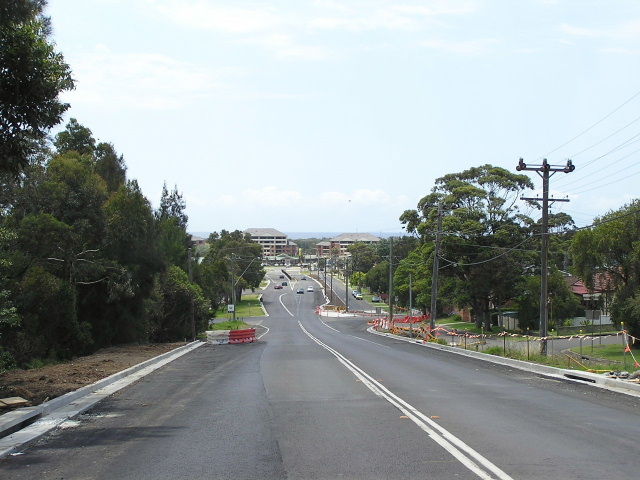
Looking south along the six-lane section of Mount Ousley Road, between Clive Bissell Dr and New Mt Pleasant Rd. Sep 2006. |
 |
Looking east at New Mt Pleasant Rd. As you can see the road has changed - only two lanes southbound now. July 2004. |
 |
Distance sign heading west along Mt Ousley Rd at Mount Ousley. Again note no mention of State Route 88. April 2005. |
 |
Looking east along Mt Ousley Rd towards the beginning of the Southern Freeway. Note the reappearance of State Route 88 to guide motorists along Mt Ousley Rd and into Wollongong CBD. Dec 2004. |
 |
Unusual, but very large, overhead lane allocation sign marking the Mt Ousley Road off-ramp from the Southern Freeway. Dec 2004. |
 |
Looking east along Mt Ousley Road through Mt Ousley with Old Princes Highway in the distance. Dec 2004. |
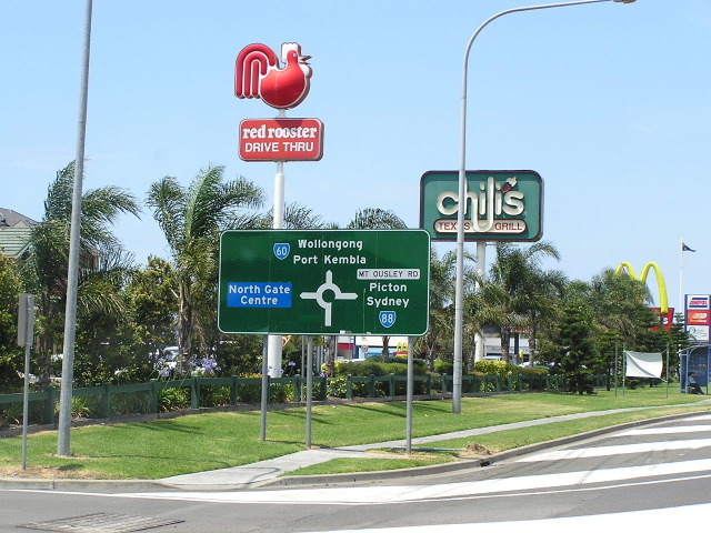 |
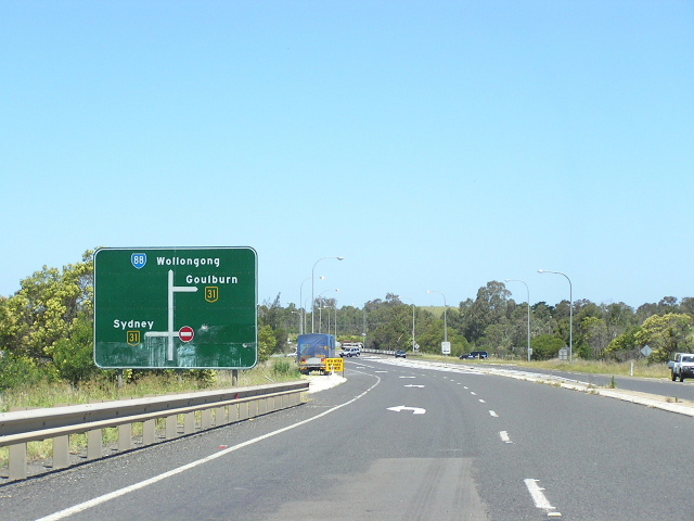
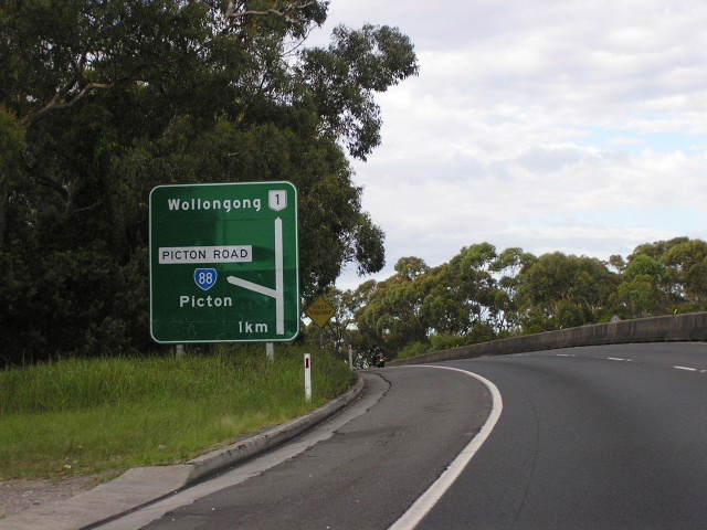
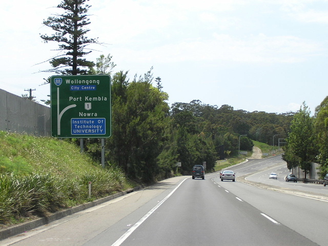
AD sign southbound on Old Princes Highway approaching Mt Ousley Rd at Fairy Meadow. Note SR60 is sign straight ahead due to the close proximity of SR88's terminus. Dec 2004. |
Last updated 12 December 2012 © Ozroads 2003-2012. |