The original route of State Route 88 between Maldon and Wilton traversed Maldon Bridge Rd, Maldon Bridge, Wilton Park Rd, Berwick Park Rd, Condell Park Rd, Hornsby St and Almond St. Problems with the structural integrity, width and load-carrying capacity of the Maldon Bridge - and a growth in coal traffic from the mines around Picton and the Burragorang Valley, necessitated the construction of a new route between these two points. The current alignment, running mostly to the north of the old road, was opened to traffic in April 1980.
Photos of the former alignment of State Route 88 between Maldon and Wilton |
|
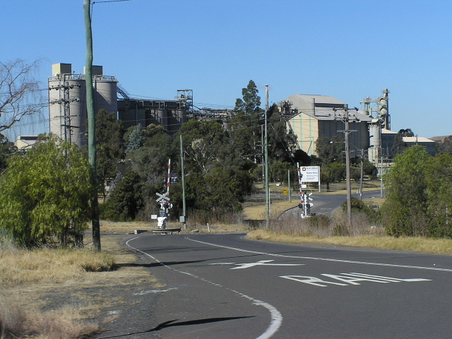
Maldon Bridge Road, looking south from Picton Road (the current route of State Route 88) at Maldon. The level crossing is for the Main Southern Railway line and the Blue Circle Cement plant is in the background. July 2004. |
|
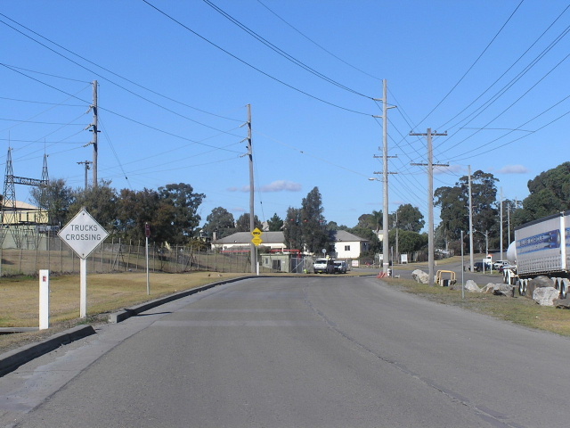
Maldon Bridge Road, looking south adjacent to the cement plant at Maldon. Note the very aged and faded "Trucks Crossing" warning sign - this sign may well have been there prior to the construction of the deviation. June 2006. |
|
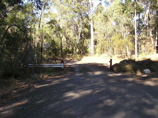
Maldon Bridge Road, about 800m south of Picton Rd, ends at this gate. The old road lies beyond the gate (it has been closed to traffic since 1980) and a lookout with views of the bridge lies to the right. June 2006. |
|
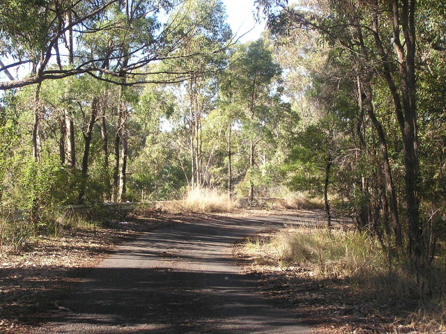
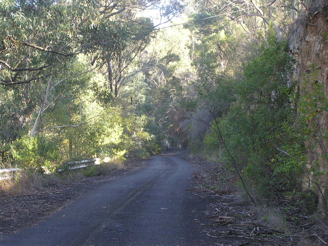
Looking south beyond the gate, just prior to the first bend. The old pavement is still largely intact, complete with yellow line markings, albeit rather overgrown. June 2006. |
|
Looking south again, this time around the first bend. At this point the old road hugged the cliff face as it descended to the Maldon Bridge. A hairpin bend is up ahead. June 2006. |
|
A view, from the previously mentioned lookout, south over the Maldon Bridge. The bridge is no longer accessible even to pedestrians. June 2006. |
|
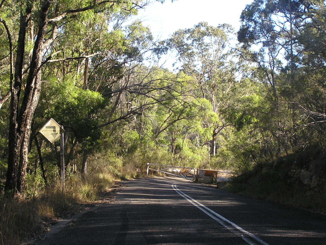
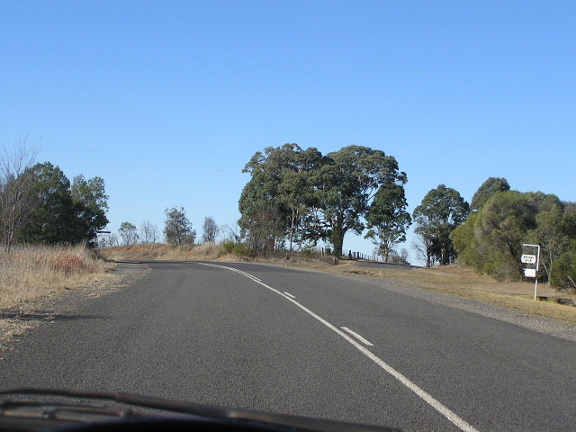
This view is looking north on Wilton Park Rd at the point where the old southern approach to Maldon Bridge is closed to traffic. No lookout on the side - although I didn't walk along the approach towards the bridge. Note the curve warning sign that has clearly seen better days. June 2006. |
|
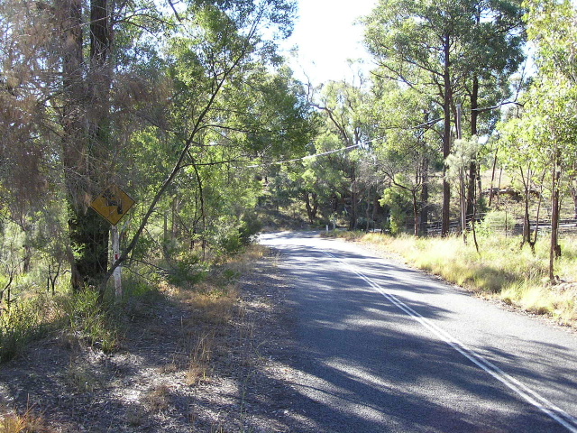
Another northbound view on Wilton Park Rd and another very old warning sign. June 2006. |
|
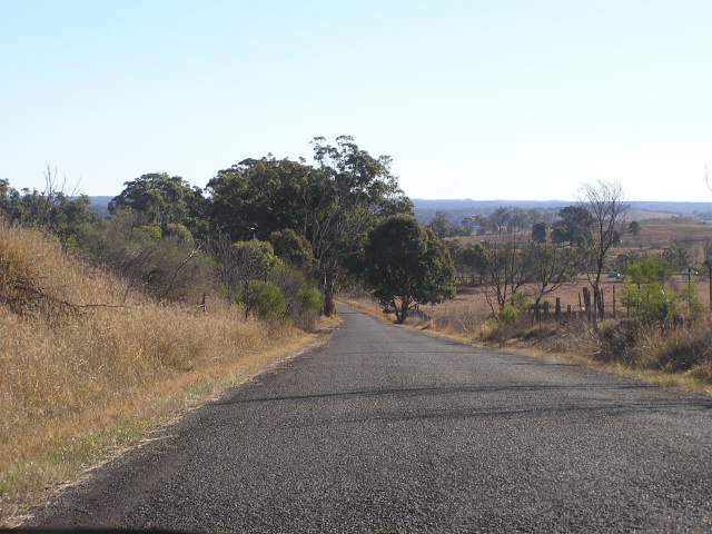
Wilton Park Rd looking south towards Shiel Rd, showing one of the right-angle bends that were removed by construction of the Maldon-Wilton deviation. June 2006. |
|
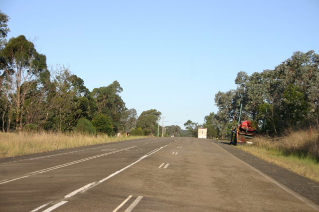
Wilton Park Rd looking east near where it rejoins Picton Rd. The road splitting off to the right is Berwick Park Rd, part of the original route of State Route 88 but now truncated by the Hume Highway. June 2006. |
|
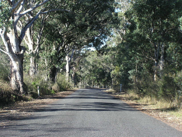
Looking west from the eastern side of Hume Highway (which can be just made out on the right-hand side of the photo) on Condell Park Road. June 2006. |
|
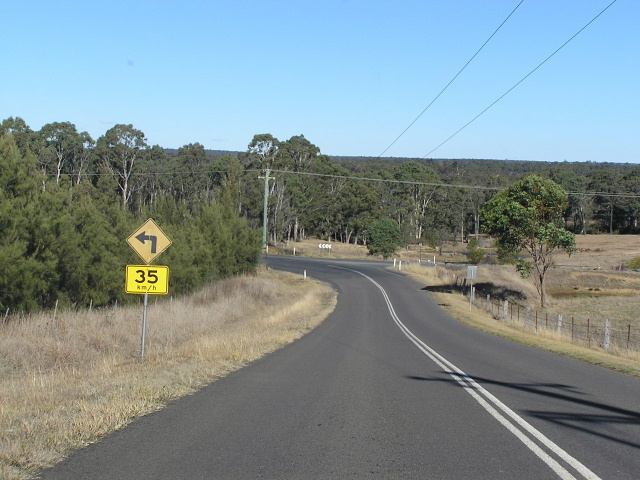
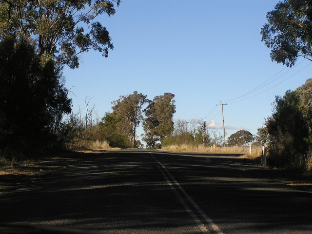
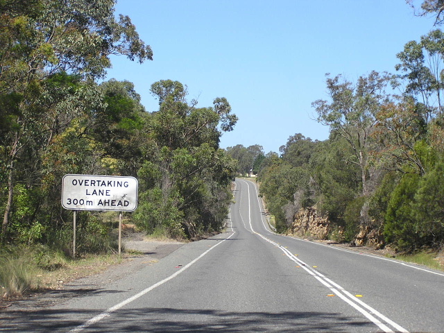
Looking east along Condell Park Rd approaching one of the right-angle bends that was bypassed by the deviation. June 2006. |
|
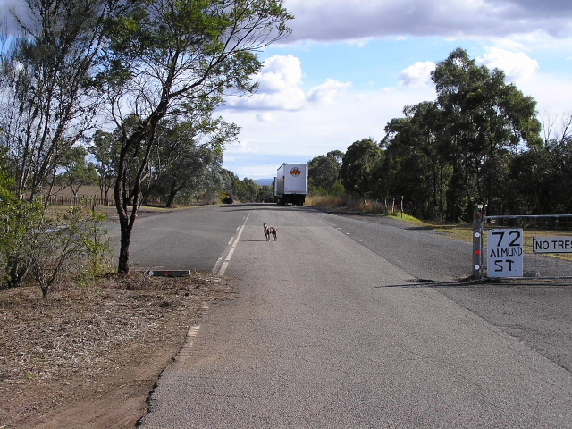
Looking east along Hornby Street adjacent to Picton Rd, near Janderra Lane. The turnoff just ahead gives access to/from Picton Rd as the old and new alignments run alongside each other. June 2006. |