Southern Section Campbelltown - Appin - Bulli Tops |
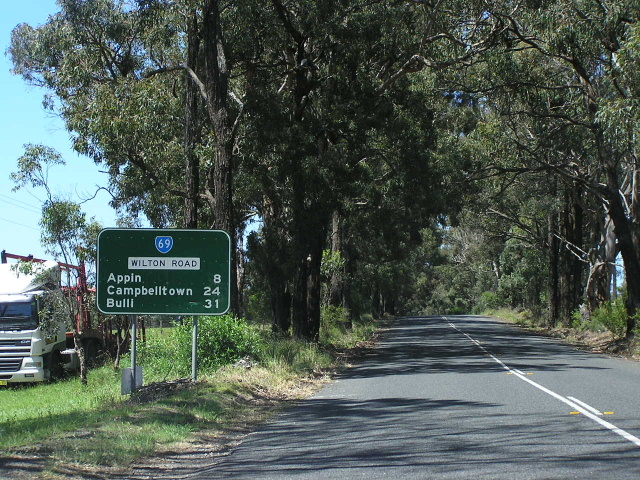
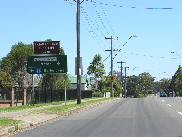
State Route 69 shield on a distance sign on Wilton Rd, heading northeast from Wilton. No, this shield should not be on this sign! Dec 2005.
In 2013, RMS will be implementing a new alpha-numeric route numbering system. For more information, visit the RMS Website. |
|
Forthcoming alpha-numeric route number: |
|
Length: 37km
Northern Terminus: Hume Hwy & Narellan Rd, Campbelltown
Southern Terminus: Southern Fwy & Princes Hwy & Appin Rd, Bulli Tops
Route taken: Narellan Rd, Appin Rd
Focal Points: Penrith, Campbelltown, Bulli
RTA Internal Classification: Main Road No. 178 (Narellan Rd), Main Road No. 177 (Appin Rd)
For the northern section of State Route 69 click HERE.
For the decommissioned section of State Route 69 click HERE.
The southern section of State Route 69 stretches from the Hume Highway at Campbelltown to the Princes Hwy and Southern Fwy at Bulli Tops, passing through Appin. It is an important route to connect the southwest of Sydney with Wollongong, despite traffic being advised to use the Hume Highway and Picton Rd route instead. Appin Road caters for coal traffic travelling between the collieries near Appin and Port Kembla, as well as passing through the catchment areas for Woronora and Cataract Dams.
State Route 69 was introduced on this portion of the route in 1974, following the successful trialling of the state route numbering system (included in which was SR69 between Penrith and Camden) during 1973.
Narellan Road was established long before the advent of the Main Roads Board in 1925, who subsequently declared the road linking Campbelltown with Narellan: Main Road No. 178. For many years it was known as Camden Road (or Campbelltown-Camden Road) and it joined with Queen Street (main street of Campbelltown) via a level crossing of the Main Southern Railway. With the opening up of Campbelltown as a "New City" in the early 1970s, and the construction of the F5 - South Western Freeway (now Hume Highway), Narellan Road experienced a significant rise in traffic volumes and was widened to four lanes along its entire length. This work was completed in June 1987 - the section northwest of the Hume Highway had been widened to four lanes during 1973. However, a bottleneck still remained at the railway level crossing - and it was not eliminated until June 1997, when an overpass and extension of Narellan Road to meet Moore-Oxley St and Appin Rd was opened to traffic.
Appin Rd was also an integral part of the "New Cities" concept in the 1970s. It was envisaged as a four-lane road along its entire length, connecting Campbelltown with a new city at Appin and thence Wollongong. Whilst the new city at Appin never eventuated, Appin Road has been reconstructed to dual carriageway standard for approximately 4km south from Narellan Rd (i.e. as far south as Fitzgibbon Lane, Rosemeadow). Between Appin and Bulli Tops the road has been extensively realigned, to provide a much improved alignment, several overtaking lanes and generally make it safer for the heavy coal traffic that uses the road. This work was completed in April 1989.
It is worth noting that no official declared road name exists for the road between Appin and Bulli Tops and the road is typically referred to as the Bulli-Appin road by locals and street directories. However, signage at the Bulli Tops Interchange (the only location where road name signage is present southeast of Appin) refers to "Appin Rd".
Southern Terminus: Bulli Tops Interchange
 |
AD sign heading south east on Narellan Rd approaching the Hume Highway junction and the beginning of SR69. June 2006. |
 |
Southbound AD sign on Hume Highway approaching the northern end of the southern half of SR69 (gee thats a mouthful, lets just say "Narellan Rd") at Campbelltown. July 2004. |
 |
Northbound AD sign on the off-ramp from Hume Hwy to Narellan Rd. June 2006. |
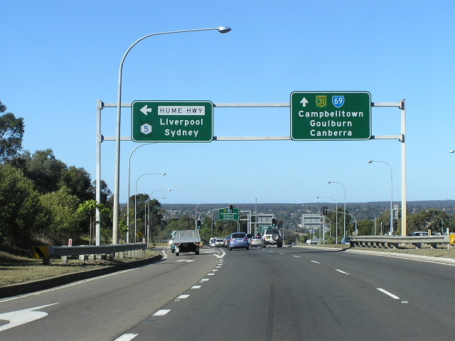 |
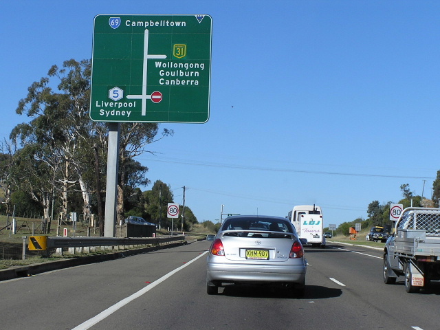
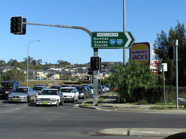
Overhead signage southeastbound on Narellan Rd at the Hume Highway junction, Campbelltown. This is the terminus of four routes - SR69 (south section), NH31, Metroad 5 and Metroad 9! June 2006. |
 |
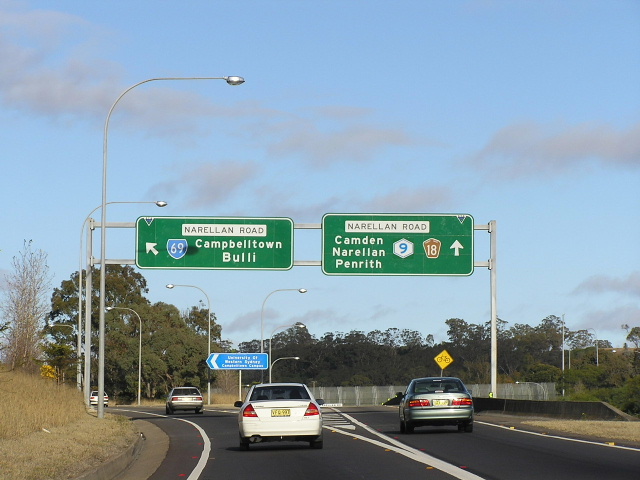
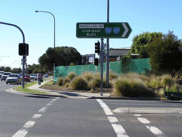
Looking northwest on Narellan Rd as SR69 becomes Metroad 9 at the Hume Highway interchange. July 2004. |
 |
Overhead signage on the southbound offramp from Hume Highway to Narellan Rd. June 2006. |
 |
AD sign northwestbound on Narellan Rd approaching the Hume Highway. Note the SR69 shield straight - it should have been changed to Metroad 9 in 1998. June 2006. |
 |
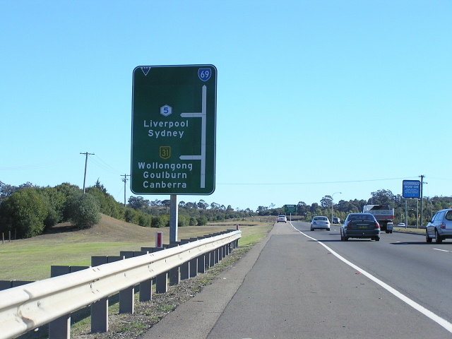
Distance sign heading southeast from Hume Highway on Narellan Rd. June 2006. |
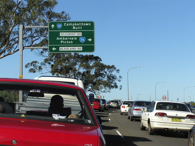 |
AD sign eastbound on Narellan Rd approaching Gilchrist Dr/Blaxland Rd. Note this is the beginning of the SR56/69 duplex, but there is no mention of SR56 straight. June 2006. |
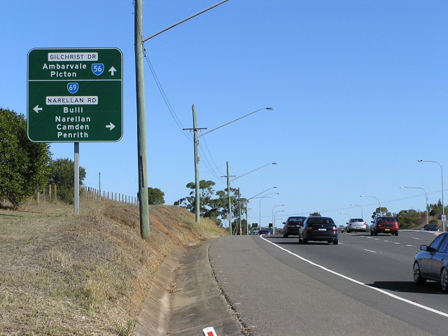 |
AD sign southbound on Blaxland Rd approaching Narellan Rd. Again note no mention of SR56 left. June 2006. |
 |
AD sign northbound on Gilchirst Drive approaching Narellan Rd at Campbelltown. Aug 2005. |
 |
Looking east along Narellan Rd from Blaxland Rd/Gilchrist Dr. The pavement on the left is a remnant of the former route of SR56/69, along Camden Rd prior to the construction of the railway overpass. June 2006. |
 |
ID sign facing southbound traffic at the intersection of Narellan Rd & Kellicar Rd, Campbelltown. June 2006. |
 |
ID sign facing northbound traffic at the intersection of Narellan Rd & Kellicar Rd, Campbelltown. June 2006. |
 |
The original route of SR69 - Camden Rd - looking west from Kellicar Rd towards the former railway level crossing. June 2006. |
 |
The original route of SR69 - Camden Rd - looking west from Moore-Oxley Bypass towards Queen St. This former four-lane road was traffic-calmed following the opening of the Narellan Rd railway overpass in 1997. June 2006. |
 |
AD sign eastbound on Camden Rd approaching Moore-Oxley Bypass at Campbelltown. This intersection was formerly the eastern split of SR56/69 duplex, and this sign dates from that time. June 2006. |
 |
Remnant SR69 shield at the Moore-Oxley Bypass/Camden Rd junction. This section of road is still SR56 - SR69 (and Appin Rd) lie about 400m to the south. June 2006. |
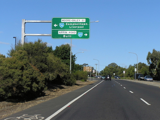 |
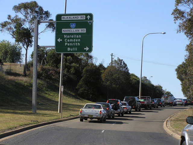
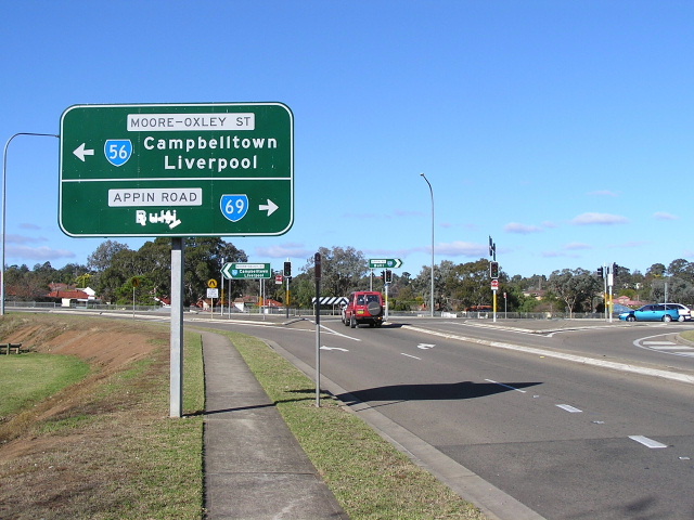
AD sign eastbound on Narellan Rd approaching Appin Rd & Moore-Oxley Bypass. This is the eastern split for the SR56/69 duplex. June 2006. |
 |
Moore-Oxley Street heading south approaching Narellan Rd & Appin Rd. June 2006. |
 |
Appin Rd northbound approaching Narellan Rd & Moore-Oxley St at Campbelltown. Dec 2004. |
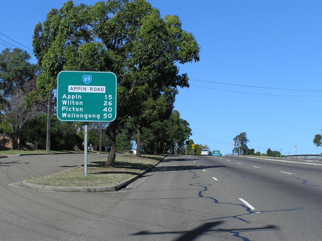 |
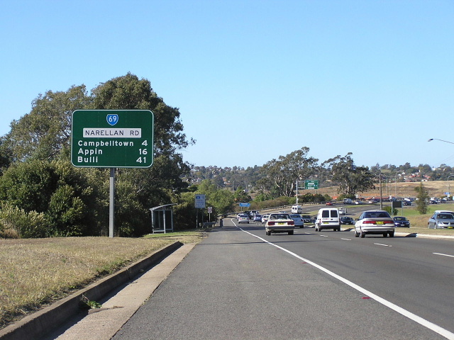
Distance sign heading south on Appin Rd at Bradbury. June 2006. |
 |
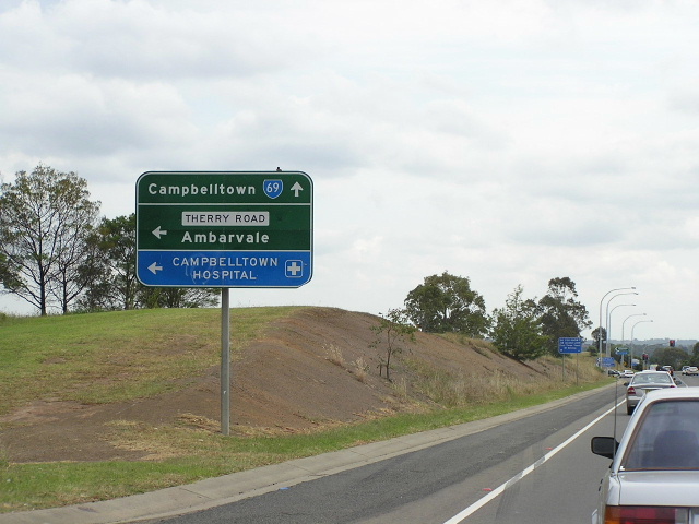
AD sign eastbound on Therry Dr approaching Appin Rd at Campbelltown. June 2006. |
 |
AD sign northbound on Appin Rd approaching Therry Dr. Dec 2004. |
 |
Appin Rd looking south at St Johns Rd, Bradbury. Dec 2004. |
 |
Appin Rd looking north from Copperfield Dr & Kellerman Dr at Rosemeadow. Dec 2004. |
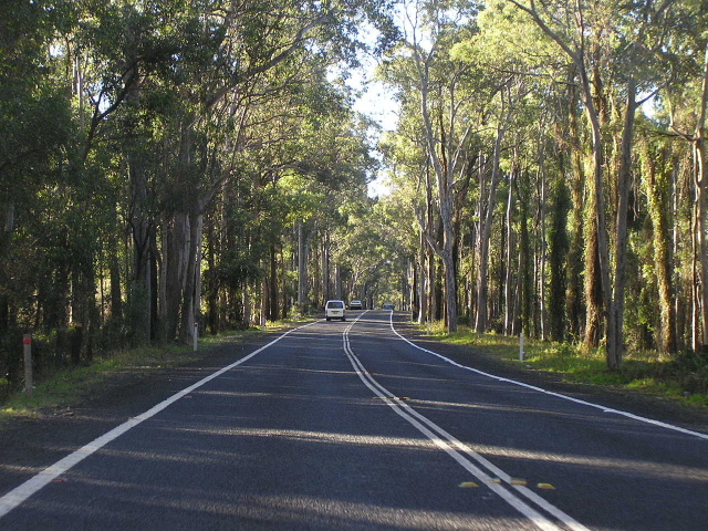 |
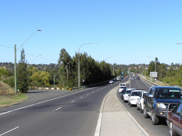
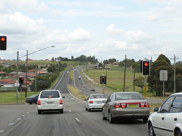
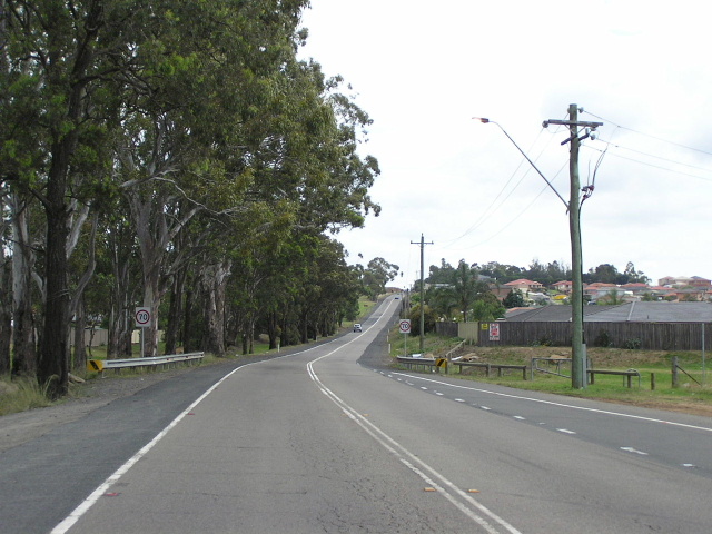
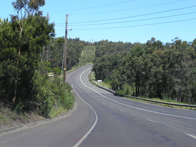
Typical northbound view of Appin Rd through a heavily forested section between Appin and Campbelltown. June 2006. |
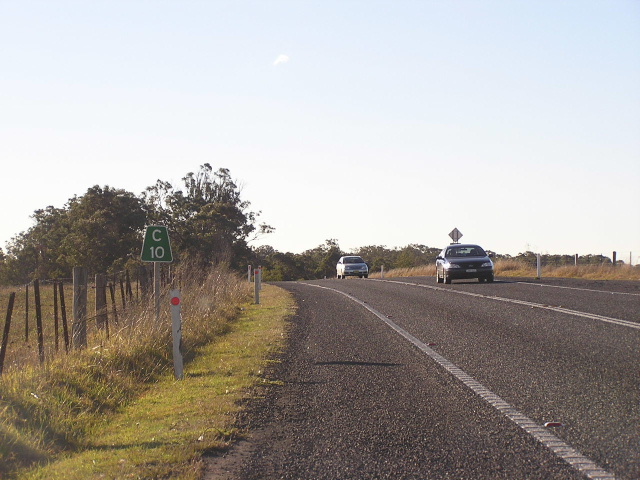 |
"C10" kilometre northbound on Appin Rd, 10km south of Campbelltown. June 2006. |
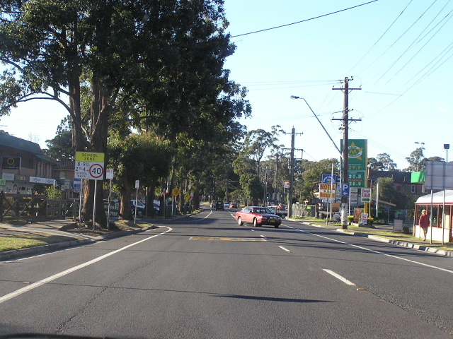 |
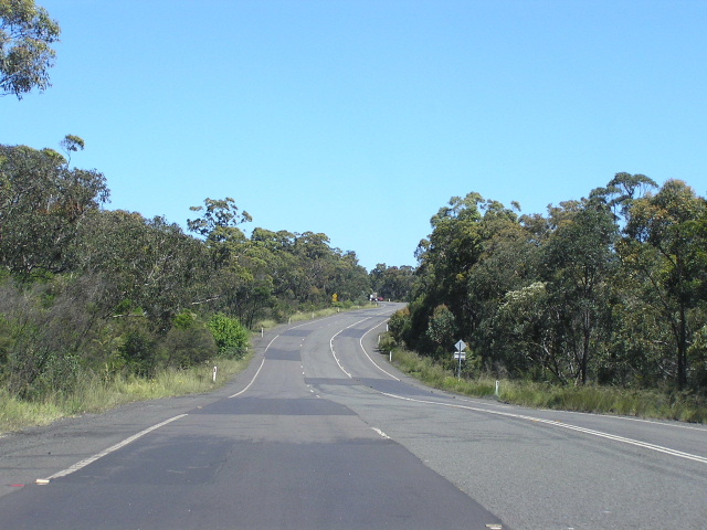
Looking north along Appin Rd through the centre of Appin. June 2006. |
 |
Appin Rd southbound approaching the junction with Wilton Rd at Appin. Dec 2005. |
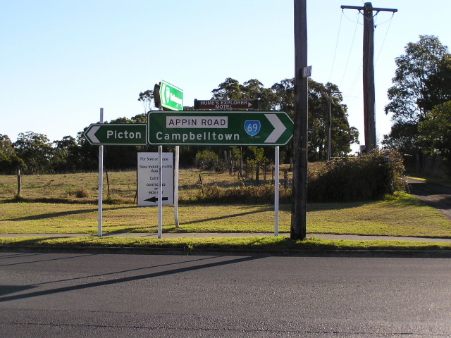 |
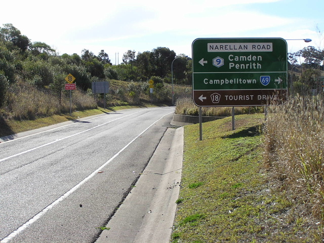
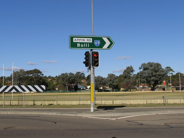
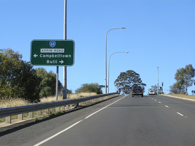
ID sign assembly at the junction of Appin Rd & Wilton Rd, Appin. June 2006. |
 |
Looking east on Appin Rd to the crossing of Georges River near Appin. Dec 2005. |
 |
Another eastbound view of Appin Rd, this time near Westcliff Colliery, showing extensive patching. Dec 2005. |
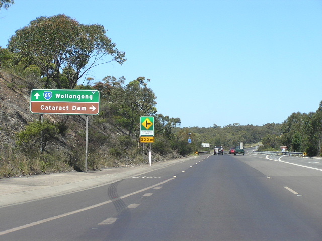 |
Eastbound approaching Baden Powell Dr (Cataract Dam turnoff). Dec 2005. |
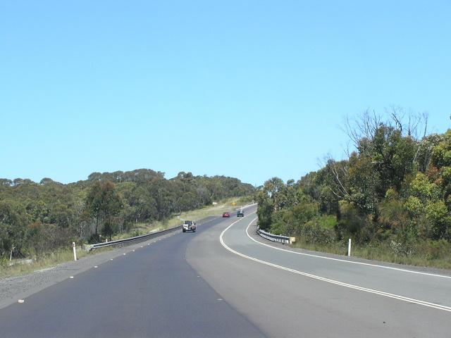 |
Looking east, east of Cataract Dam showing a mid-1980s reconstructed section and the old road alignment on the left. Dec 2005. |
Click HERE for photos of the southern terminus of State Route 69 (Bulli Tops Interchange). |
|
Last updated 10 December 2012 © Ozroads 2003-2012. |