Bulli Tops to Yallah via Princes Highway & Memorial Drive |
NOTE: This page is out of date It was prepared prior to the changes which occurred to State Route 60 during 2007-10. It will be updated in the future to reflect these changes.
In 2013, RMS will be implementing a new alpha-numeric route numbering system. For more information, visit the RMS Website. |
||
Forthcoming alpha-numeric route number: |
(Bulli Tops to North Wollongong section only) |
|
Length: 63km
Northern Terminus: Princes Hwy & Southern Freeway, Waterfall
Southern Terminus: Princes Hwy & Southern Freeway, Yallah
Route taken: Old Princes Hwy, Princes Highway
Focal Points: Sydney, Helensburgh, Bulli, Wollongong, Figtree, Unanderra, Dapto, Nowra
RTA Internal Classification: State Highway No. 1
Route Overview:
State Route 60 is the paralleling route to National Route 1 through the Wollongong urban area, following the Princes Hwy from Waterfall in the north to Yallah in the south. The route has some high standard sections, particularly the Northern Distributor.
The route was introduced in the late 1980s to replace what was then Alternative National Route 1. The change was gradual, with new signs showing SR60 installed as they were needed and by 1989 the change had been completed. Originally, the route followed the 1928 route of the Princes Hwy - with particular mention to the four-lane undivided section between North Wollongong and Corrimal. In May 1993 the route was realigned via the newly opened Northern Distributor and Bellambi Lane to bypass Fairy Meadow and Corrimal. In July 1993 the Princes Highway classification was amended to include the new route.
State Route 60 looks set to receive an alpha-numeric route marker for at least part of its length, with signage at Bulli showing large rectangular coverplates. However, north of the Bulli Tops Interchange new signage has no SR60 shield or provision for a replacement alpha-numeric route marker. I am not sure whether this means that State Route 60 has been decommissioned north of Bulli Pass or not, this page will be updated when i find out either way.
For more information on the development of this route see the Princes Highway page or the Northern Distributor page.
Notable Events:
19 Oct 1920 - "Prince's Highway" named at a ceremony at the top of Bulli Pass
8 Aug 1928 - Proclaimed State Highway No. 1
1941 - Possessive form removed from name - became "Princes Hwy"
Jun 1955 - National Route 1 signage erected (Brisbane-Adelaide)
1975 - Deviation at Brownsville and new bridge across Mullet Creek
Jul 1975 - Alternative National Route 1 replaced a re-routed NR1 between Waterfall and Kembla Grange
Dec 1976 - Dual carriageways: Fairy Creek to Smith St, Wollongong
1985 - Dual carriageways: Soudan St to Achilles St, North Wollongong
1987 - State Route 60 signage began to replace Alternative NR1 signage
Nov 2000 - Helensburgh Interchange
15 Oct 2002 - Princes Highway decommissioned between Waterfall and Bulli Tops, redeclared as Main Road No. 678 "Old Princes Hwy"
Mar 2004 - First signs began appearing that did not show SR60 north of Bulli Tops, while signs at Bulli included an alpha-numeric marker, albeit coverplated
Explore State Route 60:
Northern Terminus: Waterfall
Bulli Tops Interchange
Former Alignment of Princes Hwy: North Wollongong to Bellambi Lane
Alternative Route 1: The route that SR60 replaced
Photos of State Route 60 |
|
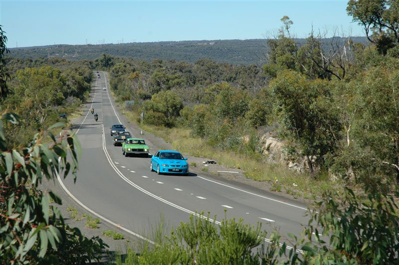 |
Old Princes Highway, looking south near Waterfall. Source: Derek Rogers, February 2006. |
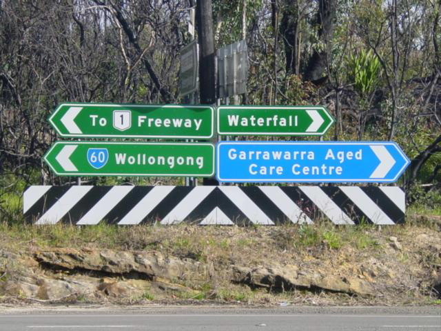 |
ID signs at the intersection of Princes Hwy & Parkes St, Helensburgh. Note the lack of a SR60 shield for right. Nov 2004. |
 |
2000 installation on the southbound offramp at Helensburgh Interchange. Note how the signing of SR60 and its focal points compares to newer or older signs. Jul 2004. |
 |
New (late 2003) ID sign at the Helensburgh Interchange. Note the lack of a SR60 shield and the focal points of "Darkes Forest/Bulli Tops" have been replaced with "Bulli". Also note the NR1 shield on a coverplate over an alpha-numeric marker. Jul 2004. |
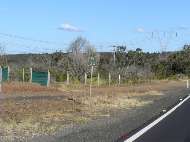 |
1970s kilometre post on Princes Highway at Darkes Forest. Jul 2004. |
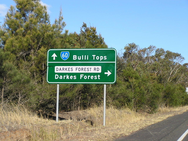 |
Southbound AD sign at Darkes Forest Rd. Jul 2004. |
 |
Section of the original two-way highway which became one-way during construction of the Bulli Tops Interchange in 1970-75. Jul 2004. |
1950 photo of Bulli Pass. (DMR) |
|
 |
Heading northbound on one of the better sections of Bulli Pass. Feb 2006. |
 |
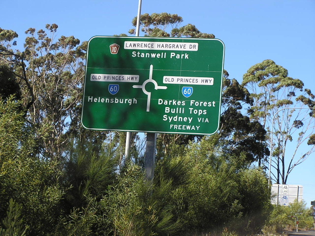
Signage at the intersection of Princes Hwy & Lawrence Hargrave Dr in Bulli, showing a SR60 coverplate over an alpha-numeric marker. Jul 2004. |
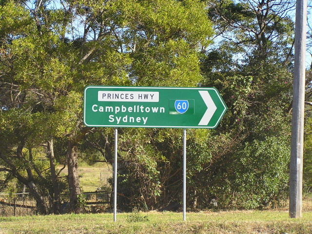 |
More signage showing coverplated alpha-numeric marker. Jul 2004. |
 |
The old signage that was replaced after the closure of Lawrence Hargrave Drive. Feb 2004. |
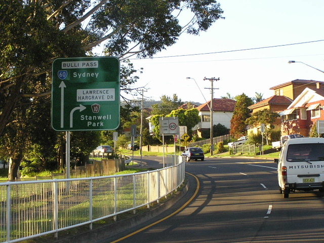 |
Northbound AD sign on Princes Hwy approaching Lawrence Hargrave Dr at Bulli. Noteh the use of "Bulli Pass" instead of Princes Highway as the route name - quite unusual. Feb 2006. |
 |
More of the same. Feb 2004. |
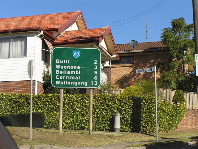 |
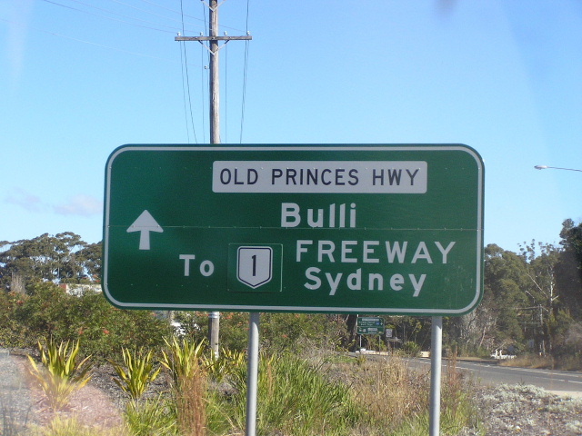
RD sign heading south into Bulli. Jul 2004. |
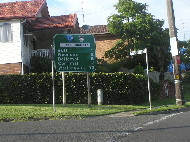 |
New RD sign with SR60 on a coverplate over an alpha-numeric route marker heading south from Lawrence Hargrave Dr. Feb 2006. |
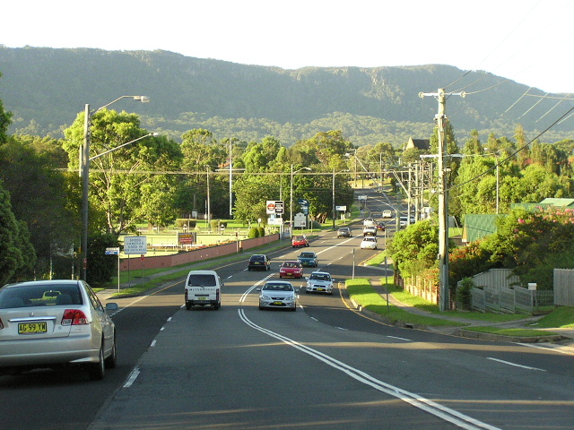 |
Looking north through Bulli with the Illawarra Escarpment forming an impressive backdrop. Feb 2006. |
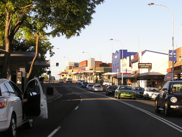 |
Looking north through the commercial centre of Woonoona towards Russell St. Feb 2006. |
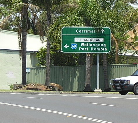 |
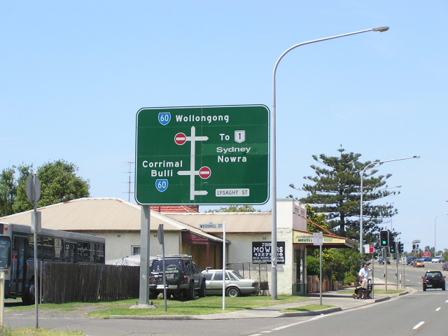
The AD sign telling motorists that SR60 turns left onto Bellambi Lane which, as of 1 July 1993, is now the Princes Highway. Nov 2004. |
 |
The temporary northern end of Wollongong's Northern Distributor at Bellambi Lane. Nov 2004. |
 |
Heading south on the Northern Distributor from Bellambi Lane. Nov 2004. |
 |
Looking north at Railway Street. Nov 2004. |
 |
Older style ID signage with a separate name plate at Towradgi Rd. Nov 2004. |
 |
The AD sign marking the interchange where Princes Hwy and SR60 leave the Northern Distributor at North Wollongong. Nov 2004. |
 |
The northbound RD sign on the Northern Distributor. Nov 2004. |
 |
Old Princes Highway southbound at the North Wollongong interchange. Nov 2004. |
 |
Diagrammatic freeway AD sign northbound on the Northern Distributor approaching its junction with Princes Hwy & Old Princes Hwy at North Wollongong. Feb 2006. |
 |
Looking south through North Wollongong. Nov 2004. |
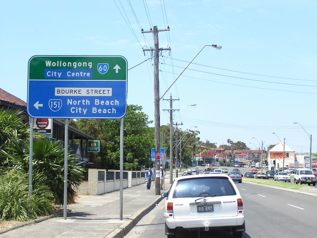 |
Southbound AD sign signalling the start of SR151 at North Wollongong. Nov 2004. |
 |
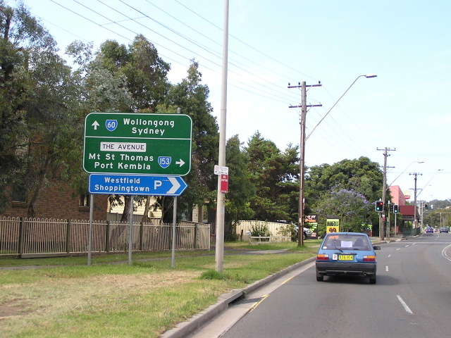
Southbound AD sign at the start of SR153 at Figtree. Nov 2004. |
 |
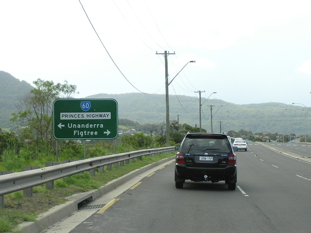
Northbound AD sign at The Avenue, Figtree. Jul 2004. |
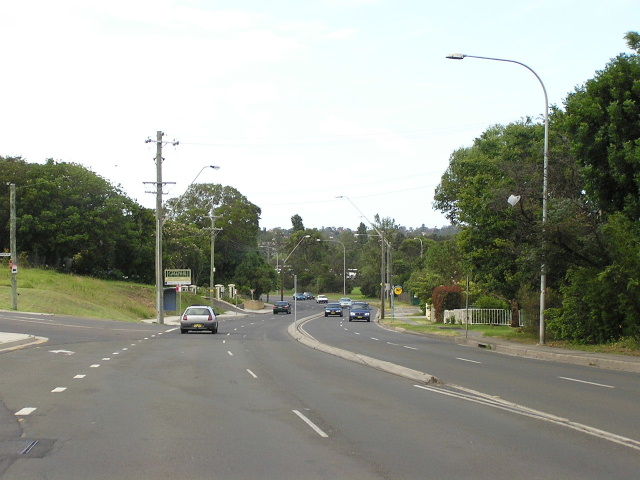 |
Looking north near Cobblers Hill. Jul 2004. |
 |
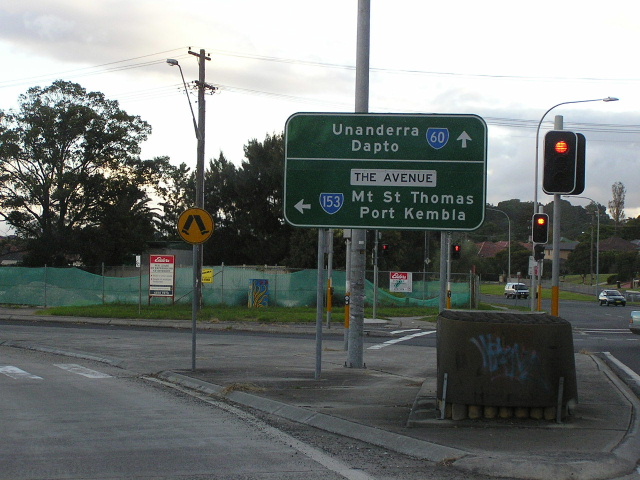
Approaching SR60 from Five Islands Rd, Unanderra. Nov 2004. |
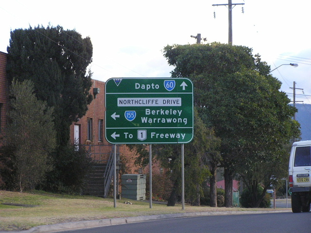 |
Southbound AD sign at Northcliffe Drive. Nov 2004. |
 |
Looking south through Kembla Grange. Nov 2004. |
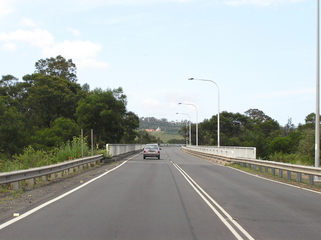 |
The bridge across Mullet Creek constructed in 1975. Nov 2004. |
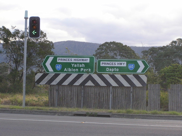 |
ID signs with unusual focal points at Fowlers Rd, Dapto. Nov 2004. |
Last updated 10 December 2012 © Ozroads 2003-2012. |