State Route 44 Great Western Highway |
Gt Western Hwy looking west at the Prospect Highway interchange, Prospect. May 2005.
In 2013, RMS will be implementing a new alpha-numeric route numbering system. For more information, visit the RMS Website. |
|
Forthcoming alpha-numeric route number: |
|
Length: 43km
Eastern Terminus: Gt Western Hwy & Western Motorway, North Strathfield
Western Terminus: Western Motorway & Russell St, Emu Plains
Route taken: Gt Western Hwy, Russell St
Focal Points: Sydney, Flemington, Auburn, Granville, Parramatta, Wentworthville, Prospect, Eastern Creek, Mt Druitt, St Marys, Penrith, Emu Plains, Blue Mtns
RTA Internal Classification: State Highway No. 5 (Russell St was gazetted part of S.H. No. 5 following the completion of the M4 Extension to Lapstone but has kept its 'Russell St' name.)
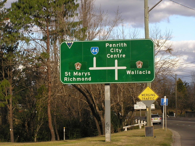
State Route 44 is the parelleling route to Metroad 4, following the route of the original through route from Sydney to the west - the Great Western Highway. It was introduced in 1974, at the dawn of the State Route system, and stretched along the Gt Western Hwy from Russell St, Emu Plains to the Western Freeway near Reservoir Rd, Prospect. In December 1982 the route was extended east from Propsect, through Parramatta and Auburn to the temporary end of the freeway at Concord Rd, North Strathfield. This created two duplexes with NR32 - between Prospect and Mays Hill and through Granville. These duplexes were removed when subsequent sections of freeway were opened to traffic. In January 1993 SR44 was moved onto a new route through Penrith City Centre via Henry St, North St, Belmore St and Jane St - replacing the original route of High Street. In June 1993 SR44 was extended south along Russell Street to meet the Western Motorway upon opening of the extension to Lapstone.
From end to end the route takes the form of almost any guise possible, from two-lane two-way road near Penrith Station to six-lane divided highway through Pendle Hill to 1920's concrete four-lane road at Granville and Auburn. Improvements to the route have been numerous of the years and more information on these can be found on the Great Western Highway page.
National Route 32 - the route that SR44 replaced
 |
Gt Western Hwy westbound approaching the beginning of the Western Motorway and SR44 at North Strathfield. June 2004. |
 |
Westbound approaching Concord Rd/Leicester Ave at North Strathfield. Sep 2003. |
Leicester Ave northbound approaching SR44. 1996. |
|
 |
Heading west from Concord Rd/Leciester Ave. June 2004. |
 |
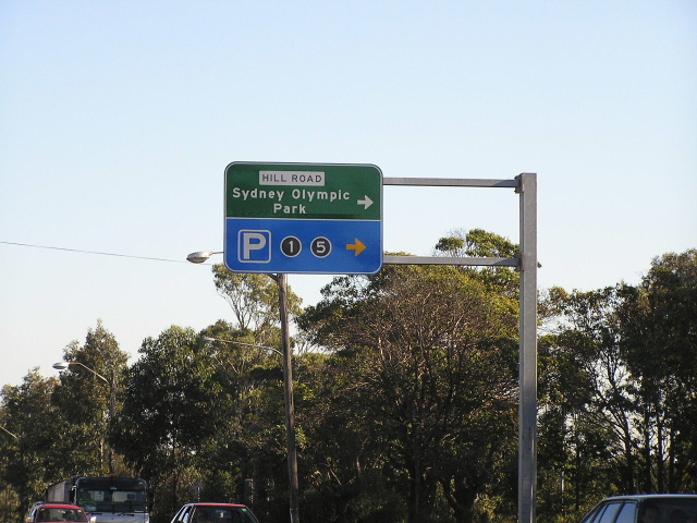
Old signage westbound at Underwood Rd for what is now Sydney Olympic Park. Dec 1996. |
 |
Looking east through Flemington. This must be the only place I have ever seen a six-lane undivided road. May 2005. |
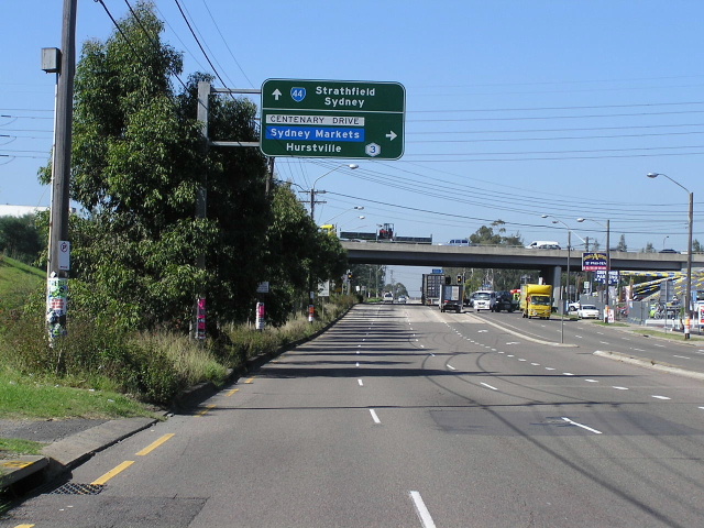 |
Looking east towards th Centenary Drive overpass at Flemington. May 2005. |
 |
Signage for Birnie Ave westbound at Lidcombe. May 2005. |
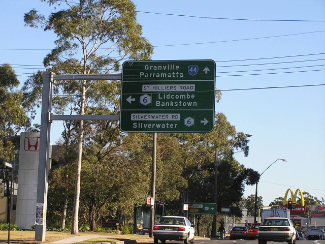 |
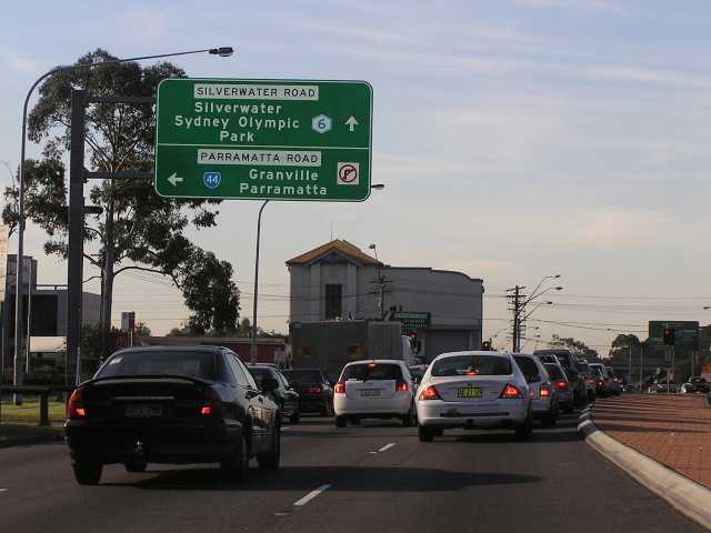
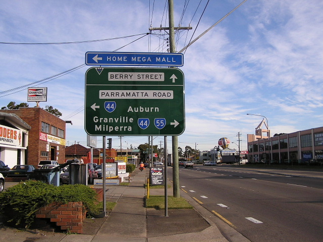
Westbound approaching Metroad 6 at Auburn. June 2004. |
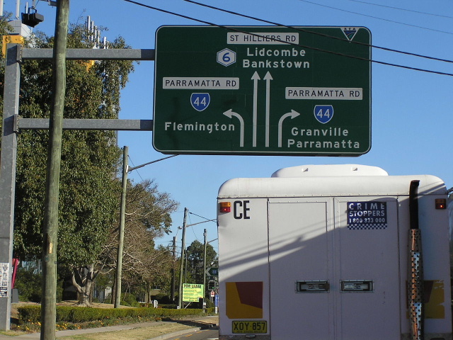 |
Metroad 6 southbound approaching SR44 at Auburn. July 2004. |
 |
Metroad 6 northbound approaching SR44 at Auburn. June 2005. |
 |
1980s ID sign for SR44 in Station Rd, Auburn. Jan 2004. |
 |
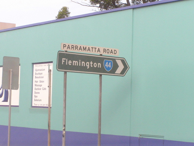
Eastbound AD sign on Parramatta Rd for Rawson St. Note that Homebush Bay has since been coverplated with 'Flemington' in mid-2005. Jan 2004. |
 |
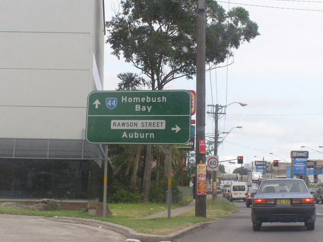
RD sign eastbound from Wentworth Street, Granville, near the Duck River crossing. Again, Homebush Bay has since been coverplated with Flemington. July 2004. |
 |
AD sign on James Ruse Drive approaching Parramatta Rd at Granville. July 2004. |
 |
Parramatta Rd eastbound at the level crossing next to Marsh Street, Granville. July 2004. |
 |
Parramatta Rd eastbound approaching Good St, Granville. July 2004. |
 |
Woodville Rd northbound approaching SR44 at Granville. July 2004. |
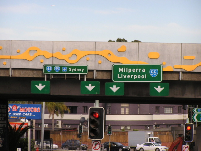 |
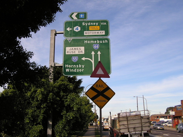
Overhead signage on SR44 southbound at the M4 overpass. July 2004. |
 |
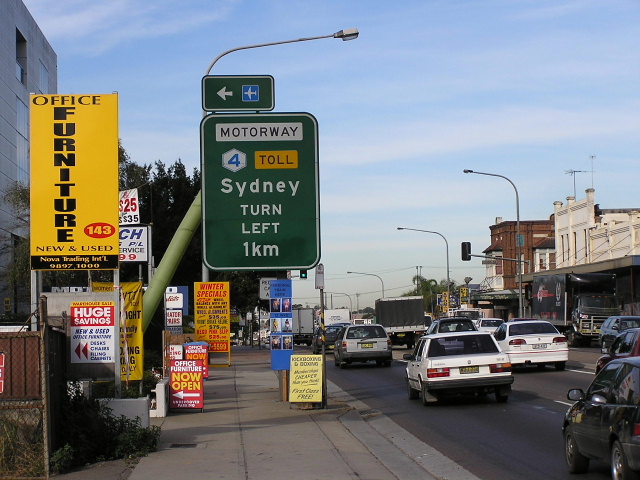
ID sign facing traffic from the eastbound M4 off-ramp at Granville. July 2004. |
 |
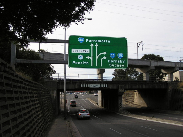
M4 eastbound offramp signage for SR44 installed in early 2004. Note that this sign is erroneous, SR55 does not go left. July 2004. |
 |
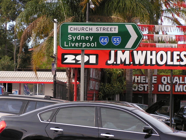
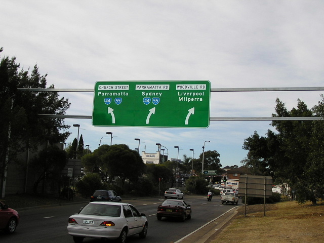
Gt Western Hwy northbound approaching the Church St/Parkes St intersection in Parramatta. July 2004. |
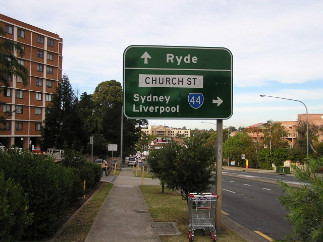 |
Gt Western Hwy eastbound approaching the above intersection. Note that this intersection marks the spot where signposting of the local names begins on the Gt Western Hwy. July 2004. |
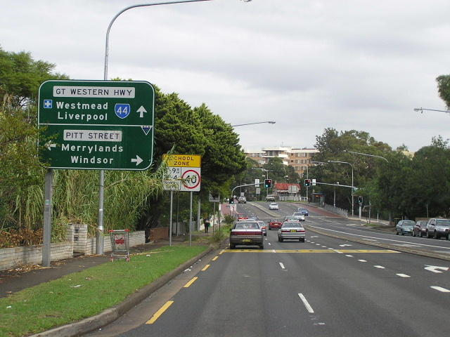 |
Looking west approaching Pitt Street, Parramatta. May 2005. |
1980s ID sign at the corner of Gt Western Hwy & Pitt St, Parramatta. Note the National Route 32 trailblazer in the background. 1994. |
|
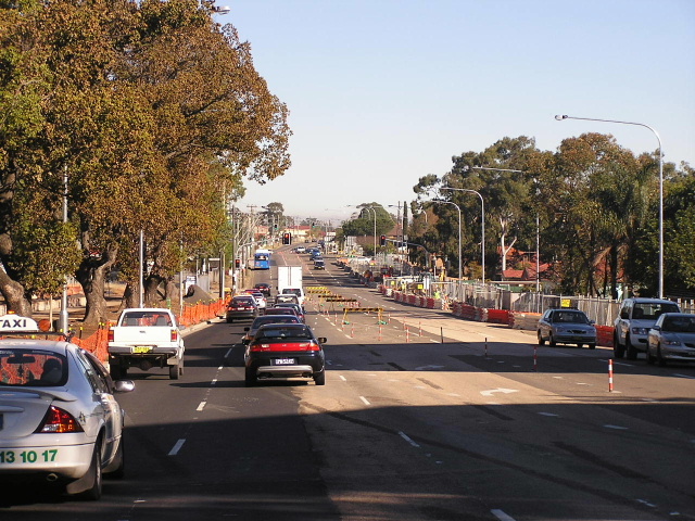 |
Looking west from Pitt St, showing roadworks to create 24hr bus lanes as part of the Liverpool-Parramatta Transitway project. Sep 2004. |
 |
Looking west from Burnett St, Mays Hill, showing completed bus lanes. May 2005. |
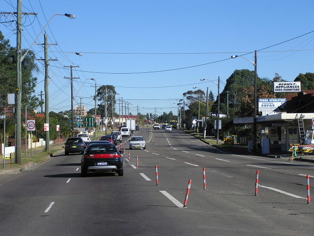 |
Looking west near Patricia St, Mays Hill, showing the tidal flow system that was in operation until the construction of 24hr bus lanes in late 2004. June 2004. |
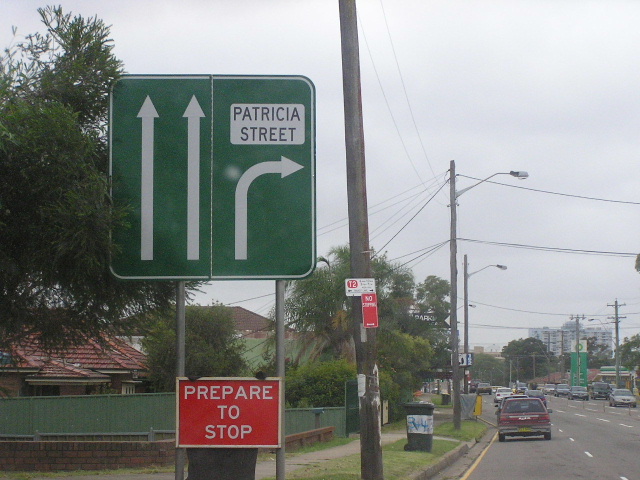 |
Sample of signage associated with the tidal flow system. Eastbound approaching Patricia St - the western extremity fo the todal flow system. Jan 2004. |
 |
Westbound AD for the M4 on-ramp at Wentworthville. May 2005. |
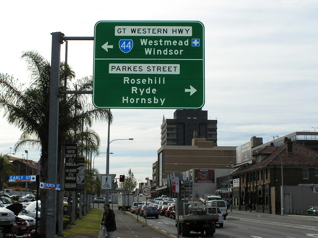
ID signage at the Hawkesbury Rd/Coleman St intersection at Westmead. May 2005. |
|
 |
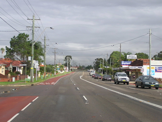
Cumberland Hwy northbound approaching the Gt Western Hwy at Wentworthville. March 2005. |
 |
Looking west from Cumberland Highway. May 2005. |
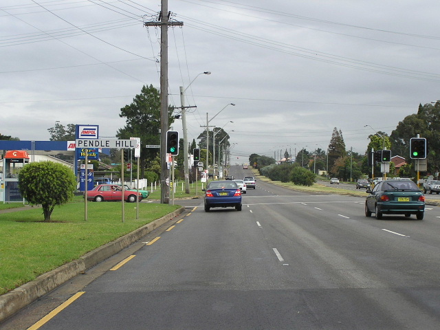 |
Looking west to Jones St at Pendle Hill. May 2005. |
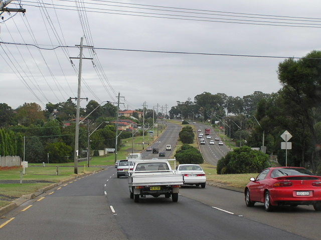 |
Looking west through Pendle Hill and Greystanes. Note the extremely wide road reservation, permitting widening to eight lanes. May 2005. |
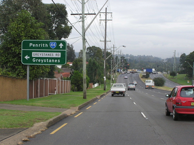 |
Looking west to Greystanes Road. May 2005. |
 |
Looking west at Toongabbie Road. May 2005. |
 |
ID sign assembly facing Toongabbie Road traffic at its intersection with Great Western Highway, Toongabbie. Source: Ty Vujasinovic, November 2008. |
Aerial view of construction of the Prospect Deviation (old highway alignment: Tarlington Place, Reservoir Rd, Yallock Pl, Boiler Cl, Honeman Cl) in 1967. (DMR). |
|
 |
Looking east along Old Great Western Highway (Reservoir Rd), east of Prospect Highway. May 2005. |
 |
Old Great Western Hwy (Reservoir Rd) looking west from the Prospect Reservoir entrance. May 2005. |
 |
Old Great Western Hwy (Yallock Place) looking north-west. May 2005. |
 |
Old Great Western Hwy (Boiler Cl) looking north-west. May 2005. |
 |
Old Great Western Hwy (Honeman Close) looking north-west. Note the yellow lines and broken white edge lines, something that was very common prior to the 1960s on NSW roads. May 2005. |
 |
Another view of Honeman Close. You can see in the distance where it rejoined the current highway alignment. May 2005. |
 |
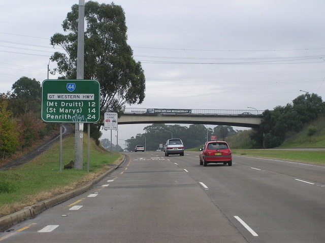
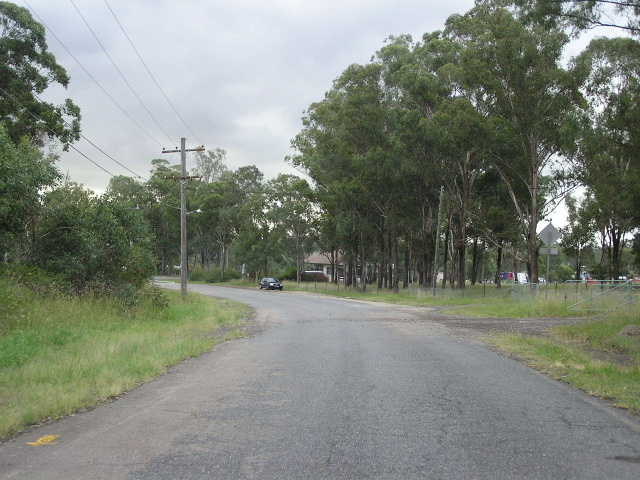
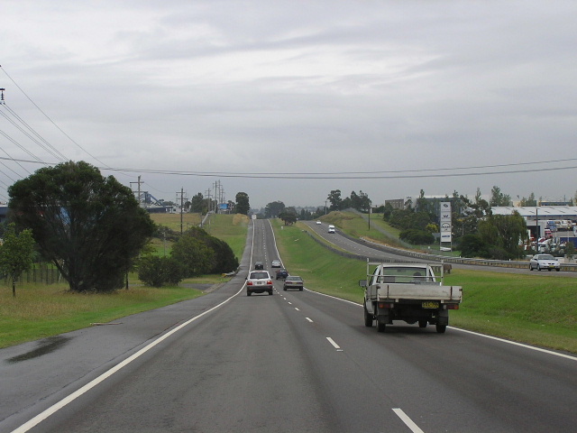
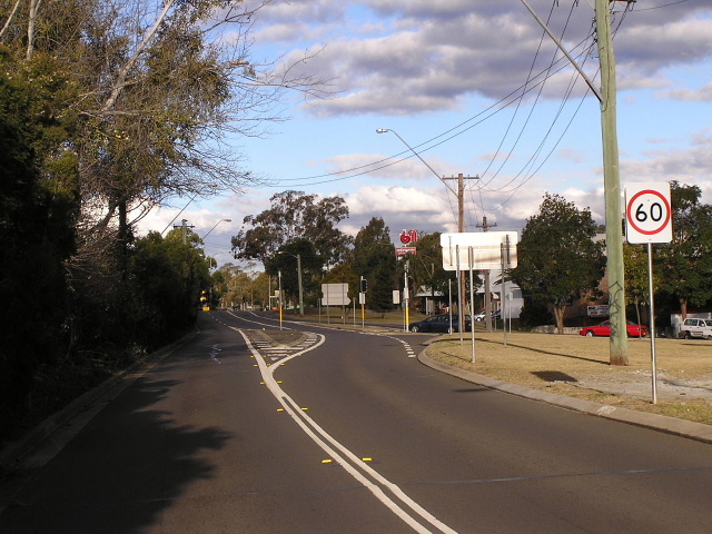
Gt Western Hwy looking west at the Prospect Hwy interchange. May 2005. |
Photo of the newly-opened Prospect Deviation in 1969. Note there was initially no interchange at Prospect Hwy (then Church Lane). (DMR). |
|
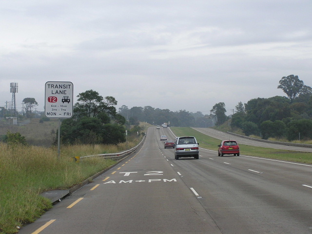 |
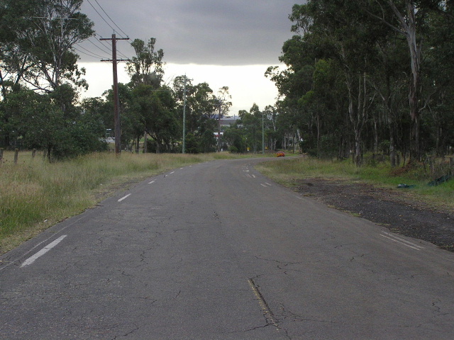
Looking west along the Prospect Deviation near Blacktown Creek. Note the T2 Lane for both the Am and PM peaks. May 2005. |
 |
RD sign eastbound from Reservoir Rd. Jan 2004. |
 |
Looking east towards Reservoir Road. May 2004. |
 |
Looking west from Reservoir Rd towards Huntingwood Dr (top of hill). Note the old 'K70' kilometre plate in the background. May 2005. |
 |
Looking west towards Doonside Rd. May 2005. |
 |
Looking east at Doonside Rd. Oct 2005. |
 |
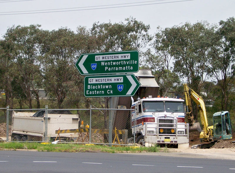
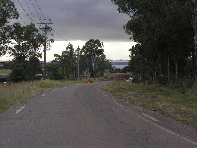
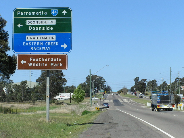
Looking west towards the M7 at Eastern Creek. May 2005. |
 |
Westbound AD sign for the Philip Parkway. May 2005. |
 |
Philip Parkway southbound approaching the Gt Western Hwy. Note that SR61 does not go left, only right. Feb 2005. |
 |
Eastbound RD sign from the Philip Parkway at Eastern Creek. Feb 2005. |
 |
Wallgrove Rd northbound approaching the Gt Western Hwy. May 2005. |
 |
Looking west to Wallgrove Rd. May 2004. |
 |
Looking east towards Wallgrove Rd. Feb 2005. |
 |
Westbound RD sign from Wallgrove Rd. Feb 2005. |
 |
Looking west through Minchinbury. Feb 2005. |
 |
Looking east towards Minchinbury St. Feb 2005. |
 |
Heading east from Carlisle Ave, Minchinbury. Oct 2005. |
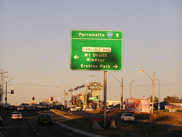 |
Eastbound AD sign for Carlisle Ave, Mt Druitt. May 2004. |
 |
Eastbound approaching Hewitt Street, Colyton. Oct 2005. |
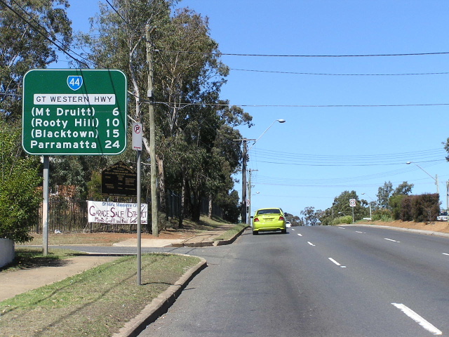 |
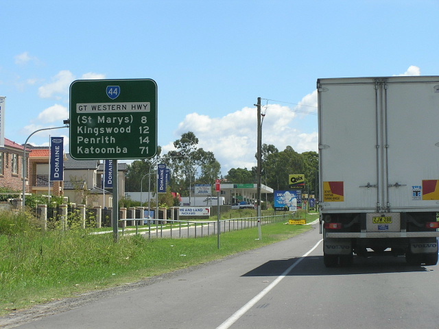
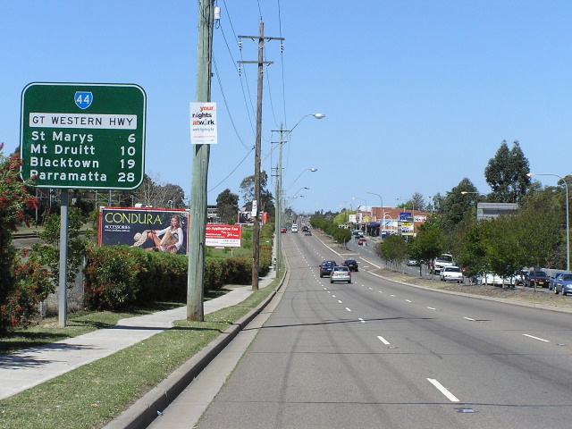
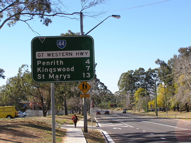
RD sign heading east from St Marys. Oct 2005. |
 |
Westbound AD sign for Mamre Rd. May 2004. |
 |
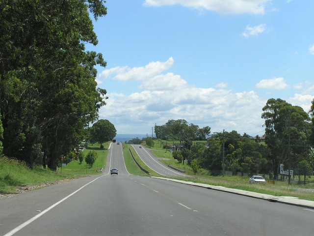
Looking west through St Marys. May 2004. |
 |
Looking west across Byrnes Creek. May 2004. |
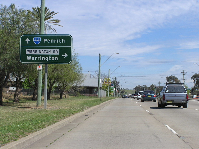 |
AD westbound for Werrington Rd at Werrington. May 2004. |
 |
Erroneous NR44 shield at the UWS entrance, Werrington. May 2004. |
 |
Looking east from UWS. May 2004. |
 |
RD sign heading west into Kingswood. June 2005. |
 |
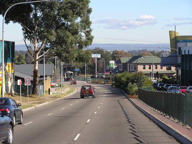
Looking east into Kingswood from Metroad 9. Oct 2005. |
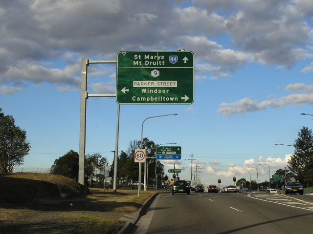 |
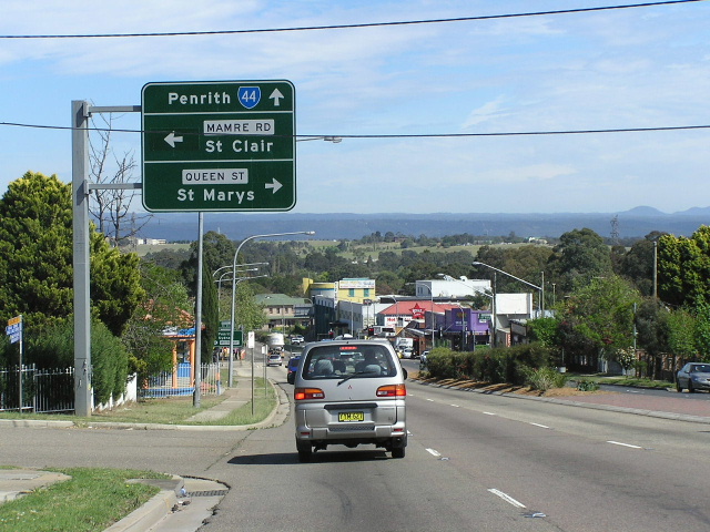
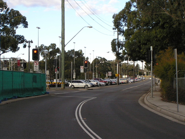
Eastbound approaching the Metroad 9 junction at Penrith. May 2004. |
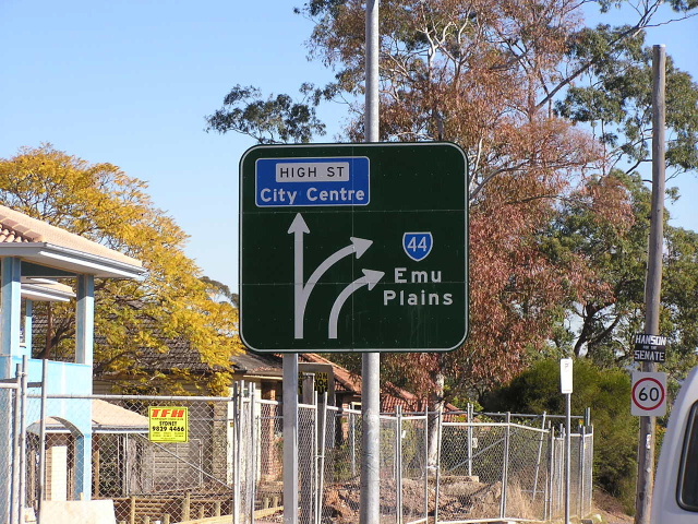 |
Gt Western Hwy westbound where the highway transitions from High St into Henry St. May 2004. |
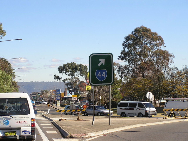 |
Rare SR44 trailblazer at the Gt Western Hwy/High St intersection, Penrith. May 2004. |
 |
Looking east along the North Street section of Great Western Hwy towards the Henry St lights. May 2004. |
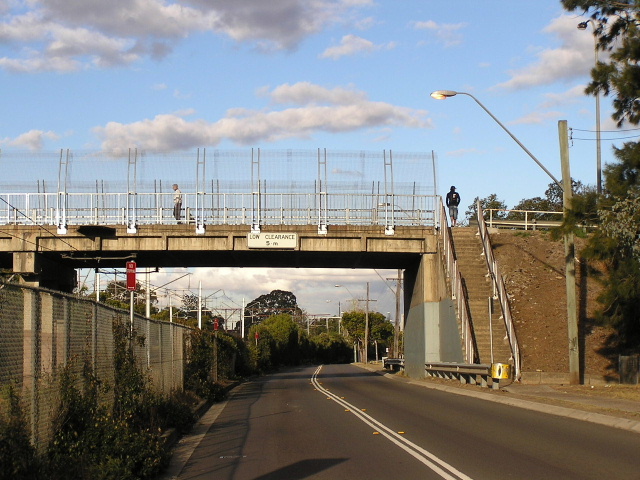 |
Looking east under the Evan St/Macquarie Ave overpass near Penrith Station. May 2004. |
 |
Looking east outside Penrith station. May 2004. |
 |
Eastbound AD sign approaching the dog-leg at Castlereagh Rd and Mulgoa Rd. May 2004. |
 |
AD sign on Castlereagh Rd southbound approaching SR44 at Penrith. May 2004. |
 |
Looking south on Castlereagh Rd beneath the railway underpass towards SR44. Note the local name of 'Jane St' is preferred to 'Great Western Hwy'. I think this is because there is some discrepency in mapping as to whether the Gt Western Hwy follows SR44 or uses Henry St. However, I can confirm, despite what UBD says, that the Gt Western Hwy does follow the route of SR44 through Penrith. May 2004. |
 |
AD eastbound approaching Mulgoa Rd & High St. May 2004. |
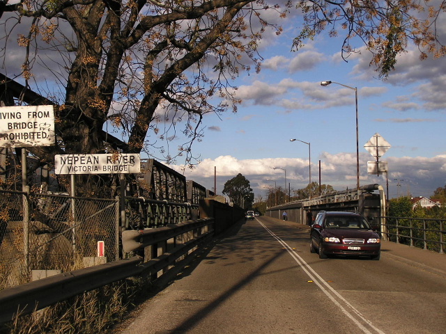 |
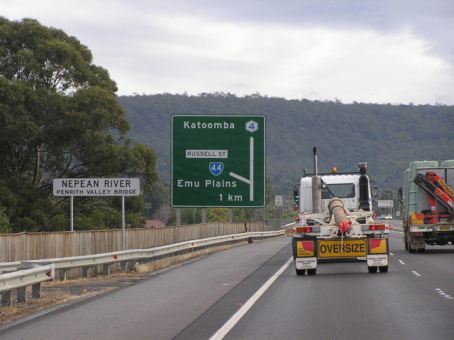
Looking east across Victoria Bridge over the Nepean River. May 2004. |
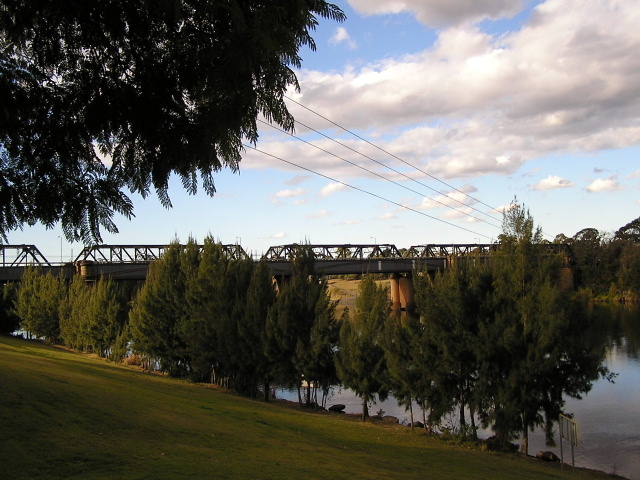 |
A view of Victoria Bridge from Punt Road, Emu Plains. May 2004. |
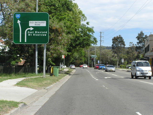 |
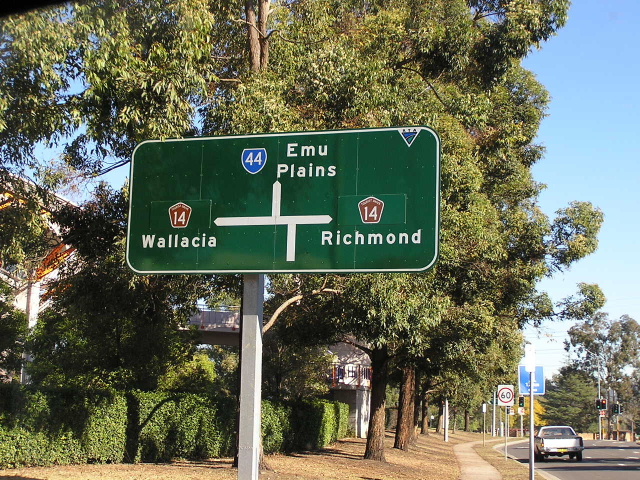
AD westbound approaching Old Bathurst Rd in Emu Plains. Note the lack of a focal point straight. The ID sign at the intersection shows 'Blue Mtns'. May 2004. |
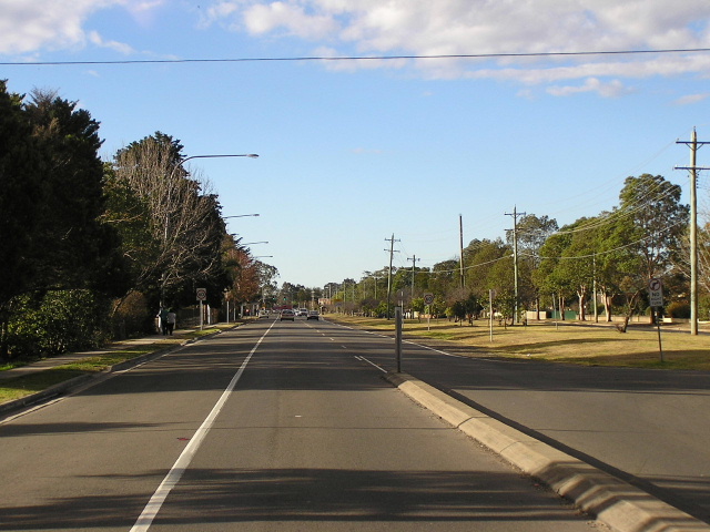 |
Looking east towards Nepean High School. Note the wide road reservation to the right. May 2004. |
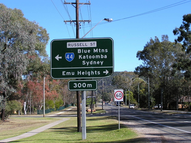 |
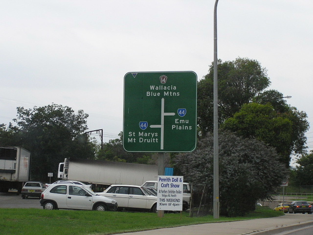
AD westbound approaching Russell St, Emu Plains. This intersection creates the unusual situation where straight ahead is a local road with the name 'Gt Western Hwy' and left is State Highway No. 5 - the Gt Western Hwy - but it retains its local name. This came about by from the M4 Lapstone Extension and the Gt Western Hwy is no longer a through road between Emu Plains and Glenbrook. May 2004. |
 |
Looking east on Gt Western Hwy outside Emu Plains shopping centre. May 2004. |
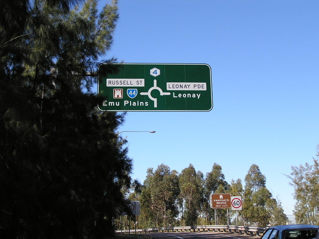 |
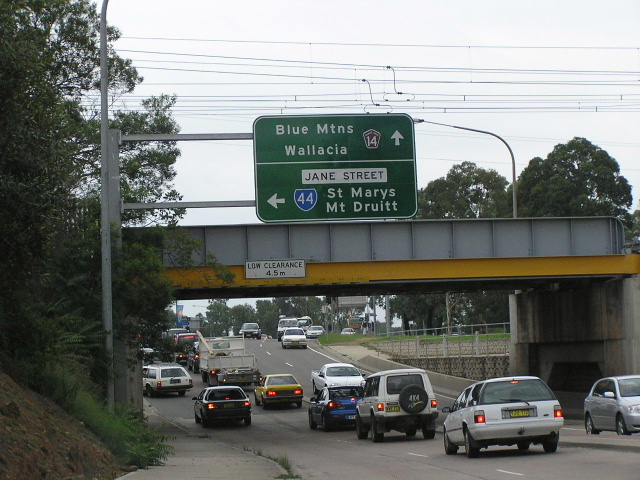
Signage for SR44 on the eastbound M4 offramp at Russell St, Emu Plains. May 2004. |
 |
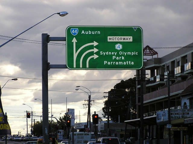
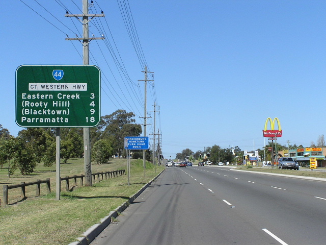
Westbound Metroad 4 signage for SR44. May 2004. |
Last updated 10 December 2012 © Ozroads 2003-2012. |