Sydney to Liverpool via Hume Highway |
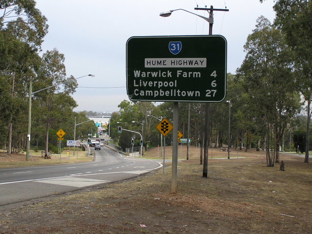
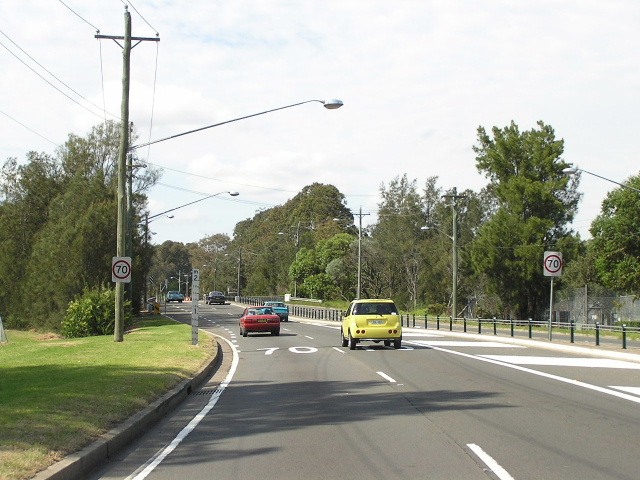
Hume Highway heading east from Governor Macquarie Drive at Waraick Farm. Sep 2005.
In 2013, RMS will be implementing a new alpha-numeric route numbering system. For more information, visit the RMS Website. |
|
Forthcoming alpha-numeric route number: |
|
Length: 31km
Eastern Terminus: Gt Western Hwy (Broadway) & Harris St, Ultimo
Western Terminus: Hume Hwy & Cumberland Hwy, Liverpool
Route taken: Gt Western Hwy (Broadway, Parramatta Rd), Hume Highway
Focal Points: Sydney, Ashfield, Bankstown, Liverpool
RTA Internal Classification: State Highway No. 5 (Gt Western Hwy), State Highway No. 2 (Hume Hwy)
State Route 31 is most of what used to be National Route 31 in Sydney, following the Hume and Gt Western Highways from Liverpool to Railway Square. It has had a rather disjointed life, first replacing National Route 31 in early 1994 between the Cumberland Highway at Liverpool and Roberts Road at Greenacre, where Metroad 5 joined the former route of NR31 for the trip to the City. In December 2001, following the re-routing of Metroad 5 onto the M5 East, SR31 was extended 14km eastward along the Hume and Great Western Highways to Harris Street, Ultimo, replicating the route that National Route 31 once took. With the opening of the Westlink M7 scheduled for April 2006 it is possible that State Route 31 may be extended to the Cross Roads at Casula, for the first time completely replicating the route that National Route 31 once took.
Much of the highway has been widened to six lanes, although a significant length of four-lane undivided road exists east of Burwood Heights. Notably, one of the oldest bridges in Australia, the bridge over Propsect Creek at Lansdowne, built by David Lennox in 1834-36, is still in service carrying two lanes of eastbound traffic.
For history and development of the route please see the history article on the Hume Highway page.
Meccano Set - Intersection with Woodville Rd & Henry Lawson Dr
National Route 31 - the route SR31 replaced
Metroad 5 - another route SR31 replaced
 |
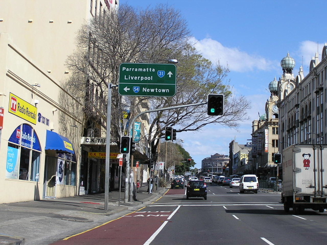
The most easterly signs recognising SR31, northbound on Abercrombie St, Chippendale. The Harris St AD sign still shows Metroad 5. April 2004. |
 |
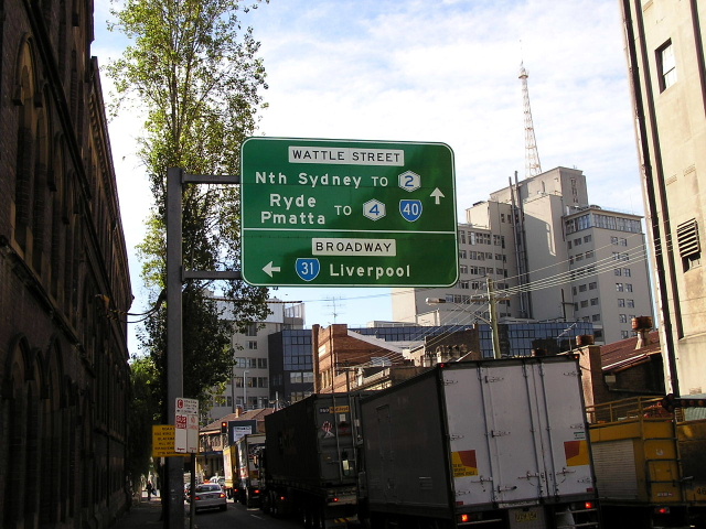
Gt Western Hwy (Broadway) looking east approaching Wattle St at Ultimo. Note that SR31 is no longer signed for eastbound traffic past City Road. June 2005. |
 |
Gt Western Hwy looking west from Wattle Street. This particular section of road was formerly George Street West and was widened to create Broadway in 1909 if i remember correctly. The project was undertaken to compliment the construction of Central Station in 1906. May 2005. |
 |
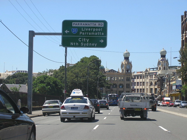
Gt Western Hwy westbound approaching the Princes Hwy (City Rd) intersection at Chippendale. May 2005. |
 |
Princes Hwy northbound approaching SR31. Note how SR31 is signed for westbound traffic only. May 2005. |
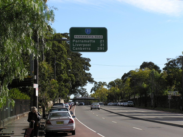 |
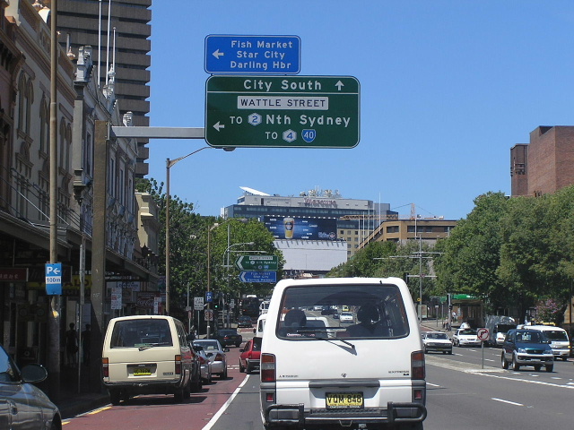
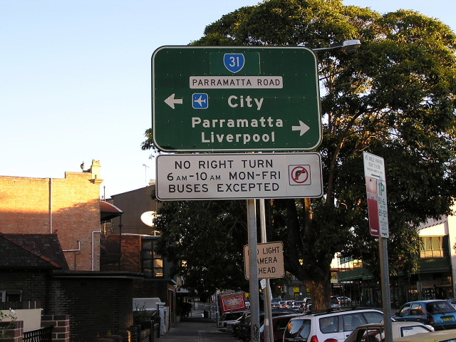
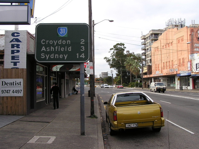
The first westbound RD sign on SR31, heading west along Gt Western Hwy (Parramatta Rd) at Sydney Uni. May 2004. |
 |
Looking west from Pyrmont Bridge Road towards Johnston Street (top of hill) at Annandale. May 2004. |
 |
AD sign for SR31 southbound on Johnston St, Annandale. Note the SR31 shield is on a coverplate over Metroads 4 & 5. May 2004. |
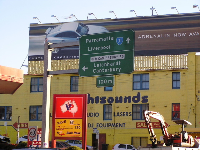 |
Cantilevered AD sign for the Old Canterbury Rd/Tebbutt St intersection at Taverners Hill. May 2004. |
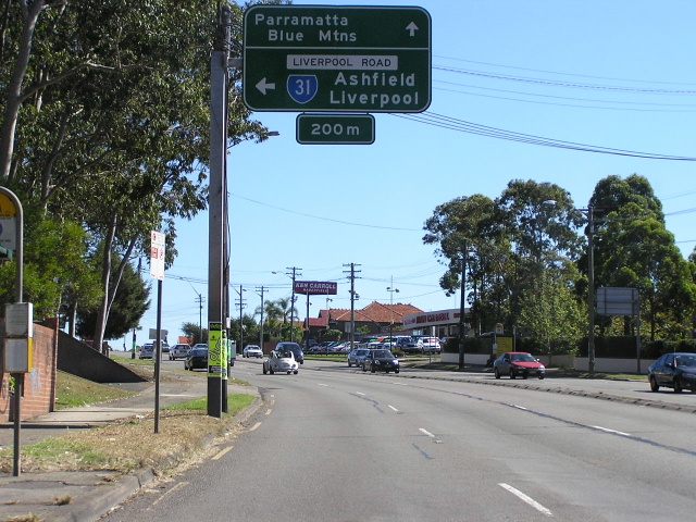 |
Gt Western Hwy westbound approaching the Hume Hwy junction at Summer Hill. This is where SR31 switches from the Gt Western Hwy to the Hume Hwy, although both highways are signposted by their local names - Parramatta Rd and Liverpool Rd. April 2006. |
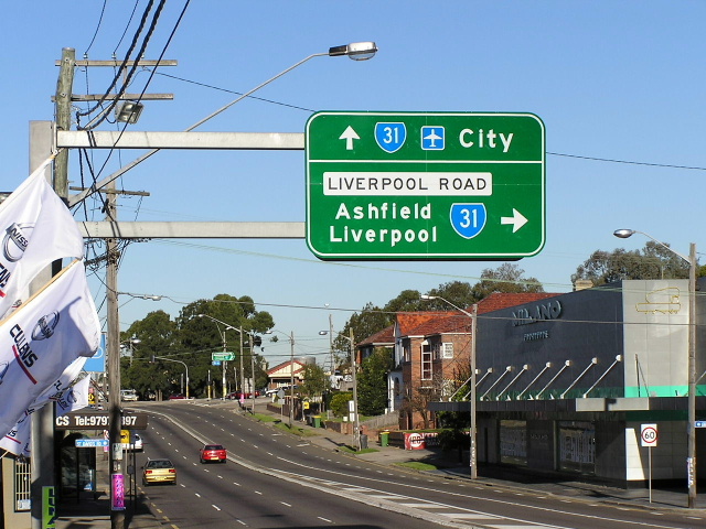 |
Gt Western Hwy eastbound approaching the Hume Hwy junction at Summer Hill. This is where SR31 switches from the Gt Western Hwy to the Hume Hwy, although both highways are signposted by their local names - Parramatta Rd and Liverpool Rd. May 2004. |
 |
Looking east along the Hume Hwy towards Gt Western Hwy at Summer Hill. May 2004. |
 |
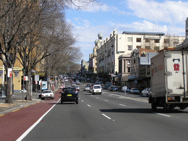
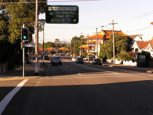
Looking east along Hume Highway through Ashfield. March 2005. |
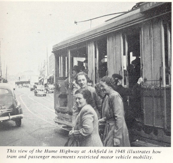 |
Hume Highway at Ashfield showing the congestion that trams caused in 1948. (DMR). |
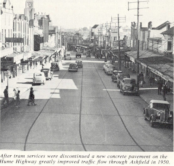 |
Similar view of the Hume Hwy showing reconstruction with cement concrete following the removal of tram tracks in 1950. (DMR) |
 |
Frederick St southbound approaching the Hume Hwy at Ashfield. May 2005. |
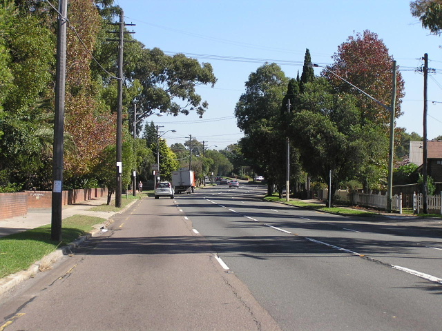 |
The still four-laned highway looking west through Croydon. May 2005. |
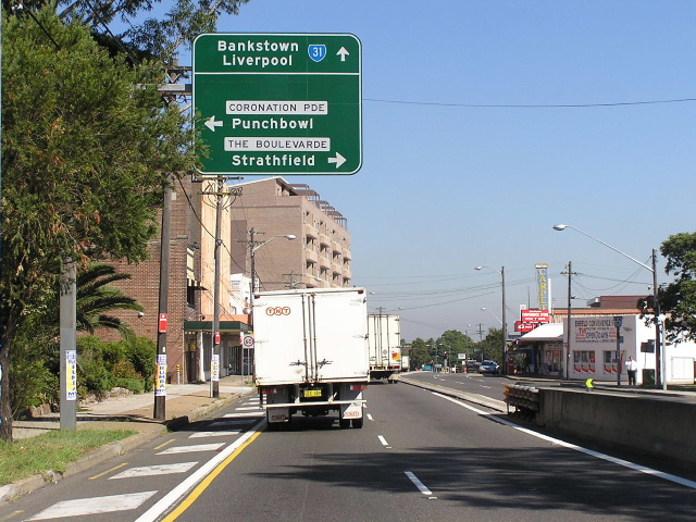 |
Looking west towards The Boulevard and Coronation Pde at Enfield. May 2005. |
 |
Very old RD sign heading east from The Boulevard and Coronation Pde at Enfield. Note that SR31 is on a coveprlate covering Metroad 5 which, in turn, is on a coverplate covering National Route 31, such is the age of this sign. June 2004. |
 |
The Boulevard (former SR27) southbound approaching the Hume Hwy at Enfield. June 2004. |
 |
Looking west from Enfield. May 2005. |
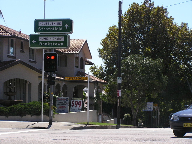 |
ID signs at Homebush Rd, Strathfield. Note the lack of a SR31 shield (tsk tsk). April 2006. |
 |
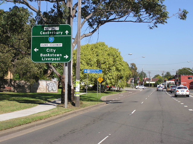
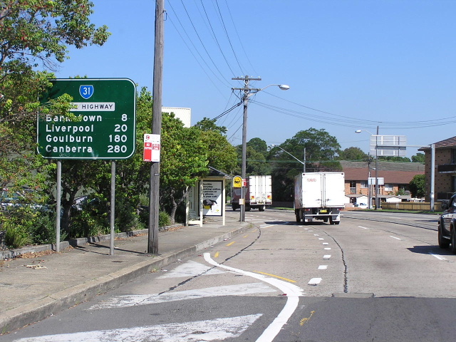
Looking east towards Cosgrove Rd at Strathfield South. Sep 2005. |
 |
Centenary Drive looking south approaching the Hume Highway. Sep 2005. |
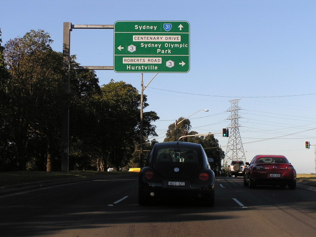 |
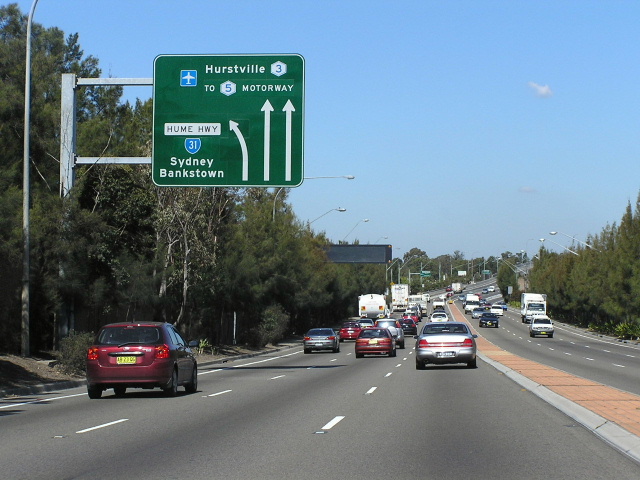
Hume Hwy eastbound approaching Centenary Dr & Roberts Rd. Aug 2005. |
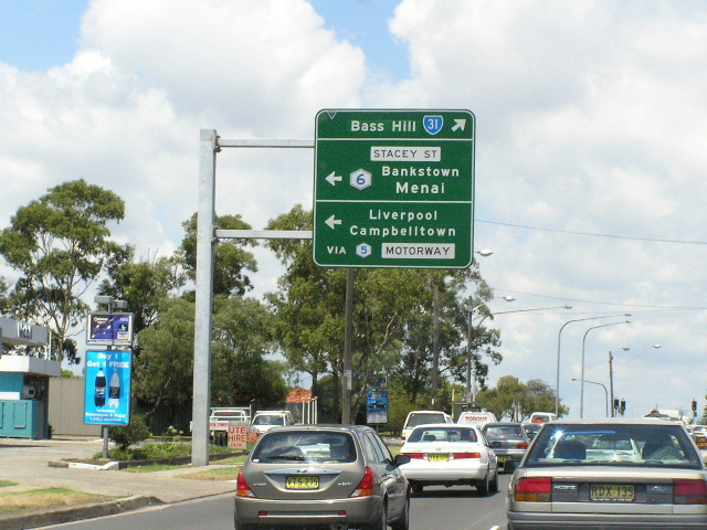 |
Hume Hwy westbound approaching Stacey St at Bankstown. Jan 2004. |
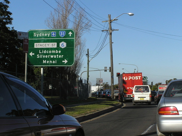 |
Hume Hwy eastbound approaching Stacey St. Aug 2005. |
 |
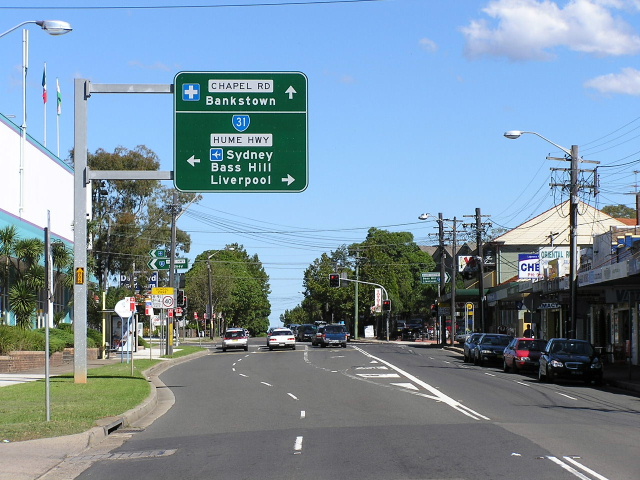
Hume Hwy heading east from Rookwood Rd, Bankstown. Aug 2005. |
 |
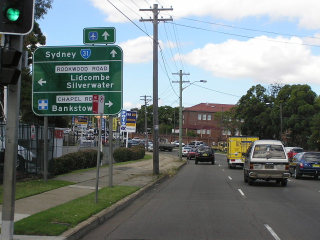
AD sign southbound on Rookwood Rd approaching Hume Hwy, Bankstown. April 2006. |
 |
Hume Hwy heading east towards Rookwood Rd. Note the blank coverplates covering State Route 45 shields. Aug 2005. |
 |
Hume Hwy heading west towards Meredith St, Bankstown. Aug 2005. |
 |
Looking east across the railway at Yagoona. June 2005. |
 |
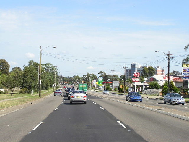
Looking west from Auburn Road showing the afternoon traffic. June 2005. |
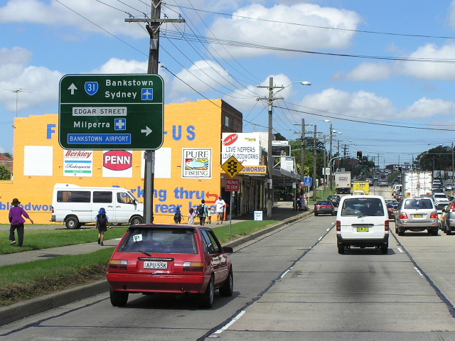 |
Eastbound AD sign for Edgar Street, Yagoona. June 2005. |
 |
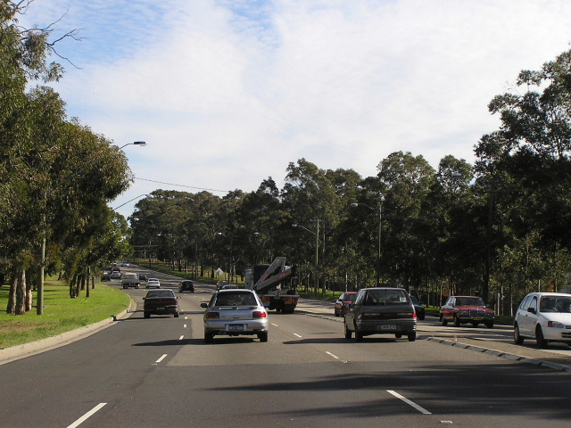
Looking west at Bass Hill. Note the wide reservation on the left of the road, acquired when this area was released for urban development in the early 1960s as part of the Rememberance Drive project. The aim was to plant lots of trees but it never eventuated on this section. June 2005. |
 |
Further section of trees planted as part of the Remembrance Drive project, west of Miller Rd. June 2005. |
 |
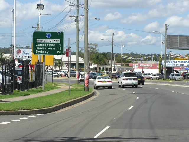
Looking west from The Horsley Drive at Lansdowne. Jan 2004. |
 |
Looking west towards Lansdowne Rd at Lansvale. June 2005. |
 |
Looking east from Cabramatta Road at Cabramatta. June 2005. |
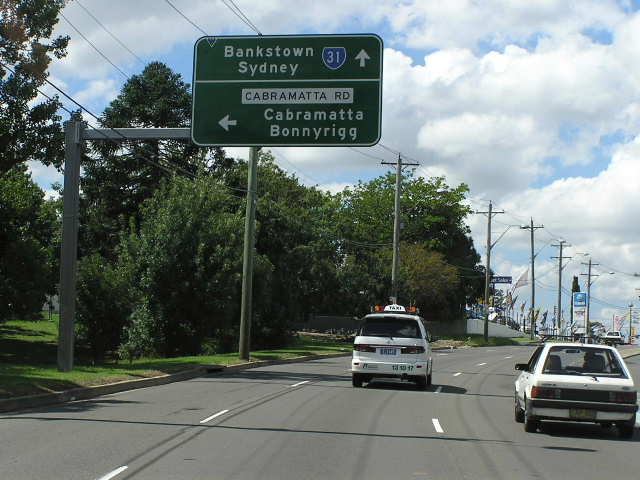 |
Eastbound approaching Cabramatta Rd. June 2005. |
 |
Looking south across Irelands Bridge at Cabramatta Creek. June 2005. |
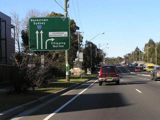 |
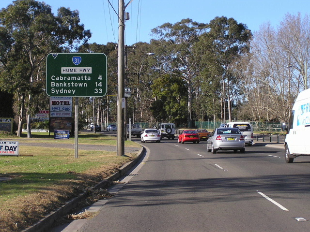
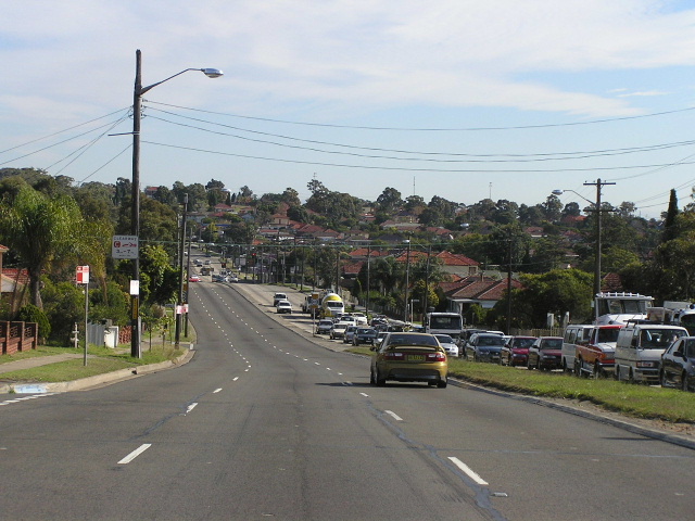
Looking east approaching Governor Macquarie Drive. The railway overpass in the background was completed in 1938 to eliminate the level crossing at Warwick Farm railway station. Aug 2005. |
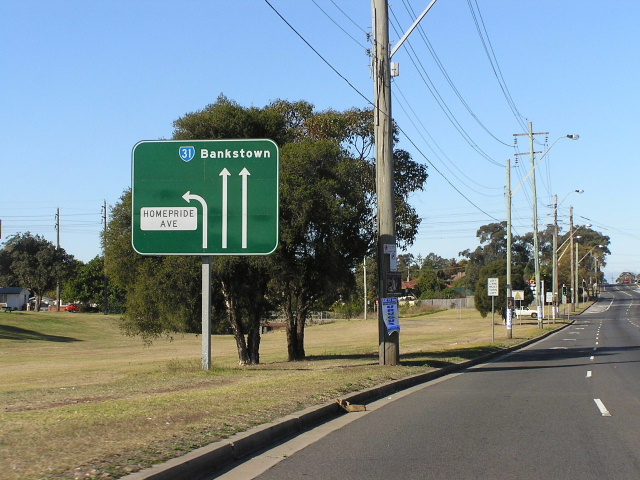 |
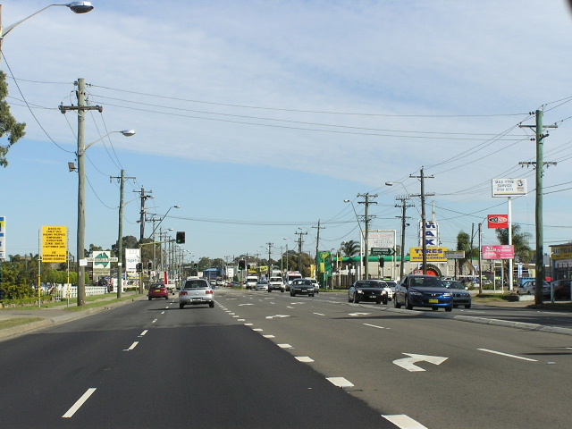
Looking east approaching Homepride Ave at Warwick Farm. Aug 2005. |
Back to NSW State Routes
Back to Hume Highway
Back to Great Western Highway