NSW STATE ROUTE 67
Decomissioned
Lifespan: 1992-98 (6 years)
Length: 13km
Northern Terminus: Gt Western Hwy & Mamre Rd & Queen St, St Marys
Southern Terminus: Elizabeth Dr & Mamre Rd, Kemps Creek
Route Names: Mamre Rd
Focal Points: St Marys, St Clair, Erskine Park, Badgerys Ck/Liverpool
RTA Internal Classification: Main Road 536
Route Overview:
State Route 67 is another short-lived western Sydney experiment, only lasting 6 years from 1992 to 1998. The route is Mamre Rd in its entirity, which is rural road in the middel of nowhere south of Erskine Park. North of Erskine Park, the road is generally 4-lane undivided with a 2-lane bridge across the M4 which is a regular peak hour bottleneck. There are no longer any remnants of SR67, but photos of the route before its decomissioning can be viewed below.
Notable events in the history of SR67:
1992 - SR67 proclaimed
1998 - SR67 decomissioned
Photos of State Route 67 |
|
 |
Westbound Elizabeth Drive approaching SR67's former southern terminus at Kemps Creek. Photo taken 1996. |
 |
Eastbound Elizabeth Drive approaching Mamre Rd. Photo taken 1996. |
 |
ID sign at Elizabeth Drive, Kemps Creek. Photo taken 1996. |
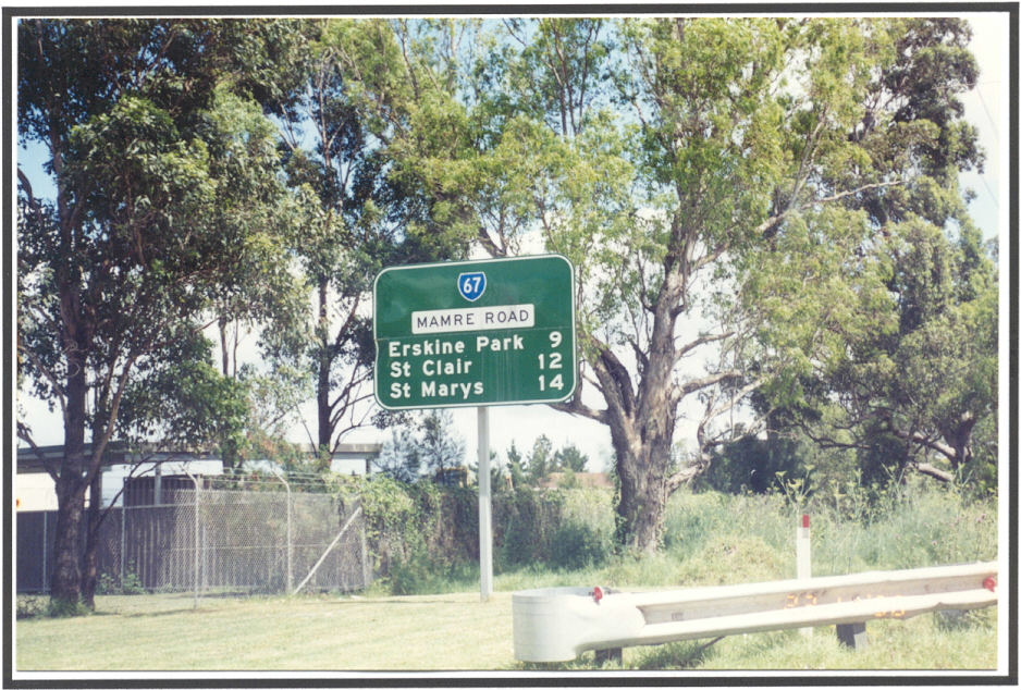 |
Distance sign north from Elizabeth Drive. Photo taken 1996. |
 |
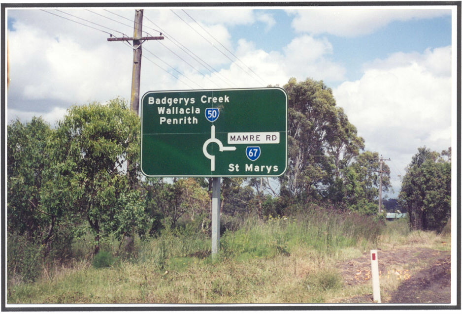
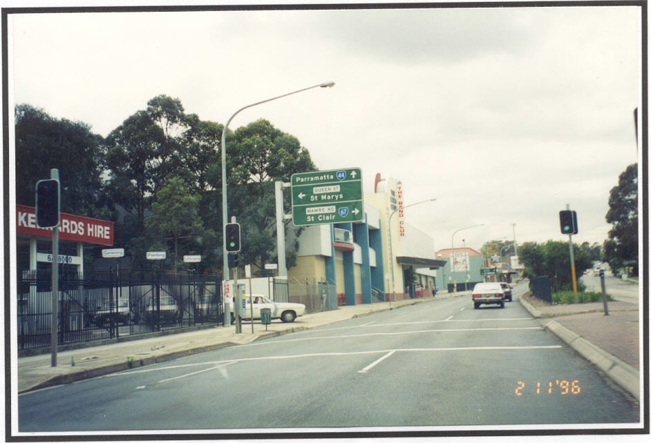
Gt Western Hwy westbound approaching Mamre Rd, St Marys. Photo taken 1996. |
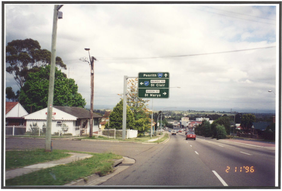
 |
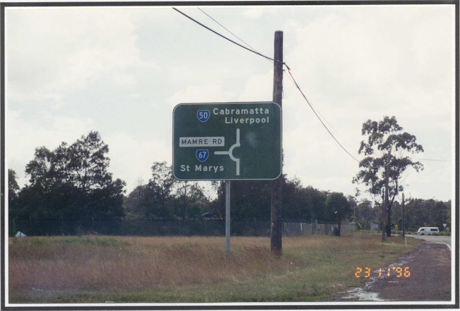
Gt Western Hwy eastbound approaching Mamre Rd, St Marys. Photo taken 1996. |
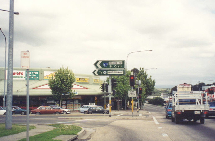 |
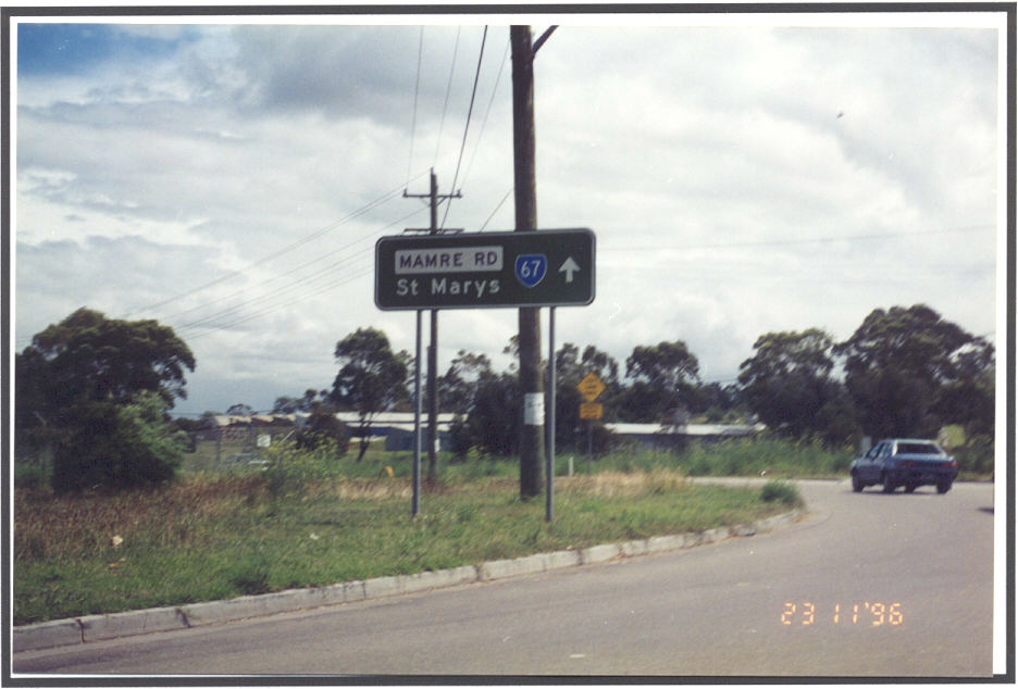
Mamre Rd ID signs at Gt Western Hwy, St Marys. Photo taken 1996. |