CASTLEREAGH HIGHWAY (NSW)
State Highway 18
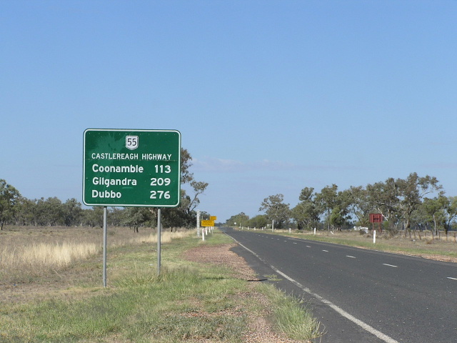
Distance sign heading south from Walgett. This sign is probably a poor replica of an old Department of Main Roads design. April 2006.
Length: 640km
Route Numbers: State Route 86 (Lithgow-Gilgandra) and National Route 55 (Gilgandra-Hebel)
Northern Terminus: NSW/QLD Border, Hebel
Southern Terminus: Great Western Highway, Marrangaroo (7km W Lithgow)
Interstate Continuation: Continues north into QLD to meet the Carnarvon Hwy via Dirranbandi
Focal Points: Lithgow, Mudgee, Gulgong, Dunedoo, Medooran, Gilgandra, Coonamble, Walgett, Lightning Ridge, Angledool (in the process of being removed as a focal point), St George (QLD)
RTA Internal Classification: State Highway No. 18
Proclaimed a state highway: March 1938 (Gilgandra-QLD); October 1997 (Lithgow-Gilgandra)
Named: 1954
Highway Overview:
Castlereagh Highway is a north-south highway through central and north NSW. It provides a supporting role to the other north-south highway of the region, the Newell. It's a relatively low-trafficked route, especially north of Mudgee, and the quality of the road somewhat reflects that.
Since its proclamation as a state highway in March 1938, there have been a few major changes or alignment. First of all, the route between Gilgandra and Lightning Ridge has remained constant. However, the original routing north of Lightning Ridge was via Goodooga to the Queensland Border, and the highway only extended south as far as Gilgandra. In the 1940's the alignment north of Lightning Ridge was changed to meet the Queensland Border at Hebel via Angledool.
In 1954, the Castlereagh Hwy was named, after the river which it parallels for most of its journey north from Gilgandra. In the same year, it was also allocated National Route 55 in the National Route system that was unveiled in 1954. However, the route wasn't signposted straight away, and in 1982 the route was still unsigned north of Walgett (presumably because it was still unsealed). In 1974, as NSW unveiled its system of state routes, the southern half (south of Gilgandra) of the (now) Castlereagh Hwy was allocated State Route 86.
It wasn't until October 1997 that the highway was extended southwards along Trunk Routes 55 & 77 to the Great Western Hwy at Marrangaroo (7km W of Lithgow). This meant the Castlereagh took on a greater north-south role, as well as another route number, State Route 86 south of Gilgandra.
Construction Overview:
Much of the highway was initially constructed in the 1800's and continually improved to the dustless surface that exists today. The highway was fully sealed by the end of the 1980's. Some major upgrades that have been constructed on the Castlereagh Hwy over the years are listed in chronological order below:
1919 - Old bridge across Castlereagh River at Coonamble
January 1947 - Bridge over Coxs River at Lidsdale (now being widened)
1973 - Grade-separation of the interchange with NR32 (Gt Western Hwy) at Marrangaroo. Also part of the project was 11km of dual carriageway on NR32 west from Lithgow.
June 1981 - Bridge over Namoi River at Walgett, replacing 1-lane timber structure
October 1982 - Bridge over Castlereagh River at Armatree
December 1982 - Windamere Dam Deviation south of Mudgee
December 1991 - Dick O'Brien Bridge over Barwon River at Euminbah (replacing a 1920's bridge). Named after a respected rural industry campaigner who passed away in 1991.
For photos of the Castlereagh Hwy please see the respective route number page:
State Route 86
National Route 55
Further Reading-Off site:
Castlereagh Hwy - Michael Greenslade