Musselroe Bay |

Fingerboard sign assembly at the intersection of Eddystone Rd (C843), Browns Bridge Rd (C843) & Musselroe Rd (C845), 9km east of Gladstone. Source: Peter Renshaw, April 2008.
Introduced: 1980
Length: 17km
Northastern Terminus: Musselroe Bay
Southwestern Terminus: Eddystone Rd (C843), Browns Bridge Rd (C843) & Musselroe Rd (C845), 9km east of Gladstone
Route taken: Musselroe Rd
Focal Points: Mt William National Park, Musselroe Bay
Responsibility: Local Government
C845 is a 17km long spur route in far north eastern Tasmania, linking the town of Gladstone with the seaside holiday village of Musselroe Bay, located within Mt William National Park. The route is entirely unsealed although was, at February 2008, in good condition.
|
Photos of route C845 |
|
 |
The first mention of C846 - fingerboard signs at the intersection of Browns Bridge Rd (C843) & Cape Portland Rd (C844), 2km east of Gladstone. Note the incorrect use of the green background around the route shield in parenthesis, and also note the omission of a C845 route marker in parenthesis next to Musselroe Bay! |
| |
Brand new fingerboard sign assembly at the intersection of Eddystone Rd (C843), Browns Bridge Rd (C843) & Musselroe Rd (C845), 9km east of Gladstone. |
 |
Musselroe Rd (C845) looking southwest towards the intersection with Eddystone Rd and Browns Bridge Rd. |
 |
Musselroe Rd (C845) looking northeast across the plains towards the Great Musselroe River, 2km from Browns Bridge Rd (C843). |
 |
Musselroe Rd (C845) looking north towards the sharp right turn that leads to the bridge over the Great Musselroe River, 3km from Browns Bridge Rd (C843). Source: Peter Renshaw, February 2008. |
 |
Deteriorating fingerboard sign at the sharp bend on approach to the Great Musselroe River bridge. Note that the legend 'Musselroe Bay' is on a sticker covering 'Poole' which was the former name for the small village on the bay. Source: Peter Renshaw, February 2008. |
| Musselroe Rd (C845) looking west between the intersection above and the bridge over the Great Musselroe River bridge. |
|
 |
Musselroe Rd (C845) looking west across the Great Musselroe River, 3.5km from Browns Bridge Rd. Source: Peter Renshaw, February 2008. |
 |
Musselroe Rd (C845) looking west across the plains, 6km from Browns Bridge Rd. Source: Peter Renshaw, February 2008. |
 |
Musselroe Rd (C845) looking north at the entrance to Mt William National Park, 7.5km from Browns Bridge Rd. Source: Peter Renshaw, February 2008. |
 |
Musselroe Rd (C845) looking north, 10km from Browns Bridge Rd. Source: Peter Renshaw, February 2008. |
 |
Musselroe Rd (C845) looking north into Musselroe Bay village. Note the 40km/h speed limit - many of the small coastal villages have 40km/h through them. Source: Peter Renshaw, February 2008. |
 |
Musselroe Rd (C845) looking north through Musselroe Bay village. Source: Peter Renshaw, February 2008. |
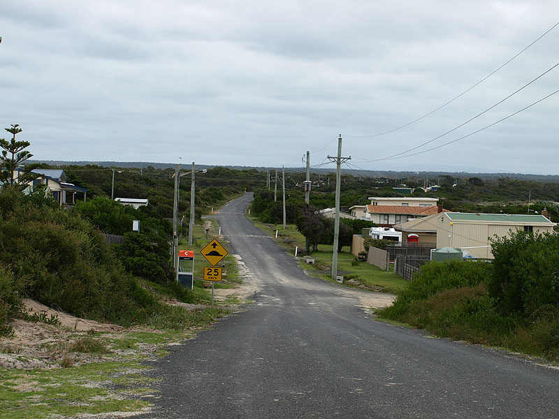 |
Musselroe Rd (C845) looking back south through Musselroe Bay village. Source: Peter Renshaw, February 2008. |

Last updated 17 April 2011. © Ozroads 2004-2011. |