Pipers River to Weymouth |

Fingerboard sign assembly at the intersection of Weymouth Rd (C816) & Tam O'Shanter Rd (C817), 4km west of Weymouth. Source: Peter Renshaw, September 2007.
Introduced: 1980
Length: 14km
Northern Terminus: Major St, Weymouth
Southern Terminus: Bridport Main Rd (B82) & Weymouth Rd (C816), Pipers River
Route taken: Weymouth Rd, Major St
Focal Points: Pipers River, Weymouth
Responsibility: Local Government
C816 is a short, sealed spur route, running from Bridport Main Rd (B82) at Pipers River to the small seaside village of Weymouth which is located at the mouth of the Pipers River. C816 also provides access to the tiny seaside hamlet of Lulworth, accessed via C817. The route runs directly north for several kilometres before turning sharply east near the junction with C817 to reach Weymouth.
|
Photos of route C816 |
|
AD sign on Bridport Main Rd (B82) approaching the junction with Weymouth Rd (C816) at Pipers River. |
|
 |
AD sign eastbound on Bridport Main Rd (B82) approaching the junction with Weymouth Rd (C816) at Pipers River. Source: Peter Renshaw, September 2007. |
  |
Fingerboard sign assembly at the intersection of Bridport Main Rd (B82) & Weymouth Rd (C816), Pipers River. Note there is no mention of Lulworth, which is accessed via C816 and C817. |
 |
Weymouth Rd (C816) looking south towards the intersection with Bridport Main Rd (B82) at Pipers River. |
Weymouth Rd (C816) looking north as it passes through the Lefroy Forest Reserve, 1.5km north of Pipers River. |
|
 |
Weymouth Rd (C816) looking north near the 'Leura' property, 3.5km north of Pipers River. Source: Peter Renshaw, September 2007. |
 |
Weymouth Rd (C816) looking south at Weymouth Farm Rd, 5km north of Pipers River. Source: Peter Renshaw, September 2007. |
 |
Weymouth Rd (C816) looking south to the narrow concrete bridge over Turqoise Creek, 7km north of Pipers River. This bridge recently had its deck replaced, although the original concrete piers remain. Source: Peter Renshaw, September 2007. |
 |
Weymouth Rd (C816) looking south along an undulating section, 7.5km north of Pipers River. Source: Peter Renshaw, September 2007. |
 |
Weymouth Rd (C816) looking east on the approach the Tam O'Shanter Rd (C817) intersection, 4km west of Weymouth. |
 |
Fingerboard sign assembly at the intersection of Weymouth Rd (C816) & Tam O'Shanter Rd (C817), 4km west of Weymouth. These signs are the only mention of C817. |
 |
Weymouth Rd (C816) looking east, 2km west of Weymouth, with a glimpse of Bass Strait in the distance. Source: Peter Renshaw, September 2007. |
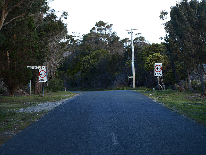 |
Weymouth Rd (C816) looking east as you enter the small seaside village of Weymouth, 14km north of Pipers River. Source: Peter Renshaw, September 2007. |
 |
Looking east along Major St (C816) through the village of Weymouth. Source: Peter Renshaw, September 2007. |
 |
Major St (C816) looking east through Weymouth. Major St and C816 both terminate at the far end of this street, in the distance. Source: Peter Renshaw, September 2007. |


Last updated 1June 2009 |