Flinders Island |

Fingerboard signs at C803's northern terminus - the intersection of Palana Rd (B85) and Memana Rd (C803), 3km north of Whitemark. Source: Peter Renshaw, April 2008.
Introduced: 1980
Length: 40km
Northern Terminus: Palana Rd (B85) & Memana Rd (C803), 3km north of Whitemark
Southern Terminus: Lady Barron Main Rd (B85) & Lackrana Rd (C803), 5km north of Lady Barron
Route taken: From the intersection of Lady Barron Main Rd (B85) & Lackrana Rd (C803), 5km north of Lady Barron, via Lackrana Rd and Memana Rd to the intersection of Palana Rd (B85) & Memana Rd (C803), 3km north of Whitemark
Focal Points: Lady Barron, Lackrana, Memana, Whitemark
Responsibility: Local Government
C803 is a loop route through central Flinders Island, which is located off the northern coast of Tasmania. Branching off the B85, north of Lady Barron, C803 heads north to the town of Memana, before heding south-east to rejoin to the B85 near Whitemark. It is fully sealed.
|
Photos of route C803 |
|
|
Fingerboard signs at C803's northern terminus - the intersection of Palana Rd (B85) and Memana Rd (C803), 3km north of Whitemark.
Source: Peter Renshaw, April 2008. |
 |
Palana Rd (B85) looking north to the intersection with Memana Rd (C803), which continues straight ahead. Source: Peter Renshaw, April 2008. |
 |
Memana Rd (C803) looking south to the intersection with Palana Rd (B85). This is the southern terminus of C803. Source: Peter Renshaw, April 2008. |
 |
Memana Rd (C803) looking south across the bridge over South Pats River. Source: Peter Renshaw, April 2008. |
 |
Memana Rd (C803), looking south across the flats of the South Pats River, approximately 3km north of Palana Rd (B85). Source: Peter Renshaw, April 2008. |
 |
Memana Rd (C803), looking south from Walkers Lookout. The Darling Range, shown in the background, runs north-south almost through the centre of the Island. Source: Peter Renshaw, April 2008. |
 |
Memana Rd (C803), looking south approximately 1km north of Walkers Lookout Rd. Source: Peter Renshaw, April 2008. |
 |
Memana Rd (C803), looking north approximately 2.5km north of Walkers Lookout Rd. Source: Peter Renshaw, April 2008. |
 |
Memana Rd (C803), looking south approximately 7km south-west of Memana. Memana Rd (C803) crosses a low saddle between Badger Hill and Lucks Hill. Source: Peter Renshaw, July 2007. |
 |
Memana Rd (C803), looking north towards the property 'Ormaru', where the road turns north-easterly to reach Memana. Source: Peter Renshaw, July 2007. |
 |
Memana Rd (C803), looking south-west approximately 4km west of Memana, showing recent pavement sealing. Source: Peter Renshaw, July 2007. |
 |
Memana Rd (C803) looking south-west as it crosses the 40 degrees south parallel, 1km west of Summer Camp Rd (C804) Source: Peter Renshaw, April 2008. |
 |
Memana Rd (C803) looking west at the intersection with Summer Camp Rd (C804), 2km west of Memana. There are no C803 signs at this intersection. Source: Peter Renshaw, April 2008. |
 |
Fingerboard signs at the intersection of Memana Rd (C803) & Lucks Rd (C801), 2km west of Memana. Note the signage for C804 which begins only a matter of metres to the east of this intersection, at the junction of Memana Rd (C803) and Summer Camp Rd (C804). Source: Peter Renshaw, July 2007. |
 |
Memana Rd (C803) looking west, 2km west of Memana, showing the staggered T-junctions with Lucks Rd (C801) and Summer Camp Rd (C804). Source: Peter Renshaw, April 2008. |
 |
Memana Rd (C803) looking west at Memana with Badger Hill in the background. Source: Peter Renshaw, April 2008. |
 |
Memana Rd (C803) looking east to the intersection with Lackrana Rd (C803) at Memana. Source: Peter Renshaw, April 2008. |
 |
Fingerboard sign facing eastbound traffic at the intersection of Memana Rd (C803) & Lackrana Rd (C803) at Memana. C803 turns south here onto Lackrana Rd, which it follows for the remaining 24km of the route. Source: Peter Renshaw, April 2008. |
 |
Fingerboard sign assembly facing northbound traffic at the intersection of Memana Rd (C803) & Lackrana Rd (C803). Memana Rd continues east from this intersection towards Patriarch Inlet. Source: Peter Renshaw, April 2008. |
 |
Lackrana Rd (C803) looking north at the tiny locality of Memana, with the intersection of Memana Rd (C803) in the distance. Source: Peter Renshaw, April 2008. |
 |
Lackrana Rd (C803) looking north across a drainage canal, approximately 1km south of Memana. Note the bushfire in the distance near Wingaroo. Source: Peter Renshaw, April 2008. |
 |
Lackrana Rd (C803) looking south to Summer Camp Rd (C804), where Lackrana Rd (C803) crosses the 40 degrees south parallel. Source: Peter Renshaw, April 2008. |
 |
Lackrana Rd (C803), looking north at the intersection of Summer Camp Rd (C804), 2km south of Memana. Note the absence of any fingerboard signs with reference to C803 or C804 - Summer Camp Rd leads to Tobias Furneaux Lookout. Source: Peter Renshaw, April 2008. |
 |
Lackrana Rd (C803) at the intersection with Lees Rd, looking south towards Survey Hill. Source: Peter Renshaw, April 2008. |
 |
Lackrana Rd (C803), looking north from the northern end of Survey Hill. Source: Peter Renshaw, April 2008. |
 |
Lackrana Rd (C803), looking north from Survey Hill, showing the gently rolling countryside towards Memana. Source: Peter Renshaw, April 2008. |
 |
Between Lackrana and Memana, Lackrana Rd (C803) is almost completely flat - the exception being the crossing of Survey Hill, approximately 5km south of Memana. This photo shows the view south from near the saddle of Survey Hill. Source: Peter Renshaw, April 2008. |
 |
Lackrana Rd (C803) looking south at the intersection with Madeleys Rd, approximately 2.2km north of Liapootah Creek. Source: Peter Renshaw, April 2008. |
 |
Lackrana Rd (C803) looking south across Liapootah Creek, 2km north of Lackrana. Source: Peter Renshaw, April 2008. |
 |
Lackrana Rd (C803), looking south at the intersection with Haulands Gap Rd on the northern outskirts of Lackrana (blink and you will miss it). Source: Peter Renshaw, April 2008. |
 |
Lackrana Rd (C803) looking south across Bowmans Creek at the locality of Lackrana. Source: Peter Renshaw, April 2008. |
 |
Lackrana Rd (C803) looking south, approximately 1km north of Camerons Inlet Rd. This part of Flinders Island is particularly flat. Source: Peter Renshaw, April 2008. |
 |
Lackrana Rd (C803) looking south at the intersection with Camerons Inlet Rd, approximately 7km north of Lady Barron Main Rd (B85). Source: Peter Renshaw, April 2008. |
 |
Lackrana Rd (C803), looking south at the intersection with Golden Mile Rd, 3.5km north of Lady Barron Main Rd (B85). Source: Peter Renshaw, April 2008. |
 |
Lackrana Rd (C803), looking south to the small bridge over Tobacco Creek, 2.5km north of Lady Barron Main Rd (B85). Source: Peter Renshaw, April 2008. |
 |
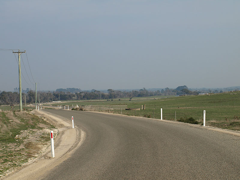
Lackrana Rd (C803), looking south approximately 750m north of Lady Barron Main Rd (B85). Source: Peter Renshaw, April 2008. |
 |
Lackrana Rd (C803), looking south towards the intersection with Lady Barron Main Rd (B85), with the Bootjack Flats and Peaks of Flinders in the background. Source: Peter Renshaw, April 2008. |
 |
Fingerboard signs at C803's southern terminus - the intersection of Lady Barron Main Rd (B85) & Lackrana Rd (C803), 7km north of Lady Barron. Source: Peter Renshaw, July 2007. |
Last updated 7 February 2009 © Ozroads 2004-2009. |