CARRICK to WHITEMORE |

Fingerboard sign assembly at the intersection of Whitemore Rd (C507/C508) & Black Hills Rd (C507), 1km south of Whitemore. Source: Peter Renshaw, June 2007.
Introduced: 1980
Length: 9km
Northern Terminus: Meander Valley Secondary Rd (B54) & Whitemore Rd (C508), 1km west of Carrick
Southern Terminus: Black Hills Rd (C507) & Whitemore Rd (C507/C508), 1km south of Whitemore
Route taken: Whitemore Rd
Focal Points: "To NH1", Whitemore
Responsibility: Local Government
C508 is a rural route in the Meander valley area, west of Launceston, serving a rich agricultural district. It is sealed for its entire length and also mostly devoid of line markings.
Focal point signage for northbound traffic is somewhat confusing, with the fingerboard sign at the southern end of the route referring to "National Highway 1" (Bass Highway) which is now the B54 - Meander Valley Secondary Road. C508 no longer links with the Bass Highway, which has been relocated onto a new limited-access route bypassing Carrick.
|
Photos of route C508 |
|
 |
Meander Valley Secondary Rd (B54) westbound approaching the junction with Whitemore Rd (C508), 1km west of Carrick. Source: Peter Renshaw, May 2007. |
 |
B54 fingerboard signs at the intersection of Meander Valley Secondary Rd (B54) & Whitemore Rd (C508), 1km west of Carrick. Source: Peter Renshaw, June 2007. |
 |
Whitemore Rd (C508), looking south from the intersection with Meander Valley Secondary Rd (B54), 1km west of Carrick. Source: Peter Renshaw, May 2007. |
 |
Whitemore Rd (C508), looking south towards the Bass Highway (NH1) overpass, 2.5km south of Carrick. Source: Peter Renshaw, June 2007. |
 |
Whitemore Rd (C508), looking south between Bass Highway and the crossing of the Launceston to Burnie railway line. Source: Peter Renshaw, June 2007. |
 |
Whitemore Rd (C508) looking north to the level crossing of the Launceston to Burnie railway line, 7km south of Carrick. Source: Peter Renshaw, June 2007. |
 |
Fingerboard sign assembly at the intersection of Whitemore Rd (C508) & Heazlewoods Lane, 1km north of Whitemore. Source: Peter Renshaw, June 2007. |
 |
Whitemore Rd (C508) looking north between Heazlewoods Lane and Whitemore. Source: Peter Renshaw, June 2007. |
 |
Whitemore Rd (C508) looking south into the village of Whitemore, showing typical Tasmanian locality and speed limit signage. Source: Peter Renshaw, June 2007. |
 |
Whitemore Rd (C508) looking north through the village of Whitemore. Source: Peter Renshaw, June 2007. |
 |
Whitemore Rd (C508) looking south on the outskirts of Whitemore. Source: Peter Renshaw, June 2007. |
 |
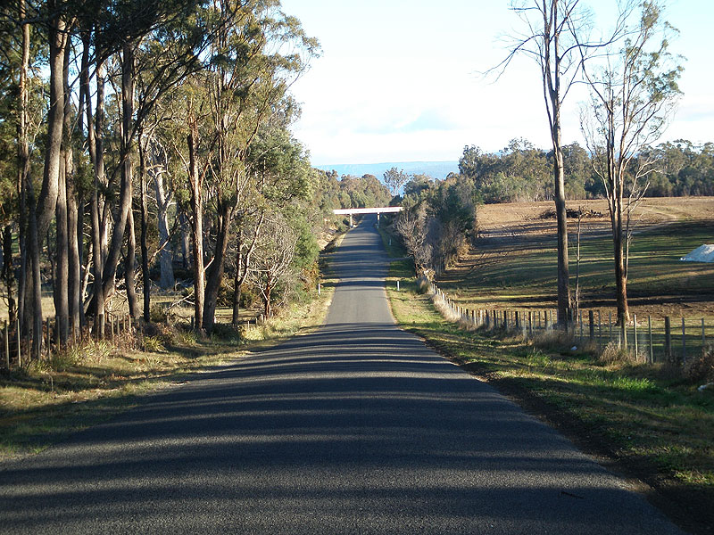
Whitemore Rd (C508) looking south between Whitemore and Black Hills Rd (C507), with Drys Bluff and Cluan Tiers forming an impressive backdrop. Source: Peter Renshaw, June 2007. |
|
Fingerboard sign assembly at the intersection of Whitemore Rd (C507/C508) & Black Hills Rd (C507), 1km south of Whitemore. This is the southern terminus of C508. Source: Peter Renshaw, June 2007. |
Last updated 27 January 2009. © Ozroads 2004-2009. |