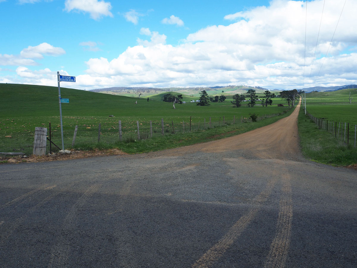
Nala Road |
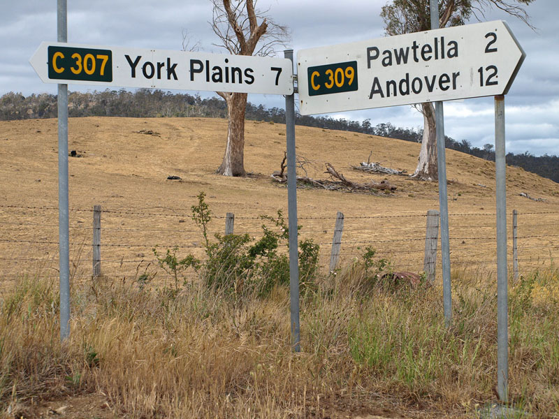
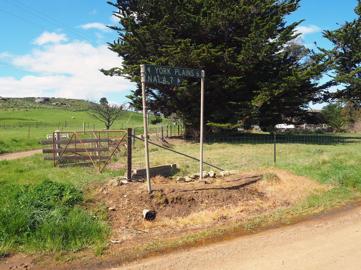
Fingerboard signs at the intersection of York Plains Rd (C307) & Nala Rd (C309), 2.5km north of Pawtella. Source: Peter Renshaw, December 2007.
Introduced: 1980
Length: 12km
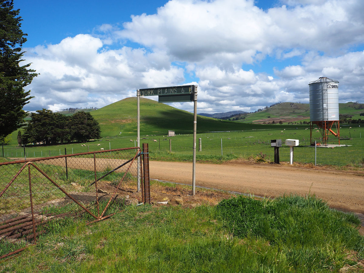
Northern Terminus: York Plains Rd (C307) & Nala Rd (C309), 7km east of York Plains
Southern Terminus: Inglewood Rd (C310) & Nala Rd (C309), Andover
Route taken: Nala Rd
Focal Points: Andover, Pawtella, (York Plains)
Responsibility: Local Government
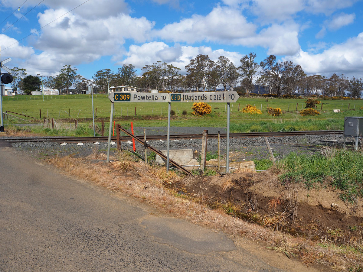
C309 is a 12km long unsealed north-south route in the Southern Midlands, connecting the small village of Pawtella with the east-west routes leading east from Oatlands.
Pawtella is significant for being the site of the first subdivision under the Closer Settlement Act in 1908. The 11,780 acre property 'Mount Pleasant', owned by the O'Connor family since 1836, was purchased by the Closer Settlement Board and subdivided and sold to smaller farmers. This resulted in a population of 117 by 1911, and the later establishment of a small village with a Post Office, Hall and State School.
|
Photos of route C309 |
|
 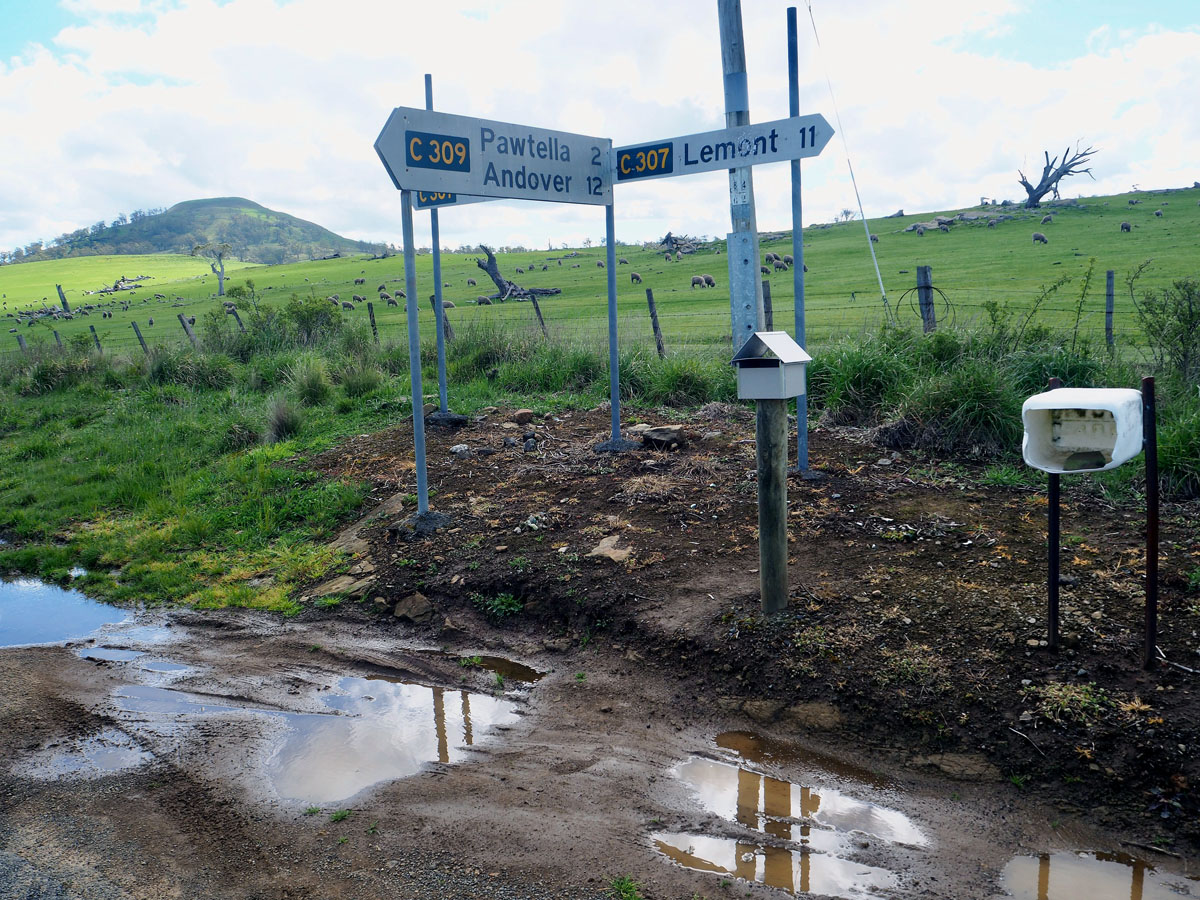 |
Fingerboard sign assembly at the intersection of York Plains Rd (C307) & Nala Rd (C309), 2.5km north of Pawtella. |
 |
Nala Rd (C309) looking south from the intersection with York Plains Rd (C307), 2.5km north of Pawtella. |
 |
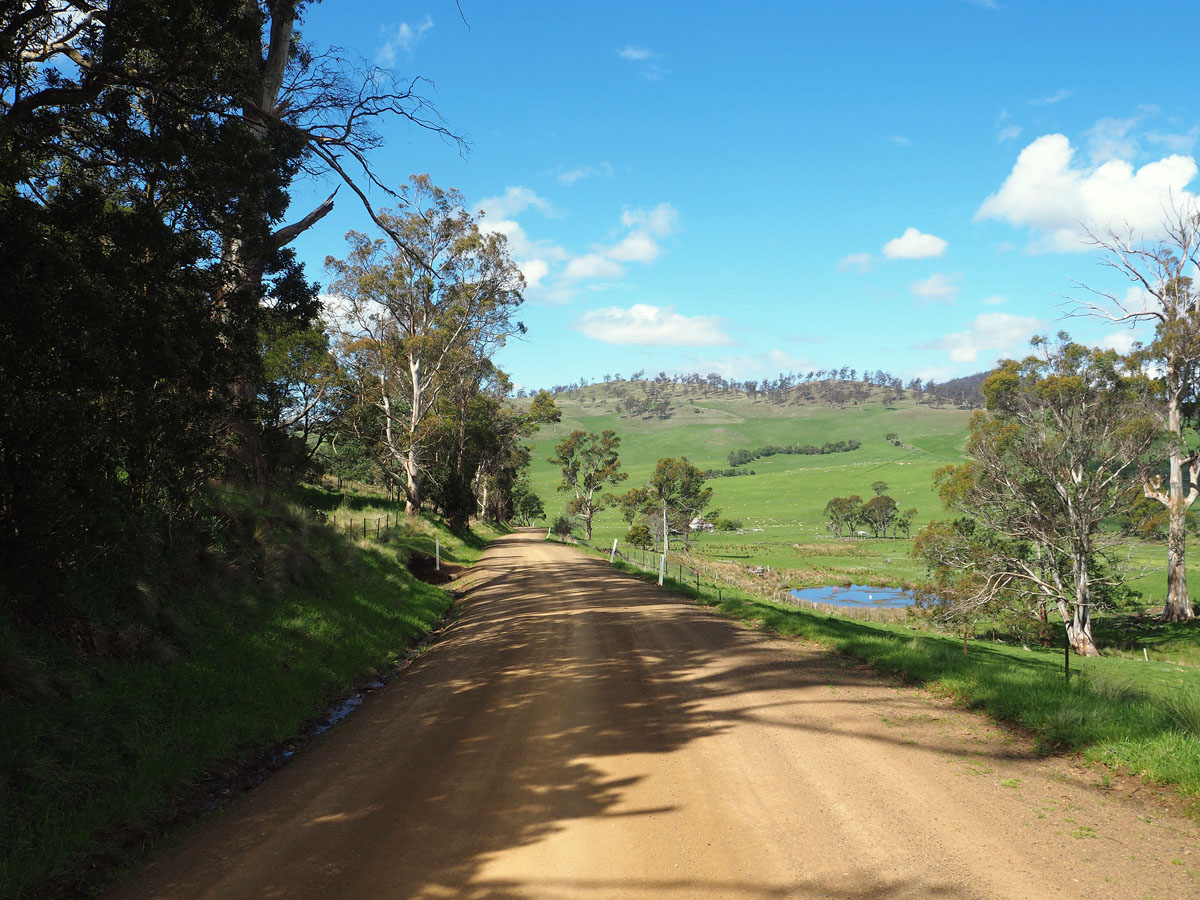
Nala Rd (C309) looking north, approximately 1km south of York Plains Rd (C307), 1.5km north of Pawtella. |
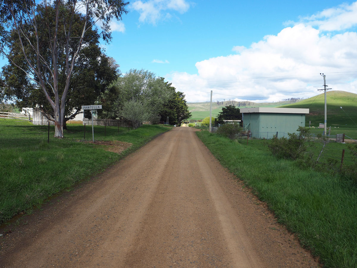 |
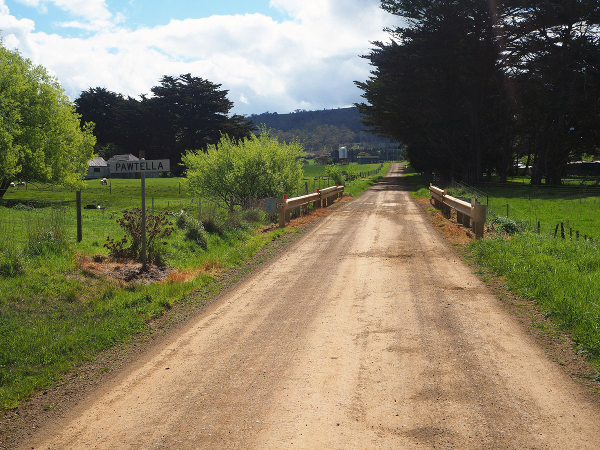
Nala Rd (C309) looking south into Pawtella village. |
  |
Classic Tasmanian fingerboard signs at the intersection of Nala Rd (C309) & Pawtella Rd, Pawtella. This style of fingerboard sign was commonly used at minor rural intersections prior to the adoption of the black-on-white fingerboards as part of the alpha-numeric route numbering rollout in the 1980s. Source: Peter Renshaw, October 2020. |
 |
Nala Rd (C309) looking north into Pawtella village. Source: Peter Renshaw, October 2020. |
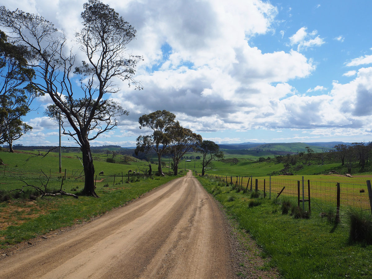
| Nala Rd (C309) looking south, approximately 1km south of Pawtella. |
|
 |
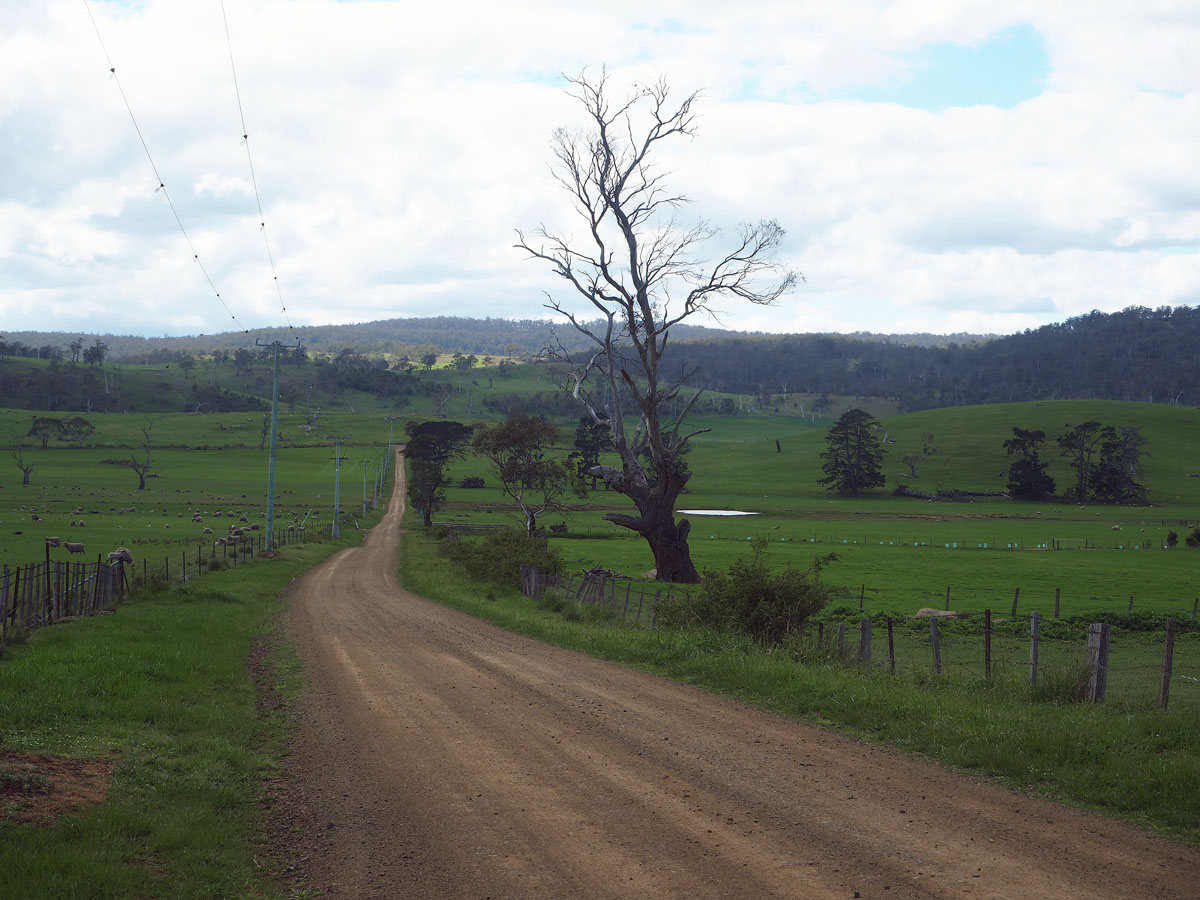
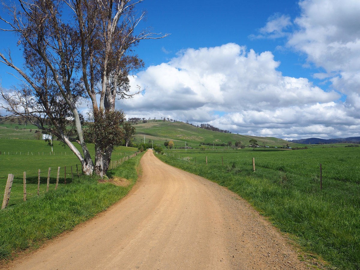
Nala Rd (C309) looking east (north) as it descends from a small saddle, approximately 4km south of Pawtella. Source: Peter Renshaw, October 2020. |
 |
Nala Rd (C309) looking west (south), approximately 4.5km south of Pawtella. Source: Peter Renshaw, October 2020. |
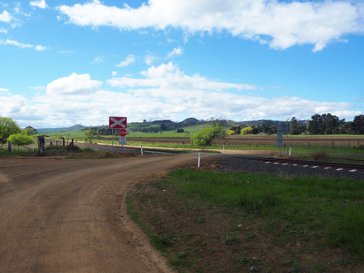 |
Nala Rd (C309) looking north at the railway level crossing, adjacent to the former Nala siding. Source: Peter Renshaw, October 2020. |
 |
Nala Rd (C309) looking south as the route climbs from Nala towards Andover. Source: Peter Renshaw, December 2007. |
 |
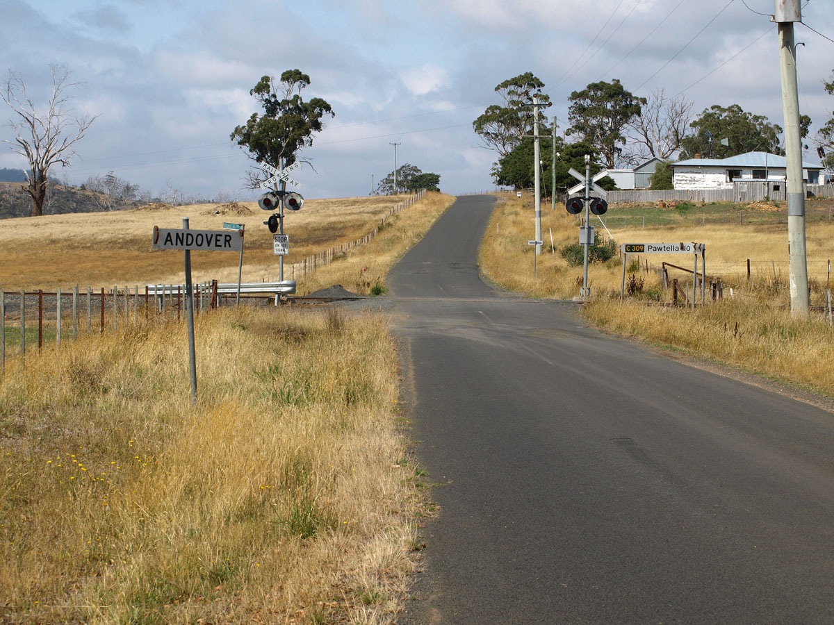
Nala Rd (C309) looking south towards the Inglewood Rd (C310) intersection at Andover. Source: Peter Renshaw, October 2020. |
Signage at the Inglewood Rd (C310) and Nala Rd (C309) intersection at the small locality and former railway siding of Andover. Top photo: Peter Renshaw, October 2020. Bottom photo: Peter Renshaw, February 2009. |
|
 |
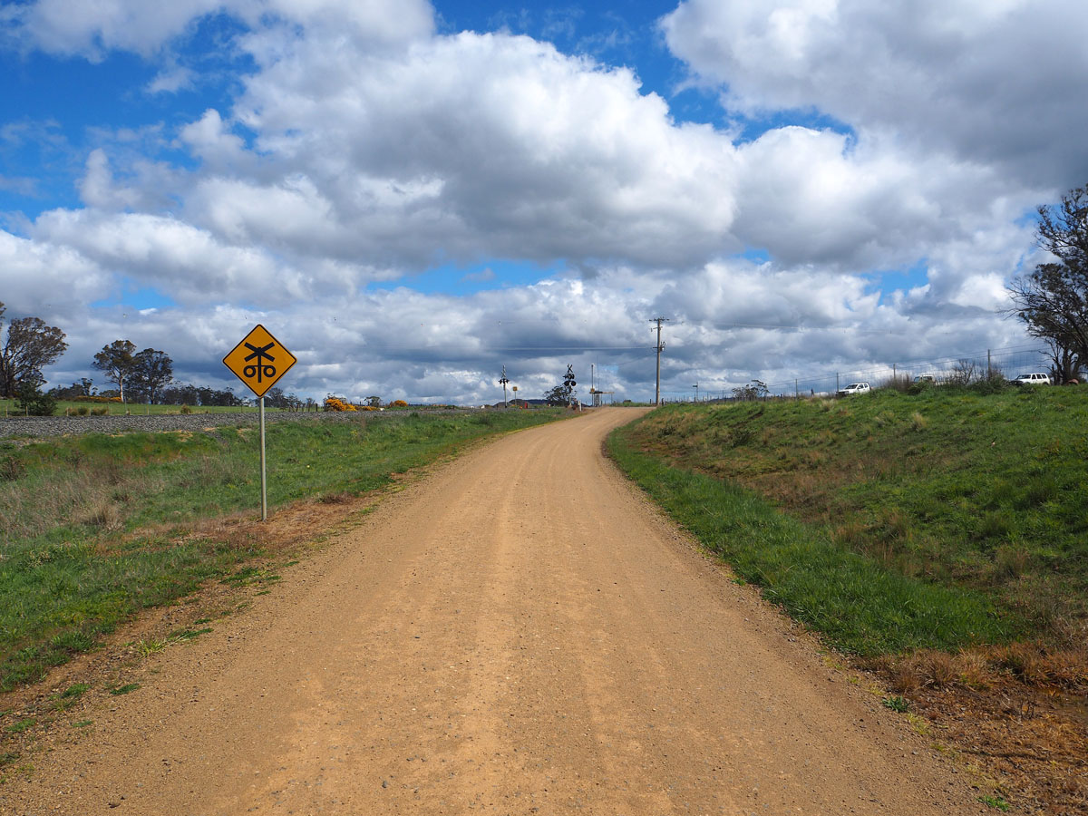
Inglewood Rd (C310) looking east towards the Nala Rd (C309) intersection at Andover. 1.5km east of Andover, C310 passes under the railway and high vehicles destined for the Lemont area are detoured via C309 and C307. Source: Peter Renshaw, October 2020. |
Last updated 11 December 2022 © Ozroads 2004-2022. |