BELLS LINE OF ROAD: History and Development |
||||||||||||||||||||||||||||||||
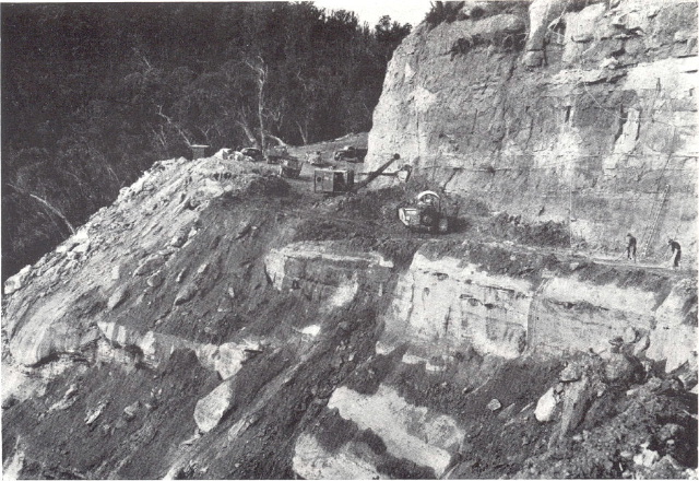
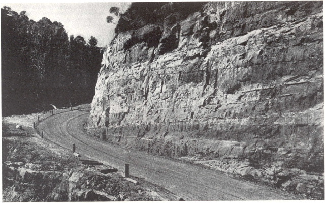
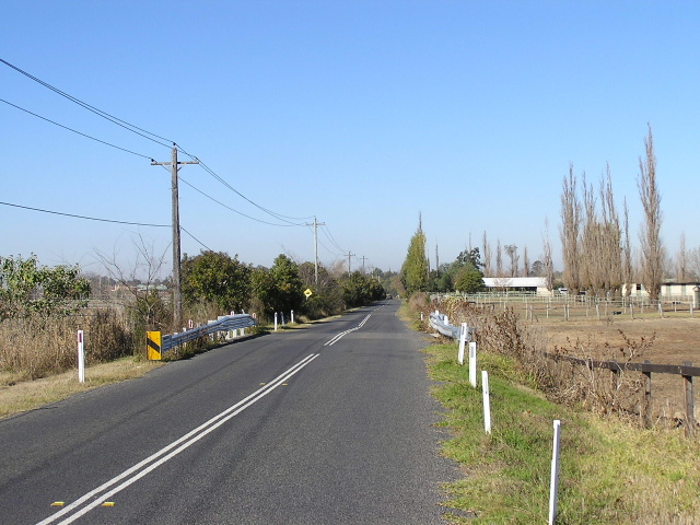
History Bells Line of Road was marked in 1823 by Archibald Bell who, with the help of Aboriginal gudies, found an alternative to Blaxland, Lawson and Wentworths road (the Great Western Highway) across the Blue Mountains. However, Bells Line of Road was rarely used in comparison to the Great Western Highway which also had the railway line parallel it from the 1860s onwards. Around the turn of the century, interest in the Bells Line route increased and the Department of Public Works undertook some limited construction to enable traffic to use the route from Richmond to Lithgow. Bells Line of Road was officially opened in September 1905, in conjunction with the opening of the current Richmond Bridge over the Hawkesbury River (more on that below). Despite being declared part of Main Road No. 184 (North Parramatta-Windsor-Richmond-Bell-Mt Victoria) on 22 May 1928, the route gradually feel into disrepair. Its steep grades, winding nature and the sealing of the Great Western Highway across the Blue Mountains during the Depresssion meant it never became the preferred route. With the outbreak of World War 2 in 1939, Bells Line of Road attracted new interest as an important alternative route for evacuating Sydney should the Great Western Highway be severed by enemy attack.In 1942 the Australian Government began preparing for the possibility of war on our own shores and Bells Line of Road was one of a number of important defence routes selected for upgrading, along with the Putty Road (Windsor-Singleton). In October 1939 the Department of Main Roads began a program of reconstruction on the road at Mount Victoria (note that the original Bells Line of Road turned south at Bell to meet the Great Western Highway at Mt Victoria) and continued it until, by April 1941, earthworks had been completed to a point 11 miles north of Mt Victoria. Work was then halted due to the war efforts. In February 1942 an inspection was made to assess what work was needed to make the road trafficable immediately. The military authorities desired that the unconctructed sections of the road be immediately improved, including provision for collecting and passing stations on the sections that were only wide enough for one-way traffic. There were two sections that would have been serious bottlenecks in an emergency - from Kurrajong Village to Cut Rock (4.5mi with grades of up to 13% and a poor alignment) - and secondly the east and west sides of Mount Tomah. Work on constructing the road progrssed as far as 25 miles east of Bell by March 1942 before serious depletion of the personnel for military service commenced. On September 1942 work was halted indefinitely as the war operations moved north and it appeared the NSW coast was no longer under threat. In December 1945, following the end of the war, work was recommenced by the Department of Main Roads and gradually gained momentum. Following a serious investigation to find a suitable route, in November 1946 a large cutting on the west side of Mount Tomah was commenced. From here the Department of Main Roads tells the story: "The determination of route on this section needed courage when one viewed the huge ravine to be filled, and the formidable cliffs which had to be cut down the mountain to provide access between Mt Tomah and Mt Bell. Located under this cliff was the existing road, which had to be kept open to traffic, and which was in the path of most of the debris to be brought down from the excavations above.
During 1947 construction of a deviation around Kurrajong Village was completed and between Cut Rock and Kurrajong Heights an abandoned alignment was reconditioned and used as a traffic detour during reconstruction of the road. The massive reconstruction program was finally completed in June 1949.
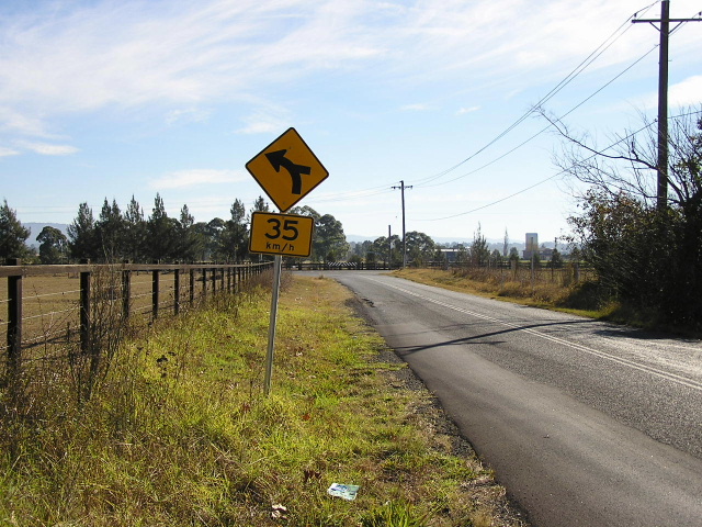
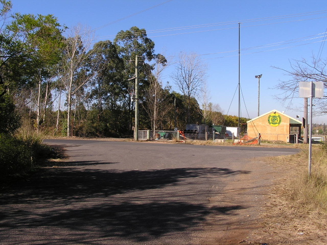
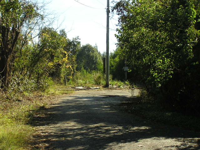
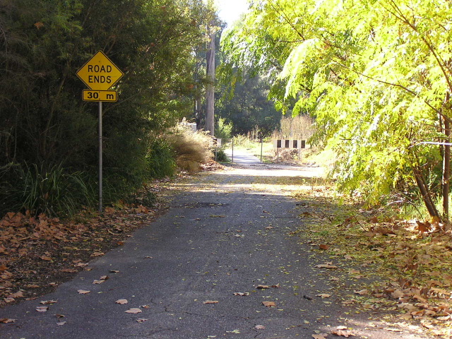
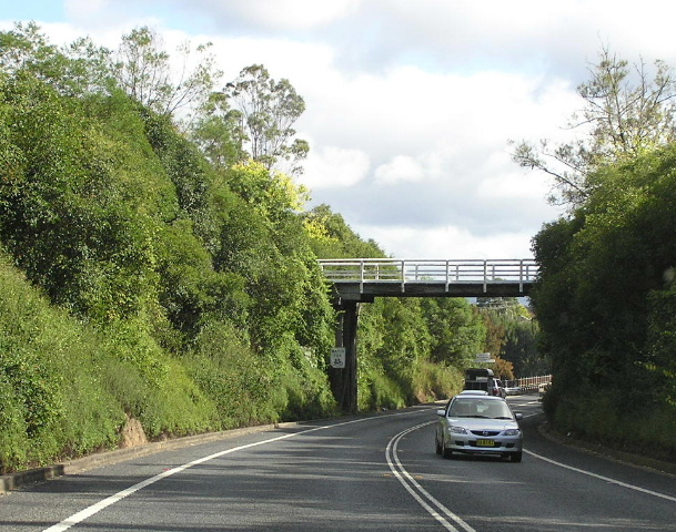
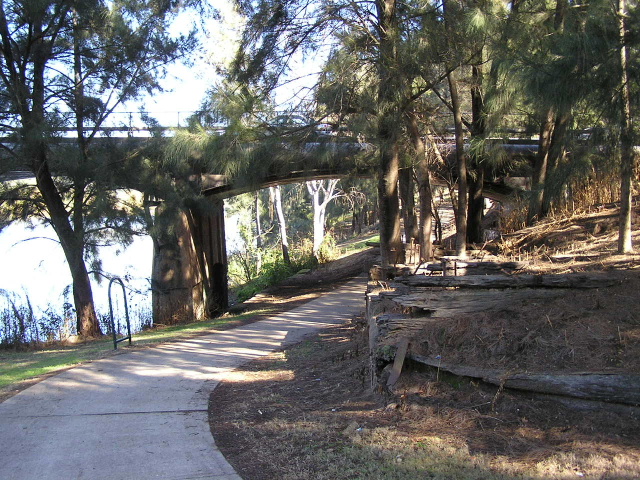
Since then, the DMR and RTA have made a number of safety improvements, including overtaking lanes on the steepest sections, safety ramps at Bellbird and Scenic Hills, and the provision of a Heavy Vehicle Checking Station at Bell. In the late 1990s sections between Mt Tomah and Bell were widened and a jersey median barrier installed to prevent head-on collisions. Richmond Bridge Bells Line of Road begins at the Richmond Bridge over the Hawkesbury River, 3km west of Richmond. The current bridge was constructed between January 1904 and September 1905 and is a thirteen-span Monier concrete arch structure. It replaced an earlier timber structure that had been severely battered by floodwaters and restored a number of times. The first bridge over the Hawkesbury River at Richmond was planned in 1857 and completed by 1860, partly in response to an increase in traffic along Bells Line of Road caused by several goldrushes in central western NSW. The timber structure was battered by floods time and time again, and its abutments were severely damaged by the 1867 and 1970 floods which both caused large-scale scouring of the bank. In April 1871, the inhabitants of Windsor, Richmond, Kurrajong and other road users "begged for the restoration of the privately constructed bridge which connected Richmond with the Bells Line of Road."2 In 1876 the Government purchased the timber bridge and restored, raised and extended it to better cope with the flooding. However, in 1900 the decking of the bridge was again severely damaged in flood and the river bed had silted up so far that the smallest floods were rendering the bridge impassable. Construction of a new bridge was commenced in January 1904 and completed in September 1905, officially opened in conjunction with the openining of Bells Line of Road. The new bridge was a thirteen-span Monier concrete arch structure (Australia's largest reinforced concrete arch bridge at the time, and remained so for 25 years), with a deck level approximately 7m above the normal river level. The upstream handrail of the bridge is deisigned to allow it to be swung down onto the footway in the event of a flood (that exceeds the deck height). Until 1933 the bridge was allocated it own caretaker who was responsible for lowering and raising the handrail at appropriate times, ensuring that flood debris was passed under the bridge or diverted to calm water and preventing the public from danger in the event of flood or fire around the bridge. The caretaker also took responsible for general maintenance of the bridge. A major change to the bridge structure came in 1926 as part of the construction of the Richmond-Kurrajong railway line - a third column was added to each pier to support two steel girders which carried the railway line across the river on the northern side of the bridge. The Kurrajong Line opened in November 1926 and continued from the Blacktown-Richmond Line at Richmodn Station, west through Richmond Park and along Kurrajong Road to the Richmond Bridge, before crossing Bells Line of Road at North Richmond and commencing a steep climb to Kurrajong. Heavy rain in June and July of 1952 caused land subsidence in the cuttings near Kurrajong. The rains had extensively damaged the tracks, buckling the railway, and had also caused land slips.Though there was much protest, the then Commissioner of Railways, Reg Winsor, notified the State Member for Hawkesbury in September 1952 that the line would not reopen. He cited the high costs involved in reopening it for such low returns as the reason for closure.3 The railway tracks were completely removed by 1956 and the Department of Main Roads set in motion plans to utilise the disused railway portion of the bridge for vehicular traffic and use the railway's eastern approach (Kurrajong Road) to straighten out four elthal right-angle bends on the Richmond approach to the bridge (Old Kurrajong Rd). Today, the eastbound traffic lane occupies what was once the Kurrajong railway line and a footway has been constructed on the southern side of the structure. Photographs showing the old eastern approach to the bridge can be found at the end of this section. Floods continue to cause disruption to traffic crossing the bridge as frequently as once a year (although not recently because we haven't had any rain!) and silting up of the river bed and scouring of the banks have continued to be problematic. By 1950 there had been some community demand for a high-level bridge across the Hawkesbury, however the assurance from the State Government that the strategic storage of water in Warragamba Dam would prevent future flooding kept them at bay. In 1978, several options were mooted for new bridges further south, to provide flood-free access to the western side of the Hawkesbury River however no plans for replacement of the current bridge were made at that stage. If the proposed Blue Mountains (aka Bells Line) Motorway is constructed, this will provide a high-level flood-free crossing of Hawkesbury River to compliment the existing Richmond Bridge. More information on the Blue Mountains Motorway proposal can be found its page.
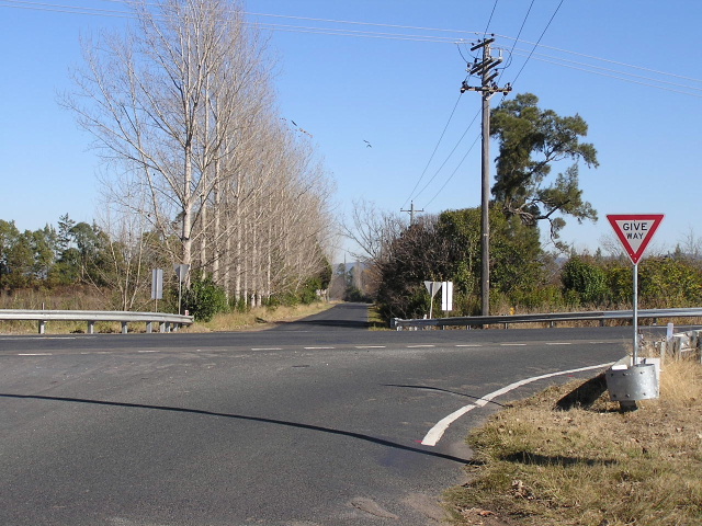
If these photos aren't enough for you, there are some interesting photos available on the Richmond-Kurrajong Railway site (http://www.hawkesburyhistory.org.au/railways/Pansy1.html), including some of the railway line on the current alignment of Kurrajong Rd and using the downstream (northern) side of Richmond Bridge. Where does the name go? There is some confusion over where exactly Bells Line of Road goes when it reaches the tiny village of Bell (not much more than a railway station), 20km east of Lithgow. The internal classification of Main Road No. 184 (named Bells Line of Road between North Richmond and Mt Victoria by proclamation in the Government Gazette) turns south at Bell and parallels the railway line to the Great Western Highway at Mt Victoria. The road from Bell to the Great Western Highway at Bowenfels via Dargan, Clarence and Lithgow is gazetted Main Road No. 516, and named "The Chifley Road" between Bell and the foot of Scenic Hill. Directional signage, however, tells a much different story. The section of Main Road No. 184 between bell and Mount Victoria is signed as 'Darling Causeway'. The section of Main Road No. 516 between Bell and Bowenfels is sign on most directional signs as 'Bells Line of Road'. Only a handful of signs - mainly in Bell - show the name 'Chifley Road'. This evidence brings me to the conclusion that at some point the RTA has decided to sign the entirity of State Route 40 between North Richmond and Bowenfels as 'Bells Line of Road', probably citing its importance as a through route and as a tourist route. However, the gazetted definitions of these roads (Main Roads No. 184 & 516), which are rarely seen by the public, have not been updated to reflect this decision. A similar situation exists with the Kings Highway (Batemans Bay-Queanbeyan), where the RTA has come to an informal agreement with councils along the route to sign the entire route as Kings Highway, despite it having no single declared name along its route.
|


1. Department of Main Roads; Main Roads Vo.l 16 No. 1; September 1950; p.24
2. RTA; Hawkesbury River Bridge (Online); Available from: http://www.rta.nsw.gov.au/cgi-bin/index.cgi?action=heritage.show&id=4309511; Accessed: 11 June 2006
3. Tourist Railway Association Kurrajong; History (Online); Available from: http://www.trak.org.au/trakhist.html; Accessed: 11 June 2006