SILVER CITY HIGHWAY
State Highway No. 22
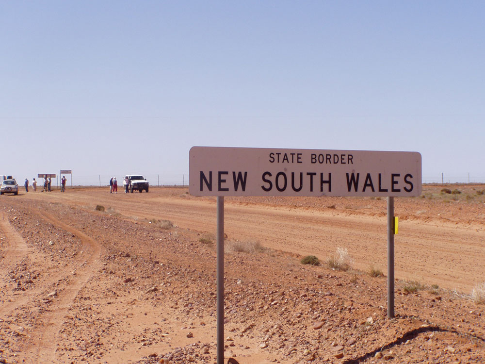
Fingerboard sign between Murray River and Wentworth, January 2004.
Length: 681km
Northern Terminus: Barrier Highway, Broken Hill
Southern Terminus: Stuart Highway, Buronga
Focal Points: Mildura, Wentworth, Broken Hill, Tibooburra, Warri Gate, Noccundra, Eromanga, Quilpie, Windorah, Longreach
RTA Internal Classification: State Highway 22
Proclaimed a state highway: 9 February 1945
Named: 12 August 1960
Route Overview:
The Silver City is the westernmost north-south highway in NSW. It is still unsealed for nearly half its length, but its most important section, from Buronga to Broken Hill, has been fully sealed since 1969. Part of the route carries the National Route 79, between the Calder Highway at Curlwaa and the Barrier Highway at Broken Hill. The remaining sections of the highway do not carry a number, however the section between Buronga and Curlwaa is incorrectly signposted as NR79. However, it is possible that the RTA has taken an unofficial stance that NR79 should connect to NH20 via the Silver City Highway to Buronga. It is also interesting to note that the gazetted definition of State Highway No. 22 includes the 700m section of the Calder Highway in NSW.
The highway route was classified in 1928 as a Trunk Route, No. 69 to be precise, and only extended north to the turnoff to White Cliffs, north of Broken Hill. North of here, the road was classified as part of State Highway No. 21 (now Cobb Highway) but the entire route was reclassified on 9 February 1945 to form State Highway No. 22. The highway was later named Silver City Highway in 1960 after Broken Hill, through which the highway passes. In conjunction witht eh later naming of the highway, on 12 August 1960, the section of road signed as Calder Hwy (northern approach to Abbottsford Bridge) was proclaimed part of State Highway No. 22.
The highway was almost completey unsealed when first proclaimed and is still yet to be fully sealed. The more heavily trafficked section between Buronga and Broken Hill was fully sealed in 1969, 7 years after it was signposted with the NR79 designation. The remainder of the route north of Broken Hill has never been signposted with a route marker, although it is/was earmarked as NR79 when it was sealed. Since the late 1980's the highway has been progressively sealed between Broken Hill and Tibooburra, to the extent that less than 100km remains unsealed. Between Tibooburra and the Queensland Border the road has no sealed sections.
A proposal was launched during the 1970's for a northerly extension of the Silver City Highway to Mt Isa as part of an improved through route between Melbourne and Darwin. This proposal is examined in more detail HERE.
It is likely that the southern half of the highway will gain the "B79" designation under future alpha-numeric route numbering in NSW. Evidence of this has been discovered at an intersection in South Broken Hill.
Notable events the history of Silver City Highway:
1928 - Abbotsford Bridge opened to traffic
1928 - Classified as Main Road 69
1947 - Proclaimed State Highway 22
Aug 1960 - Named Silver City Hwy
1962 - NR79 signposted between Curlwaa and Broken Hill
1969 - fully sealed south of Broken Hill
Jan 1969 - Darling River bridge, Wentworth (replaced 1893 timber bridge)
Further reading (on-site):
Silver City Hwy between Calder Hwy and Sturt Hwy (incorrectly signposted as NR79)
Silver City Hwy southern terminus: Sturt Hwy, Buronga (incorrectly signposted as NR79)
Photos of Silver City Highway |
|
 |
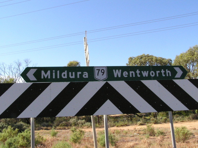
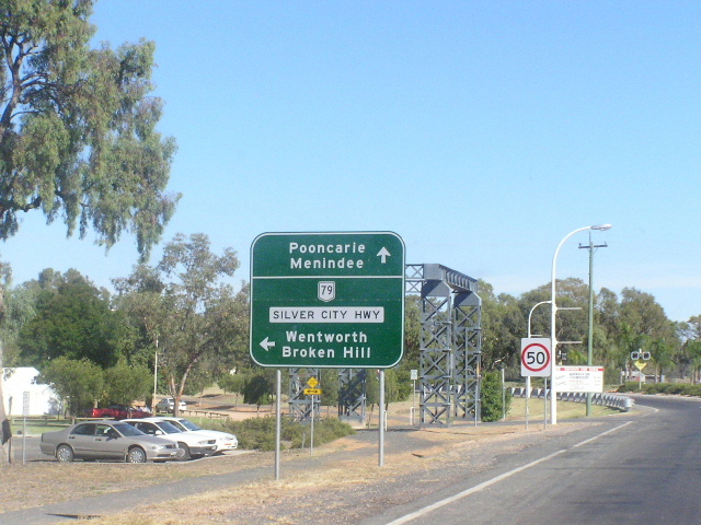
Silver City Hwy approaching NR79 intersection. Photo taken January 2004. |
 |
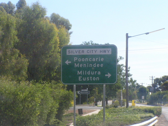
Calder Hwy northbound at its northern terminus. Note NR79 is incorrectly shown as going both ways, where it should only point straight ahead. Photo taken January 2004. |
 |
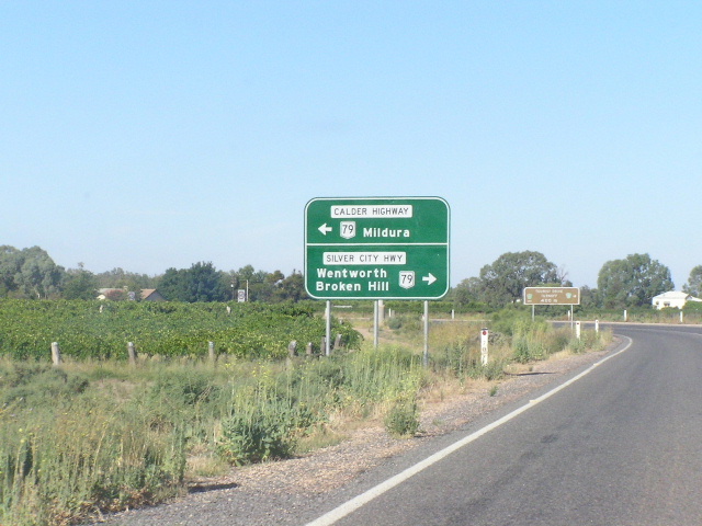
ID signs at the Silver City/Calder Hwy intersection. Photo taken January 2004. |
 |
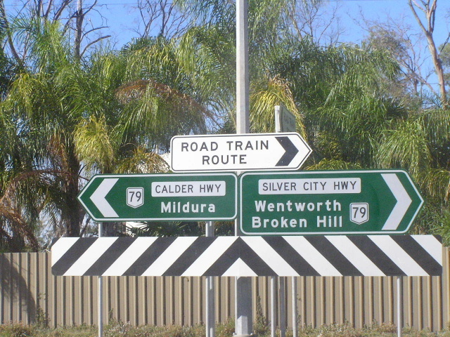
RD sign from the Silver City/Calder Hwy intersection. Photo taken January 2004. |
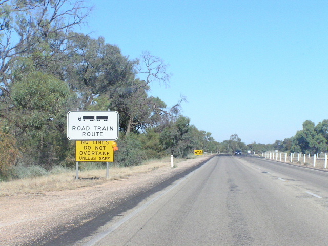 |
Road train sign on the southern outskirts of Wentworth. Photo taken January 2004. |
 |
RD sign eastbound from Wentworth. Photo taken January 2004. |
 |
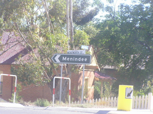
Wentworth St/Armstrong St intersection, Wentworth. Photo taken January 2004. |
 |
Same intersection, horrible sign. Note the lack of NR79 shield and the incorrect name plate, Silver City Hwy only goes right. Photo taken January 2004. |
 |
Black ID sign at the same intersection. Photo taken January 2004. |
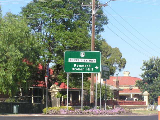 |
Sandwych St/Adams St intersection, Wenworth. Photo taken January 2004. |
 |
Same intersection, this time southbound. Photo taken January 2004. |
 |
Northbound RD sign from Wenworth. Note that it has no distances so it is really quite silly. Photo taken January 2004. |
 |
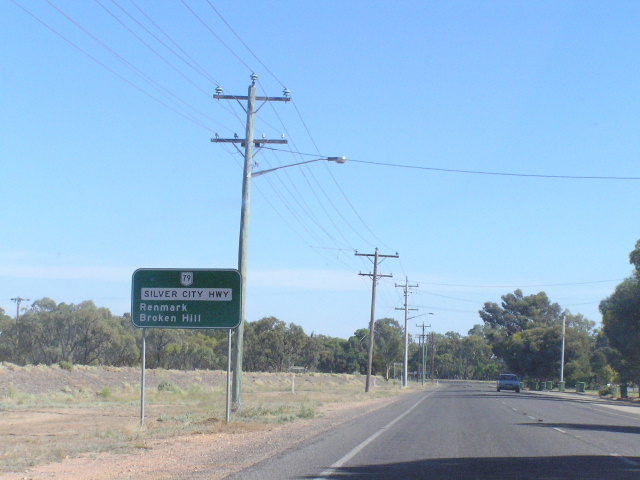
AD sign for the road to Renmark through the sand hills. Note the lack of a NR79 shield. Photo taken January 2004. |
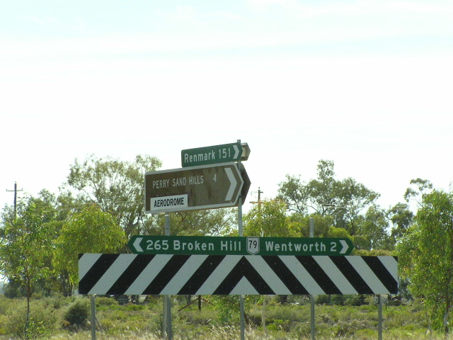 |
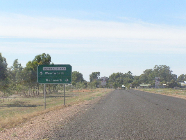
Fingerboards at the intersection with the road to Renmark. Photo taken January 2004. |
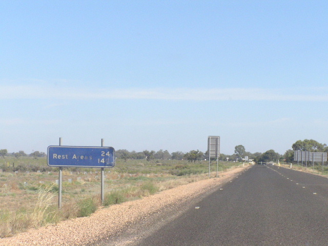 |
Looking north from the Renmark turnoff is this unusual rest area ID sign. It has to be one of the first of its kind, dating from the 1980's. Photo taken January 2004. |
 |
Odd font on this AD sign in Broken Hill. January 2005. |
 |
Assortment of ID signs on the northern outskirts of Broken Hill. Jan 2005. |
 |
Distance sign leaving Broken Hill. Note the absence of a route number or highway name. Source: Nathan Johnston, May 2005. |
 |
An old black fingerboard sign that has been converted into a makeshift RD sign, 10km north of Broken Hill. Source: Nathan Johnston, May 2005. |
 |
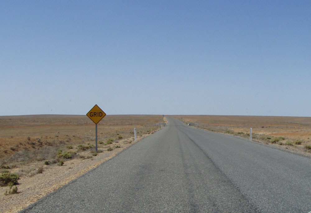
Fingerboard sign assembly at the junction of Silver City Highway & Main Road No. 428, 53km north of Broken Hill. Note the sealed pavement with edge lines but no centre line. Source: Nathan Johnston, May 2005. |
 |
Looking north approximately 70km north of Broken Hill. Source: Phillip McCallum, September 2008. |
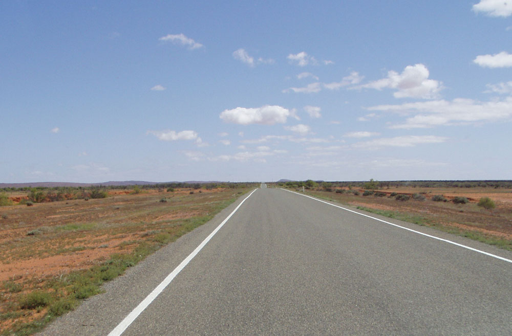 |
Looking north approximately 150km north of Broken Hill, showing the recent seal with edge lines marked. I assume this is to compensate for the lack of guide posts in providing night time delineation of the carriageway. Source: Phillip McCallum, September 2008. |
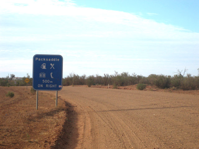 |
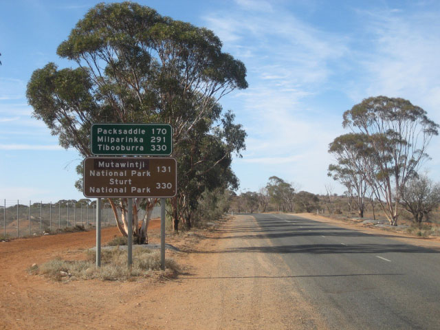
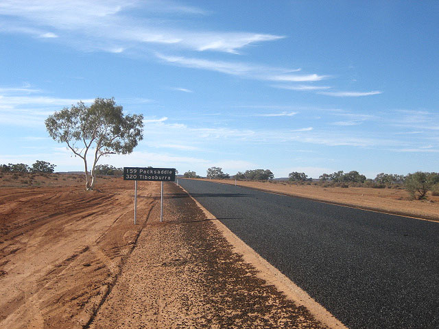
Services AD sign northbound on Silver City Highway approaching Packsaddle Roadhouse, 170km north of Broken Hill. Source: Nathan Johnston, May 2005. |
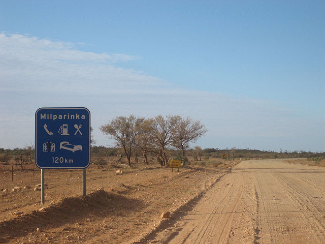 |
Services RD sign northbound after Packsaddle Roadhouse, warning travellers that the next available services are 120km away at Milparinka. Source: Nathan Johnston, May 2005. |
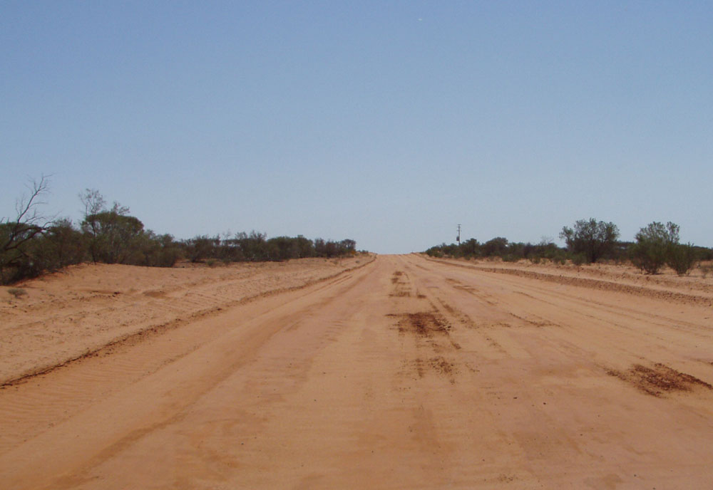 |
Lookng north approximately 210km north of Broken Hill. Source: Phillip McCallum, September 2008. |
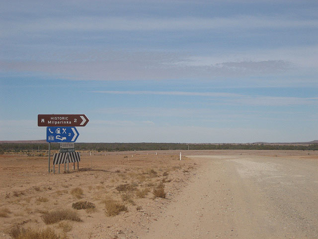 |
Fingerboard sign assembly at the turnoff to Milparinka township, which is located 2km west of the Silver City Highway, 287km north of Broken Hill. Source: Nathan Johnston, May 2005. |
1947 pic of a DMR vehicle traversing the Silver City Hwy across the Gibber Plain north of Milparkina. Source: Department of Main Roads, The Roadmakers, 1976. |
|
 |
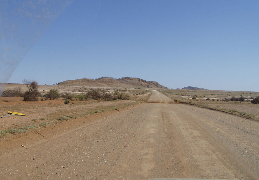
Looking north approximately 300km north of Broken Hill showing a recently sealed section with no line markings. Source: Phillip McCallum, September 2008. |
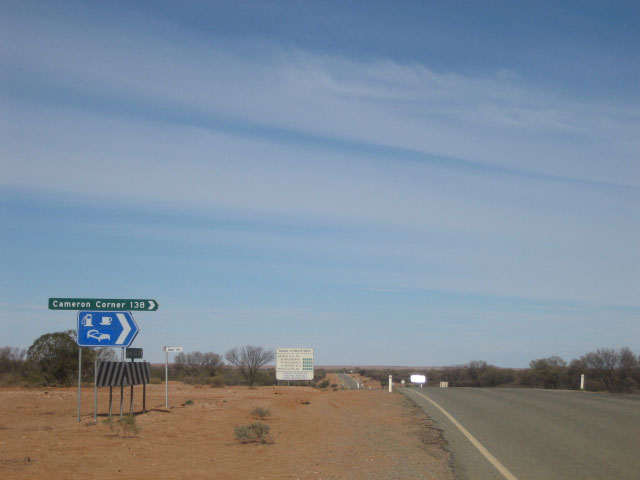 |
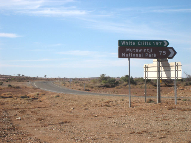
Fingerboard sign assembly at the turnoff to Cameron Corner - the meeting point of the NSW, QLD and SA borders, 2km south of Tibooburra. Source: Nathan Johnston, May 2005. |
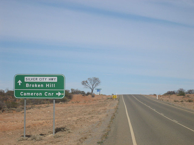 |
Brand-new AD sign southbound on Silver City Highway approaching the turnoff to Cameron Corner, 2km south of Tibooburra. Source: Nathan Johnston, May 2005. |
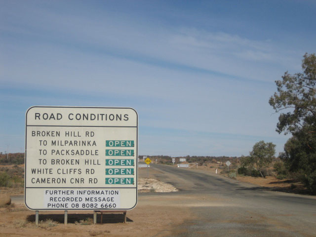 |
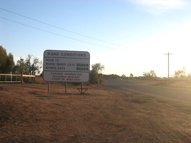
Road conditions sign on Silver City Highway, heading south from Tibooburra. Source: Nathan Johnston, May 2005. |
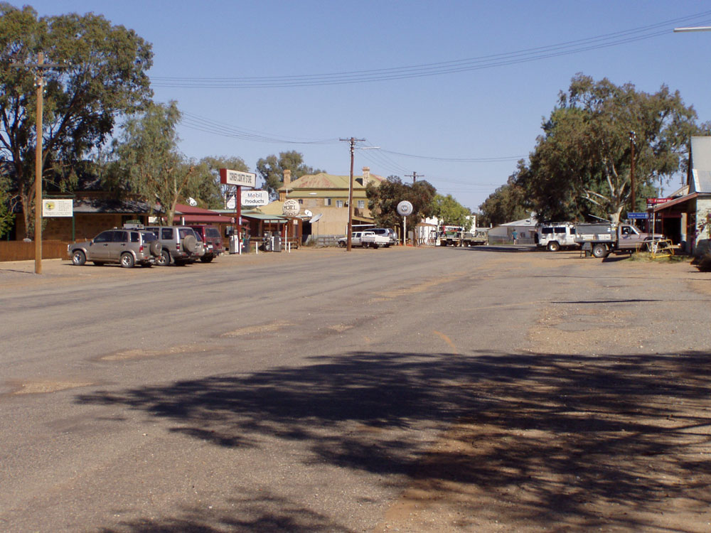 |
Looking south along the Silver City Highway - the main street of Tibooburra. Source: Phillip McCallum, September 2008. |
 |
Road conditions sign on Silver City Highway, heading north from Tibooburra. Note that no indication of road conditions is given for the road beyond the QLD border. Source: Nathan Johnston, May 2005. |
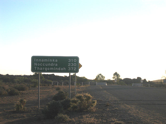 |
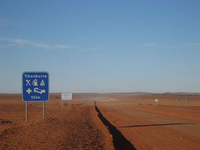
Very late afternoon shot of the RD sign heading north from Tibooburra towards the QLD border. Source: Nathan Johnston, May 2005. |
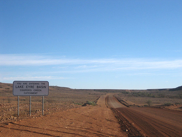 |
Silver City Highway looking south through Sturt National Park, between Tibooburra and the QLD border. Source: Nathan Johnston, May 2005. |
 |
Services RD sign, heading south from the QLD border at Warri Gate. Source: Nathan Johnston, May 2005. |
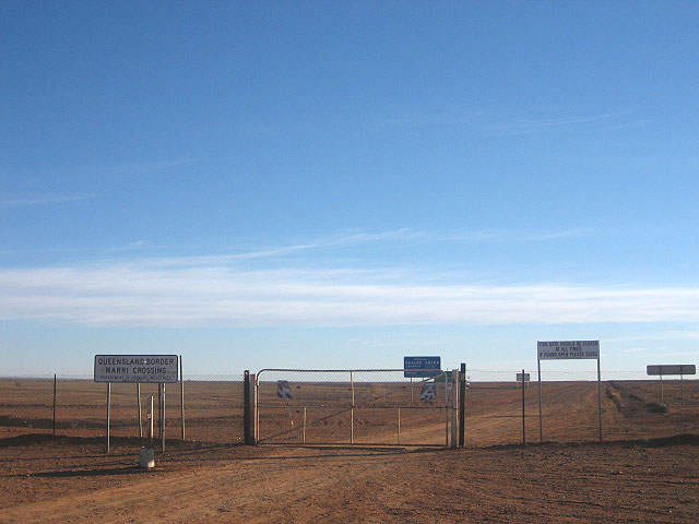 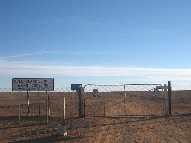 |
Two photos of the NSW/QLD border crossing at Warri Gate, 55km north of Tibooburra. Source: Nathan Johnston, May 2005. |
 |
Signage for northbound travellers just north of the NSW/QLD border at Warri Gate. The Silver City Highway is not matched by a state-controlled road on the Queensland side of the border - travellers must traverse local roads until reaching the Bulloo Developmental Road at Nockatunga, 255km away. Source: Nathan Johnston, May 2005. |
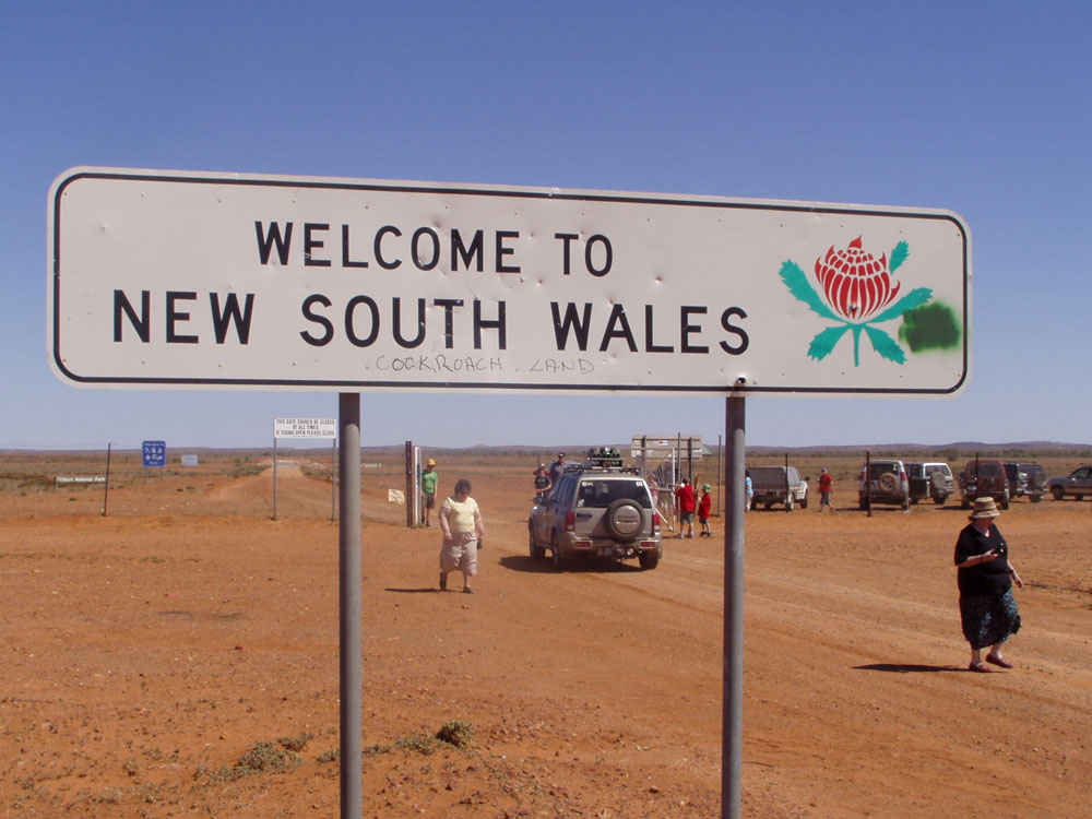  |
For traffic entering from Queensland, there are two border signs. The top photo shows the typical 1990s style border sign, with the waratah. The bottom photo shows the typical signage that was used by the DMR from the 1970s through to the 1990s for minor border crossings. Source: Phillip McCallum, September 2008. |
Last updated 6 December 2010 © Ozroads 2004-2010. |