National Route 39 Decommissioned section: Tocumwal to Goondiwindi |

Remnant National Route 39 shield on distance sign heading south from Goondiwindi. Jan 2005.
From its introduction in 1960 until the proclamation of the Newell Highway as part of the National Highway in November 1992, National Route 39 traversed the entire length of the Newell Highway in New South Wales. There are still several remnant National Route 39 shields on the Highway and many other NR39 shields that were installed erroneously after November 1992. The following photos showcase fair dinkum remnant National Route 39 shields.
 |
NR39 shield on distance sign heading north approaching the bridge over the MacIntyre River which marks the border of NSW and QLD. Jan 2005. |
 |
Fantastic relic showcasing old NR39 shield and upper case lettering, heading south approaching the Bruxner Hwy junction in Boggabilla.. Jan 2005. |
 |
Black AD sign nb in Boggabilla approaching the Bruxner Hwy. Jan 2005. |
 |
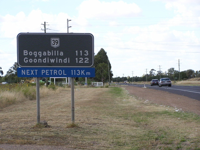
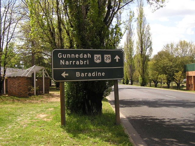
Distance sign heading south from Boggabilla. Jan 2005. |
 |
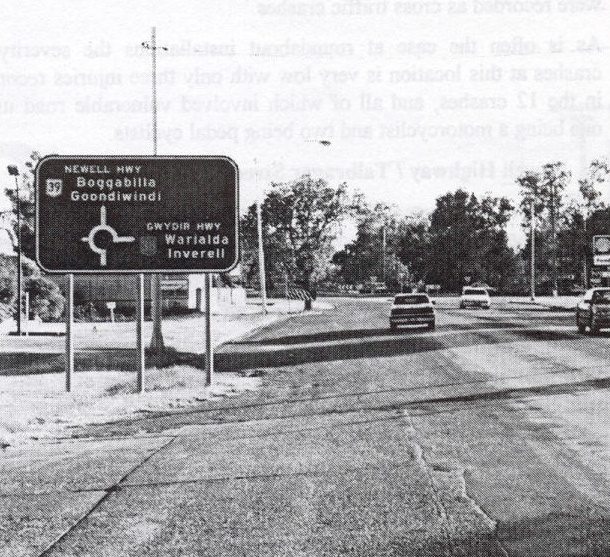
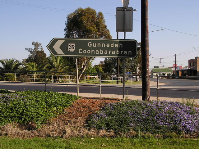
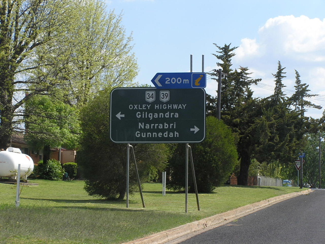
Distance sign heading north from Moree. April 2006. |
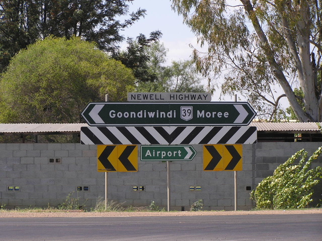 |
Double chevron ID sign at the Carnarvon Hwy junction in Moree. Oct 2004. |
 |
NR39 shield and incorrect NH38 shield in Moree, 1994. (NRMA) |
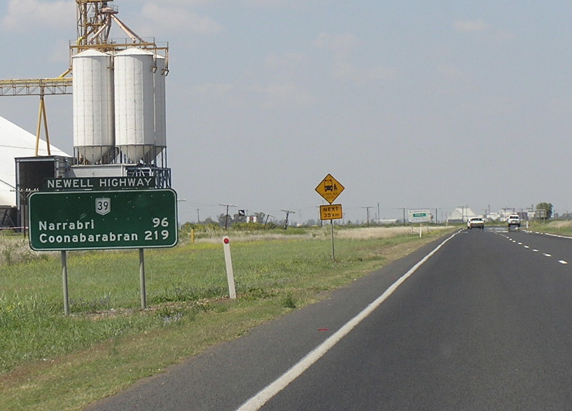 |
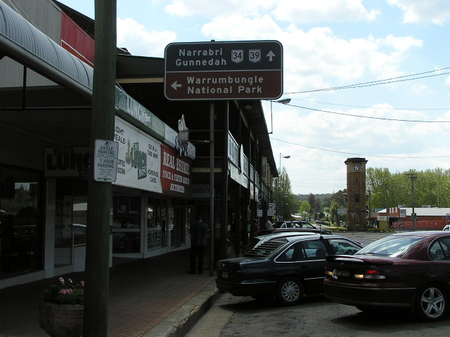
Distance sign heading south from Moree. Oct 2004. |
 |
Black ID sign at the intersection of Tibbereena St & Dangar St, Narrabri. Oct 2004. |
 |
NR39/NR34 trailblazers on Chappell Ave, Coonabarabran. These are extremely rare and probably date from the 1960s when both routes were first signed. Oct 2004. |
 |
More NR39/NR34 trailblazers, across the road from the above photo. Oct 2004. |
 |
Great black AD sign northbound approaching Baradine St, Coonabarabran. Oct 2004. |
 |
I'm surprised this one is still here, given that a new AD sign has been erected right in front of it. John St & Dalgarno St, Coonabarabran. Oct 2004. |
 |
Great black AD showcasing old NR39 shield and old 'Oxley Hwy' name in upper case lettering. On Edwards St, Coonabarabran. Oct 2004. |
 |
AD sign northbound at Edwards Street. Oct 2004. |
 |
Unusual that one NR39 shield was coverplated on this AD sign but not the other. Castlereagh Hwy southbound in Gilgandra. Oct 2004. |
 |
Very old NR39 ID sign pointing from Mitchell Hwy into Darling St - the former alignment of Newell Hwy - in Dubbo. Oct 2004. |
 |
Same interesction, this time facing westbound traffic. Oct 2004. |
 |
Dalton St (SR90) eastbound approaching the former alignment of Newell hwy (Clarinda St/Welcome St) in Parkes. Oct 2004. |
 |
This NR39 ID sign at the Clarinda St/Welcome St/Dalton St intersection in Parkes is so old that the white reflectorised paint has faded so much it is darker than the painted standard green background. A great find! Oct 2004. |
 |
Similar vintage sign at the same intersection. This one probably didnt fade as much because of its different angle to the sun. Oct 2004. |
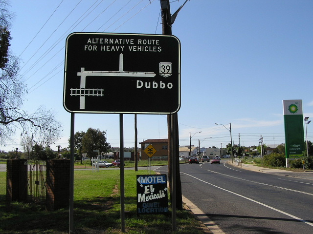 |
Great old black diagrammatic black AD sign on Forbes St northbound approaching Grenfell St, Parkes. While this sign is on the Newell Hwy, it incorrectly shows the highway via Grenfell St, when in 2002 it was redeclared to follow Bogan St (shown as "Alternative Route for Heavy Vehicles" on this sign). Oct 2004. |
 |
National Route 39 distance sign on the old alignment of Newell Highway at Tocumwal. Feb 2006. |
Back to Highway 39
Back to Newell Highway
Back to NSW National Routes