PRINCES HIGHWAY
Former Alignment: Dunmore to Bombo
The Princes Highway is soon to bypass the suburbs on the north side of Kiama, namely Bombo, Kiama Downs and Minnamurra. The bypass project is known as the North Kiama Bypass and is scheduled to open late 2005, presumably in time for Christmas. The existing highway is set to be renamed Riverside Drive according to signage in Kiama Downs.
The bypass was first proposed in 1986 when the Department of Main Roads decided not to widen the existing highway following an Environmental Impact Statement. During 1990 an extensive route study was undertaken to determine possible routes for the Princes Highway through the area. In 1991 an EIS was completed for the North Kiama Bypass and another updated one was exhibited in 1996. A Commission of Inquiry was needed to consider the project due to some zoning issues but finally, in July 1997, the North Kiama Bypass was given planning approval.
With a start yet to be made due to a lack of funding, in January 2001 the Bypass was declared a Road of National Importance by the Federal Government who then contributed $34 million for construction. Construction was commenced in February 2001, consisting of the bridge across Terragong Swamp (Minnamurra River) to act as a haul route for the rest of the project. The bridge was completed in January 2003 and the final stage works were commenced in November of that year. The existing highway at Bombo Railway Station was closed to traffc in March 2005, and 2-way highway traffic began using the southbound carriageway between Bombo and the existing highway at Kiama Downs.
The $179 million bypass was officially opened on 26 November 2005, with traffic beginning to use the new road on November 28.
Photos of the former alignment: Dunmore to Bombo |
|
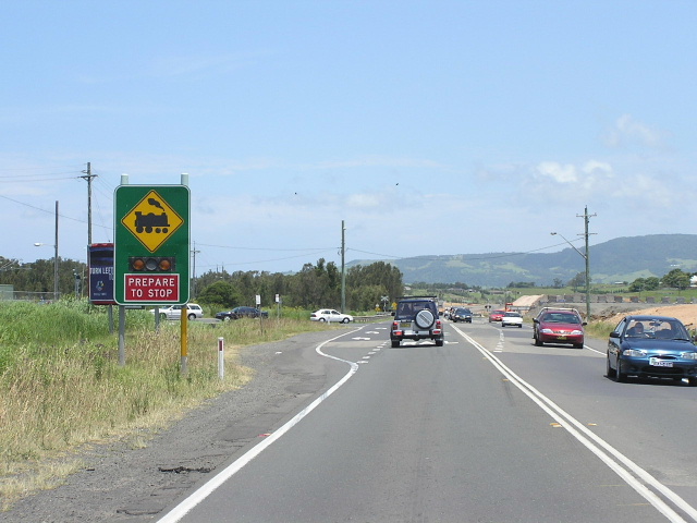 |
Looking south approaching Shellharbour Road. Dec 2004. |
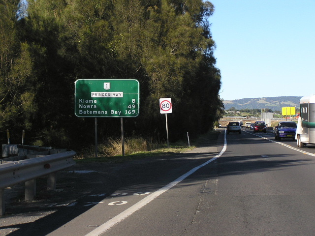 |
National Route 1 shield on distance sign heading south from Shellharbour Road. Dec 2004. |
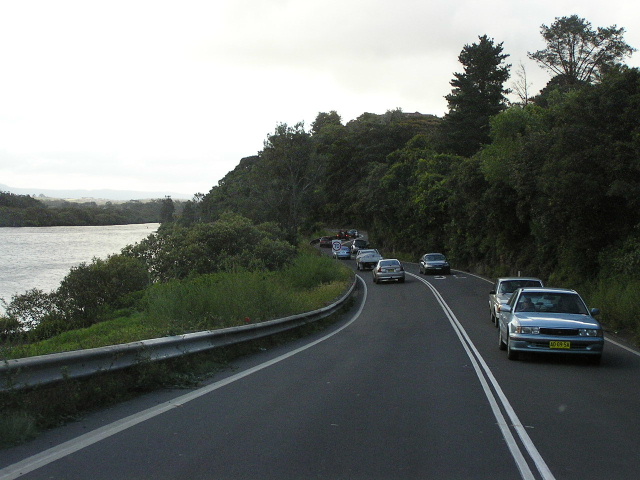 |
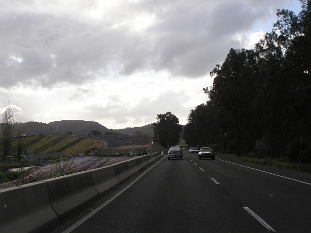
Looking north on the old highway adjacent to Minnamurra River. Mar 2005. |
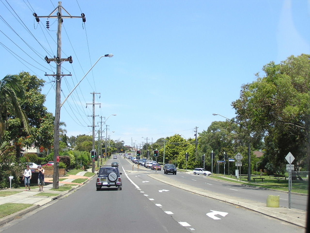 |
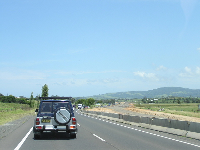
Looking south to Meehan Drive, Kiama Downs. Dec 2004. |
 |
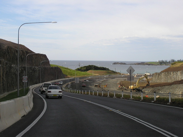
Looking south towards Bombo Beach with Kiama in the background. Dec 2004. |
|
Photos of construction of the North Kiama Bypass |
|
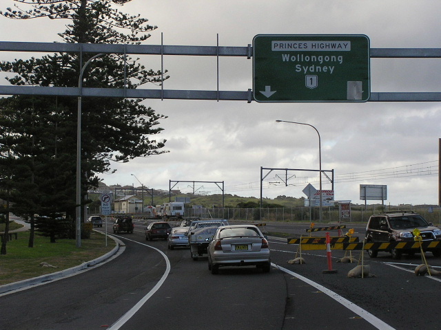 |
Gantry signage installed in preparation for the northbound offramp at Panama Street, Bombo. Mar 2005. |
 |
Looking north at Riddell St, showing the old highway going off to the right. Mar 2005. |
 |
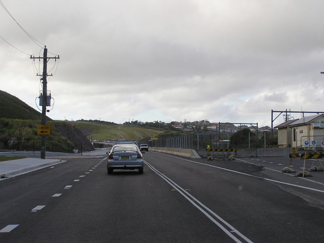
Looking north just north of Panama Street. For the moment the Princes Highway uses the southbound carriageway between Bombo Quarry and Kiama while the bypass is being completed. Mar 2005. |
 |
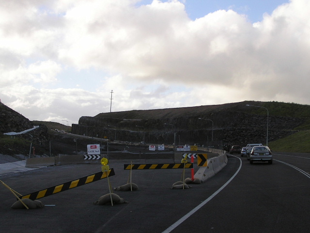
Looking north on the southbound onramp at the Bombo Quarry interchange under construction. Mar 2005. |
 |
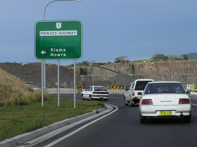
Looking south where the Nortk Kiama Bypass joins the existing highway at Dunmore. Dec 2004. |
 |
Looking north on the old highway showing the formation for the Swamp Road interchange ramps. Mar 2005. |
 |
Signage at the Bombo Quarry Interchange. The covered section most likely says Wollongong/Sydney -->. Apr 2005. |
 |
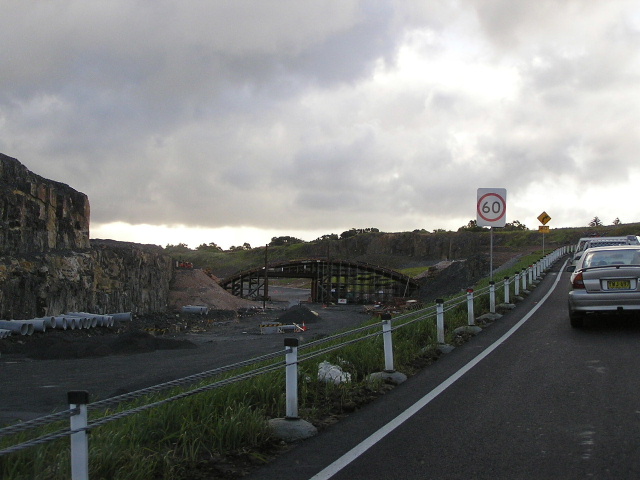
Looking south from the Bombo Quarry Interchange. Apr 2005. |