MONARO HIGHWAY
Former Alignment: Nimmitabel to Tea Gardens
Originally part of State Highway No. 4 (Snowy Mountains Highway), this original alignment was redeclared part of State Highway No. 19 (Monaro Highway) on 9 September 1955. It remained part of the Monaro Highway for 17 years, until 7 July 1972 when both the Monaro & Snowy Mountains Highway descriptions were altered to include the new route of the Monaro Highway between Nimmitabel and Tea Gardens.
This former section of the highway was unsealed when the bitumen reached Nimmitabel in the 1960s and, on top of this, was narrow, winding, crossed the railway line twice and had two other timber bridges along its course - the most notable of these two bridges crossed the MacLaughlin River. As part of the continuing programme of reconstruction on the Snowy Mountains and Monaro Highways, the Department of Main Roads decided to relocate the Monaro Highway to the eastern side of the railway line, along the line of the Snowy Mountains Highway which would be realigned and reconstructed. A 1km connection was built to link the Monaro Hwy with the Snowy Mountains Hwy, 10km south of Nimmitabel. Construction of the deviation was completed in December 1968.
The old alignment is now known as Old Bombala Road and remains unsealed along its entire length. No signage remains (if there was any to begin with!) however all the original bridges and culverts are still trafficable.
Photos of the former alignment of Monaro Hwy: Nimmitabel to Tea Gardens |
|
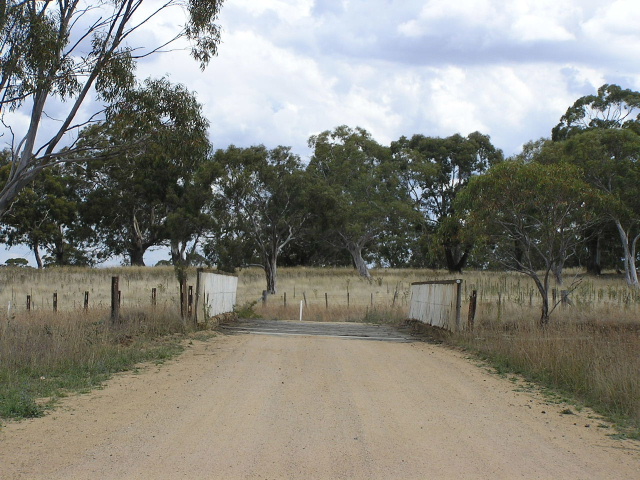 |
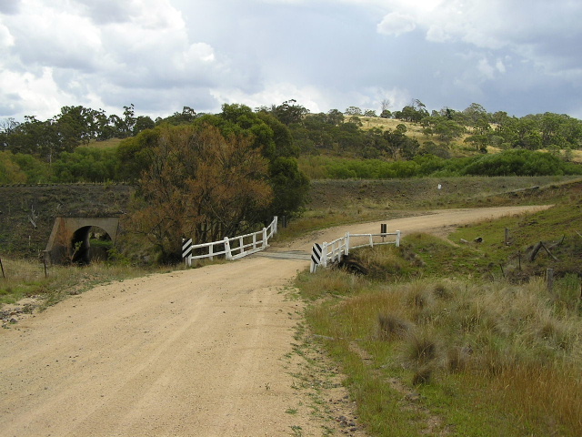
Looking south across a timber bridge over the now disused Queenbeyan-Bombala railway line. Feb 2006. |
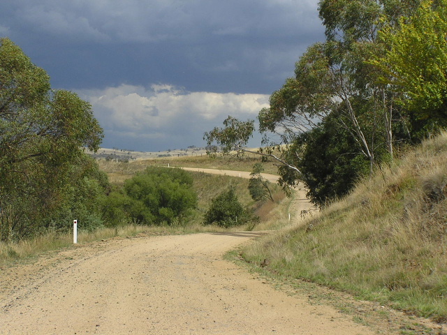 |
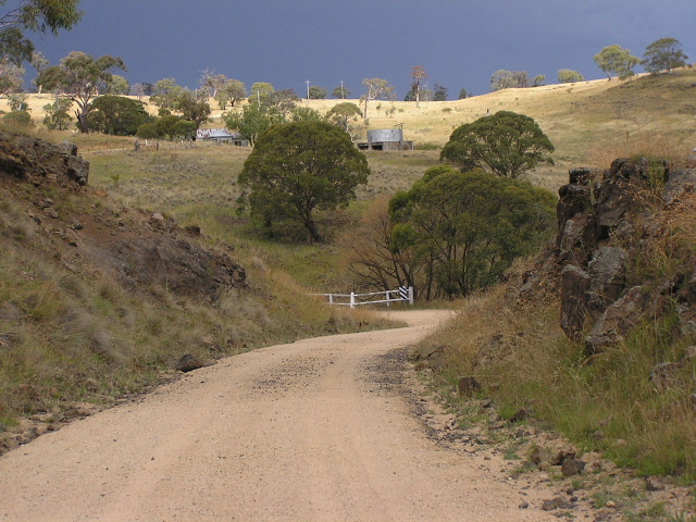
Typical view of the old highway alignment, southbound approaching the MacLaughlin River. Feb 2006. |
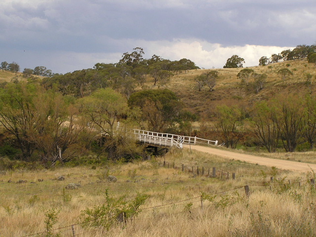 |
The old timber bridge over the MacLaughlin River. Feb 2006. |
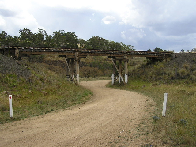 |
Looking north to an old timber rail subway on a poor alignment, 500m south of the MacLaughlin River. Feb 2006. |
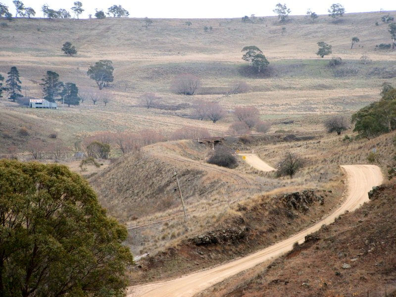 |
A broader view of Old Bombala Rd on its approach to the rail subway under the now disused Queanbeyan-Bombala rail line. May 2006. (Ben Johnson) |
 |
Looking south through a hand-carved rock cutting. Feb 2006. |
 |
Looking north to the a small timber bridge over an unnamed watercourse. The now disused Queenbeyan-Bombala railway line is in the background. Feb 2006. |