MONARO HIGHWAY
Former Alignment: Bombala to Delegate River
Scan of a 1970s map of Victoria, showing Monaro Hwy along its original alignment - connecting with the Bonang Highway. (Viseth Uch)
Upon declaration in March 1938 the Monaro Highway was routed from Bomabala to the Victorian Border near Delegate River via Delegate. This routing ensured connectivity with the Victorian state highway system - namely the Bonang Highway. Following the declaration of the Cann Valley Highway in Victoria the decision was made the re-route the Monaro Highway to meet it at the Victorian Border, 44km north of Cann River. The highway was re-gazetted in December 1977.
The old highway is, for the most part, an excellent highway standard road. West of Delegate the quality drops and culminates in an undulating 7km section of unsealed road before crossing the Delegate River on a one-lane timber bridge at the Victoria Border. The only remnants of the Monaro Highway are a few black kilomtere posts for Orbost.
Photos of the former alignment of Monaro Hwy: Bombala to Delegate River |
|
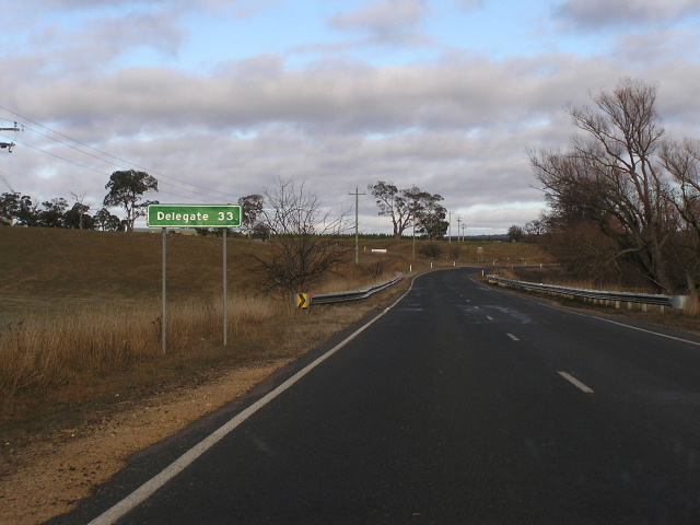 |
Distance sign heading west from the Monaro Highway junction. Note there is no mention of any destinations past Delegate, discouraging through traffic on the much lower standard Bonang Road. July 2005. |
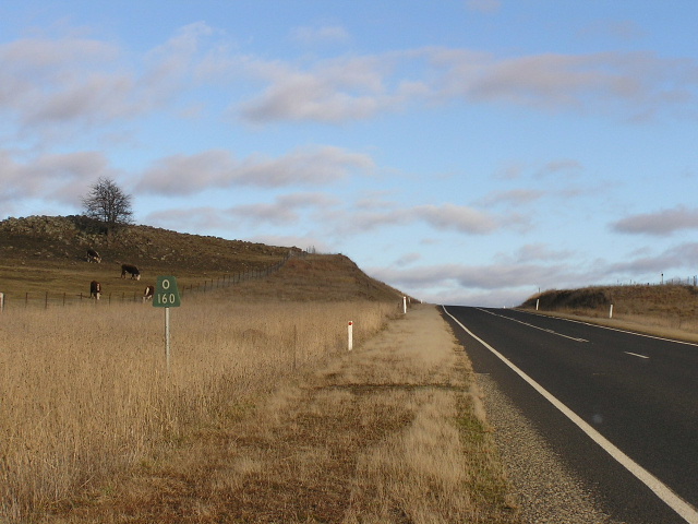 |
Very old 'O160' kilometre plate between Bombala and Delegate. It is quite amusing that these remain, even though signage does not mention Orbost until Delegate. July 2005. |
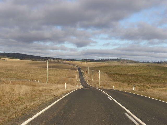 |
Typical view of the undulating country between Bombala and Delegate. July 2005. |
 |
Another Orbost kilometre plate between Bombala and Delegate. July 2005. |
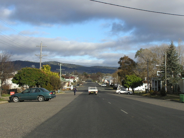 |
Looking west through the town of Delegate. July 2005. |
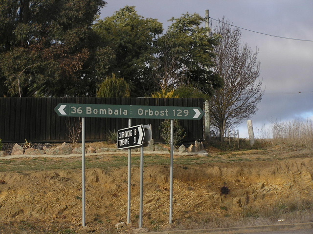 |
Black fingerboard signage on the western outskirts of Delegate. July 2005. |
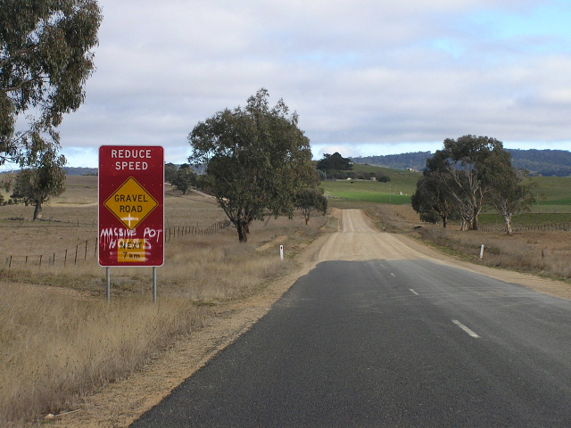 |
The beginning of the unsealed road, west of Delegate. July 2005. |
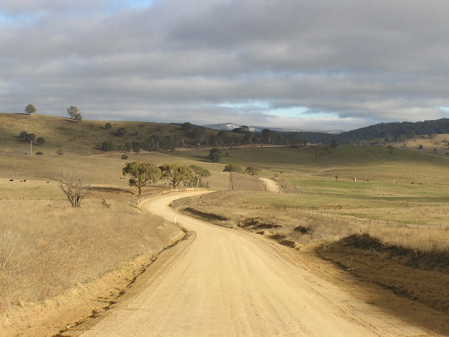 |
Great view of the dirt road through undulating country west of Delegate. July 2005. |
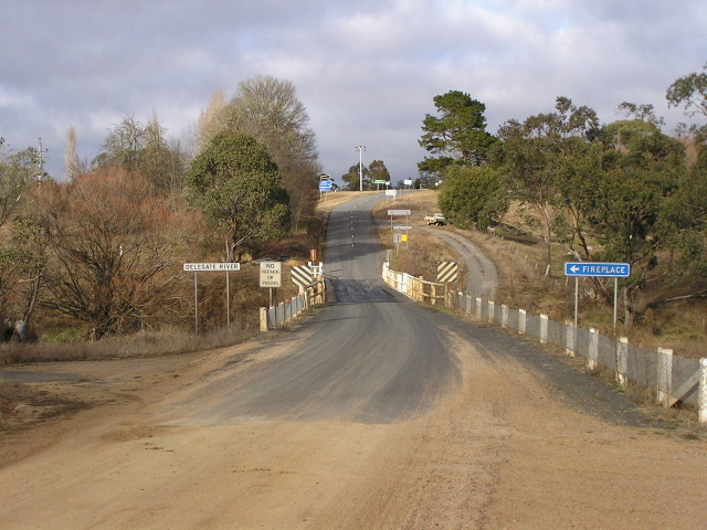 |
Looking south across the Delegate River towards the Victorian border. July 2005. |
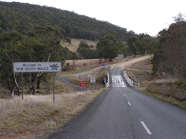 |
Looking north into New South Wales. July 2005. |