MORSHEAD DRIVE &
PIALLIGO AVENUE
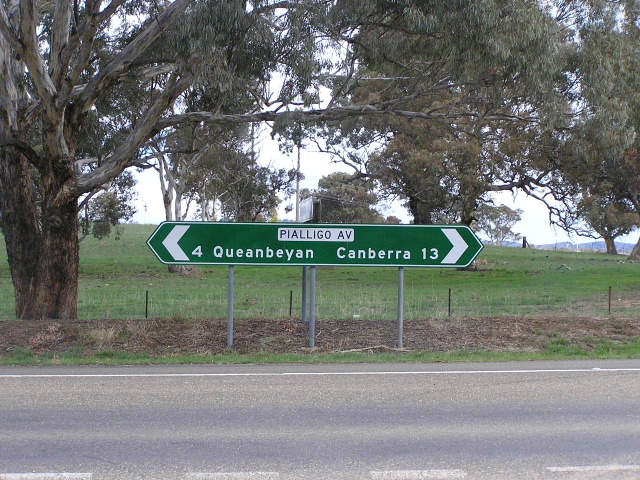
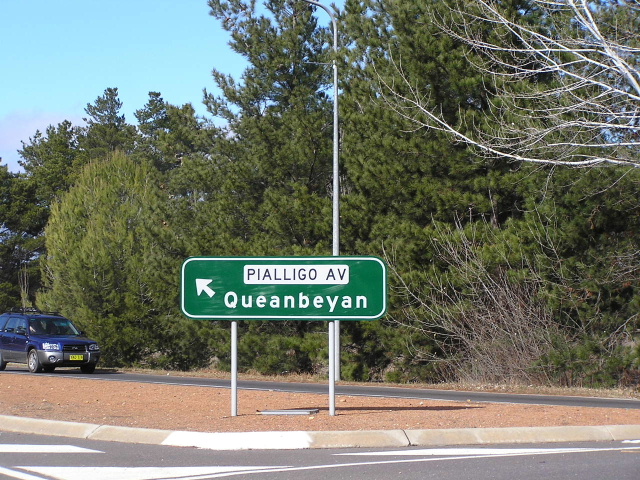
Pialligo Avenue ID sign between Sutton Rd and Canberra Airport, October 2004.
Length: 10km
Western Terminus: Parkes Way & Kings Ave, Russell
Eastern Terminus: Yass Rd & Sutton Rd, Queanbeyan
Focal Points: Canberra (City), Queanbeyan
Route Overview:
Morshead Drive and Pialligo Ave combine to form a major east-west link between Queanbeyan, Canberra Airport and the Canberra CBD. These two roads are a natural eastrly continuation of Parkes Way, which ends at Kings Ave. Construction of Morshead Drive began in the 1960's when Lake Burley Griffin was constructed, while Pialligo Ave was reconstructed from a track established well before the 1930s. Construction of the route as it is today was completed by 1971.
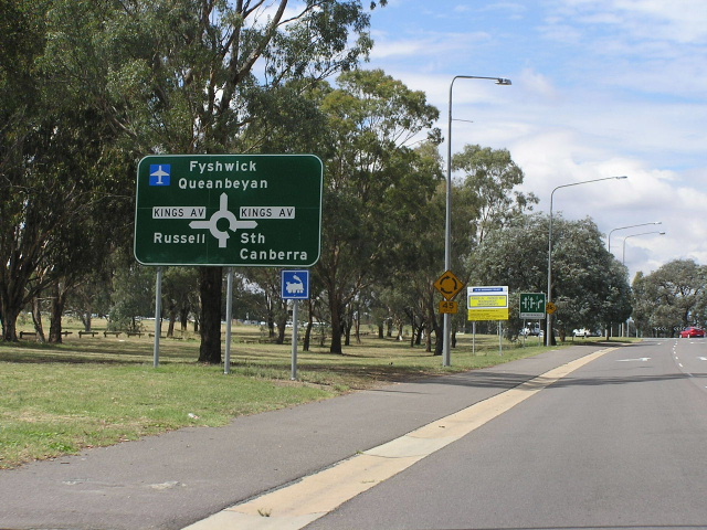
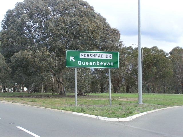
Photos of Morshead Dr & Pialligo Ave |
|
 |
Parkes Way eastbound approaching the roundabout where its name changes to Morshead Dr. Feb 2006. |
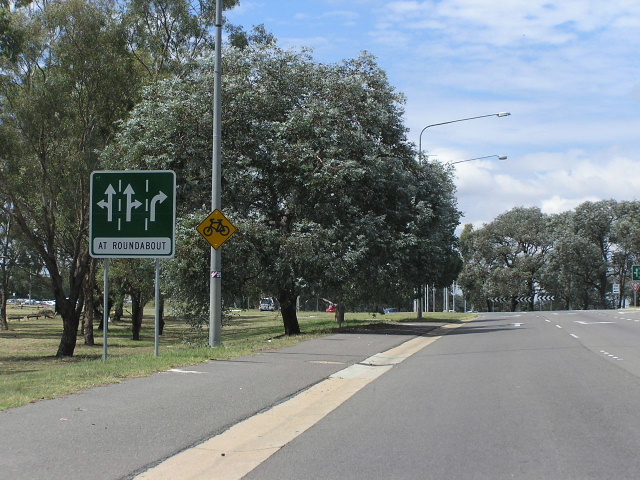 |
Lane allocation signage installed following the addition of a third lane on the eastbound approach to this roundabout in April 2005. Feb 2006. |
 |
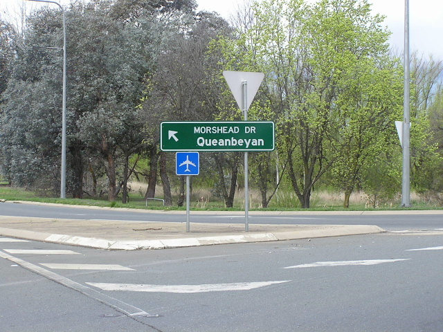
1st Morshead Dr ID sign at Kings Ave. Photo taken October 2004. |
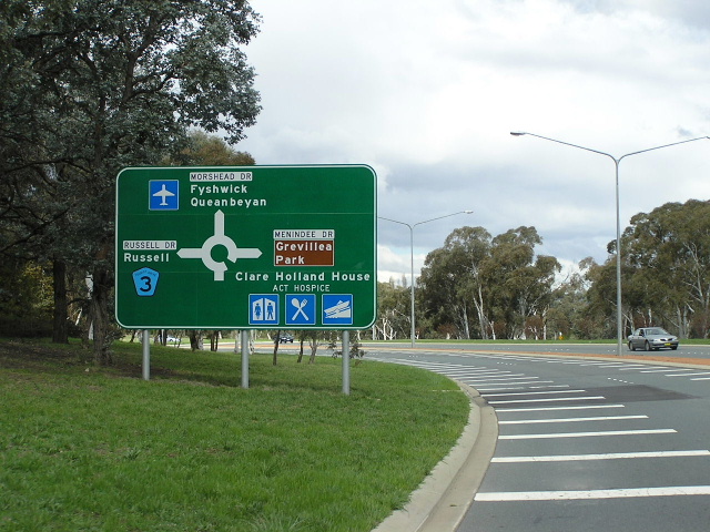 |
Eastbound approaching Russell Dr & Menindee Dr. Photo taken October 2004. |
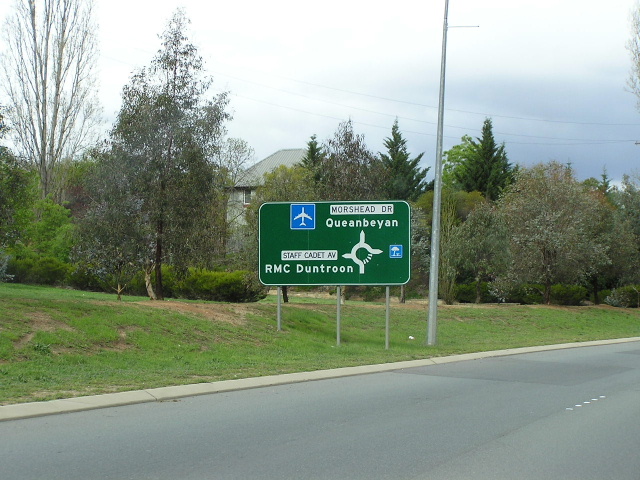 |
Eastbound approaching Staff Cadet Ave, the entracne to the Royal Military College, Duntroon. Photo taken October 2004. |
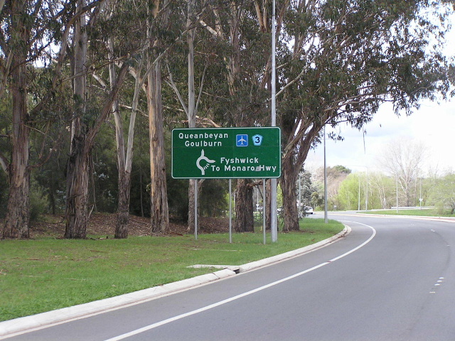 |
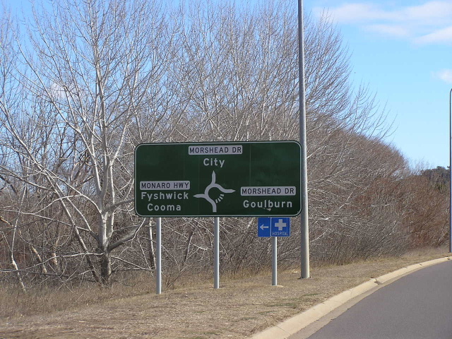
Eastbound approaching Dairy Rd which connects directly to the Monaro Hwy. Photo taken October 2004. |
 |
Early 1990's style ID sign at Dairy Rd. Photo taken October 2004. |
 |
Westbound approaching the Monaro Hwy roundabout. This is where Pialligo Ave begins. Photo taken October 2004. |
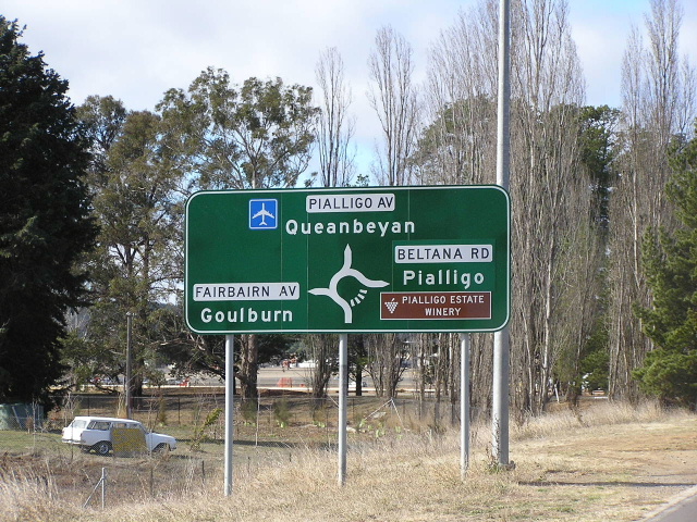 |
Eastbound approaching Fairburn Ave & Beltana Rd. Photo taken October 2004. |
 |
ID sign at Fairburn Ave roundabout. Photo taken October 2004. |
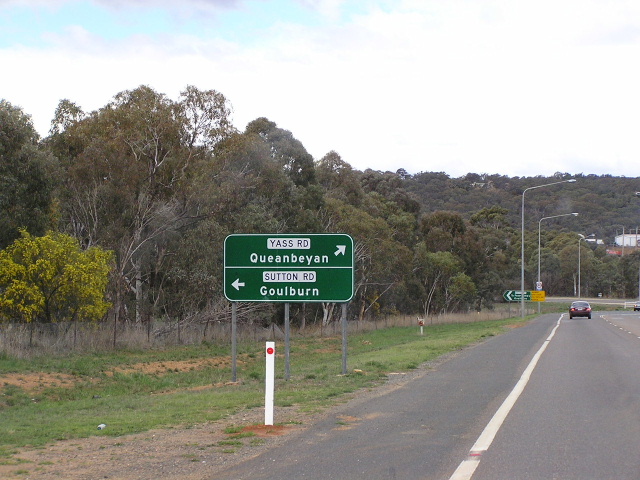 |
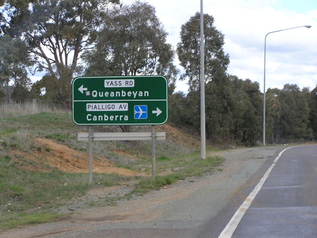
Eastbound approaching Pialligo Ave's eastern terminus at Yass Rd & Sutton Rd. Photo taken October 2004. |
 |
Westbound on Yass Rd approaching the start of Pialligo Ave. Photo taken October 2004. |
 |
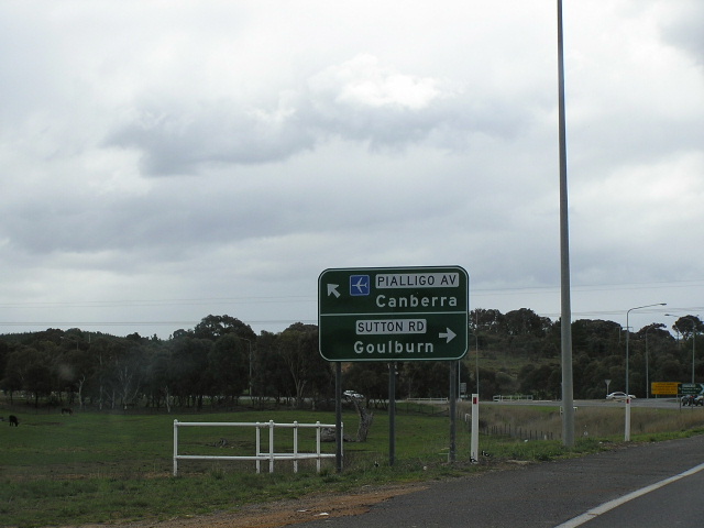
Southbound on Sutton Rd approaching the start of Pialligo Ave. Photo taken October 2004. |