NATIONAL ROUTE 23
Monaro Highway (ACT Section)
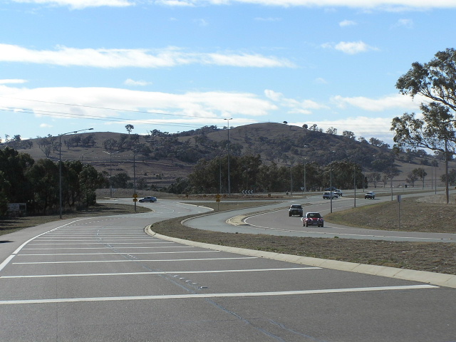
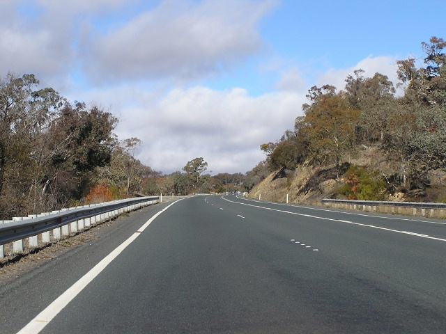
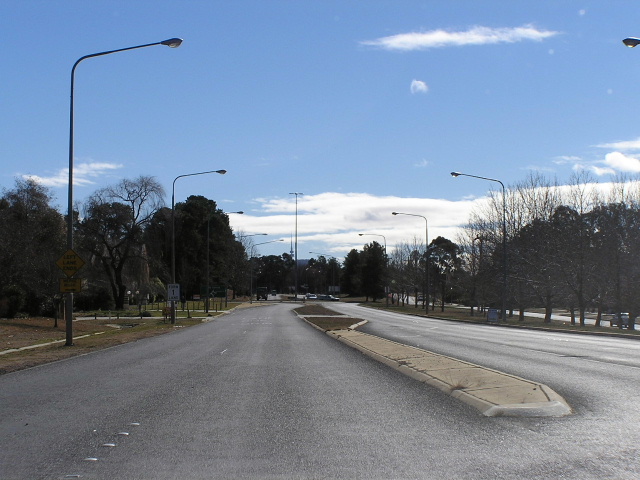
Northbound approaching the Isabella Drive roundabout, July 2004.
Route Overview:
South of Canberra Ave, the Monaro Hwy carries the NR23 shield. North of Canberra Ave, it continues for 4km as Alt-23 until it reaches the Molonglo River. The NR23 section is dual carriageway north of Tharwa Dr and 3 lanes most of the way to the NSW border near Williamsdale. The Monaro Hwy was duplicated during the late 1980's and early 1990's including a major extension from Tharwa Rd (now Lanyon Dr) to Canberra Ave in 1989 that bypassed Jerrabomberra Ave and Sturt Ave. Late extensions have seen the Monaro Hwy through to the Molonglo River as part of the Alt-23 route.
The highway contains two large radius roundabouts at Isabella Dr and Tharwa Dr, both of which are bypassed by southbound traffic. It is also conveniant that the highway skirts the eastern boundary of the ACT, meaning it will not be overrun by development. Between Tharwa Dr and Canberra Ave Tourist Drive 5 is duplexed with NR23.
Notable events in the history of Monaro Hwy:
1980 - Dual-carriageway deviation around the planned suburb of Gilmore
1989 - Extension north from Lanyon Dr to Canberra Ave
Further reading (on-site):
Alt-23 - Monaro Hwy/Majura Rd
Photos of NR23 - Monaro Hwy |
|
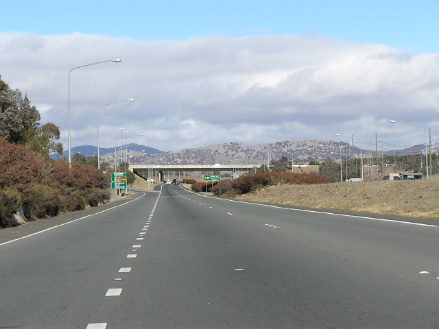 |
Looking south to Hindmarsh Drive. Photo taken July 2004. |
 |
Westbound on Hindmarsh Dr approaching Monaro Hwy interchange. Photo taken July 2004. |
 |
Looking south on Monaro Hwy at Hindmarsh Dr. Photo taken July 2004. |
 |
Monaro Hwy ID sign at Hindmarsh Dr. Photo taken July 2004. |
 |
Monaro Hwy ID sign at Hindmarsh Dr. Photo taken July 2004. |
 |
Northbound at Hindmarsh Dr. Photo taken July 2004. |
 |
Monaro Hwy ID sign eastbound on Hindmarsh Dr. Photo taken July 2004. |
 |
Westbound on Hindmarsh Dr approaching Monaro Hwy. Photo taken July 2004. |
 |
Southbound from Hindmarsh Drive. Photo taken July 2004. |
 |
Northbound from Lanyon Drive, Hume. Photo taken July 2004. |
 |
Lanyon Dr westbound approaching Monaro Hwy. Photo taken July 2004. |
 |
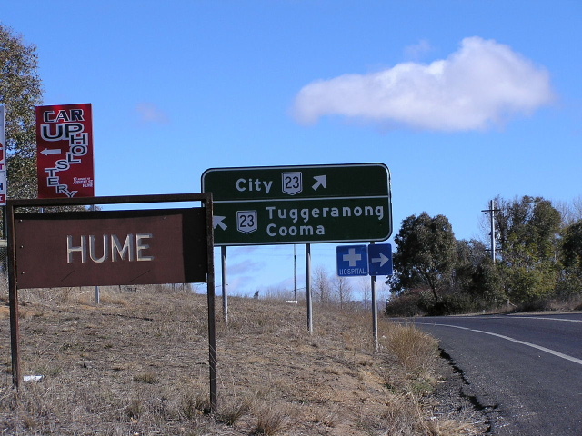
Lanyon Dr at Monaro Hwy. Photo taken July 2004. |
 |
ID sign at Sheppard St, Hume. Photo taken July 2004. |
 |
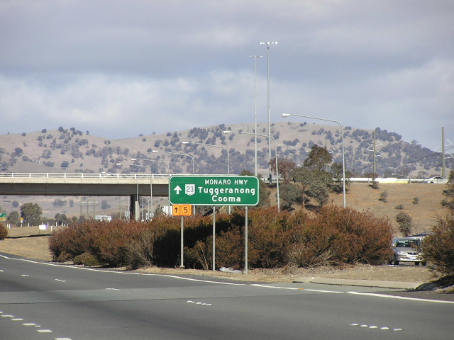
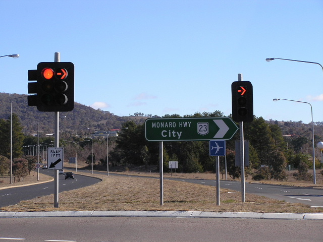
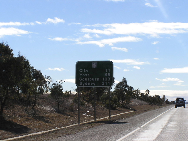
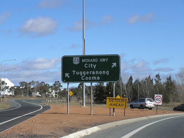
Distance sign northbound from Isabella Drive. Photo taken July 2004. |
 |
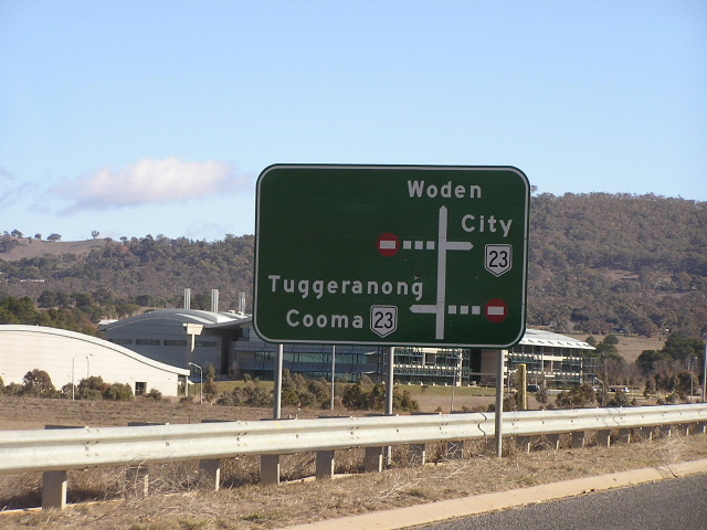
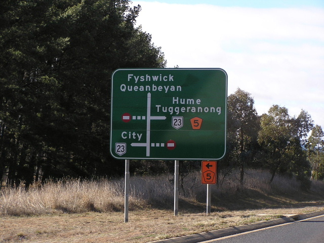
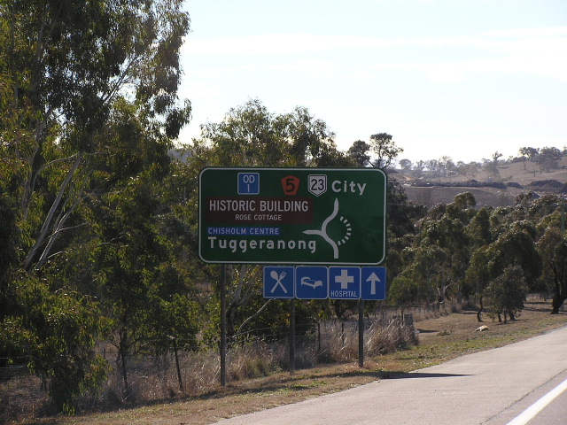
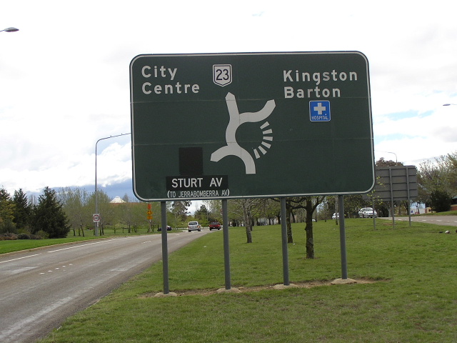
Interesting design for this AD sign at Isabella Drive. Photo taken July 2004. |
 |
Isabella Drive approaching Monaro Hwy. Photo taken July 2004. |
 |
Northbound approaching Isabella Drive. Photo taken July 2004. |
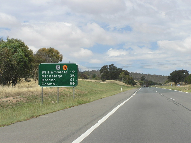 |
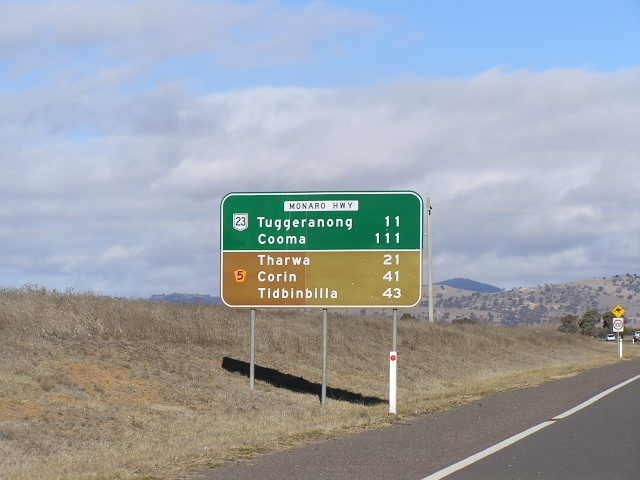
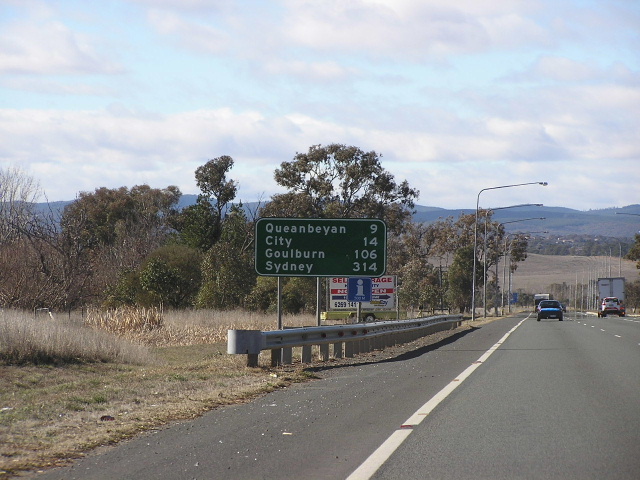
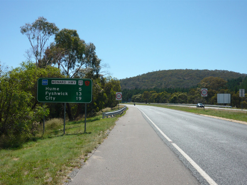
Distance sign southbound from Isabella Dr, the last one in the ACT. Photo taken Feb 2006. |
 |
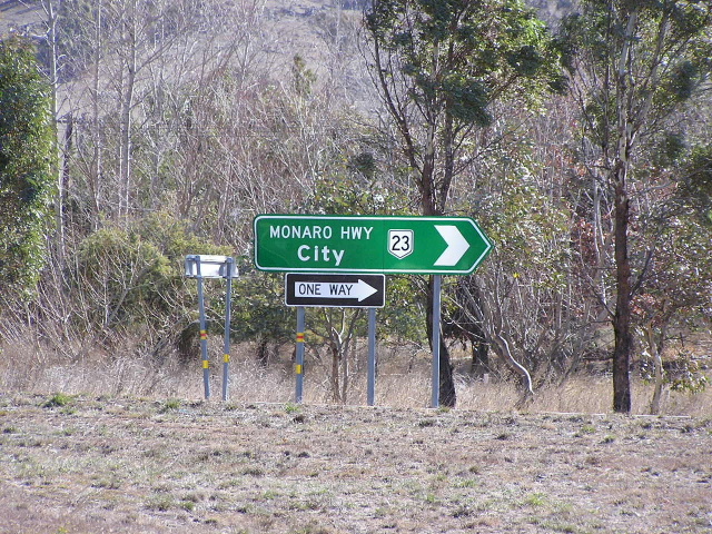
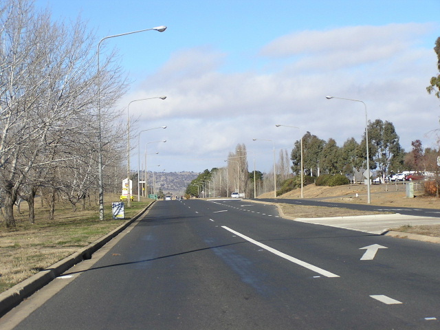
Looking north to Isabella Drive. Photo taken July 2004. |
 |
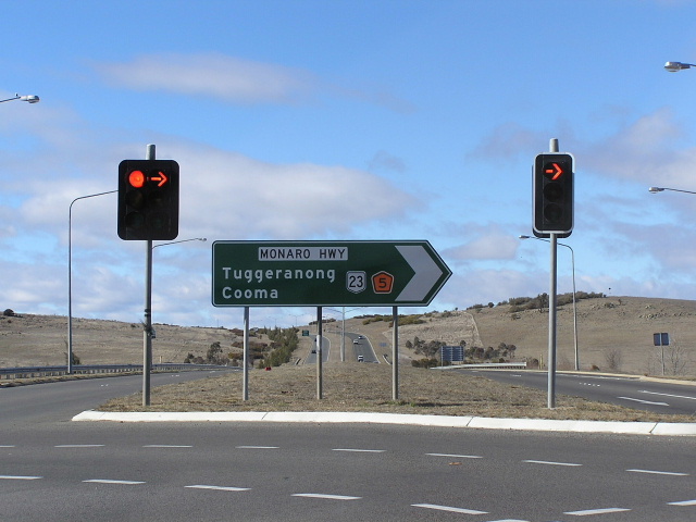
Southbound appraoching Tharwa Drive. Photo taken July 2004. |
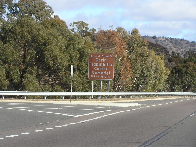 |
Non-releftive painted brown AD sign for Tourist Drive 5. Note that TD5 is worded rather than shown with a shield. Photo taken July 2004. |
 |
Tharwa Dr approaching the Monaro Hwy. Photo taken July 2004. |
 |
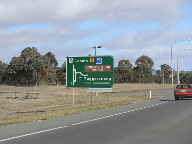
Monaro Highway looking north from Tharwa Drive. Source: Andrew Ison, January 2009. |
 |
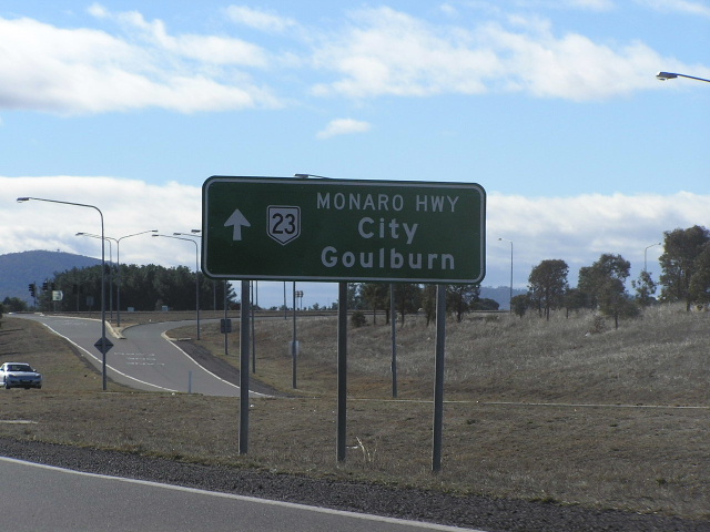
Northbound approaching Tharwa Drive. Photo taken July 2004. |
 |
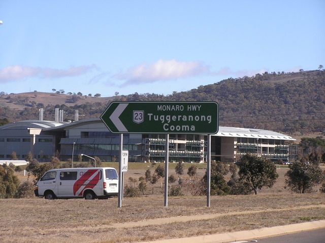
Southbound between Tharwa Dr and Old Cooma Rd. Photo taken July 2004. |
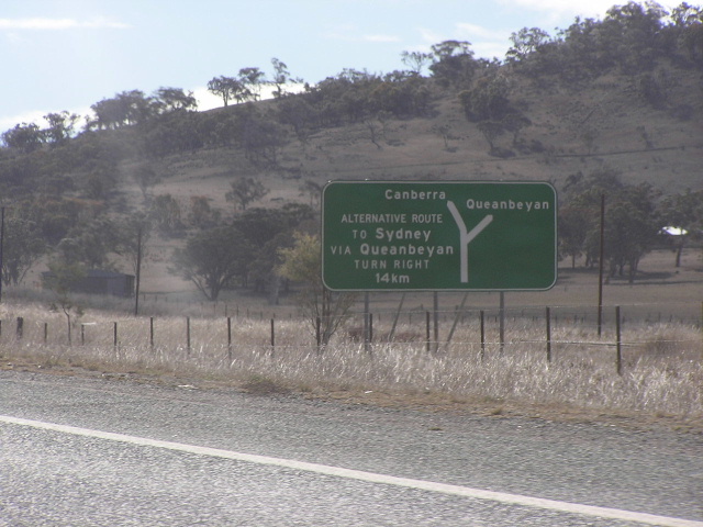 |
Northbound near Royalla. This sign is placed in the railway reservation, which the NSW Government owns, presumably because such a sign would deter motorists from passing though Canberra. Photo taken July 2004. |
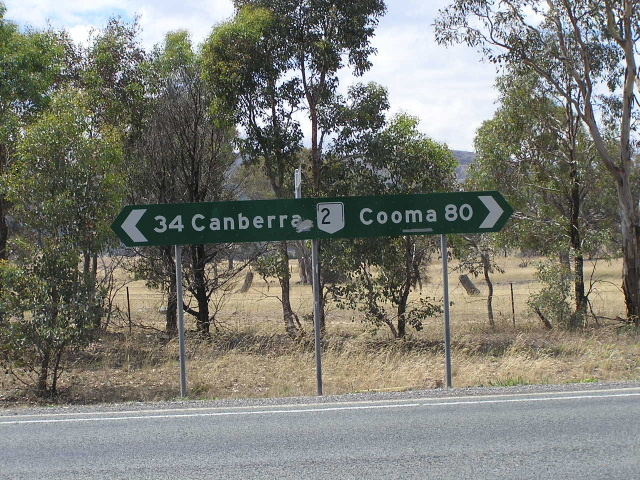 |
Fingerboard sign with peeling legend at Angle Crossing Rd, Williamsdale. Feb 2006. |
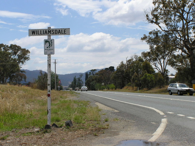 |
Looking north into Williamsdale. Feb 2006. |
Photos of the fomer alignment: Jerrabomberra Ave/Sturt Ave |
|
 |
Jerrabomberra Ave northbound from Goyder St, Narrabundah. Photo taken July 2004. |
 |
Jerrabomberra Ave southbound to Hindmarsh Dr, Narrabundah. Photo taken July 2004. |
 |
Two views of the only remnant of NR23 on Jerrabomberra/Sturt Avenues. This sign is on Canberra Ave and you can clearly see the coverplates covering 'NR23' and 'Cooma' to the left. Photo taken July 2004. |
Last updated 26 March 2011 © Ozroads 2004-2011. |