NATIONAL ROUTE 23
Commonwealth Ave section
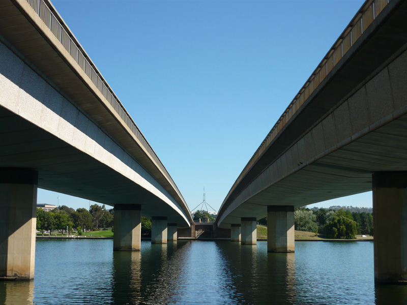
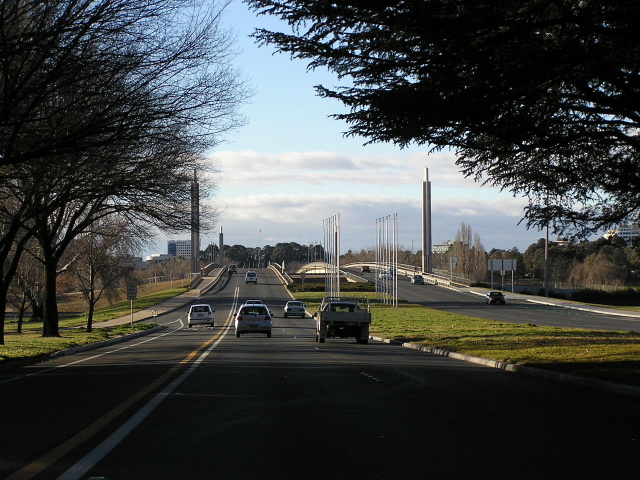
Looking south between the twin bridges which carry Commonwealth Avenue over Lake Burley Griffin. Source: Andrew Ison, January 2009.
Length: 2km
Northern Terminus: Vernon Circle, Canberra
Southern Terminus: Capital Circle, Capital Hill
Route continuation: NR23 continues north as Northbourne Ave and south as Capital/State Circles.
Focal Points: City Centre, Woden/Queenbeyan/Cooma
Route Overview:
Commonwealth Ave is the backbone of road transport in Canberra, crossing Lake Burley Griffin from the CBD to Parliament House. The route was constructed properly in the 1930's, prior to then the road had existed as no more than a track. When the lake was constructed in the 1960's the spectacular twin bridges were constructed, opening to traffic in November 1963. It was at this time that the entire road was duplicated.
Photos of NR23 - Commonwealth Ave section |
|
 |
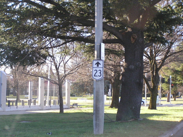
Looking south from London Circuit. Photo taken July 2004. |
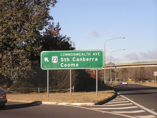 |
ID sign on Parkes Way for Commonwealth Avenue. Photo taken July 2004. |
 |
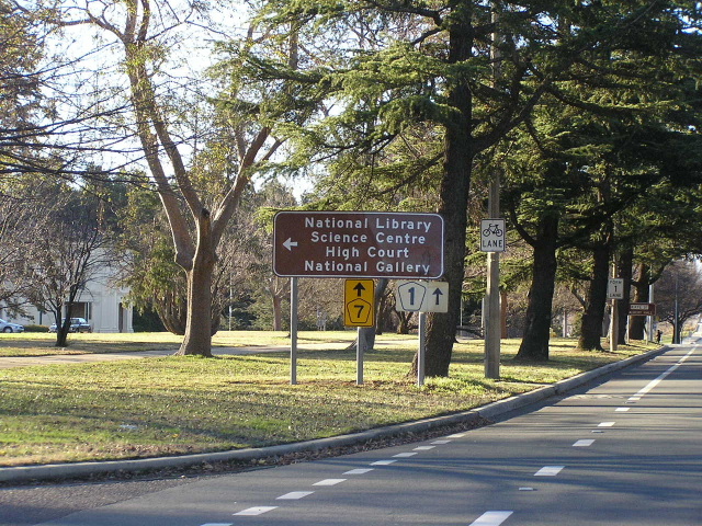
Northbound approaching Parkes Way. Photo taken July 2004. |
 |
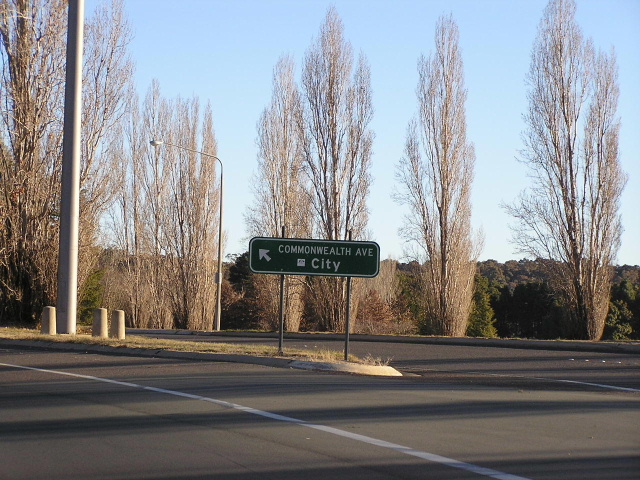
Extremely old AD sign northbound just before Parkes Way. Photo taken July 2004. |
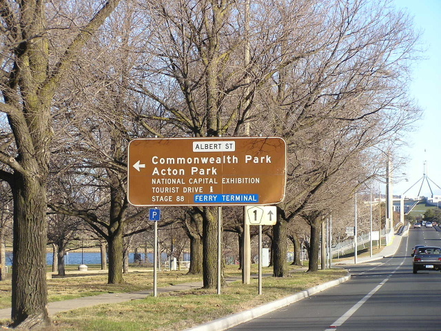 |
Southbound at Albert St. Photo taken July 2004. |
 |
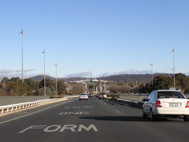
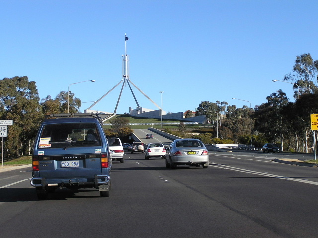
Southbound to the bridge over Lake Burley Griffin. Photo taken July 2004. |
|
Looking south between the twin bridges which carry Commonwealth Avenue over Lake Burley Griffin. Source: Andrew Ison, January 2009. |
 |
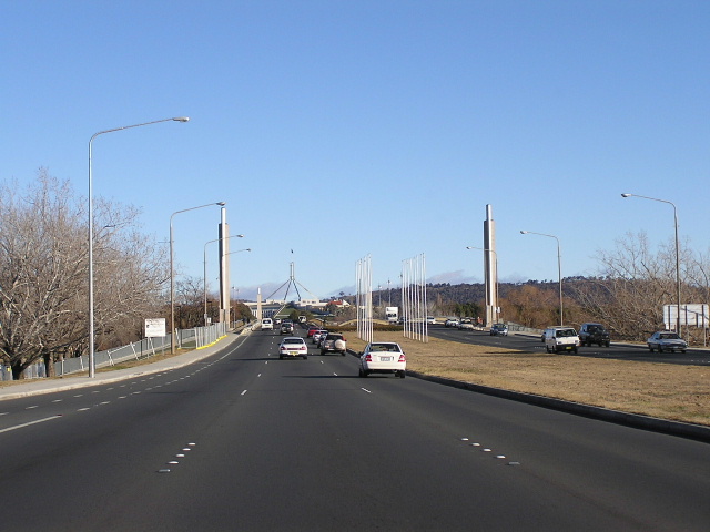
Looking north towards the Lake Burley Griffin twin bridges. Photo taken: June 2004. |
 |
Flynn Drive approaching the northbound on-ramp to Commonwealth Ave. Note the lack of a NR23 shield. Photo taken July 2004. |
 |
Flynn Drive ramp to northbound Commonwealth Ave. Note the lack of a NR23 shield. Photo taken July 2004. |
 |
Northbound approaching Kaye St. Photo taken July 2004. |
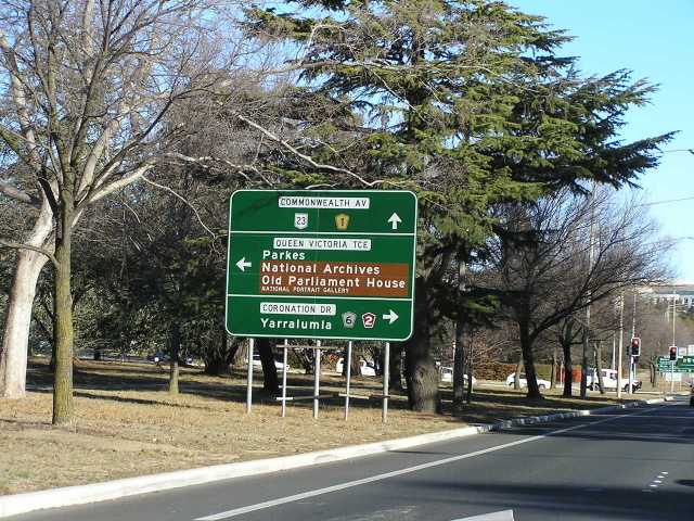 |
Southbound at Coronation Dr & King Edward Terrace. Photo taken July 2004. |
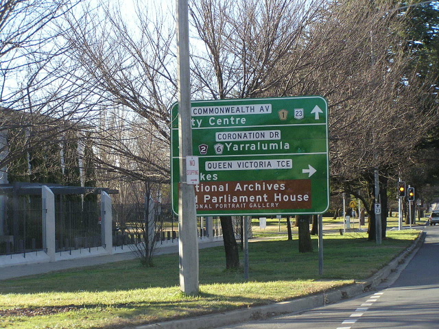 |
Northbound approaching Coronation Dr & King Edward Tce. Photo taken July 2004. |
 |
Trailblazer northbound at Coronation Dr & King Edward Tce. Photo taken July 2004. |
 |
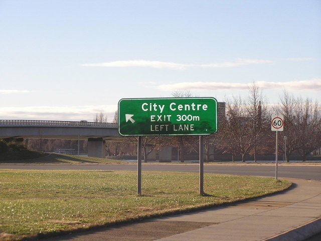
Looking south where Commonwealth Ave splits into State or Capital Circles, plus the access road to Parliament House on the right of the photo. Photo taken July 2004. |
Last updated 26 March 2011 © Ozroads 2004-2011. |