Dilston-Windermere-Mt Direction |

Fingerboards at the junction of Windermere Rd (C739) & Los Angelos Rd. Source: Peter Renshaw, May 2007.
Introduced: 1980
Length: 11km
Northern Terminus: East Tamar Highway (A8) & Windermere Rd (C739), 21km north of Launceston
Southern Terminus: East Tamar Highway (A8) & Windermere Rd (C739), 18km north of Launceston
Route taken: Windermere Rd
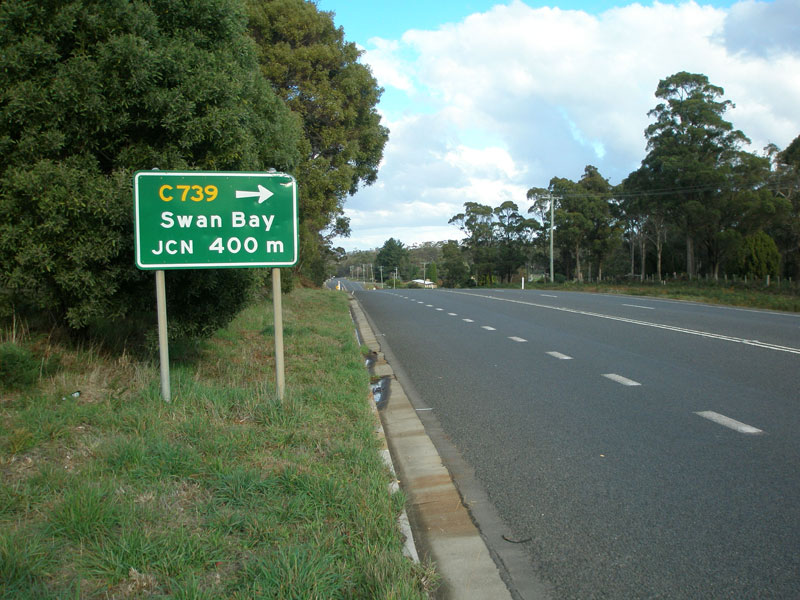
Focal Points: Swan Bay, Windermere
Responsibility: Local Government
C739 is a minor rural route in the Tamar River valley, forming a loop from the East Tamar Highway through the small tourist settlements of Swan Bay and Windermere. The route is mostly sealed, with the exception of a 3km section of gravel road alongside the Tamar River between Native Point Reserve Rd and Windermere.
|
Photos of route C739 |
|
 |
East Tamar Highway (A8) southbound approaching the northern junction with Windermere Rd (C739). Source: Peter Renshaw, May 2007. |
 |
East Tamar Highway (A8) northbound approaching the northern junction with Windermere Rd (C739). Source: Peter Renshaw, October 2007. |
 |
Fingerboard signs at the northern junction of East Tamar Highway (A8) and Windermere Rd (C739). Source: Peter Renshaw, May 2007. |
 |
Windermere Rd (C739) looking west from the northern junction with East Tamar Highway (A8) - the Tamar River is in the background. Source: Peter Renshaw, May 2007. |
 |
Windermere Rd (C739) looking east at the junction with Los Angelos Rd. Source: Peter Renshaw, May 2007. |
|
Fingerboard signs at the junction of Windermere Rd (C739) and Los Angelos Rd. Source: Peter Renshaw, May 2007. |
 |
Windermere Rd (C739) looking south near Native Point Reserve Rd, showing gravel section. Source: Peter Renshaw, May 2007. |
 |
Another southbound view of the gravel section of Windermere Rd (C739) near Native Point Reserve. Source: Peter Renshaw, May 2007. |
 |
Windermere Rd (C739) looking west at Windermere village, with the Tamar River alongside. Source: Peter Renshaw, May 2007. |
 |
Windermere Rd (C739) looking east at Windermere village, with a very english setting. Note the return of the centre-line. Source: Peter Renshaw, May 2007. |
 |
Another westbound view of Windermere Rd (C739) through Windermere village. Source: Peter Renshaw, May 2007. |
 |
Watch out for echidnas! Windermere Rd (C739) westbound between Windermere village and the East Tamar Highway (A8). Source: Peter Renshaw, May 2007. |
 |
Windermere Rd (C739) eastbound approaching the southern junction with East Tamar Highway (A8). Source: Peter Renshaw, May 2007. |
 |
Fingerboard signs at the southern junction of East Tamar Highway (A8) & Windemere Rd (C739). Source: Peter Renshaw, May 2007. |
 |
East Tamar Highway (A8) northbound approaching the southern junction with Windermere Rd (C739). Source: Peter Renshaw, May 2007. |
Last updated 11 October 2007 © Ozroads 2004-2007. |