Sydney to Liverpool via Canterbury & Milperra |
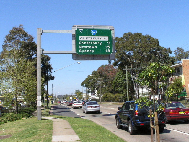
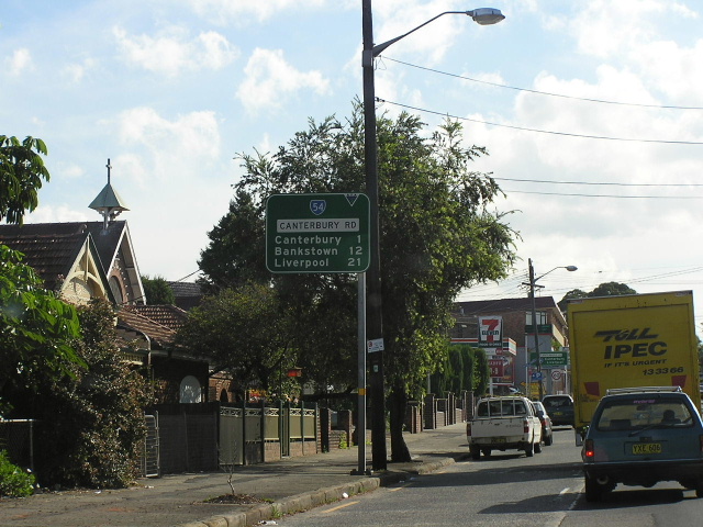
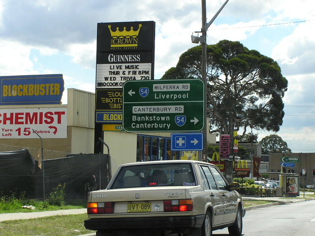
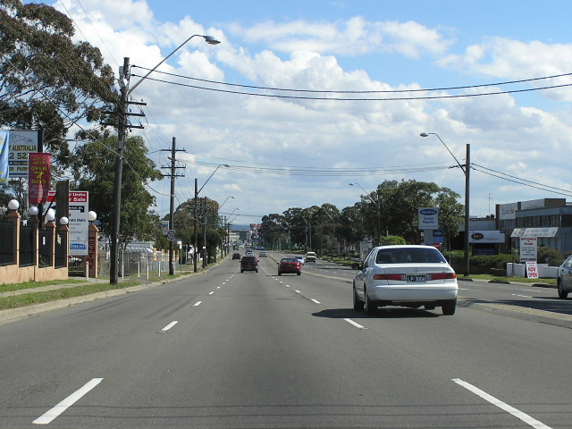
Canterbury Rd looking east from Chapel Rd & Gibson Ave, Bankstown. Aug 2004.
In 2013, RMS will be implementing a new alpha-numeric route numbering system. For more information, visit the RMS Website. |
|
Forthcoming alpha-numeric route number: |
|
Length: 28km
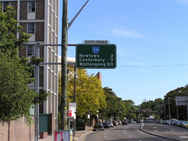
Eastern Terminus: Gt Western Hwy (Broadway) & Princes Hwy (City Rd), Chippendale
Western Terminus: Hume Hwy & Hoxton Park Rd & Macquarie St, Liverpool
Route taken: Princes Hwy (City Rd, King St), Enmore Rd, Stanmore Rd, New Canterbury Rd, Canterbury Rd, Milperra Rd, Newbridge Rd, Terminus St, Macquarie St
Focal Points: Sydney, Newtown, Canterbury, Milperra, Liverpool, Campbelltown
RTA Internal Classification: State Highway No. 1 (Princes Hwy), Main Road No. 167 (Newtown to Heathcote Rd), Main Road No. 512 (Heathcote Rd to Speed St), Main Road No. 578 (Speed St to Hume Hwy)
State Route 54 is an east-west state route connecting the CBD with Newtown, Canterbury, Lakemba, Bankstown, Milperra and Liverpool. Traffic congestion on this notorious route, the first to have 'Priority Road' signage installed in the 1960s, has been somewhat eased by the completion of the M5 East in 2001. East of Bankstown the route is largely four-lane undivided with some turning lanes, while Milperra Road and Newbridge Road were both widened to six lanes in 1967.
A major feature of the route is the two bridges across the Georges River, at Milperra and Liverpool. The four-lane bridge across the Georges River and railway line at Liverpool was opened in 1958, replacing a two lane timber structure, and the elegant six-lane bridge over the Georges River at Milperra was fully opened in February 1966, replacing another nineteenth century timber bridge.
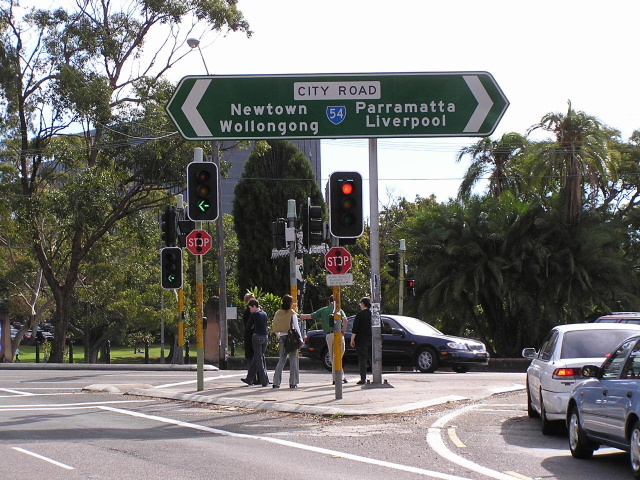
State Route 54 itself was introduced in 1974 and originally terminated at the Princes Highway (King Street) at Newtown. In June 1993 the route was extended north along the Princes Hwy (King St & City Rd) to terminate at Broadway (SR31 - Gt Western Hwy).
 |
Signage marking the beginning of SR54 at SR31, Chippendale. May 2005. |
 |
Princes Hwy northbound approaching the end of SR54 at Gt Western Hwy. May 2005. |
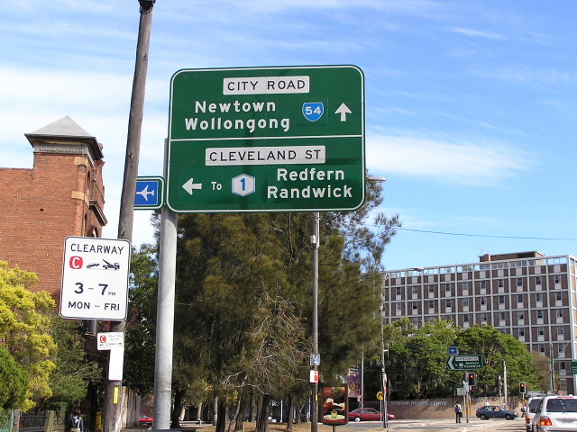 |
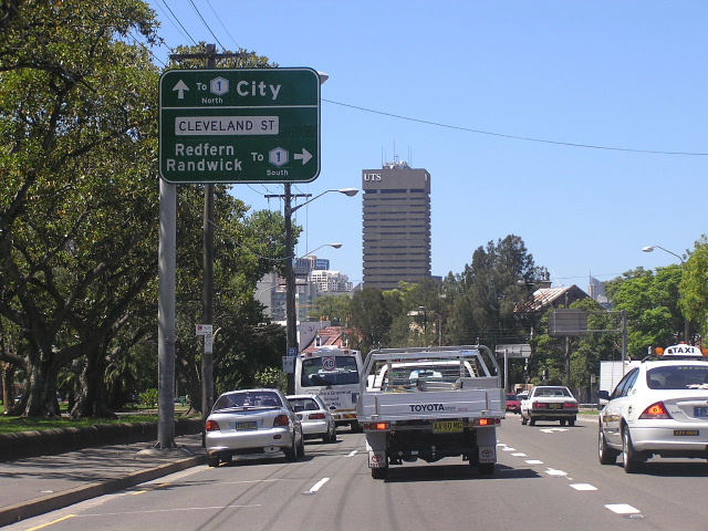
Princes Hwy southbound approaching Cleveland St, Chippendale. May 2004. |
 |
SR54 double-chevron ID sign at Cleveland St. May 2004. |
 |
First RD sign on SR54 heading south-west from Cleveland Street. Note that this sign remains from the days when NR1 was here, so it has numerous coverplates. May 2005. |
 |
Princes Hwy northbound approaching Cleveland St. Note how SR54 is not signed straight, instead 'To Metroad 1 North' is preferred. May 2005. |
 |
Looking south on the Princes Hwy through Newtown. May 2005. |
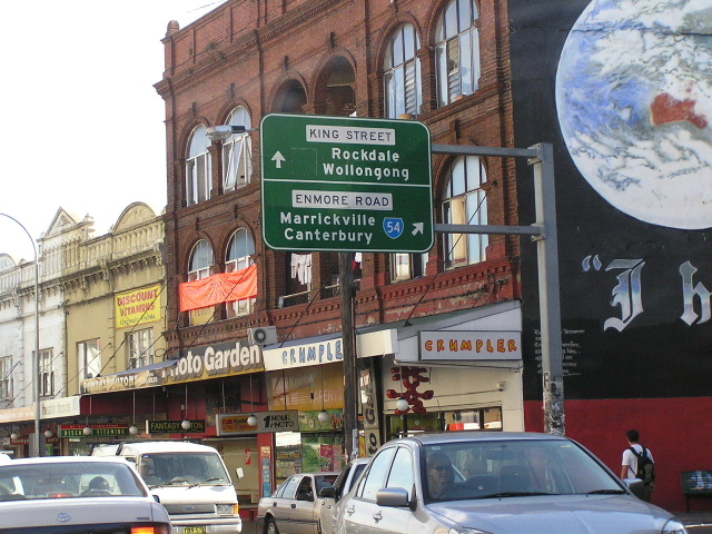 |
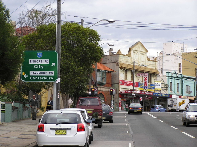
Princes Hwy southbound approaching Enmore Rd. May 2004. |
 |
ID signs at the Princes Hwy/SR54 split. Note the blank coverplate over SR66. May 2004. |
 |
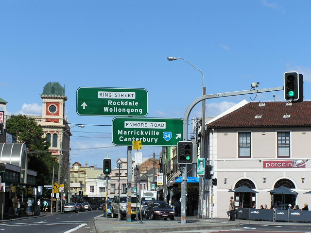
Enmore Rd westbound approaching Stanmore Rd/Edgeware Rd at Enmore. March 2005. |
 |
Old eastbound AD sign on Stanmore Rd approaching Enmore Rd & Edgeware Rd. This sign has since been replaced. 1994. |
 |
Enmore Rd northbound approaching the same intersection. Aug 2004. |
 |
Stanmore Rd looking towards Newington College. March 2005. |
Old ID sign southbound on Crystal Street at SR54, Petersham. Sep 1994. |
|
 |
Another pretty old ID sign at the Crystal St intersection. 1994. |
Another old sign, this time an AD sign northbound on Shaw St approaching SR54. Note how the right-turn legend was removed following the introduction of a right-turn ban at this intersection. 1994. |
|
 |
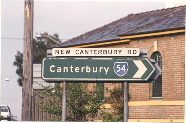
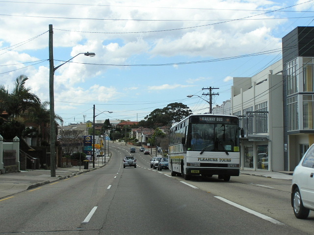
New Canterbury Rd looking east in Dulwich Hill. Sep 2005. |
 |
RD sign on New Canterbury Rd westbound near Dunstaffenage St, Hurlstone Park. Considering the sign says 'Canterbury Rd' and is located before a major intersection I assume this sign was incorrectly located. June 2004. |
 |
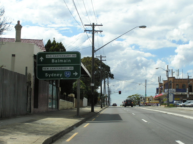
AD sign westbound on New Canterbury Rd approaching the Canterbury Rd/Old Canterbury Rd junction at Hurlstone Park. June 2004. |
RD sign heading east on New Canterbury Rd from Old Canterbury Rd. June 2004. |
|
 |
Canterbury Rd northbound approaching Old Canterbury Rd and New Canterbury Rd at Hurlstone Park. June 2004. |
 |
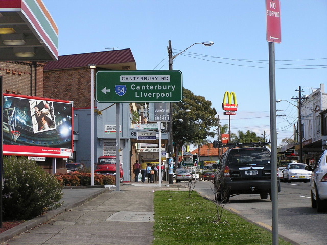
Canterbury Rd looking north at Canterbury. June 2004. |
 |
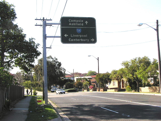
Westbound approaching Bexley Rd and Beamish St, Campsie. March 2005. |
 |
Very old black AD sign northbound on Bexley Rd approaching Canterbury Rd. Aug 2004. |
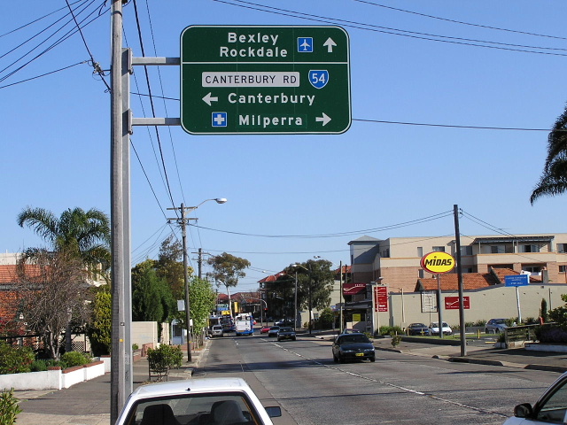 |
Beamish St looking south approaching SR54 at Campsie. Aug 2004. |
 |
RD sign westbound from Bexley Rd & Beamish St. June 2004. |
 |
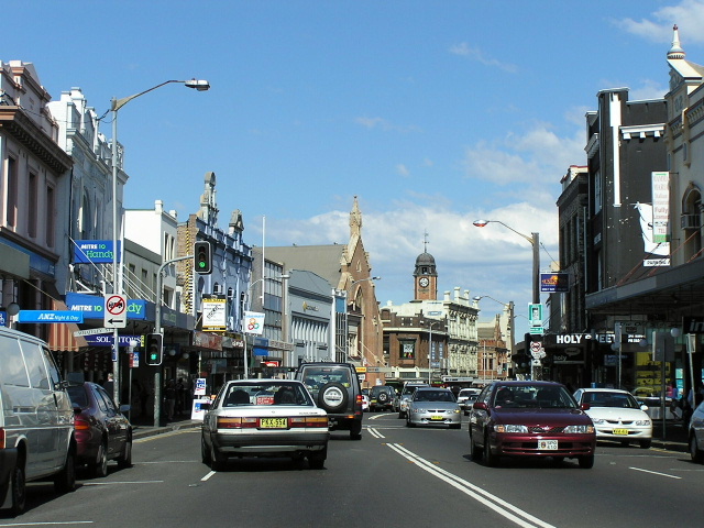
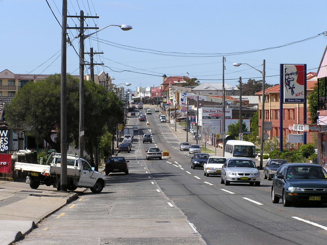
Looking east through Lakemba. June 2004. |
 |
King Georges Rd northbound approaching Canterbury Rd, Roselands. May 2005. |
 |
RD sign westbound from King Georges Rd at Roselands. June 2004. |
 |
Looking east towards King Georges Rd from near Pentland Ave, showing the midday traffic jam on a Saturday. June 2004. |
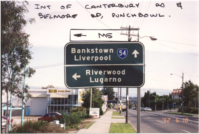 |
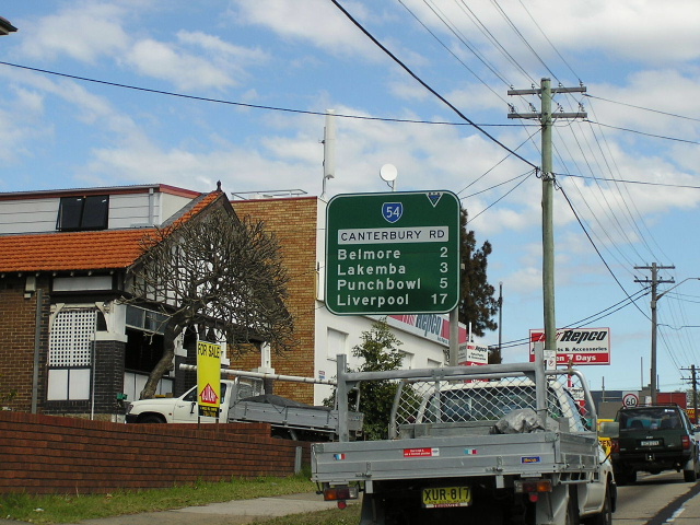
Old black AD sign westbound approaching Belmore Road at Punchbowl. Oct 1992. |
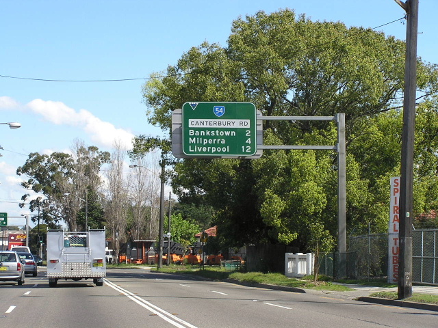 |
RD sign heading west from Punchbowl Rd. June 2004. |
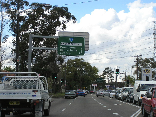 |
RD sign heading east from Stacey St South at Punchbowl. June 2004. |
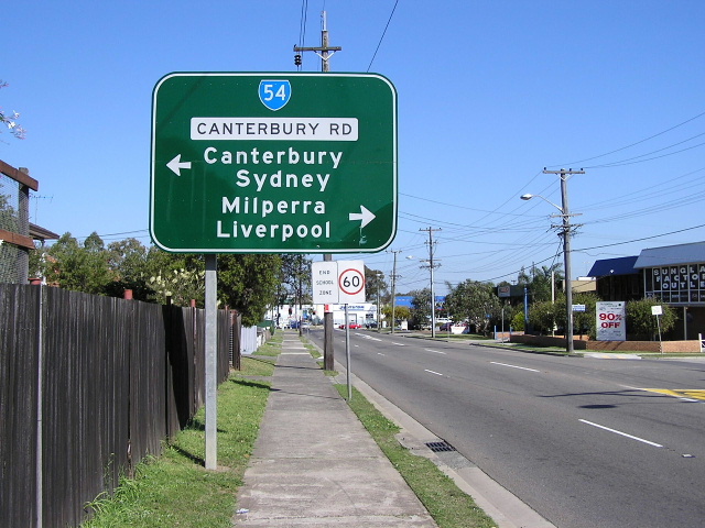 |
AD sign for SR54 on Stacey St South, Punchbowl. Aug 2004. |
 |
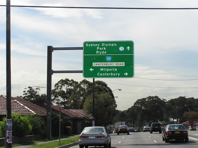
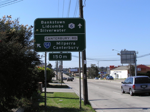
Canterbury Rd westbound approaching Fairford Rd (Metroad 6) at Bankstown. Aug 2004. |
 |
Fairford Rd northbound approaching Canterbury Rd. Aug 2004. |
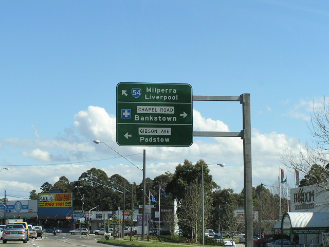 |
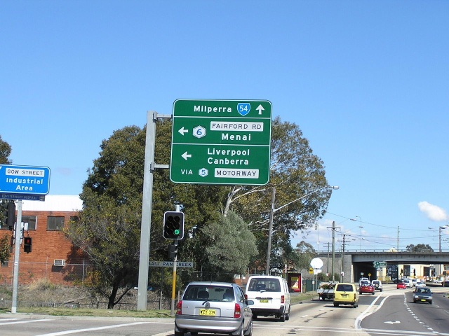
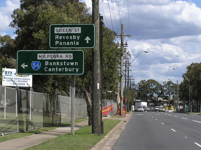
Westbound approaching Chapel Rd & Gibson Ave, Bankstown. June 2004. |
 |
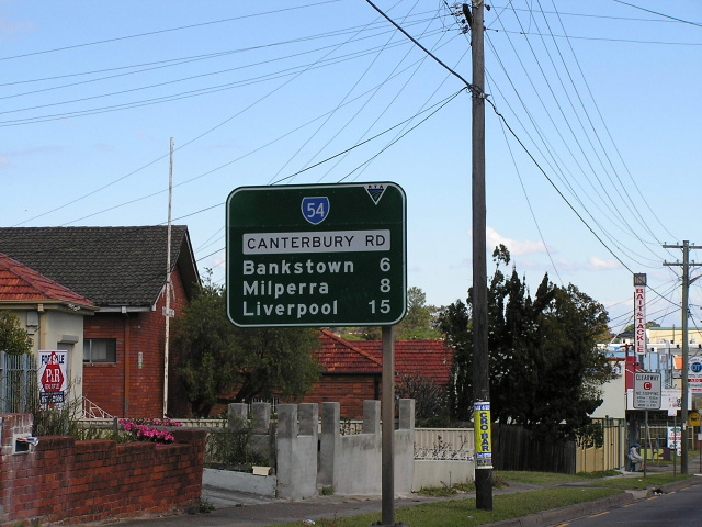
AD sign northbound on The River Rd showing the change from Canterbury Rd into Milperra Rd. June 2004. |
 |
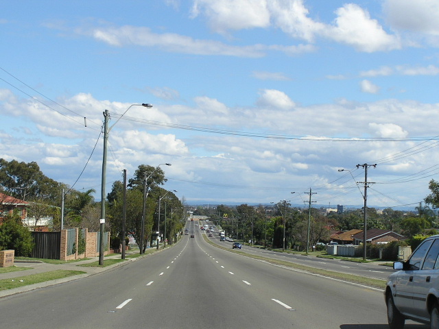
Looking west along Milperra Rd through Revesby. June 2004. |
 |
Unusual style of AD sign, common in SA, southbound on Edgar Street approaching Milperra Rd, Bankstown. Sep 2004. |
 |
Looking east along Milperra Rd outside Bankstown Airport. June 2004. |
 |
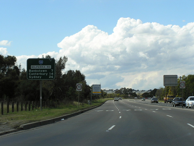
Henry Lawson Dr southbound approaching SR54 at Milperra. Juely 2004. |
 |
View of the Milperra Bridge from Henry Lawson Drive. July 2004. |
 |
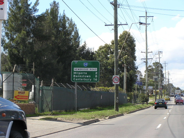
Looking west along Newbridge Rd into Moorebank. July 2004. |
 |
Newbridge Rd looking east from Governor Macquarie Dr. June 2004. |
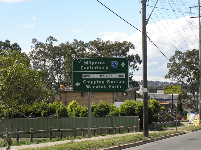 |
Eastbound AD sign for Governor Macquarie Dr. June 2004. |
 |
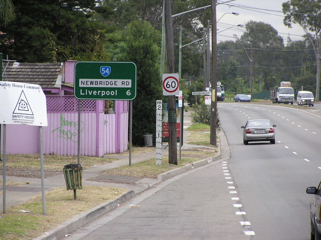
Newbridge Rd looking west from Nuwarra Ave, Moorebank. June 2004. |
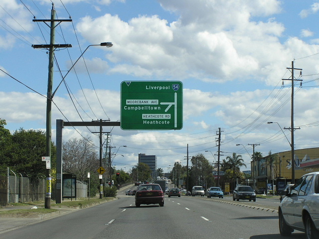 |
Newbridge Rd westbound approaching Heathcote Rd at Moorebank. June 2004. |
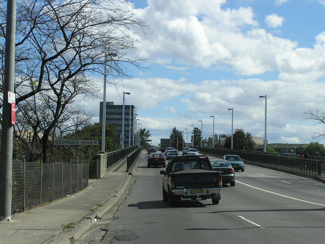 |
Looking west across the Georges River into Liverpool. June 2004. |
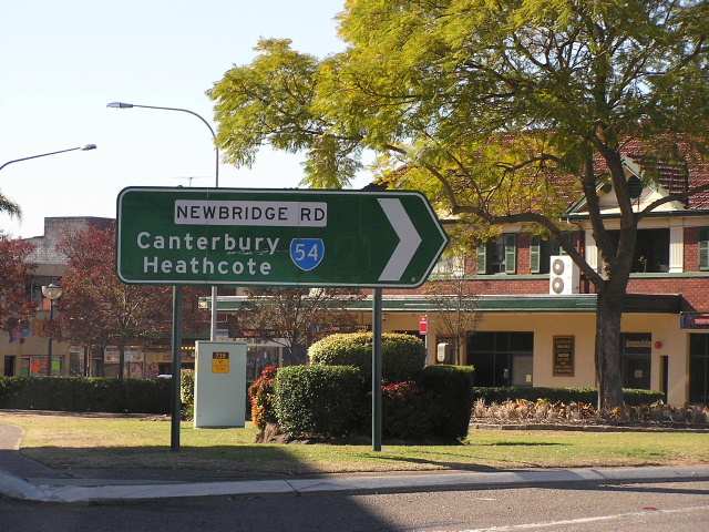 |
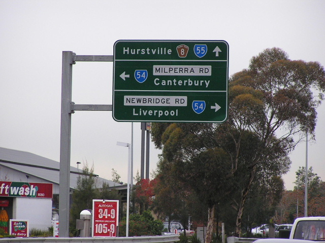
ID sign showing a blank coverplate over either a Metroad 7 or SR61 shield at Terminus St & Newbridge Rd, Liverpool. June 2004. |
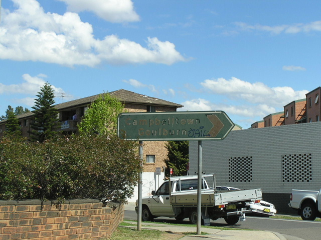 |
Very old, possibly pre-1974, ID sign reading 'Campbelltown/Goulburn' at the intersection of Pirie St and Nagle St, Liverpool. June 2004. |
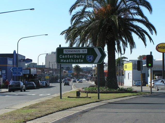 |
ID sign at the intersection of Macquarie St & Terminus St in Liverpool. June 2004. |
 |
Macquarie St northbound approaching Terminus St. June 2004. |
 |
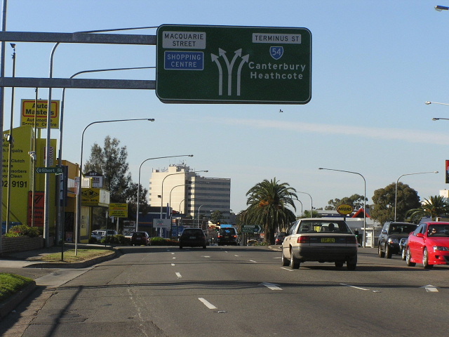
This sign marks the end of SR54 as we approach the Hume Highway on Macquarie St. June 2004. |
 |
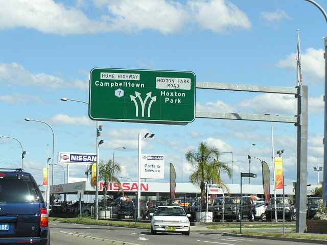
Hoxton Park Rd heading east approaching the Hume Hwy & the beginning of SR54 at Liverpool. If SR54 were to ever be extended it would most likely be along Hoxton Park Rd to Cowpasture Rd. June 2004. |
Last updated 10 December 2012 © Ozroads 2003-2012. |