State Route 133 |
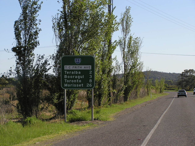
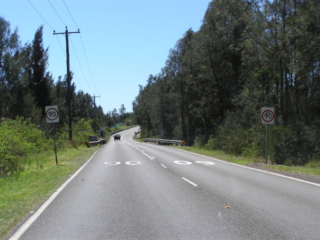
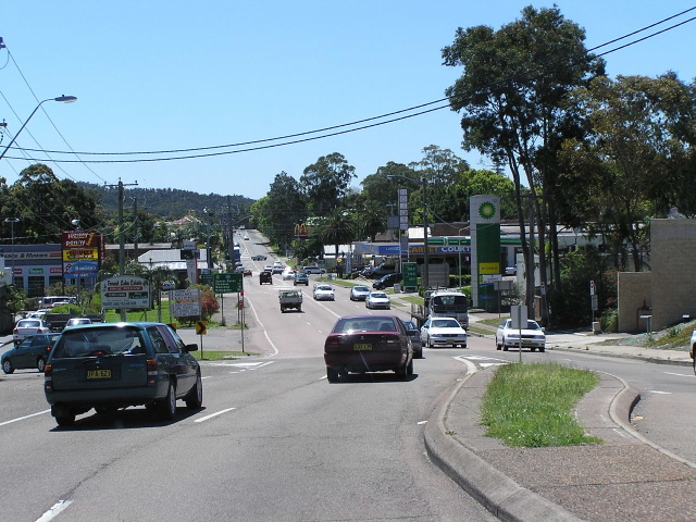
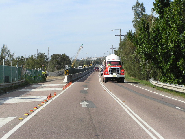
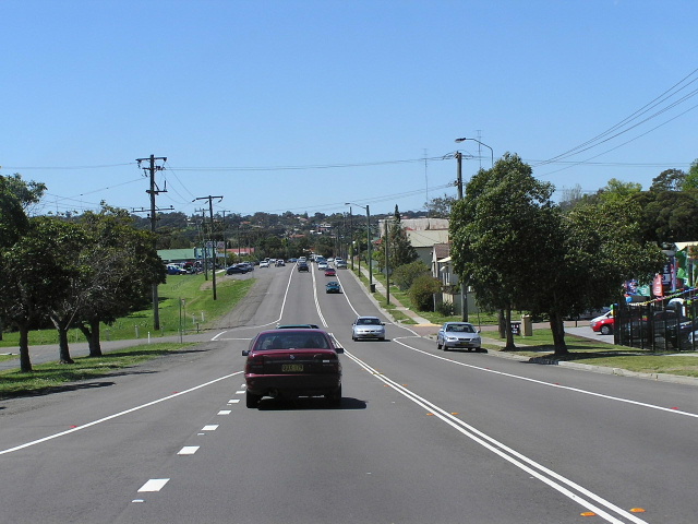
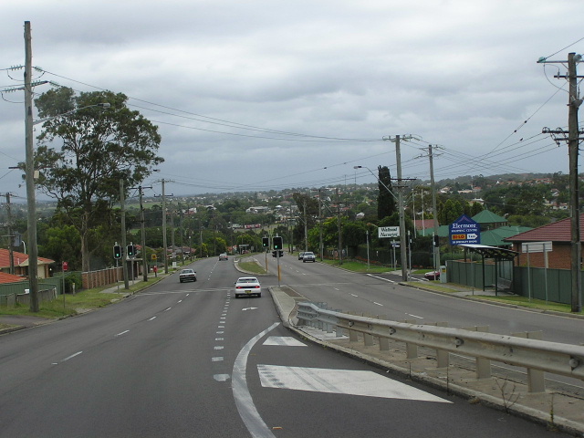
T.C Frith Avenue southbound at Boolaroo. Oct 2004.
In 2013, RMS will be implementing a new alpha-numeric route numbering system. For more information, visit the RMS Website. |
||
Forthcoming alpha-numeric route number: |
(Morisset to Wallsend section only) |
|
Length: 40km
Northern Terminus: Sandgate Rd & "State Highway No. 23", Shortland
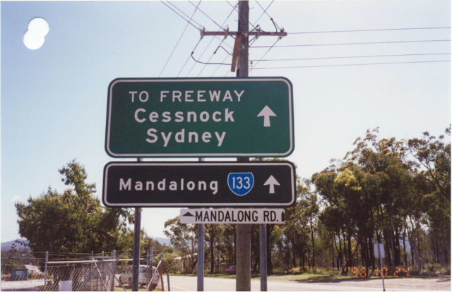
Southern Terminus: F3 Freeway & Mandalong Rd, Morisset Interchange
Route taken: Mandalong Rd, Dora St, Macquarie St, Wangi Rd, Mt Waring Rd, Excelsior Pde, Cary St, Anzac Pde, Main Rd, Toronto Rd, Five Islands Rd, T.C Frith Ave, Lake Rd, Thomas St, Longworth Ave, Cameron St, Tillie St, Sandgate Rd
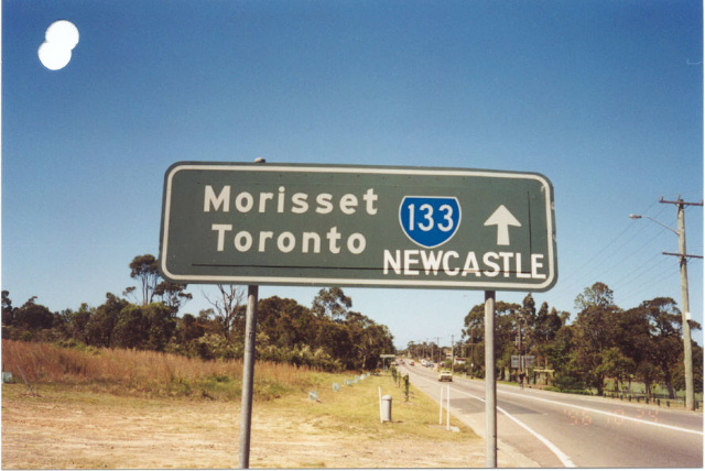
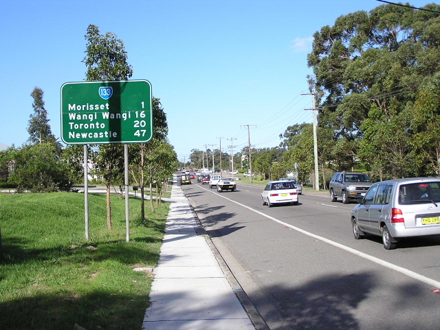
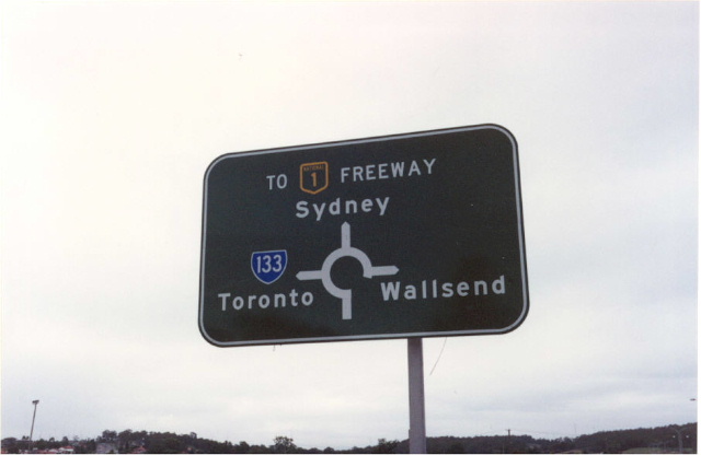
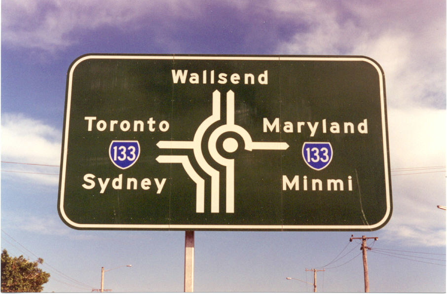
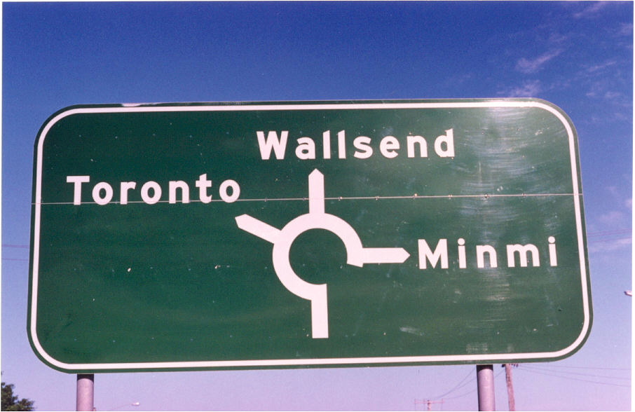
Focal Points: Mandalong, Morisset, Toronto, Wallsend, Sandgate
RTA Internal Classification: Main Road 217
Route Overview:
State Route 133 is a major north-south route for most of its journey along the western side of Lake Macquarie and through the western suburbs of Newcastle. The route is mostly 2-lane undivided road, however the is a long section of dual carriageway from Newcastle Rd, Wallsend to the Glendale Super Centre. From the intersection of Thomas St & Newcastle Rd at Wallsend the route is a "Regional Road" meaning it is under the ownership and control of Newcastle City Council and signposting along this section isnt too good. There is no mention of SR133 at its northern terminus, where it meets SR123, or along Longworth Avenue.
Minor upgrades to this route were included in the Northumberland County Town & Country Planning Scheme, including the Five Islands Deviation and minor re-alignments between Toronto and Morisset. However, the most significant upgrade - the construction of a new route between Wangi Wangi and Morisset - was not included in the plan. The existing route - via what is now Newport Road and Cooranbong - was shown to have some minor realignments but still sufiice as part of the Morisset-Toronto Rd.
Major work on this route was commenced in 1960, with the construction of a road between Morisset and Dora Creek. This was complimented in 1962 with the construction of an improved route through Eraring via Rocky Point Rd. Both these new routes were gazetted as part of Main Road No. 217 on 13 March 1962. The old alignment has been partially absorbed by the Eraring Power Station development but some of ti still exists as Awaba Rd, Border St, Point Piper Rd and Payten St.
In December 1967 the concrete Fennell Bay Bridge was opened to traffic, followed in February 1973 by the Five Islands Deviation which replaced the Watkins Bridge, constructed in 1899, across Cockle Creek. The Five Islands Deviation involved the construction of 2.5km of new roadway and 3 bridges across the mouth of Cockle Creek. The old route followed York St and Racecourse Rd through the centre of Teralba. Initially the deviation extended as far north as Second Street, Boolaroo, but was extended north to the Argenton Railway Bridge in February 1977. The opening of the Woodrising Deviation in September 1972 and the completion of the Eraring Power Station deviation in 1979 rounded off major construction on this route.
SR133 itself was introduced in 1974, initially extending from Freemans Dr & Wyee Rd (SR82) at Morisset to the intersection of Main Rd (SR82) and Second St at Boolaroo. Upon completion of the Five Islands Deviation Extension, from Second St to Argenton Railway Bridge, in February 1977 the route was extended north along what was previosuly SR131 to terminate at SR123 (intersection of Sandgate Rd & Vale St, Shortland). The routing through Wallsend was via Lake Rd, Cowper St, Lowe St, Robert St and Sandgate Rd.
The first dual carriageways on the route were constructed in 1987 on Lake Rd at Wallsend, closely followed by a section across Winding Creek on Lake Rd at Glendale in 1992. Meanwhile, the route had been extended twice. In March 1988, the route was extended south-west to the newly opened Morisset Interchange on the F3 Freeway and, in June 1990, SR133 was extended north along Sandgate Rd for 2km to the northern terminus of the "Jesmond-Shortland Relief Route" which is known officially as State Highway No. 23. In December 1993, in conjunction with the construction of the Newcastle Link Rd and the upgrade of Thomas St, SR133 was re-routed around Wallsend, bypassing the CBD via Thomas St, Longworth Ave, Cameron St & Tillie St.
Since then the route has stayed the same in alignment and the only notable improvement has been the construction of dual carriageways along Lake Rd between Main Rd, Glendale and Croudace Rd, Elermore Vale, which was completed in 2001. An EIS was exhibited early in 2004 for the duplication of the Five Islands Deviation and construction was commenced in March 2005. New bridges will be constructed on the western side of the current ones, while southern section of roadway will be duplicated on the eastern side by dredging of the mangroves.
Notable events in the history of SR133:
Dec 1948 - Newport Rd realignment at Dora Creek
1960 - Route constructed between Dora Creek and Morisset
1962 - Original Eraring Deviation (Rocky Point Rd)
- replaced route closer to the banks of Lake Macquarie
Dec 1967 - Fennell Bay Bridge
Sep 1972 - Woodrising Deviation
Feb 1973 - Five Islands Deviation (replaced 1899 Watkins Bridge)
1974 - Route introduced; extending from Freemans Dr/Wyee Rd, Morisset to Main Rd/2nd Street, Boolaroo
Feb 1974 - Eraring Deviation (Power Station Interchange)
Feb 1977 - Five Islands Deviation Extension - route extended north to Sandgate Rd/Vale St, Shortland
1982 - Morisset Railway Bridge
1987 - Lake Rd (Croudace Rd to Cowper St) dual carriageways
1992 - Lake Rd (Frederick St to Main Rd, Glendale) dual carriageways
Mar 1988 - Extended south-west to F3 Freeway, Morisset Interchange
Jun 1990 - Extended north to meet State Highway No. 23 at Shortland
Dec 1993 - Route bypassed Wallsend via Thomas Street/Longworth Avenue
2001 - Lake Rd (Main Rd to Croudace Rd) dual carriageways
Further reading (on-site):
SR133 Southern Terminus - Morisset Interchange
Photos of State Route 133 |
|
 |
Looking east on Mandalong Rd towards the Freemans Dr & Wyee Rd intersection at Morisset. Oct 2004. |
 |
Southbound AD sign on Freemans Dr for the same intersection. Note that SR133 is on a coverplate and is not mentioned for the right turn. Many signs in this area are yet to reflect the extension of SR133 to the Freeway. Oct 2004. |
 |
Northbound AD sign on Wyee Rd for the same intersection. Note again that SR133 is on a coverplate and is not mentioned for the left turn. Oct 2004. |
 |
ID signs, that surprisingly include SR133 and a freeway green sign for the F3, at the same intersection. The lower sign has been replaced directly with a new reflective green sign. Oct 1998. |
 |
Interesting ID sign at the same intersection. This sign has been removed, however, it dates from prior to the opening of the F3 to Freemans Dr in March 1988. I believe that underneath the coverplate the original signs reads "Toronto/Newcastle - SR133". The Newcastle focal point would have been covered when the freeway was opened to Palmers Rd in Dec 1990 as Newcastle traffic was signed via Palmers Rd. It seems perhaps Lake Macquarie Council have reinstated the Newcastle focal point for some reason. Anywho, the sign was removed during 2003 and has not been replaced. Oct 1998. |
 |
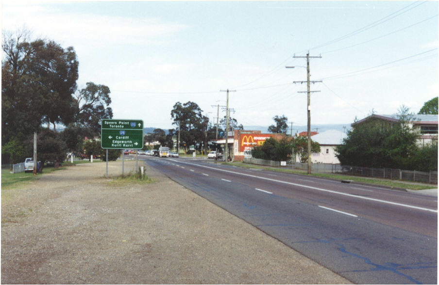
The first RD sign heading north-east from Freemans Dr & Wyee Rd into Morisset. Oct 2004. |
 |
LOoking east through Morisset. Oct 2004. |
 |
Looking north from Dora Creek township. Oct 2004. |
 |
Looking south to the Eraring Power Station interchange. Oct 2004. |
 |
Looking north through Wangi Wangi. Oct 2004. |
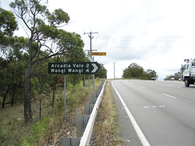 |
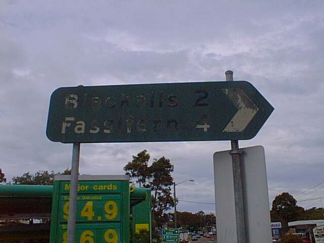
Black fingerboard sign at Donnelly Rd, Arcadia Vale. Oct 2004. |
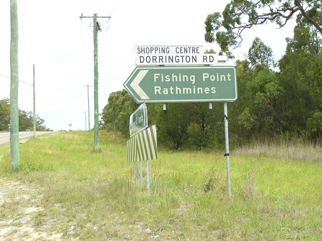 |
Very old and faded non-standard ID sign at Dorrington Rd, Rathmines. Oct 2004. |
 |
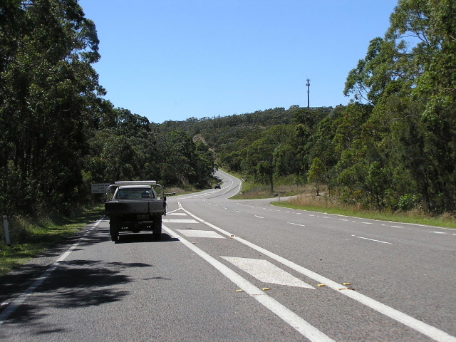
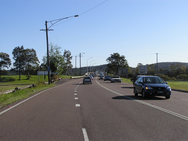
Looking north at the climb up Mt Waring to Toronto. Oct 2004. |
 |
I dont know why, but I have always liked this sign. Heading east on The Boulevard (becomes Palmers Rd further west) towards Sr133 in Toronto. Oct 2004. |
 |
Southbound AD sign for The Boulevard, Toronto. Oct 2004. |
 |
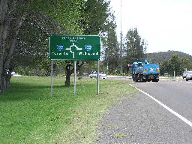
The northbound RD sign in Toronto. Note the Hunter Tourist Circuit shield that remains. Oct 2004. |
 |
Looking north along Cary St, Toronto. Oct 2004. |
 |
Great early 1970s relic at the intersection of Cary St & James St in Toronto. This sign has since been replaced. Dec 2003. |
 |
Looking north in Fennell Bay. Oct 2004. |
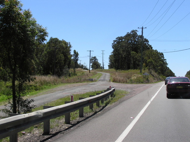 |
Looking north at the southern end of the Woodrising Deviation. The old road can be seen on the left. Oct 2004. |
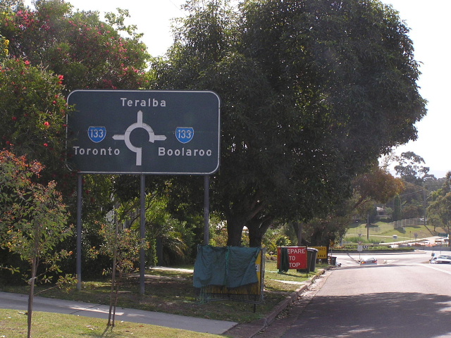 |
1974 relic on First St, Booragul. How do I know its from 1974? It has the old focal point of "Boolaroo" which was removed in 1977 in favour of Wallsend or Newcastle. Oct 2005. |
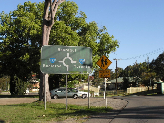 |
Another 1974 relic, this time on the York St approach to the same intersection. Oct 2004. |
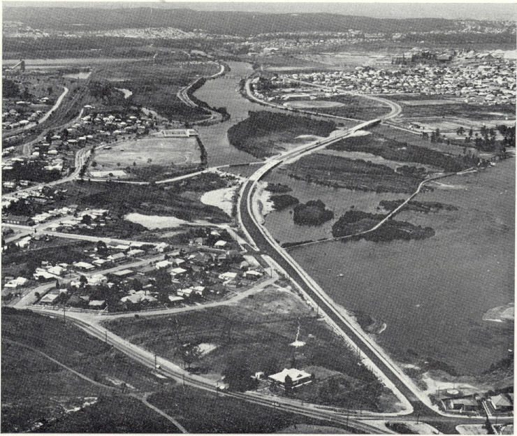 |
Aerial view looking north over the Five Islands Deviation, under construction in 1972. The First St/York St intersection is in the bottom right of picture with the old road skirting the left side of Cockle Creek. |
 |
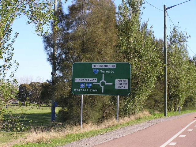
Looking north along Five Islands Rd showing duplication underway. Oct 2005. |
 |
Looking north along Five Islands Rd showing duplication underway. Oct 2005. |
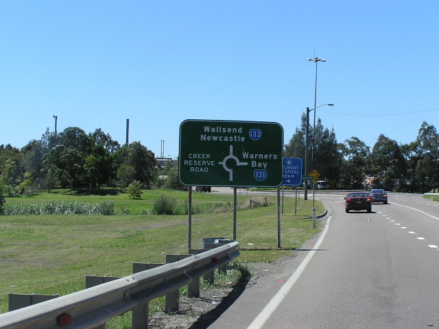 |
Northbound approaching SR131 at Speers Point. Oct 2005. |
 |
Looking south from the Esplanade roundabout at Speers Point along the Five Islands Deviation. Oct 2004. |
 |
Approaching SR133 from SR131 (The Esplanade) at Speers Point. Nov 2004. |
 |
Southbound AD sign for SR131 at Speers Point. Oct 2005. |
 |
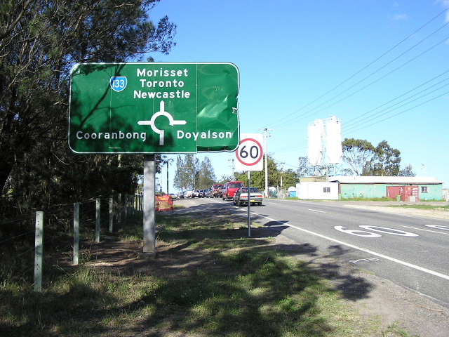
Distance sign heading north from SR131 at Speers Point. Oct 2005. |
The old Watkins Bridge, built in 1899, that crossed Cockle Creek near Second Street, Boolaroo. The bridge was demolished following opening of the deviation in 1973. |
|
 |
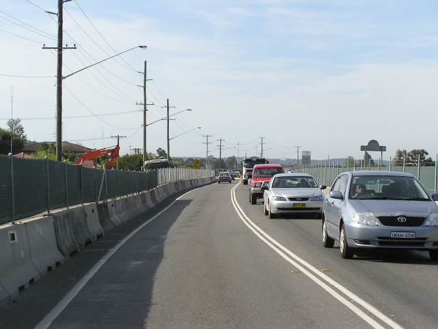
Looking south along TC Frith Avenue from Main Rd, Boolaroo. Oct 2004. |
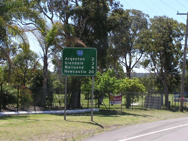 |
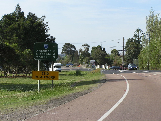
RD sign heading north in Argenton. Oct 2004. |
 |
Looking north-east through Argenton. The wide reservation for widening of Lake Rd is clearly visible. Oct 2004. |
 |
Northbound on Lake Rd approaching Main Rd (SR128) at Glendale. Oct 2004. |
 |
Thanks to Shayne Kerr for this 1999 view of Lake Rd, looking south to Main Rd, Glendale, prior to construction of dual carriageways. |
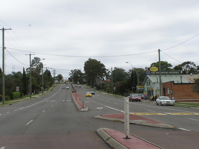 |
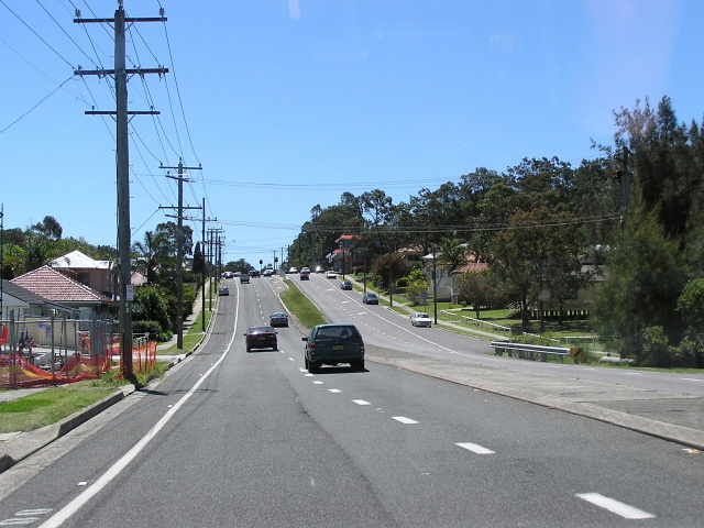
Looking north along Lake Rd through Glendale. Dec 2003. |
 |
Looking north along Lake Rd through Elermore Vale. Dec 2003. |
 |
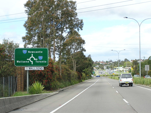
Looking north on Lake Rd, approaching Thomas St and Newcastle Link Rd, Wallsend. Until Dec 1993 SR133 went straight ahead here and passed through the middle of Wallsend. Oct 2004. |
 |
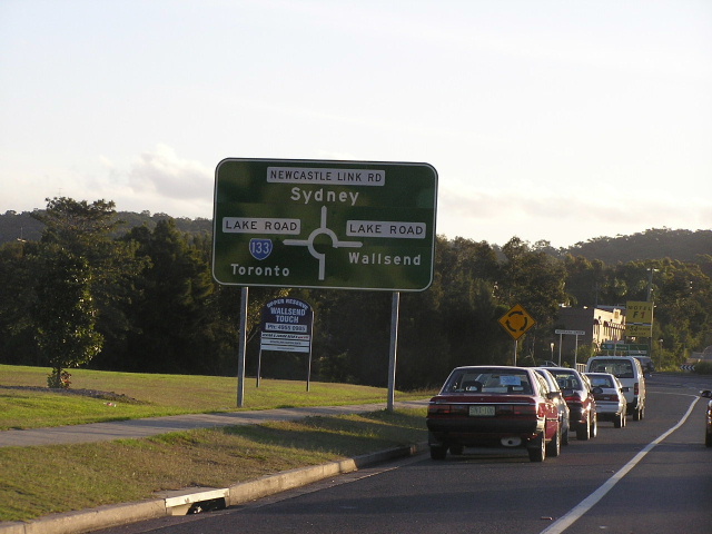
Approaching SR133 from the west on Newcastle Link Rd, Wallsend. Oct 2004. |
 |
Strange design for this ID sign at the Thomas St/Newcastle Link Rd/Lake Rd roundabout in Wallsend. Oct 2004. |
  |
New and old AD signs heading south-west on Thomas St. Top: April 2004 - Bottom: 2000 (Shayne Kerr) |
  |
Old and even older AD signs eastbound on Newcastle Rd approaching Thomas St and Longworth Ave, Wallsend. Top: c. 1998 (Shayne Kerr) Bottom: c.1992 (Shayne Kerr) |
 |
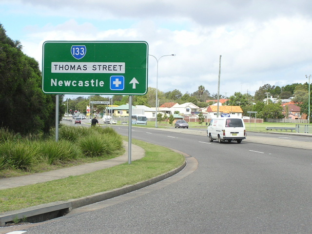
Heading north on Thomas St approaching Newcastle Rd. Oct 2004. |
 |
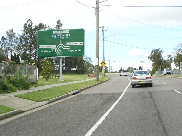
Northbound on Cameron St, approaching Longworth Ave & Minmi Rd, Wallsend. The vacant land on the left of the sign is right-of-way for the former Wallsend Coal Railway that ran between the Wallsend Collieries and the Hunter Line near Maud St, Mayfield West. The line was closed in 1979. Oct 2004. |
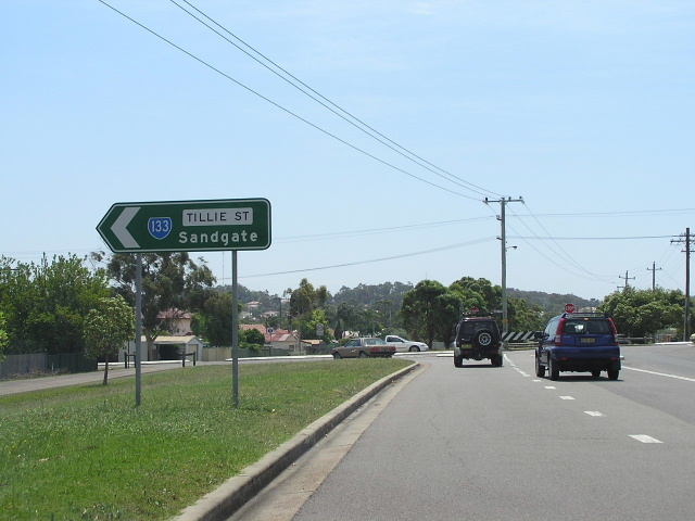 |
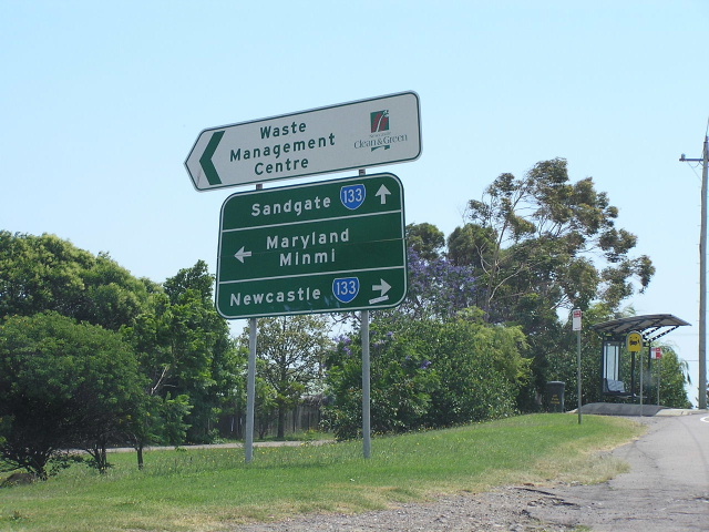
Eastbound on Cameron St, approaching Tillie St, Wallsend. The old rail alignment is still there on the left. Oct 2004. |
 |
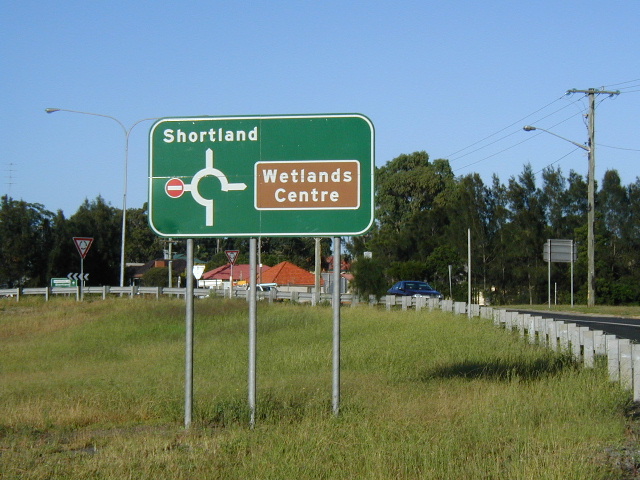
This 70s relic still survives as the old northern terminus of SR133 - Sandgate Rd & Vale St, Shortland. Oct 2004. |
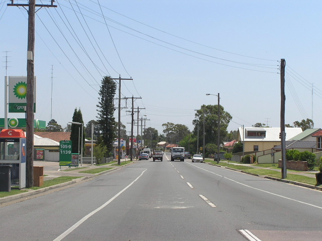 |
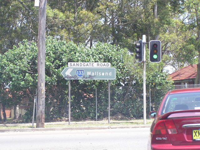
Looking north along Sandgate Rd through Shortland. Oct 2004. |
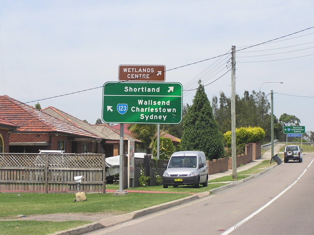 |
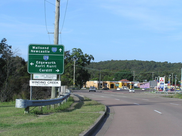
Approaching SR133 from the north, no mention of it anywhere however. And SR133's most logical focal point, Wallsend, is signed via SR123! Oct 2004. |
 |
Looking south at the northern terminus of SR133. No mention of it anywhere tho! Oct 2004. |
SR133 former alignment - Teralba/Boolaroo (bypassed February 1973) |
|
This scan from a 1960 UBD map of Newcastle shows the original alignment of Main Road No. 217 through Teralba and Boolaroo. You can see on the map the footbirdges across the mouth of Cockle Creek which the Five Islands Deviation roughly follows and you can also see a proposed northerly extension of T.C. Frith Ave, which was not completed until 1977. |
|
Photos of SR133 former alignment - Wallsend (1977-1993) |
|
 |
Looking north along Cowper St, approaching Newcastle Rd and Low St where SR133 used to turn left and then right onto Robert St. Oct 2004. |
 |
Looking south along Cowper St at the Nelson St intersection, smack-bang in the middle of Wallsend. Oct 2004. |
Last updated 12 December 2012 © Ozroads 2003-2012. |