A defunct numbering system from the 1960s and 1970s

Ring Road 3 signage being erected on 28 August 1964.
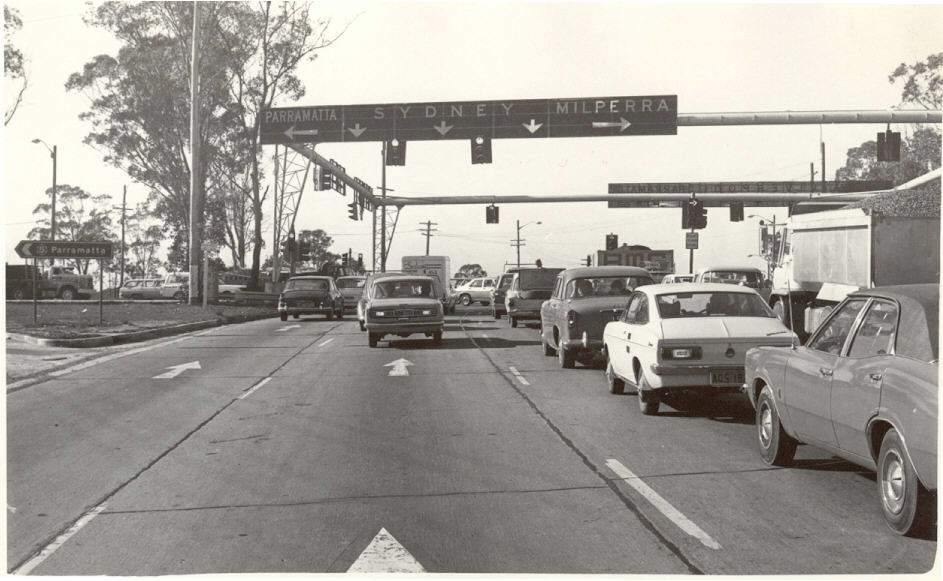
The Ring Road system was set up in 1964 as an attempt to guide motorists around Sydney. These 3 ring roads supplemented the then 10 year old National Route system which were all radial routes. Ring Roads carried a blue and white circular shield with a dotted outline. The first signs were erected on 28 August 1964 (see photo).
The Ring Roads lasted only 10 years before being replaced by corresponding repeated digit state routes in 1974. That means that Ring Road 1 was replaced by State Route 11, RR3 by SR33, RR5 by SR55. This pattern of numbering was seen fit for the newly-declared Cumberland Hwy in 1988. It's SR77 designation suggested it would have inherited the RR7 designation had that system still existed. The basic Ring Road idea was revived somewhat 20 years after its demise in the form of Metroads. The Metroads, however, also included radial routes.
Signage of the Ring Roads was apparently quite prominent and many older residents (inlcuding my parents) still refer commonly to Ring Road 3 (now Metroad 3). It is perhaps the first example of the preference of route number over route name. No signage remnants still remain, not surprising since the routes were officially deocmmissioned in 1974, however, Ring Road 1 sigange was still prominent until 1992 when the introduction of the Metroad system made an extensive sign replacement program necessary. One Ring Road 1 trailblazer - albeit an unusual version - survived on Wattle St, Ultimo until 1999 when Bradley Torr was able photograph it.
Details of the 3 Ring Roads are as follows:
Ring Road 1:
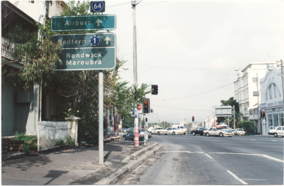
Extremities - Pyrmont to Rushcutters Bay
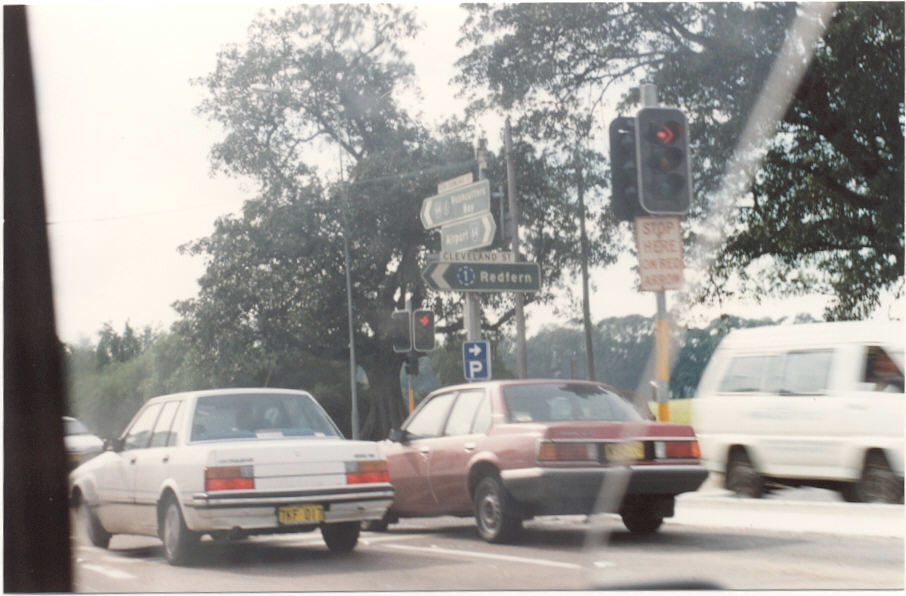
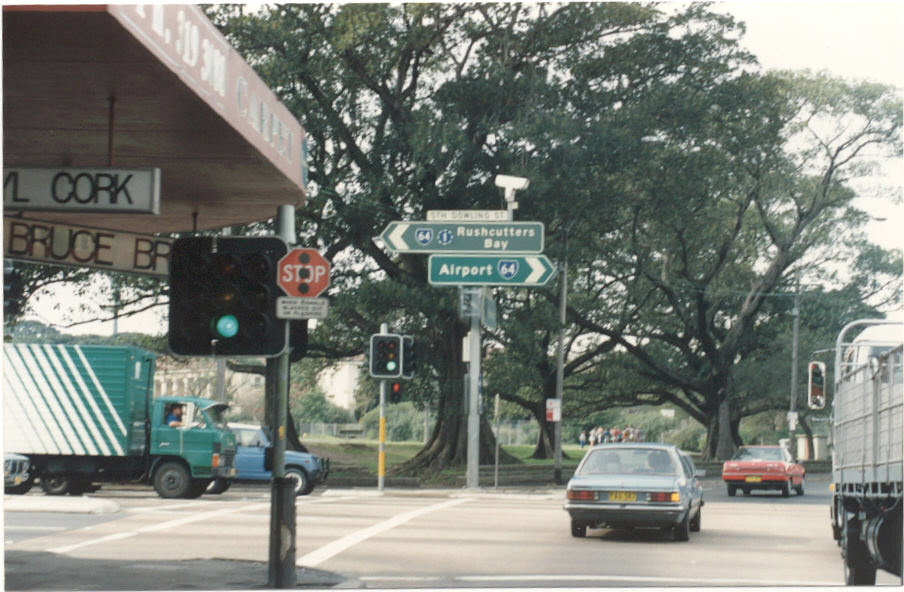
Route - Harris St sb/Wattle St nb, Regent St sb/Abercrombie St nb, Cleveland St, South Dowling St, Barcom Ave, Boundary St, McLaughaln Ave nb/Neild Ave sb
Replaced By - State Route 11 in 1974. SR11 was later decomssioned in 1993.
Ring Road 3:
Extremities - Mona Vale to Blakehurst
Route - Mona Vale Rd, Ryde Rd, Lane Cove Rd, Devlin St, Church St, Concord Rd, Leicester Ave, Albert Rd, Strathfield Square, The Boulevard, Coronation Pde, Punchbowl Rd, King Georges Rd
Replaced By - State Route 33 in 1974. SR33 was later replaced by Metroad 3 in 1993, except from Rhodes to Wiley Park which became SR27
Ring Road 5:
Extremities - Pearces Corner (Wahroonga) to Hurtsville
Route - Pennant Hills Rd, Church St, Woodville Rd, Henry Lawson Drive, Forest Rd (terminating at King Georges Rd)
Replaced By - State Route 55 in 1974. The Pennant Hills Rd section was later replaced by SR77 (1989) then Metroad 7 (1993)
Photos of Ring Road signage |
|
 |
Very old Ring Road sign showing Capital Lettering on Cleveland St at Chalmers St, Surry Hills. 1991. |
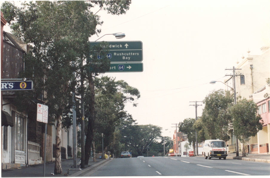 |
Ring Road shields on AD sign - Cleveland St eastbound approaching South Dowling Street. 1991. |
 |
Ring Road shields on AD sign - Cleveland St westbound approaching South Dowling Street. 1991. |
 |
Cleveland St ID sign with Ring Road 1 shield. 1991. |
 |
ID signs including Ring Road shield and freeway green background. 1991. |
 |
South Dowling St southbound approaching Flinders St, Darlinghurst. 1991. |
Ring Road 3 trailblazer being erected on Mona Vale Rd. 1964. Source: Main Roads Vol. 30, No. 1 (Department of Main Roads, 1964) |
|
 |
Ring Road 5 sign at the Mecano Set. 1973. |