PACIFIC HIGHWAY
Section: Woolgoolga to Corindi
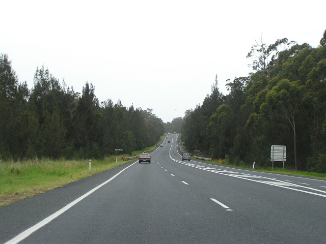
Looking north to Darkes Creek, between Safety Beach and Mullaway Drive. Nov 2005.
This 14km section of the highway stretches from the Safety Beach to the tiny locality of Corindi, adjacent the beginning of the Dirty Creek Range deviation. Entirely single carriageway, but with frequent overtaking lanes, this section of the highway carries in excess of 10,500 vpd (between Sherwood Creek Rd and Corindi Beach ).
Through the late 1950 to the mid 1980s the Department of Main Roads carried out an extensive reconstruction programme which realigned the highway for much of its length, leaving several abandoned sections of the original highway, mainly retained for local use.
At the Safety Beach turnoff - Safety Beach Drive/Bark Hut Road , a short deviation was constructed to the east of the original highway alignment (which now provides access to/from Bark Hut Rd ). I am not 100% sure of the construction date but the Department of Main Roads Annual Report of 1957 notes that “a deviation 0.4 mile long just north of Woolgoolga, to connect two new concrete bridges” has been completed. While the two concrete bridges sound more like the structures across Woolgoolga and Poundyard Creeks, the plates on those bridges say 1958 and 1959 respectively. So, for that reason, I believe the report is referring to the short deviation at the Safety Beach turnoff.
Only a short distance further north, at Mullaway Drive , the original highway exists at Whitton Place on the eastern side of the present alignment. Most likely constructed at the same time as the deviation at Safety Beach , it involved straightening the highway and providing a new junction with Mullaway Drive . Unfortunately there are no bridges plates to give me a date for construction.
The next section, adjoining to the north, is the Wedding Bells Deviation (named after the State Forest through which the highway passes), stretching from Arrawarra Creek to the Corindi Beach turnoff (Tasman St). Commenced in 1982 to replace a “flood prone section of Highway with poor alignment and weak pavement at Wedding Bells State Forest ”1, construction was completed during the 1984/85 financial year. Remnants of the original highway are now either abandoned or remain as local service roads, the most notable one being Eggins Drive on the eastern side of the deviation for approximately 2km at Arrawarra.
At Corindi Beach , the original route of the highway was via Coral Street (which continued due south from Pacific Street prior to the construction of the deviation around Corindi beach). A deviation to bypass the tiny coastal village was constructed in 1980 and included a new bridge across the Corindi River . In Corindi Beach itself a smaller realignment just south of the intersection with Red Rock Rd was completed at an earlier date.
On the north side of Corindi, the bridge over Cassons Creek was constructed in 1953. Along with the construction of this bridge, which replaced a single-lane timber structure on a poor alignment, the approaches to the bridge were realigned, abandoning what is now Blackadder Road .
As part of the Pacific Highway Upgrading Programme, initially no improvements were planned for the highway between Woolgoolga and the Dirty Creek Range as it is of high standard with traffic volumes below the 12,000 figure for duplication. However, in November 2004, planning projects covering sections of the highway that had not been covered previously were commenced. This section of the highway falls under the scope of Woolgoolga to Wells Crossing. Currently the project is still in the early stages of planning, with route options released for public comment in October 2005. All options duplicate the existing highway south of Corindi Beach , while some include bypasses of Corindi village, and new alignments across the Corindi River to reduce the likelihood of flooding. South of Arrawarra Creek, the highway falls under the scope of the Sapphire to Woolgoolga Upgrade, which includes a lengthy western bypass of Woolgoolga. This project is currently in the EIS preparation stage.
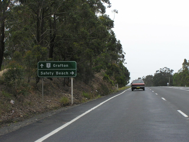 |
Northbound AD sign approaching Safety Beach Rd. Nov 2005. |
 |
Looking north just north of Safety Beach Rd - the service road on the left is the original alignment of the highway. Nov 2005. |
 |
Southbound AD sign for Mullaway Drive. Nov 2005. |
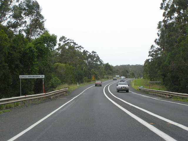 |
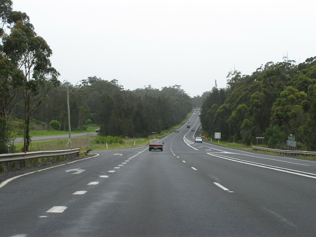
Looking north at Little Arrawarra Creek. Note the unusually widely spaced centre lines - an effort to minimise head-on collisions by providing mor room between opposing traffic flows. Nov 2005. |
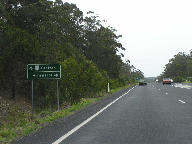 |
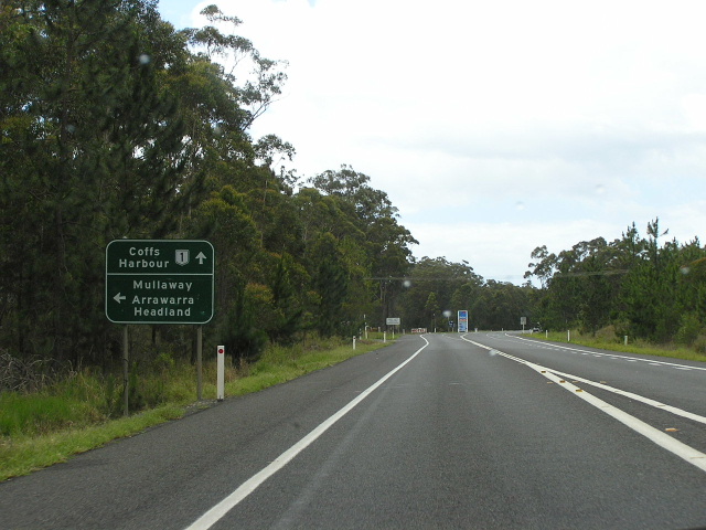
Northbound AD sign for Arrawarra Beach Rd. Nov 2005. |
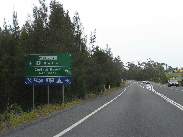 |
Northbound AD sign for Tasman St at Corindi Beach. Nov 2005. |
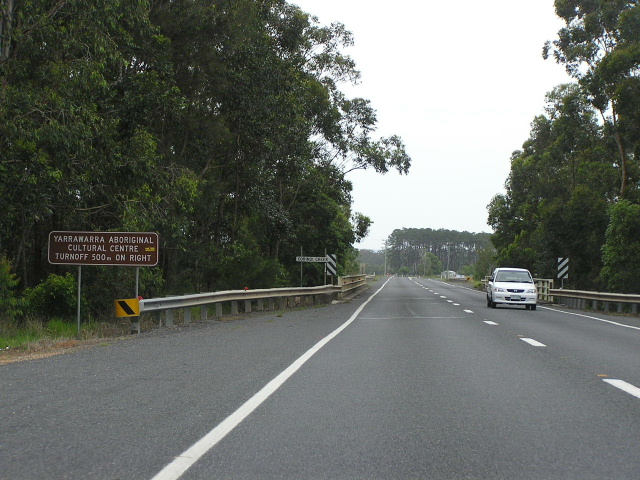 |
Looking north along the deviation around Corindi Beach, approaching Corindi Creek (also known as Corindi River). Nov 2005. |
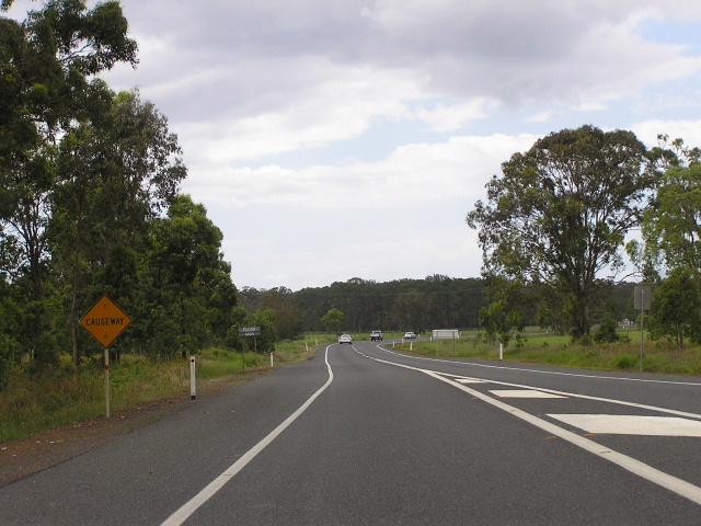 |
Low-lying causeway section across the Corindi River floodplain. Nov 2005. |
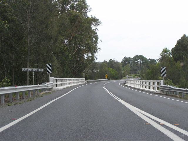 |
Looking north across Cassons Creek. Nov 2005. |
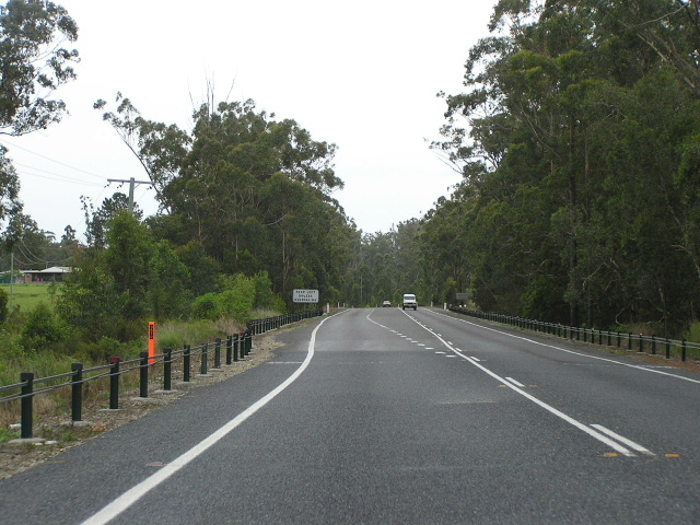 |
Raised section north of Cassons Creek. Nov 2005. |
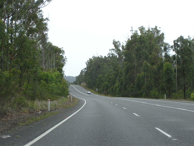 |
Looking north just north of Corindi. Nov 2005. |
|
Old Pacific Highway (Coral St & Blackadder Rd) |
|
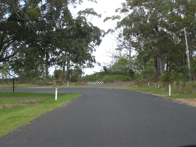 |
Looking south along Tasman St at Pacific St. A miund of earth prevents motorists from rejoining the Pacific Hwy at this point. Nov 2005. |
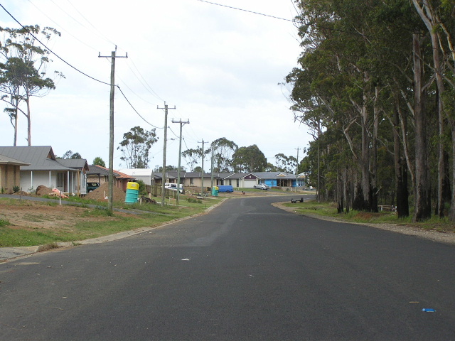 |
Looking south along Tasman St through Corindi Beach. Note the new houses going up. Nov 2005. |
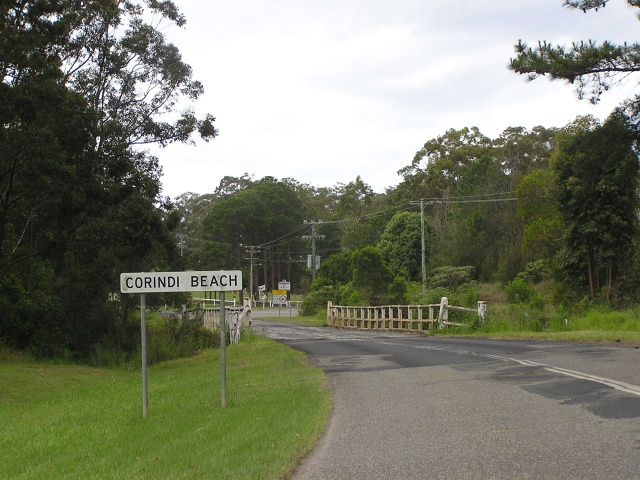 |
The old timber bridge over Corindi River. Nov 2005. |
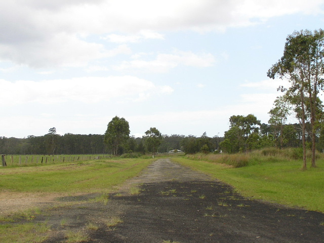 |
Section of the old highway on Blackadder Rd near Cassons Creek. Nov 2005. |
1. Department of Main Roads; Annual Report 1984/85; November 1985; p. 20