PACIFIC HIGHWAY
Section: Warrell Creek/Donnellyville
Looking south through Warrell Creek village. Nov 2005.
This section of the Pacific Highway is 9km long, stretching from Upper Warrell Creek Rd to the just north of the Warrell Creek bridge about 3km south of Macksville. Currently single carriageway, this section has recently been brought under the scope of the Macksville to Urunga Upgrade project after originally being its own $50 million dual carriageway upgrade. But more on that later.
After crossing Upper Warrell Creek, the highway winds its way into the small township of Warrell Creek. Several curves in this region are signposted with warning signs that indicate trucks could tip if they take the corner too fast, which suggests to me this is an accident black spot. The New South Wales Government had originally planned a $50 million realignment and upgrade to dual carriageway standards through Warrell Creek, however this has been put on hold following community requests for a western bypass of Macksville to be investigating as part of the Macksville to Urunga Upgrade. A western bypass would most likely leave the existing route of the highway south of Upper Warrell Creek, thus eliminating the need for a realignment of the existing highway through Warrell Creek. The upgrade is currently in the route selection stage.
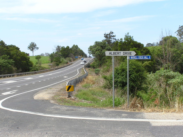
Just north of the Warrell Creek township, a 2km deviation including new bridges over the North Coast Railway, Rosewood Creek and Crouches Creek was completed in December 1987. The old highway route, now a local road known as Albert Drive , was flood-prone and had a bad accident history. The old highway also crossed the North Coast Railway at a subway with very tightly-angled approaches.
North of Donnellyville, the highway has a high-standard alignment and is proclaimed a motorway as it crossed Warrell Creek and heads north into Macksville. The current route of the highway was constructed as a 2 mile long deviation to replace an old narrow timber bridge on a poor alignment, which had been in service since July 1908. Furthermore the old alignment passed across Hunt’s Flat, a section of the Warrell Creek floodplain that was subject to regular flooding. The Department of Main Roads, in its journal Main Roads, noted that this deviation was “the first stage of a deviation of the Pacific Highway which will eliminate the low-level railway underpass near the village of Warrell Creek.”1 The bridge over Warrell Creek and associated deviation was opened to traffic on 21 May 1971, but the supposed second stage of the deviation near Warrell Creek would not be completed for another sixteen years.
No trace of the old bridge or its approaches remain, however part of the southern section of the old highway is still in use and is now part of Scotts Head Rd which is bridged by the highway bridge over Warrell Creek.
The $20 million Warrell Creek Deviation project, which would realign and duplicate the Pacific Highway between Upper Warrell Creek and Warrell Creek, was designed in the late 1990s and slated for construction around 2004/2005. However, the decision to expand the study area for the Macksville-Urunga Upgrade to include possible western bypasses of Macksville the Warrell Creek Deviation was put on hold, pending a decision on the preferred route option. The preferred route was released in December 2005 and incorporates an eastern bypass of Macksville which branches from the existing highway near Bald Hill Rd, thus still requiring the Warrell Creek Deviation to be constructed. The design on the Deviation, which is of a lower standard than that of the Macksville-Urunga Upgrade, is currently being reviewed with particular attention paid to noise attenuation, property access and curve radii.
Current route of Pacific Highway |
|
 |
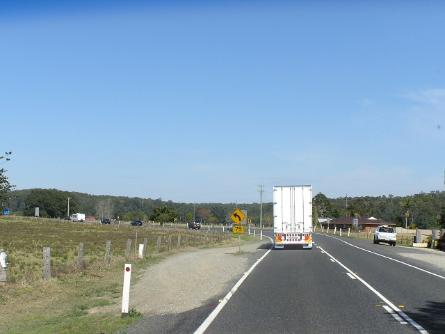
Looking south across Upper Warrell Creek. Aug 2004. |
 |
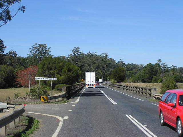
Heading south through Warrell Creek village. The divided road is a godsend if you are stuck behind semi-trailers trying to negotiate the bends throguh Warrell Creek. Aug 2004. |
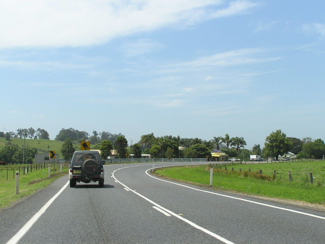 |
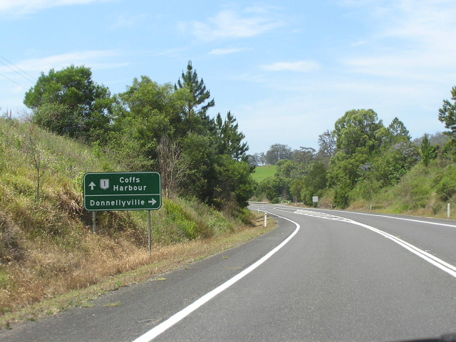
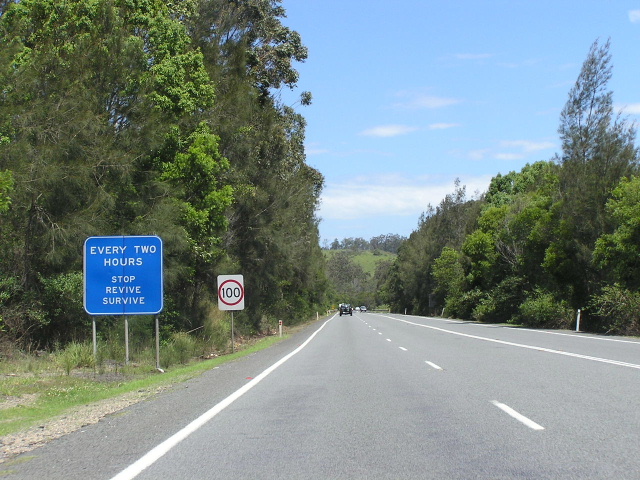
Looking north into Warrell Creek village. Nov 2005. |
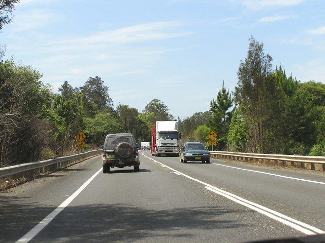 |
Heading north on the deviation between Warrell Creek and Donnellyville. Nov 2005. |
 |
Northbound AD sign for the northern junction with Albert Drive (old Pacific Hwy). Nov 2005. |
 |
Looking north at the northern junction with Albert Dr. The bridge in the background carries the highway over Crouches Creek. Nov 2005. |
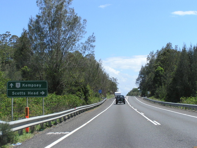 |
Southbound AD sign for Scotts Head Rd. Nov 2005. |
 |
Looking north to the bridge over Warrell Creek. Nov 2005. |
|
Southbound AD sign for Scotts Head Rd. Nov 2005. |
 |
Looking south towards the bridge over Warrell Creek. Nov 2005. |
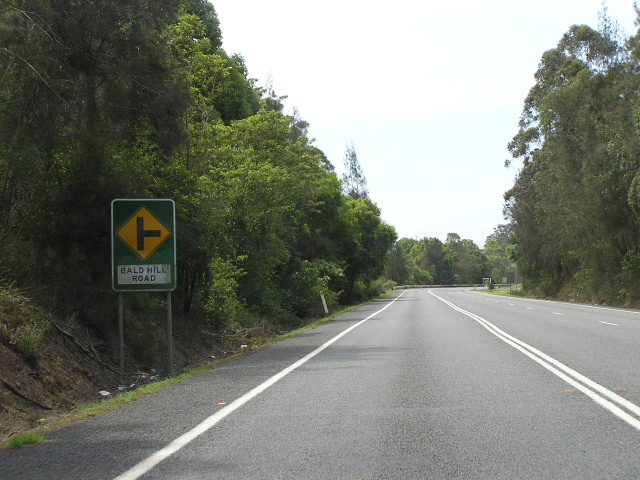 |
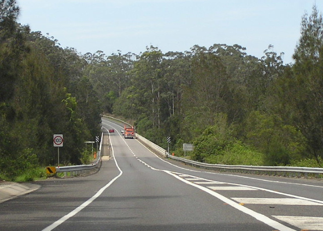
Looking north approaching Bald Hill Rd at the northern end of the deviation associated with the construction of the bridge over Warrell Creek. Nov 2005. |
|
Old Pacific Highway (Albert Drive & part of Scotts Head Rd) |
|
 |
Looking south at the old rail subway. Note the poor alignment of the roadway and the remnants of yellow line-marking. Nov 2005. |
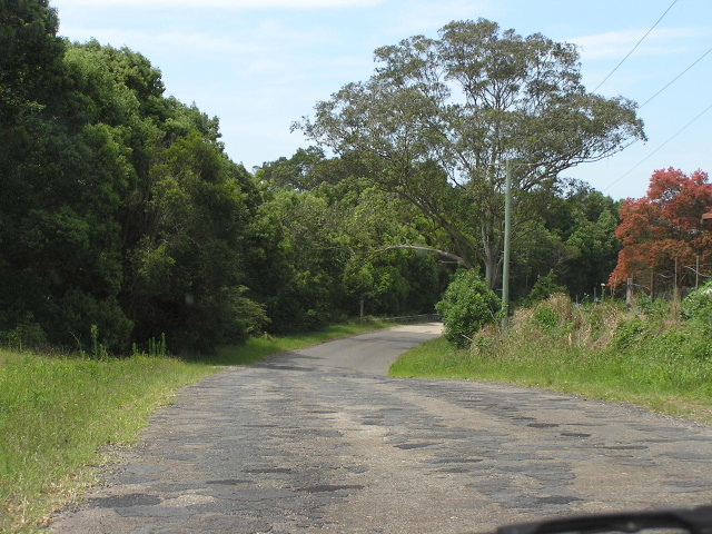 |
Looking north towards the rail subway. Note the badly deteriorated pavement and the floodway in the background. Nov 2005. |
 |
Scotts Head Rd looking north. You can see the traces of the old road formation which lead to the old bridge over Warrell Creek. The former T-junction with Scotts Head Rd has been converted into a 25km/h curve. Nov 2005. |
1. Department of Main Roads; Main Roads Vol. 36 No. 4; June 1971; p.104