PACIFIC HIGHWAY
Section: Nambucca Heads/Valla
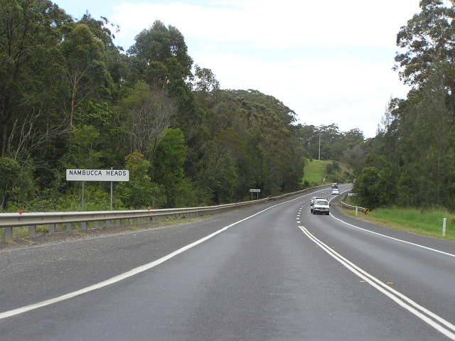
Looking south into Nambucca Heads - but it seems the population has been wiped out! :p
This section of the highway, stretching 9km from Bellwood to Valla Beach Road , is the result of two deviations constructed back-to-back by the Department of Main Roads in the late 1970s and early 1980s. It is currently single-carriageway, with limited-access conditions and several overtaking lanes, bypassing the large town of Nambucca Heads and the tiny village of Valla .
As early as the 1930s, consideration was given to bypassing Nambucca Heads. At that time, a line was selected along the Old Coast Rd , leaving the existing highway near Newee Creek and passing along a high ridge to the west of Nambucca Heads. However, it was decided to construct shorter deviations to permit better use of the limited funds available and the route was abandoned.
During the late 1950s a bypass of Nambucca Heads was considered again, and this time a line was selected passing just west of the current bypass and was designed to the standard of the time (50 miles per hour). However, by the time construction was pending the design standard had been raised to 60 miles per hour and thus the current line was selected and adopted in 1976. The project was named the Bellwood Deviation.
The Department of Main Roads, in its journal Main Roads, describes the deviation thus: “The deviation leaves the existing highway on the southern outskirts of Nambucca Heads at Bellwood Creek, skirts a swamp area on the side of a ridge and passes through a saddle at Bowraville Rd (the Old Coast Rd ). It crosses the Main North Coast Railway Line by means of an overbridge and continues through a saddle at Gordons Knob Rd. After completion of the deviation both the railway level crossing and Gordons Knob Rd were closed to traffic.”1
The old route of the highway - today’s Riverside Drive, Nelson St, Fraser St, Bowra St, Mann St, Railway Rd and Foxs Rd - passed through the commercial centre of Nambucca Heads, had steep grades, was poorly aligned and very narrow along much of its length. Furthermore, the deviation eliminated a poorly aligned timber bridge over Bellwood Creek, long lengths of badly deteriorated pavement, a level crossing on a poor alignment, a timber bridge over Boggy Creek and a narrow culvert over Cedar Creek. It is safe to say that the deviation was a godsend for motorists.
Construction was commenced in mid 1978 and was completed in time for Christmas 1980 - officially opening on the 12 th of December. The 5.3km deviation shortened the route of the Pacific Highway by 2.5km at a cost of $5.4 million.
As construction of the Bellwood Deviation neared completion in 1980 the Department of Main Roads began construction of a north 4.3km deviation - the Deep Creek Deviation - which adjoins the Bellwood Deviation to the north. As well as shortening the length of the highway by a further 1.8km, the Deep Creek Deviation also eliminated several sharp curves, two timber bridges and a lengthy flood-prone section of road at Deep Creek. To achieve flood immunity, the highway was relocated onto higher ground and the new bridge over Deep Creek was constructed 2m above the highest recorded flood level. The deviation was completed in June 1983 at a cost of $3 million.
As part of the Macksville-Urunga Upgrade project, the Deep Creek Deviation will be duplicated to form a dual carriageway road. However, due to extensive ribbon development south of the Bellwood Deviation, it is no longer practicable to duplicate the highway south of Bowraville Rd. I In December 2005 the preferred route for the project was released, involving relocation of the highway to the vicinity of Old Coast Rd, west of Nambucca Heads. The new alignment will rejoin the existing highway just north of the Bowraville Rd overpass, from where new dual carriageways will be constructed on the western side of the existing highway with the existing highway retained as a local service road. An Environmental Impact Assessment is likely to commence by mid-2006.
Current route of Pacific Highway |
|
 |
Distance sign heading south leaving Bellwood. Nov 2005. |
 |
Heading north into Bellwood, this older style tourist town sign informs motorists that the Nambucca Heads turnoff is approaching. Nov 2005. |
 |
Looking south along the Bellwood Deviation. Nov 2005. |
 |
Northbound AD sign for the northern entrance to Nambucca Heads near the Bowraville Rd overpass. Nov 2005. |
 |
Old stule service signage, southbound on the Bellwood Deviation approaching the northern entrance to Nambucca Heads. (DMR) 1980. |
 |
Looking south across Deep Creek on the Deep Creek Deviation. Aug 2004. |
 |
Looking south near Deep Ck Rd. Nov 2005. |
 |
Looking south from Valla Beach Rd. Nov 2005. |
 |
Northbound AD sign for Valla Beach Rd. Nov 2005. |
|
Old Pacific Highway (Riverside Dr, Nelson St, Fraser St, Bowra St, Mann St, Railway Rd, Foxs Rd, Valla Rd, Deep Ck Rd, Blackbutts Rd) |
|
 |
Typical section of the old southern approach to Nambucca Heads (Riverside Dr). As you can see it is very narrow, hugging the cliffs alongside the Nambucca Heads. Nov 2005. |
 |
Looking south along Bowra Street in the commercial centre of Nambucca Heads. I love the concrete pavement! Nov 2005. |
 |
Looking east along Mann Street on the north side of Nambucca Heads. Nov 2005. |
 |
The northern approach to Nambucca Heads - a narrow, winding section of Mann Street. Nov 2005. |
 |
Heavily forested section of Valla Rd. Nov 2005. |
 |
Looking south along Valla Rd through dairying country. Nov 2005. |
 |
Sharp corner just before a timber bridge across Deep Creek at Valla. Nov 2005. |
 |
Looking south to a timber culvert on Deep Creek Rd. Nov 2005. |
1. Department of Main Roads; Main Roads Vol. 45; January 1981; p. 3