PACIFIC HIGHWAY
Section: Mororo to Wardell
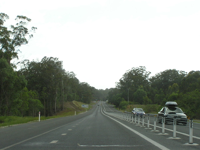
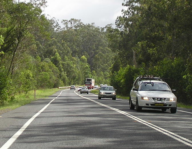
Looking north, just south of New Italy. The median fencing was installed during the latter half of 2005 to prevent head-on collisions. Nov 2005.
This 51km section of the Pacific Highway - probably the longest so far - stretches from just north of Iluka Road at Mororo to just south of River Drive at Wardell. This section is currently all single carriageway, but with frequent overtaking lanes, and is probably the last section to warrant duplication as it carries the lowest traffic volumes (~10,000vpd compared to most other sections which are in excess of 12,000vpd). Significant flooding problems are encountered in the Tabbimoble Creek area (which stretches for about 15km) as several floodways drain a large low-lying area with waters crossing the highway in several places during flooding. This section also achieved fame as one of the sections where even a “Motorway Pacific” upgrading option (i.e. highest standard possible) would not eliminate flooding problems completely without the construction of kilometres of culverts and bridges.
The history of work on this section is rather muddled so excuse me if some of this is a bit hard to comprehend.
First mention of major work between Mororo and Woodburn appears in the 1969 Annual Report of the Department of Main Roads. It mentions that construction of a deviation 45.7-47.1 miles north of Grafton is underway, with a continuation of the work to 50.1 miles north of Grafton about to begin. According to my NRMA map, this should place these works between Thompsons Road and Glencoe Road - near Tabbimoble State Forest . This probably included the bridges over the Tabbimoble Creek’s floodways.
The next mention of major work between Mororo and Woodburn comes in the 1985 Annual Report of the Department of Main Roads, which describes a Tabbimoble Creek deviation, 65.9-69.5km north of Grafton. This would place the work 3.6km south of the previous work - into Bundjalung National Park . The DMR notes that the deviation is being constructed to eliminate a narrow, winding, flood-prone section of the highway and that the work was completed during 1986. This probably refers to the bridge over Tabbimoble Creek, which appears to 1980s construction. It would also involve the realignments around Jacky Bulbin, where there are several sections of abandoned highway according to Lachlan Sims.
Recent work between Mororo and Woodburn has seen widening of the roads formation and installation of wire rope fencing as a median barrier along extensive lengths of the highway. The work was completed during the latter half of 2005 for approximately 10km south from New Italy, while, as of November 2005, further widening was underway north from New Italy.
At Gap Road , 4km south of Woodburn, a state funded, 4km realignment of the highway was completed as part of the Pacific Highway Upgrading Programme. The $9.5 million project eliminated a number of sharp crests and bends which had been the scene of a number of heavy vehicles accidents in previous years, as well as providing a new overtaking lane for southbound traffic. The original highway has been retained as a local service road, mostly on the eastern side of the new alignment. Work was commenced in May 1997 and was opened to traffic on 15 May 1998 .
Through Woodburn and Broadwater and from Broadwater north to Wardell the highway closely follows the south bank of the Richmond River . Between Woodburn and Broadwater the highway cuts a direct alignment through Broadwater National Park rather than following a bend in the river through Rileys Hill. The way Rileys Hill Road and the Pacific Hwy meet at the south end suggest that Rileys Hill Road was the original route of the highway. Searches of old maps have revealed that, if a deviation was constructed to bypass Rileys Hill, it was constructed prior to 1950. Searches of Department of Main Roads reports and journals have, so far, failed to shed any light on this theory.
As part of the Pacific Highway Upgrading Programme, planning commenced in November 2004 on upgrading the Pacific Highway between Mororo and Woodburn and between Woodburn and Ballina. Between Mororo and Woodburn it has been decided that the existing highway will be duplicated as far as possible with only minor diversions from the route and that the existing road reserve will be used as far as possible. Residents have expressed concern about access arrangements at New Italy and Jackybulbin, however it is unlikely that traffic volumes will create the demand for grade-separated interchanges at any location along the route. A decision on the preferred design was expected in May 2005 (haven’t heard anything about it) and environmental assessment of the project should commence in mid-2006.
From Tuckombil Canal (southern boundary of Woodburn) to Wardell the upgrade of the highway to dual carriageway standard is covered under the scope of the Woodburn to Ballina project. Planning commenced in November 2004 and a preferred route was released on 30 November 2005 . The preferred route leaves the existing highway just north of Tuckombil Canal , bypassing Woodburn to the east and rejoining the existing highway just south of Broadwater National Park . The existing highway will be duplicated through Broadwater National Park , utilising the existing road reserve, before a bypass of Broadwater will take the highway to the east of town before crossing the Richmond River on twin 850m long bridges near the end of Back Channel Road . Wardell will be bypassed to the east, whilst avoiding an aboriginal land grant and sensitive areas of Wardell Heath, and the existing highway alignment rejoined approximately 4km north of Wardell. Environmental assessment of the new route is likely to begin by mid-2006.
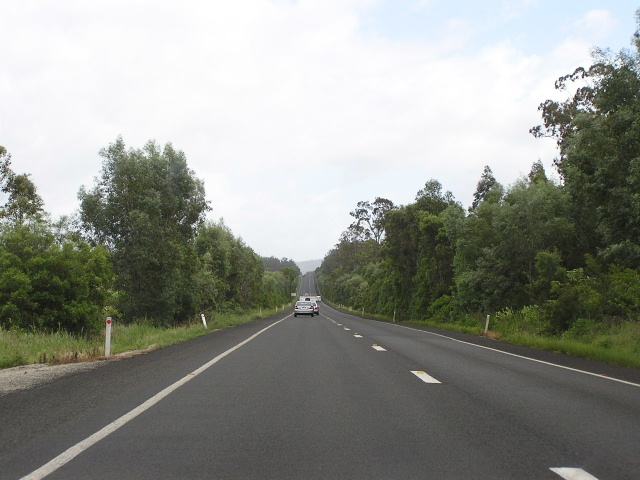 |
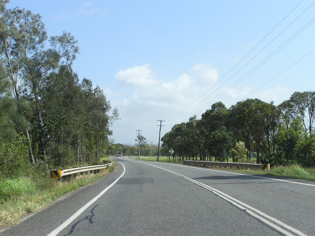
Looking north between Mororo and Jacky Bulbin. I'd have to say this is the most boring section of the Pacific Hwy. Nov 2005. |
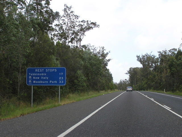 |
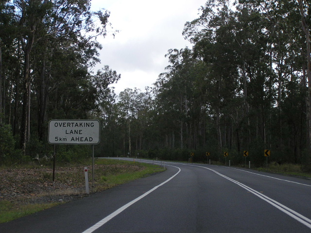
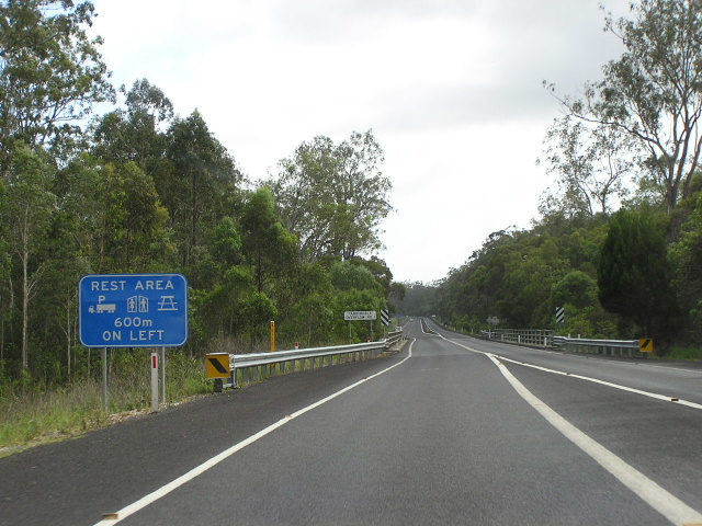
Typicla recent rest area signage, designed to combat fatigue by providing motorists with information on where their next areas are. I think these signs are a let down as they rarely mention towns unless there is a dedicated rest area. Nov 2005. |
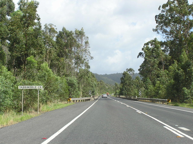 |
Looking north across Tabbimoble Creek at Jacky Bulbin. Nov 2005. |
 |
Heavy southbound traffic between Jacky Bulbin and Tabbimoble. Nov 2005. |
 |
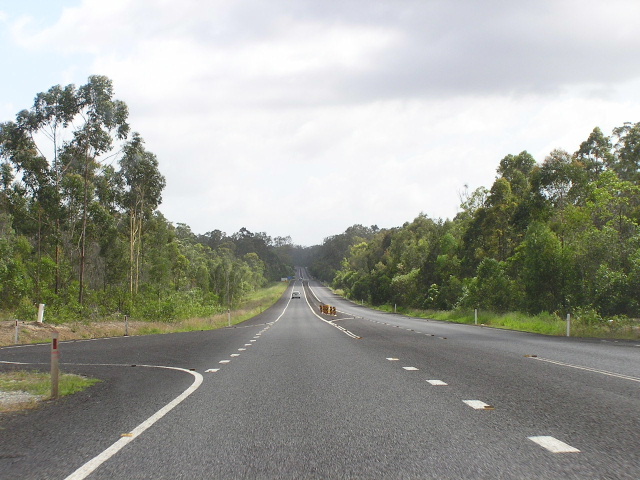
Heavily forested, curvy section through Bundjalung National Park and Devils Pulpit State Forest. Nov 2005. |
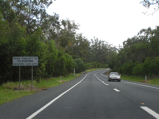 |
Section which is subject to flooding (one of the many flood-susceptible sections) north of Jacky Bulbin. Nov 2005. |
 |
Looking north, showing new median wire fencing installation. Extensive lengths of this style median fencing have been erected in this area during the latter half of 2005. Must have had a problem with illegal/unsafe overtaking. Nov 2005. |
 |
Looking north at one of Tabbimoble Creek's three floodways that cross the Pacific Hwy. Note the median fencing ends just before the bridge, which is rather dangerous. Nov 2005. |
 |
Northbound approaching New Italy, showing more wire rope fencing installed to separate opposing traffic flows. Nov 2005. |
 |
Looking north from New Italy, showing further work to widen the formation for an overtaking lane and wire rope fencing. Nov 2005. |
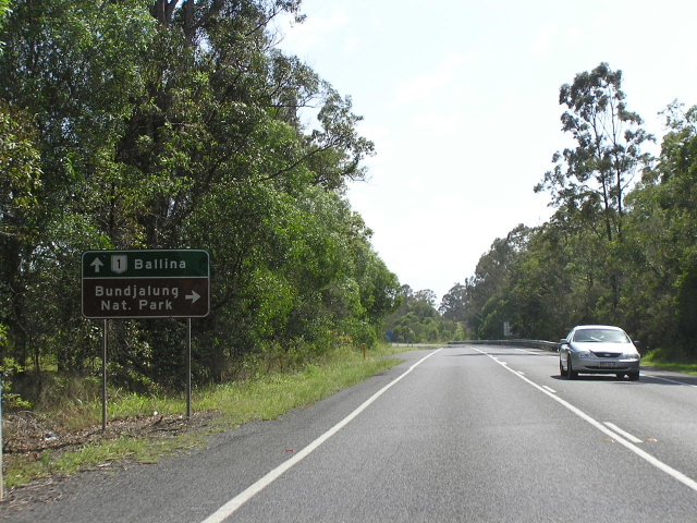 |
AD sign northbound approaching Gap Rd, 4km south of Woodburn. Nov 2005. |
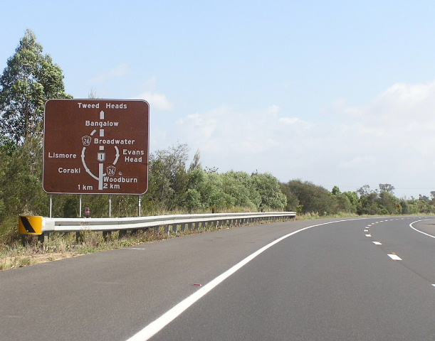 |
Unusual diagrammatic AD sign for the two tourist drives that branch off the highway in Woodburn. TD26 goes rejoins the highway at Broadwater via Evans Head while TD24 goes via Coraki and Lismore to rejoin the highway north of Bangalow. Nov 2005. |
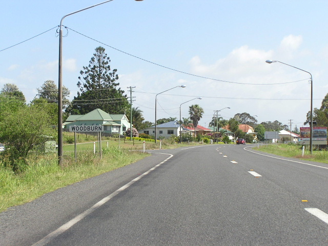 |
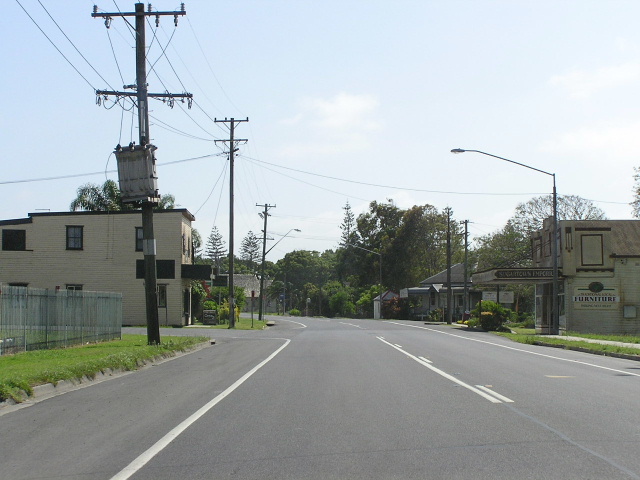
Looking north into Woodburn. Nov 2005. |
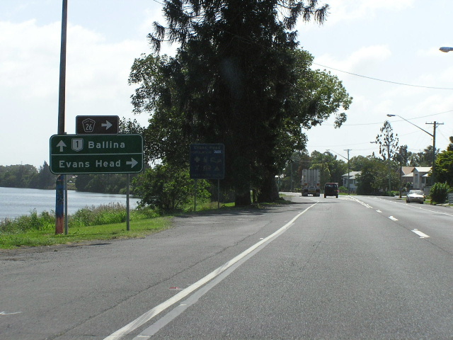 |
Northbound AD sign for the turnoff to Evans Head in Woodburn. Note the highway is sandwiched between ribbon development and the Richmond River. Nov 2005. |
 |
Looking north on the northern outskirts of Woodburn. Nov 2005. |
 |
Looking north towards Broadwater National Park. I reckon the original route of the highway in this area was Rileys Hill but maps dated 1950 and later show the highway in its present location. Nov 2005. |
 |
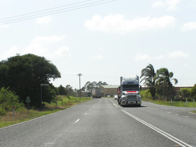
Looking north in Broadwater. Nov 2005. |
 |
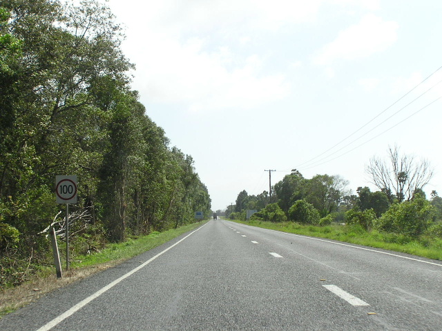
Looking north between Broadwater and Wardell. Nov 2005. |