PACIFIC HIGHWAY
Section: Maclean/Harwood
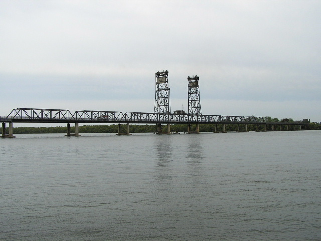
View of the Harwood Bridge over the Clarence Riuver South Arm from the old ferry landing at Harwood. Nov 2005.
This 8km section of the highway encompasses the Maclean bypass and the Harwood Bridge over the South Arm of the Clarence River , both of which were constructed simultaneously.
In August 1928, when State Highway No. 10 was declared, its route passed through the town of Maclean , winding its way alongside the Clarence River and following what is now Cameron Street , River Street and Yamba Road . Five kilometres north of Maclean, the highway crossed the South Arm of the Clarence River via a punt which landed at the end of Morpeth Street in Harwood on the north side of the river. The punt was located just to the upstream side of the current bridge across the river.
Unlike its sister ferry - across the North Arm of the Clarence River at Mororo, the Harwood Punt did not get an early retirement and served Pacific Highway motorists for many years following World War 2. However, it was a major bottleneck, particularly in peak holiday times and traffic would often line up for more than one kilometre on either side of the river. The pub in the tiny village of Harwood made quite a business out of serving travelers that were stuck in the traffic waiting to cross the ferry.
When the Department of Main Roads conducted travel surveys following World War 2 to help prepare a plan for the construction of the State’s main roads, they used Harwood Ferry as a location where travelers would stop and fill out the survey forms.
Finally, in the mid 1960s, construction began on a bridge over the Clarence River South Arm to replace the Harwood Ferry. The site for the bridge had been selected many years earlier but the need to fund other projects and a post-war shortage of steel had delayed construction timetables. A steel-truss bridge with a vertical lift span was selected as the preferred design and it would turn out that Harwood Bridge would be the last ever steel truss bridge constructed by the Department of Main Roads. Evolution in concrete bridge design meant that steel was no longer the most suitable material for bridge structures.
The southern approach was designed as a 6km long single-carriageway motorway-standard bypass of Maclean and this was constructed simultaneously with the main bridge structure. The intersection with Yamba Road was grade-separated (with the road skirting the south bank of the river the DMR didn’t have much choice) but an at-grade intersection provided access to/from the bridge and Harwood village.
Celebrated with much fanfare, the Harwood Bridge and Maclean Bypass were opened to traffic in August 1966, replacing the last ferry on New South Wales ’ State Highway system and relieving a notorious bottleneck - Maclean town centre. This was also the first of many major town bypasses that would eventually be built on the Pacific Highway .
However, since opening of the bridge and bypass not much has changed! One overtaking lane - for northbound traffic north of Brooms Head Rd - has been added to the Maclean Bypass as well as a truck stopping bay but serious upgrades were not included as part of the ten-year Pacific Highway Upgrading Programme (1996-2006). However, in November 2004, planning commenced for the upgrading of the Pacific Highway to motorway standard between Wells Crossing and Iluka Road . Two of the four route options make use of the existing Maclean Bypass, while the other two join the Harwood Bridge from further west. A decision on a preferred route option is expected during December 2005.
|
Current route of Pacific Highway |
|
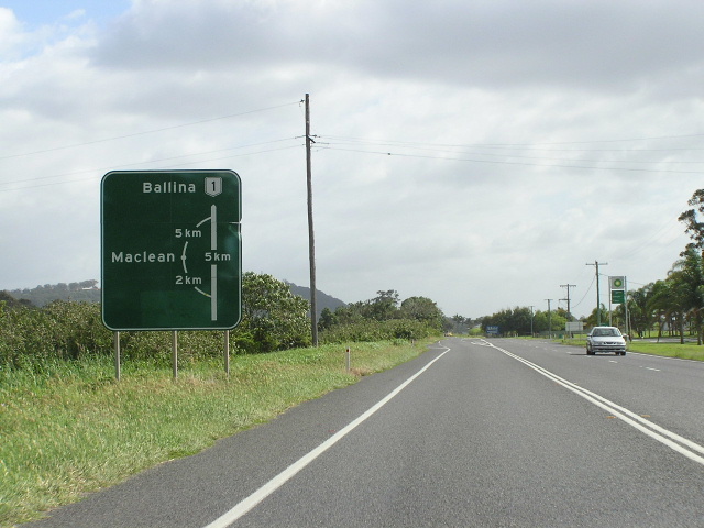 |
Northbound diagrammatic AD sign for the Maclean Bypass. Nov 2005. |
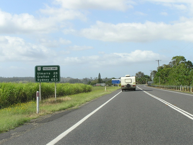 |
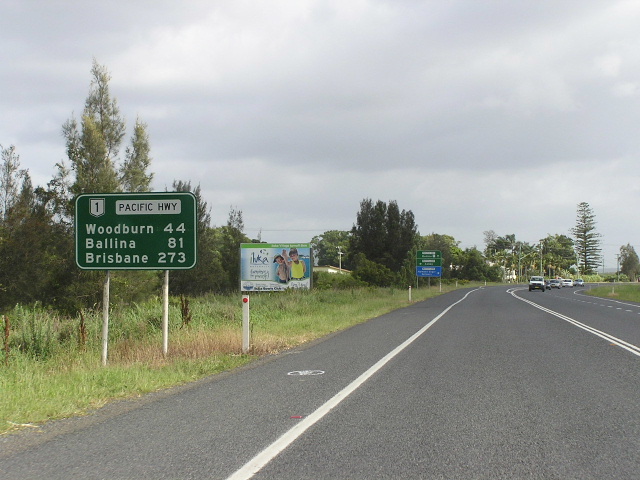
Distance sign heading south from Maclean. Nov 2005. |
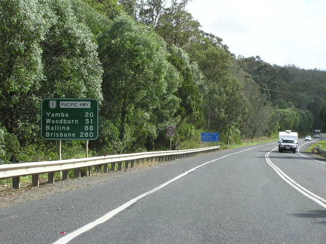 |
Distance sign heading north on the Maclean Bypass. Nov 2005. |
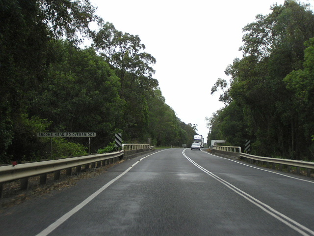 |
Looking north along the Maclean Bypass at Brooms Head Rd. Nov 2005. |
 |
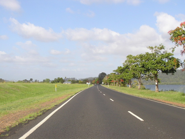
Looking north at Farlows Lane, the transition between forested mountainside and the irrigated land flanking the Clarence River. Nov 2005. |
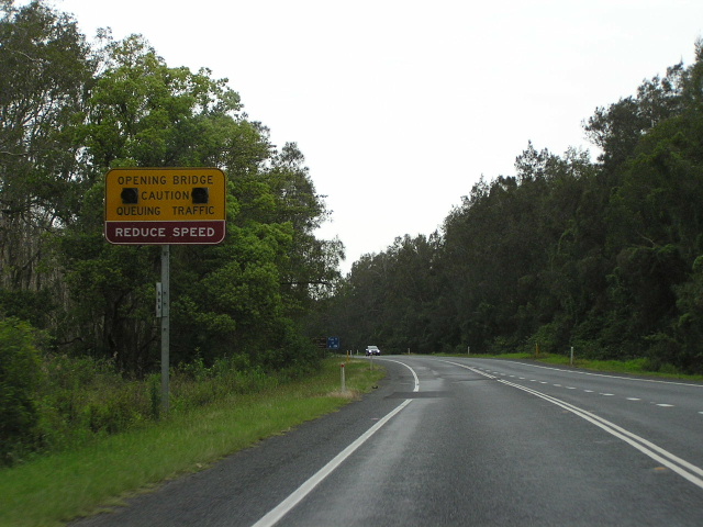 |
Sign warning motorists that the Harwood Bridge does open and that there may be queuing traffic, northbound approaching Yamba Rd. Nov 2005. |
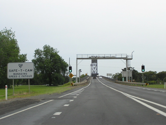 |
Looking north to Harwood Bridge at the Yamba Road interchange. Nov 2005. |
Looking north across Harwood Bridge. Nov 2005. |
|
 |
Looking south to Harwood Bridge. Nov 2005. |
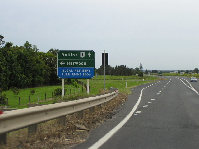 |
Northbound AD sign for Morpeth Street - the old highway and access to/from Harwood for northbound traffic. Nov 2005. |
 |
Distance sign heading north from Harwood. Nov 2005. |
|
Old Pacific Highway (Cameron St, River St, Yamba Rd, Morpeth St) |
|
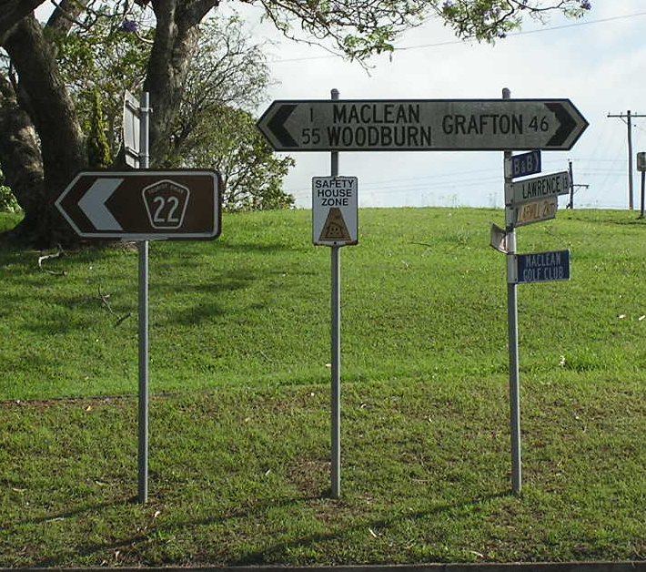 |
Unusual style and focal points for this fingerboard sign at the junction of Cameron St & the approach to MacFarlane Bridge. Nov 2005. |
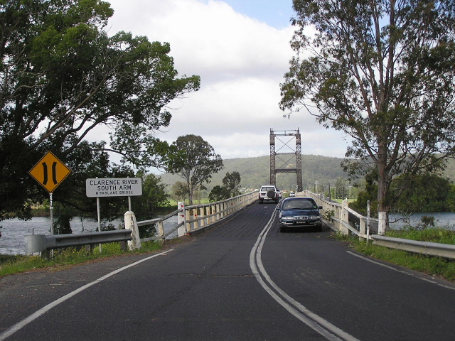 |
Not quite on the old highway but cool nonetheless - this old timber bridge (MacFarlane Bridge) with an opening span carries traffic on Main Road No. 152 across the South Arm of the Clarence River. Nov 2005. |
Looking north across MacFarlane Bridge. Note that northbound traffic has to give way to southbound traffic across the narrow, single-lane opening span. Nov 2005. |
|
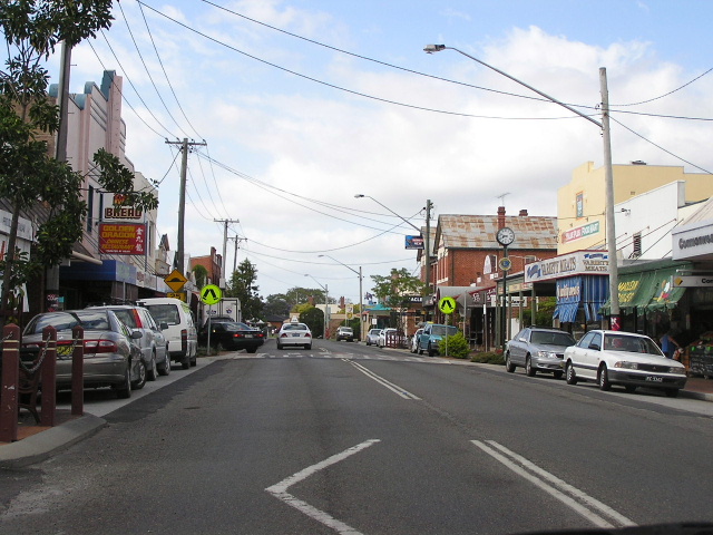 |
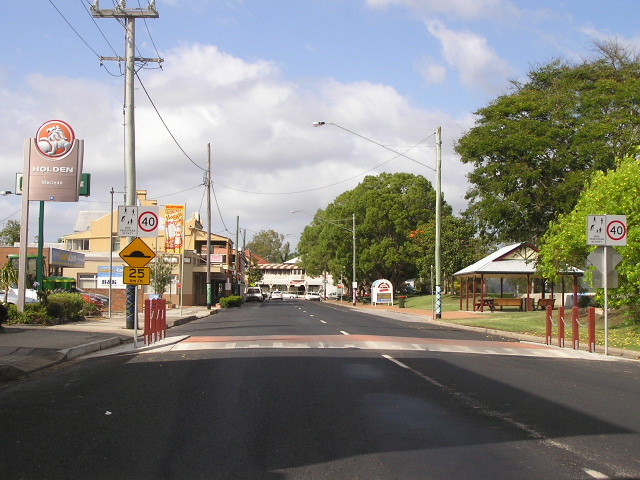
Looking south along River Street through Maclean town centre. Nov 2005. |
 |
Looking south along River Street approaching the S-bend in the middle of town. Nov 2005. |
 |
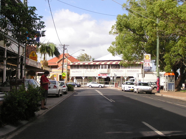
Looking south into the town centre along River Street. Nov 2005. |
 |
Looking south along Yamba Road towards Maclean. The Clarence River is on the right of the road. Nov 2005. |
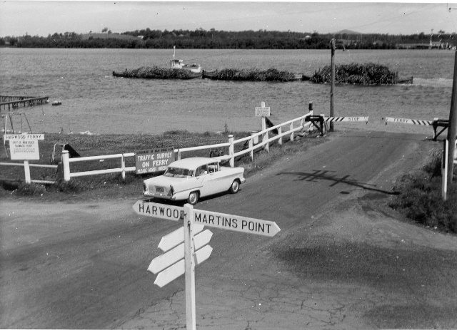 |
1950s view of the Harwood ferry landing. (DMR) |
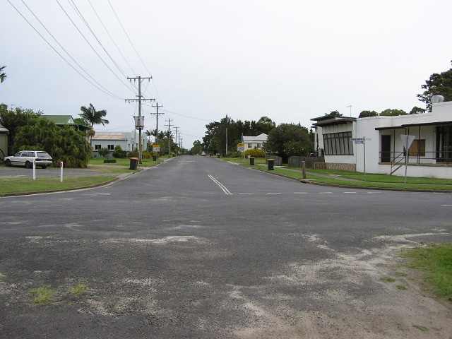 |
Looking north along Morpeth Street in Harwood. Nov 2005. |
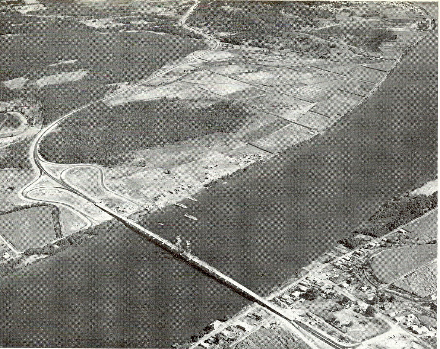 |
Aerial view of the newly-opened bridge and Maclean Bypass in 1966 (DMR) |