PACIFIC HIGHWAY
Section: Kempsey to Eungai Rail
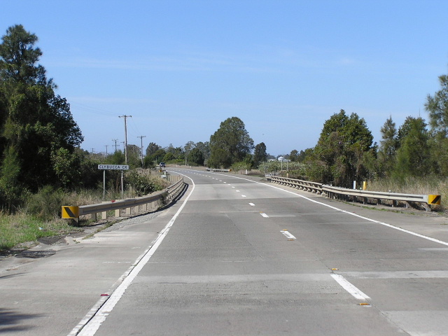
Looking north across Clybucca Creek. Nov 2005.
This section of the Pacific Highway is 29km long, stretching from the junction with Second Lane on the northern outskirts of Kempsey to the bridge over the North Coast Railway at Eungai Rail. Much of the route is located along low-lying ground, following the Macleay River north to Seven Oaks, thence crossing the notorious Clybucca Flat to Eungai Rail.
The alignment of the highway has remained static since its declaration as the “ North Coast Highway ” (but still State Highway No. 10) in August 1928. However, some notable works have improved conditions for the traveling public over the years.
Just north of Second Lane , a 4km deviation of the Pacific Highway was completed in April 1992 which included two new bridges over Christmas Creek and Easter Creek. No traces of the original alignment of the highway remain.
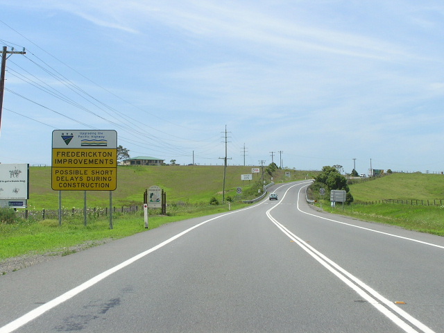
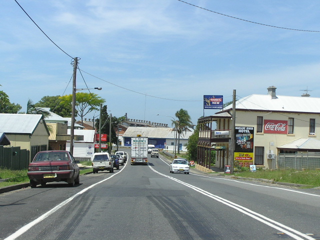
At Frederickton, a small town lining the highway about 5km north of Kempsey, improvements to the highway were undertaken during 2004 to provide protected right turn bays and a parking lane along much of the main street. The works, which were completed in early 2005, have benefited local residents and businesses who now have safer access to the highway. Motorists can now also park their cars and get out and stretch their legs without fear of being hit by traffic on the highway.
Further north, at the notorious Clybucca Flat, the Department of Main Roads had its hands full for many years trying to work out how to keep the road in a trafficable condition following the many floods of the Macleay River . During the October 1949 flooding, the highway at Clybucca was submerged as far as 20-25 feet below the water level. Of course, flooding like this presents a major drainage issue for the pavement and the need to reopen the highway to heavy traffic as soon as possible following a flood meant that significant lengths of pavement were experience severe failure. To combat this unusual problem, the Department of Main Roads decided to use an innovative solution known as continuously reinforced concrete pavement. The concrete provides a much stronger and more durable surface and base than the standard asphalt and bitumen pavements, while the control of shrinkage eliminates the need for transverse joints which were an undesirable feature of earlier concrete pavements. Work was commenced in August 1975 and completed in twelve months. An interesting article from the Department of Main Roads’ journal “Main Roads” can be viewed HERE.
Whilst the concrete pavement solved the problem of excessive maintenance costs, it did not provide flood-free conditions for Pacific Highway traffic. As part of the Pacific Highway Upgrading Programme, a bypass of the Clybucca area has been chosen as the preferred route of construction between South Kempsey and Eungai. Planning for this project commenced in September 2001 and has now reached the preferred route option stage, with a bypass to the east of Kempsey but thence to the west of Clybucca. It will be designed to 1 in 100 year flood levels. No construction timeframe has been released.
PACIFIC HIGHWAY PROBLEM: Clybucca Flat north of Kempsey - Article by Department of Main Roads (1975)
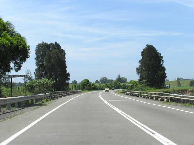 |
Looking north across Christmas Creek. Note how overtaking has been banned along most of the two-lane sections of the Pacific Hwy as a reaction to the amount of head-on collisions that have occurred over the last 10-20 years. Nov 2005. |
 |
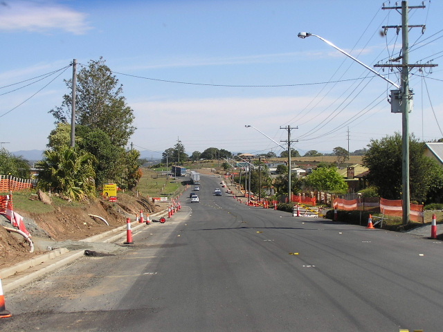
Looking north from the Christmas Creek deviation into Frederickton. Nov 2005. |
 |
A view of the highway through Fredrickton prior to the improvements. |
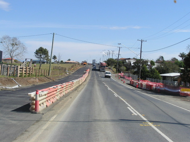 |
Looking south through Frederickton showing construction underway. Aug 2004. |
 |
And again. Aug 2004. |
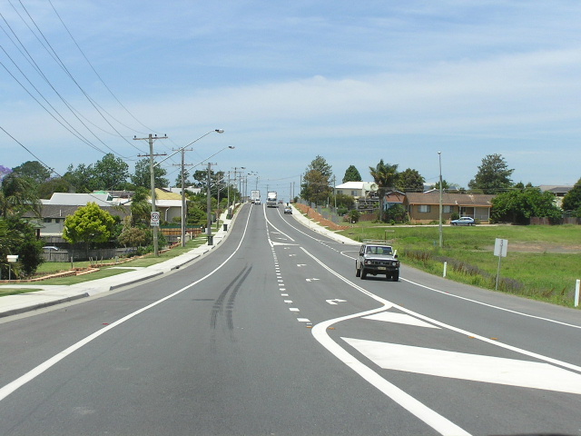 |
Looking north through Fredrickton showing completed improvements. Nov 2005. |
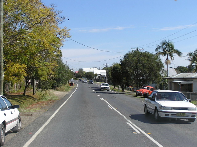 |
Looking south through Frederickton again. This section will not get any improvements. Aug 2004. |
 |
Looking north past Frederickton pub. The truck in front of me is negotiating the 35km/h bend. Nov 2005. |
 |
Looking north into Bellimbopinni. Nov 2005. |
 |
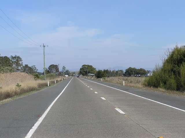
Looking north approaching Seven Oaks. Note how the highway curves to the right but it looks as if it once continued straight. Nov 2005. |
 |
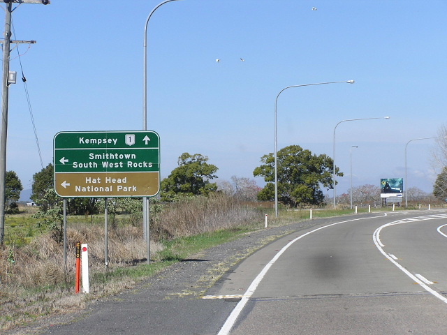
Distance sign heading north from Smithtown Rd at Seven Oaks. Nov 2005. |
 |
AD sign southbound for Smithtown Rd. Since the opening of the Smithtown Bridge over the Macleay River in the 1970s this has become a popular alternative route for through traffic to bypass Kempsey along the eastern bank of the river. Nov 2005. |
 |
Looking south across Clybucca Flat between Smithtown Rd and Plummers Lane. Aug 2004. |
 |
Painted brown AD sign for Plummers Lane (Tourist Drive 12) heading south. Aug 2004. |
 |
Looking south at Clybucca. Note how the original two-lane concrete pavement has been widened during the late 1990s to provide an overtaking lane for southbound traffic. Aug 2004. |
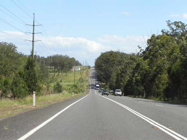 |
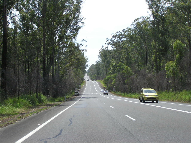
North of the Clybucca Flat the highway passes through heavily forested areas. This photo is looking south between Stuarts Pt Rd and Cooks Lane. Nov 2005. |
 |
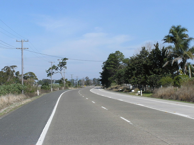
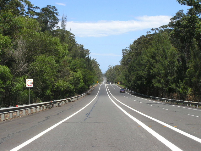
Looking north towards Stuarts Pt Rd. Nov 2005. |
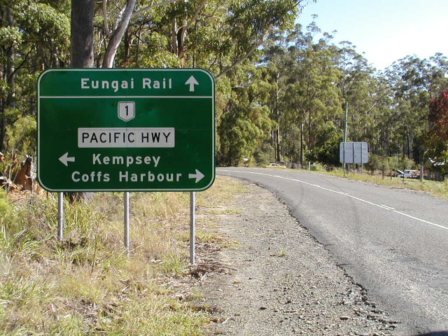 |
AD sign on Stuarts Pt Rd approaching Pacific Hwy near Eungai Rail. Nov 2005. |
 |
Looking south between the railway overpass and Stuarts Point Rd. Nov 2005. |