PACIFIC HIGHWAY
Section: Halfway Creek to South Grafton
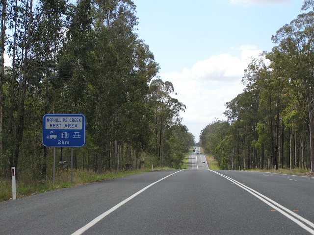
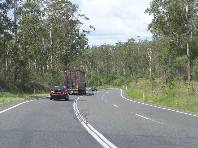
Undulating terrain southbound approaching McPhillips Creek Rest Area. Nov 2005.
This 27km section of the Pacific Highway is single-carriageway with several overtaking lanes in both directions, largely passing through heavily forested areas. The last 3km into South Grafton is subject to flooding and in times of flood, traffic is directed to South Grafton via Lilypool Road or to Ulmarra and points north via Centenary Drive. No major works have been undertaken on this section of the highway to date, other than its bituminous sealing prior to 1958 and the provision of overtaking lanes in the 1990s.
Planning commenced in November 2004 for an upgrade of the Pacific Highway between Wells Crossing and Mororo, known as the Wells Crossing-Iluka Upgrade. Currently in the route selection stage (a preferred option is due to be released in December 2005), all the proposed routes avoid the flood-prone areas at South Grafton, while some cut almost a direct north-south line between Halfway Creek and Harwood, where the Pacific Highway crosses the South Arm of the Clarence River. Whilst the more direct options would be more costly, they would provide the greatest improvement of traveling conditions on the Pacific Highway by shortening the route considerably and avoiding flood-prone areas at South Grafton and along the Clarence River.
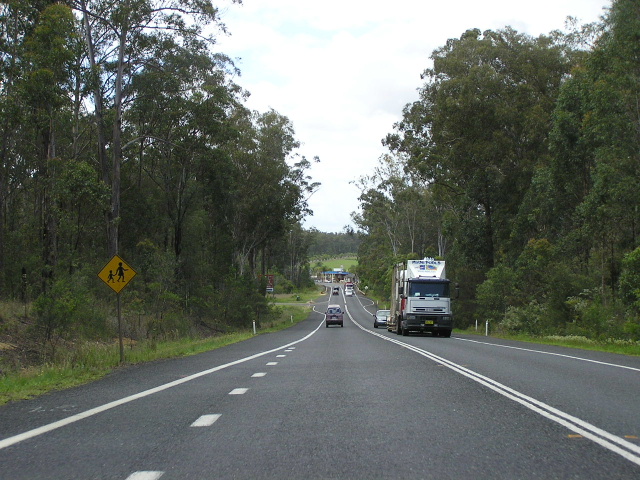 |
Looking south approaching Halfway Creek. Nov 2005. |
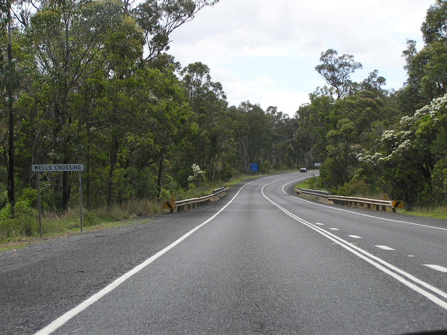 |
Looking south at Wells Crossing. Nov 2005. |
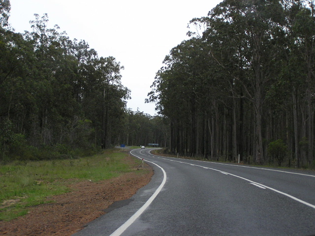 |
Looking north through Glenugie State Forest. Nov 2005. |
 |
Looking south through Glenugie State Forest. Nov 2005. |
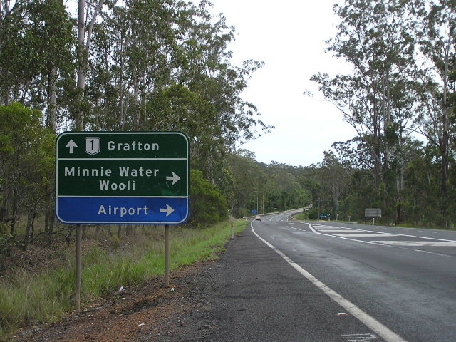 |
Northbound AD sign for Eight Mile Lane (Wooli/Minnie Water turnoff). Nov 2005. |
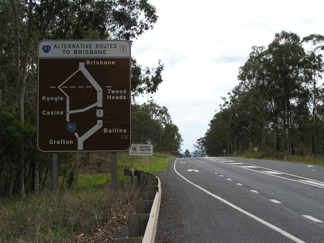 |
Diagrammatic AD sign showing alternative route to Brisbane via Casino, Kyogle and Beaudesert (Summerland Way/Mt Lindesay Hwy). Nov 2005. |
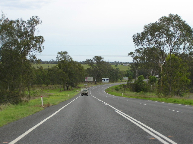 |
Looking north into the low-lying area surrounding South Grafton. In times of flood traffic is directed into South Grafton via Lilypool Rd or to rejoin the Pacific Hwy via Centenary Dr. Nov 2005. |