PACIFIC HIGHWAY
Section: Cowper
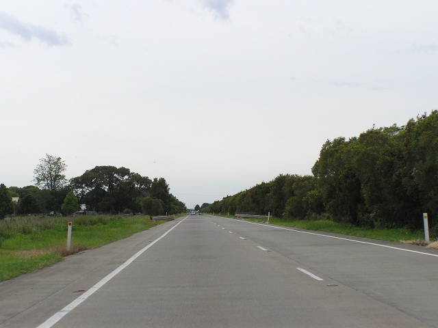
Looking north along the dual carriageway Cowper Deviation. Nov 2005.
This 3km section of the Pacific Highway is the Cowper Deviation, a dual carriageway bypass of the tiny village of Cowper which was opened to traffic in June 1993. Previously, the Pacific Highway had passed through Cowper alongside the Clarence River . This alignment brought limitations for widening of the highway as well as potential flooding problems so the highway was relocated around the southern side of town. Cowper received priority over other sections of the Pacific Highway thanks to two horrific bus crashes between Maclean and South Grafton during 1989.
As part of the Pacific Highway Upgrading Programme, planning commenced in November 2004 for the comprehensive upgrade to motorway standard of the highway between Wells Crossing and Mororo ( Iluka Road ). Unless the westernmost route option is selected as the preferred alignment, the Cowper Deviation will be bypassed many kilometres to the east. A decision on the preferred route is expected in December 2005.
 |
Northbound approaching the old Pacific Highway (Grafton & Clarence Streets) at Cowper. The northern end of the old highway no longer has access to/from the current alignment. Nov 2005. |
 |
Diagrammatic AD sign showing dual carriageways at the same intersection. Nov 2005. |
 |
Looking north at the northern end of the Cowper Deviation. Nov 2005. |
 |
Looking north into Cowper from the bridge over the Clarence River South Arm. Nov 2005. |
 |
Looking south through Cowper. Nov 2005. |