PACIFIC HIGHWAY
Section: Cowper to Maclean
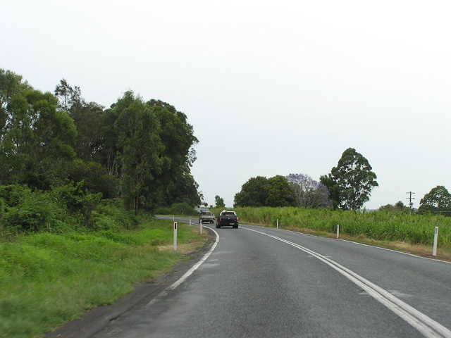
Looking north between Tyndale and Shark Creek. The river is on the left and extensive corn plantations are on the right. Nov 2005.
This 17km section of the Pacific Highway stretches from the northern end of the Cowper Deviation to the southern end of the Maclean Bypass. It is entirely single carriageway although there are a few overtaking lanes placed sporadically along the way. For the most part, the highway hugs the southern bank of the Clarence River closely, with corn fields on the eastern side.
During the period 1929-1939 the highway was constructed with cement concrete pavement within Ulmarra Shire (as far north as Tyndale). Between Tyndale and Maclean one of the very few bowstring arch bridges in New South Wales was constructed over Shark Creek in 1935. In 1956 Harwood Shire Council constructed a 0.5 mile long deviation on the northern approach of the bridge to improve alignment, taking the highway away from the river. Then, in 1986, the Department of Main Roads constructed a new bridge over Shark Creek and a 1km long deviation on the northern approach to provide a flood-free alignment and overtaking lanes.
Since that time the only major work has been a small realignment at Tyndale. The 900m realignment saw the highway moved several metres towards the river to bypass the small village of Tyndale , relieving properties that previously fronted the highway from oppressive traffic conditions. The state-funded work was commenced in February 1999 and completed in June 2000.
Planning commenced for a comprehensive upgrade of the Pacific Highway between Wells Crossing and Iluka Road in November 2004. The central route options rejoin the existing highway in the vicinity of Tyndale, however if an eastern option is selected then the highway will be bypassed as far north as Maclean. A decision on the preferred route is expected in December 2005.
Current route of Pacific Highway |
|
 |
Looking north near Cowper. You can see just how close the highway is to the river in this location. Nov 2005. |
 |
Looking north to the Coldstream River bridge, built in 1968. Note the heavy traffic in a section with very few overtaking lanes. Nov 2005. |
 |
Fingerboard signs at the junction with Upper Coldstream Rd. Nov 2005. |
 |
ID signs at the junction with Sheehys Lane, Tyndale. Note the weird use of "km" next to the distances on the sign that isnt facing the camera. Unfortunately I only noticed this going through the photos several weeks later otherwise I would have taken a better photo. Nov 2005. |
 |
Looking north between Tyndale and Shark Creek. Note the wire rope fencing, installed to |
 |
Looking north on the northern approach to Shark Creek bridge. Nov 2005. |
 |
Looking south to Shark Creek. The old bowstring arch bridge, built in 1935, can be seen on the right. Nov 2005. |
 |
Looking south between Shark Creek and Maclean. Note the narrow pavement and curved alignment. Nov 2005. |
|
Old Pacific Highway at Shark Creek |
|
 |
Looking south along the old alignment north of Shark Creek. This section was bypassed in 1986. Nov 2005. |
 |
This photo shows a split between the 1928-1956 and 1956-1986 alignments - the latter goes off to the left, while the original alignment heads straight towards that large tree in the background. Nov 2005. |
 |
Looking north along the 1956-1986 alignment towards Shark Creek. The current alignment can be seen in the background. Nov 2005. |
 |
View from the end of the pavement on the 1956-1986 alignment towards the bridges over Shark Creek. Nov 2005. |
The view looking north across the old bridge over Shark Creek. Source: David Farlow, 2000. |
|
 |
Looking north along the old southern approach to the old bridge. Nov 2005. |
Last updated 26 January 2009 © Ozroads 2004-2009. |