PACIFIC HIGHWAY
Section: Coopernook to Herons Creek
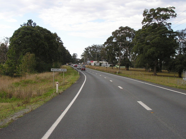
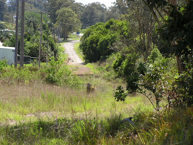
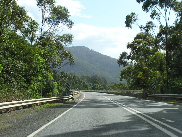
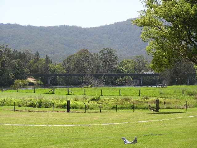
Looking north into the southern half of Moorland. Aug 2004.
This 29km section of the Pacific Highway stretches from the northern end of the future Coopernook Bypass to the southern end of the Herons Creek Bypass, passing through the towns of Moorland, Johns River and Kew . It has been part of the Pacific Highway since its gazettal in August 1928.
Only one bridge on this section of the highway remains from that era - a concrete arch bridge over Stoney Creek which was built in 1938 and widened, but not strengthened in 1979.
Several realignments of the highway have been undertaken over the years between Coopernook and Herons Creek. At Two Mile Creek a small deviation about 1km in length was constructed to the east of the original highway alignment (now named Two Mile Creek Rd ), providing a new, wider bridge on an improved alignment. This work was completed during 1978. Just north of Two Mile Creek, at Long Point Road , the construction of a railway overpass eliminated a level crossing on the western side of the current highway alignment in 1967. Both the old Smiths Creek bridge and level crossing are now on private property, however traces of the original pavement remain as service roads on the western side of the current highway.
Further north, at the Stewart River , the construction of a new bridge across the river in 1985 replaced a narrow bridge on a poor alignment, built by the Main Roads Board in 1929-32. Traces of the old bridge remain on the western side of the existing highway and the old highway has been renamed Bulleys Road . The old bridge has since been demolished.
At Rossglen, the construction of a new bridge over the Camden Haven River in 1940 eliminated a timber bridge which connected what is now Rossglen Rd and Sunnyvale Rd (original alignment of Pacific Highway ). I also believe a railway overpass was constructed as part of the 3.5km realignment to replace the old level crossing on what is now Rossglen Rd. Both bridges on this deviation have since been replaced - a new railway bridge opened in 1982 and a new bridge across the river opened in 1986. The piers of the 1940 structure are still visible on the eastern side of the present river bridge although they are set to be removed as part of the current upgrading programme. The approaches to the original bridge over the river at Rossglen are still well defined at the end of Rossglen Rd. The traces of the old alignment on the northern side of the river - Sunnyvale Rd , Bethesda Rd and Tathra Rd are nothing more than dirt track, having been bypassed in 1940.
Under the Pacific Highway Upgrading Programme, launched in September 1996, this section of the highway is under two different projects - Coopernook to Moorland and Moorland to Herons Creek.
The Coopernook to Moorland upgrade is currently in the planning stage, with an Environmental Impact Statement being prepared. The preferred route involves a widening the existing highway for 6.7km and constructing a 3.7km freeway-standard western bypass of the southern half of Moorland township. Concept designs are yet to be released for this project, despite a newspaper article in the Manning River Times1 claiming the RTA had said that construction was scheduled to commence in September 2005.
The Moorland to Herons Creek project consists of 22.2km of dual carriageway road, with some sections being realigned and others simply duplicated. As released by the Roads and Traffic Authority, the preferred option for the upgrade will:
- Duplicate the existing highway on the western side for 1.2km from Moorland to Johns River
- Bypass Johns River to the west, with access to the town facilitated by a staggered T-junction at Stewarts River Rd
- Cross the Stewarts River at the existing location, with a new bridge for northbound traffic to be constructed on the western side of the existing bridge, which would be retained for use by southbound traffic
- Duplicate the existing highway to the west, with new bridges for northbound traffic to be constructed alongside the existing bridges over the North Coast railway line and the Camden Haven River , which would be retained for use by southbound traffic
- Bypass Kew to the east, leaving the existing highway in the vicinity of Sunnyvale Rd and rejoining it north of Ocean Drive . Access to/from the relocated highway would be provided at the existing highway south of Kew (northbound offramp), Ocean Drive (southbound ramps) and at the existing highway north of Kew (northbound onramp)
- Duplicate the existing highway to the east between Kew and the northern side of Herons Creek township.
Planning for the project began in October 2000 and the preferred option had been developed by March 2002. An Environmental Impact Statement was subsequently prepared and was exhibited during July and August 2005. The RTA is now considering community representations to the EIS. No construction timeframe has yet been released.
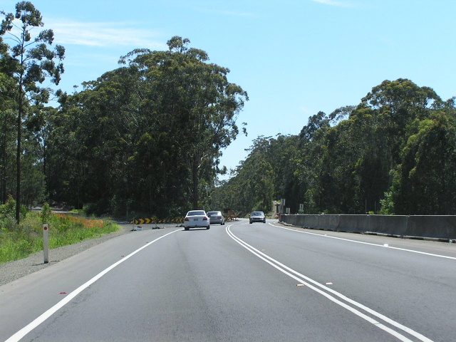 |
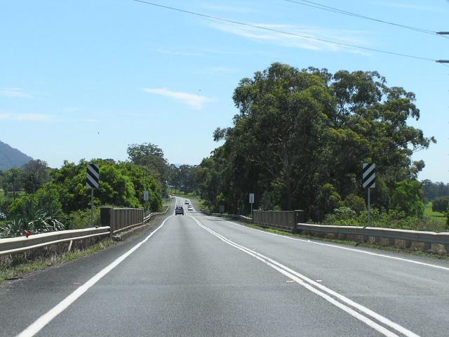
Looking north at the northern end of the Coopernook Bypass. You can see an old alignment of the highway (Two Mile Ck Rd) heading off to the left - it was bypassed in 1978. Nov 2005. |
 |
Looking south on Two Mile Creek Rd to the remains of the old timber bridge over Two Mile Creek. Looks like it is now on public property. Nov 2005. |
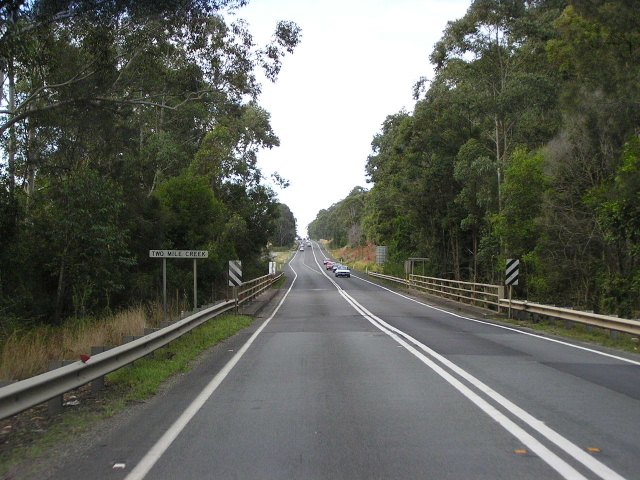 |
Looking north across Two Mile Creek on the current highway. Aug 2004. |
 |
Looking south towards Two Mile Creek. Aug 2004. |
 |
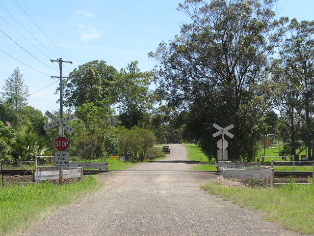
Looking north along what was once the Pacific Hwy, showing remains of the approaches to the former level crossing of the North Coast Railway. Nov 2005. |
 |
Looking north across the railway overpass - built in 1967 - adjacent to the former railway crossing depicted in the above photo. Aug 2004. |
 |
Looking south towards the railway overpass. You can see the old highway pavement branching off the right in the foreground. Aug 2004. |
 |
Looking south through Moorland at the Coralville Rd intersection. Nov 2005. |
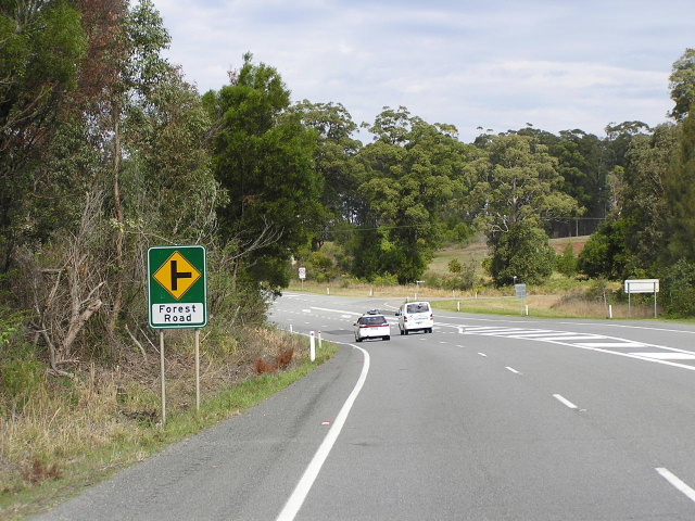 |
Looking south to Forest Rd. Note the incorrect lettering on the sign - should be all caps. Nov 2005. |
 |
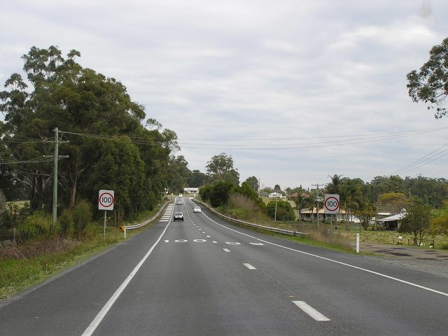
Looking south on a freshly resurfaced section - it did not have lines marked 3 days before i took this photo. On my previous trip in August 2004 this section had a badly patched, deteriorating pavement. Nov 2005. |
 |
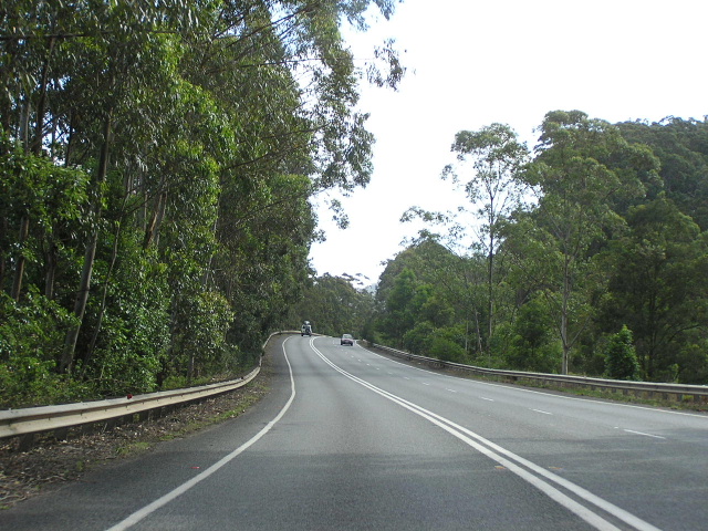
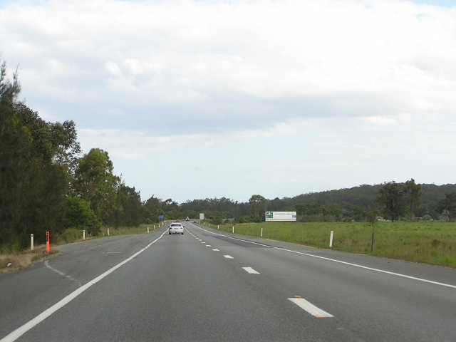
Looking north between Moorland and Johns River. Note the double unbroken lines are spaced a little further apart to keep opposing traffic flows that little bit further apart. Nov 2005. |
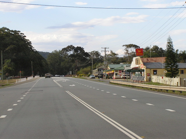 |
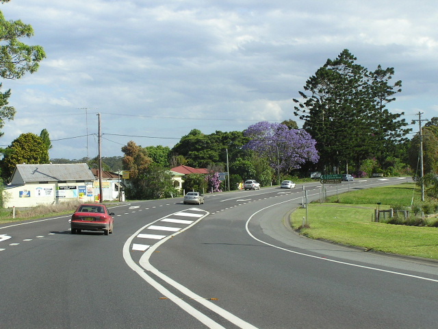
Looking north through the tiny village of Johns River. Nov 2005. |
 |
Looking south at the bridge over the Stewarts River - built in 1985. South Brother is the imposing figure in the background. Nov 2005. |
 |
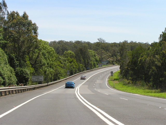
Narrow section where three lanes have been squeezed in, between Stewarts River and Rossglen. With most of this section of the road either on long embankments or hugging the cliffsides it will be interesting to see how it will be duplicated. Nov 2005. |
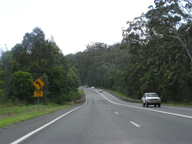 |
Looking south, south of Rossglen. Signposted geometry is an increasingly regular feature of the single carriageway sections of the highway. Nov 2005. |
 |
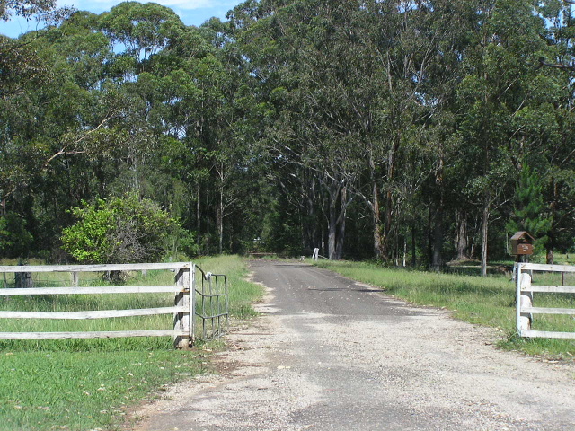
Looking north approaching Rossglen Rest Area. It is possible that rest area is built on part of the pavement from the original deviation around Rossglen, which was located immediately to the east of the existing bridges - built in the 1980s. Nov 2005. |
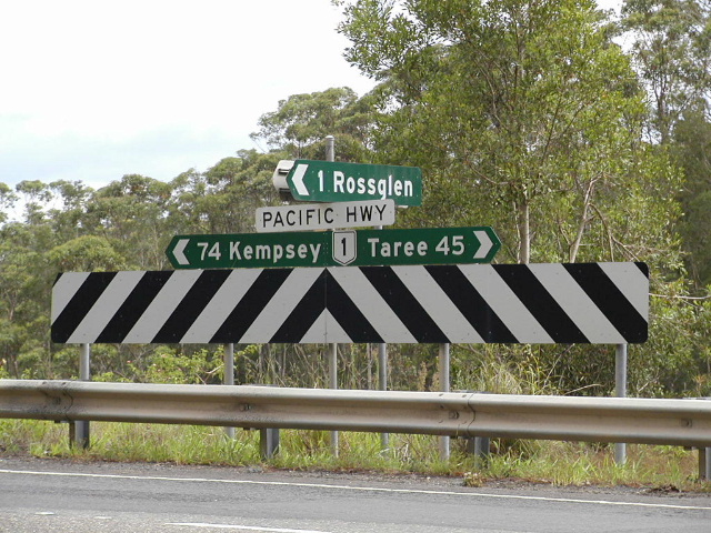 |
Fingerboard signage at the turnoff to Rossglen (Rossglen Rd). Rossglen Road was the route of the Pacific Hwy until 1940 when the old timber bridge over the Camden Haven River was replaced by a concrete structure on a ~4km deviation. Nov 2005. |
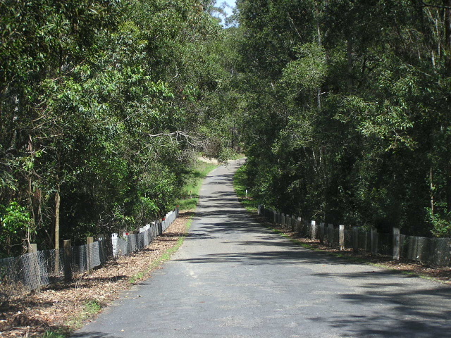 |
A view of Rossglen Rd, complete with 1930s wire mesh fencing. Nov 2005. |
 |
Looking north towards the former bridge over the Camden Haven River - in service from 1892 to 1940. The Pacific Highway used to cross the North Coast Railway at this level crossing. Nov 2005. |
 |
The southern approach to the original bridge over the Camden Haven River. The original route of the Pacific Hwy continues north of the river as Sunnyvale Rd, Bethesda Rd and Tathra Rd - right into Kew. Nov 2005. |
 |
The current highway bridge over the Camden Haven River as viewed from the approaches to the original bridge. You can just make out the piers of the 1940 bridge just to the east of the current bridge - these will be removed as part of the Moorland-Herons Ck Upgrade project. Nov 2005. |
 |
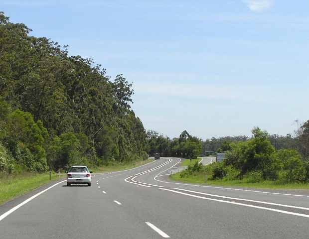
Looking south across the Camden Haven River floodplain towards the bridge. Nov 2005. |
 |
Looking north into the town of Kew, still on the 1940 deviation. Nov 2005. |
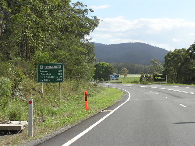 |
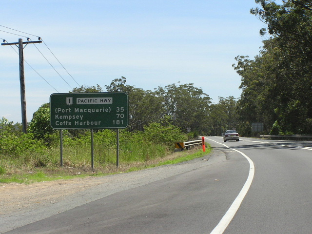
Distance sign heading south from Kew. Nov 2005. |
 |
Looking north towards Ocean Dr in Kew. Photo thanks to Vi Ong in November 2003. |
 |
A treasured find - one of the very few remaining black signs on or near the Pacific Highway north of Hexham. This particular one is westbound on Kendall Rd, approaching the highway and Ocean Dr in Kew. Aug 2004. |
 |
Oh my! Its another black sign! Calm down, this one has been replaced :-( but I was lucky enough to capture it on film in August 2004. |
 |
And here is its replacement, as photographed in November 2005. Need i point out that the font is incorrect, there is no border separating the two panels and the Pacific Hwy is NOT a National Highway! Quite why they didn't leave the old sign, which was completely correct, is beyond me. Nov 2005. |
 |
Distance sign leaving Kew northbound. One of the very few signs that hasnt been replaced by one showing either Brisbane or Sydney - depending on which way you are heading. Nov 2005. |
1. Available from: http://finance.groups.yahoo.com/group/aussiehwys/message/7882