PACIFIC HIGHWAY
Section: Coffs Harbour
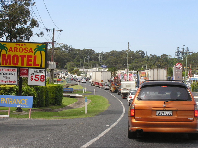
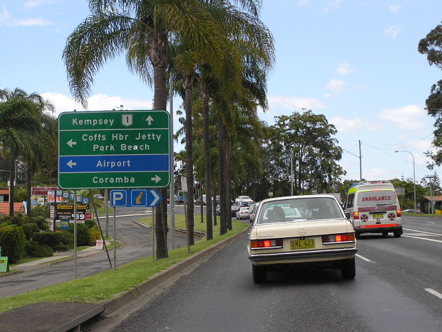
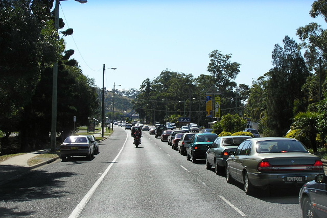
If travelling through Coffs Harbour expect a lot of this! Nov 2005.
This 10km section of the Pacific Highway stretches between Englands Rd and Korora Hill, bisecting the urban area of Coffs Harbour . Throughout the length of this section the highway is at least four lanes wide, and only a short section of undivided road exists north of Albany Street . Carrying nearly 40,000 vpd near High Street, it is the scene of chronic congestion only exacerbated in holiday times.
The route of the highway through Coffs Harbour has not changed since 1928. Despite having been gradually improved over the years, this section of the highway was still largely single carriageway until 1980, when duplication of the highway was commenced. Beginning in the centre of town and heading both north and south, construction of dual carriageways was completed in November 1987. Since then, the section between Arthur Street and Bray Street has been widening the highway to provide six through traffic lanes, including the replacement of the railway overpass at Park Beach Ave and the construction of a four-lane overpass to carry the highway across the intersection of Arthur St and Mastrocolas Rd. This work was completed August 2000 at a cost of $25 million and was fully funded by the State Government.
Further to these improvements, a longer-term solution for the traffic congestion in Coffs Harbour has been mooted. Planning for a western bypass of the Coffs Harbour urban area commenced in September 2001, with initially three different broad corridors considered. In response to community consultation an ‘inner’ bypass corridor was selected in March 2002 as the only option worth considering further and an additional option of further upgrading the existing highway through Coffs Harbour was included as a possibility. The feasibility of a far-western bypass passing near Coramba and rejoining the existing highway near Halfway Creek (or even South Grafton) was also investigated but found to be not worth pursuing further. The study committee also found that there was no economic justification for a major bypass for at least 20 years or more. Furthermore, the results of economic analysis indicated that the inner corridor is the only option likely to provide net benefits in the long planning horizon adopted for this investigation . By contrast, the relatively high costs and small traffic attraction of the central, outer and far-western corridors makes them unattractive economic proposals, even in the very long term.
As part of the investigations in the Southern Coffs Harbour section, indicative route options were developed in the Inner Bypass Corridor and a range of studies undertaken to determine the performance of the Inner Bypass and the Existing Highway Upgrade. In parallel with these activities, a review of a community generated proposal for a western bypass of Coffs Harbour , known as the Coastal Ridge Way (CRW), was undertaken. As originally defined, the CRW extends for a length of 38 km from Englands Road in the south to Arrawarra. The northern section is the same alignment as Option A, which has been investigated as one of five route options in the Sapphire to Woolgoolga study area.
The study found that: “In functional terms, the CRW could serve as an effective bypass of the main Coffs Harbour urban area for a substantial volume of through traffic. However, the likely road geometry may be a deterrent to heavy vehicles in relation to travel time and vehicle operating costs to the extent that the CRW route could be unattractive and the existing highway route could continue to be used by through heavy vehicles. The strategic estimate indicates a cost of approximately $860M, far in excess of any other NSW Pacific Highway upgrade project. When coupled with the estimated travel benefits that would flow from the new route, the road user economic analysis clearly shows that the CRW proposal would represent a very poor investment in road transport infrastructure for NSW.”1
Following the demise of the Coastal Ridge Way option, Coffs Harbour City Council requested that further options passing to the west of the coastal strip be investigated, centred on the Bucca Valley . None of the options west of the coastal plan registered a benefit-cost ratio of higher than 0.25 and were thus dropped from the agenda. The preferred route of an inner bypass skirting West Coffs Harbour and rejoining the existing highway at Korora Hill was released for public comment in November 2004. Since then there has been no public progress on the project and local Nationals MP Andrew Fraser has recently (November 2005) called for investigations for a western bypass to be recommenced, citing flawed traffic data which was compiled prior to the opening of the Yelgun-Chinderah Freeway and other major highway projects. There has been a huge increase in heavy vehicles using the highway since the opening of the several of the upgrade projects and this will cause major conflicts with local traffic, especially in the section between Korora and Woolgoolga which will be up to eight lanes wide. No response from the State Government has been forthcoming.
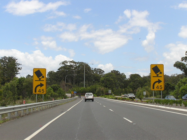 |
Heading south approaching the large-radius roundabout at Englands Rd. This marks the transition from Coffs Harbour urban area into the Lyons Rd to Englands Rd upgrade. Nov 2005. |
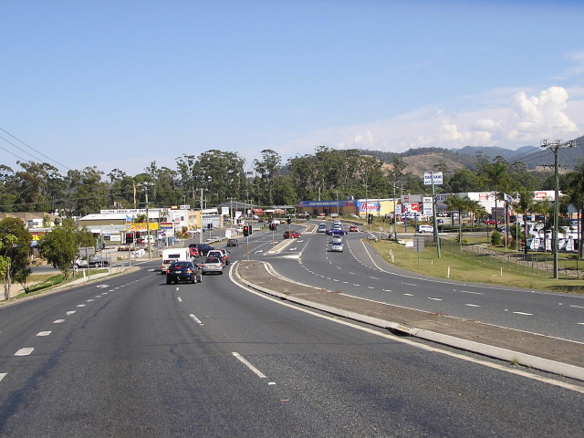 |
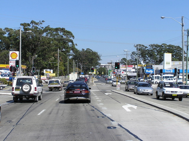
Looking south through the southern section of the Coffs Harbour urban area - at Cook Dr & North Boambee Rd. Aug 2004. |
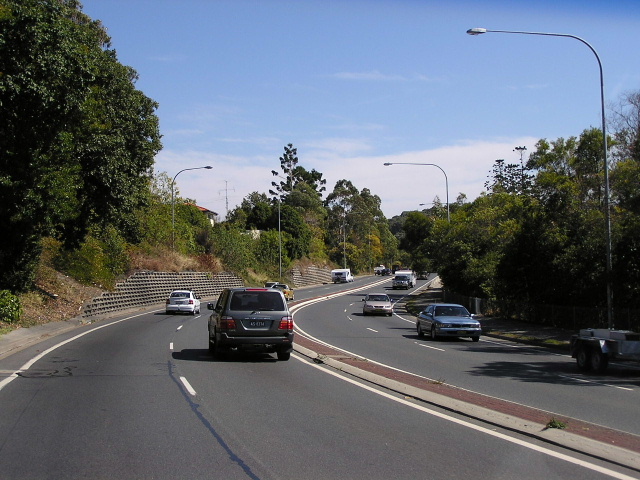 |
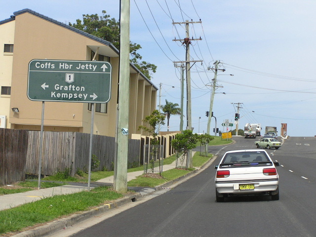
Looking north on the climb into the central section of Coffs Harbour urban area. This section of the Pacific Hwy is known locally as Bellingen Rd. Aug 2004. |
 |
Southbound AD sign approaching the junction of Albany St & Combine St. Note the letter "a" is on a sticker - the idiot (or perhaps prankster?) who made the sign wrote "Park Bench" rather than Park Beach. Nov 2005. |
 |
Very old, fading painted AD sign on Combine St approaching the Pacific Hwy. Nov 2005. |
Unusual ID sign pointing traffic southbound onto the highway at Little St. Nov 2005. |
|
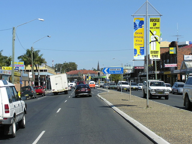 |
Looking south through Coffs Harbour town centre. I think Harbour Drive is the new name for High Street or Park Ave. Aug 2004. |
 |
Looking south at Marcia St. Aug 2004. |
 |
Traffic lined waiting to turn right towards Park Beach Plaza, looking north to Orlando Street. Aug 2004. |
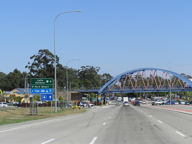 |
Looking south towards Park Beach Ave and the bowstring-arch railway bridge. Nov 2005. |
 |
Looking south at the Arthur Street overpass. Aug 2004. |
 |
Looking south approaching the Big Banana on the northern outskirts of Coffs Harbour. Nov 2005. |
1. Roads and Traffic Authority; Coffs Harbour Highway Planning - Coffs Harbour Section - Review of the Coastal Ridge Way Proposal; February 2004; p.viii