PACIFIC HIGHWAY
Section: Ballina to Ewingsdale
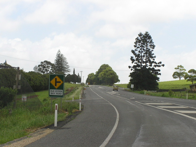
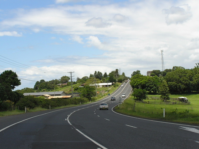
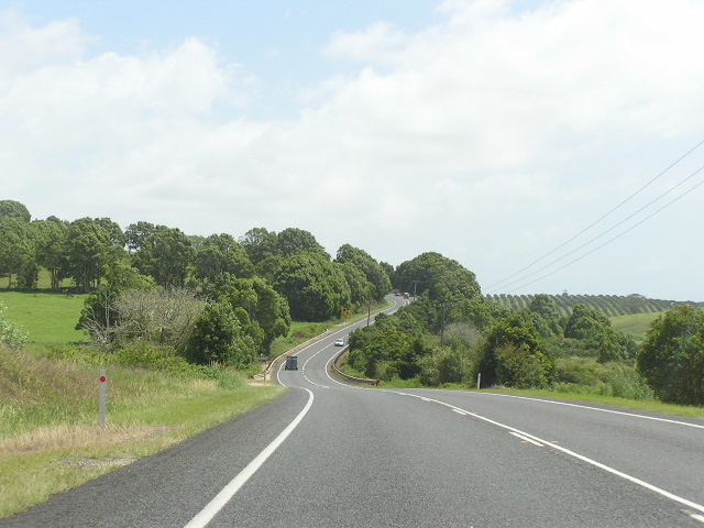
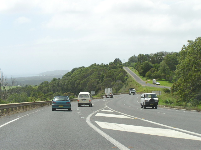
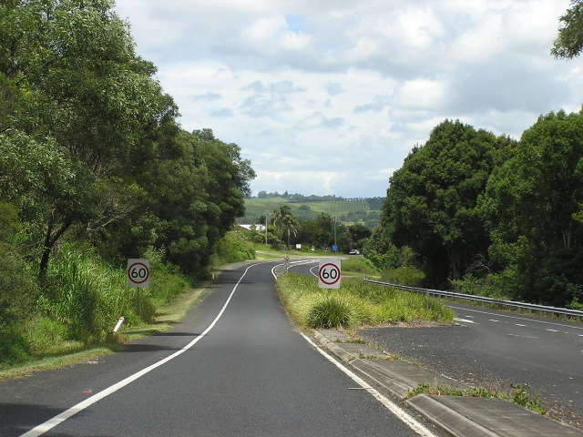
Looking north to Old Byron Bay Rd at Knockrow. Nov 2005.
This 34km section of the Pacific Highway stretches from the junction with North Creek Road on the outskirts of Ballina to just south of the Ewingsdale Interchange. Such a long section of the highway was warranted for this website due to the Ballina Bypass and Tintenbar-Ewingsdale projects being intertwined.
Between North Creek Road and Sandy Flat Rd (just north of Old Bangalow Rd near Tintenbar) the current alignment of the highway will be bypassed by the Ballina Bypass - the alignment of which has already been confirmed.
Between Old Bangalow Road and Tintenbar Road , the highway was constructed as a deviation in waterbound macadam during 1936. The previous alignment was via Old Bangalow Road and Tintenbar Rd - the former of which follows the shoreline of Emingrant Creek.
Between Sandy Flat Road and Ross Lane at Tintenbar, a new alignment had been selected, assessed and approved as part of the Ballina Bypass, which would take the highway around the eastern side of the hill over which the current alignment passes. This new route would connect to the existing highway at Ross Lane and would improve both horizontal and vertical alignment dramatically. However, as part of the Tintenbar-Ewingsdale planning project the Ballina Bypass was put on hold and its northernmost 3.5km put under review as route options were prepared for the upgrade of the highway between Tintenbar and Ewingsdale. A decision on the preferred alignment (which, looking at the route options development report, would probably follow the existing highway closely) is expected in December 2005.
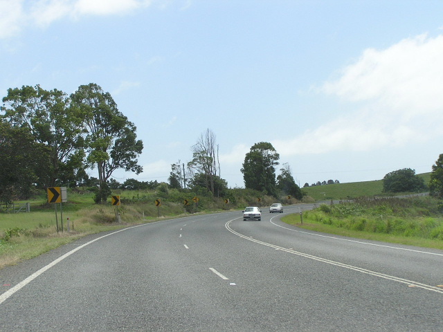
From Ross Lane, north through Knockrow to Newrybar, the alignment of the highway is very hilly and winding and has not changed greatly since gazettal in 1928. This section of the highway (12-16km north of Ballina) was reconstructed to provided a widened formation and eliminate sharp curves and crests during 1973-74. North of Knockrow, at Newrybar, a 1.3 mile long deviation was constructed by the Department of Main Roads in 1965-1968 to bypass the tiny village of Newrybar and eliminate a narrow, winding section of pavement. The original alignment of the highway remains as “ Old Pacific Hwy ” - a service road for Newrybar village on the western side of the current alignment.
North of Newrybar is Bangalow, where a 3km bypass was constructed around the eastern side of the township under the original five-year Pacific Highway upgrading programme. The original alignment of the highway followed what is now an unnamed local road on the south side of Byron Bay Road (a.k.a Bangalow Road ), thence via Byron St and Granuaille Street to the northern end of the Bangalow Bypass.
In December 1994, the first stage of the bypass was opened to traffic. This was a single carriageway with overtaking lanes for both northbound and southbound traffic. Bridges were constructed over the Byron Bay Road , Byron Creek and the North Coast Railway Line. A bridge was also constructed at the northern end of the bypass, taking southbound highway traffic destined for Bangalow and Lismore over the new highway. All major earthworks for the second carriageway were undertaken during the first stage of the Bangalow Bypass, to ensure minimal disruption to local residents during construction of Stage 2.
With an injection of federal funding into the Pacific Highway from September 1996 onwards, duplication of the Bangalow Bypass was brought forward and commenced in late 1996, only a few months after a massive $2.2 billion funding programme was announced. The construction of the second carriageway and duplication bridges over Byron Bay Rd and Byron Creek/railway line was completed ahead of schedule and $1 million under budget - opening to traffic on 10 December 1997 .
In what would seem a ridiculous waste of money, the Bangalow Bypass may be bypassed by the Pacific Highway when the highway is duplicated between Tintenbar and Ewingsdale. None of the short-listed upgrade options utilize the existing highway at Bangalow - instead relocating the highway to the east, to provide an easier crossing of St Helena Hill (via a tunnel). A decision on the preferred alignment between Tintenbar and Ewingsdale is expected in December 2005.
North of Bangalow, to Ewingsdale, is the notorious section of the highway known as St Helena Hill. Originally the Pacific Highway did not cross St Helena Hill, instead following what is now Main Road No. 65 ( Bangalow Road , Coast Rd & Ewingsdale Rd) through Byron Bay . This circuitous route was bypassed on 29 May 1931 when State Highway No. 10 was named Pacific Highway and its alignment changed to take the direct route between Bangalow and Ewingsdale - via St Helena Hill. Since that time, the hill has become a notorious black spot with many motorists either not sticking to their lane and causing a head-on collision or just plain driving to fast and smashing into guard rails! As part of the ten-year Pacific Highway upgrading programme, launched in September 1996, planning commenced for the upgrading of the highway between Bangalow and Ewingsdale to four lanes. An Environmental Impact Statement was exhibited in 1999, which involved the upgrading of the existing highway to four-lanes, with grade-separated interchanges at Possum Creek Rd and Coolamon Scenic Drive and left-in-left-out access for St Helena Road . Recommendations from the Northern Pacific Highway Noise Taskforce (in 2003!! Why the delay?) caused the project to be modified. It was then include in the Tintenbar to Ewingsdale planning project which was commenced in November 2004. As part of this project, all route options utilize a tunnel underneath St Helena Hill so there is no longer a need to upgrade the existing highway. A decision on the preferred alignment for the Tintenbar to Ewingsdale project is anticipated in December 2005.
As interim measures, wire rope fencing has been installed along the northern section and the entire length has been resealed to try and improve vehicle traction on the winding pavement. Furthermore, jersey barriers have replaced guard rails on the western side of the highway to prevent stray vehicles from flying off the steep cliffs. Sadly, motorists are still driving too fast and several recent accidents involving northbound vehicles have reduced the speed limit to 60km/h northbound, whilst southbound remains 80km/h.
|
Current route of Pacific Highway |
|
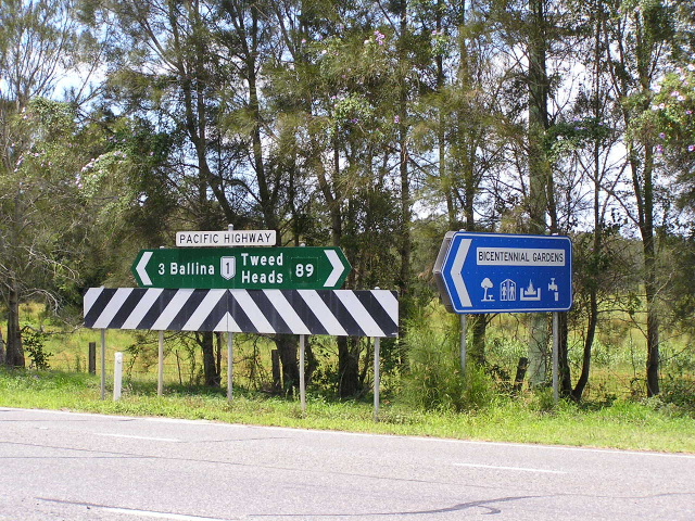 |
Fingerboard and ID signs at the entrance to the Bicentennial Gardens, just north of Ballina. Jan 2005. |
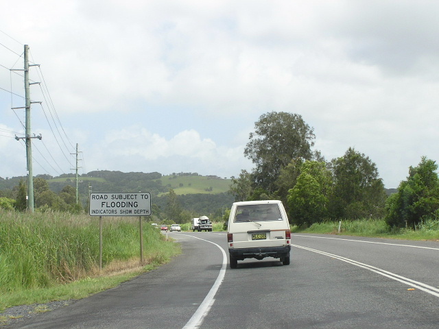 |
Looking north to a flood-prone section near Cumbalum. Nov 2005. |
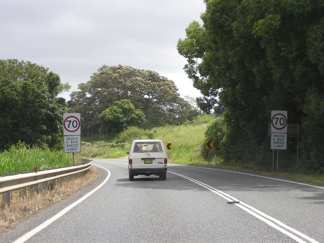 |
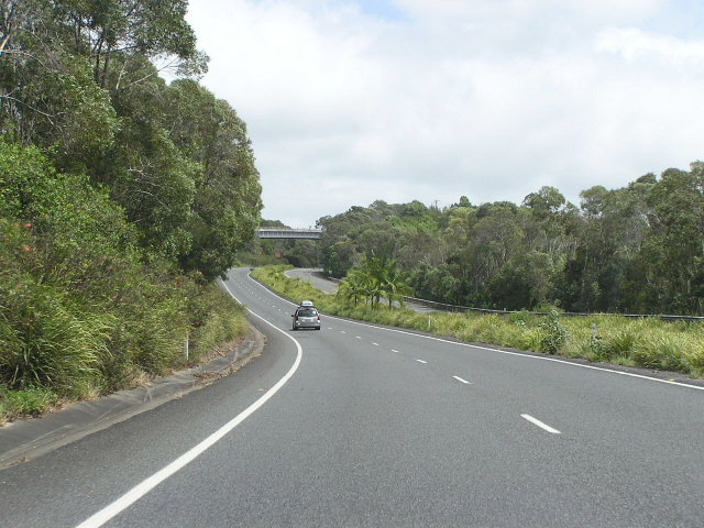
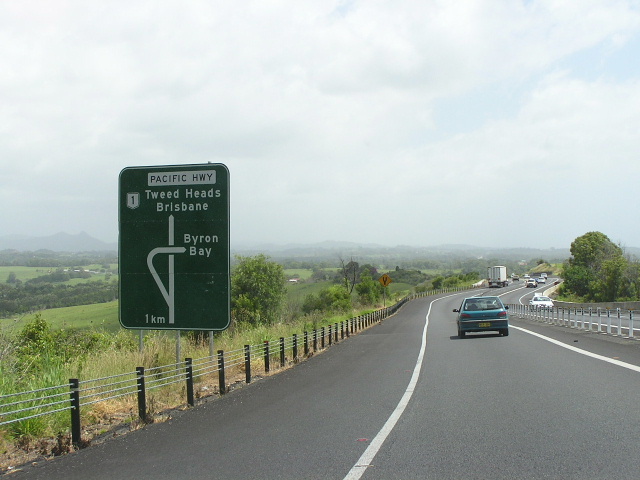
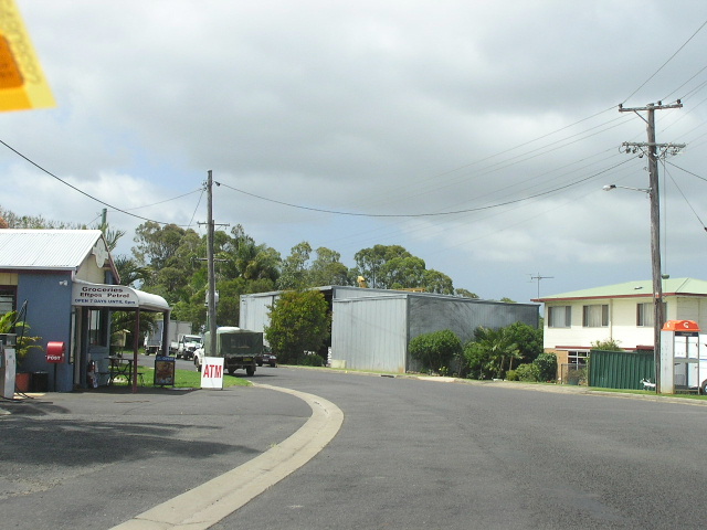
Looking north towards Tintenbar, where the highway gets particularly widning through some difficult terrain. Note the 70km/h limit for trucks and buses (general traffic limit 90km/h iirc) yet I had a truck doing 100km/h+ tailgating me along this section. Nov 2005. |
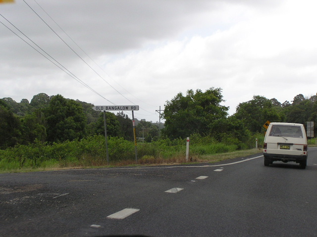 |
Fingerboard sign for Old Bangalow Rd, which I believe was the original route of the highway from 1928-1936. Nov 2005. |
 |
Looking north at Tintenbar Rd. Note the old pavement on the northwestern corner of the intersection, indicating that the Pacific Hwy once followed Tintenbar Rd then Old Bangalow Rd. Nov 2005. |
 |
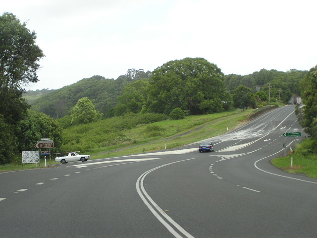
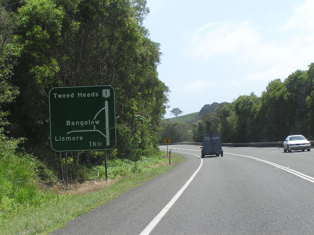
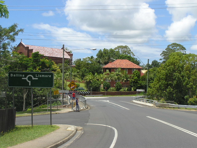
Northbound AD sign for Ross Lane at Tintenbar. Nov 2005. |
 |
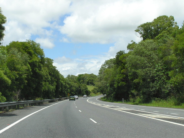
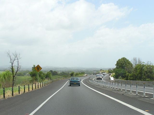
Looking north at Knockrow. Nov 2005. |
 |
Looking south to Knockrow Hill. Nov 2005. |
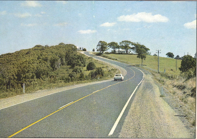 |
Department of Main Roads photo showing newly-reconstructed section of the highway at Knockrow in December 1974. |
 |
Northbound AD sign for Old Pacific Hwy at Newrybar. Nov 2005. |
 |
Looking north along the deviation at Newrybar, completed in 1968. Nov 2005. |
 |
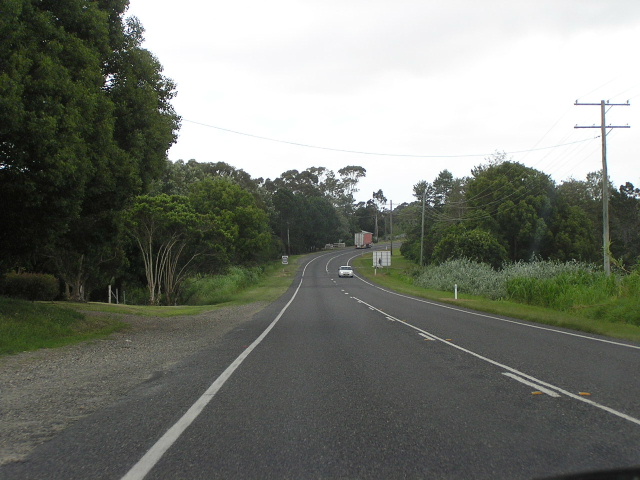
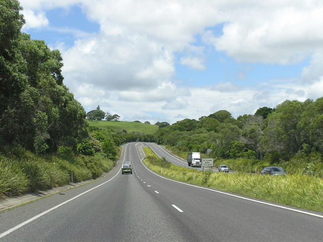
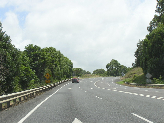
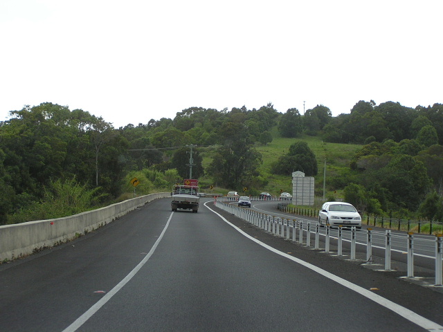
Looking north between Newrybar and Bangalow. Nov 2005. |
 |
Looking south at the southern end of the Bangalow Bypass. Nov 2005. |
 |
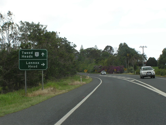
First northbound AD sign for the Byron Bay Rd interchange on the Bangalow Bypass. Nov 2005. |
 |
Looking south along the Bangalow Bypass, south of Byron Bay Rd. Nov 2005. |
 |
Looking north along the Bangalow Bypass between Byron Bay Rd and Granuaille St (Old Pacific Hwy north). Nov 2005. |
 |
The southbound offramp at the northern interchange of the Bangalow Bypass. Nov 2005. |
 |
Looking north from the northern end of the Bangalow Bypass. Nov 2005. |
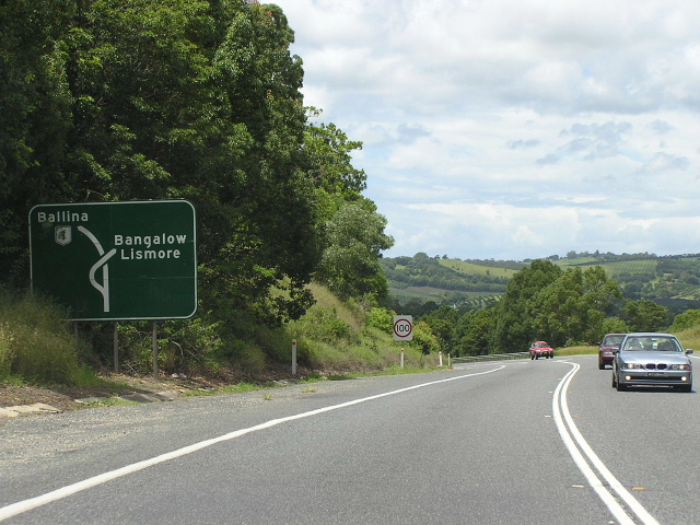 |
Southbound AD sign approaching the north end of the Bangalow Bypass. Note the extremely difficult terrain. Jan 2005. |
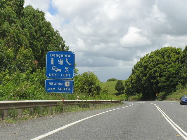 |
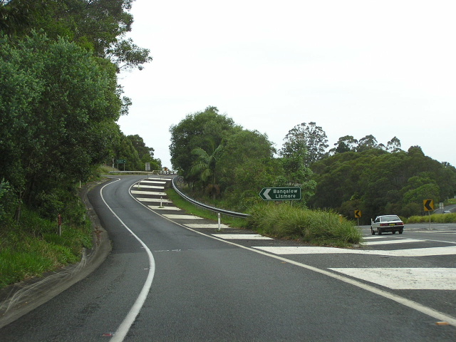
Typical service sign southbound approaching the Bangalow Bypass but with an unusal sub-sign - reminding motorists that they can rejoin the Pacific Hwy 2km south. Jan 2005. |
 |
Looking north towards St Helena Hill. Nov 2005. |
 |
Looking south to Possum Creek Rd between Bangalow and Ewingsdale. Nov 2005. |
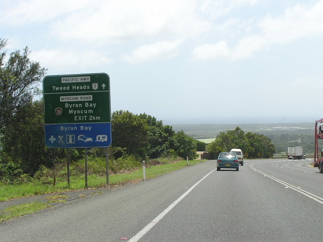 |
Unusually designed first northbound AD sign for the Ewingsdale Interchange. It is also unusual that Myocum Rd is preferred as the road name rather than Ewingsdale Rd, which leads to Byron Bay. Nov 2005. |
 |
Looking north at St Helena Hill. Nov 2005. |
 |
Second mention of the Ewingsdale Interchange (this sign doesnt accurately represent the interchange, however) as the highway begins to descend St Helena Hill. Note the wire rope fencing that has been installed in recent years to combat head-on collisions. Nov 2005. |
 |
Looking north along the descent from St Helena Hill. The divided road ahead sign refers to the dual carriageways which commence on the approaches to the Ewingsdale Interchange. Nov 2005. |
 |
Looking south from the Ewingsdale Interchange as the highway begins to wind its way up St Helena Hill. Nov 2005. |
|
Old Pacific Hwy, Newrybar |
|
Council blade sign for Old Pacific Hwy at Newrybar. Nov 2005. |
|
 |
Looking south through Newrybar. Nov 2005. |
|
Old Pacific Hwy, Bangalow (Byron St & Granuaille St) |
|
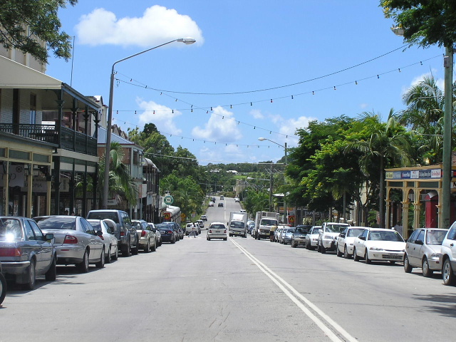 |
Looking southeast along Byron St. Nov 2005. |
 |
Looking south along Granuialle St, approaching Byron Street and Bangalow Rd. Nov 2005. |
 |
Looking south along Granuialle St into Bangalow. Nov 2005. |
 |
Looking south near the northern end of the Bangalow Bypass. Nov 2005. |