State Route 94 |

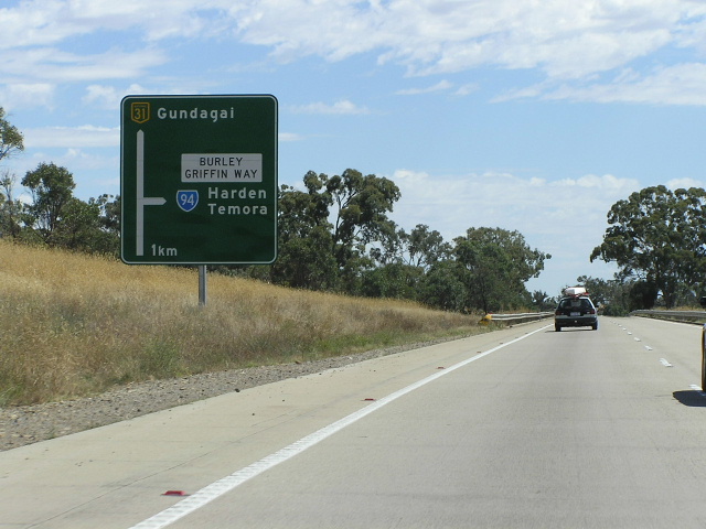
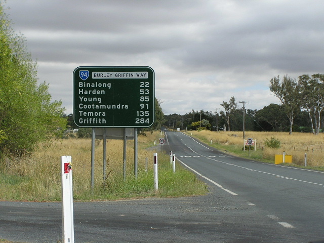
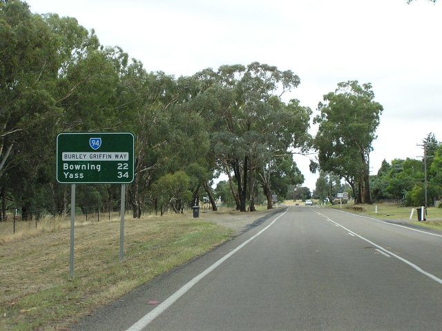
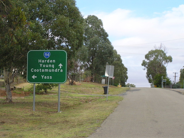
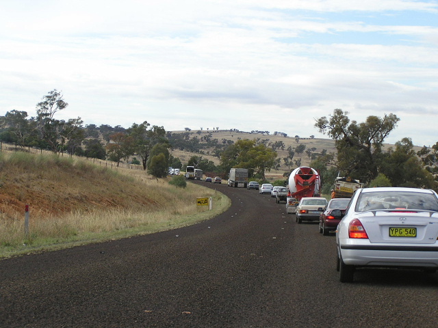
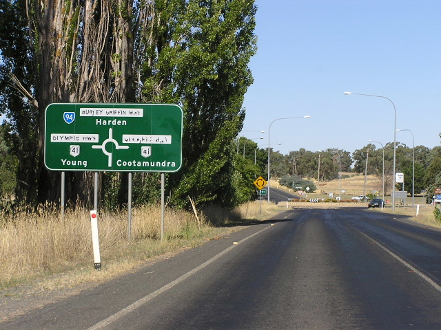
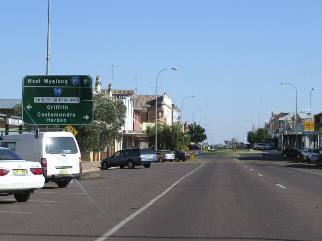
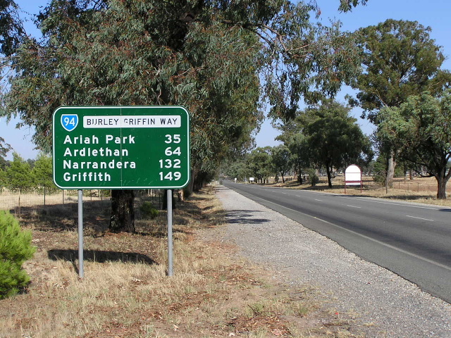
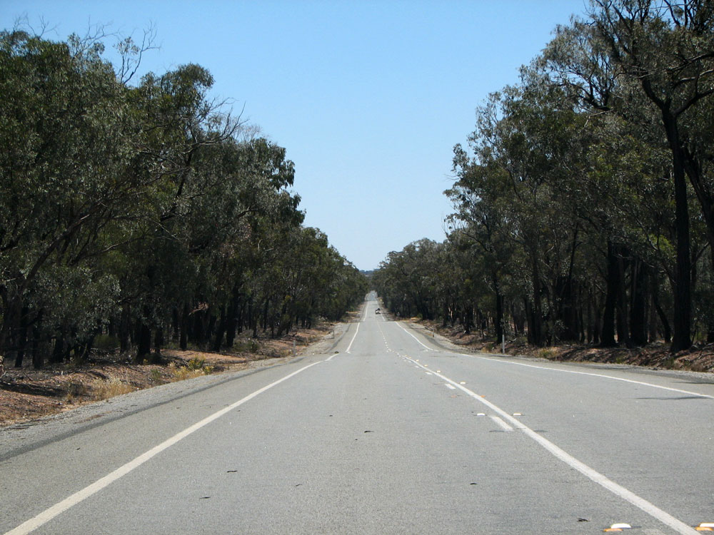
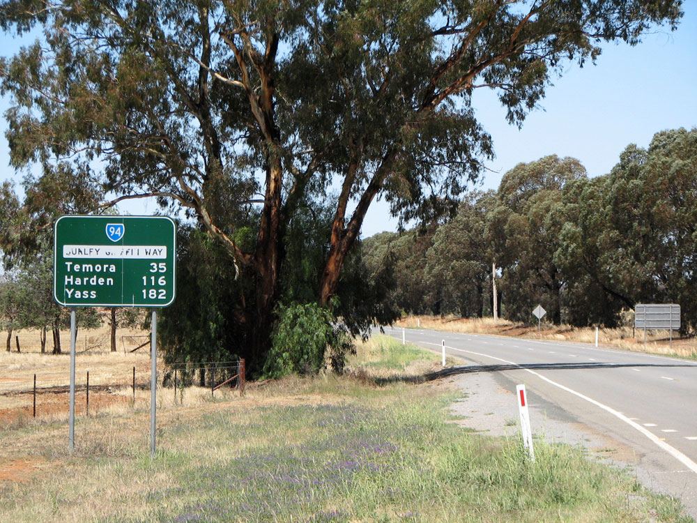
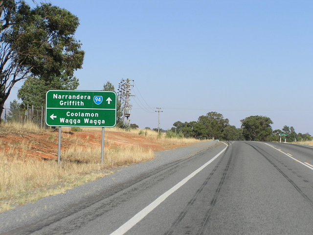
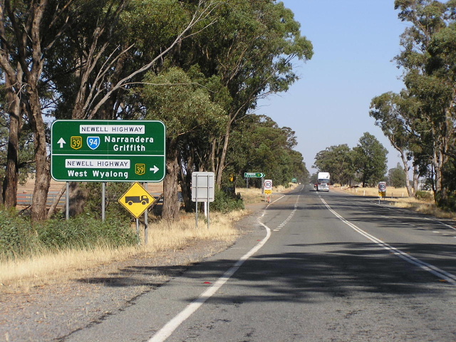
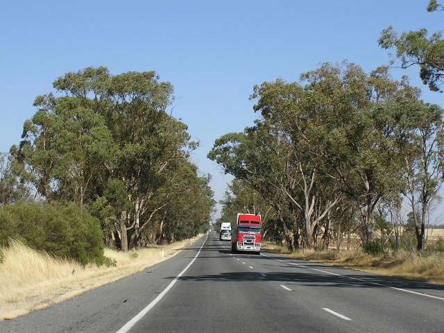
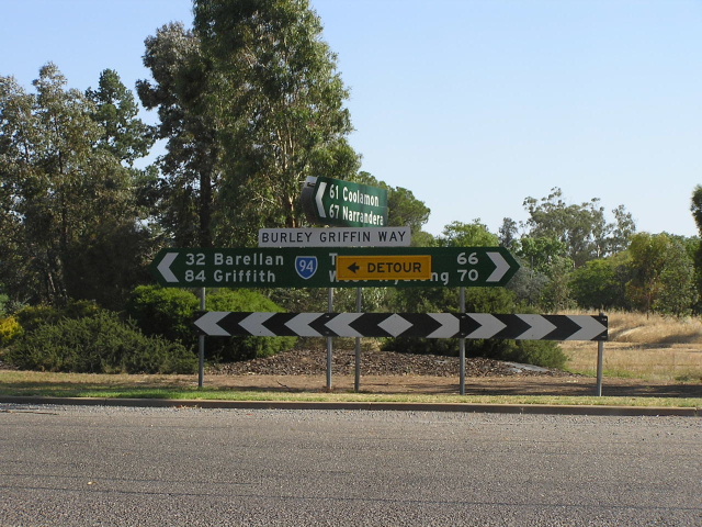
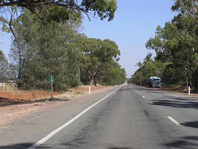
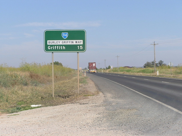
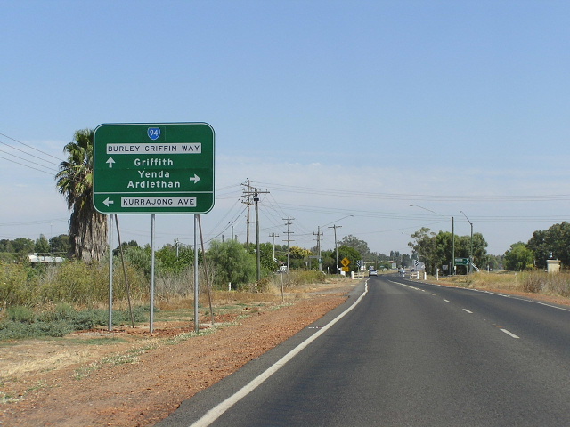
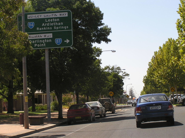
The first distance sign eastbound on Burley Griffin Way, heading east from Irrigation Way at Yoogali. Feb 2006.
In 2013, RMS will be implementing a new alpha-numeric route numbering system. For more information, visit the RMS Website. |
|
Forthcoming alpha-numeric route number: |
|
Length: 278km
Eastern Terminus: Hume Hwy, Bowning
Western Terminus: Kidman Way (Banna Ave & Jondaryan Ave), Griffith
Route taken: From the Hume Highway at Bowning, via Harden, Temora, Ardlethan, Barellan, Yenda and Yoogali to the Kidman Way at Griffith.
The portion of the route between the Hume Highway at Bowning and the Newell Highway, 4km south of Mirrool; and between the Newell Hwy at Ardlethan and Kidman Way at Griffith is known as "Burley Griffin Way".
Focal Points: Yass, Harden, Temora, Ardlethan, Griffith
RTA Internal Classification: Main Road No. 84 (Hume Hwy-Newell Hwy & Newell Hwy-Yoogali), State Highway No. 17 (Newell Hwy), Main Road No. 80 (Yoogali-Griffith)
State Route 94 is an east-west route connecting the Hume Highway with Olympic Highway, Temora, the Newell Highway and Griffith. It also serves as the major route from Sydney to the Griffith area, however B-double trucks are not permitted to use the route. The length of State Route 94, except for the duplex with National Highway 39 (Newell Hwy) is known as "Burley Griffin Way." It was named such as it connects the two cities in southern New South Wales (Canberra and Griffith), designed by the legendary American architect Walter Burley Griffin.
Despite its stature as the major route from Sydney into the Murrumbidgee Irrigation Area, Burley Griffin Way was, until recently, in very poor condition. The worst stretch of it, at Illalong Creek (17km west of Bowning) was eliminated by a ~$9 million deviation, completed in 1999. A number of tight bends and deteriorating pavement have been addressed in recent years, and I was pleasantly surprised when I drove Burley Griffin Way for the first time in February 2006. Remaining black spots, however, are numerous railway level crossings on tight angled bends and the intersection with Irrigation Way at Yoogali, 2km east of Griffith, has been the site of a number of serious accidents. Extensive lobbying has resulted in the announcement that the Roads and Traffic Authority will upgrade in the intersection in the near future.
The poor quality of the road seems to stem from the current State Government's reluctance to adequatley fund rural roads in New South Wales. As was the case with the Lachlan Valley Way south of Cowra, routine maintenace - which alleviates the need for major reconstruction - has been postponed so that funds could be utilised elsewhere. Even the Illalong Creek deviation, which eliminated the "worst stretch of road that I have ever travelled on in New South Wales or Australia" - as spoken by the Member of Murrumbidgee,1 was delayed and only completed in 1999 due to funds being diverted from maintenance and reconstruction on the Lachlan Valley Way. The major push behind an upgrade of Burley Griffin Way is the high volume of freight movements between the Griffith area and the ports at Sydney, Newcastle and Wollongong.
State Route 94 was introduced in 1974, along with most of the New South Wales state route system. At this time, the route was classified as Trunk Road No. 84 (east of Temora) and Main Road No. 387 (west of Temora), as well as the 19km duplex with State Highway No. 17 and the last 3km into Griffith being Trunk Road No. 80. Since then, the Trunk Road classification has been abolished by the enactment of the State Roads Act 1986 and absorbed into the ordinary Main Road classification. Consolidation of the Burley Grffin Way into one continuous classification was effected on 24 August 1996 when the former routes of Main Road No. 387 was incorporated into the Main Road No. 84 classification. However, the last three kilomtres of Burley Griffin Way into Griffith is still part of Main Roads No. 80, which stretches from Narrandera to Mossgiel. State Route 94 is continuous along the duplex with the Newell Highway whilst the Main Road No. 84 stops on either side of the highway.
The easternmost 2km of State Route 94, through Bowning, was part of the Hume Highway (State Highway No. 2) until August 1973 when a four-lane deviation around Bowning was opened to traffic. This section still remains in its 1970s condition and there have been calls for it either to be upgraded or for the Burley Griffin Way to be relocated around the township, most likely joining the Hume Highway on the western side of Bowning.
|
Photos of State Route 94 |
|
 |
Westbound on Hume Highway, this is the first mention of Burley Grffin Way. Feb 2006. |
 |
Supplementary AD sign indicating that these important (and not so important) towns are all accessed via the Burley Griffin Way turnoff. Feb 2006. |
 |
AD sign pointing to the Burley Griffin Way turnoff at Bowning. The first 2km or so of the Burley Griffin Way is the original alignment of the Hume Highway, and you can see how the current, dual carriageway alignment of the Hume curves around the town of Bowning into the distance. Feb 2006. |
 |
Extremely rare END SR94 sign at the junction of Hume Hwy and Burley Griffin Way, Bowning. Jan 2005. |
 |
Looking north along old Hume Highway (Bogolong Street) approaching the junction with Burley Griffin Way in Bowning. Note the old, narrow bridge over Bowning Creek that used to carry Hume Hwy traffic but now services Burley Griffin Way. Jan 2005. |
 |
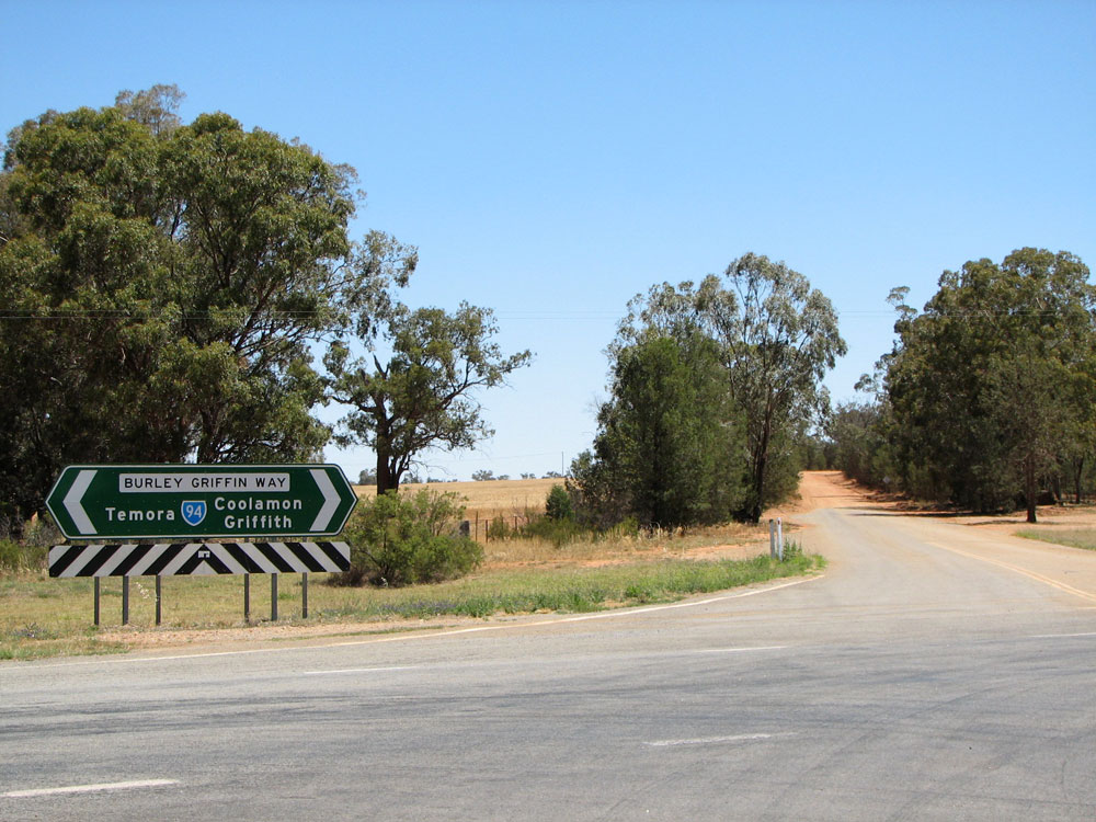
First westbound distance sign on Burley Griffin Way, heading west from Bowning. Feb 2006. |
 |
Looking east between Bowning and Illalong Creek, showing old section of pavement. Feb 2006. |
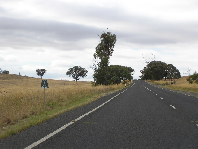 |
Old black "Y25" kilometre plate, heading east near Illalong Creek. Feb 2006. |
 |
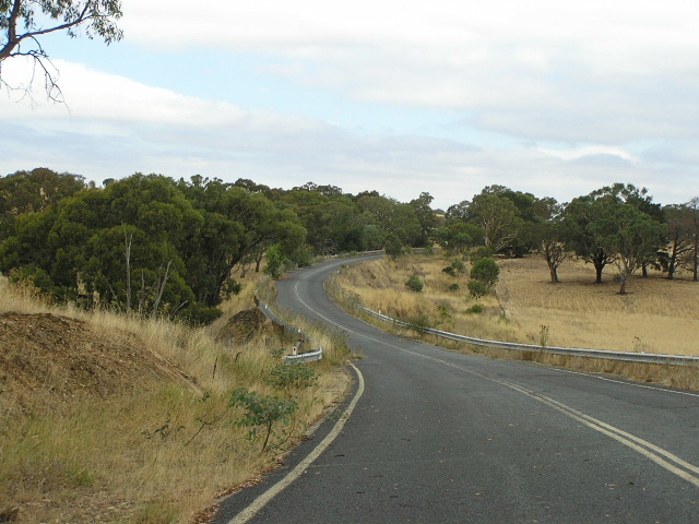
Looking east along the Illalong Creek Deviation, opened in 1999. Feb 2006. |
 |
Section of the old Burley Griffin Way at Illalong Creek, looking east. Feb 2006. |
 |
Section of the old Burley Griffin Way at Illalong Creek, looking west. Feb 2006. |
 |
Looking east across the new Banjo Paterson Bridge over Illalong Creek on the Illalong Creek Deviation. Feb 2006. |
 |
Distance sign heading east from Binalong. Feb 2006. |
 |
Looking west along Burley Griffin Way through Binalong. This alignment (Stephens Street) skirts the southern side of the town, replacing an earlier route via Fitzroy and Queen Streets. Feb 2006. |
 |
Looking east along Fitzroy Street (former alignment of Burley Griffin Way) showing a narrow bridge. Feb 2006. |
 |
Rare AD sign without "Burley Griffin Way" name plate, southbound on Queen Street in Binalong. Feb 2006. |
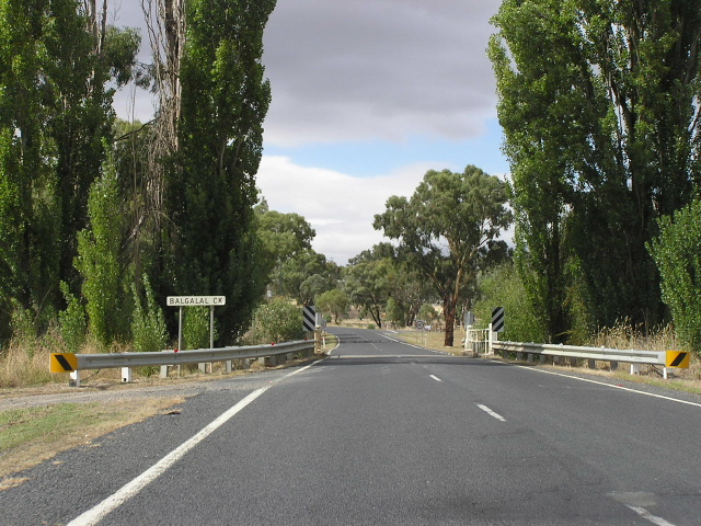 |
Looking east across Balgalal Creek on the western outskirts of Binalong. Feb 2006. |
 |
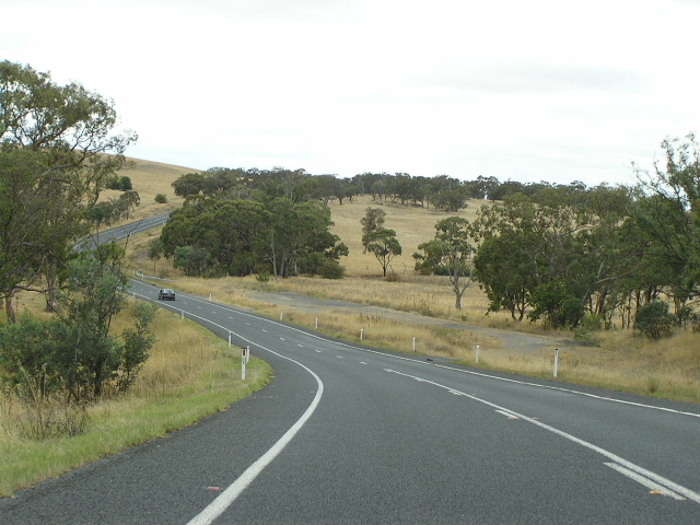
Looking east between Binalong and Galong, showing recently reconstructed and widened section. Feb 2006. |
 |
Typical fingerboard sign at Galong Rd. Feb 2006. |
 |
Resurfacing underway and the associated traffic jam, looking east at Cumbamurra. Feb 2006. |
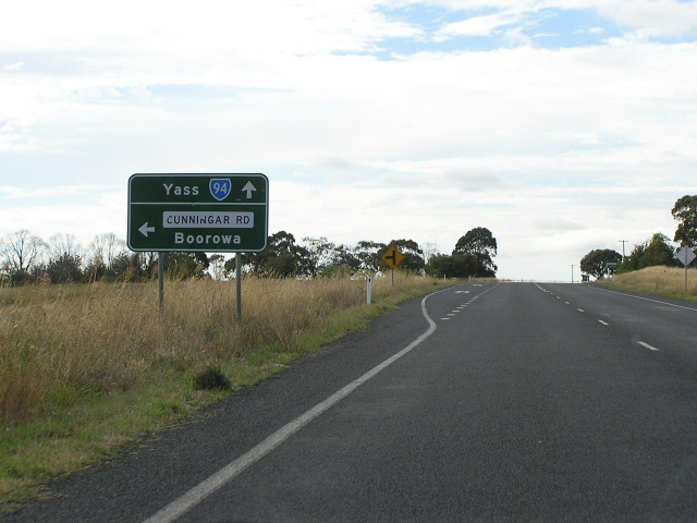 |
Eastbound AD sign for Cunningar Rd at Cunningar. Feb 2006. |
 |
Looking east through Murrumburrah to Harden (across the creek). Feb 2006. |
 |
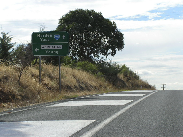
Distance sign heading east into Murrumburrah from Wombat Road. Feb 2006. |
 |
Eastbound AD sign for Wombat Rd. Feb 2006. |
 |
Distance sign heading west from Wombat Rd. Feb 2006. |
 |
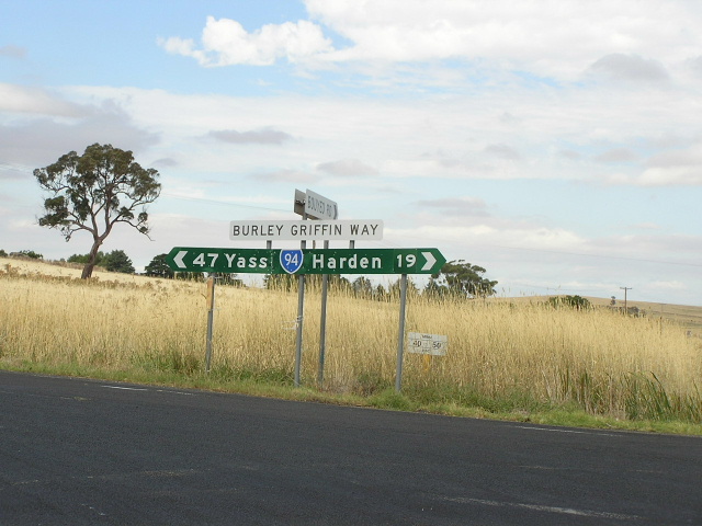
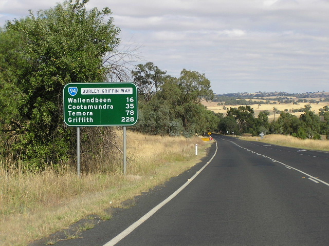
Distance sign heading east from Wallenbeen. Feb 2006. |
 |
Olympic Highway northbound approaching Burley Griffin Way at Wallendbeen. Feb 2006. |
 |
Burley Griffin Way eastbound approaching Olympic Hwy at Wallendbeen. Feb 2006. |
 |
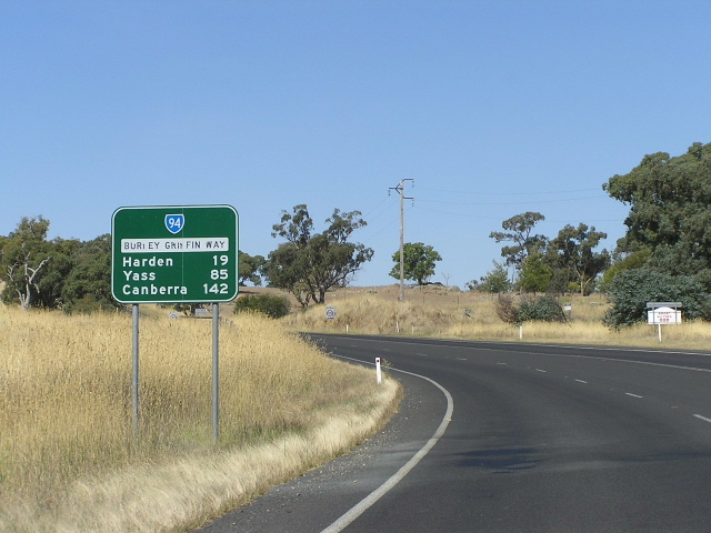
Distance sign heading west from Wallendbeen. Feb 2006. |
 |
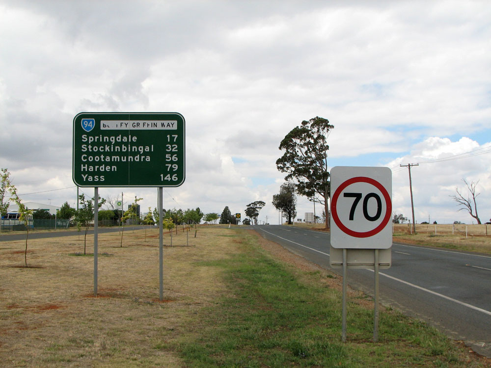
Distance sign heading east from Stockinbingal. Feb 2006. |
 |
Sequence of three narrow bridges on the westbound entrance to Stockinbingal. Feb 2006. |
 |
Railway level crossing on right-angle bends at Stockinbingal. Feb 2006. |
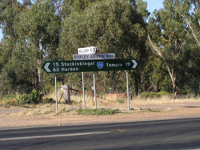 |
Fingerboard signage at Wallundry Rd, Springdale. Feb 2006. |
 |
Unusual marker indicating 1km or a 5km speedometer check, between Springdale and Temora. Feb 2006. |
 |
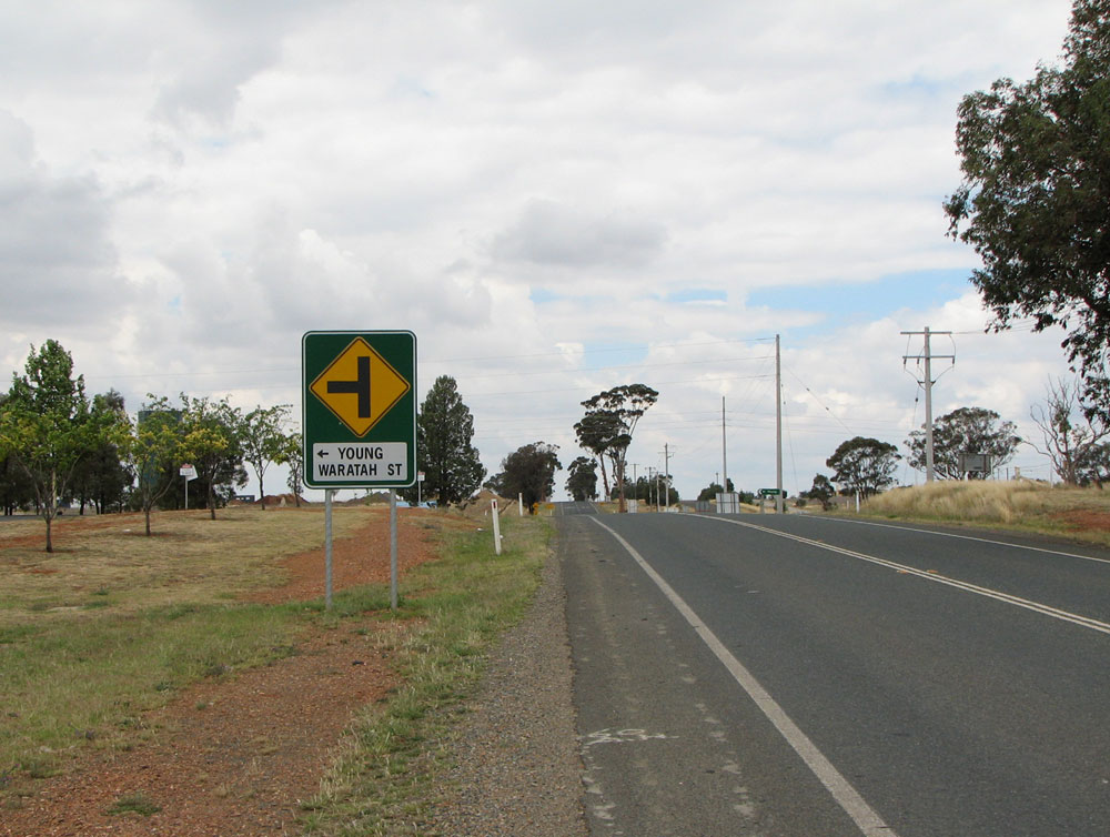
Dodgy fingerboard signage without a SR94 shield at the Waratah St junction, on the eastern outskirts of Temora. Photo taken: November 2008. |
 |
Terrible combined AD and warning sign eastbound on Burley Griffin Way approaching Waratah Street. Following the upgrading of Waratah Street, Main Road No. 241 was deviated to meet Burley Griffin Way, allowing through traffic to/from Young to bypass Loftus Street. This dodgy bit of signage is typical of the pathetic re-signing that took place. Photo taken: November 2008. |
 |
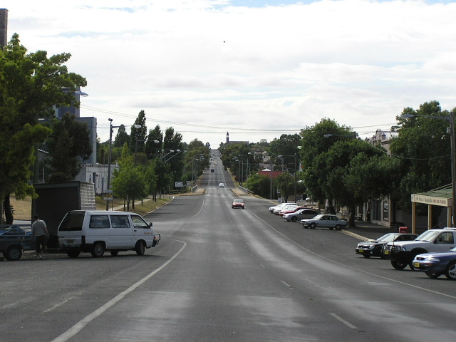
Burley Griffin Way looking west into Temora from Coolabah Street. Photo taken: November 2008. |
 |
RD sign eastbound on Burley Griffin Way on the eastern outskirts of Temora. Note the peeling name patch - typical of signs along this route. Photo taken: November 2008. |
 |
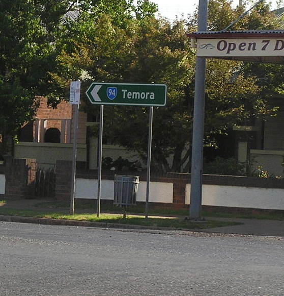
AD sign southbound on Goldfields Way (SR85) approaching the junction with Burley Griffin Way at Temora. Photo taken: November 2008. |
 |
Northbound on State Route 85 (Goldfields Way/Hoskins St) approaching Burley Griffin Way in Temora. Feb 2006. |
 |
Erroneous SR94 shield on SR85 at the Cootamundra Rd junction in Temora. Feb 2006. |
 |
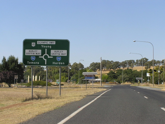
ID sign assembly at the junction of Burley Griffin Way & Goldfields Way, Temora. This is the best of a bad bunch of signs which are updated after the Waratah Street deviation of M.R. No. 241. Photo taken: November 2008. |
 |
Eastbound AD sign on Burley Griffin Way approaching junction with SR85 (Goldfields Way/Hoskins St) in Temora. Note the blank name patch - rather unusual! Also note the dodgy change to the sign to indicate that Young is now reached straight ahead. Photo taken: November 2008. |
 |
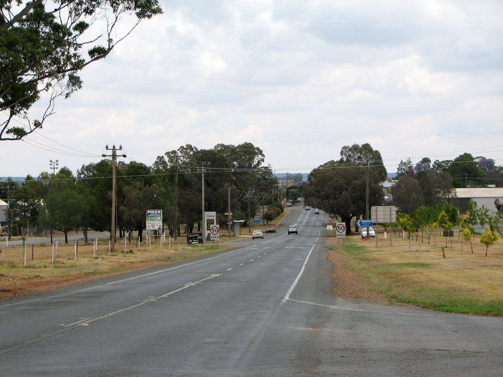
Burley Griffin Way looking west from the town centre towards the railway level crossing. Photo taken: November 2008. |
 |
ID sign at the junction of Victoria & Vester Streets, Temora. Photo taken: November 2008. |
 |
ID sign missing a SR94 shield and with incorrect use of lower case lettering, at the intersection of Vesper St and Mirrool Rd, Temora. Feb 2006. |
 |
Distance sign heading west from Temora. Feb 2006. |
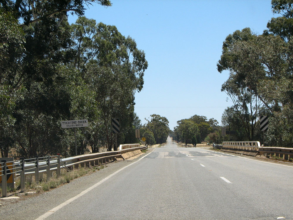 |
Looking west across Gillies Bridge over Tigalong Creek, 3km west of Temora. Photo taken: November 2008. |
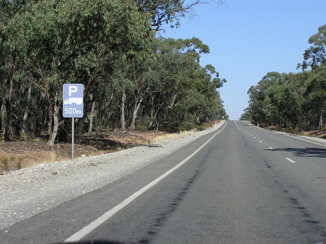 |
Unusual style of truck parking AD signage, approximately 10km west of Temora. Feb 2006. |
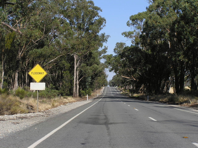 |
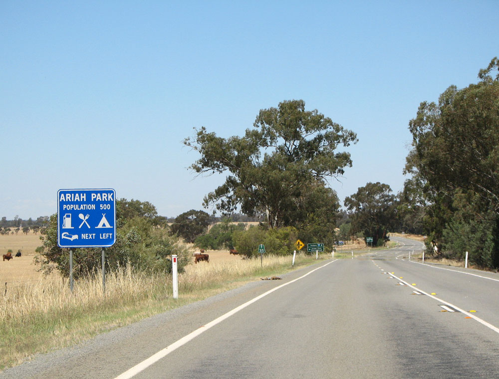
Recently upgraded section with one of many floodways between Temora and Ariah Park. Feb 2006. |
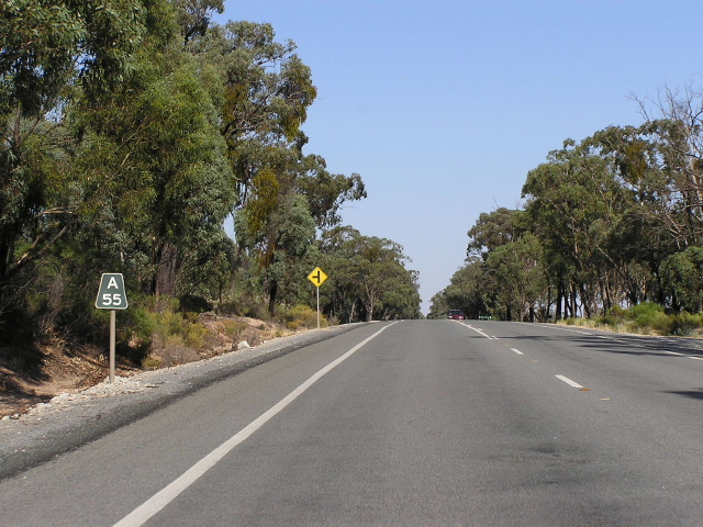 |
Black "A55" kilometre plate, approximately 12km west of Temora. 'A' refers to Ardlethan. Feb 2006. |
 |
Looking west along an upgraded section of Burley Griffin Way approximately 13km west of Temora. Photo taken: November 2008. |
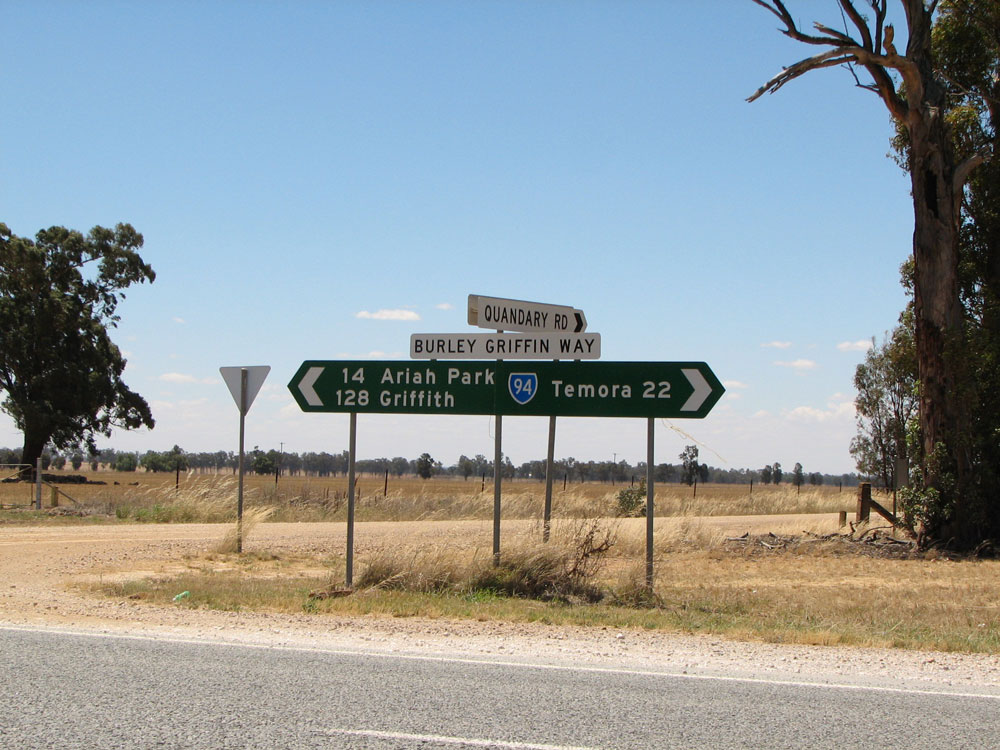 |
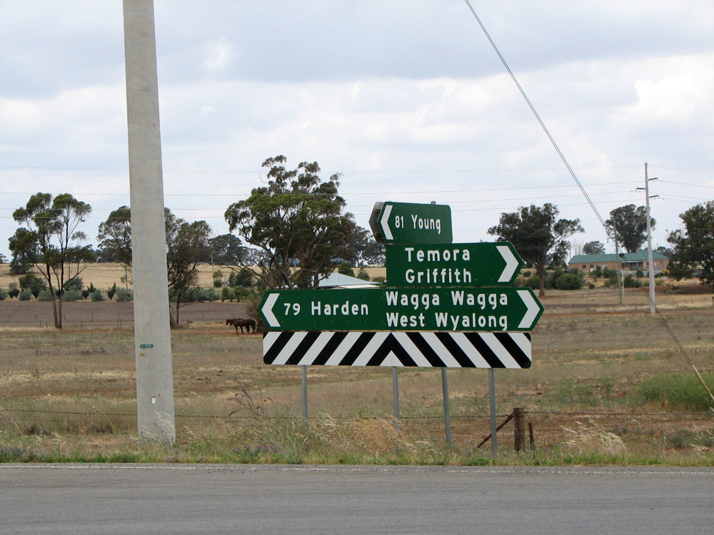
Typical fingerboard signs at the junction of Burley Griffin Way & Quandary Rd, 22km west of Temora. Photo taken: November 2008. |
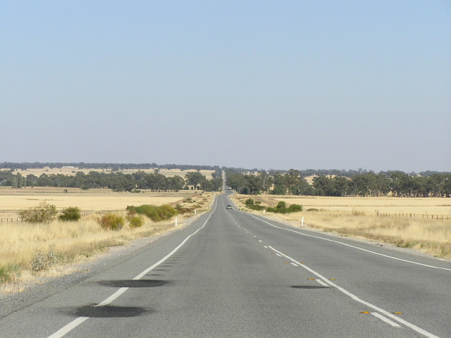 |
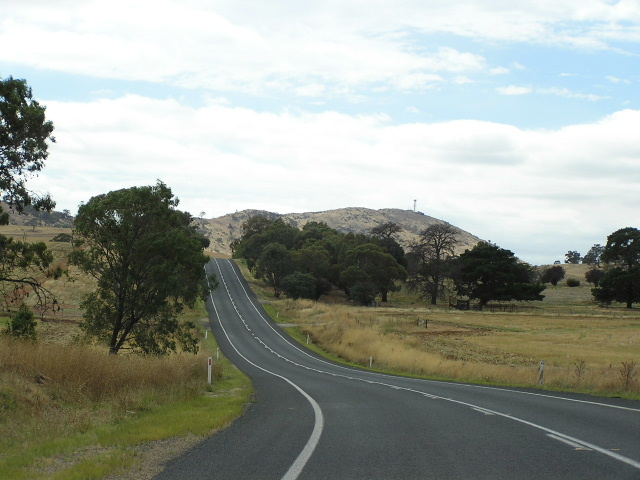
Expansive view westbound near Ariah Park. Feb 2006. |
 |
Dodgy service AD sign westbound on Burley Griffin Way approaching the junction with Mary Gilmore Way, Ariah Park. Photo taken: November 2008. |
 |
RD sign eastbound on Burley Griffin Way at the junction with Mary Gilmore Way, Ariah Park. Again note the peeling road name patch. Photo taken: November 2008. |
 |
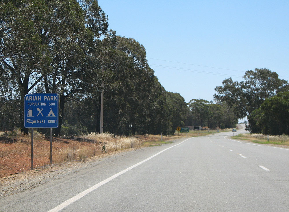
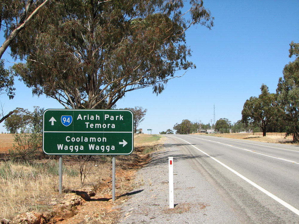
Westbound AD sign for the turnoff to Ariah Park. Feb 2006. |
 |
ID sign at the junction of Burley Griffin & Mary Gilmore Ways, Ariah Park. Photo taken: November 2008. |
 |
Eastbound view towards Mary Gilmore Way at Ariah Park. Photo taken: November 2008. |
 |
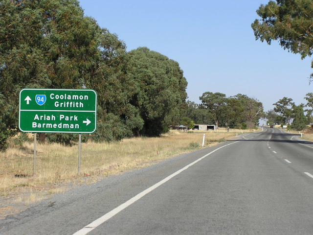
Westbound AD sign for the turnoff to Coolamon, near Ariah Park. Feb 2006. |
 |
Eastbound AD sign on Burley Griffin Way approaching the junction with Coolamon Rd, just west of Ariah Park. Photo taken: November 2008. |
 |
RD sign westbound on Burley Griffin Way after the junction with Coolamon Rd. Photo taken: November 2008. |
 |
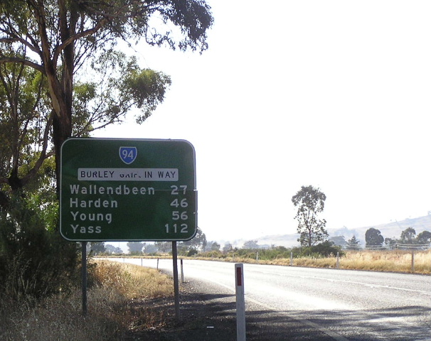
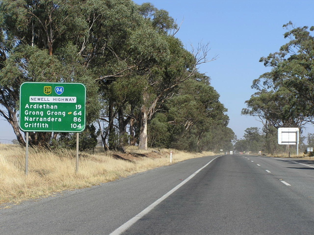
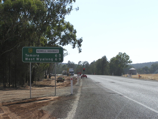
Distance sign heading east from Newell Highway near Mirrool. Note the "Burley Griffin Way" name doesnt fully fit within the name patch! Feb 2006. |
 |
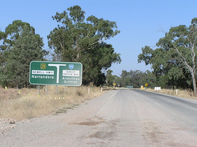
Looking west the junction with Newell Highway near Mirrool. Feb 2006. |
 |
Newell Highway southbound approaching the junction with Burley Griffin Way near Mirrool. Feb 2006. |
 |
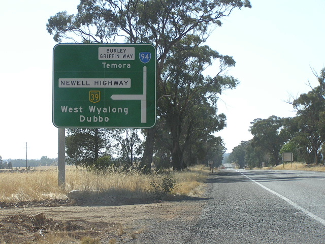
Distance sign heading west along Newell Highway from Burley Griffin Way. Feb 2006. |
 |
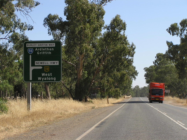
Diagrammatic AD sign eastbound on Newell Highway approaching the junction with Burley Griffin Way near Mirrool. Feb 2006. |
 |
Looking west along the NH39/SR94 duplex. Feb 2006. |
 |
Services sign typical in western NSW, informing motorists that a town with services is approaching. Feb 2006. |
 |
ational Highway project sign for the Ardlethan Realignment. If you take a look at the diagram, you can see that the Newell Highway has already once been realigned at this location - way back in 1970. The newer deviation was opened to traffic in February 2006 and eliminated one of the several T-junctions along the Newell Hwy in southwestern NSW. Feb 2006. |
 |
Roadwork underway on the Ardlethan Realignment with a tourist AD sign for the Burley Griffin Way turnoff. Feb 2006. |
 |
New AD sign for the new Burkey Griffin Way junction which was not yet opened to the public. Feb 2006. |
 |
New distance sign heading east from the Burley Grffin Way junction. Note the lack of focal points (where is the mention of Brisbane?) and no SR94 shield! Feb 2006. |
 |
Diagrammatic AD sign westbound on the old alignment of Newell Hwy approaching the old junction with Burley Griffin Way at Ardlethan. Feb 2006. |
 |
Southbound on the old alignment of Burley Griffin Way approaching the old junction with Newell Highway. Note the lack of a SR94 shield left. Feb 2006. |
 |
Northbound on the old Newell Highway approaching the old junction with Burley Griffin Way at Ardlethan. Feb 2006. |
 |
Fingerboard signage at the junction of Burley Griffin Way and the old alignment of Burley Griffin Way in Ardlethan. Feb 2006. |
 |
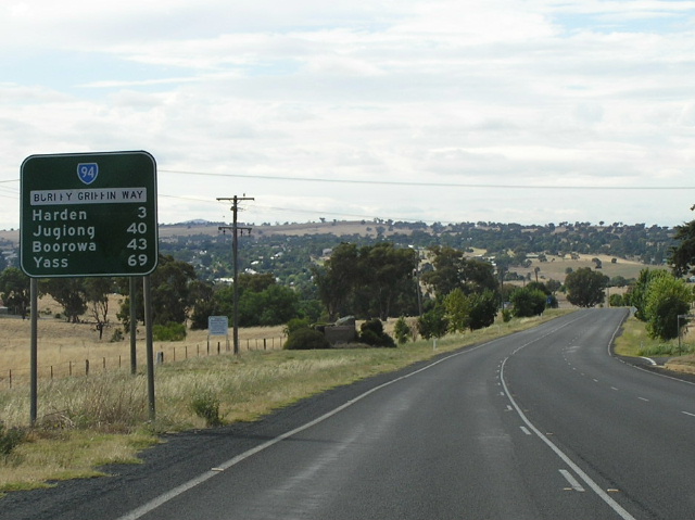
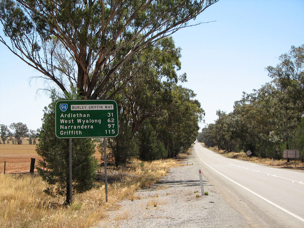
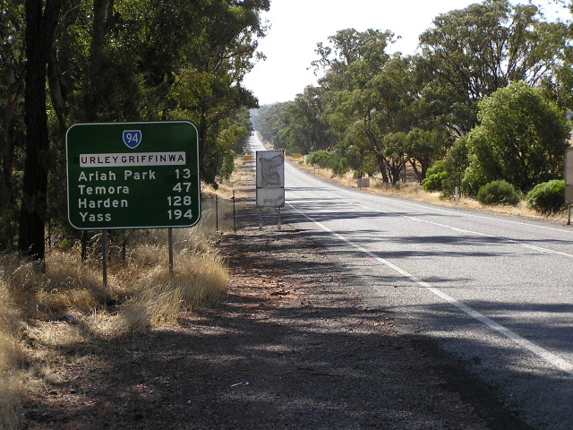
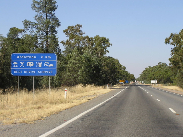
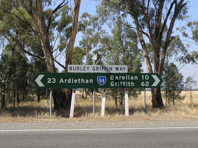
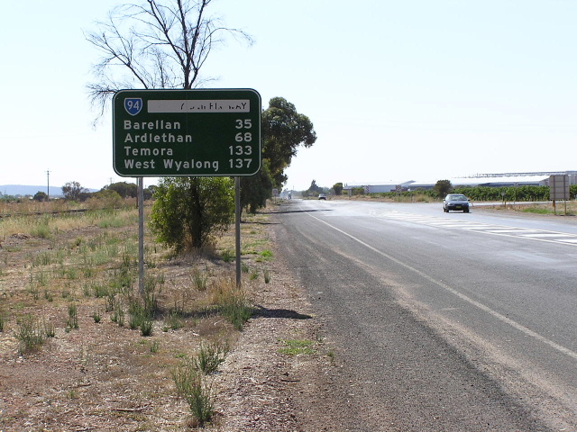
Distance sign heading west from Ardlethan. Feb 2006. |
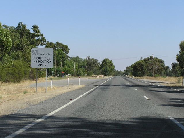 |
Looking west at the fruit fly exclusion zone boundary, near Kamarah. Feb 2006. |
 |
Fingerboard sign at Moombooldool, 10km east of Barellan. Feb 2006. |
 |
Typical view looking west near Barellan. Feb 2006. |
 |
Looking west through the tiny town of Barellan. Feb 2006. |
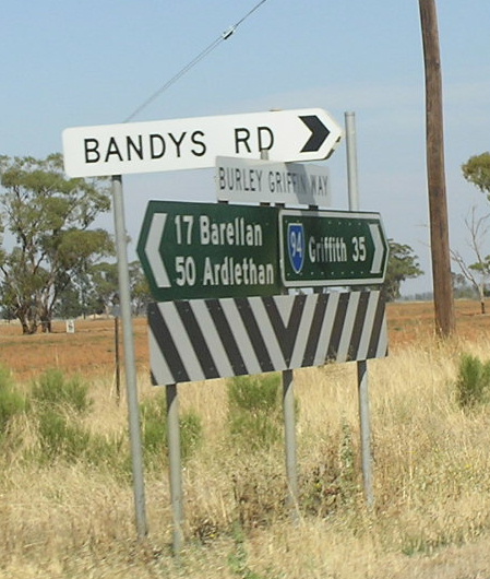 |
Dodgy fingerboard & ID sign assembly at Bandys Rd, 17km west of Barellan. Feb 2006. |
 |
Distance sign with peeling road name, heading east from Yenda. Feb 2006. |
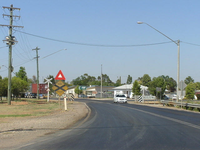 |
Looking west across the railway line at Yenda. Feb 2006. |
 |
Westbound AD sign for Whitton Rd at Yenda, with replacement of a narrow timber bridge underway in the background. Feb 2006. |
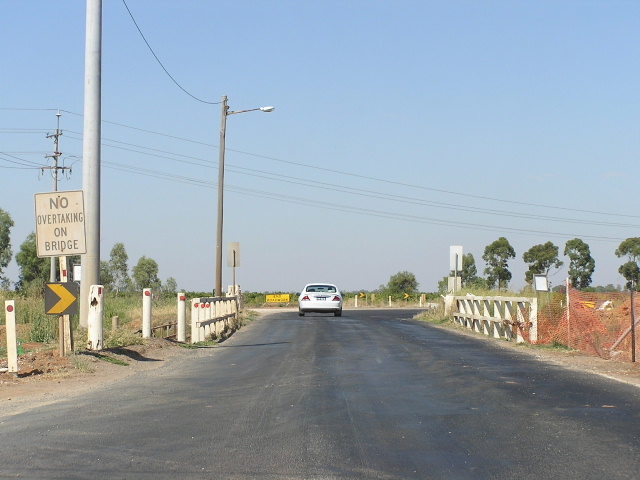 |
A closer view of the last timber bridge on Burley Griffin Way about to be replaced. Feb 2006. |
 |
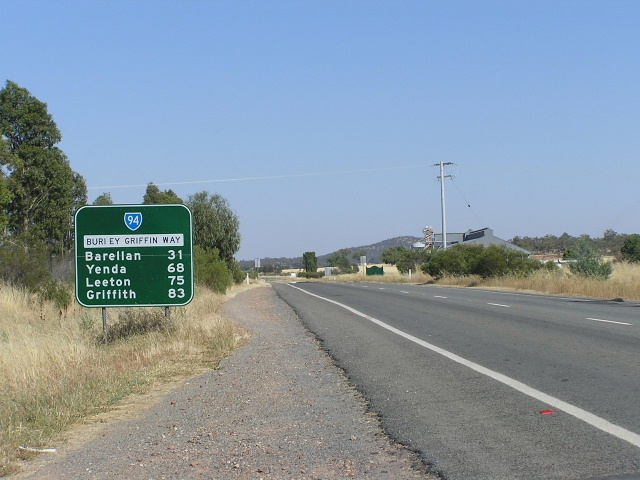
Distance sign heading west from Yenda. Feb 2006. |
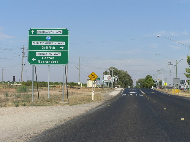 |
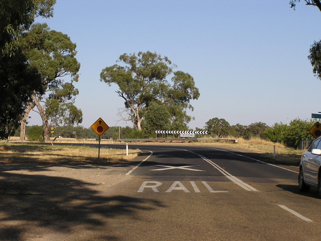
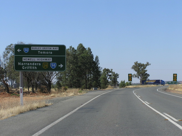
Heading southwest, approaching the junction with Irrigation Way at Yoogali. The intersection is situated just beyond this railway level crossing, and is handles a large volume of turning traffic, making it quite a dangerous intersection. The RTA has recently agreed to upgrade the intersection the near future. Feb 2006. |
 |
AD sign westbound on Irrigation Way approaching Burley Griffin Way at Yoogali. Feb 2006. |
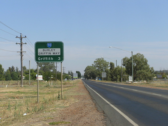 |
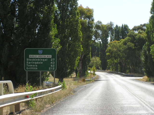
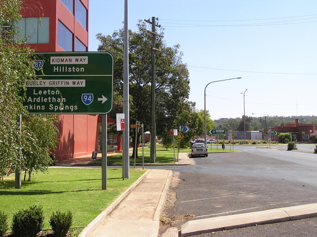
Distance sign with coverplated alpha-numeric route marker, heading west from Yoogali. Feb 2006. |
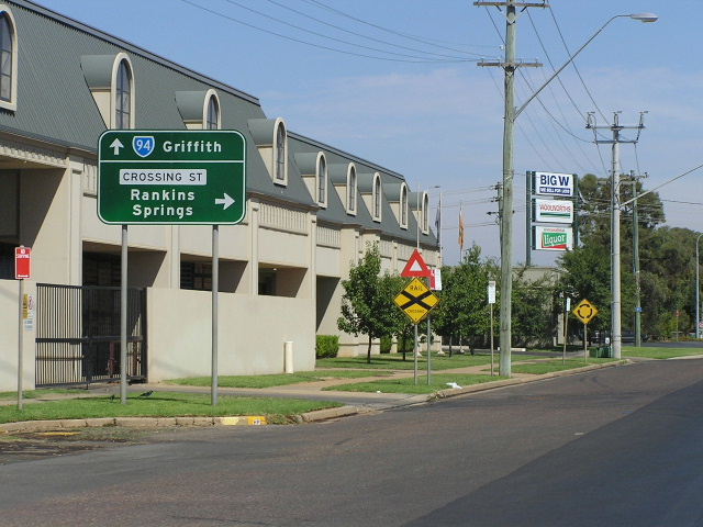 |
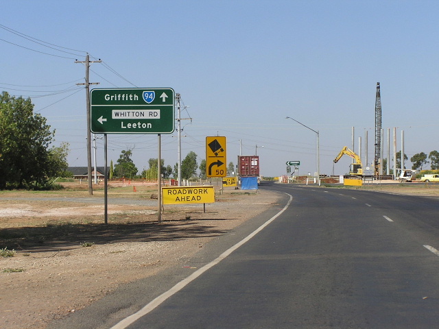
AD sign westbound approaching Crossing St in Griffith. Feb 2006. |
 |
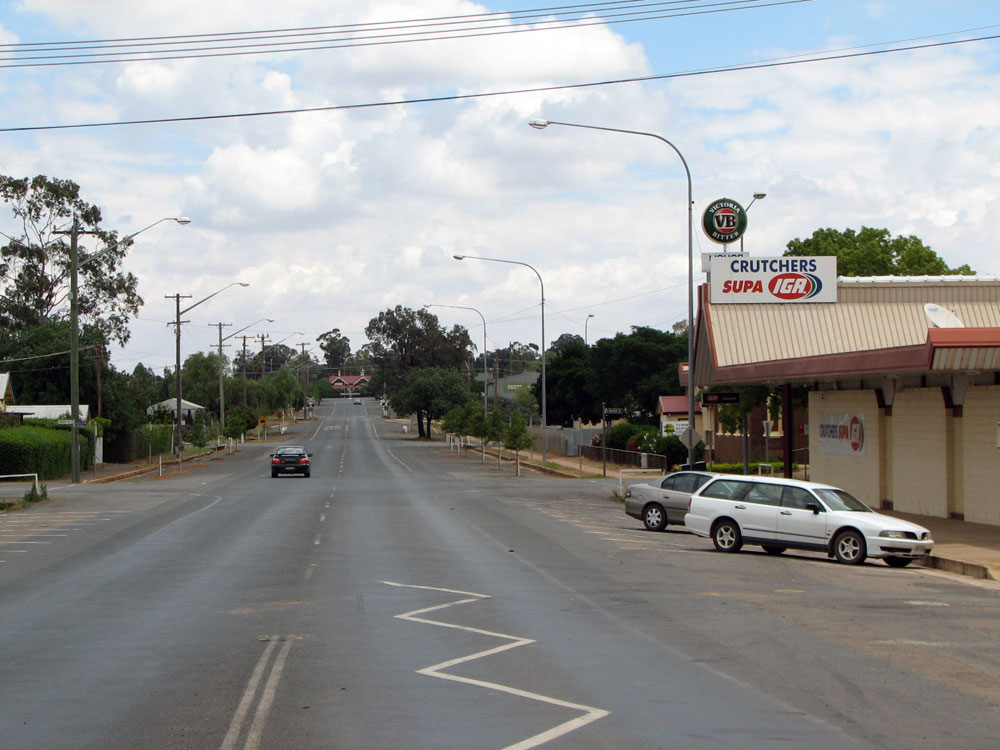
Westbound on the final stretch of Burley Griffin Way, with the Kidman Way junction in the distance. Feb 2006. |
 |
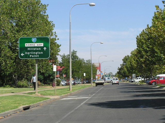
Eastbound on Kidman Way approaching the beginning of Burley Griffin Way at Griffith. Feb 2006. |
 |
Northbound on Kidman Way approaching the beginning of Burley Griffin Way at Griffith. Feb 2006. |
 |
Premature SR94 shield on this AD sign, eastbound on Kidman Way approaching Kookora St, West Griffith. Feb 2006. |
1. http://www.parliament.nsw.gov.au/prod/parlment/hansart.nsf/V3Key/LA20000530026 Accessed: 16 January 2006
Last updated 13 December 2012 © Ozroads 2003-2012. |