NSW State Route 87 Kidman Way |
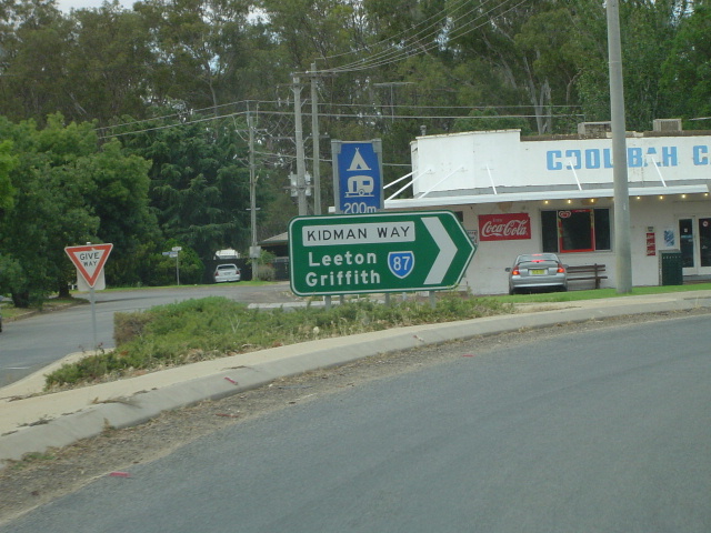
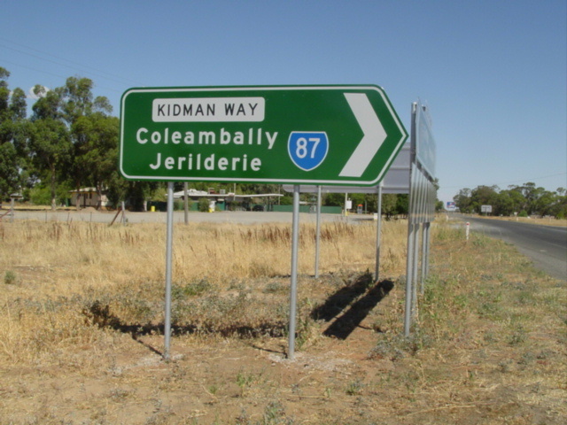
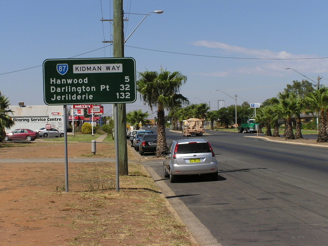
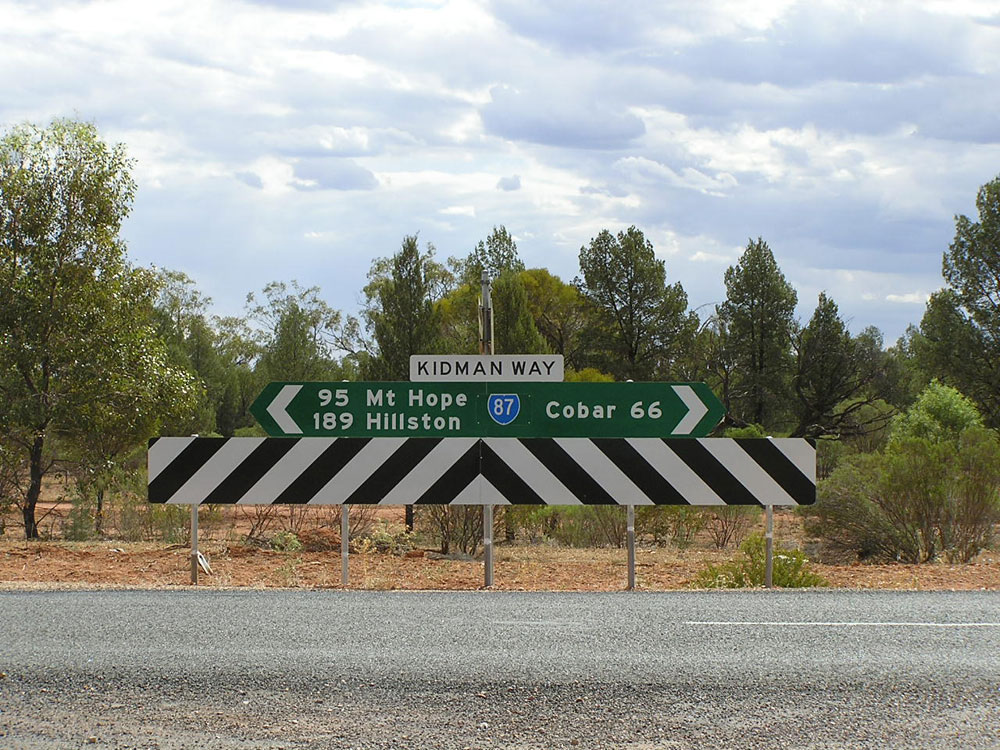
Northbound ID sign in Darlington Point, January 2005. (Vi Ong)
In 2013, RMS will be implementing a new alpha-numeric route numbering system. For more information, visit the RMS Website. |
|
Forthcoming alpha-numeric route number: |
|
Length: 651km
Northern Terminus: Mitchell Highway, Bourke
Southern Terminus: Newell Highway, 15km N Jerilderie
Route Names: Kidman Way
Focal Points: Jerilderie, Darlington Point, Griffith, Hillston, Cobar, Bourke
RTA Internal Classification: Main Road 321 (Newell Hwy-Griffith), Main Road 80 (Griffith-Hillston), Main Road 501 (Hillston-Wallanthery), Main Road 410 (Wallanthery-Nymadgee Turnoff), Main Road 61 (Nymadgee Turnoff-Cobar), Main Road 421 (Cobar-Bourke)
Named: May 2001
Route Overview:
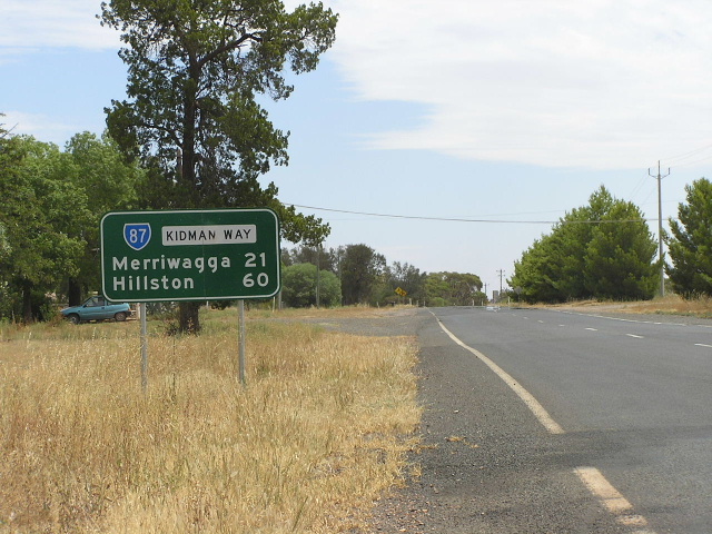
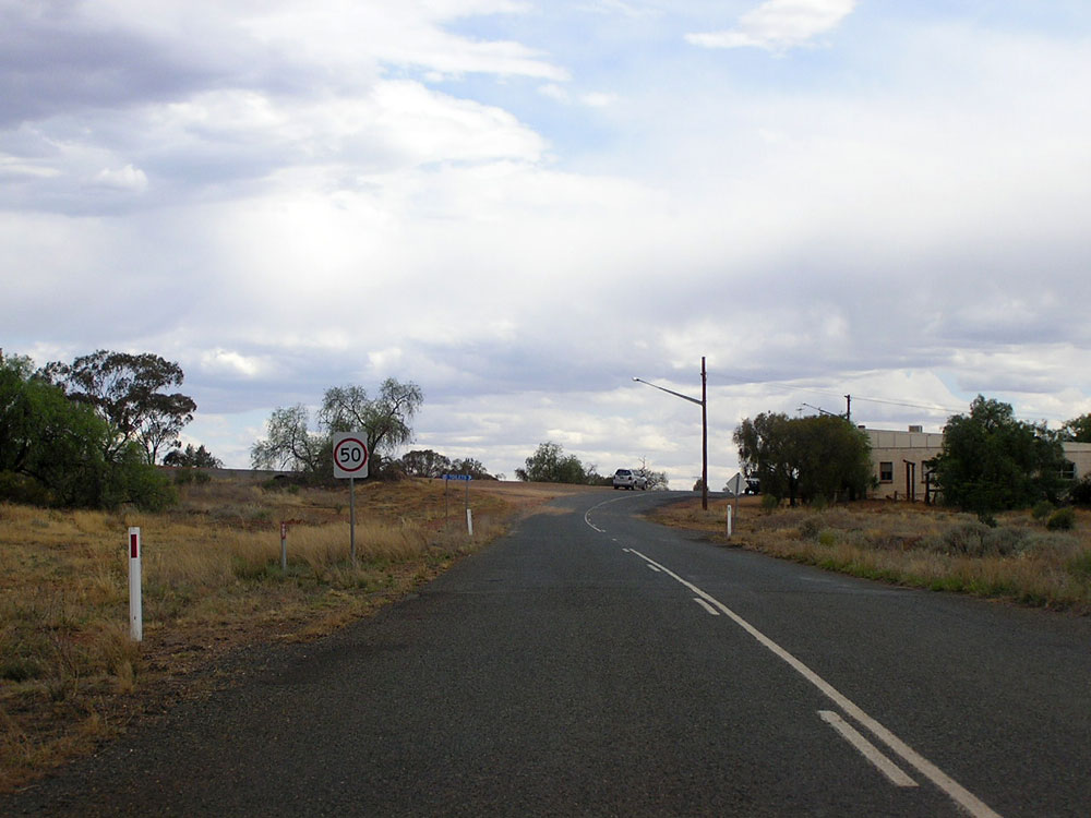
State Route 87, the Kidman Way, is a north-south through western NSW, connecting the Riverina, the Murrumbidgee and the outback. It was only fully sealed in May 2001, and it was at that time that the route was extended north to Bourke. Previously, since 1974, SR87 had only extended as far north as Hillston - being the only fully sealed section. Many signs between Hillston and Bourke were yet to show the SR87 shield when I last went through in December 2006, however the RTA has steadily been replacing signs and including the SR87 or B87 route markers.
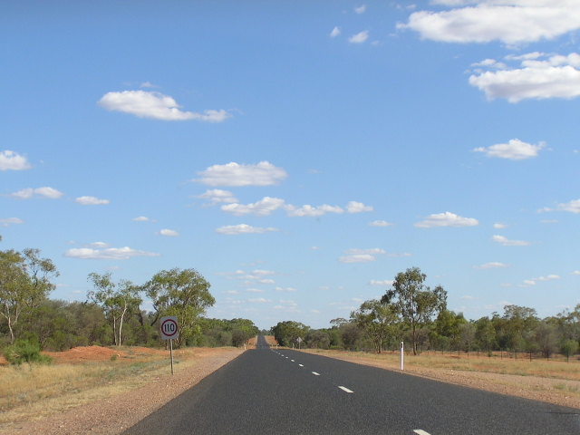
The road is generally of excellent two-lane sealed quality - with a 110km/h speed limit between Bourke and Cobar and Cobar and Hillston.
Notable events in the history of the Kidman Way:
1886 - Punt established at Darlington Point across Murrumbidgee River
1905 - Old bridge across Murrumbidgee River at Darlington Point
December 1971 - Fully sealed south of Hillston, the last section being from Goolgowi to Hillston
1974 - SR87 signposted between Hillston & Jerilderie
December 1978 - New bridge over Murrumbidgee River at Darlington Point
1998 - Replacement of Willanthry Bridge over Lachlan River at Wallanthery (the old bridge was subsequently demolished in 2010)
May 2001- Fully sealed between Hillston and Bourke & named Kidman Way, SR87 extended north to Bourke
Photos of SR87 - Kidman Way |
|
 |
First mention of the Kidman Way on the Newell Hwy about 4km before the turnoff. I have no idea where they pulled a SR52 shield from as the Kidman is SR87 and Main Road No. 321. Jan 2005. |
 |
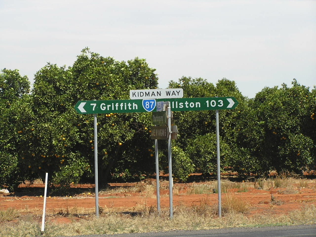
Northbound Newell Hwy at the Kidman Way turnoff. Jan 2005. |
 |
Southbound Newell Hwy at the Kidman Wat turnoff. Note the incorrect - not old - NR39 shield. Jan 2005. |
 |
The end of the Kidman Way at Newell Hwy. Jan 2005. |
 |
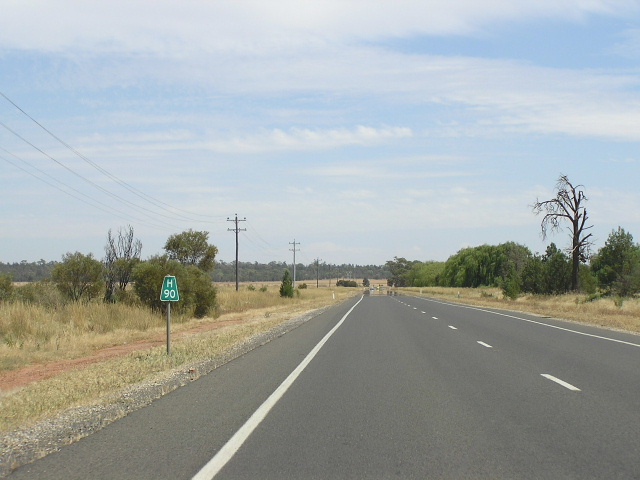
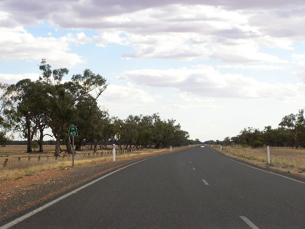
The first northbound RD sign on Kidman Way. Jan 2005. |
 |
Southbound distance sign from the Sturt Hwy at Waddi. Photo taken January 2004. |
 |
Sturt Hwy staggered T-intersections, Waddi. Photo taken January 2004. |
 |
Eastbound ID sign for southbound SR87, same intersection. Photo taken January 2004. |
 |
Diagrammatic AD sign showing the staggered T-intersections, Waddi. Photo taken January 2004. |
 |
Westbound ID sign for northbound SR87 traffic, same intersection. Photo taken January 2004. |
 |
Southbound SR87 approaching Sturt Hwy, Waddi. Photo taken January 2004. |
 |
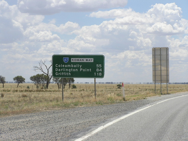
Northbound distance sign from Waddi. Jan 2005. (Vi Ong) |
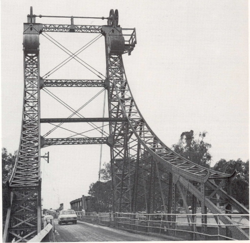 |
Two views of the old Murrumbidgee River bridge at Darlington Point, 1978. Scanned from Department of Main Roads Journal. |
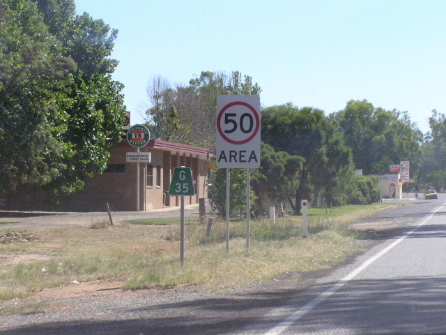 |
Griffith 35km plate northbound in Darlington Point. Photo taken January 2004. |
 |
Heading south from Whitton Rd towards Darlington Pt. Photo taken January 2004. |
 |
Appraoching Whitton Rd intersection, Darlington Point. Jan 2005. (Vi Ong) |
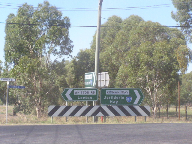 |
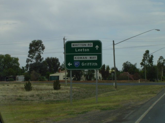
ID signs at Whitton Rd. Photo taken January 2004. |
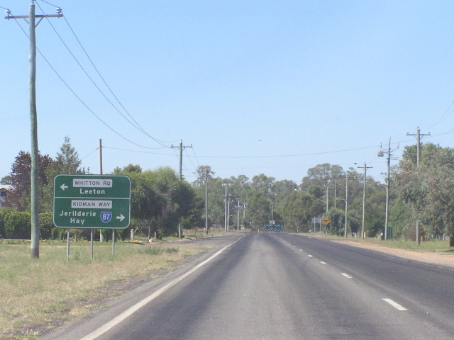 |
Southbound approaching Whitton Rd. Photo taken January 2004. |
 |
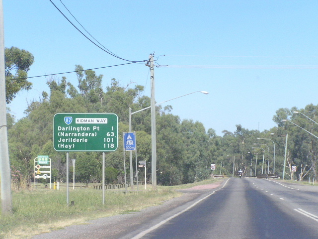
Northbound leaving Darlington Pt. It is strange to have only one focal point on such a long distance route, Hillston would not be out of place on this sign. Photo taken January 2004. |
 |
Looking north on the southern outskirts of Griffith. Jan 2005. (Vi Ong) |
 |
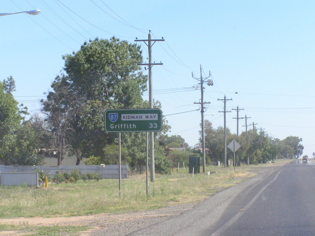
Distance sign heading south from Bridge Road, Griffith. Feb 2006. |
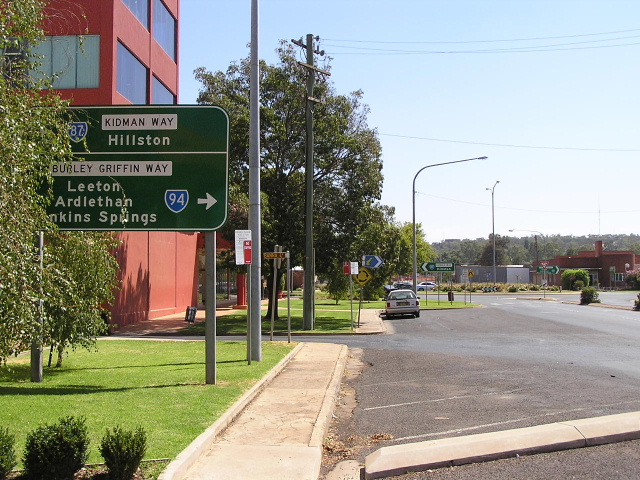 |
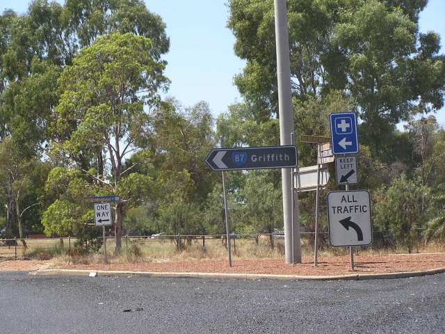
Northbound on Kidman Way (Jondaryan Ave) approaching Burley Griffin Way (Banna Ave) in Griffith. Feb 2006. |
 |
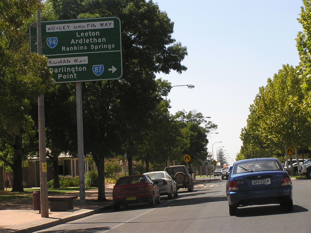
Westbound on Burley Griffin Way approaching Kidman Way in Griffith. Feb 2006. |
 |
Eastbound on Kidman Way approaching the beginning of Burley Griffin Way in Griffith. Feb 2006. |
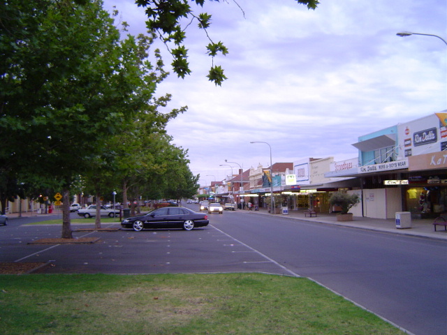 |
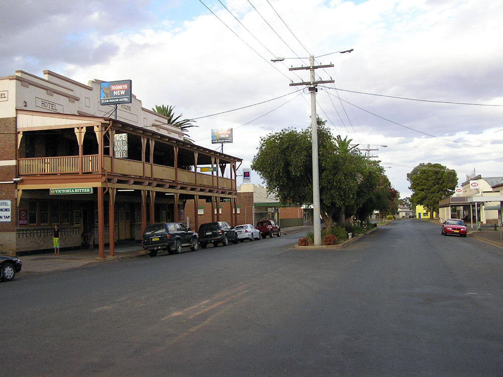
Looking east along Banna Ave, the main street of Griffith. Jan 2005. (Vi Ong) |
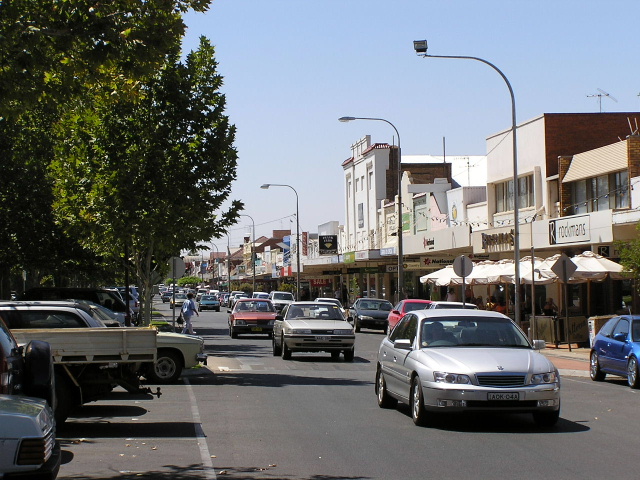 |
Looking east along Banna Ave, the picturesque main street of Griffith. Unfortunately, its amenity is spoiled by the relentless traffic james that plague the main street all day. Feb 2006. |
 |
A westbound view of the westbound lanes of Banna Street. Note the large, tree-lined median that separates traffic flows and allows for ample parking. Feb 2006. |
 |
Black ID sign, possibly dating from when SR87 was first signed, at the corner of Benerembah St and Griffin Ave. Feb 2006. |
 |
Another black ID sign at the same intersection, this time facing eastbound traffic. Feb 2006. |
 |
Incorrect SR94 shield (should have the word "To" next to it, or be a SR87 shield) at the intersection of Kidman Way and Kookora St. Feb 2006. |
 |
Distance sign with a SR87 shield added as an afterthought, heading west from Griffith. Feb 2006. |
 |
Fingerboard sign at Lakes Rd, Tharbogang. Feb 2006. |
 |
Typical road quality across the flat, featureless plains between Griffith and Hillston. Feb 2006. |
 |
Fingerboard sign at Tabbita Lane, Tabbita - the access road to the major Tabbita Feedlot. The silos form an impressive backdrop to the Kidman Way at this location. Feb 2006. |
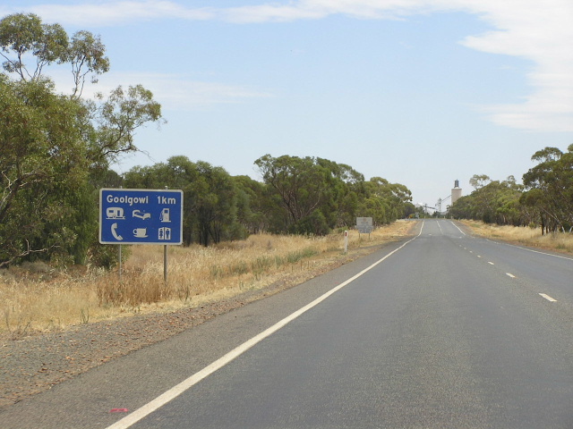 |
Unusual design for this town services sign, northbound approaching Goolgowi. Feb 2006. |
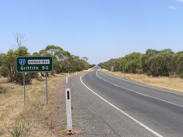 |
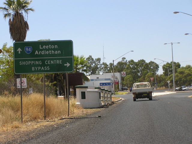
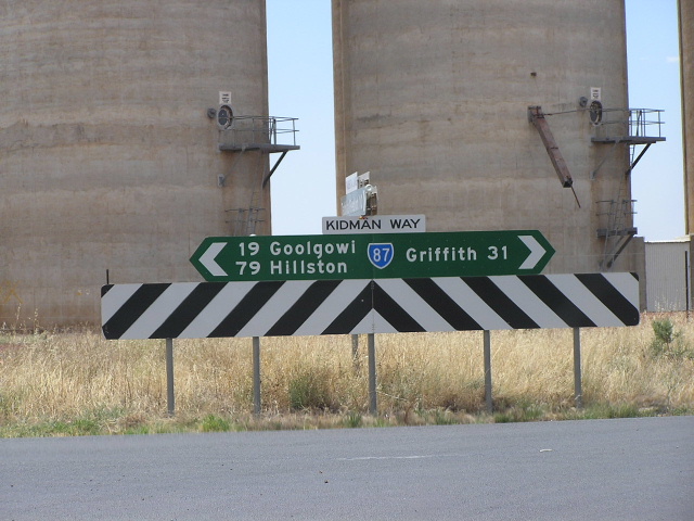
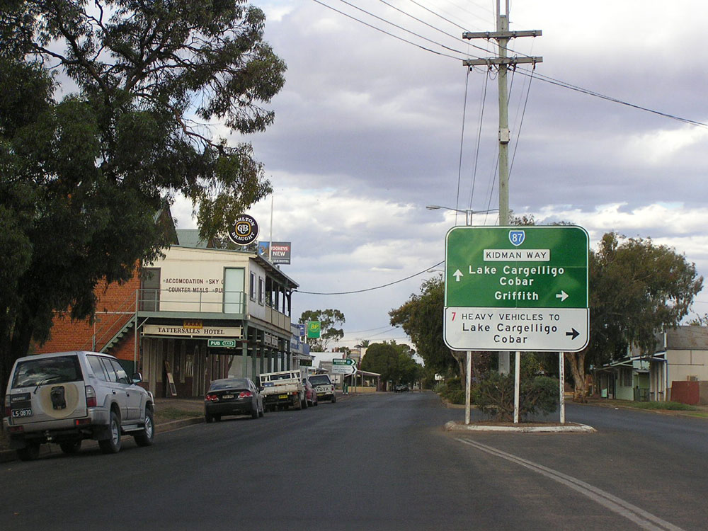
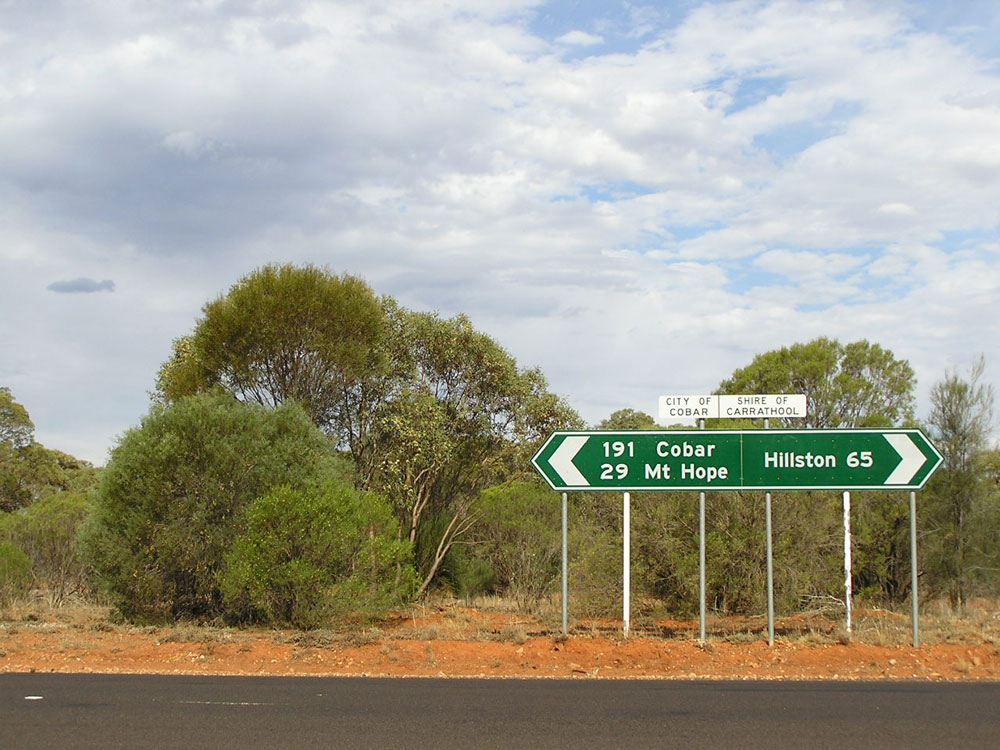
Distance sign heading south from Goolgowi. I am disappointed that other focal points, such as Darlington Point, Jerilderie or even Leeton (not on route, but on Main Road No. 80 - the Kidman Way's gazetted classification at this location) are not included on the sign. Feb 2006. |
 |
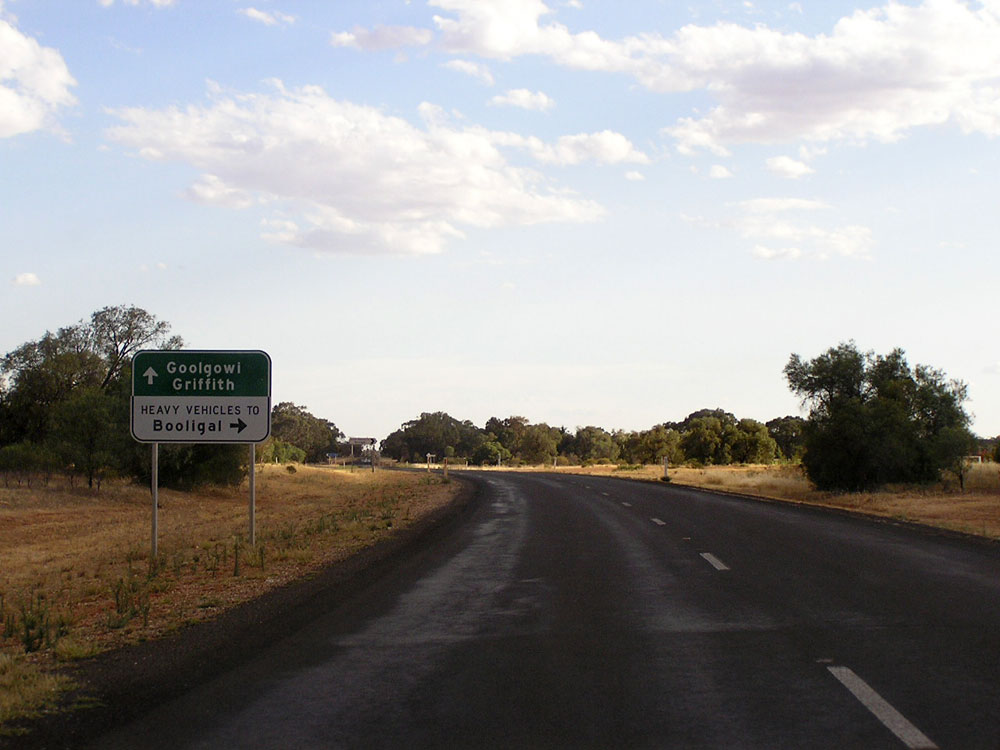
Mid Western Highway westbound approaching the junction with Kidman Way at Goolgowi. Feb 2006. |
 |
Mid Western Highway eastbound approaching the junction with Kidman Way at Goolgowi. Feb 2006. |
 |
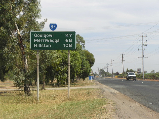
Northbound distance sign leaving Goolgowi. I am disappointed that no focal points beyond Hillston are included - for a road that is marketed as a long distance tourism route it is not very well signed! Feb 2006. |
 |
Dodgy fingerboard sign facing traffic leaving a rest area, 2km south of Hillston. Photo taken: December 2006. |
 |
Brand new fingerboard sign with exposed alpha-numeric route marker at the junction with the heavy vehicle alternative route around Hillston, 2km south of the town centre. Note the incorrect distance! Photo taken: December 2006. |
 |
AD sign southbound on Kidman Way approaching the junction with heavy vehicle alternative route around Hillston, 2km south of the town centre. Note the absence of a SR87 shield. Photo taken: December 2006. |
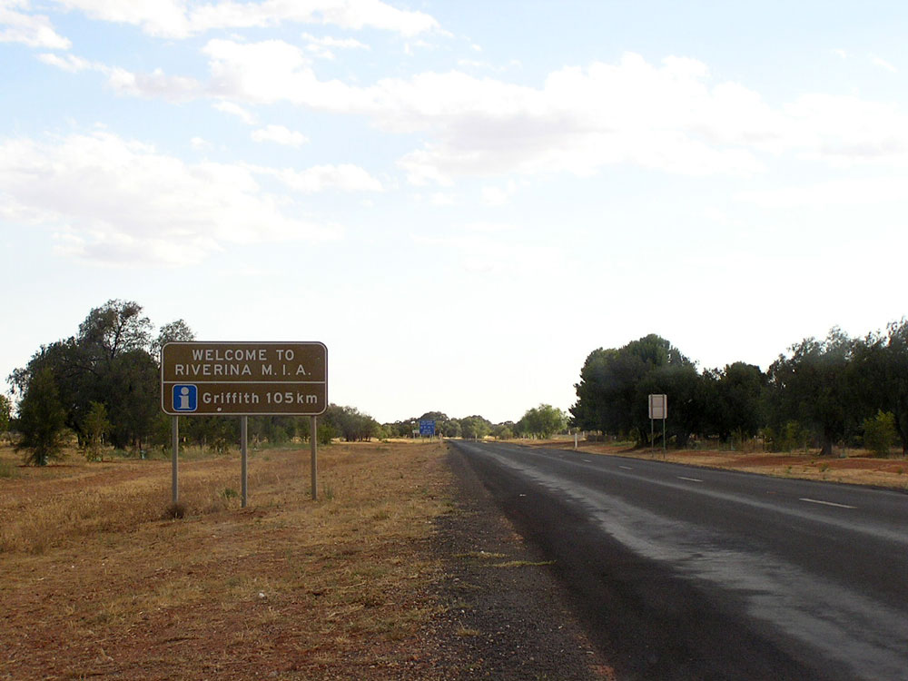 |
Tourist sign welcoming travellers to the Murrumbidgee Irrigation Area, southbound on Kidman Way, 1km south of Hillston. Photo taken: December 2006. |
 |
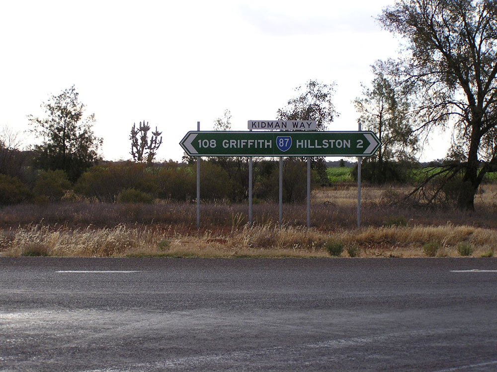
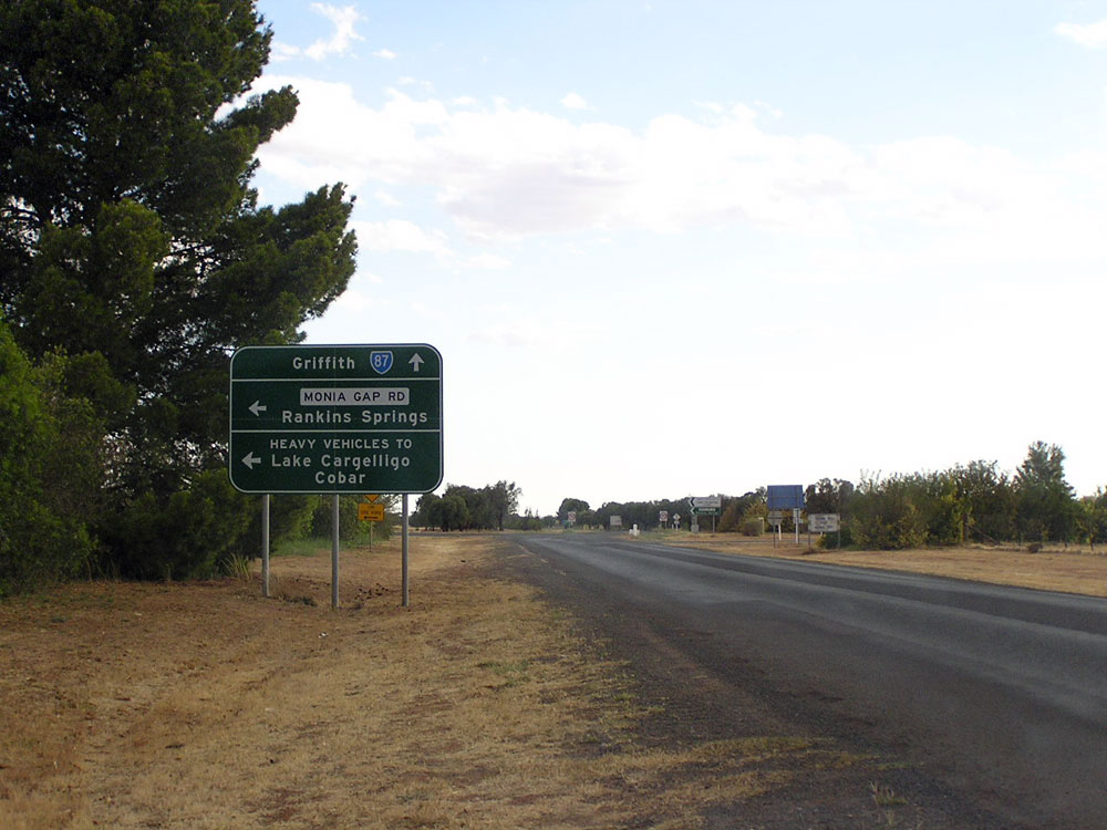
RD sign southbound on Kidman Way near the junction with Monia Gap Road, Hillston. Photo taken: December 2006. |
 |
AD sign northbound on Kidman Way approaching the junction with Monia Gap Road at Hillston. Heavy vehicles are diverted around the town centre via Monia Gap Road and Cowper Street. Note that the lower panel should be black-on-white, rather than white-on-green. Photo taken: December 2006. |
 |
AD sign westbound on Monia Gap Road approaching the junction with Kidman Way at Hillston. Photo taken: December 2006. |
 |
AD sign southbound on Kidman Way approaching the junction with Monia Gap Road at Hillston. Photo taken: December 2006. |
 |
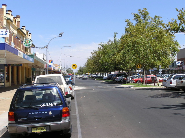
Kidman Way (McGee Street) looking south at Hillston. Photo taken: December 2006. |
 |
Kidman Way (McGee Street) looking north towards the junction with High Street at Hillston. Photo taken: December 2006. |
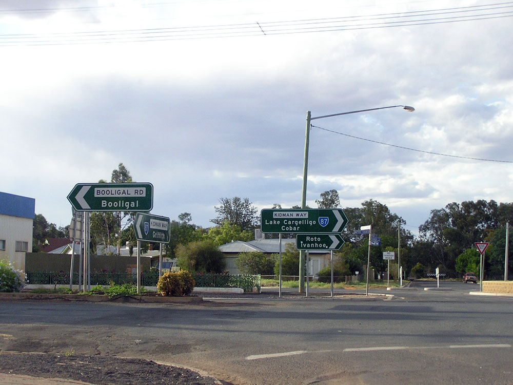 |
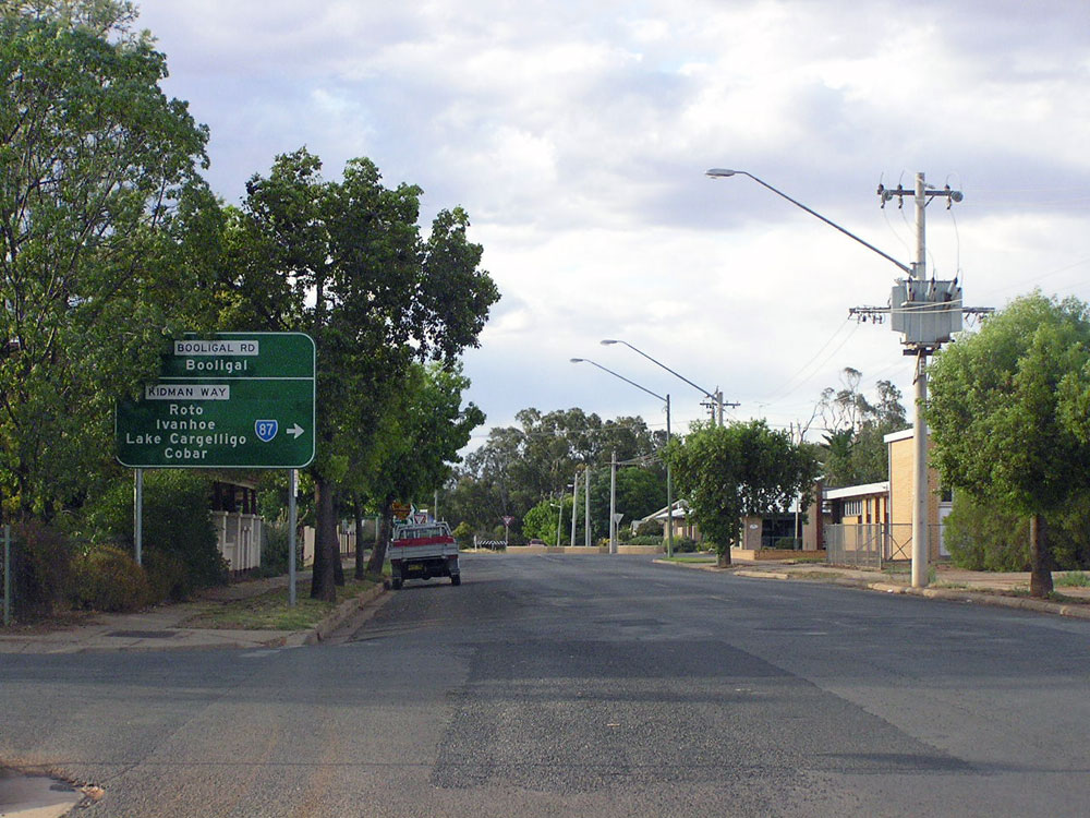
ID sign assemblies at the junction of High & McGee Streets, Hillston. Photo taken: December 2006. |
 |
AD sign eastbound on High Street approaching the junction with McGee Street, Hillston. Photo taken: December 2006. |
 |
High Street looking east through Hillston town centre. Photo taken: December 2006. |
 |
High Street looking south near Keats Street, Hillston. Photo taken: December 2006. |
 |
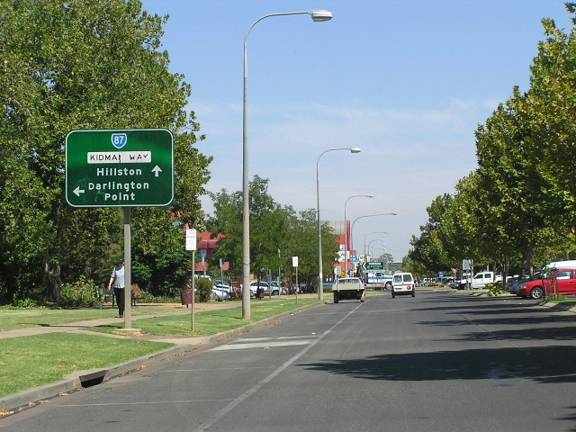
High Street looking north towards the junction with Keats Street, Hillston. Kidman Way/SR87 turns right at this intersection. Photo taken: December 2006. |
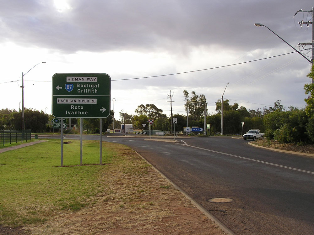 |
Kidman Way (Keats Street) looking west to the junction with High Street (Kidman Way) & Lachlan River Road, Hillston. Photo taken: December 2006. |
 |
Kidman Way (Keats Street) looking east from the junction with High Street, Hillston. Photo taken: December 2006. |
 |
AD sign southbound on Cowper Street approaching the junction with Kidman Way (Keats Street), Hillston. Cowper Street provides an alternative route for heavy vehicles to avoid the town centre. Photo taken: December 2006. |
 |
ID sign facing northbound traffic on the Hillston heavy vehicle route, at the junction of Kidman Way (Keats Street) & Cowper Street, Hillston. Photo taken: December 2006. |
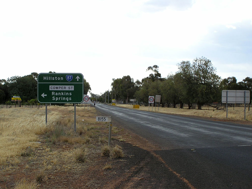 |
Kidman Way looking west towards the junction with Cowper Street, Hillston. Cowper Street provides an alternative route for heavy vehicles to avoid the town centre. Photo taken: December 2006. |
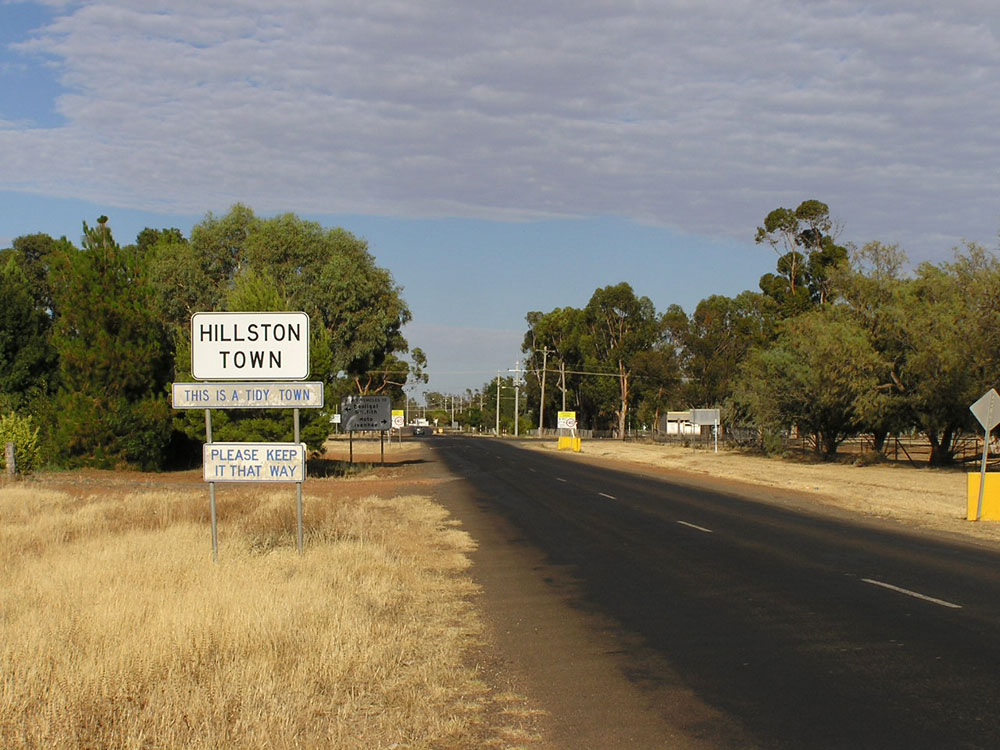 |
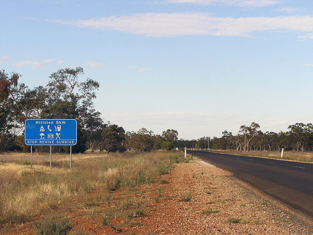
Welcome signs as you enter Hillston from the east on Kidman Way. Photo taken: December 2006. |
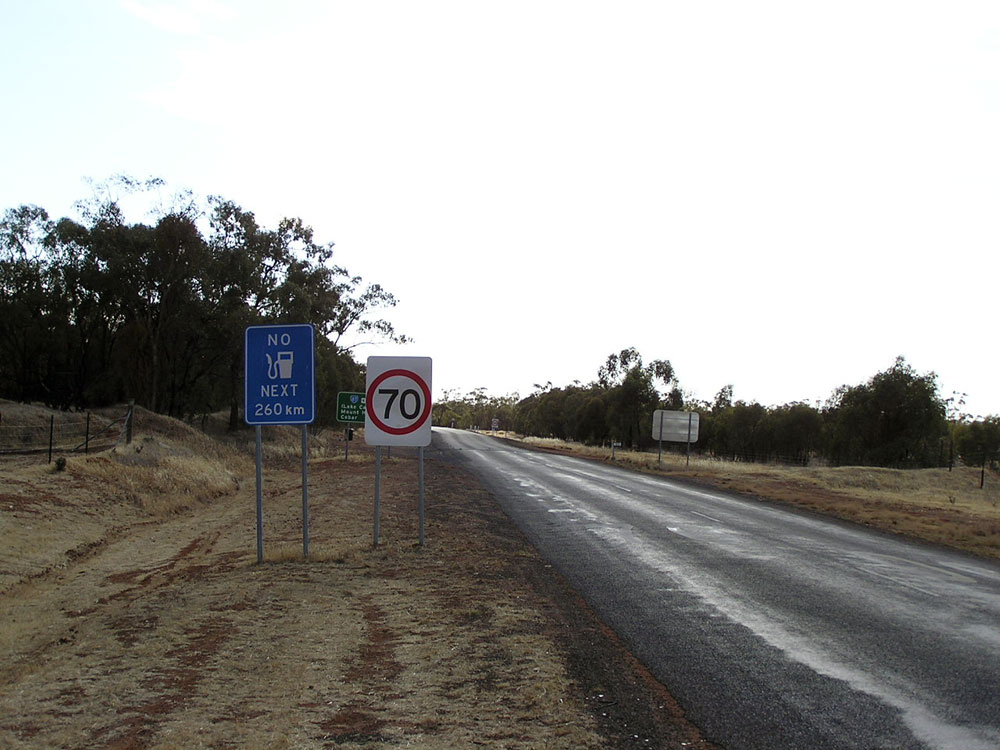 |
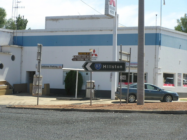
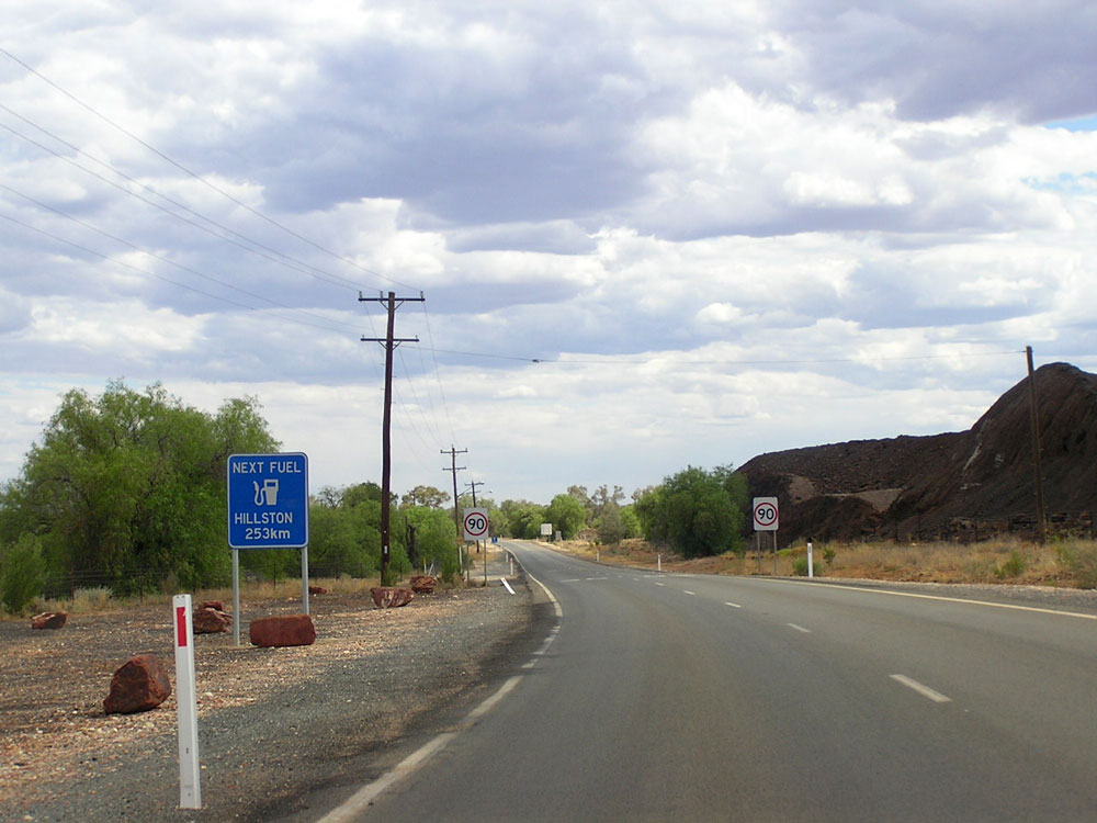
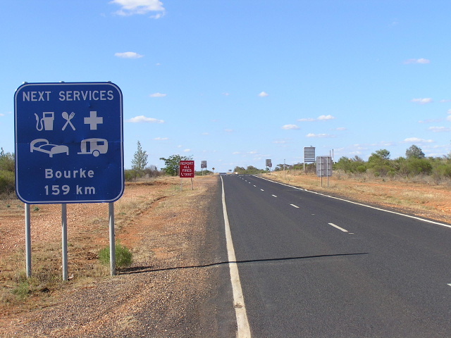
Service sign leaving Hillston on Kidman Way - no fuel is available until you reach Cobar. Photo taken: December 2006. |
 |
RD sign eastbound on Kidman Way as you leave Hillston. Photo taken: December 2006. |
 |
Service signage westbound on Kidman Way, 5km east of Hillston. Photo taken: December 2006. |
 |
Kidman Way looking east approximately 6km east of Hillston. Photo taken: December 2006. |
 |
Fingerboard signs at the junction of Kidman Way & Parkers Rd, 17km east of Hillston. Photo taken: December 2006. |
 |
Kidman Way looking east, 26km east of Hillston. Photo taken: December 2006. |
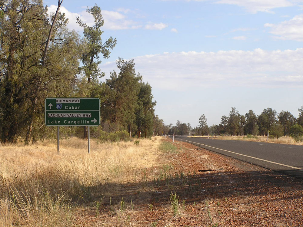 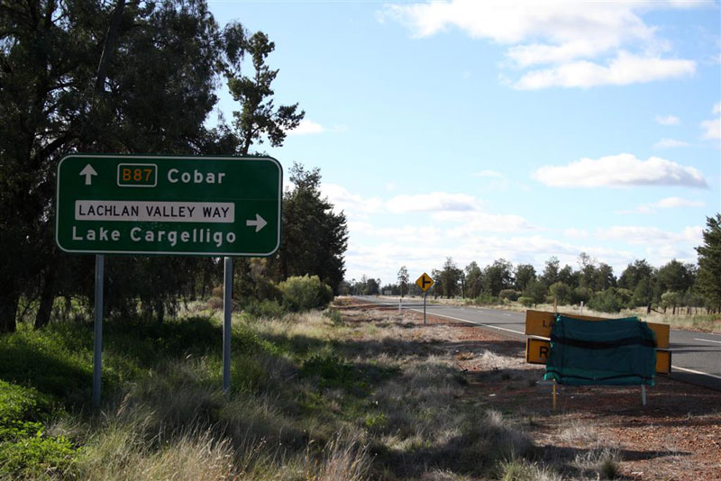 |
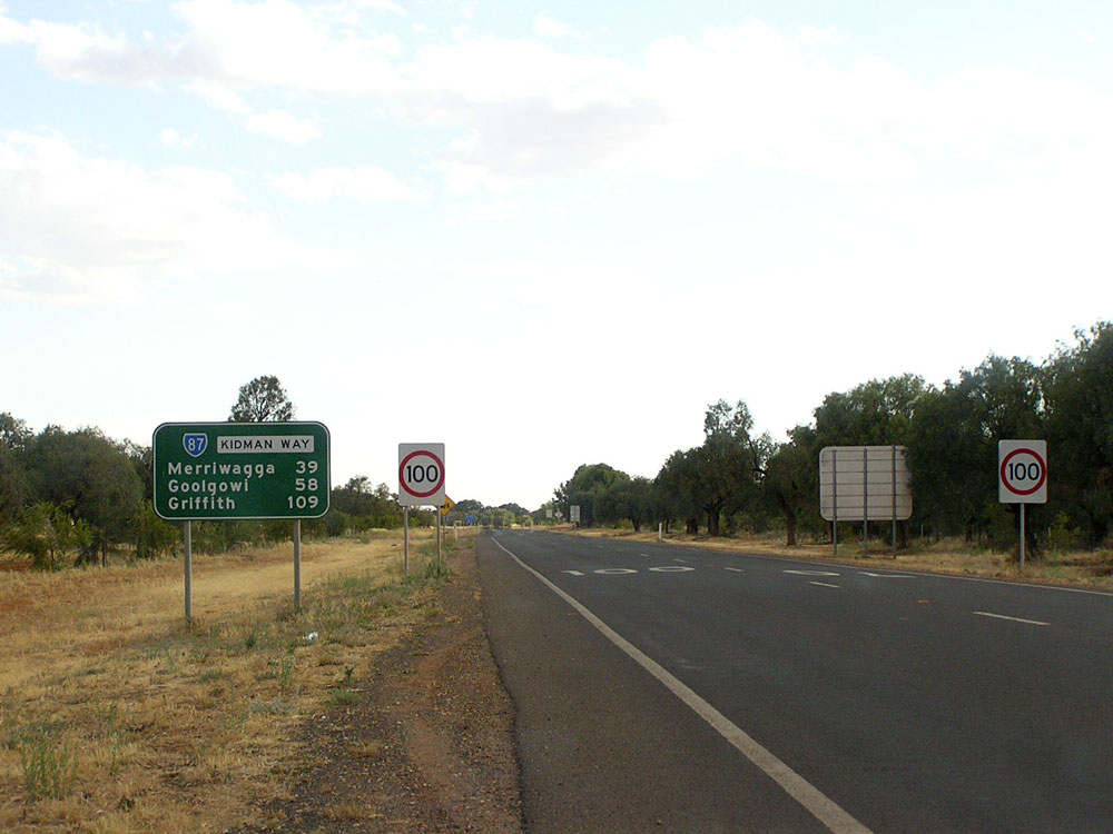
Old and new AD signs northbound on Kidman Way approaching the junction with Lachlan Valley Way, 34km east of Hillston. Note the exposed B87 route marker on the new AD sign and also the missing line separating the two panels. Top photo: Sam Laybutt, December 2006. Bottom photo: Rick Wardle, July 2009. |
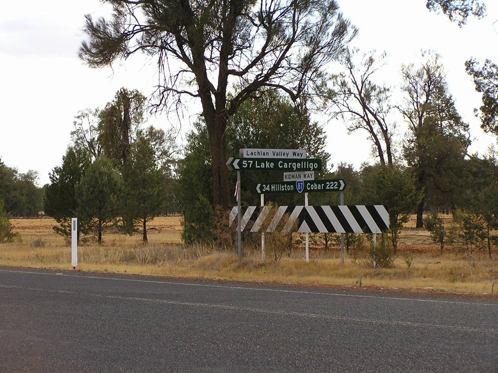 |
Fingerboard sign assembly at the junction of Kidman Way & Lachlan Valley Way, 34km east of Hillston. Photo taken: December 2006. |
 |
AD sign westbound on Lachlan Valley Way approaching the junction with Kidman Way. Photo taken: December 2006. |
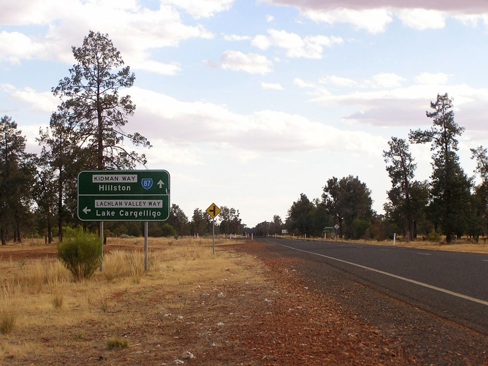 |
AD sign southbound on Kidman Way approaching the junction with Lachlan Valley Way, 34km east of Hillston. Photo taken: December 2006. |
 |
Kidman Way looking south across the Lachlan River at Wallanthery, 35km east of Hillston. Photo taken: December 2006. |
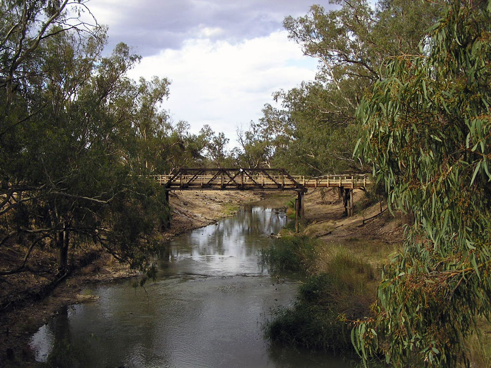 |
The former bridge over Lachlan River at Wallanthery, located just to the east of the present bridge which was constructed in 1998. Unfortunately this piece of history was demolished by the RTA in 2010. Photo taken: December 2006. |
 |
Fingerboard sign assembly at the junction of Kidman Way & Willanthery Road just north of the Lachlan River, 36km east of Hillston. Photo taken: December 2006. |
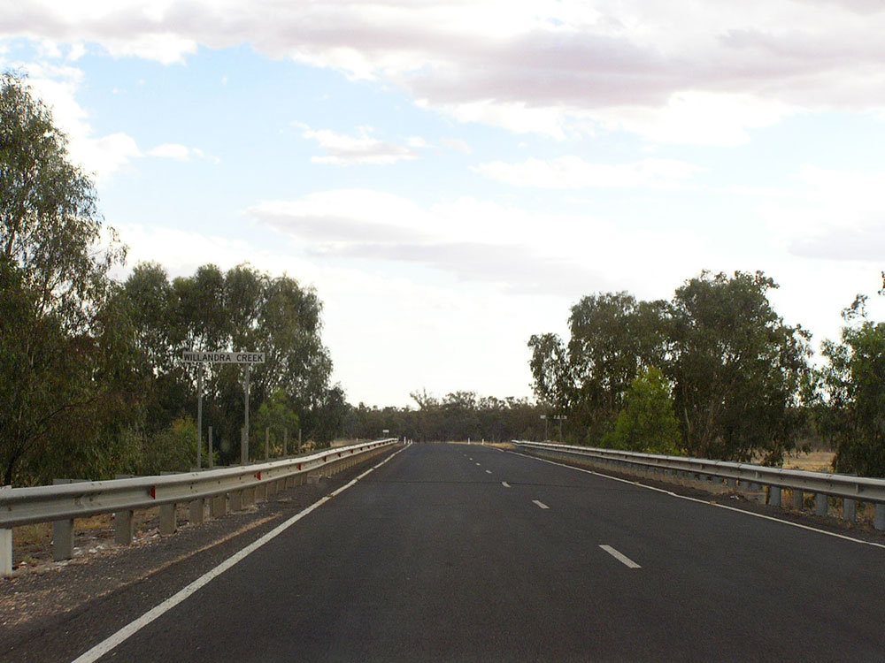 |
Kidman Way looking south across the bridge over Willandra Creek, 37km east of Hillston. Photo taken: December 2006. |
 |
Kidman Way looking south, 45km north of Hillston. Photo taken: December 2006. |
 |
Dodgy fingerboard sign at the boundary of Carrathool and Cobar Shires, 65km north of Hillston. Photo taken: December 2006. |
 |
Kidman Way looking south near the boundary of Carrathool and Cobar Shires, 65km north of Hillston. Photo taken: December 2006. |
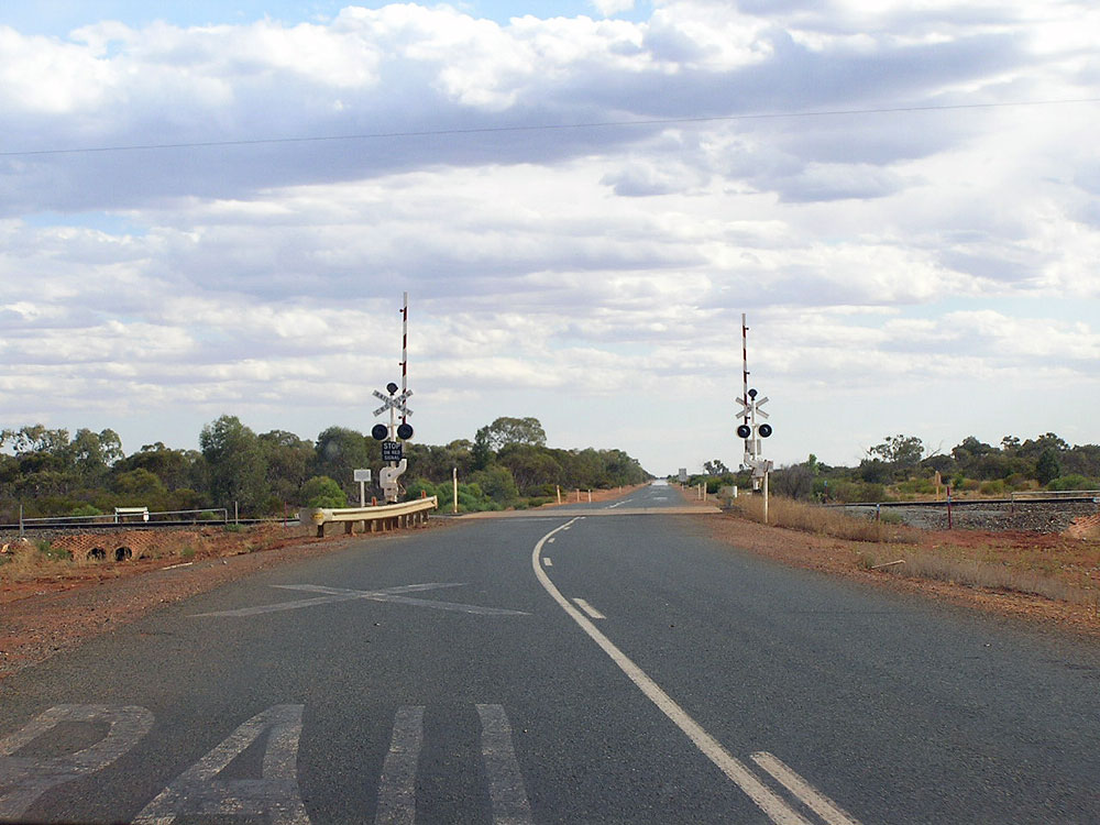 |
Kidman Way looking south across the Parkes-Broken Hill railway line, 76km north of Hillston. Photo taken: December 2006. |
 |
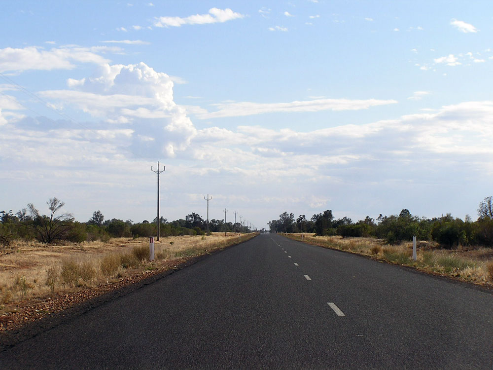
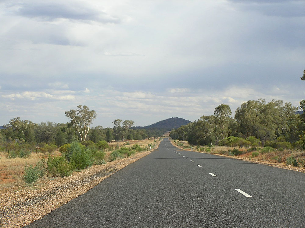
Typical view of Kidman Way, looking south approximately 82km north of Hillston. Photo taken: December 2006. |
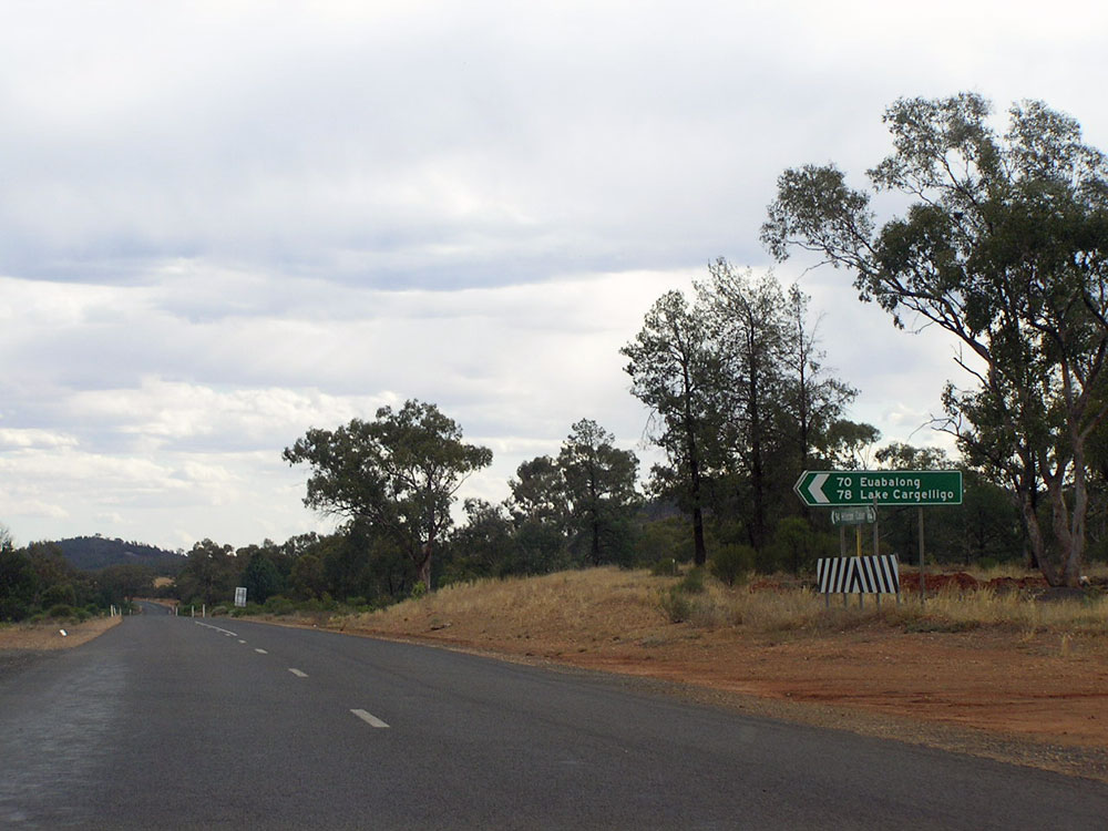  |
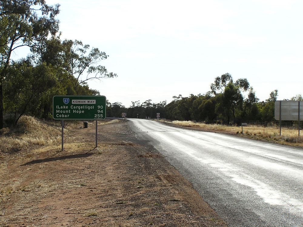
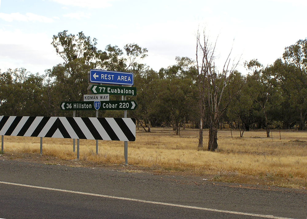
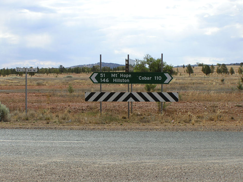
Fingerboard signs at the junction with Main Road No. 411 (Mt Hope - Euabalong), Mt Hope. Photo taken: December 2006. |
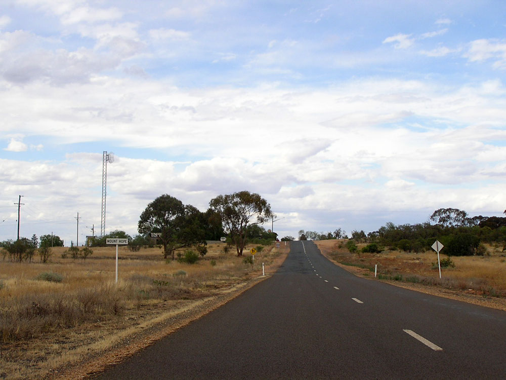 |
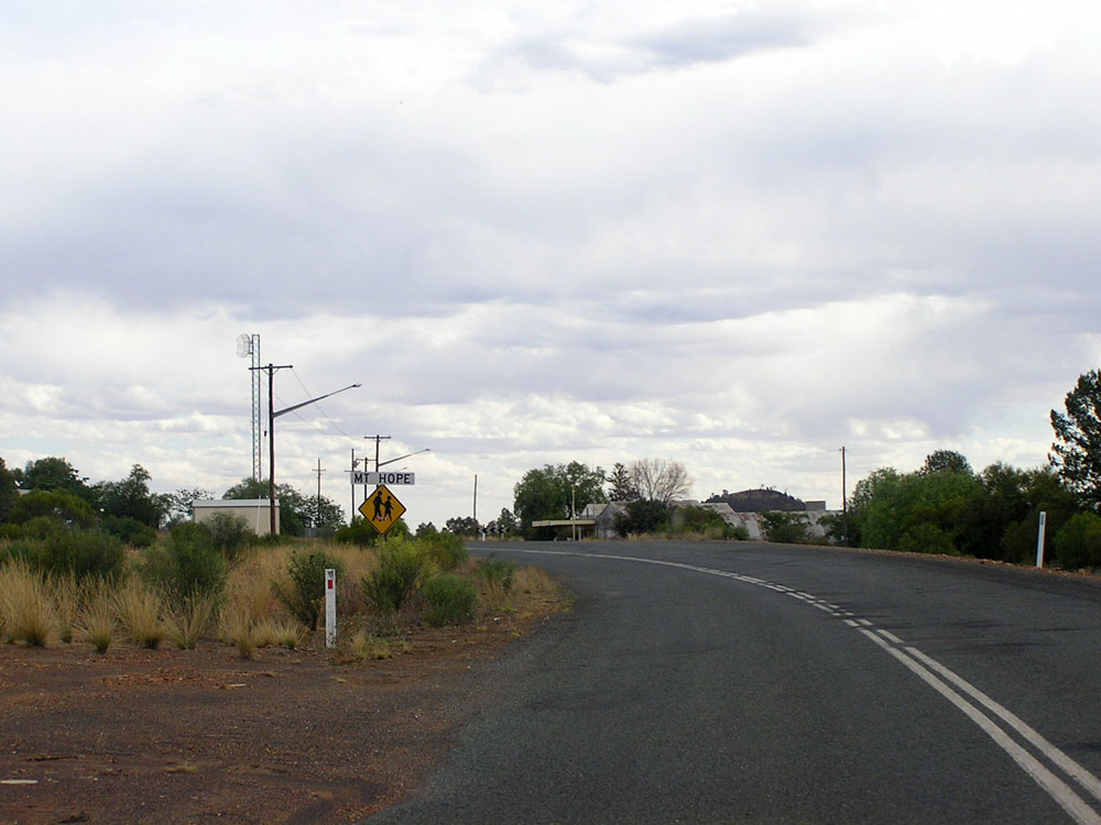
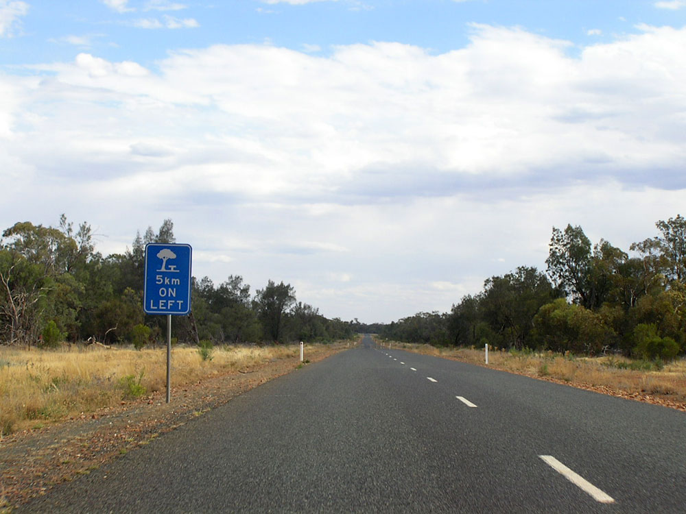
Kidman Way looking north into the locality of Mt Hope. Mt Hope was once a bustling mining town with a population over 500; nowadays it consists only of the Royal Hotel, a general store and a few houses. No fuel is available. Photo taken: December 2006. |
 |
Kidman Way looking south to the Royal Hotel at Mt Hope. Photo taken: December 2006. |
 |
Kidman Way looking south into the locality of Mt Hope, 94km north of Hillston. Photo taken: December 2006. |
 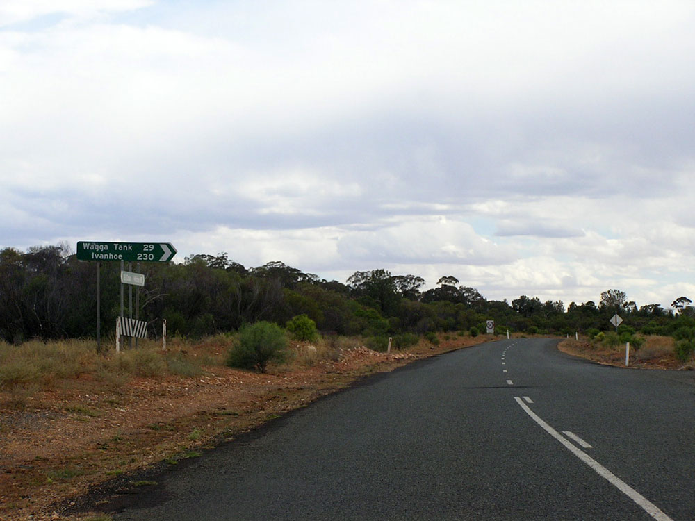 |
Fingerboard signs at the junction of Kidman Way & the Wagga Tank - Mt Hope road, Mt Hope. Photo taken: December 2006. |
 |
Kidman Way looking south, 124km north of Hillston, with double peak in the distance. Photo taken: December 2006. |
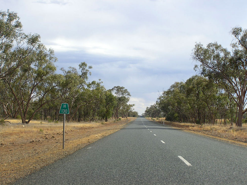 |
Kidman Way looking south, 130km north of Hillston. Photo taken: December 2006. |
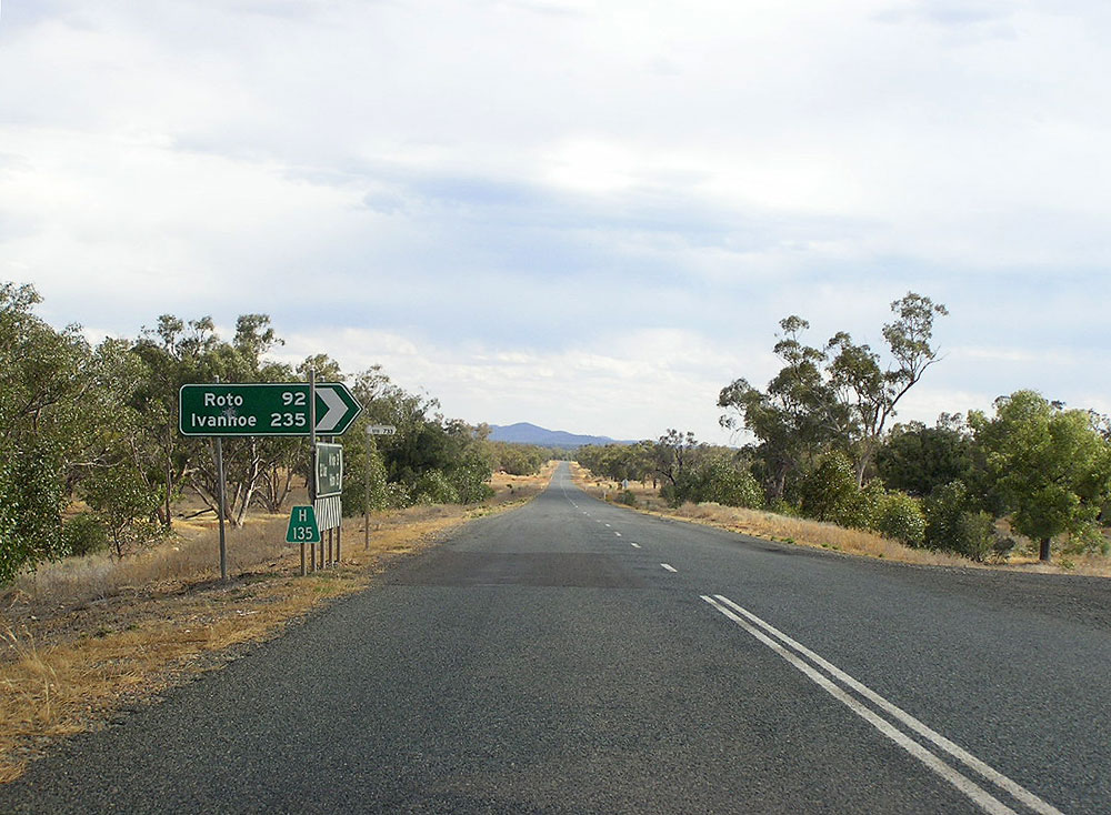 |
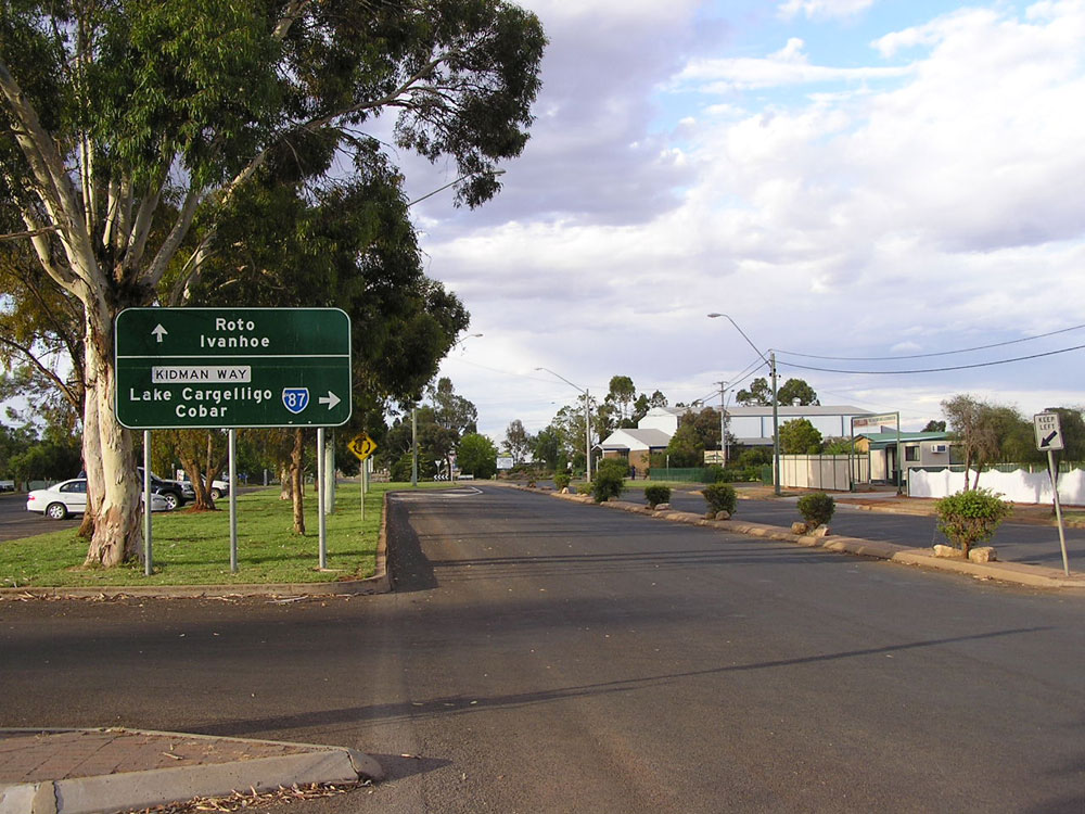
Kidman Way looking south at the junction with Roto Road, 135km north of Hillston. Photo taken: December 2006. |
  |
Fingerboard signs at the junction of Kidman Way & the Tara-Tallebung road, Gilgunnia, 146km north of Hillston. Photo taken: December 2006. |
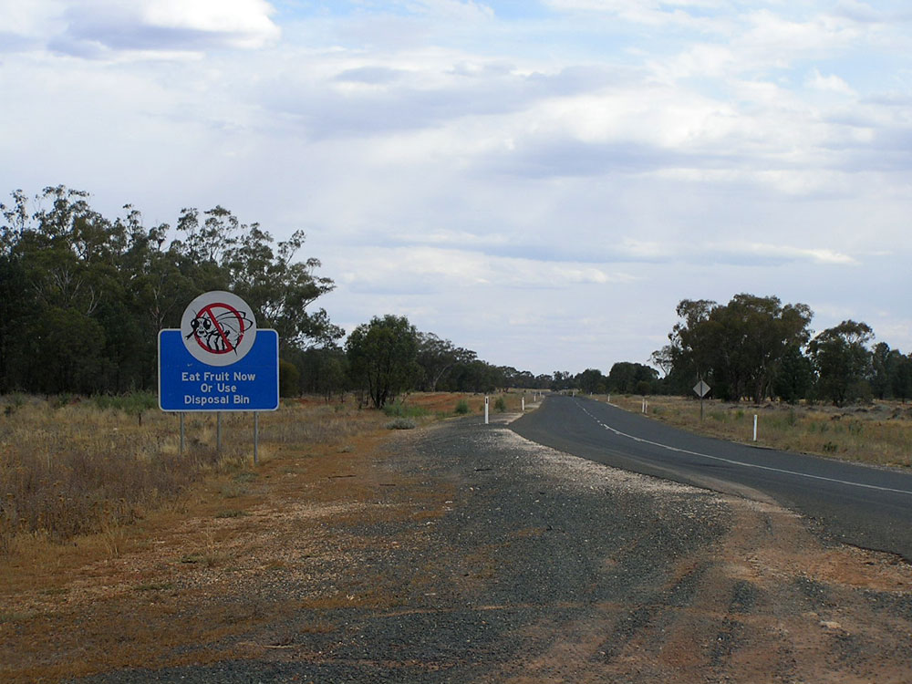 |
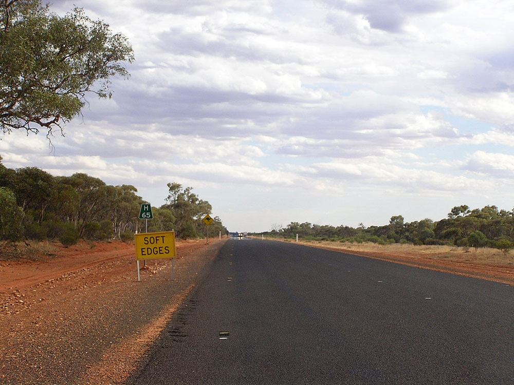
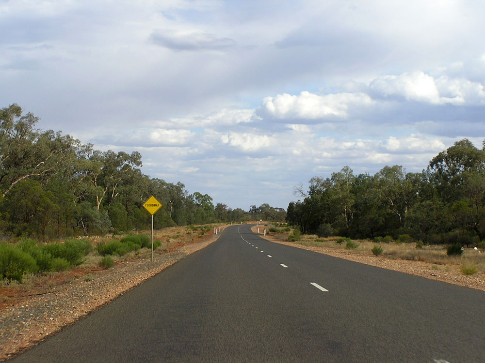
Fruit fly warning sign southbound on Kidman Way at Gilgunnia. Fruit is not to be taken into the Murrumbidgee Irrigation Area beyond Hillston so motorists are given fair warning to eat or dispose of their fruit before reaching the M.I.A. Photo taken: December 2006. |
 |
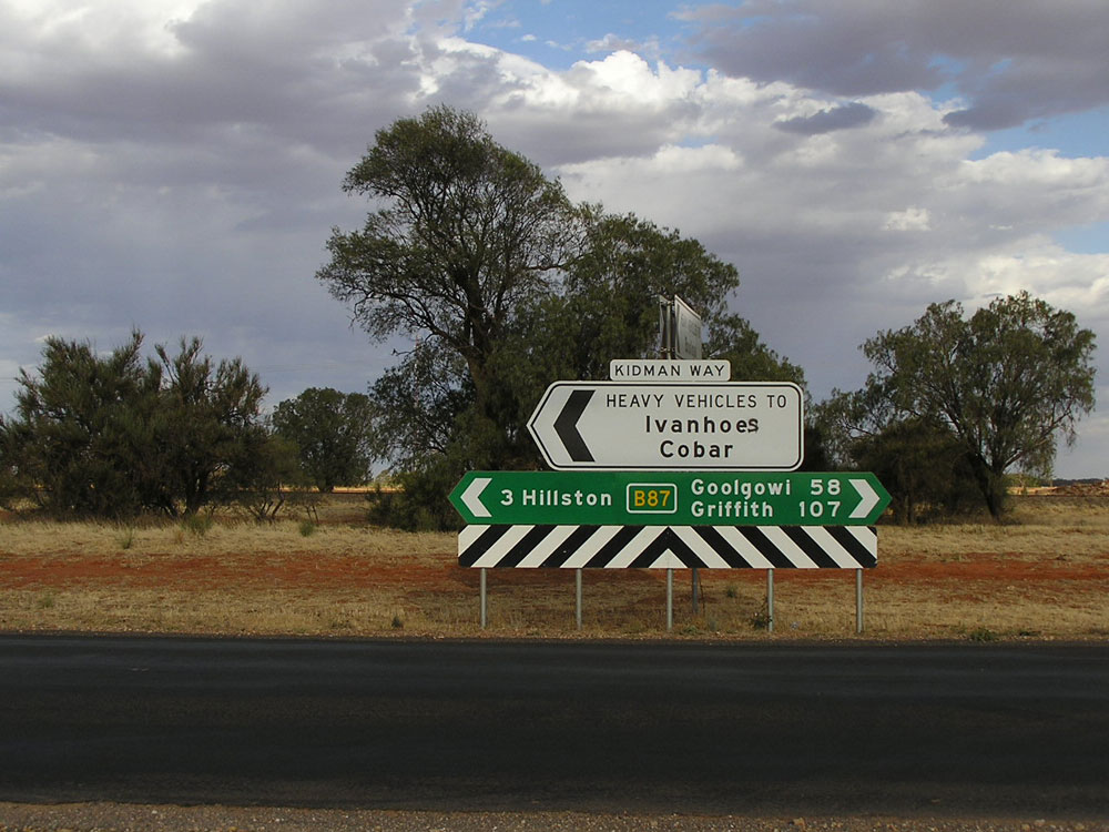
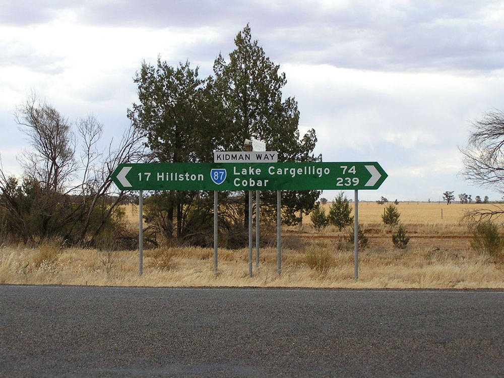
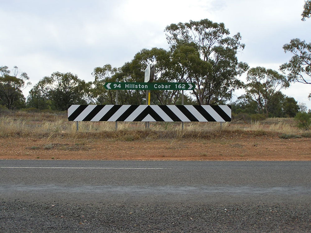
Fingerboard sign assembly at the junction of Kidman Way & Nymagee Road (Main Road No. 419) at Gilgunnia. Photo taken: December 2006. |
 |
Kidman Way looking south, 5km north of Gilgunnia and 151km north of Hillston. Photo taken: December 2006. |
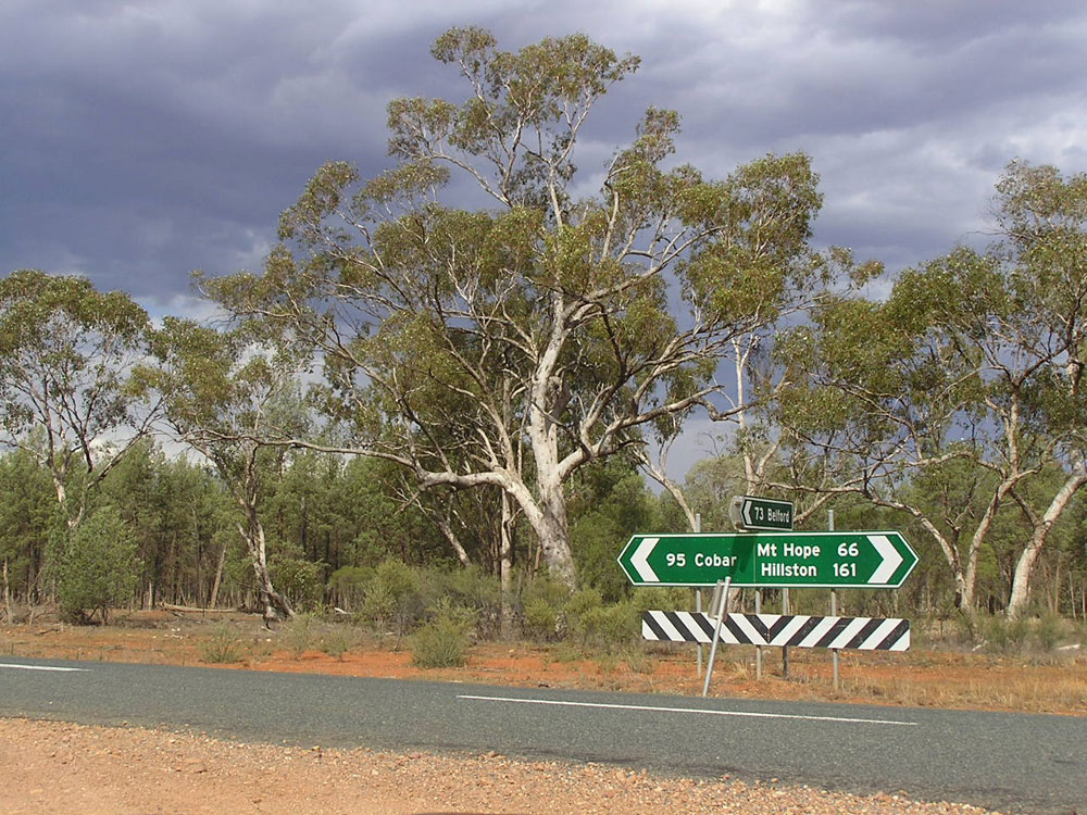 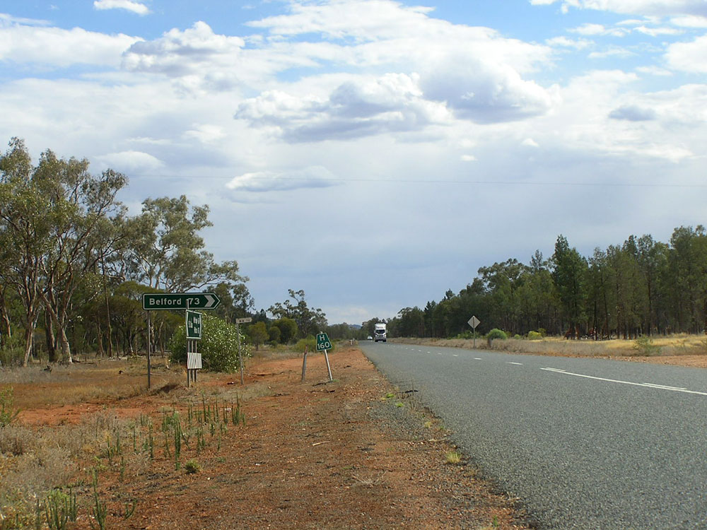 |
Dodgy fingerboard signs at the turnoff to Bedford, 161km north of Hillston. Note how the fingerboard and kilometre plate distances do not match. Photo taken: December 2006. |
  |
Fingerboard signs complete with bullet holes at the turnoff to Nymagee on the southern bank of Sandy Creek, 169km north of Hillston. Photo taken: December 2006. |
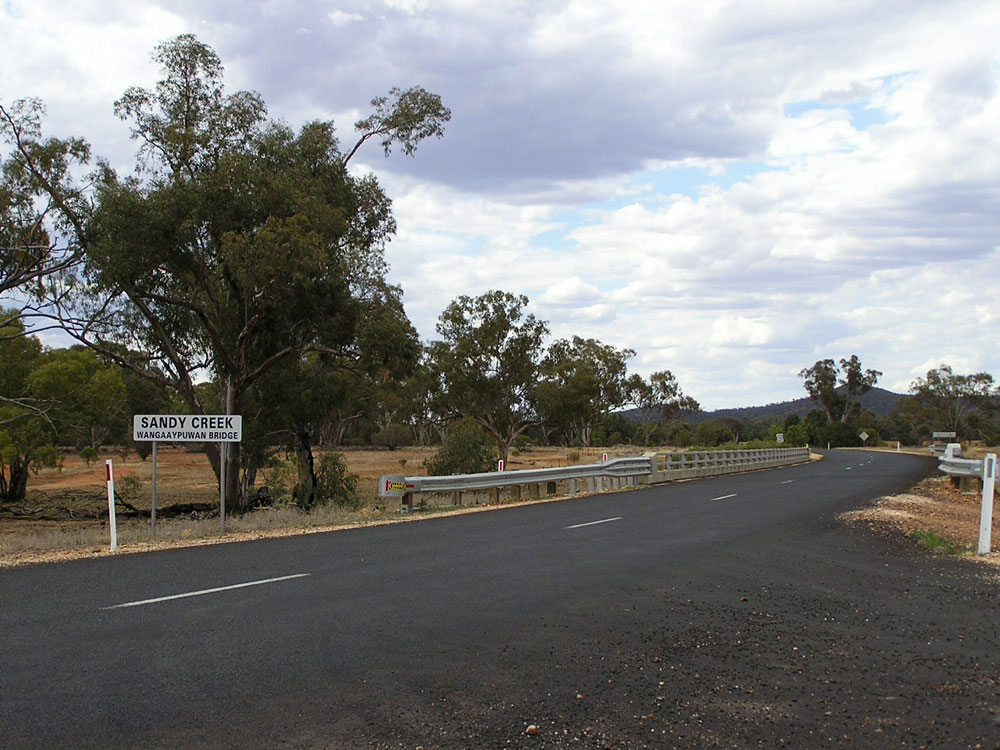 |
Kidman Way looking north across Wangaaypuwan Bridge over Sandy Creek, 169km north of Hillston. Photo taken: December 2006. |
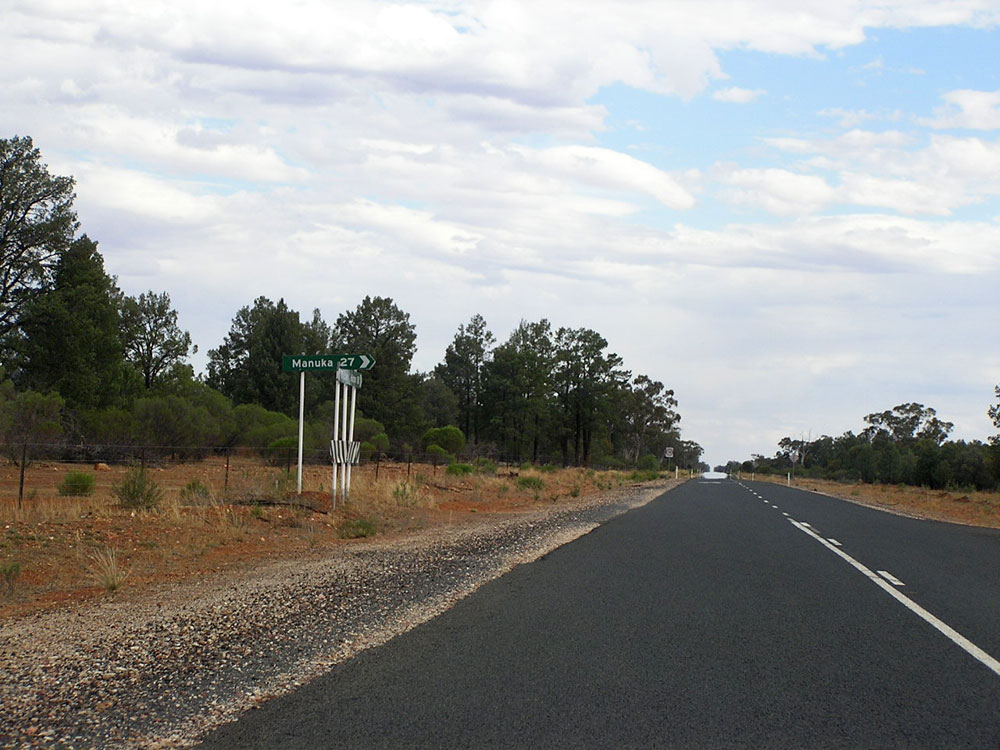 |
Kidman Way looking south at the junction with Manuka-Yarranvale Road, 181km north of Hillston. Photo taken: December 2006. |
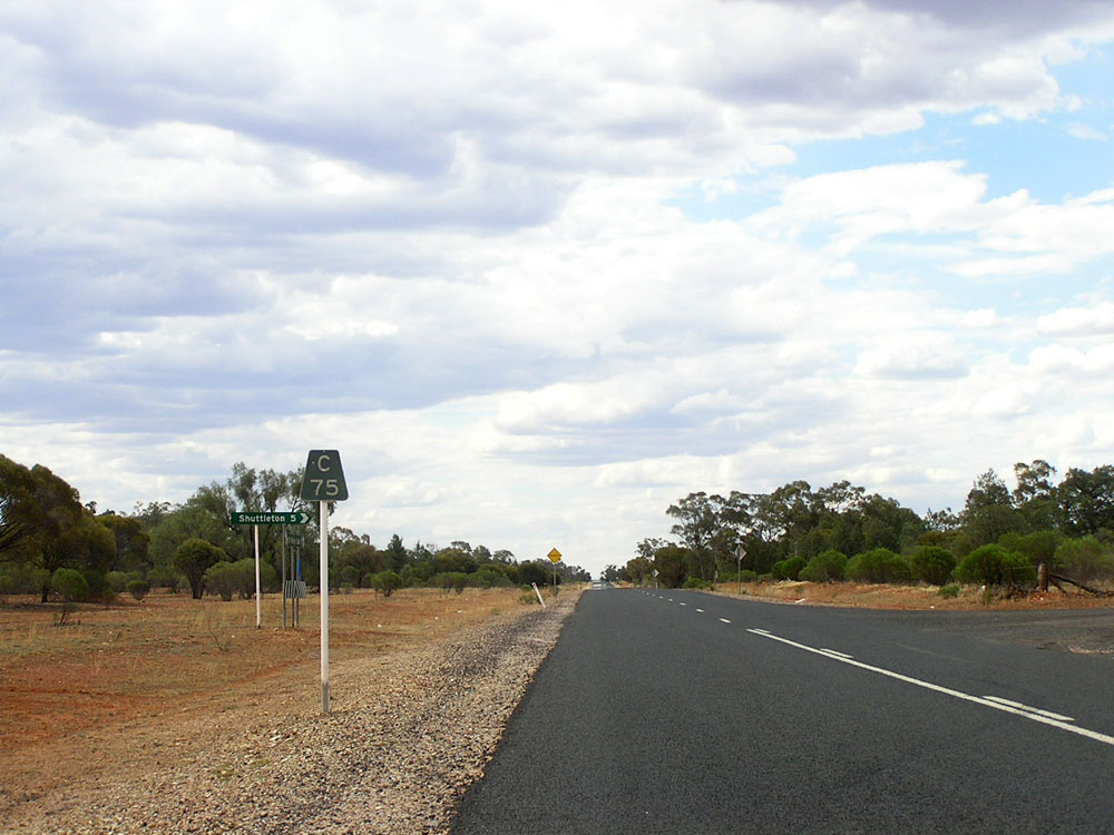 |
Kidman Way looking north at the turnoff to Shuttleton, 75km south of Cobar/181km north of Hillston. Photo taken: December 2006. |
 |
New fingerboard sign with a SR87 coverplate covering a B87 route marker at the junction with former Trunk Road No. 61, 66km south of Cobar. Trunk Road No. 61 originally extended from Orange to Cobar, via Parkes, Condobolin and Nymagee, however the Condobolin-Cobar section was reclassified as Main Road No. 461 as a result of a recent review of the classified road network. Photo taken: December 2006. |
 |
Kidman Way looking south at the junction of Kidman Way & Main Road No. 461 (Priory Tank - Nymagee - Condobolin), 66km south of Cobar. Photo taken: December 2006. |
 |
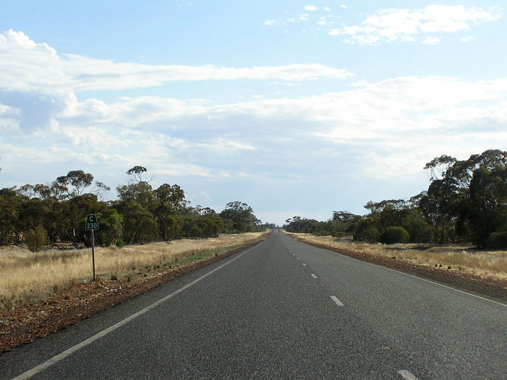
Kidman Way looking south approximately 35km south of Cobar, showing recent pavement widening. Photo taken: December 2006. |
 |
Typical view of older pavement on Kidman Way, looking south 20km south of Cobar. Note the repairs to the edge of seal to prolong its life. Photo taken: December 2006. |
 |
Kidman Way looking south on the southern outskirts of Cobar, approaching the turnoff to Peak Gold Mines. Photo taken: December 2006. |
 |
Kidman Way looking south towards the beginning of the 100km/h speed zone on the southern outskirts of Cobar. This section of the route is quite busy, carrying traffic related to the mines at Cobar. Photo taken: December 2006. |
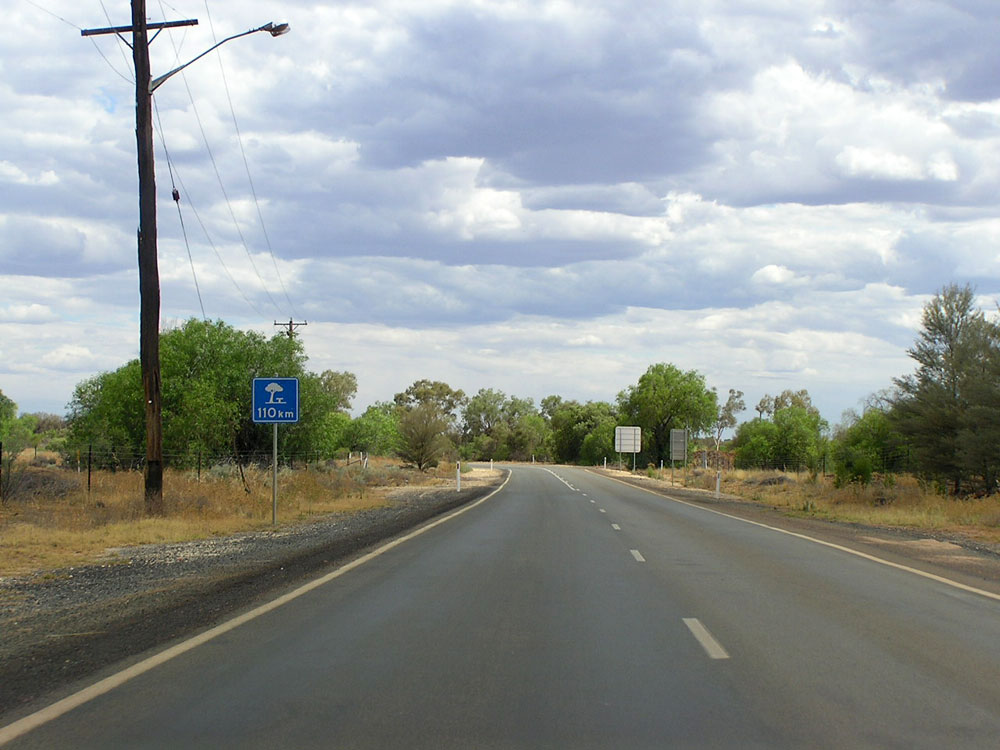 |
Next tree 110km? - heading south of Kidman Way near the junction with Barrier Highway at Cobar. Photo taken: December 2006. |
 |
Very dodgy RD sign southbound on Kidman Way near the junction with Barrier Highway at Cobar. Photo taken: December 2006. |
 |
Service sign warning motorists that no fuel is available on Kidman Way until Hillston, southbound on Kidman Way near the junction with Barrier Highway at Cobar. Photo taken: December 2006. |
 |
Barrier Highway looking east at the eastern junction with Kidman Way, Cobar. Note the absence of any reference to Kidman Way or SR87. The reference to Condobolin illustrates that prior to 2010, Trunk No. 61 connected Cobar with Condobolin. Photo taken: January 2005. |
 |
AD sign westbound on Barrier Highway approaching the eastern junction with Kidman Way, Cobar. This sign has not yet been updated to include SR87 (straight and left). Photo taken: December 2006. |
 |
ID sign facing northbound Kidman Way traffic at the junction with Barrier Highway, Cobar. SR87 should be shown for the left turn, however this sign pre-dates the extension of SR87 from Hillston to Bourke. Photo taken: December 2006. |
 |
Barrier Hwy AD sign for Kidman Way - this sign pre-dates both the name and route marker. Jan 2005. |
 |
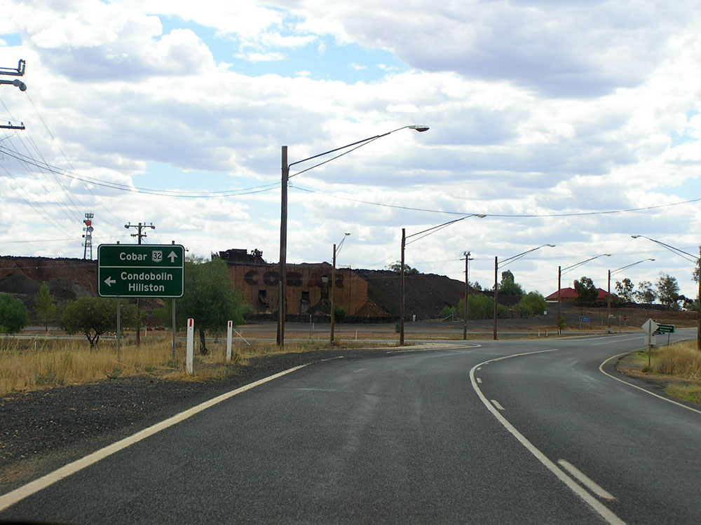
AD sign westbound on Barrier Highway (NR32/SR87) approaching the western junction with Kidman Way (Lewis Street) at Cobar. Again note the absence of SR87 signage, despite these signs dating from around the time of the change and including reference to Kidman Way. Photo taken: December 2006. |
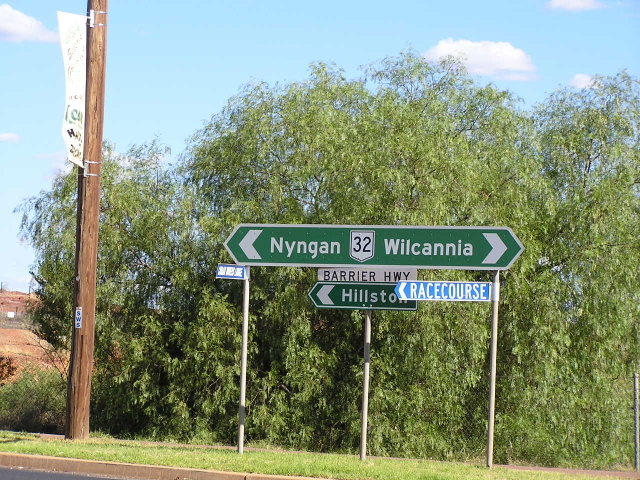 |
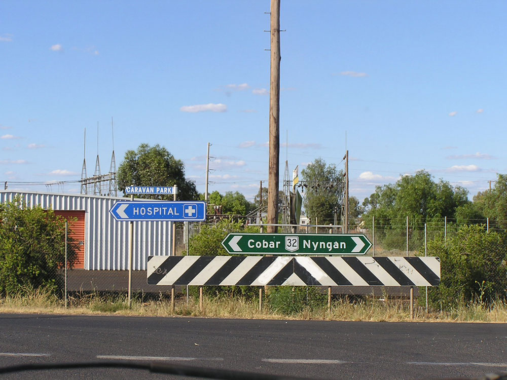
Barrier Hwy ID sign at the same intersection - note no mention of SR87 or Kidman Way. Jan 2005. |
 |
Ad sign eastbound on Barrier Highway approaching the western junction with Kidman Way (Lewis Street) at Cobar. Again note the absence of SR87. Photo taken: December 2006. |
 |
Heading south into Cobar on Kidman Way. Jan 2005. |
 |
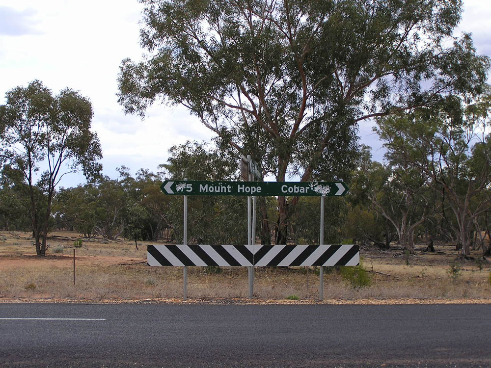
The only reassurance you get heading north from Cobar. Jan 2005. |
 |
Typical road quality heading south about 30km north of Cobar. Jan 2005. |
 |
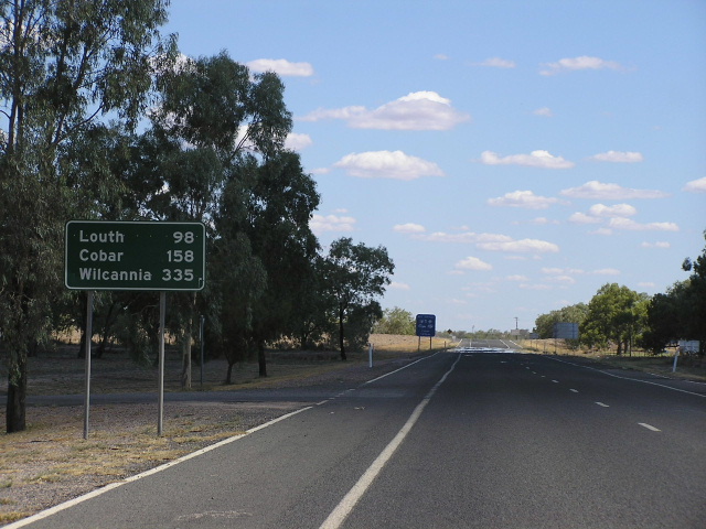
Fingerboard signage between Cobar and Bourke. Jan 2005. |
 |
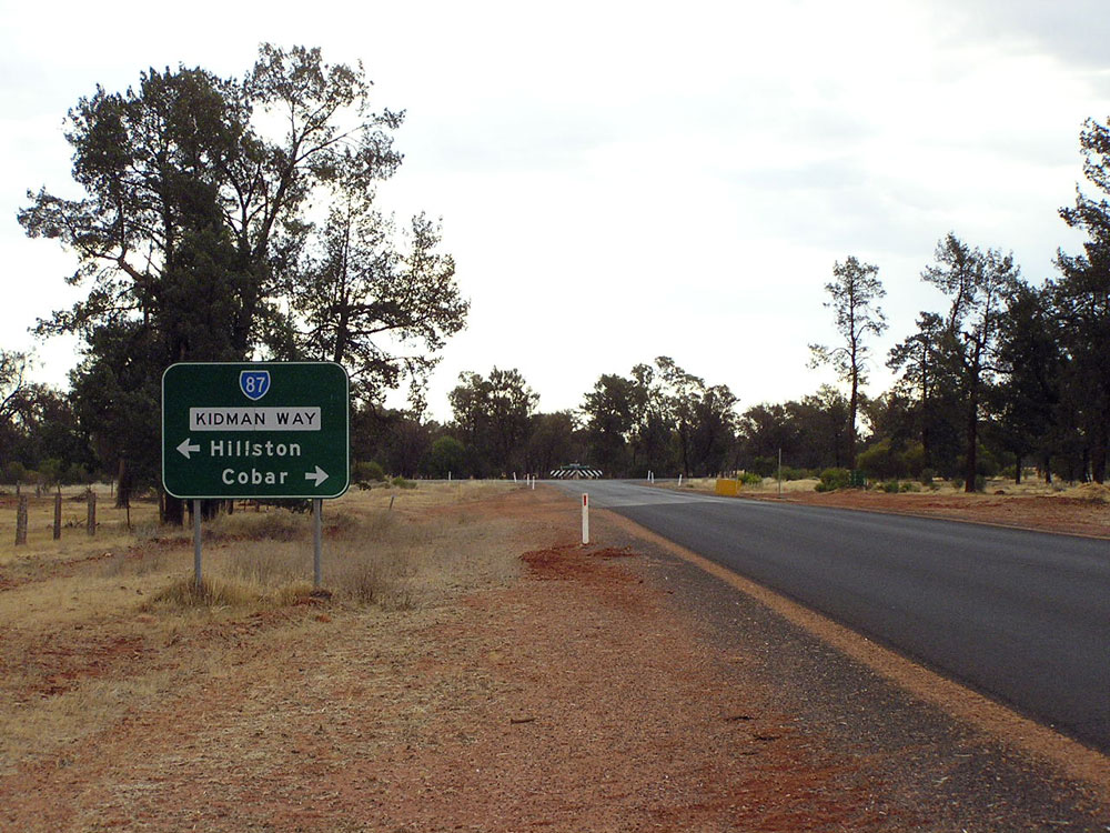
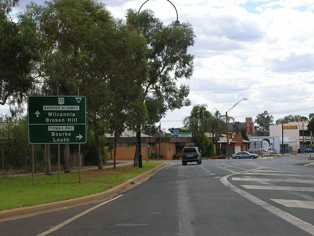
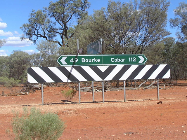
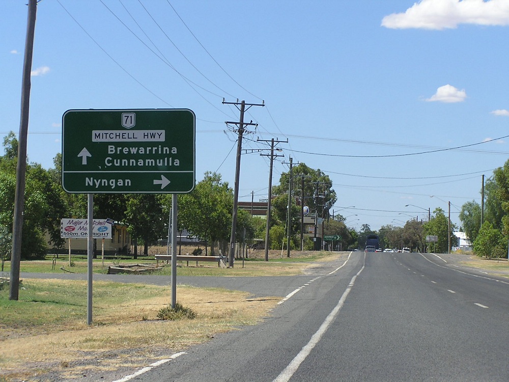
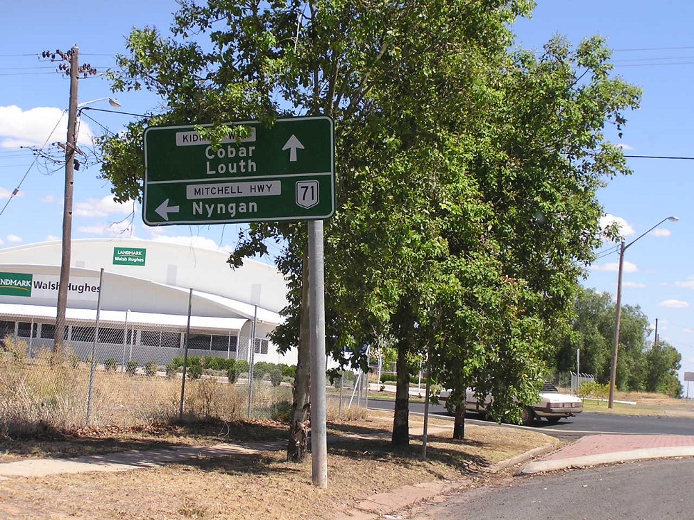
Heading south from the Mitchell Hwy at Bourke. Jan 2005. |
 |
Approaching the end of Kidman Way at Mitchell Hwy. Jan 2005. |
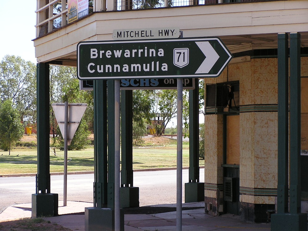 |
Beautiful old black painted AD sign on the Mitchell Hwy at the Kidman Way in Bourke. Jan 2005. |
 |
Mitchell Hwy southbound approaching the Kidman Way. Jan 2005. |
Last updated 11 December 2012 © Ozroads 2003-2012. |