NSW State Route 85 Goldfields Way |

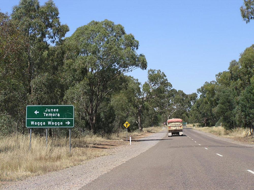
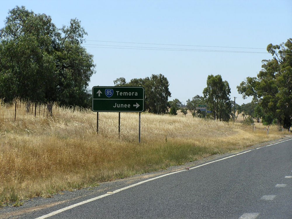
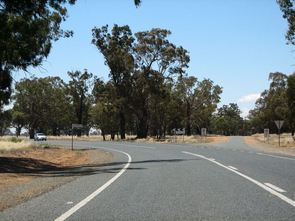
Goldfields Way looking north near the junction with Old Junee Rd at Old Junee. Note the spelling mistake! Photo taken: December 2008.
In 2013, RMS will be implementing a new alpha-numeric route numbering system. For more information, visit the RMS Website. |
|
Forthcoming alpha-numeric route number: |
|
Length: 116km
Northern Terminus: Newell Highway & Goldfields Way, Wyalong
Southern Terminus: Olympic Highway & Goldfields Way, 8km west of Junee
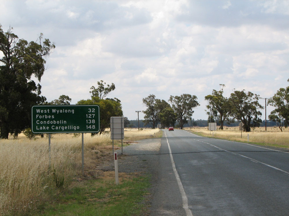
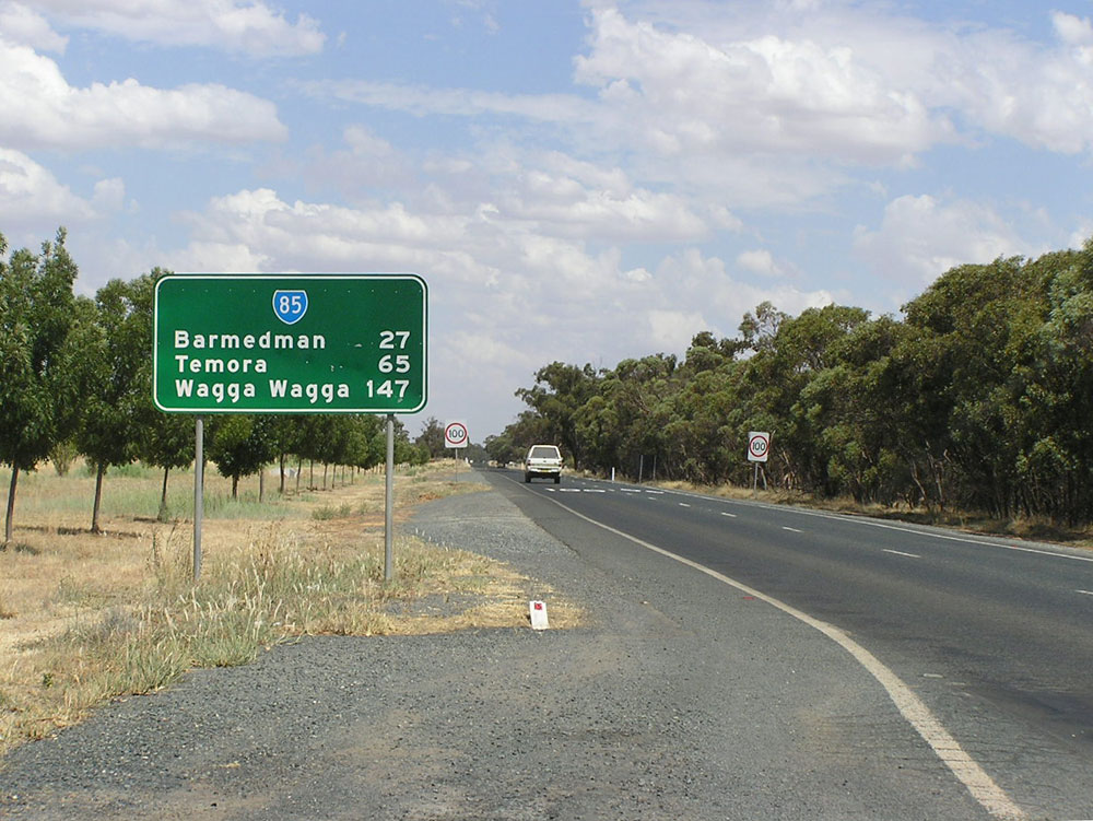
Route taken: From the Olympic Highway, 8km west of Junee, via Old Junee, Temora and Barmedman to the Newell Highway at Wyalong
Focal Points: Wagga Wagga, Temora, West Wyalong
Roads Act 1993 classification: Main Road No. 57
State Route 85 is north-south route in mid-southwestern New South Wales, linking the Olympic Highway, Burley Griffin Way and the Newell Highway. Its main purpose is to serve Temora, a large rail centre for the rich wheathlands of the Riverina, and it also provides a useful link between Albury/Wagga Wagga and the Newell Highway. Whilst fairly innocuous, NSW's rural road network would be much poorer without its services. Traffic volumes are steady along the length of the route, hovering between 1500 and 2000 vehicles per day.
State Route 85 was introduced with the rest of the NSW state routes in 1974. There have been no changes to this route since its inception.
State Route 85 follows Main Road No. 57, which was one of the original Trunk Roads declared by the Main Roads Board in August 1928. (Trunk Roads were abolished by the enactment of the State Roads Act 1986 and included in the ordinary Main Roads classification). Trunk Road 57 originally extended south via Wagga Wagga and Culcairn to the Hume Highway north of Albury (along the route of today's Olympic Highway) but was truncated at its current southern terminus on 5 July 1963.
Photos of State Route 85 |
|
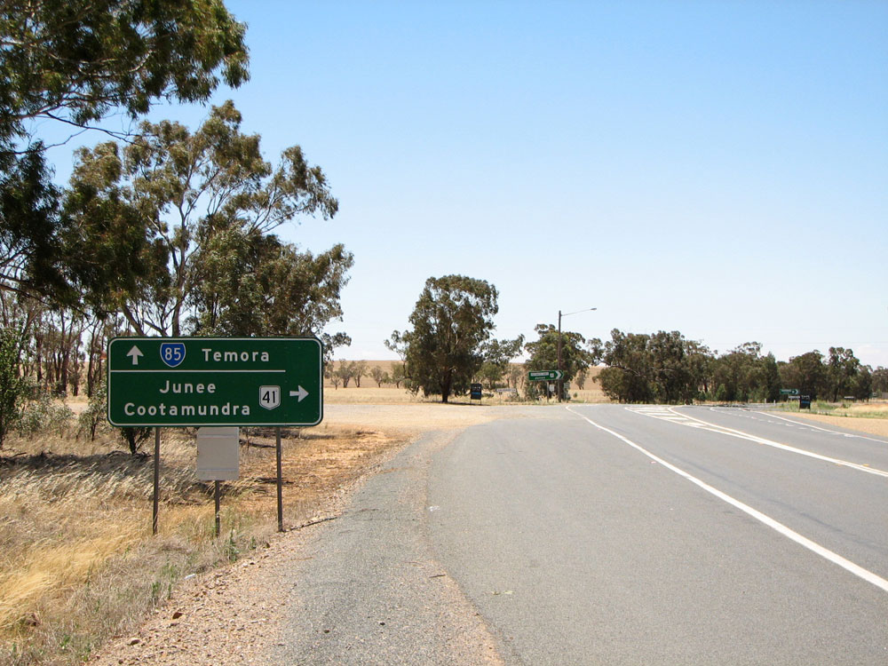 |
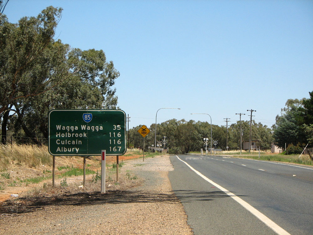
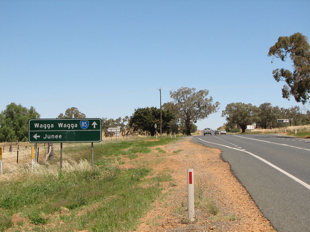
AD sign northbound on Olympic Highway approaching the junction with Goldfields Way, 8km west of Junee. Olympic Highway (NR41) turns right here. Photo taken: December 2008. |
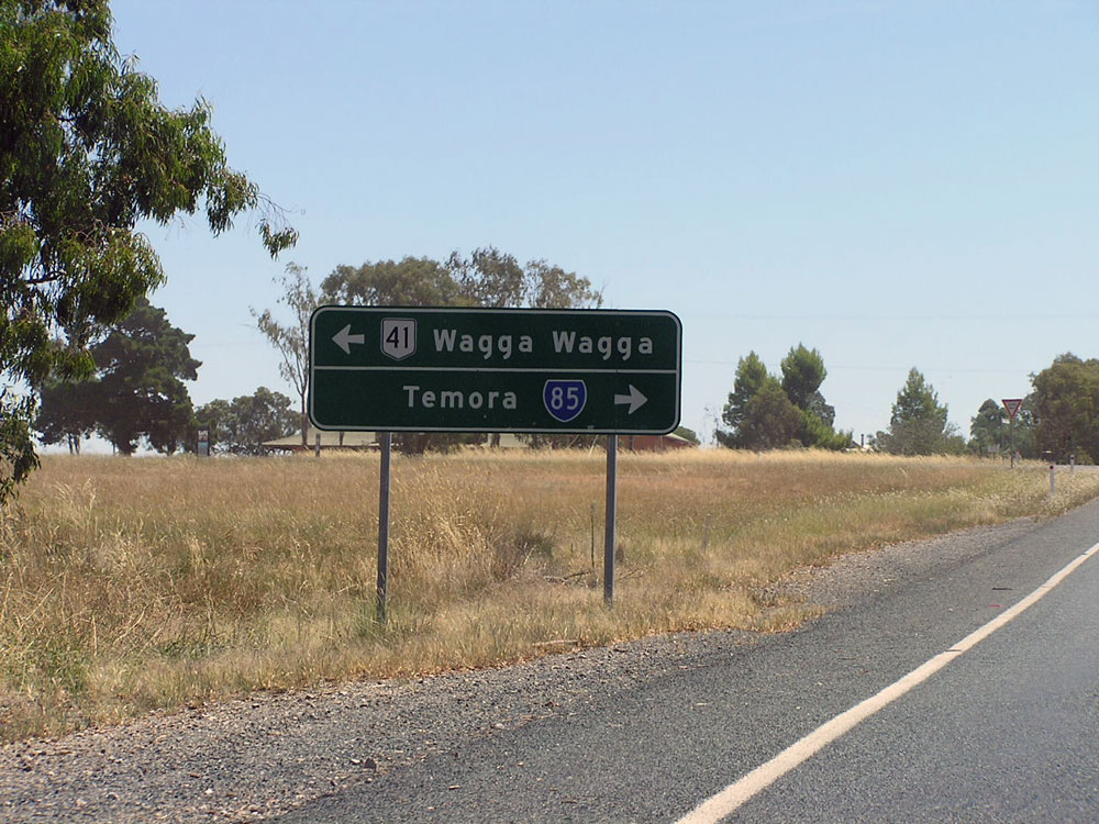 |
AD sign westbound on Olympic Highway approaching the junction with Goldfields Way, 8km west of Junee. Photo taken: February 2006. |
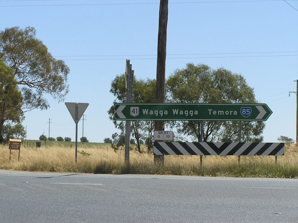 |
ID sign facing westbound traffic at the intersection of Olympic Highway & Goldfields Way, 8km west of Junee. Photo taken: February 2006. |
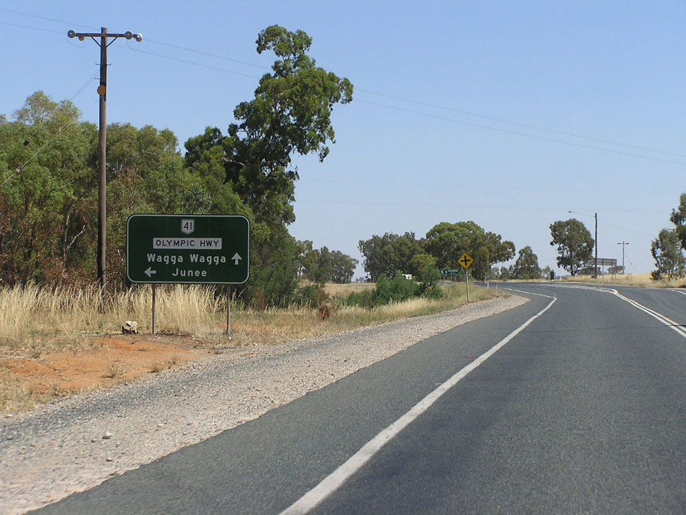 |
AD sign southbound on Goldfields Way approaching the junction with Olympic Highway, 8km west of Junee. Photo taken: February 2006. |
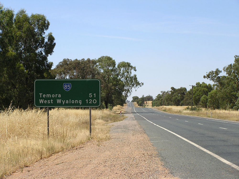 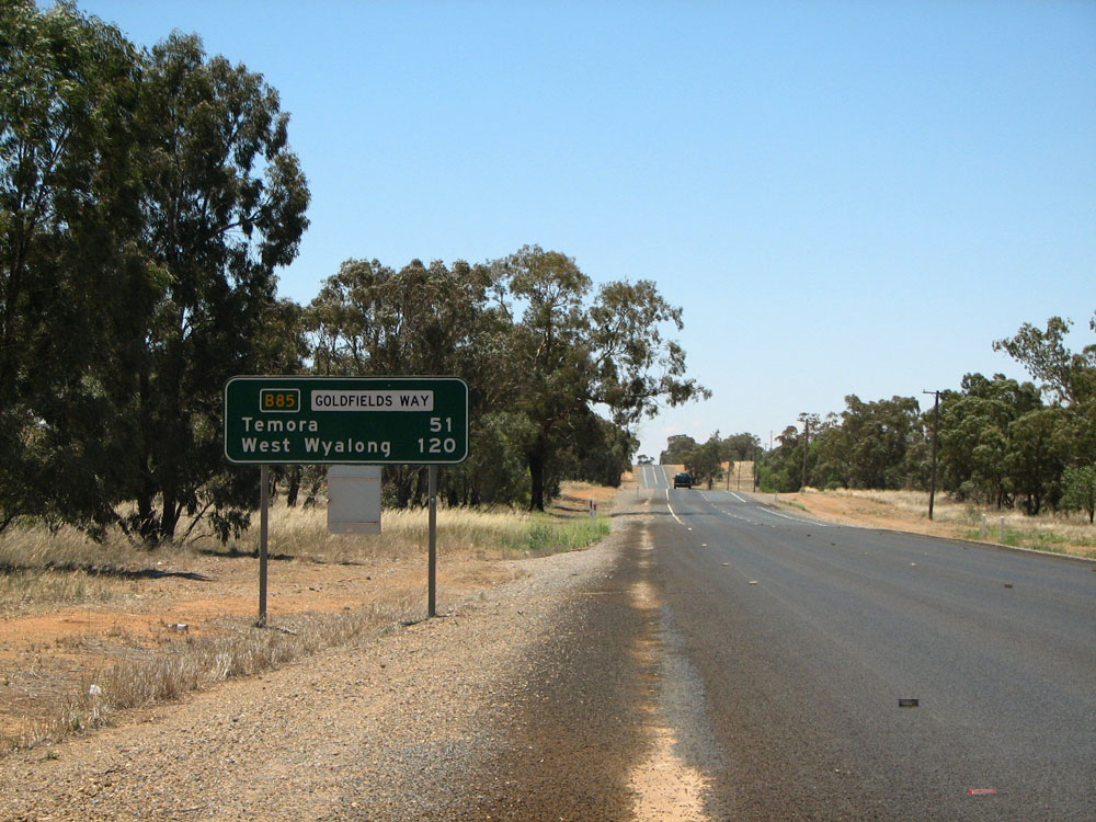 |
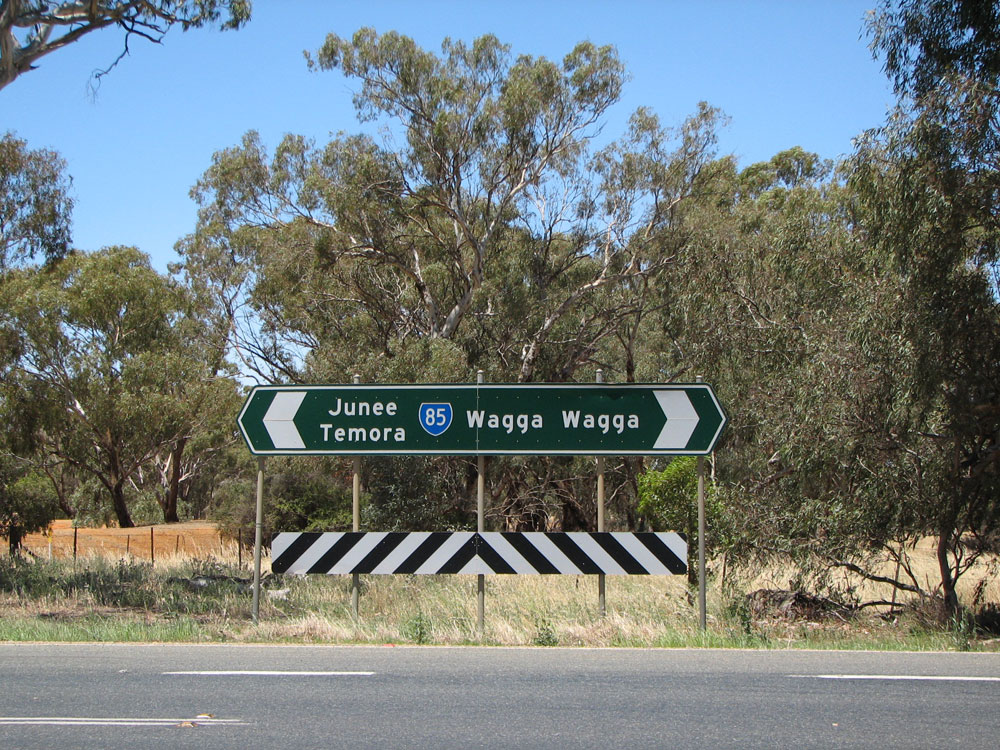
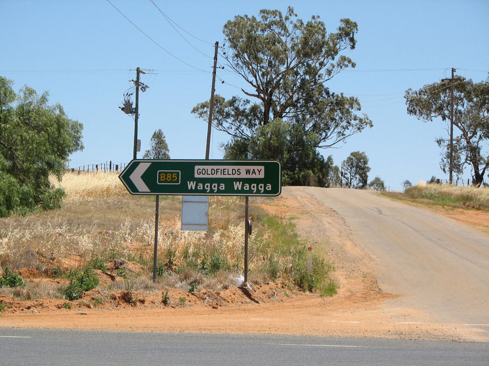
Old and new RD signs northbound on Goldfields Way near the junction with Olympic Highway. Note the older non-standard sign with the wrong font for the numbers has been replaced by a well-designed sign showing the future B85 route marker. Top photo: February 2006. Bottom photo: December 2008. |
 |
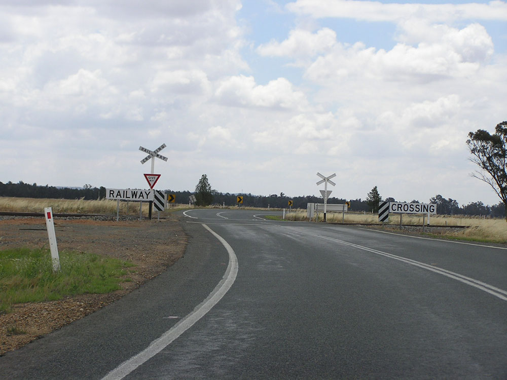
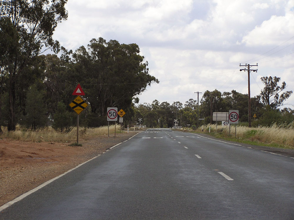
RD sign southbound on Goldfields Way at Old Junee. Note the level crossing of the Junee - Hillston railway line in the background. Photo taken: December 2008. |
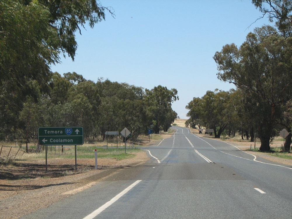 |
AD sign northbound on Goldfields Way approaching the junction with the Old Junee - Coolamon road (Main Road No. 243) at Old Junee. Photo taken: December 2008. |
 |
Non-standard AD sign, missing the State Route 85 route markers, eastbound on Main Road No. 243 approaching Goldfields Way at Old Junee. Photo taken: February 2006. |
 |
Poorly-designed ID sgin facing eastbound traffic at the intersection of Goldfields Way & Main Road No. 243, Old Junee. At least it has included Junee as a focal point. Photo taken: December 2008. |
 |
AD sign southbound on Goldfields Way approaching the junction with Main Road No. 243 at Old Junee. Photo taken: December 2008. |
 |
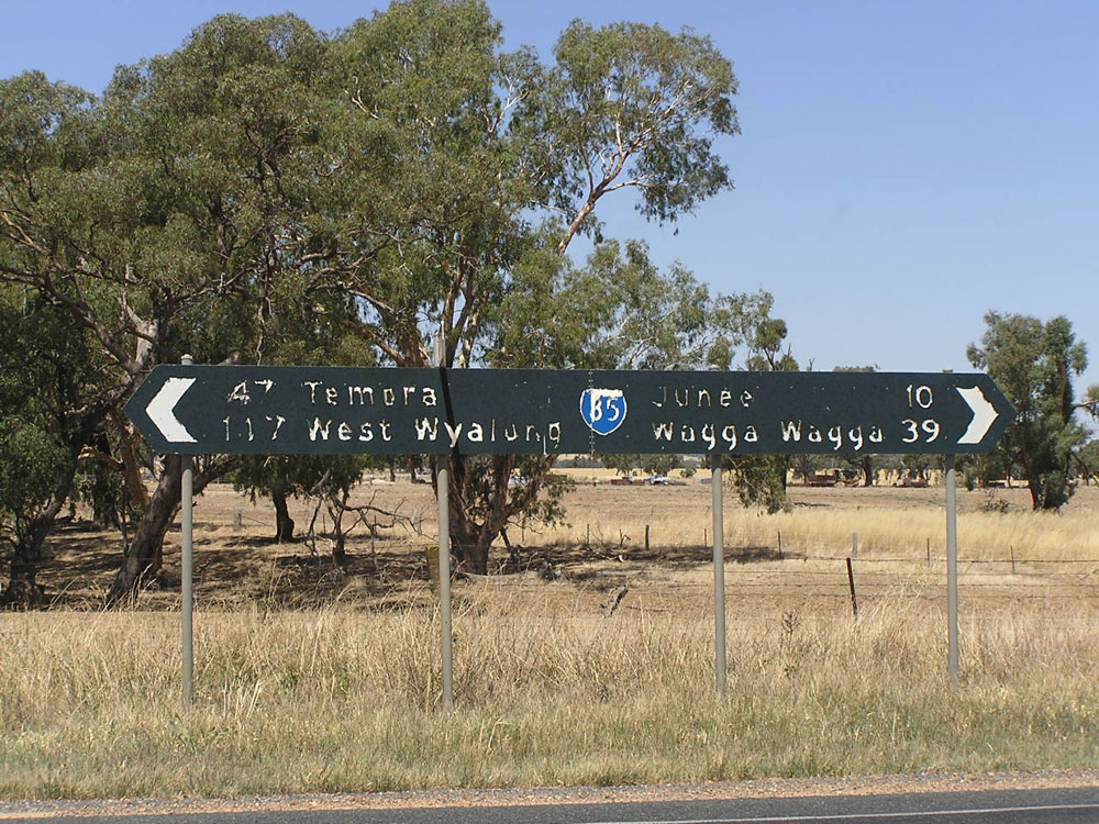
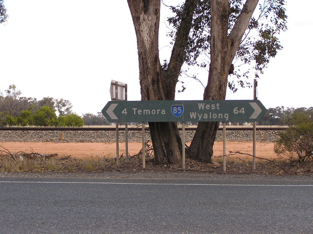
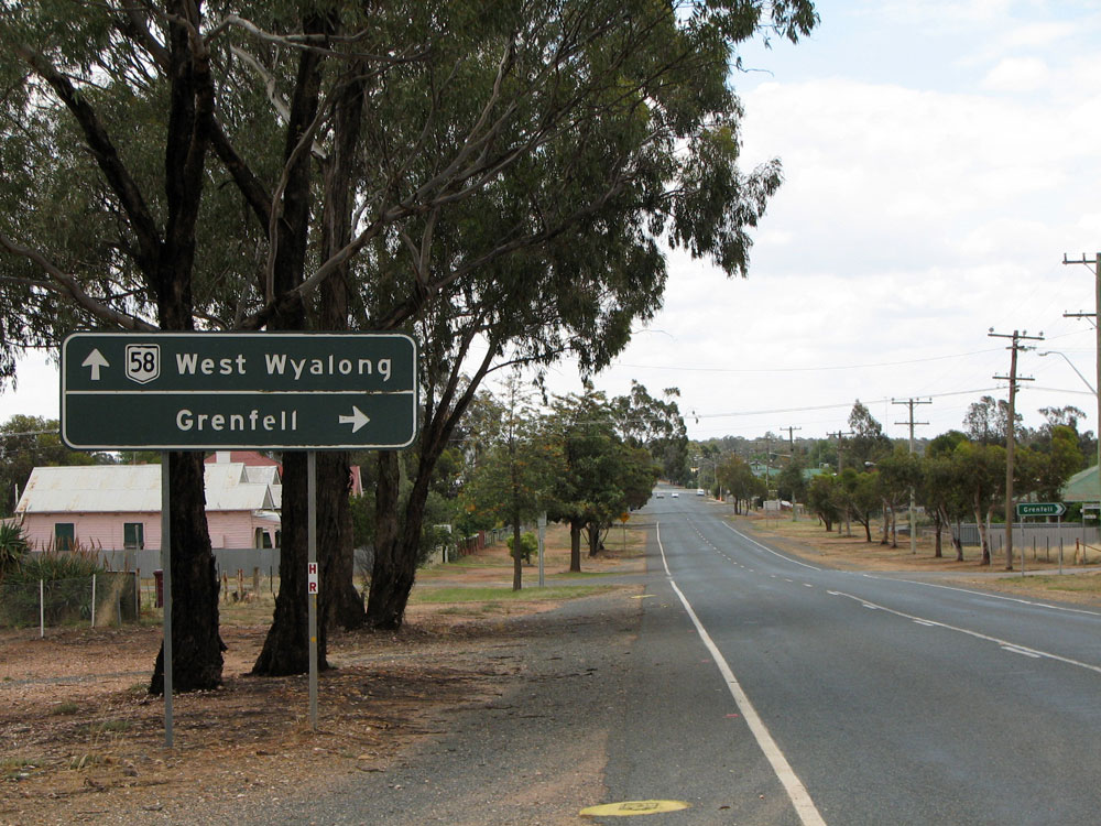
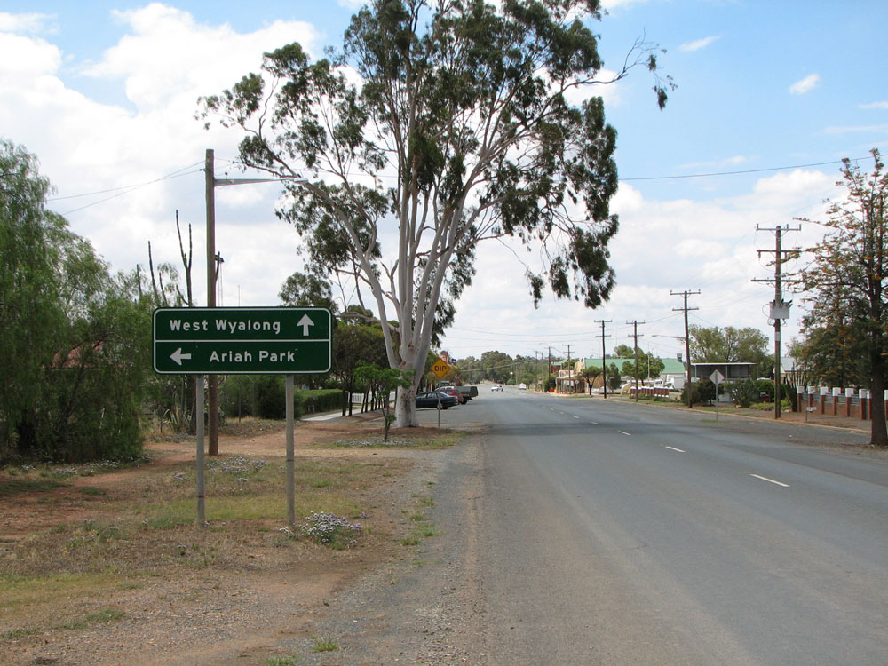
RD sign northbound on Goldfields Way near the junction with Main Road No. 243 at Old June. This sign has been reasonably well designed but omits reference to West Wyalong, which appeared on the previous RD sign. Facepalm! Photo taken: December 2008. |
 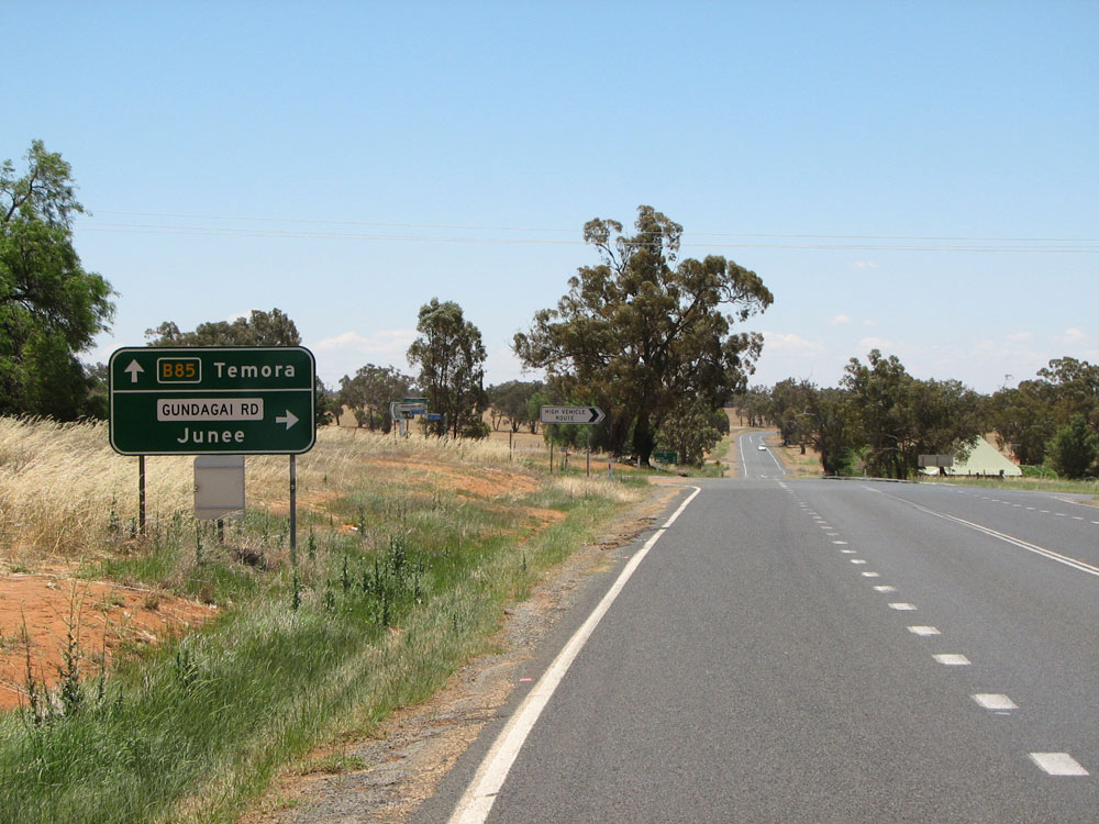 |
Old and new AD signs northbound on Goldfields Way approaching the junction with Gundagai Road (Main Road No. 243), north of Old Junee. Top photo: February 2006. Bottom photo: December 2008. |
 |
Non-standard AD sign westbound on Gundagai Road approaching the junction with Goldfields Way, north of Old Junee. Source: February 2006. |
  |
Old and new ID signs facing westbound traffic at the intersection of Goldfields Way & Gundagai Rd, north of Old Junee. Note the old sign did not include the route marker. However, the RTA has fixed that error with the new sign, but then omitted reference to Coolamon! Top photo: February 2006. Bottom photo: December 2008. |
  |
Old and new ID signs facing westbound traffic at the intersection of Goldfields Way & Gundagai Rd, north of Old Junee. The new sign is a big improvement on the old sign. Top photo: February 2006. Bottom photo: December 2008. |
 |
Non-standard AD sign southbound on Goldfields Way approaching the junction with Gundagai Rd, north of Old Junee. Photo taken: December 2008. |
 |
RD sign northbound on Goldfields Way near the junction with Gundagai Rd, north of Old Junee. Note the spelling mistake! The junction with Pikedale Rd can be seen in the middle ground. Photo taken: December 2008. |
 |
Deteriorating fingerboard sign, that has since been removed but not replaced, at the intersection of Goldfields Way & Pikedale Road, 2km north of Old Junee. Photo taken: December 2008. |
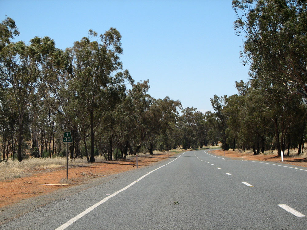 |
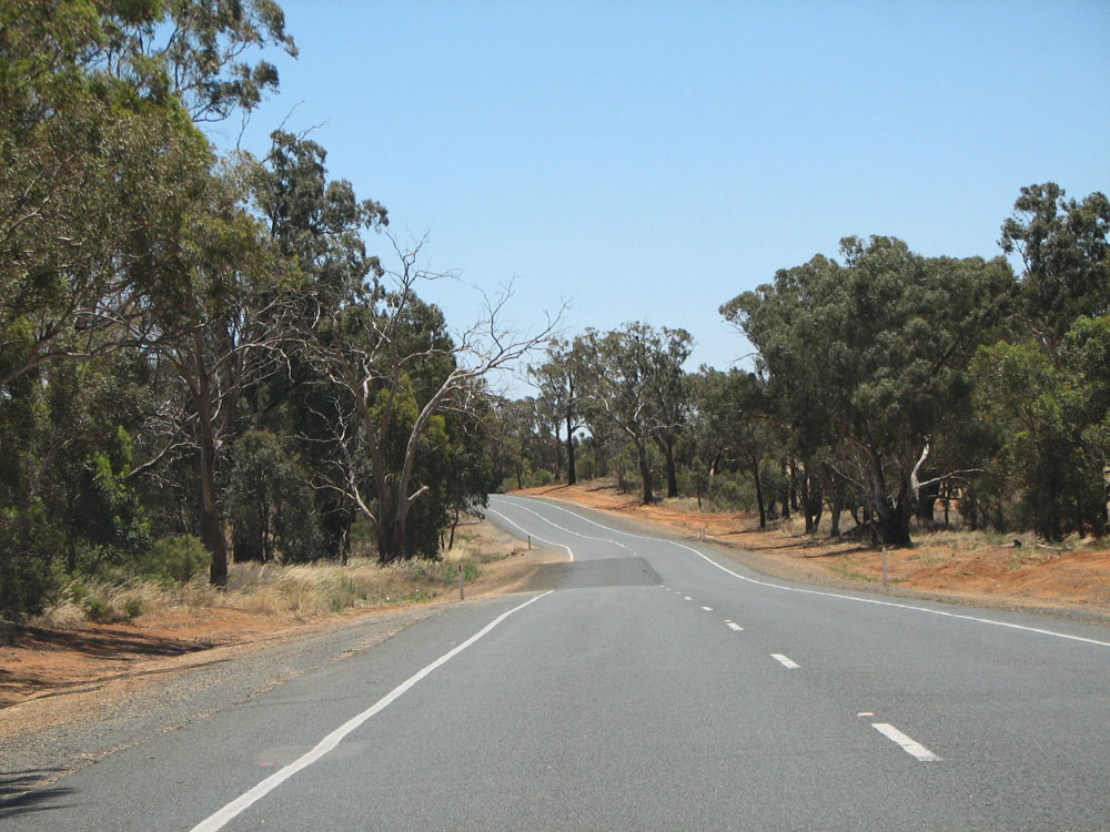
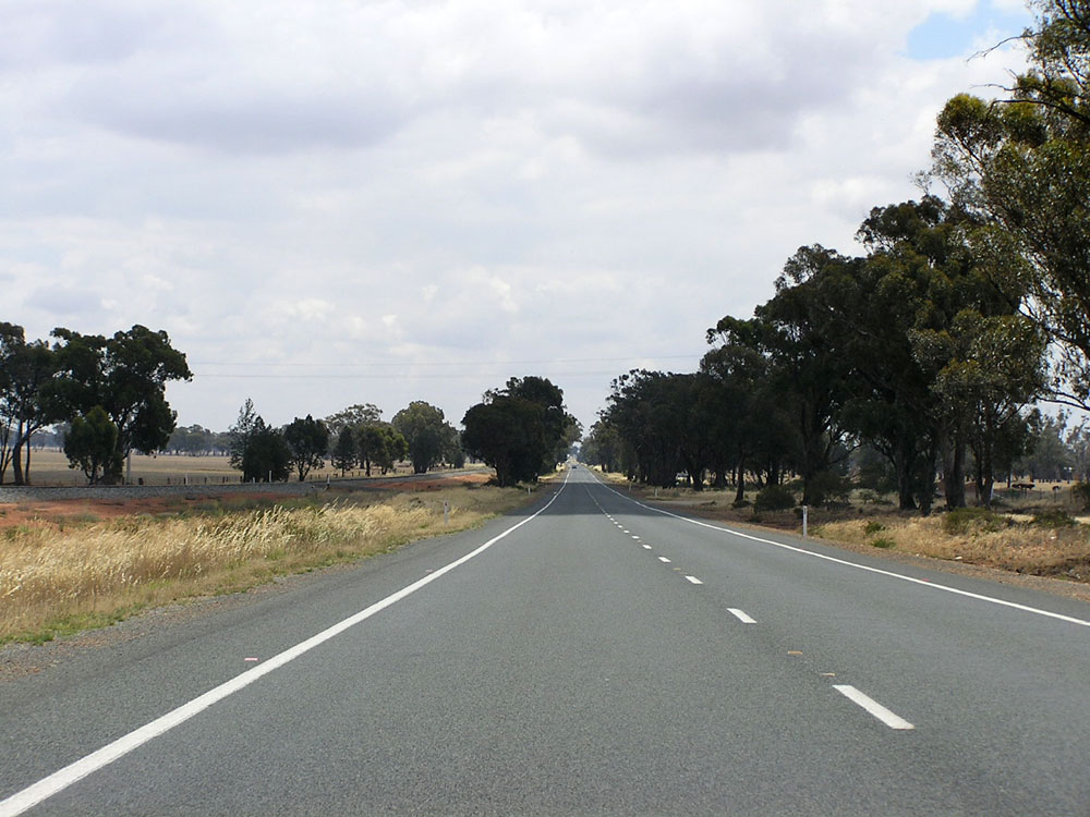
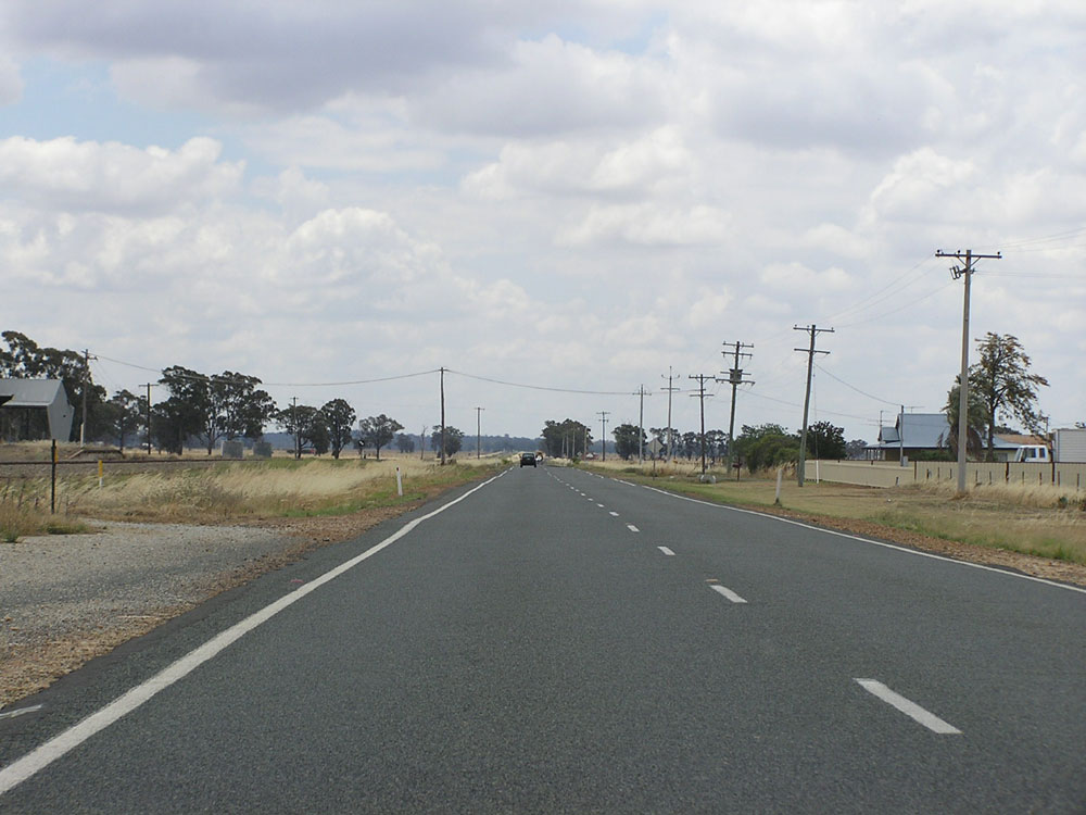
Typical view of Goldfields Way, looking north 35km south of Temora. Photo taken: December 2008. |
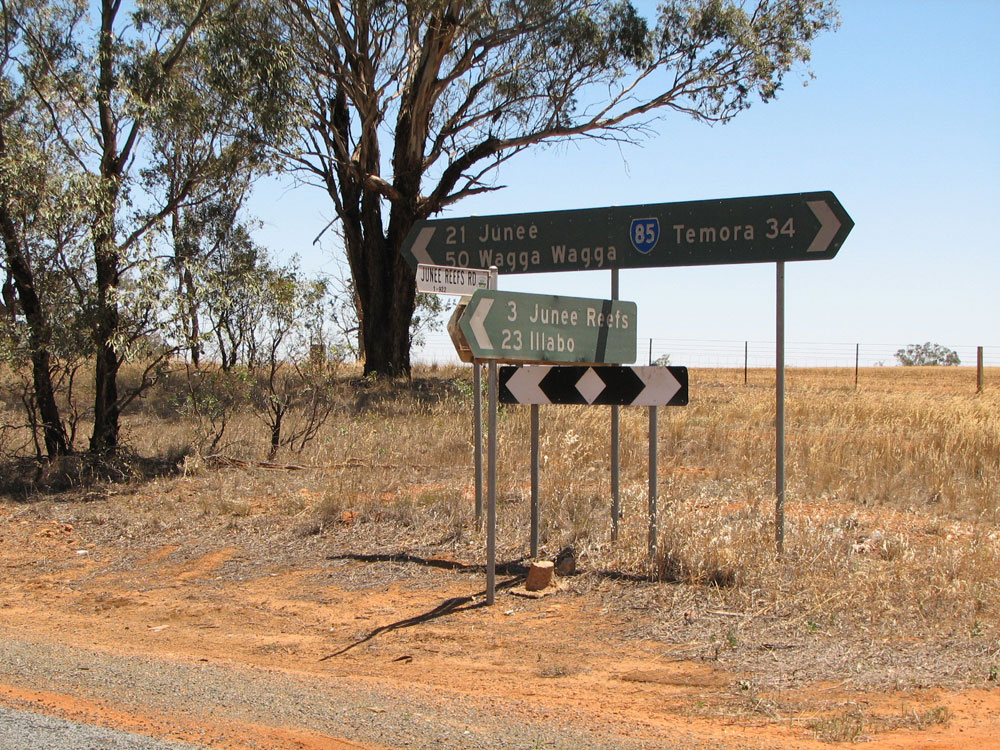 |
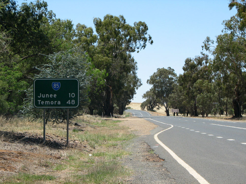
Black fingerboard sign assembly at the intersection of Goldfields Way & Junee Reefs Road, 34km south of Temora. Photo taken: December 2008. |
 |
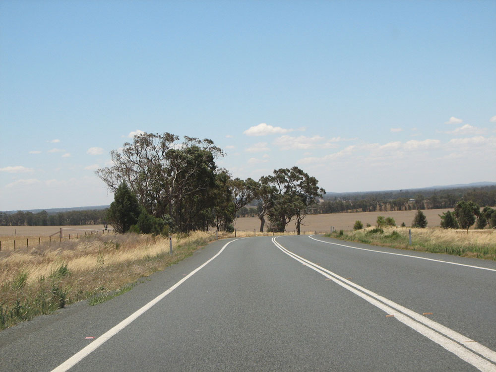
Goldfields Way looking north at the junction with Combaning Road, 31km south of Temora. Goldfields Way swings around to the left. Photo taken: December 2008. |
 |
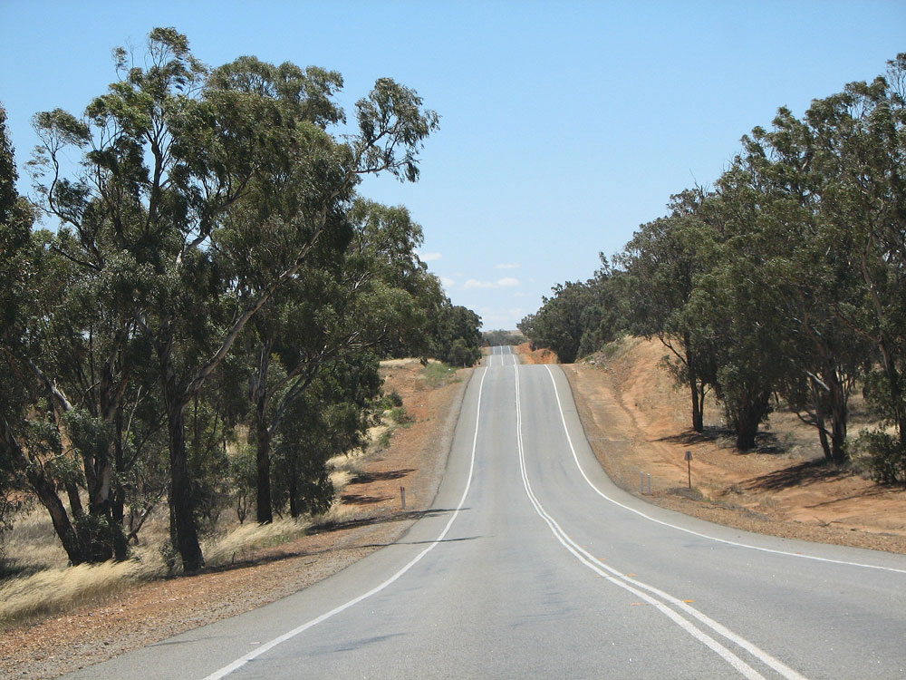
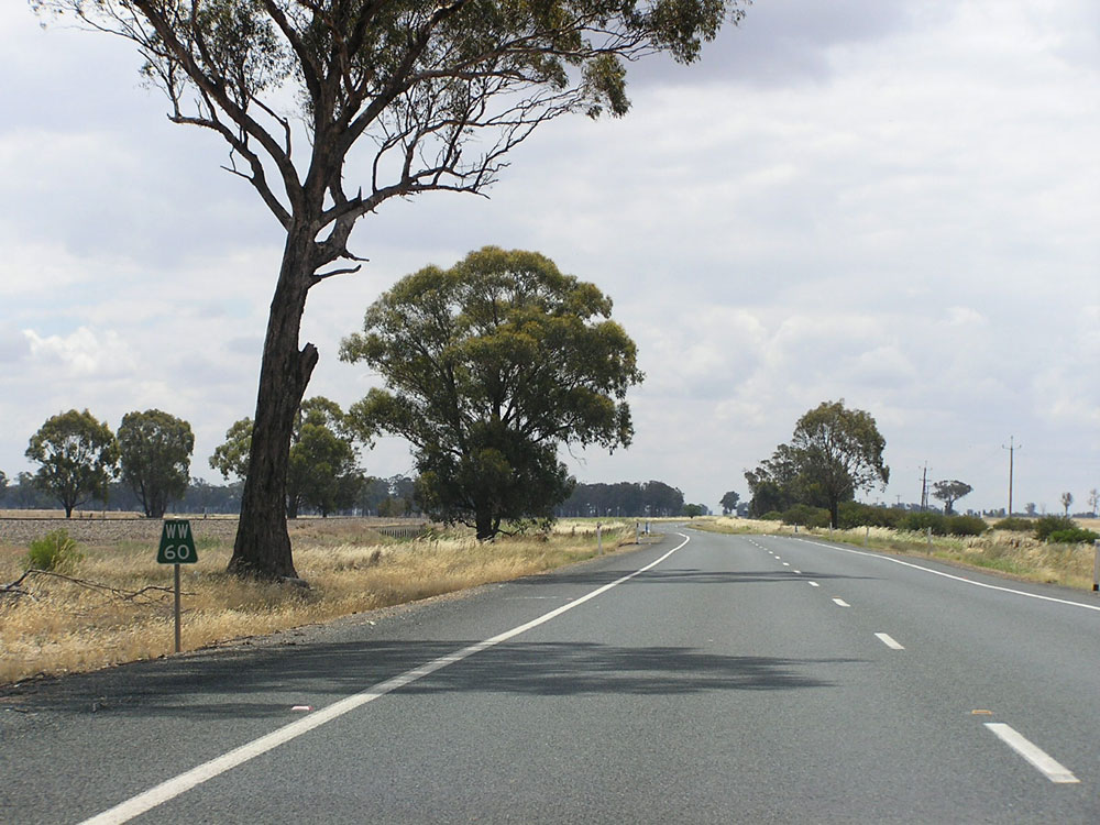
Goldfields Way looking north approximately 27km south of Temora. Photo taken: December 2008. |
 |
Undulating section of Goldfields Way, looking north approximately 24km south of Temora. Photo taken: December 2008. |
 |
Goldfields Way looking north near Sebastopol, approximately 14km south of Temora. Photo taken: December 2008. |
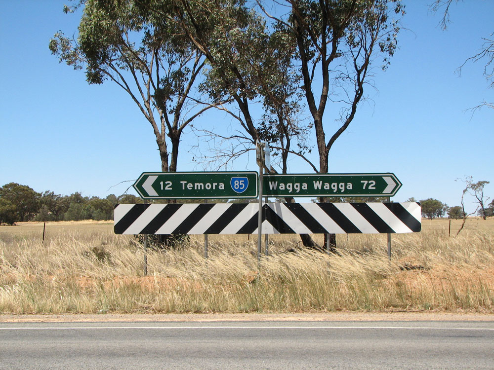 |
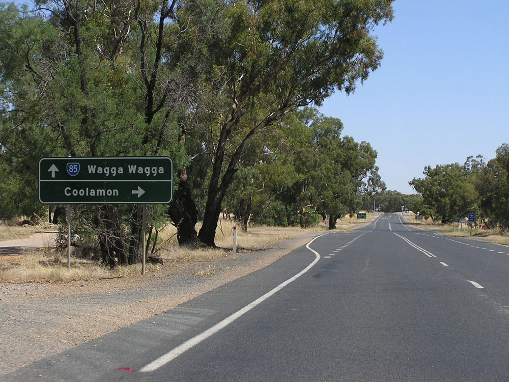
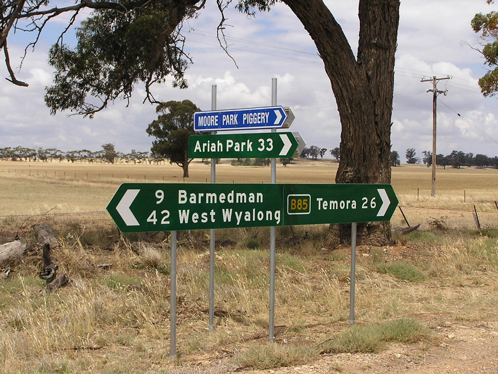
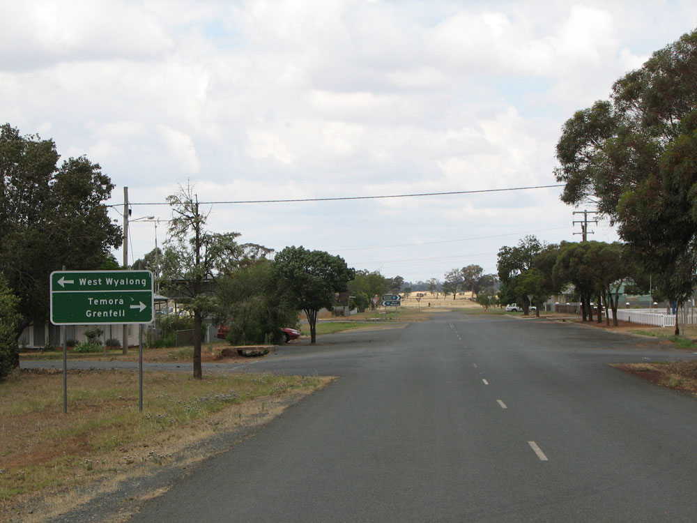
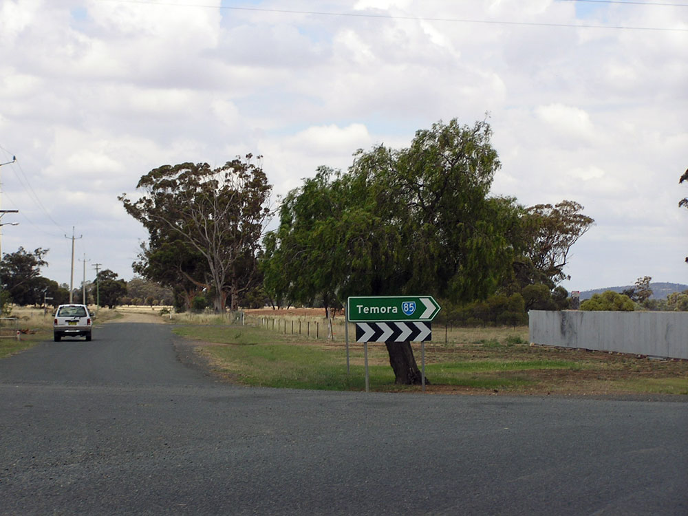
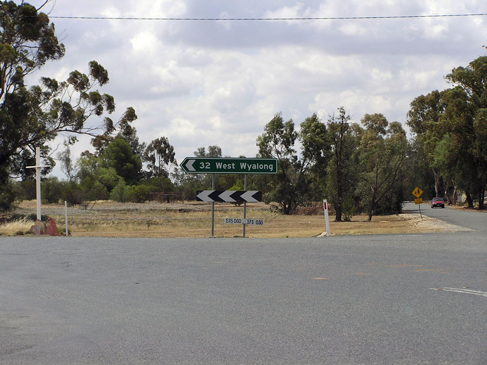
Non-standard and poorly designed ID/fingerboard sign assembly at the intersection of Goldfields Way & Coolamon Rd, 12km south of Temora. Photo taken: December 2008. |
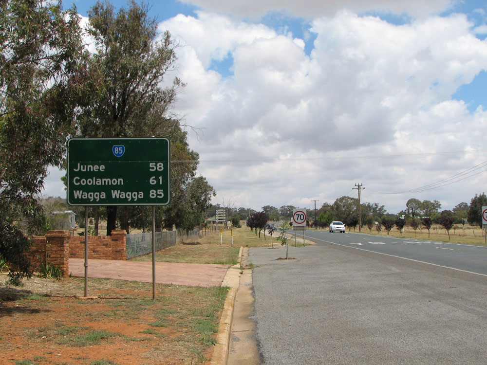 |
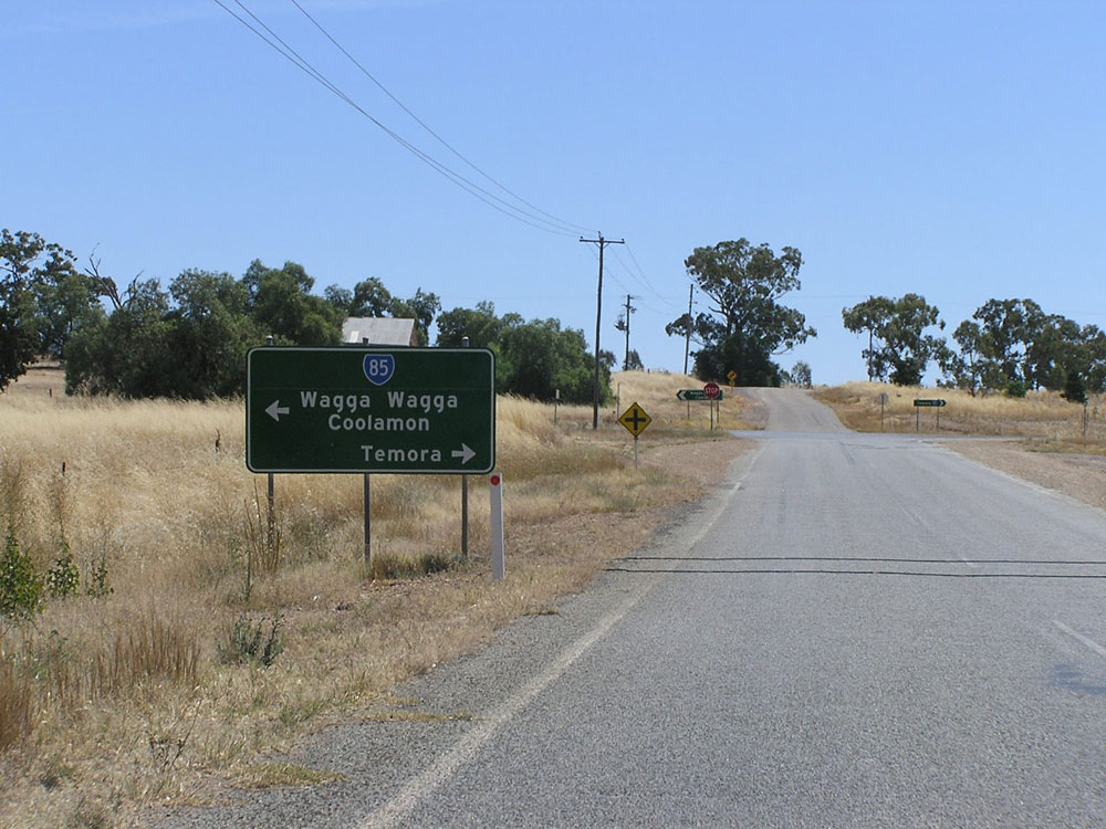
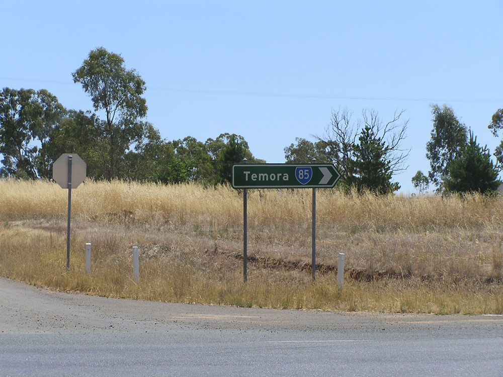
Poorly designed RD sign southbound on Goldfields Way at Temora. Note the incorrect font and undersized SR85 route marker. Photo taken: November 2008. |
 |
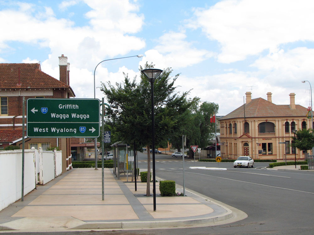
Goldfields Way looking south at the junction with Austral St & Cootamundra Rd, Temora. Photo taken: November 2008. |
 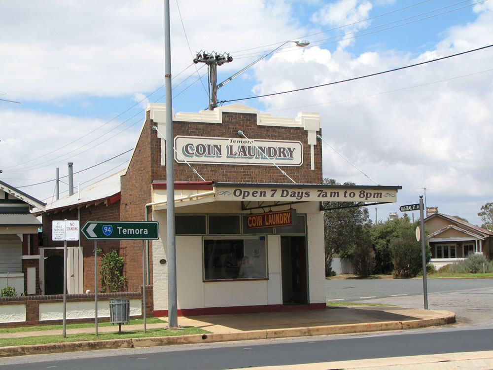 |
Poorly-designed ID signs guiding State Route 85 traffic around the bend at the intersection of Goldfields Way, Austral St & Cootamundra Rd, Temora. Note the north-pointing sign has the incorrect route marker! Photo taken: November 2008. |
 |
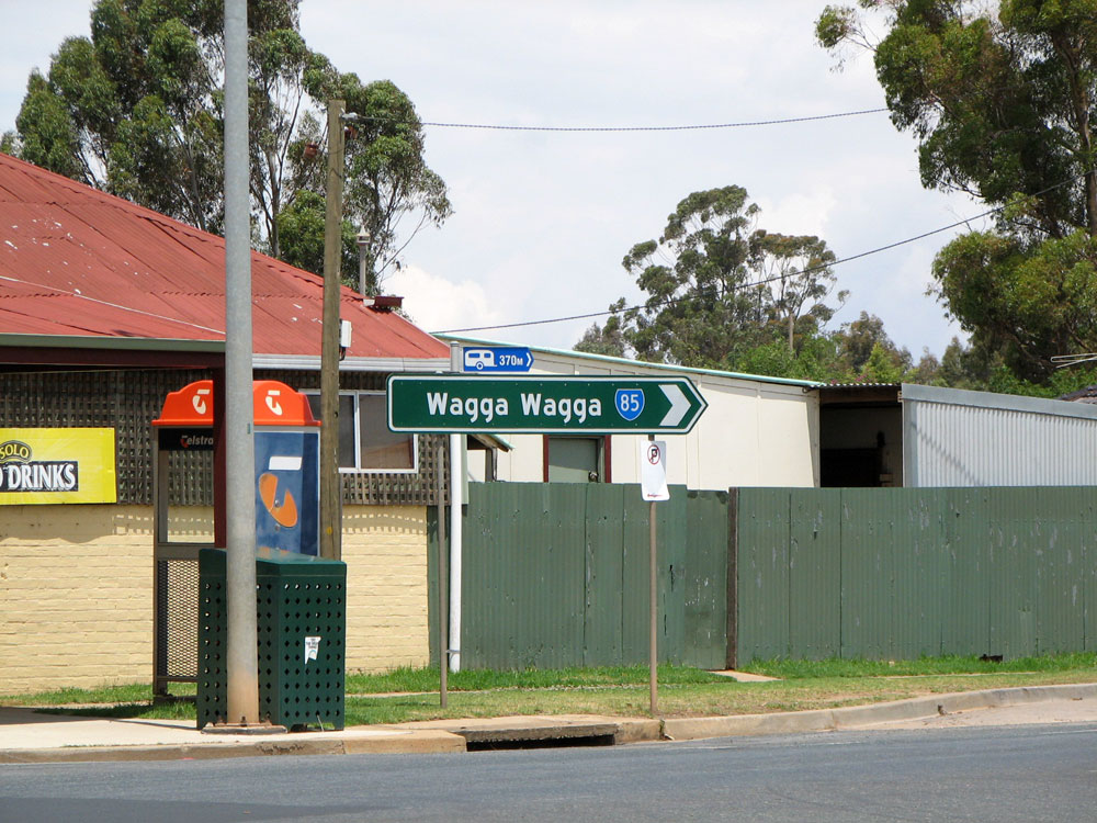
AD sign northbound on Goldfields Way (Hoskins Street) approaching the junction with Burley Griffin Way (Victoria Street), Temora. Photo taken: February 2006. |
 |
AD sign eastbound on Burley Griffin Way approaching the junction with Goldfields Way, Temora. Note the blank road name patch awaiting signposting of the 'Goldfields Way' route name. Also note the dodgy alteration to the sign, directing Young traffic to go straight ahead. Photo taken: November 2008. |
  |
State Route 85 ID signage at the intersection of Goldfields Way & Burley Griffin Way, Temora. Note the blank name patches awaiting signposting of the 'Goldfields Way' route name and the dodgy alteration to the sign in the bottom photo, directing Young traffic to go straight ahead. Photo taken: November 2008. |
 |
AD sign southbound on Goldfields Way (Hoskins Street) approaching the junction with Burley Griffin Way (Victoria Street) in Temora town centre. Photo taken: November 2008. |
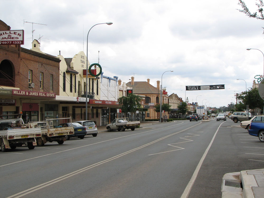 |
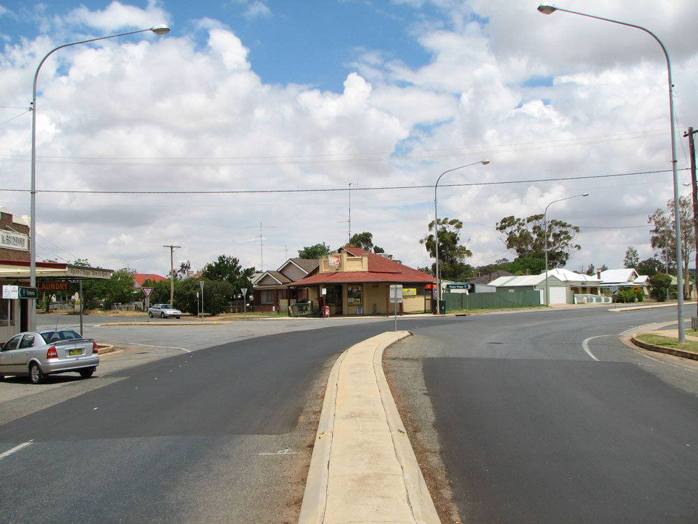
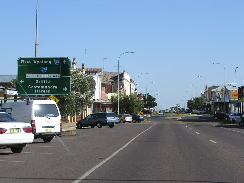
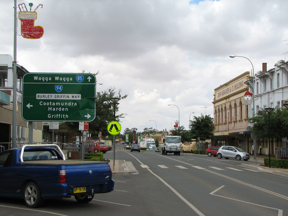
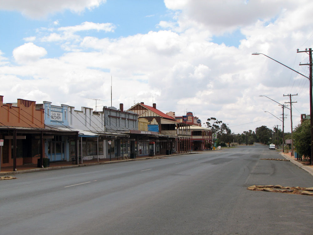
Looking north along Goldfields Way (Hoskins Street) through the town centre of Temora. Photo taken: November 2008. |
 |
AD sign eastbound on Loftus Street approaching the junction with Goldfields Way (Hoskins Street) at Temora. Loftus Street was part of Main Road No. 241 until construction of the Waratah Street deviation at the eastern edge of town removed through traffic. Photo taken: November 2008. |
 |
Goldfields Way (Hoskins Street) looking south through the northern part of Temora. Photo taken: November 2008. |
 |
Non-standard RD sign northbound on Goldfields Way (Hoskins Street) at the northern edge of Temora. Photo taken: November 2008. |
 |
Goldfields Way looking north at Airport Rd, 4km north of Temora. Photo taken: November 2008. |
 |
Black fingerboard sign on Goldfields Way at the entrance to Centenary Lake, 4km of Temora. Photo taken: November 2008. |
 |
Typical view of Goldfields Way as it runs alongside the Cootamundra to Lake Cargelligo railway line, 6km north of Temora. Photo taken: November 2008. |
 |
Goldfields Way looking north through the locality of Thanowring, 6km north of Temora. Photo taken: November 2008. |
 |
Black fingerboard sign at the intersection of Goldfields Way & Taylors Rd, Gidginbung. Photo taken: November 2008. |
 |
Goldfields Way looking north, showing recent resurfacing work underway at the locality of Gidginbung, 14km north of Temora. Photo taken: November 2008. |
 |
Goldfields Way looking north at Greens Creek, 20km north of Temora. Photo taken: November 2008. |
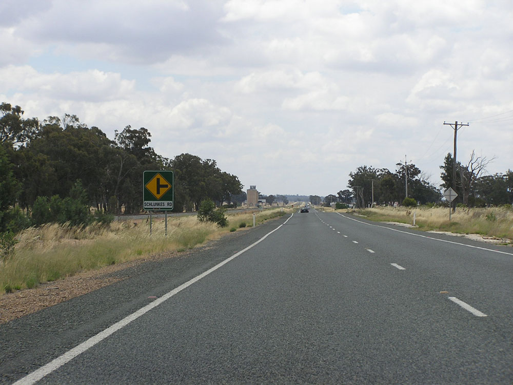 |
Goldfields Way looking north, approaching the junction with Schlunkes Rd at Reefton, 23km north of Temora. Photo taken: November 2008. |
 |
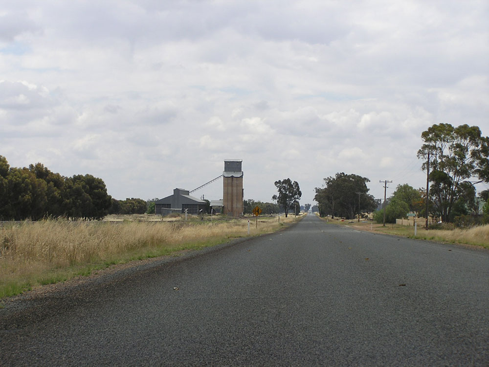
Goldfields Way looking north through the tiny village of Reefton, 24km north of Temora. Photo taken: November 2008. |
 |
Brand new fingerboard sign assembly at the intersection of Goldfields Way & Reefton - Ariah Park Road, 26km north of Temora. Photo taken: November 2008. |
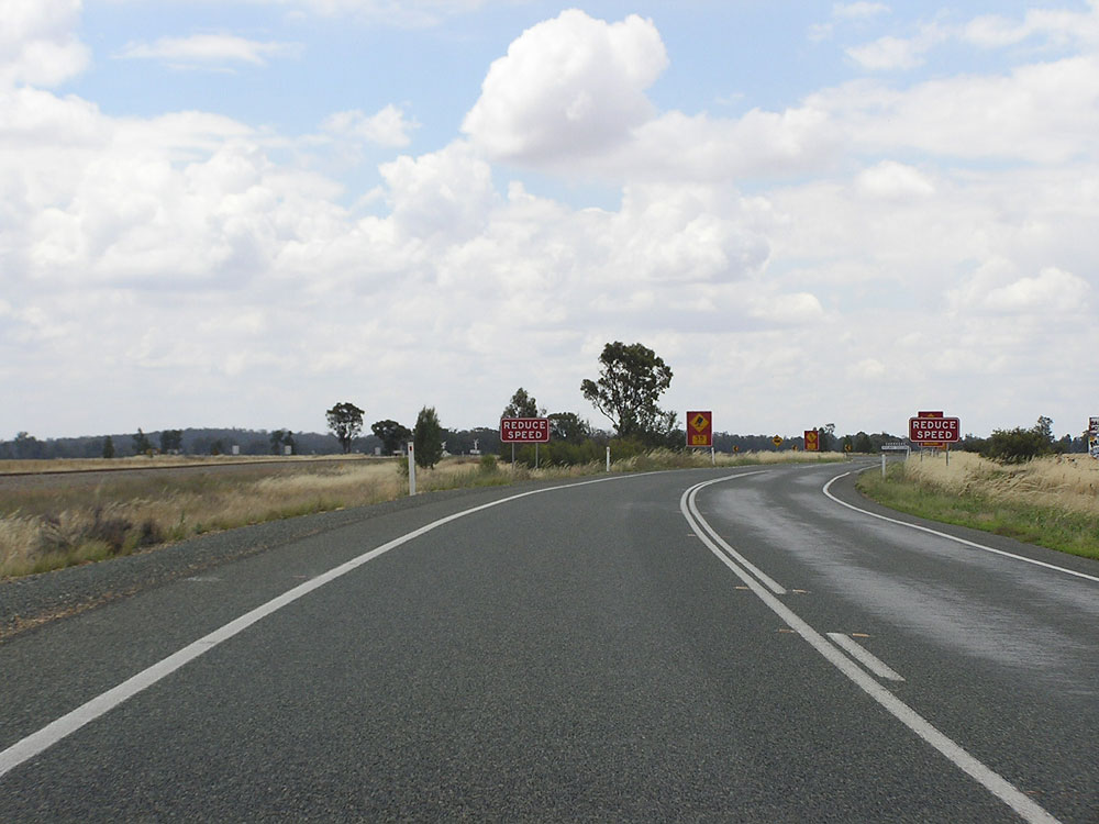 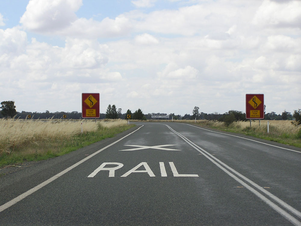  |
Three northbound views of Goldfields Way as you approach the level crossing of the Cootamundra - Lake Cargelligo railway line, 29km north of Temora. Photo taken: November 2008. |
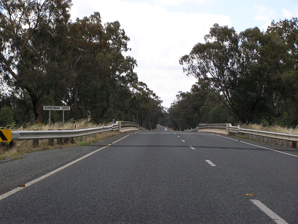 |
Goldfields Way looking north at the bridge over Barmedman Creek, 32km north of Temora. Photo taken: November 2008. |
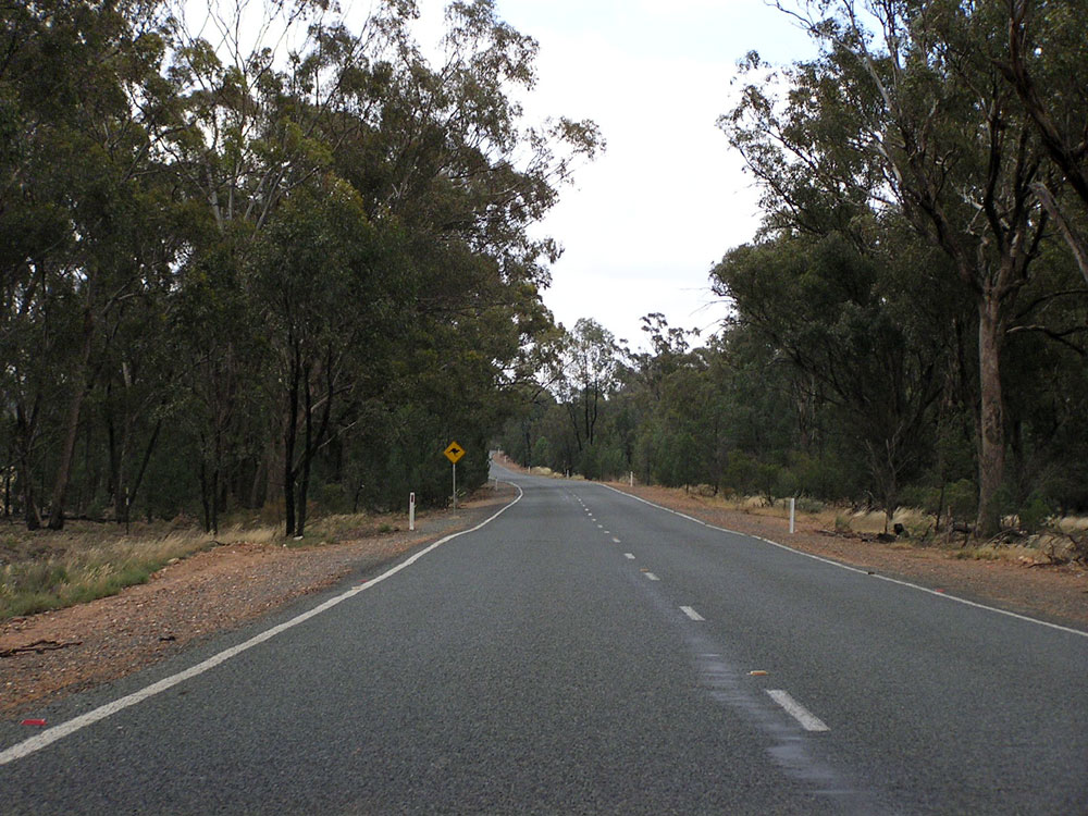 |
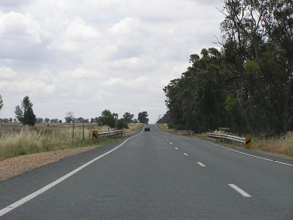
Typical northbound view through a forested section of Goldfields Way near Barmedman Creek. Photo taken: November 2008. |
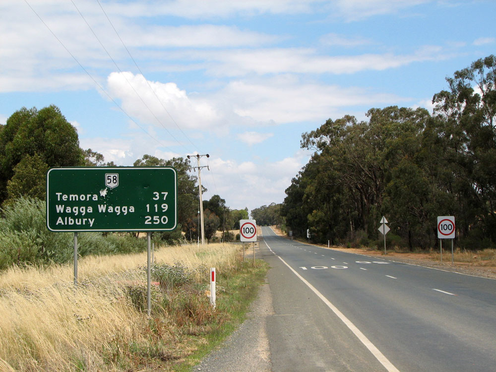 |
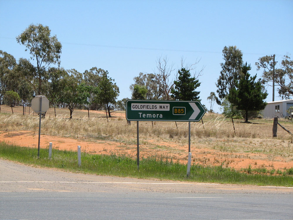
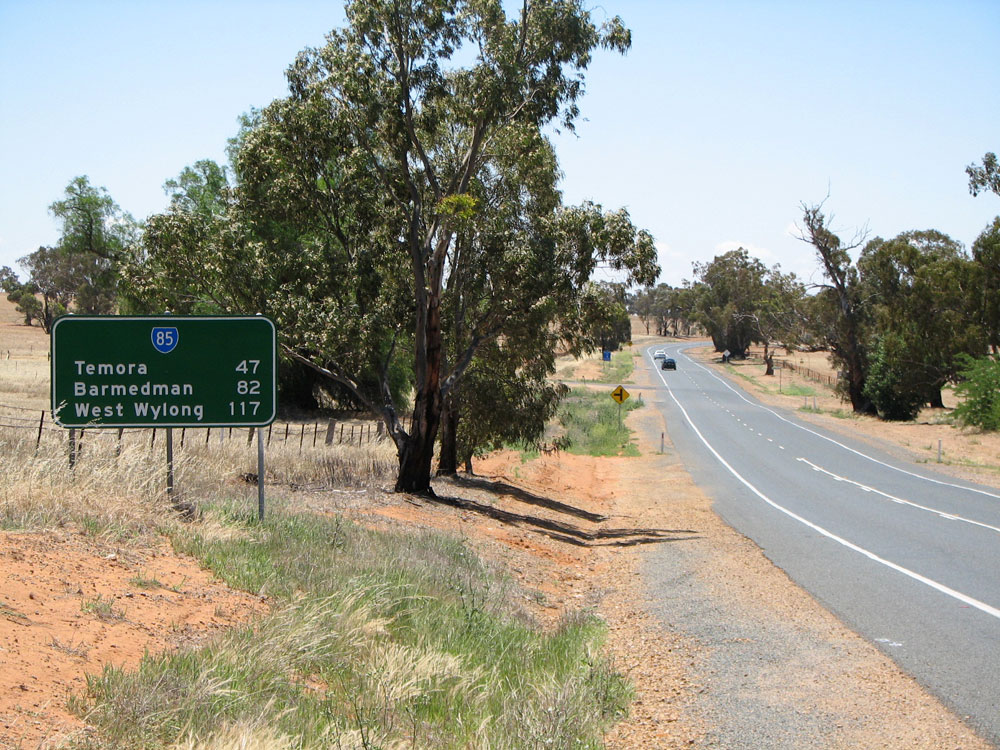
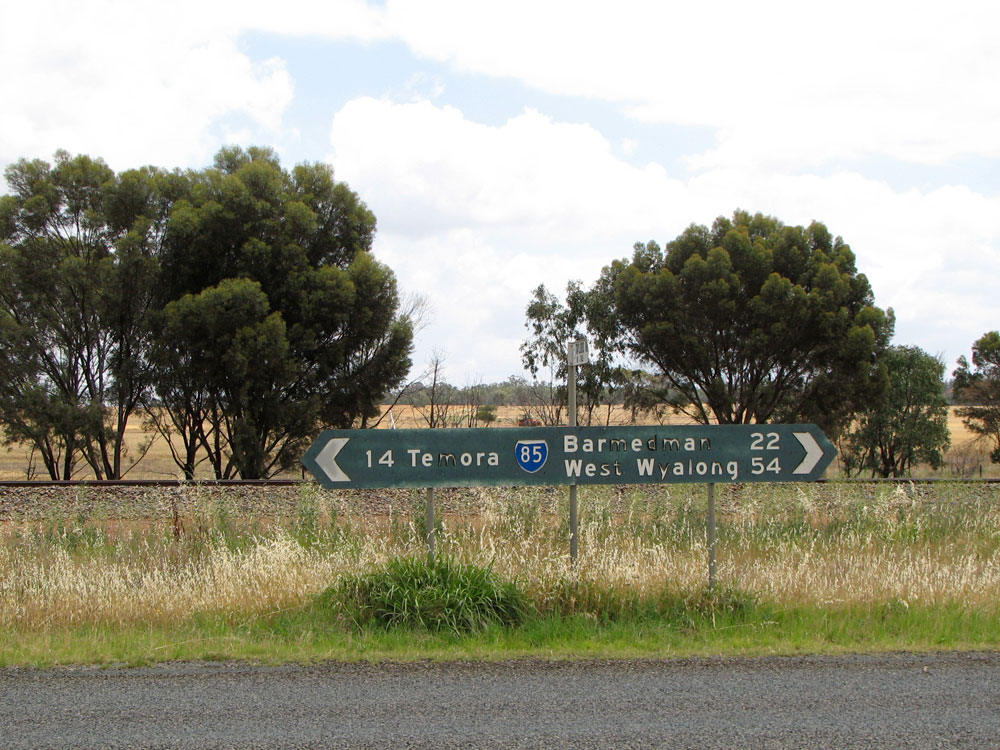
RD sign southbound on Goldfields Way on the southern outskirts of Barmedman. This sign is well designed, apart from the very obvious incorrect route marker! Also note the reference to Albury, which is not followed up on the RD sign at Temora. Photo taken: November 2008. |
 |
Goldfields Way looking north into Barmedman on approach to the level crossing of the Barmedman - Rankin Springs railway line. Photo taken: November 2008. |
 |
AD sign northbound on Goldfields Way approaching the junction with Hope Street (Main Road No. 398) at Barmedman. Note the incorrect National Route 58 shield - it is quite unusual to see an old black sign with such an error! Photo taken: November 2008. |
 |
Black ID sign assembly at the intersection of Goldfields Way (Queen Street) & Hope Street, Barmedman. No errors on this one! Also note the reference to Ariah Park - M.R. 398 continues from Barmedman to Ariah Park. Photo taken: November 2008. |
 |
Terrible non-standard AD sign southbound on Goldfields Way (Queen Street) approaching Hope Street, Barmedman. Photo taken: November 2008. |
 |
AD sign northbound on Goldfields Way (Queen Street) approaching Loftus Street (Main Road No. 398) at Barmedman. Note the missing SR85 shield. Photo taken: November 2008. |
 |
Poorly designed, non-standard AD sign eastbound on Loftus Street approaching Goldfields Way at Barmedman. Note the missing SR85 shields. Photo taken: November 2008. |
 |
Good quality black ID sign assembly at the intersection of Goldfields Way & Loftus Street at Barmedman. Photo taken: November 2008. |
 |
Goldfields Way (Queen Street) looking north through a rather desolate Barmedman town centre. Photo taken: November 2008. |
  |
ID signs at the intersection of Goldfields Way, Camp St & Nobbys Rd on the northern edge of Barmedman. Note that the sign facing northbound traffic incorrectly omits reference to State Route 85. Photo taken: November 2008. |
 |
RD sign northbound on Goldfields Way at the northern edge of Barmedman. Note the omission of a SR85 route marker. Photo taken: November 2008. |
 |
Perfectly designed RD sign southbound on Goldfields Way near the junction with Newell Highway at Wyalong. Photo taken: February 2006. |
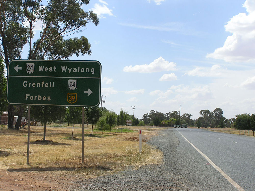 |
AD sign northbound on Goldfields Way approaching the northern terminus of the route, at the intersection with Newell Highway, Wyalong. Note this non-standard sign incorrectly omits reference to NH39 for the left turn. Photo taken: February 2006. |
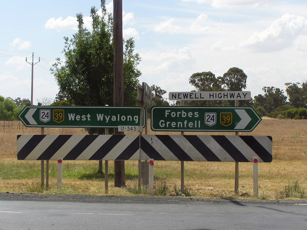  |
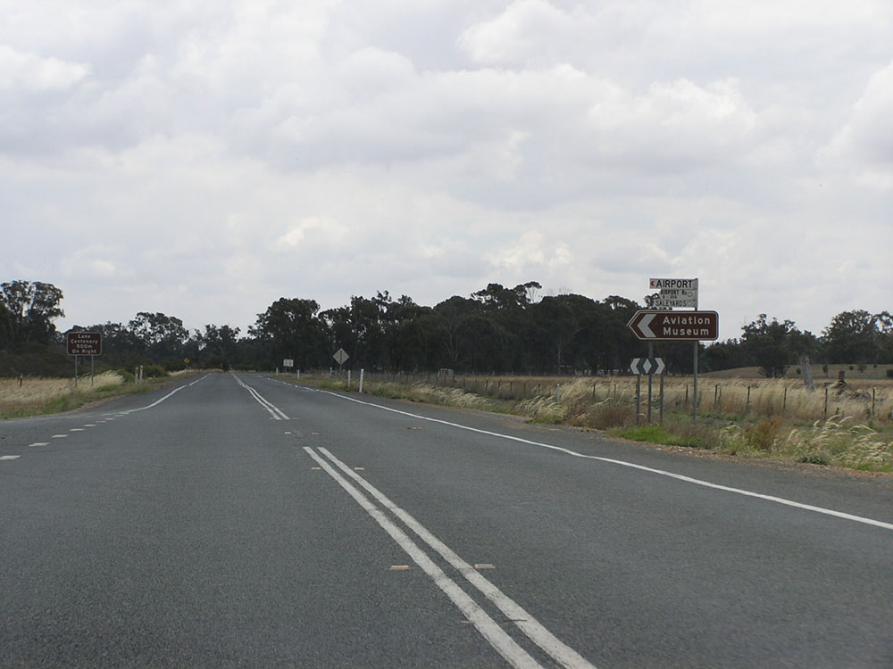
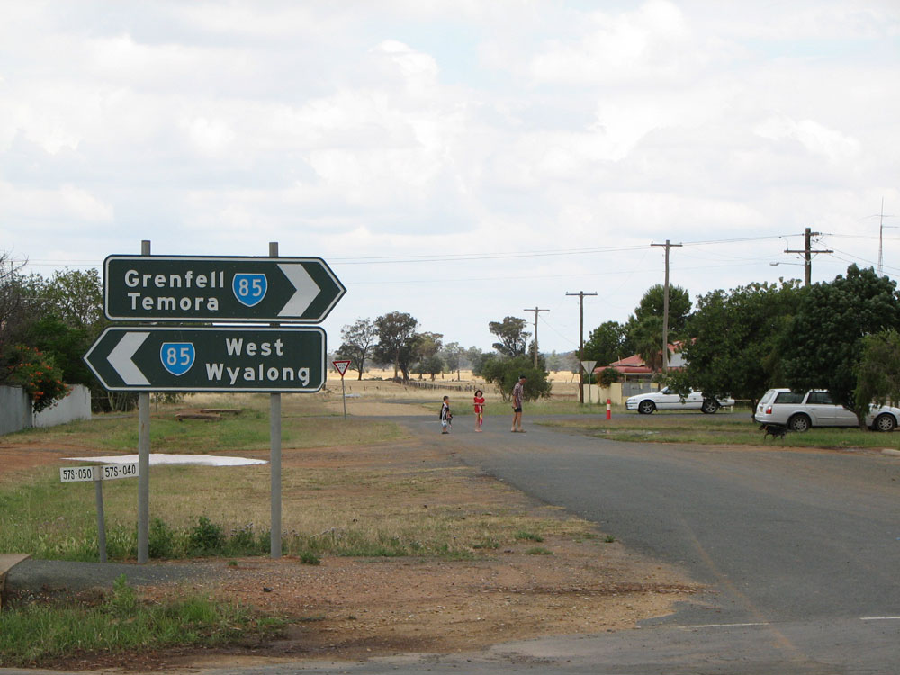
ID and fingerboard signs at the intersection of Newell Highway & Goldfields Way, Wyalong. It is unusual that such a major intersection has fingerboard signs for SR85 traffic. Photo taken: February 2006. |
 |
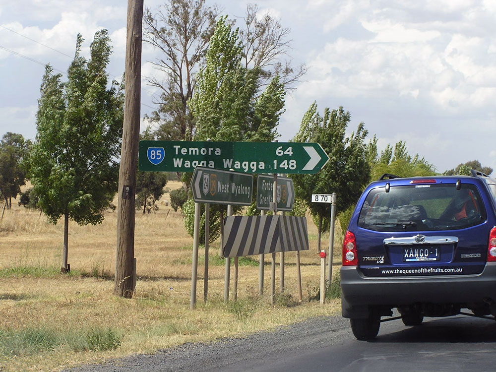
Non-standard AD sign eastbound on Newell Highway approaching the junction with Goldfields Way at Wyalong. There is no AD sign for westbound traffic, despite this being an important turnoff for traffic heading south along the Newell Highway. Photo taken: February 2006. |
Last updated 11 December 2012 © Ozroads 2003-2012. |