State Route 82 Freemans Waterhole - Cessnock - Branxton |
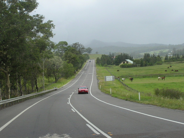
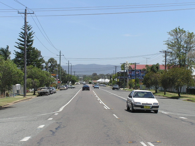
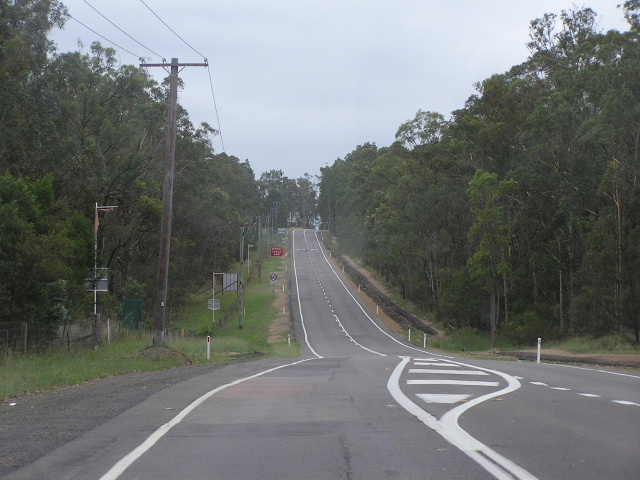
Heading west (north) along Lake Rd from the SR135 intersection at Mulbring. Oct 2004.
In 2013, RMS will be implementing a new alpha-numeric route numbering system. For more information, visit the RMS Website. |
|
Forthcoming alpha-numeric route number: |
|
Length: 49km
Northern Terminus: New England Hwy & Clift St, Branxton
Southern Terminus: F3 Freeway & Freemans Drive, Freemans Waterholes Interchange
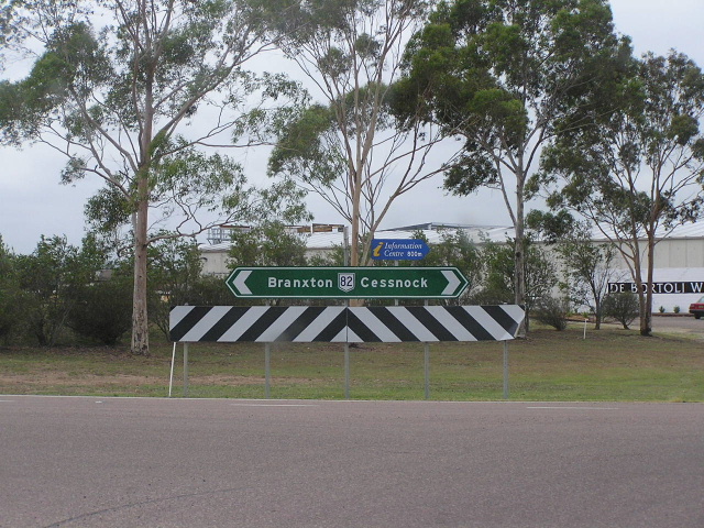
Route taken: Freemans Drive, Leggetts Drive, Lake Rd, Allandale St, Caledonia St, Cessnock Rd, Greta St, Aberdare Rd, Vincent St, Allandale Rd, Wine Country Drive (formerly Orient St, Main Rd, Branxton Rd), Bridge St, Drinan St, Clift St
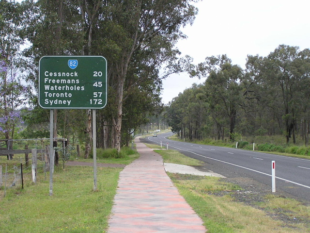
Focal Points: Toronto/Sydney, Cessnock, Branxton
RTA Internal Classification: Main Road 220
Route Overview:
State Route 82 serves the coalfields region of the lower Hunter, also providing a link between the F3 and New England Highway. Its original purpose, when introduced in 1974, was to link the Pacific and New England Highways, providing a bypass of Newcastle to the west of Lake Macquarie, a job it still does despite the opening of the F3 to Minmi in Dec 1993.
There has not been many major upgrading projects on this route since its inception, the ones of note include the reconstruction and widening of Freemans Gap in the early 1970s; the Mulbring Deviation which opened to traffic in August 1984 replacing a narrow timber bridge over Church Creek and circuitous route through town; and the Vincent St upgrade through Cessnock. For a brief period (1988-1993) NH1 joined SR82 on its journey from the F3 to Mulbring before teh F3 was opened through to Minmi.
Initially the route stretched from the Pacific Highway at Doyalson via Wyee, Morisset and Cooranbong to join the current route at its southern terminus. The section south of Freemans Waterholes Interchange was decomissioned in March 1988 when the F3 opened to Freemans Waterholes and took over SR82's main function: to feed traffic to Wyong and points south.
Notable events in the history of SR82:
Early 1970s - Freemans Gap reconstruction and widening
1974 - Route introduced from Pacific Hwy at Doyalson to New England Hwy at Branxton
Aug 1984 - Mulbring Deviation
Mar 1988 - Route south of Freemans Waterholes Interchange decomissioned; NH1 duplex commissioned between F3 and Mulbring
Dec 1993 - NH1 duplex removed
2003/04 - Vincent St Upgrade, Cessnock
2004 - Sections of route given new names: Leggetts Drive (Freemans Gap to Mulbring) and Wine Country Drive (Cessnock to Branxton)
Further reading (on-site):
Southern Terminus: Freemans Waterholes Interchange
NH1 Duplex - A page covering the former alignment of NH1 that included part of SR82
Photos of State Route 82 |
|
 |
RD sign heading south from Freemans Waterholes. Note the remnant NH1 shield, the only one left on this former alignment. Dec 2003. |
 |
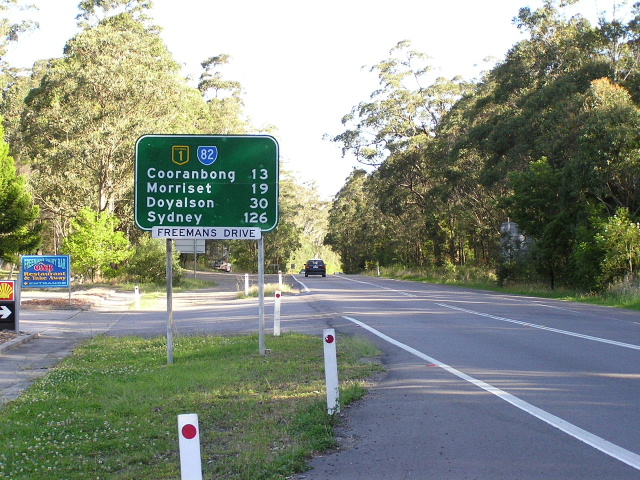
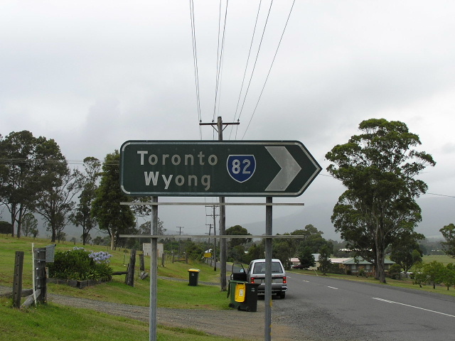
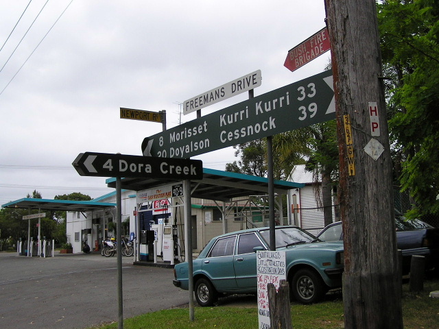
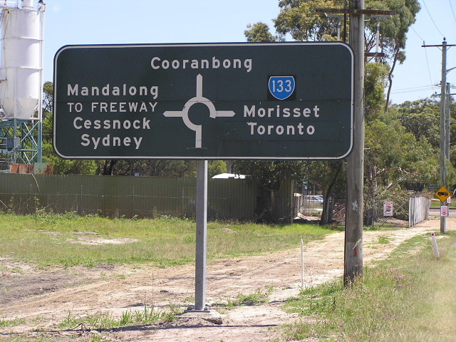
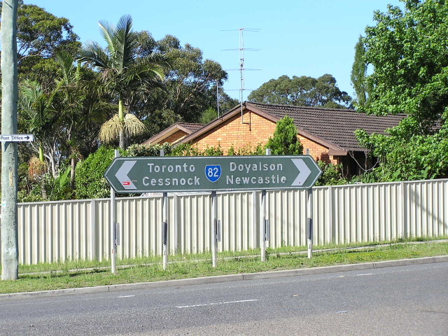
Double chevron ID sign in Freemans Waterholes that still uses the old focal points of Morisset/Wyong. These days the focal points are Morisset/Sydney. Oct 2004. |
 |
Approaching SR82 from Palmers Rd, Freemans Waterholes. Note the patches covering NH1 shields. Photo taken 1998 - sign replaced in 2000. |
 |
Old RD sign heading north from Freemans Waterholes, this has since been replaced. The dark patch is where a coverplate existed for five years showing the SR82/NH1 duplex. Photo taken 1998. |
 |
Looking south towards Freemans Gap. Dec 2003. |
 |
ID sign at the intersection with Sandy Creek Rd, Mulbring. Dec 2003. |
 |
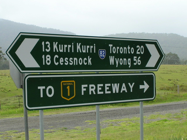
ID signs at the intersection with Palmer St (former SR82), Mulbring. Dec 2003. |
 |
Black AD sign dating from 1984 on Palmer st approaching SR82 at Mulbring. Dec 2003. |
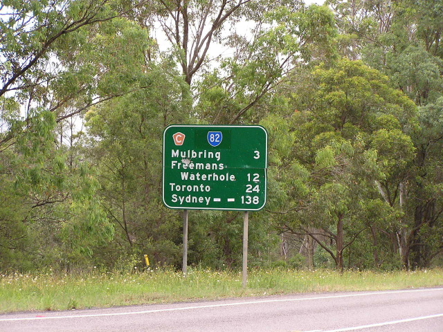 |
RD sign southbound from the SR135 intersection at Mulbring. Dec 2003. |
 |
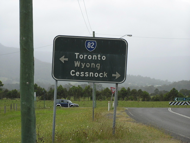
Heading north approaching SR135 at Mulbring. Dec 2003. |
 |
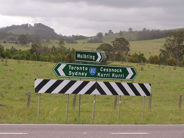
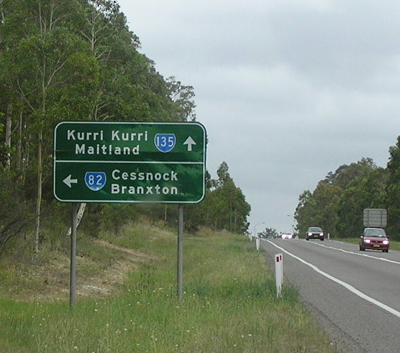
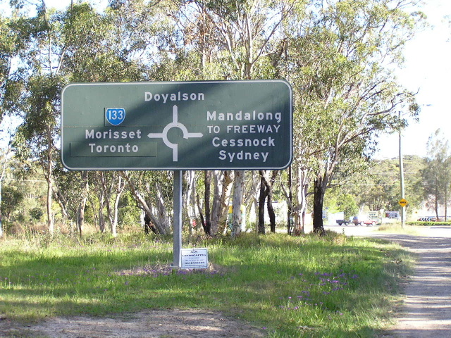
ID sign showing SR135 left and SR82 right. Oct 2004. |
 |
Heading east (south) towards SR135 at Mulbring. Oct 2004. |
 |
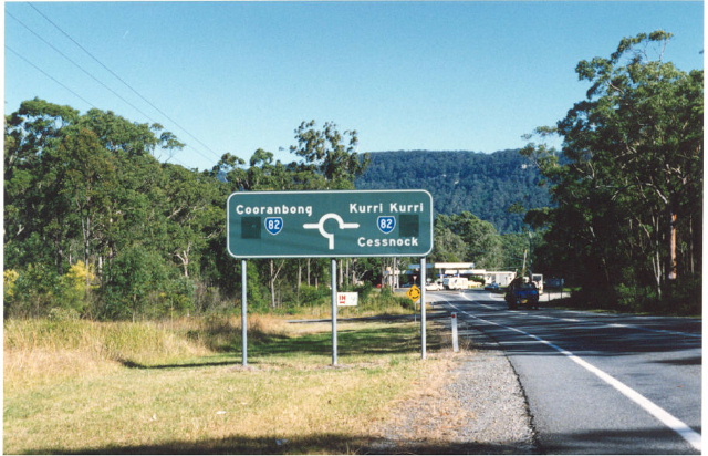
Black ID sign at the SR135 intersection. There are several of these remaining along SR82 betwen here and Cessnock! Oct 2004. |
 |
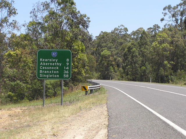
Another black ID sign approaching the level crossing with the South Maitland Railway in Kearsley. Dec 2003. |
 |
Black ID sign at the intersection of Caledonia St & Allandale St, Kearsley. Dec 2003. |
 |
Looking west through Kearsley. Dec 2003. |
 |
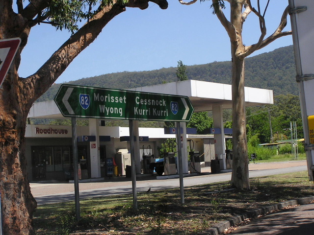
Another black ID sign at the intersection of Colliery St & Great St, Aberdare. Oct 2004. |
 |
Looking west through Aberdare. Oct 2004. |
 |
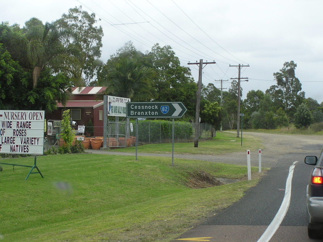
RD sign heading east (south) from Cessnock along Aberdare Rd. Dec 2003. |
 |
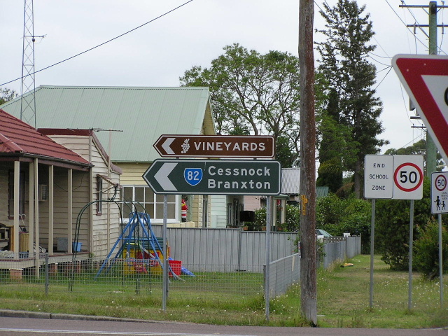
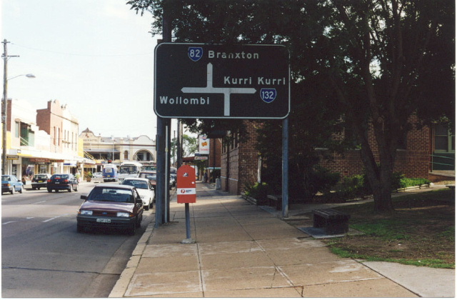
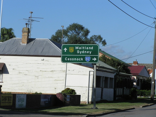
Assembly of ID and fingerboard signs at the intersection of Vincent St & Aberdare Rd, Cessnock. Dec 2003. |
 |
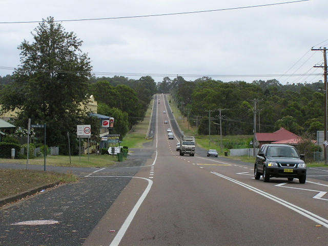
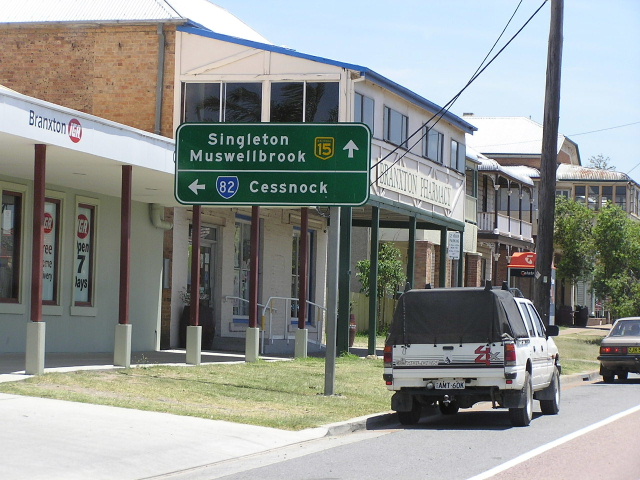
Looking north along Vincent St, Cessnock. Oct 2004. |
 |
Old black AD sign northbound on Vincent St approaching the start of SR132 at Maitland Rd. Dec 1998. |
 |
Black ID sign at the intersection of Wollombi & Allandale Roads in Cessnock. Oct 2004. |
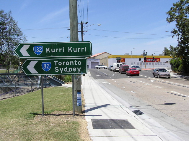 |
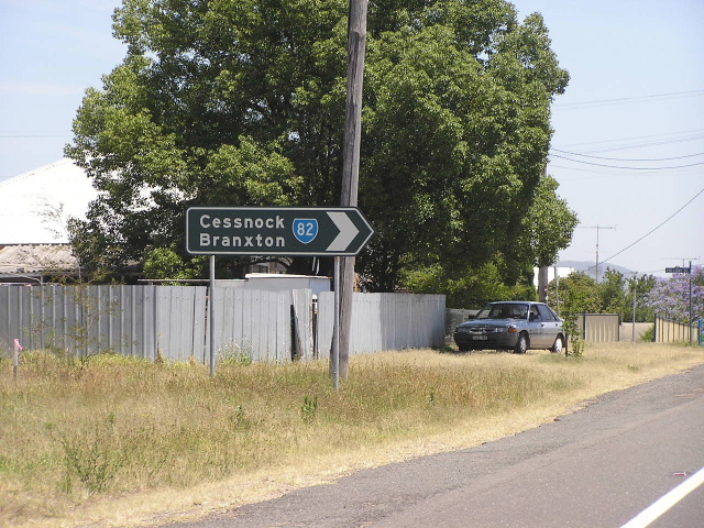
ID signs southbound on Allandale Rd approaching SR132. Oct 2004. |
 |
Very faded 1974 installation (that has since been removed) on Allandale Rd. Dec 2003. |
 |
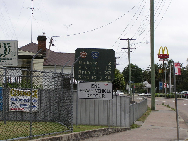
Incorrect NR82 shield at O'Connors Rd, Nulkaba. Dec 2003. |
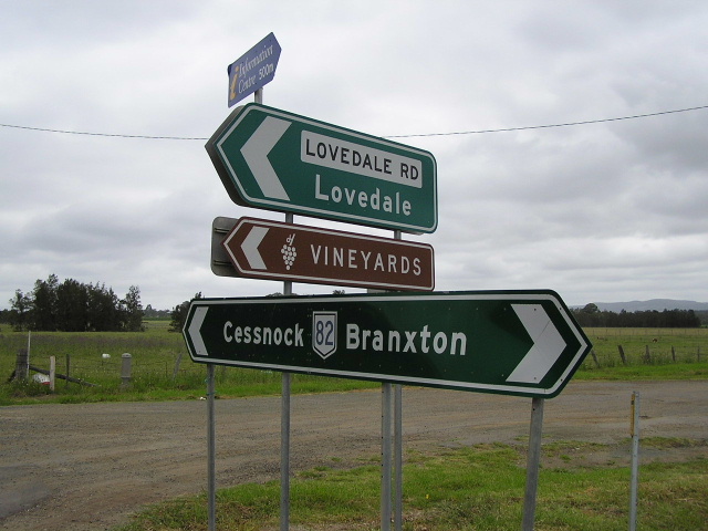 |
Another incorrect shield, this time at Lovedale Rd, Lovedale. Dec 2003. |
 |
Another incorrect shield! This time at Broke Rd, Pokolbin. Dec 2003. |
 |
Looking north through Rothbury. Dec 2003. |
 |
Very old style kilometre plate in Rothbury. B stands for Branxton. Dec 2003. |
 |
Looking north into the small township of North Rothbury. Dec 2003. |
 |
Old painted distance sign heading south along Wine Country Dr from Branxton. Nov 2005. |
 |
Odd sign - referring to the National Highway (New England Hwy) but using the wrong route marker! Corner of Bridge & Drinan Streets, Branxton. Dec 2003. |
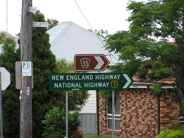 |
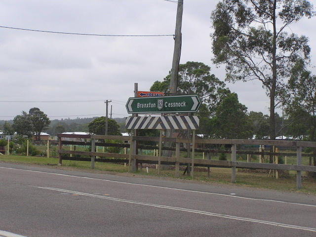
Another unusual sign, this time at the corner of Drinan & Clift Streets. Dec 2003. |
 |
Southbound RD sign from New England Hwy at Branxton. I took this one on the same day that the survey blokes were here doing the New England Hwy audit! :-) Dec 2003. |
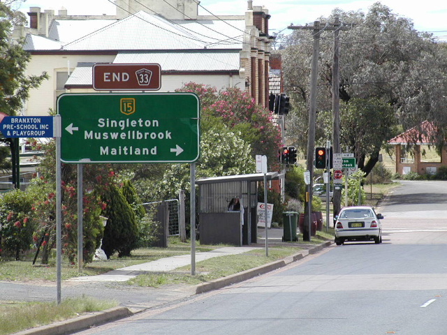 |
The last sign on northbound SR82 - note the END TD33 sign but no mention that SR82 ends here too! Dec 2003. |
 |
Heading west on the New England Hwy approaching the northern terminus of SR82. Oct 2004. |
 |
Heading east on the New England Hwy approaching the northern terminus of SR82. Oct 2004. |
SR82 former alignment - Mulbring (1974-1984) |
|
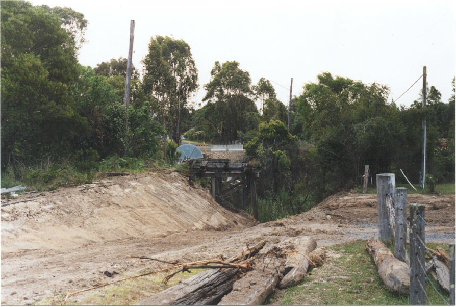 |
The location of the old timber bridge across Church Creek that was demolished following the completion of the Mulbring Deviation in 1984. |
 |
1984 sign pointing to SR82 from the intersection of Mt Vincent Rd & Child St, Mulbring. Dec 2003. |
SR82 former alignment - Doyalson to Freemans Waterholes Interchange (1974-1988) |
|
 |
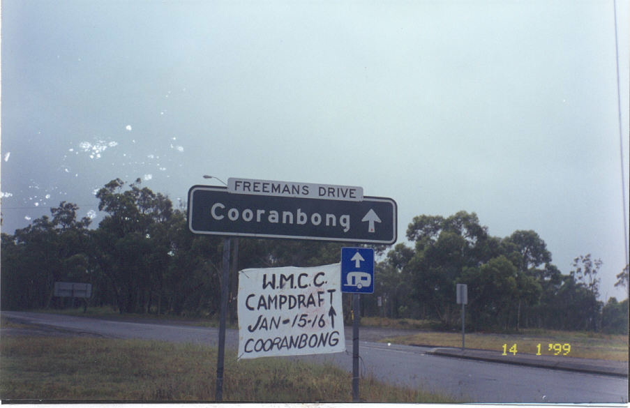
Black fingerboard signs, installed in 1988, on Freemans Drive in Cooranbong. The age of these signs that exclude SR82 shows just how long ago this section of the route was decomissioned. Dec 2003. |
 |
Black AD sign, dating from about 1987, southbound on Freemans Drive approaching SR133 at Morisset. SR82 was on this sign, on the left of Doyalson on a coverplate until it was decomissioned in 1988. Oct 2004. |
 |
Black ID sign at the same intersection, again dating from 1988 just after SR82 was decomissioned. Jan 1999. |
 |
This sign, heading north on Freemans Drive from the same intersection, possibly included SR82 on a coverplate for a small period of time. Jan 1999. |
 |
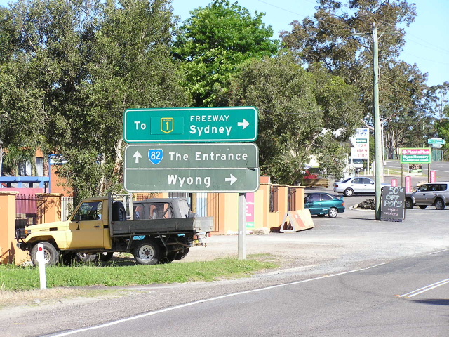
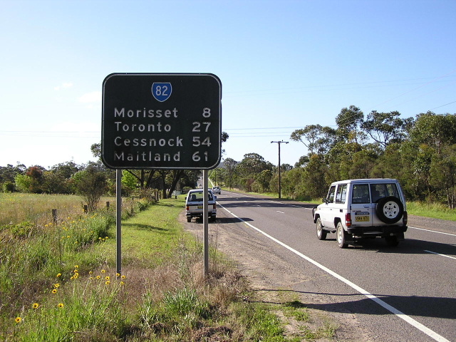
This black AD sign, northbound on Wyee Rd approaching SR133 at Morisset, excludes SR82 as it dates from 1988. Notice the inclusion of the Cessnock focal point via the freeway, showing that the F3 was open to Freemans Waterholes. Oct 2004. |
 |
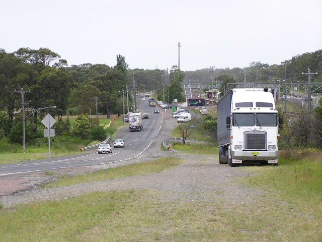
Looking north along a typical section of Wyee Rd between Wyee and Morisset. Oct 2004. |
 |
Possibly a 1974 installation (although the top sign dates from 1983) still surviving on Wyee Rd in Wyee. Oct 2004. |
 |
This one is newer than the SR82 decommissioning, however, it is a direct replica of the black AD sign that existed here previously. My guess is that the maintenance crew simply replaced the sign without consulting the TEO's as to whether the sign was correct anymore. Oct 2004. |
 |
Another possibly 1974 installation on Hue Hue Rd approaching Wyee Rd in Wyee. Oct 2004. |
 |
Another possibly 1974 installation at the intersection of Hue Hue & Wyee Roads in Wyee. Oct 2004. |
 |
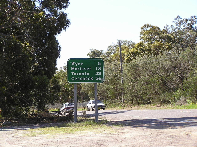
Most likely a 1974 installation heading north from Wyee. Oct 2004. |
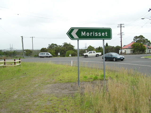 |
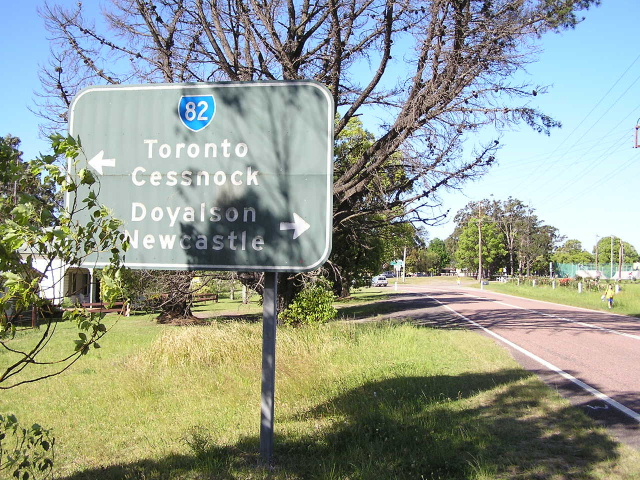
1990s ID sign at the intersection of Wyee St & Bungaree St, Wyee. Notice how the SR82 focal points of Toronto/Cessnock have since been replaced by the more local focal point of Morisset since SR82's decomissioning. Oct 2004. |
 |
Looking south along former SR82 near Wyee Station. Oct 2004. |
 |
The first RD sign heading north-west from Pacific Hwy at Doyalson. Oct 2004. |
Last updated 11 December 2012 © Ozroads 2003-2012. |