State Route 79 Mittagong - Moss Vale - Nowra |
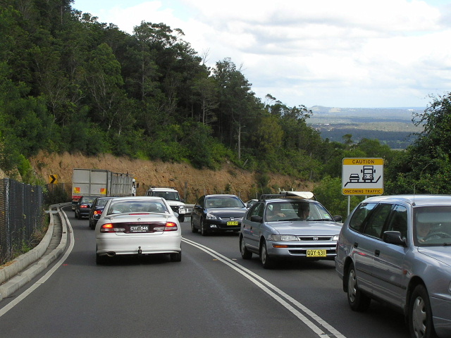
Looking north at Cambewarra Mountain. Like most of my SR79 pics, this was taken on Easter Monday 2005. Note the heavy traffic heading towards Sydney.
In 2013, RMS will be implementing a new alpha-numeric route numbering system. For more information, visit the RMS Website. |
||
Forthcoming alpha-numeric route number: |
(Aylmerton to Bowral, Sheepwash Road to Bomaderry) |
|
Length: 73km
Northern Terminus: Hume Hwy & Old Hume Hwy, Aylmerton
Southern Terminus: Princes Hwy & Cambewarra Mtn Rd, Bomaderry
Route taken: Old Hume Hwy, Bowral Rd, Mittagong Rd, Station St, Funston St, Bowral-Moss Vale Rd, Argyle St, Illawarra Hwy, Nowra Rd, Kangaroo Valley Rd, Cambewarra Mtn Rd
Focal Points: Sydney, Mittagong, Bowral, Moss Vale, Nowra
RTA Internal Classifcation: Main Road No. 260 (Hume Hwy to Illawarra Hwy), State Highway No. 25 (Illawarra Hwy), Unclassified Road (Illawarra Hwy to Sheepwash Rd), Main Road No. 261 (Sheepwash Rd to Princes Hwy)
Route Overview:
State Route 79 is a north-south route connecting the Princes Highway at Nowra with the Hume Highway near Mittagong. It is quite well patronised by tourist traffic, particularly in holiday periods when it is used as a short cut between the western suburbs of Sydney, the Blue Mountains and the South Coast. It is mostly 2-lane undivided although its recent extension north from Mittagong to Aylmerton is high standard four lane dual carriageways. The most notable landmark on the route is Hampden Bridge, a single-lane stone suspension bridge constructed in 1898 that spans the Kangaroo River at Kangaroo Valley.
State Route 79 was introduced in 1974 at the dawn of the NSW state route system, extending between National Route 1 (Princes Hwy) at Bomaderry and National Highway 31 (Hume Hwy) at Mittagong. It has since been extended north from Mittagong to Aylmerton following the opening of the Mittagong Bypass, although the exact timing of this extension is the subject of some conjecture. Signage installed upon opening of the bypass in August 1992 indicated that the old highway would take the State Route 89 shield - complementing existing sections of the old highway with the SR89 shield at Berrima and from Casula to Aylmerton. However, newer signage installed in the late 1990s indicates that State Route 89 has been abandoned south of Aylmerton in favour of the extension of State Route 79 and i believe this officially happened on 2 October 1996 - the date the old highway was reclassified as Main Road No. 260 (same as the Moss Vale-Mittagong section of SR79).
Recently, in March 2003, a $3 million project to realign curves at Cambewarra Mountain was completed. This involved the construction of a jersey barrier and the widening of shoulders in order to make the route safer and more attractive to heavy vehicles.
Notable events:
May 1898 - Hampden Bridge
1974 - State Route 79 introduced Bomaderry-Mittagong
Aug 1989 - Roundabout installed at the southern terminus, Bomaderry
2/10/1996 - SR79 extended north to Aylmerton
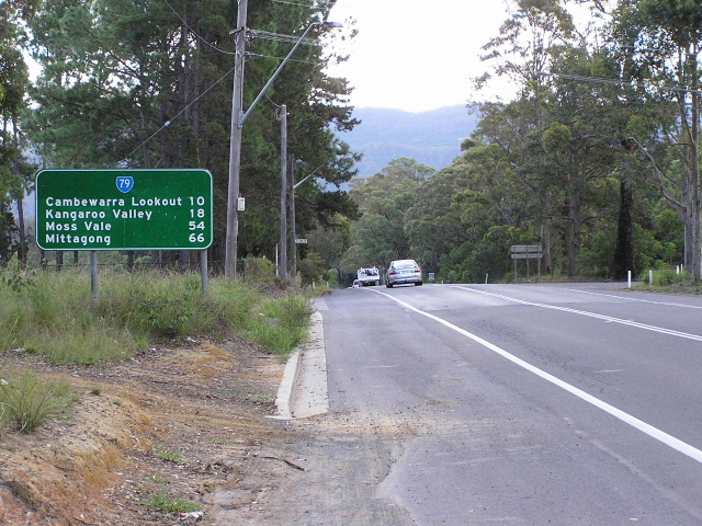
Mar 2003 - Cambewarra Mountain realignment
 |
Southbound on Princes Hwy approaching the start of SR79 at Bomaderry. Mar 2005. |
 |
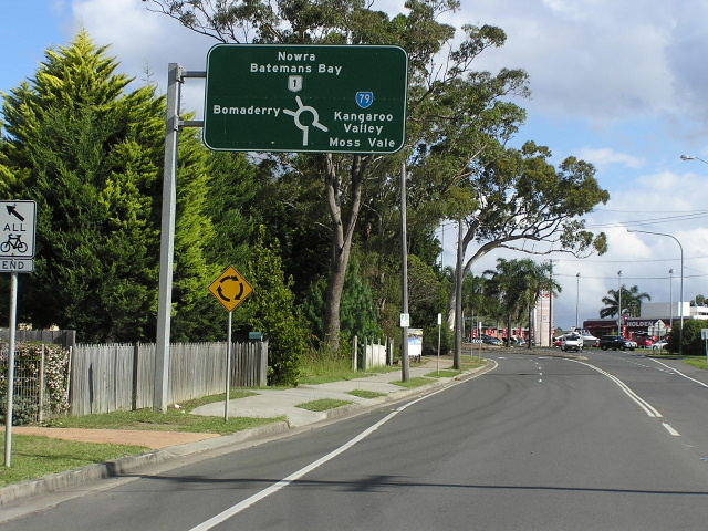
Heading north on Princes Hwy approaching the start of SR79 at Bomaderry. Mar 2005. |
Heading southeast on Cambewarra Mtn Rd approaching the end of SR79 at Princes Hwy, Bomaderry. Mar 2005. |
|
 |
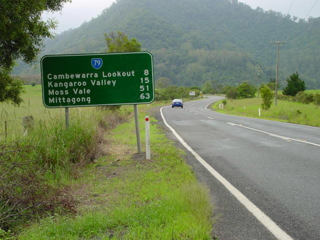
The first northbound RD sign on SR79, leaving Bomaderry. Mar 2005. |
 |
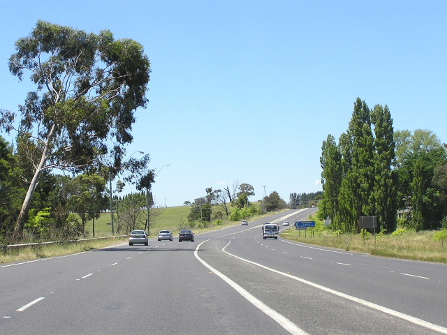
Heading north from Main Road at Cambewarra, with the Illawarra Escarpment in the background. Mar 2005. |
 |
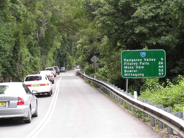
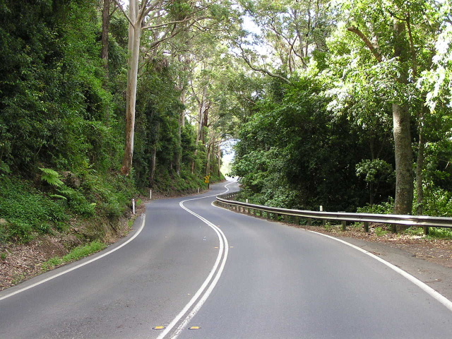
Descending the Illawarra Escarpment from Cambewarra Mountain. Mar 2005. |
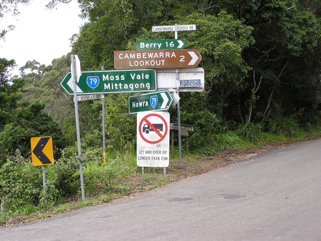 |
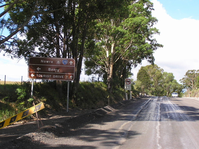
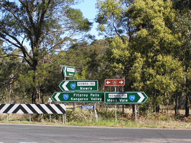
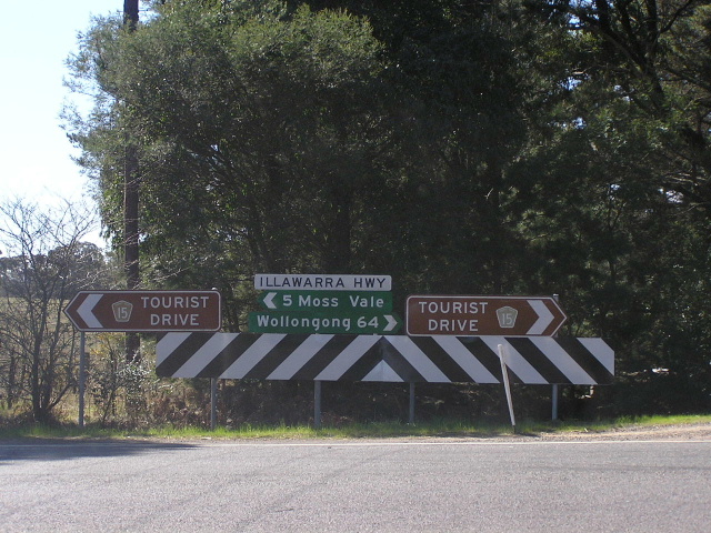
Assortment of directional signs at the top of Cambewarra Mountain. Mar 2005. |
 |
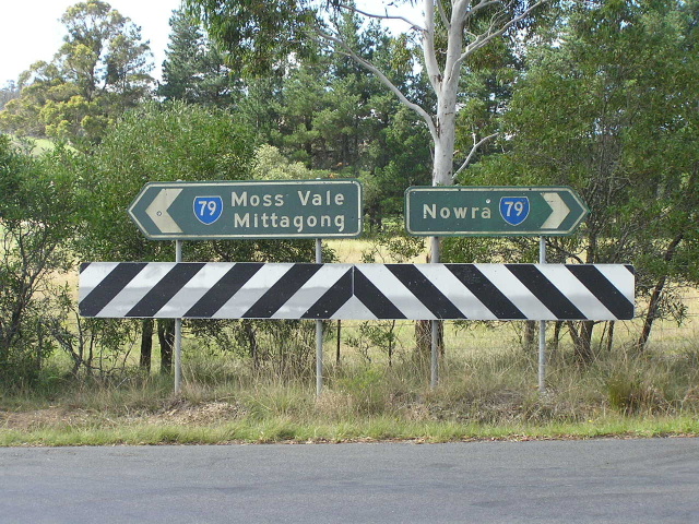
Looking south from the above intersection. Mar 2005. |
 |
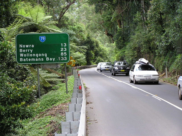
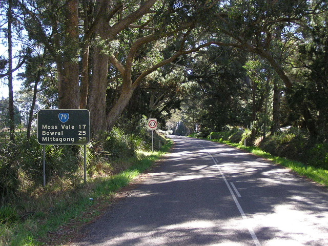
Looking south from Kangaroo Valley towards Cambewarra Mountain. Mar 2005. |
 |
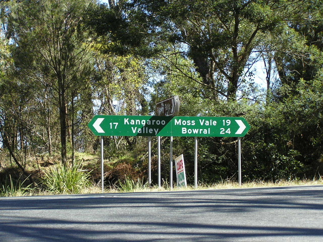
Unusual that this sign is all brown, at Kangaroo Velly Road. Mar 2005. |
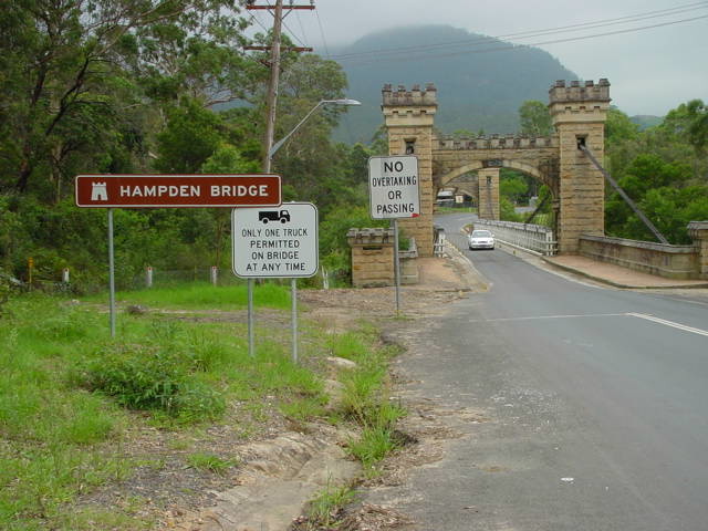 |
Historic Hampden Bridge (1898) in Kangaroo Valley. Mar 2005. |
 |
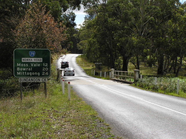
Heading south from Barrengarry. Mar 2005. |
 |
Looking north to Barrengarry Mountain. Mar 2005. |
 |
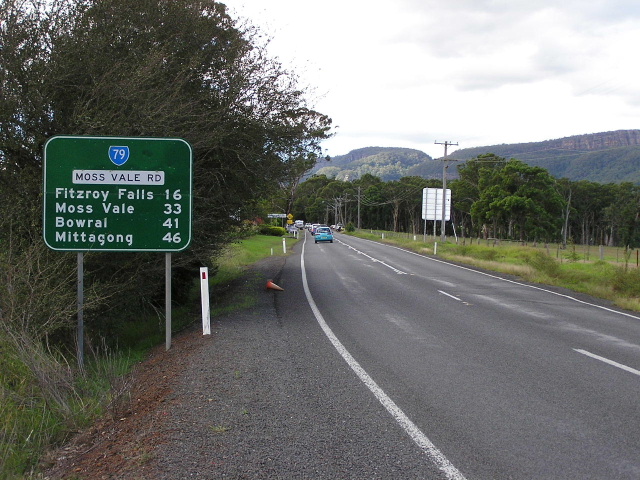
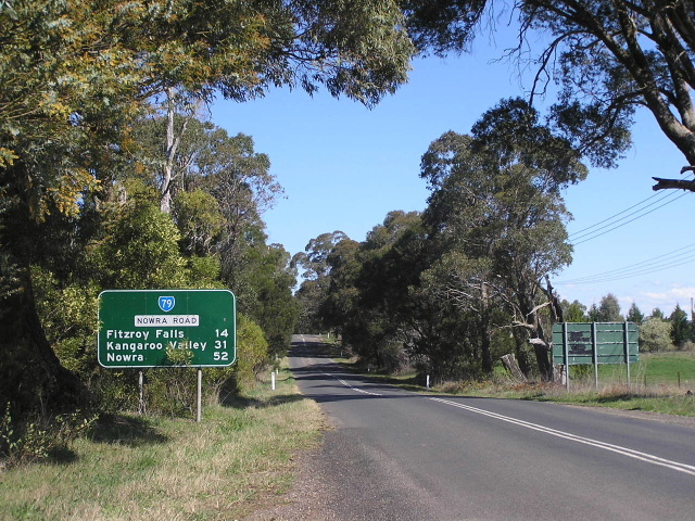
Looking north near Fitzroy Falls. Mar 2005. |
 |
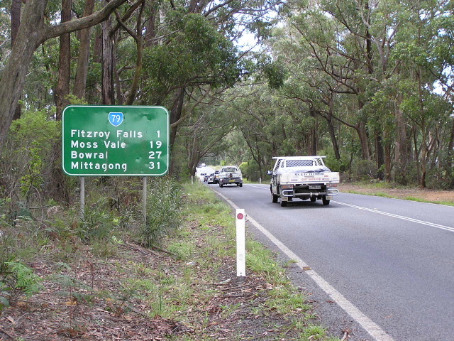
Fingerboard sign omitting a State Route 79 shield at the entrance to the Fitzroy Falls visitor centre. Sep 2006. |
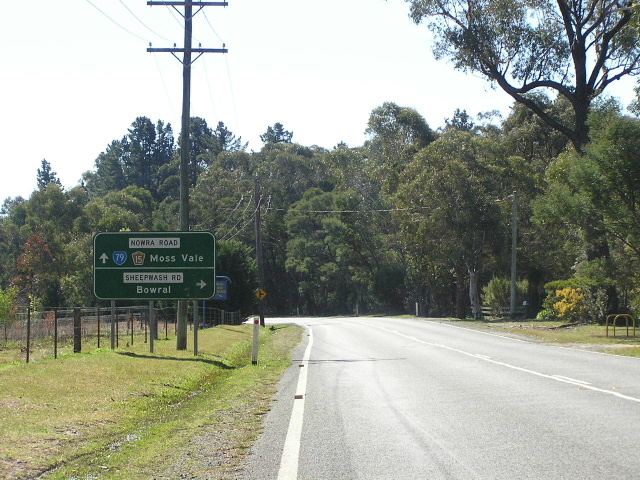 |
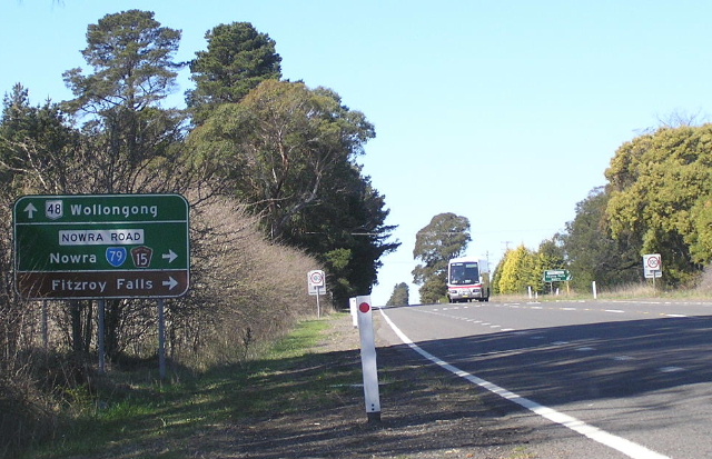
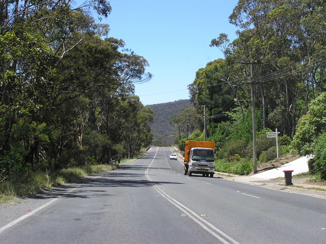
Looking north towards Sheepwash Rd, a shortcut for Bowral/Mittagong-bound SR79 traffic. Sep 2006. |
 |
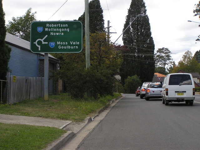
Oooh! So many signs! This sign assembly is facing southbound Sheepwash Rd traffic at its junction with Nowra Rd. Sep 2006. |
 |
Original painted standard green RD sign on an extremely narrow section of Nowra Road near Sheepwash Rd. Sep 2006. |
 |
More original signage on Nowra Rd, this time at Red Hills Rd. Mar 2005. |
 |
Looking north through Yarrunga along Nowra Rd. Mar 2005. |
 |
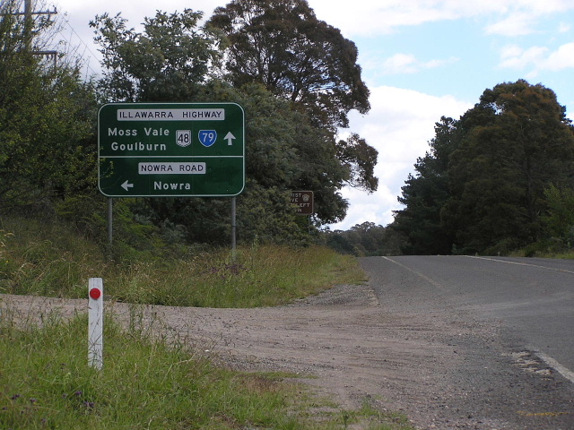
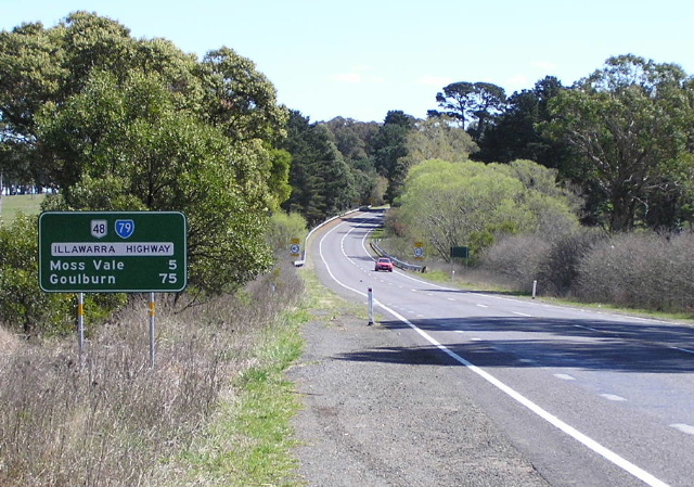
Looking south along Nowra Rd from the Illawarra Highway. Sep 2006. |
 |
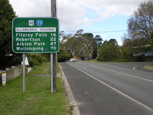
Illawarra Hwy westbound approaching the SR79 duplex near Moss Vale. Mar 2005. |
 |
Very non-standard sign assembly at the intersection of Illawarra Hwy & Nowra Rd. Note the omission of NR48 and SR79 shields. Sep 2006. |
 |
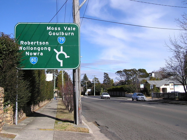
Illawarra Highway eastbound approaching Nowra Rd and the eastern split of the NR48/SR79 duplex. Note that the sign in foreground is nearly perfectly designed, yet the ID sign in the background is omitting all the route shields. Sep 2006. |
 |
Heading west along the NR48/SR79 duplex. Sep 2006. |
 |
Illawarra Highway looking east at Throsby Park, between Moss Vale and the junction with Nowra Road. The road branching off to the left is Throsby Park Drive, an old alignment of the Moss Vale-Albion Park road - it pre-dates proclamation of the Illawarra Highway. Sep 2006. |
 |
Heading east from Moss Vale along the NR48/SR79 duplex. Mar 2005. |
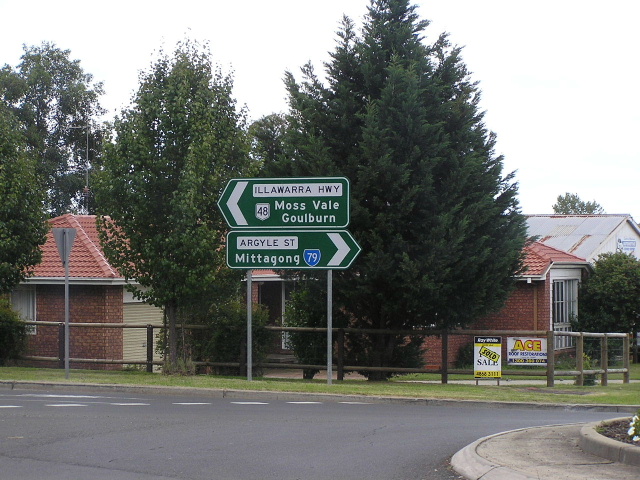 |
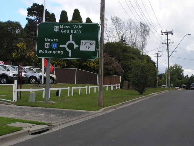
ID sign assembly facing westbound NR48/SR79 traffic at the junction of Illawarra Hwy, Argyle St & Suttor Rd in Moss Vale. This is the western split of the NR48/SR79 duplex. Mar 2005. |
 |
State Route 79 (Argyle St) southbound approaching the junction with Illawarra Highway in Moss Vale. Mar 2005. |
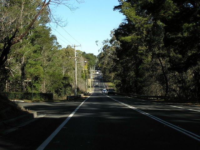 |
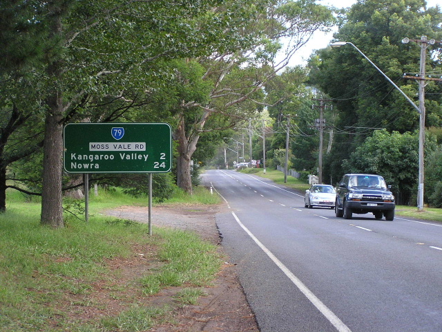
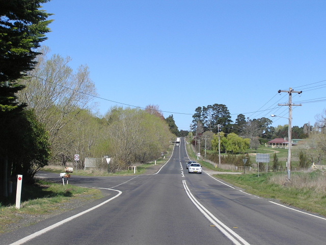
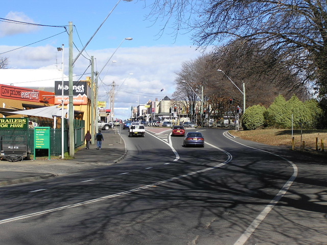
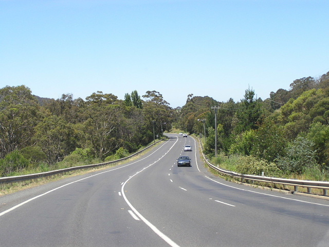
Looking south between Moss Vale and Bowral. July 2004. |
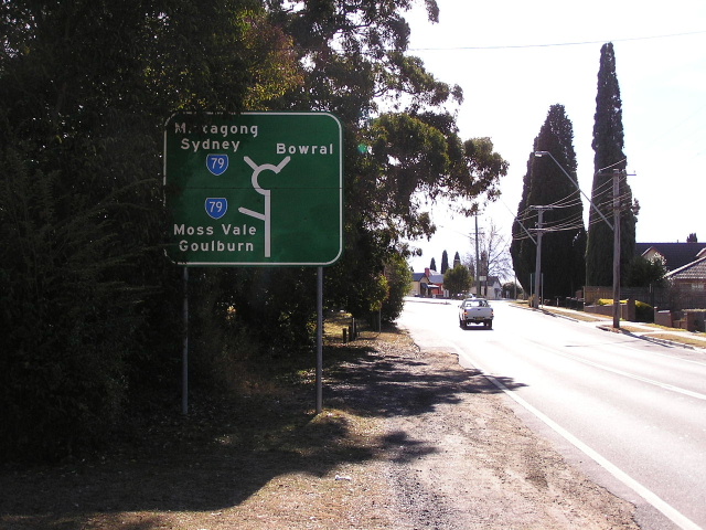 |
Unusual diagrammatic AD sign westbound on State Route 80 (Kangaloon Rd) approaching State Route 79 at Bowral. July 2006. |
 |
Looking south on Bong Bong St approaching SR79 and SR80, Bowral. July 2004. |
 |
Heading west on Funston St towards Kangaloon Rd and the start of SR80, Bowral. July 2006. |
 |
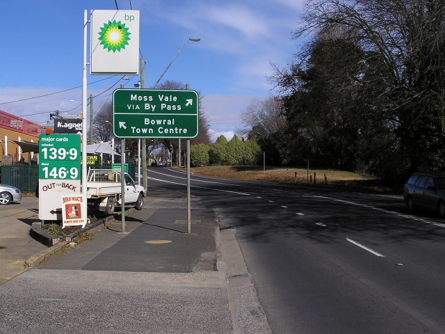
Looking south along Mittagong Rd towards Bowral Town Centre. July 2006. |
 |
Southbound on Mittagong Rd approaching Bong Bong St and Station St in Bowral. The original route of State Route 79 was via the town centre, however the current route via Station St has been in use since at least 1995. July 2006. |
 |
The northbound RD sign leaving Bowral on Mittagong Rd. Dec 2005 |
 |
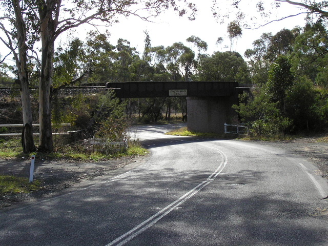
Looking north along Bowral Road between Bowral and Mittagong, approaching the bridge over the Main Southern Railway line. This section of road is a deviation constructed to eliminate a narrow underpass on a poor alignment. Dec 2005. |
 |
Looking north the railway overpass on Bowral Road in Mittagong. Dec 2005. |
 |
The narrow subway on a poor alignment that was bypassed by the deviation depicted in the above two photos, located on Old Bowral Road. July 2006. |
 |
Southbound RD sign leaving Mittagong. Dec 2005. |
 |
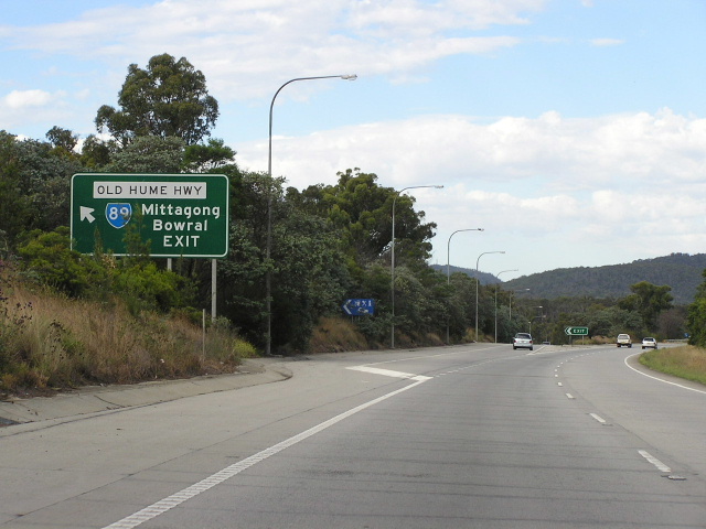
Old Hume Hwy (former NH31 and former SR89) heading east towards Bowral Rd. Note the lack of a SR79 shield for straight ahead, however I am still convinced SR79 extends north from Mittagong to the Hume Hwy at Aylmerton. Makes sense that way. Sep 2006. |
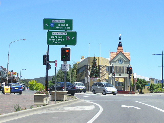 |
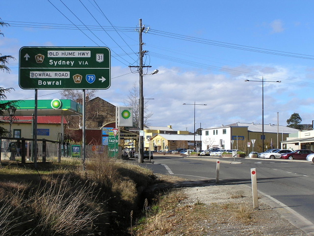
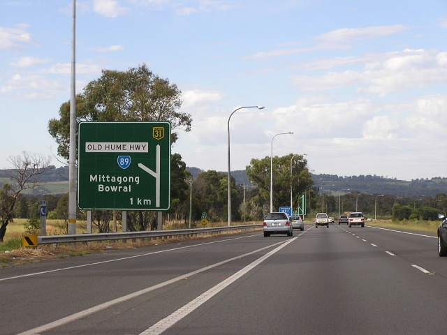
Sign assembly at the junction of Main Street (Old Hume Hwy) and Bowral Rd in Mittagong. This used to be the northern terminus of State Route 79. Dec 2005. |
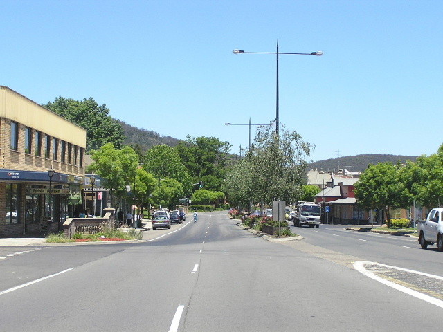 |
Looking south along Main Street (Old Hume Highway) in Mittagong. Dec 2005. |
 |
Old Hume Highway looking north at its crossing of the Nattai River on the northern outskirts of Mittagong. The distance sign in the background still shows a State Route 89 shield, despite its quiet replacement by State Route 79 in 1996. July 2006. |
 |
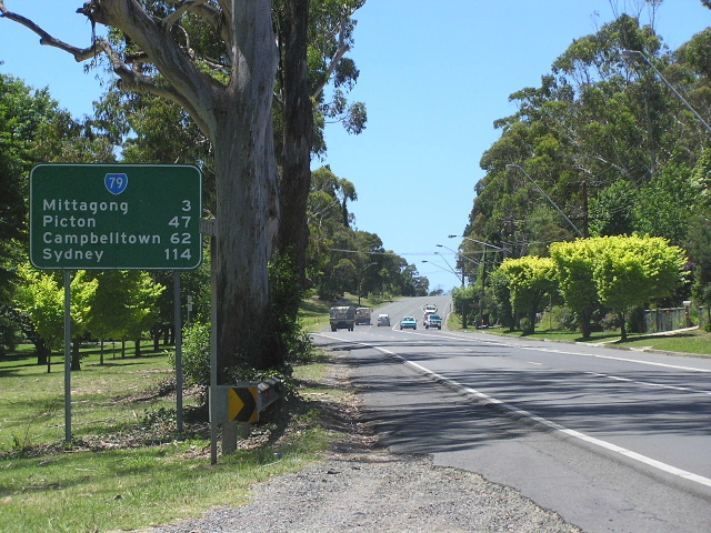
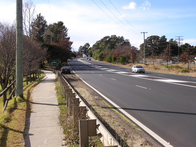
Old Hume Highway looking north through Balaclava, approximately 3km north of Mittagong. Dec 2005. |
 |
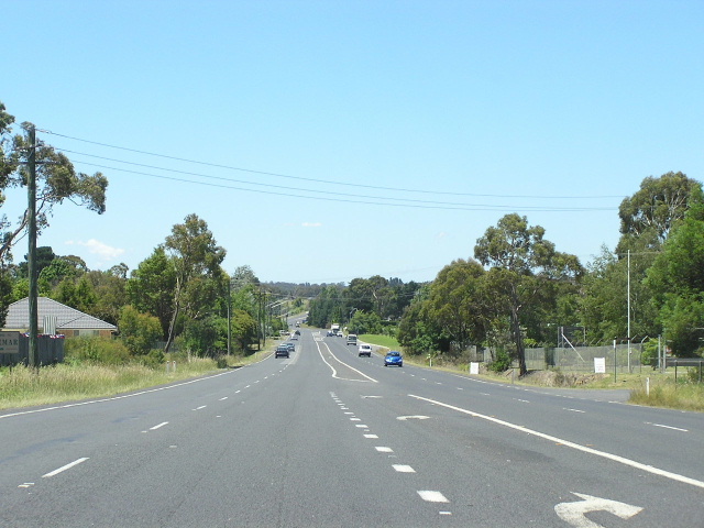
Old Hume Highway looking north at Braemar, approximately 5km north of Mittagong. Dec 2005. |
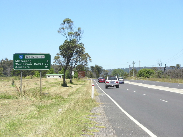 |
And here is the evidence behind my theory that SR79 has been extended to Alymerton, a State Route 79 RD sign southbound on Old Hume Hwy at Braemar. Dec 2005. |
 |
Southbound ID sign on Hume Highway at the exit for Old Hume Highway (State Route 79). Note that this sign still shows State Route 89 - there are no signs indicating State Route 79 exists at this interchange. Feb 2006. |
 |
Southbound AD sign on Hume Highway approaching the exit for Old Hume Highway (State Route 79). Note that this sign still shows State Route 89 - there are no signs indicating State Route 79 exists at this interchange. Feb 2006. |
Last updated 10 December 2012 © Ozroads 2003-2012. |