State Route 155 |
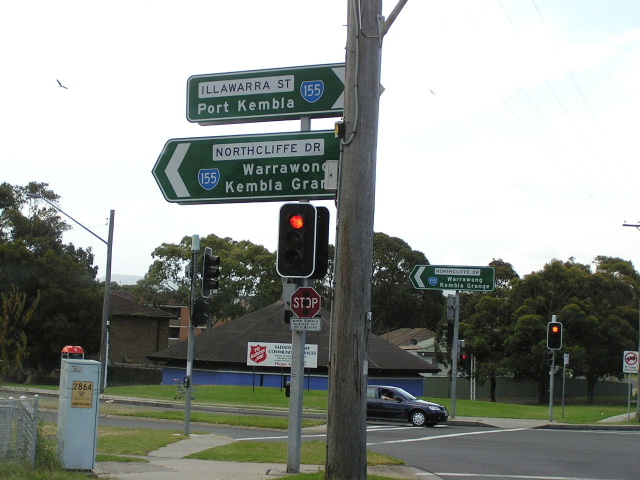
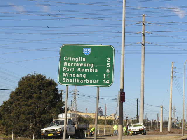
Perhaps over-zealous ID signage at the intersection of Illawarra St/Northcliffe Dr/Shellharbour Rd in Port Kembla. Dec 2004.
In 2013, RMS will be implementing a new alpha-numeric route numbering system. For more information, visit the RMS Website. |
RMS have advised that this route will be decommissioned and not replaced by an alpha-numeric route number. |
Length: 16km
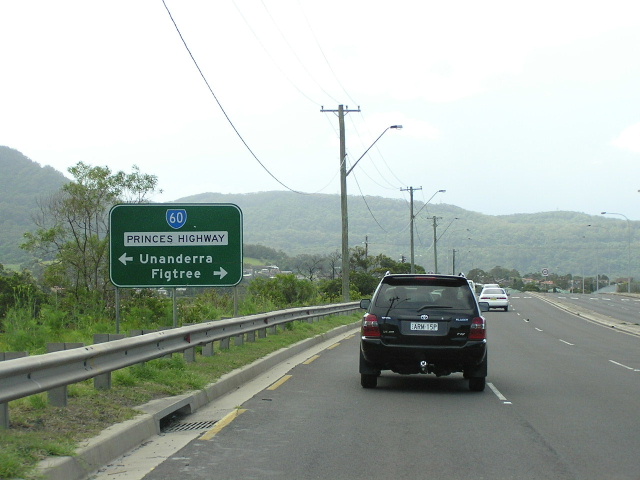
Northern Terminus: Princes Hwy & Five Islands Rd, Unanderra
Southern Terminus: Princes Hwy & Northcliffe Dr, Kembla Grange
Route taken: Five Islands Rd, Flinders St, Old Port Rd, Military Rd, Church St, Illawarra St, Northcliffe Dr
Focal Points: Unanderra, Port Kembla, Warrawong, Kembla Grange
RTA Internal Classification: Main Road No. 295 (Port Kembla to Unanderra), Main Road No. 613 (Warrawong to Kembla Grange)
Route Overview:
State Route 155 is an unusual route in two ways. Firstly it forms a loop between the Princes Highway at Unanderra to the Princes Highway at Kembla Grange by way of Port Kembla and Warrawong. Secondly, signage indicates that it has two different alignments in the Port Kembla region. Between the intersection of Military Rd & Old Port Rd & Five Islands Rd at Port Kembla and the intersection of Five Islands Rd & Flinders St at Port Kembla North signage indicates that SR155 takes both Five Islands Road *AND* Old Port Rd/Flinders St. Requests for clarification from the RTA have proved fruitless. Further to the confusion, the original 1974 alignment of SR155 did not enter Port Kembla, instead turning north from Northcliffe Dr onto King St at Warrawong and thus continuing north onto Five Islands Road. It is unclear when this was changed, however, the current signage dates from around 1996-98.
The Five Islands Road section of SR155 is high-standard six lane dual carriageway, constructed in the mid-1970s in conjunction with the F6 Freeway. The railway overpass at Unanderra was opened in the late 1970s, replacing the adjacent level crossing. Flinders St, Old Port Rd, Military Road, Church St and Illawarra St are all two-lane single carriageway roads and Military Road still retains its 1930s concrete surface. Northcliffe Drive is a bit of a mixed bag with dual carriageways at either end separated by a 2km section fo single carriageway along the Warrawong and Lake Heights foreshores.
Notable Events:
1930 - Military Road constructed in cement concrete
1974 - Route introduced, bypassing Port Kembla via King Street
1976 - Five Islands Road widening completed
Late 1970s - Unanderra railway overpass
 |
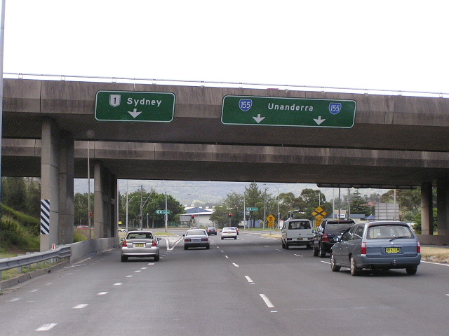
Southbound on Princes Highway approaching the beginning of SR155 (Five Islands Rd) in Unanderra. July 2004. |
 |
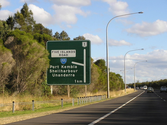
Heading west on Five Islands across the South Coast Railway towards SR155's terminus at Princes Hwy. July 2004. |
 |
Looking south on the F6 approaching Five Islands Road (SR155). July 2004. |
 |
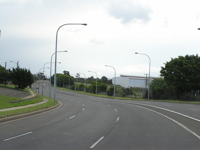
Looking west along Five Islands Rd under the F6 overpass. Dec 2004. |
 |
Freeway green signage for the F6 on Five Islands Rd. Dec 2004. |
 |
AD signage for Glastonbury Ave intersection. I'm quite a fan of this clean, crisp and concise style of signage, typical to the Newcastle and Illawarra regions during the early 1990s. July 2004. |
 |
Looking west along Five Islands Road towards the freeway. Note the unusual diagrammatic AD sign. Dec 2004. |
 |
The only RD sign on Sr155, heading east from the F6. July 2004. |
 |
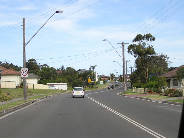
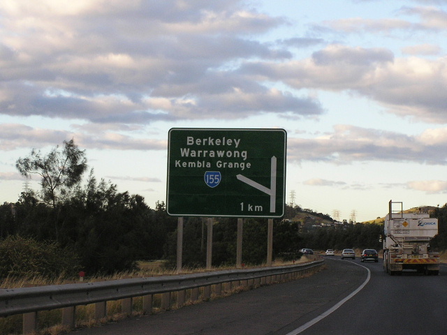
Heading south on Springhill Rd approaching SR155. Dec 2004. |
|
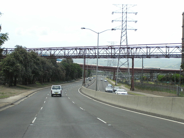
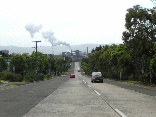
Looking east along Five Islands Rd through the Port Kembla Steelworks. Dec 2004. |
 |
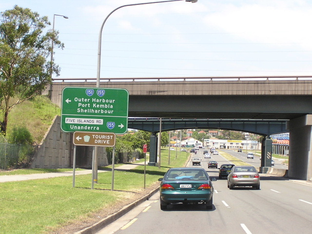
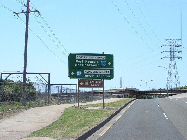
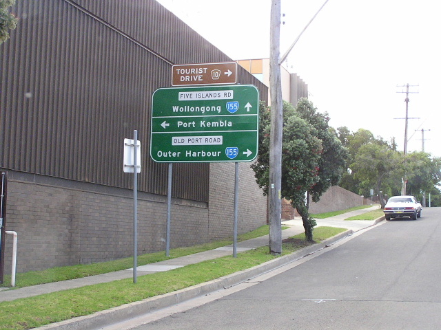
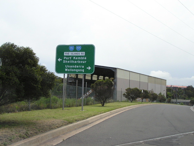
AD signs showing the split of SR151/155 at Flinders St, although some signs show SR155 heading straight here aswell. Dec 2004. |
 |
Westbound on Flinders St approaching Five Islands Rd. Dec 2004. |
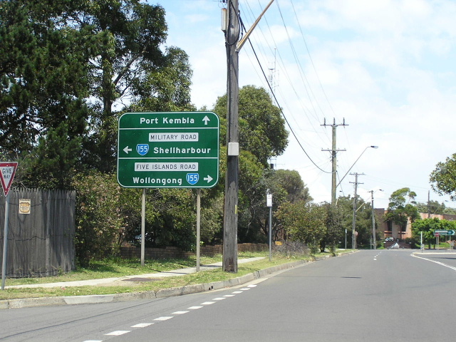 |
Southbound on Old Port Road approaching Five Islands Rd and Military Rd in Port Kembla. Note that SR155 is signposted both left and right, while Old Port Rd is also signposted as Sr155. Confusing! Dec 2004. |
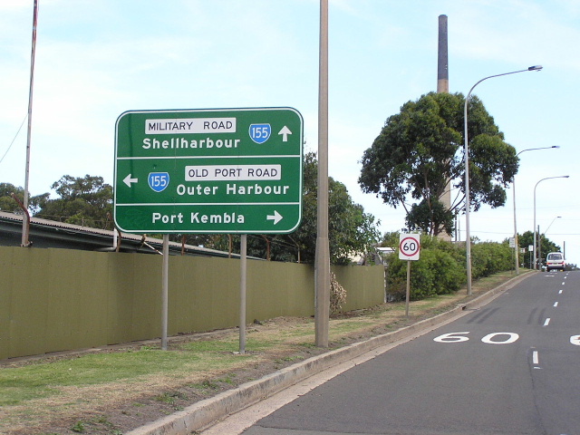 |
Same intersection, this time heading south on Five Islands Rd. Same problem, the three way split. Dec 2004. |
 |
Same intersection again, this time heading north on Military Rd. Dec 2004. |
 |
AD sign eastbound on Wattle St approaching King St & Five Islands Rd at Port Kembla. Now interestingly SR155 is shown straight, but not left or right so I'm still confused as to which way this route goes. Thank god no-one in Australia navigates by route markers or we would all be stuffed! :p (Dean Jones) |
 |
Heading west on Five Islands Rd towards King Street. Dec 2004. |
 |
Looking north along Military Rd in Port Kembla. Dec 2004. |
 |
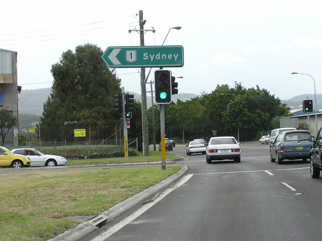
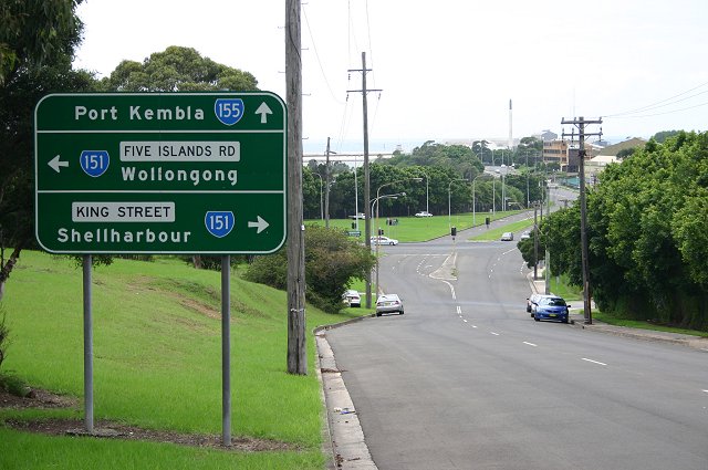
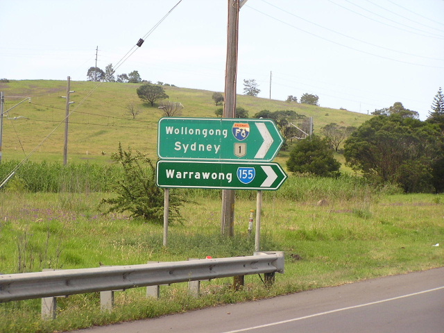
Signage northbound on Sr151 for SR155 at Warrawong. Dec 2004. |
 |
Looking east on Northcliffe Drive in Warrawong. Dec 2004. |
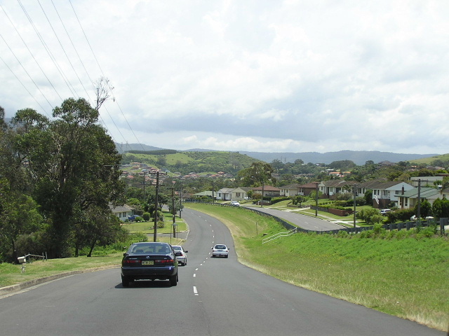 |
Looking east on Northcliffe Drive through Lake Heights. Dec 2004. |
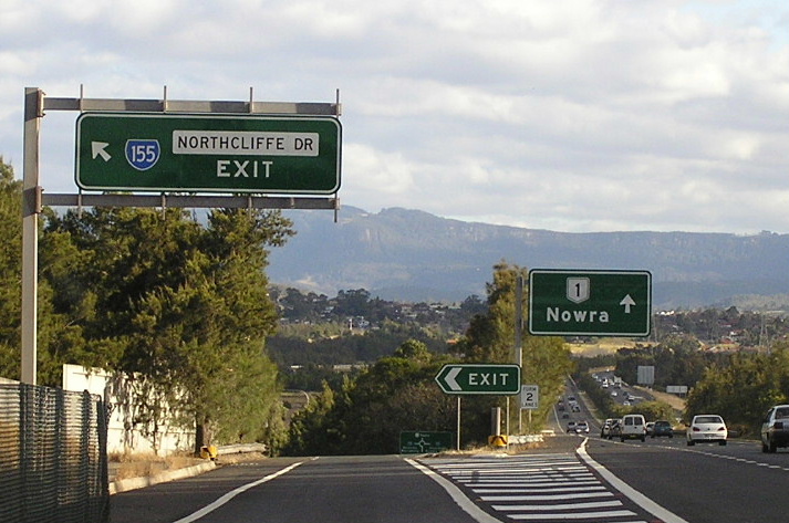 |
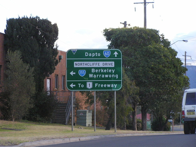
Signage southbound on the F6 for Northcliffe Drive. July 2004. |
 |
Older style freeway AD sign northbound on the F6, approaching Northcliffe Drive. July 2004. |
 |
ID signs, with a remnant F6 shield, at the Northcliffe Drive/Princes Hwy intersection, Kembla Grange. July 2004. |
Last updated 12 December 2012 © Ozroads 2003-2012. |