State Route 151 |
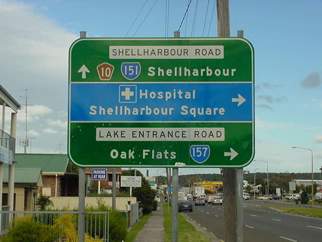
Southbound on Shellharbour Road at Warilla approaching Lake Entrance Road (SR157), July 2004.
In 2013, RMS will be implementing a new alpha-numeric route numbering system. For more information, visit the RMS Website. |
|
Forthcoming alpha-numeric route number: |
|
Length: 25km
Northern Terminus: Princes Hwy & Bourke St, North Wollongong
Southern Terminus: Princes Hwy & Shellharbour Rd, Dunmore
Route taken: Bourke St, Kembla St, Corrimal St, Springhill Rd, Five Islands Rd, King St, Primbee Deviation, Windang Rd, Shellharbour Rd
Focal Points: Wollongong, Port Kembla, Warrawong, Shellharbour, Nowra
RTA Internal Classification: Main Road No. 522 (Dunmore to Five Islands Rd), Main Road No. 295 (Five Islands Rd), Main Road No. 581 (Five Islands Rd to North Wollongong)
Route Overview:
State Route 151 is a major north-south route in urban Wollongong, running from north of the CBD to the Princes Highway south of Shellharbour. It serves the rapidly expanding Shellharbour urban area as well as the major industrial complex at Port Kembla. A number of improvements to the route have been undertaken over the years although I am lacking dates. From north to south the more notable improvements have been: realignment around Wollongong CBD from Keira St to Corrimal St (probably 1960s); construction on a new alignment to the west of the Inner Harbour and steelworks area; King Street deviation through Warrawong; Primbee Deviation; and Shellharbour Deviation (1980). It is also interesting to note that south of Shellharbour, the route was originally the Princes Highway - from 1920 to 1931.
State Route 151 was introduced in 1974 and has since had no changes of alignment, other than those listed above.
Notable Events:
Dec 1971 - Northbound carriageway of bridge over Lake Illawarra
Sep 1972 - Southbound carriageway of bridge over Lake Illawarra
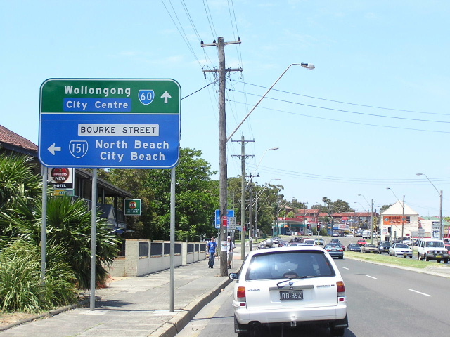 |
Looking south on SR60 (Princes Hwy), approaching the beginning of SR151 in North Wollongong. Dec 2004. |
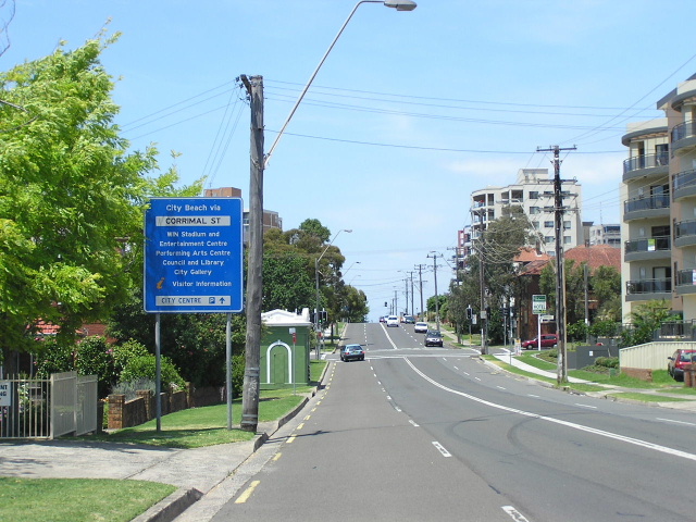 |
Looking south along Corrimal Street in Wollongong. Dec 2004. |
 |
Southbound on Corrimal Street approaching Port Kembla Rd. Dec 2004. |
 |
Looking south through Coniston, on the northern extremity of the Port Kembla Steelworks. Dec 2004. |
 |
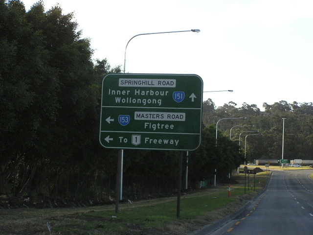
Interesting gantry signage, installed in 1990, for the intersection with Masters Road, the major access road from the Steelworks to the F6 Freeway. Dec 2004. |
 |
More conventional northbound AD sign for Masters Road. July 2004. |
 |
The replacement for the conventional northbound AD sign. Feb 2006. |
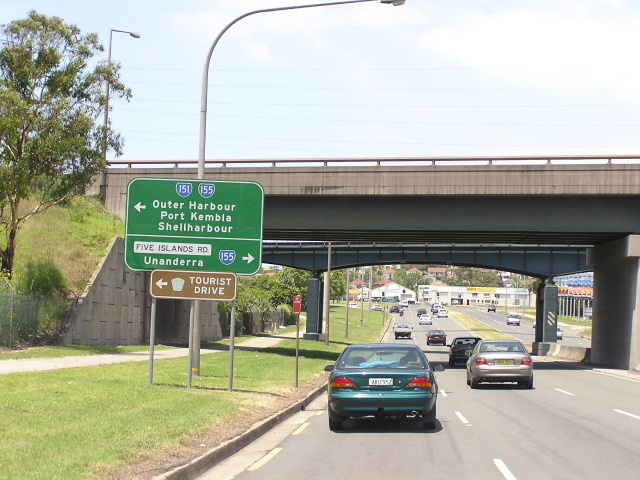 |
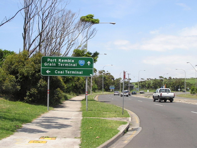
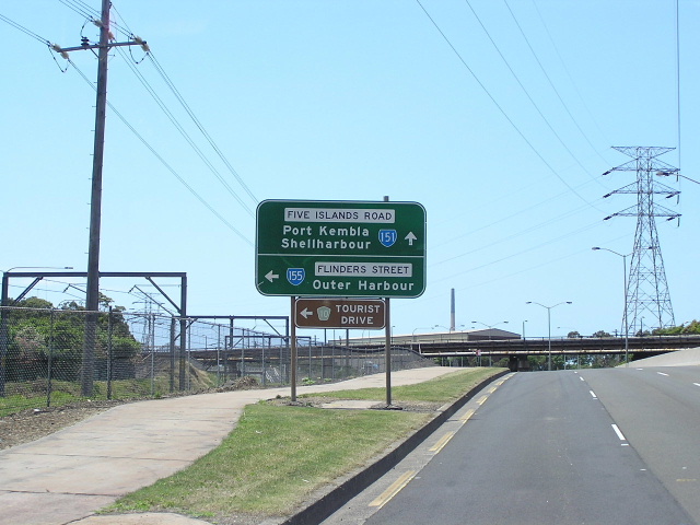
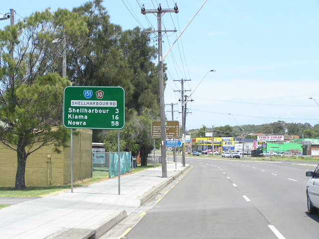
Heading south approaching Five Islands Road (SR155). Dec 2004. |
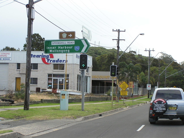 |
This sign, facing nb SR151 or wb SR155 traffic is the only mention of SR151's right turn at this intersection - quite a worry if you are not sure where you are going. Dec 2004. |
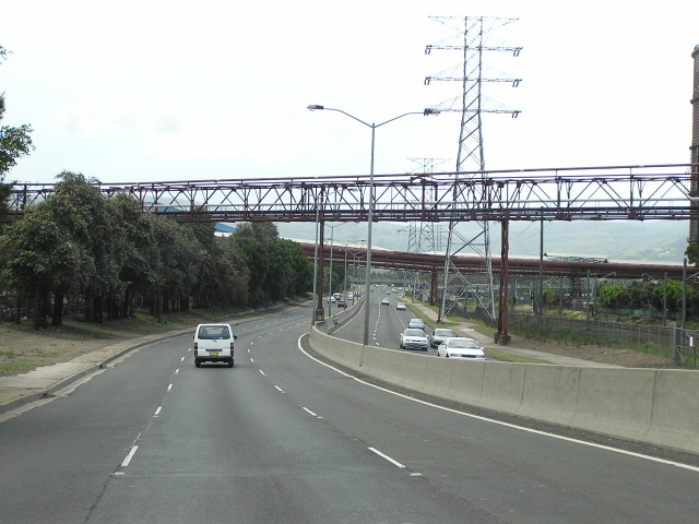 |
Looking east along Five Islands Road adjacent to the Steelworks. The jersey barrier was installed in the mid-1990s. Dec 2004. |
 |
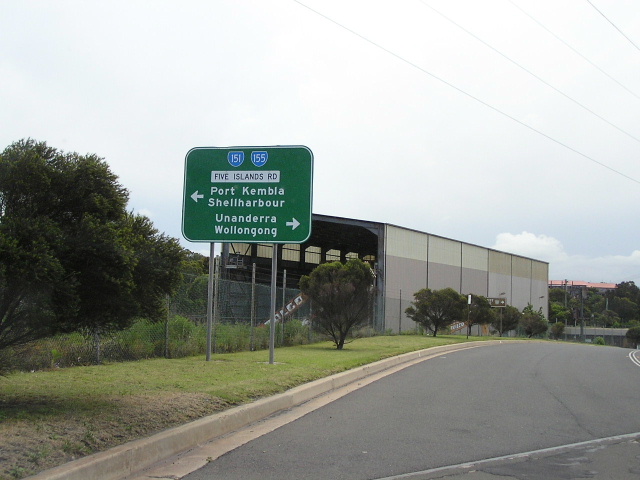
Approaching one of the splits of the SR151/155 duplex. According to other signs at the intersection, SR155 also continues straight. Confusing! Dec 2004. |
 |
An example of such a sign - this one is westbound on Flinders St (Sr155), approaching Five Islands Rd (SR151/155). Dec 2004. |
 |
Looking south along King Street through Warrawong. Dec 2004. |
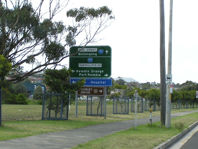 |
Northbound AD signage for the King St/Northcliffe Dr intersection. Dec 2004. |
 |
New ID sign at the junction of Shellharbour Rd and King St, Kemblawarra. Note the SR151 shield is on a coverplate over an alpha-numeric route marker. Jan 2005 (Dean Jones) |
 |
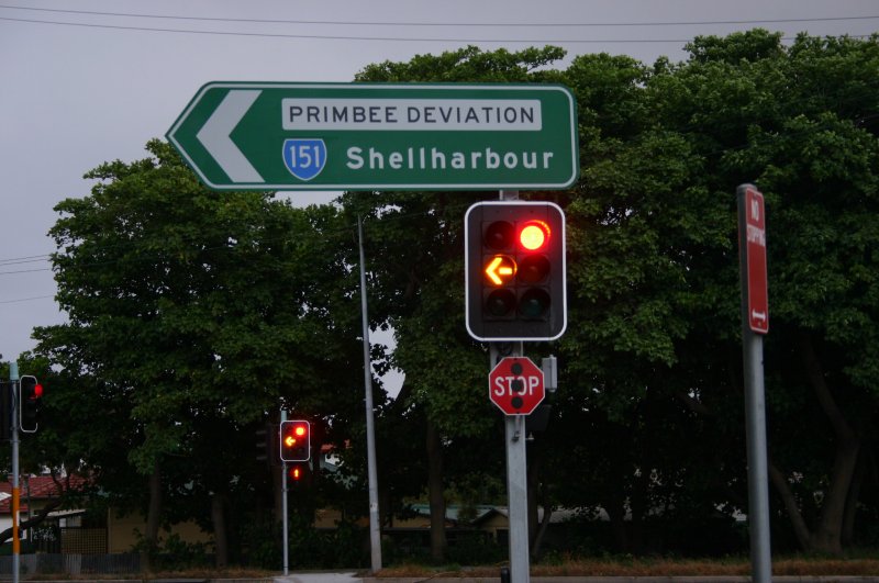
Looking north along the Primbee Deviation. Dec 2004. |
 |
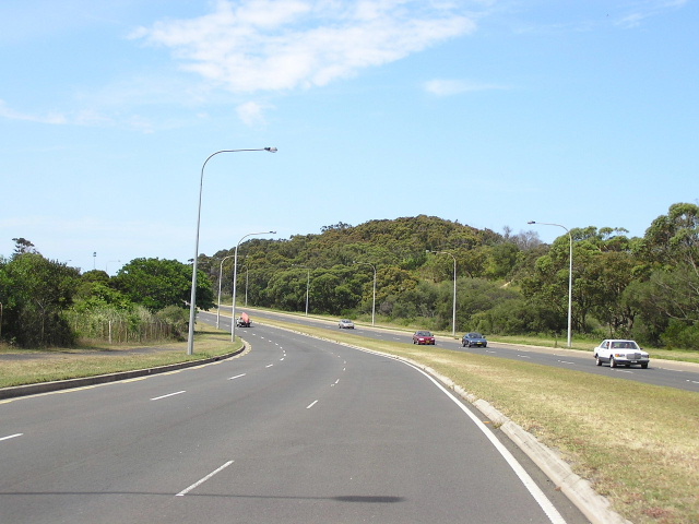
Looking north through Windang. Feb 2006. |
Aerial view showing the replacement of the bridge across Lake Illawarra underway. 1971. (DMR) |
|
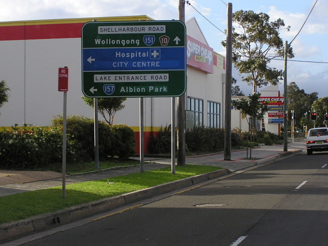 |
Northbound AD signs for Lake Entrance Rd (SR157). Mar 2005. |
 |
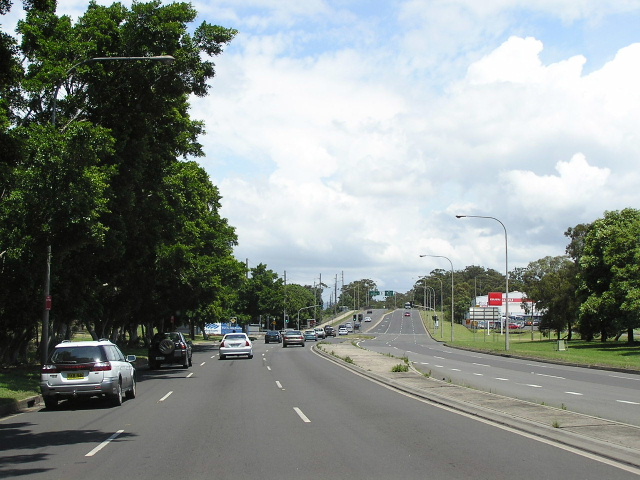
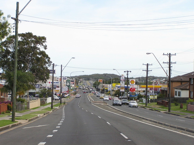
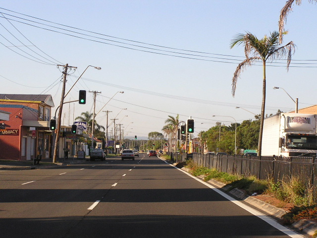
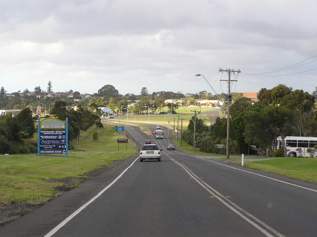
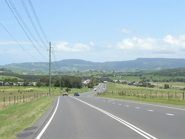
Southbound on Shellharbour Road from Warilla. Dec 2004. |
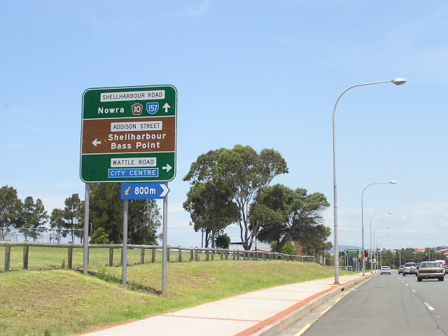 |
Signage for the Wattle Rd/Addison St intersection in Shellharbour. It is interesting to note how the centre of Shellharbour has shifted over the years from here to Blackbutt. Wattle Rd and a small section of Addison Street were also originally part of the Princes Hwy (1920-31). Dec 2004. |
 |
Looking north to the original Shellharbour town centre. See the old road forking off to the right, originally Main Road No. 522 passed throguh the middle of Shellharbour along Addison Street and Mary Street. Mar 2005. |
 |
Looking south along Shellharbour Road through the soon-to-be-subdivided Shell Cove area. Dec 2004. |
 |
Looking north along Shellharbour Rd from SR151's southern terminus at Dunmore Railway Station. Mar 2005. |
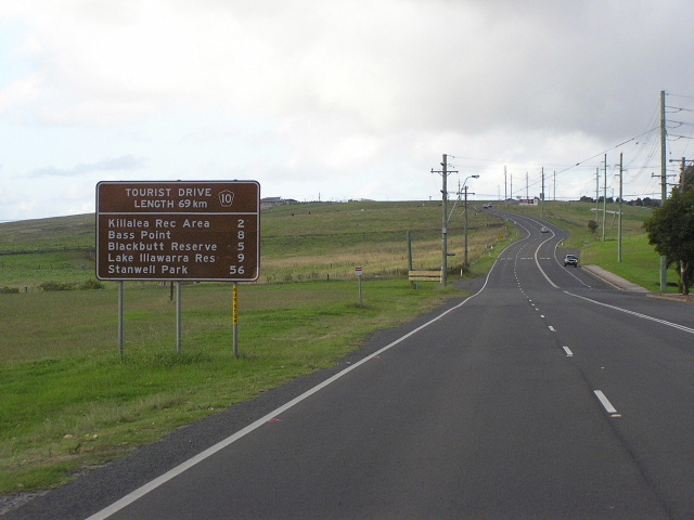 |
Tourist Drive 10 RD sign heading north through Dunmore. Mar 2005. |
 |
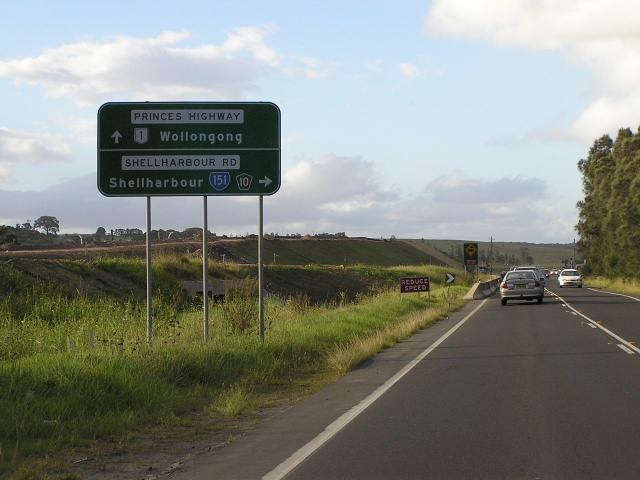
Heading south on SR151 approaching its terminus at the Princes Highway. Dec 2004. |
 |
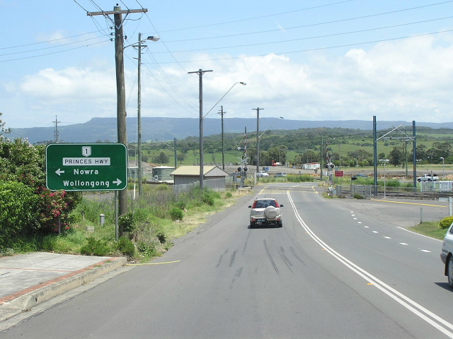
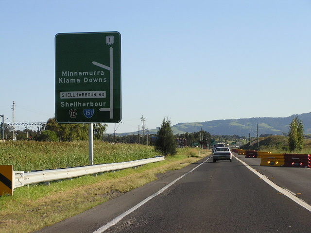
Heading north on the Princes Hwy approaching SR151 at Dunmore, prior to opening of the North Kiama Bypass. Mar 2005. |
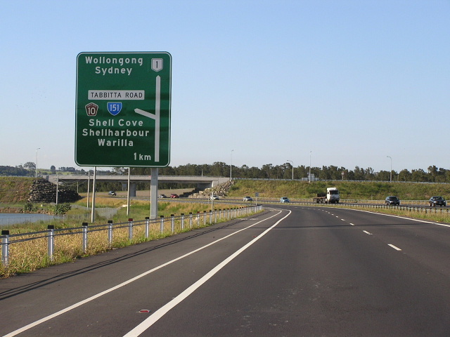 |
Northbound AD sign on Princes Hwy approaching the beginning of SR151 at Dunmore. Feb 2006. |
 |
Southbound AD sign on Princes Hwy approaching the beginning of SR151 at Dunmore. Feb 2006. |
Last updated 12 December 2012 © Ozroads 2003-2012. |