NSW State Route 123 State Highway No. 23 - Newcastle Inner City Bypass |
Looking north from Warners Bay Rd on the West Charlestown Bypass. June 2003.
In 2013, RMS will be implementing a new alpha-numeric route numbering system. For more information, visit the RMS Website. |
|
Forthcoming alpha-numeric route number: |
|
Length: 17km
Northen Terminus: Pacific Highway & Wallsend Rd, Sandgate
Southern Terminus: Pacific Highway & West Charlestown Bypass & Lake St, Bennetts Green
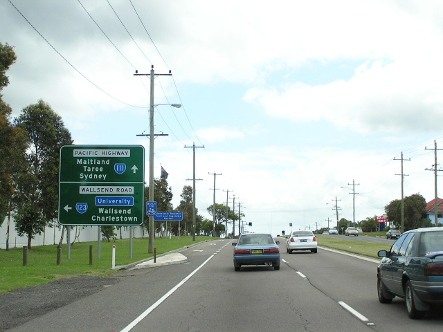
Route taken: West Charlestown Bypass, Charlestown Rd, Lookout Rd, Croudace St, Newcastle Rd, Jesmond-Shortland Relief Route, Sandgate Rd, Wallsend Rd
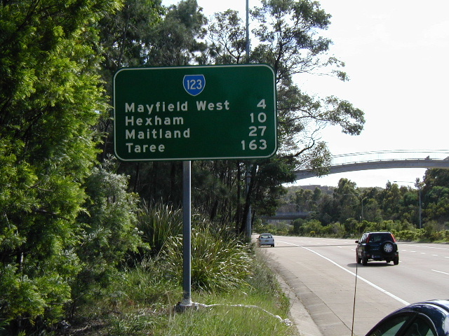
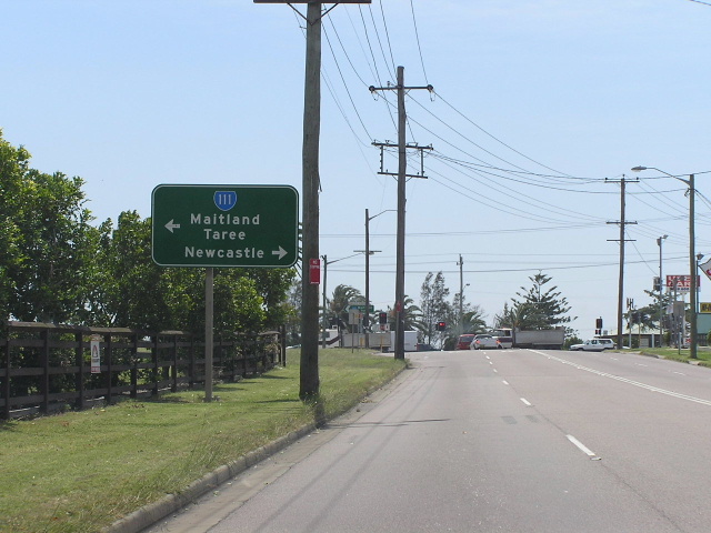
Focal Points: Belmont/Sydney, Charlestown, Maitland/Taree
RTA Internal Classification: State Highway No. 23
Proclaimed as highway: August 1946
Route Overview:
State Route 123 is the highway known simply as "State Highway No. 23" because it has no name! Its unofficial name is the Newcastle Inner City Bypass, a purpose which it serves via a complex of expressway grade roads and upgraded arterial roads. The highway has a rich history and is still yet to be constructed to the ultimate standard so prescribed in the Northumberland County Council's plan of 1952. The route was introduced in 1974 at the same time as the other NSW state routes.
The highway traces its origins to a collection of local roads constructed by the various local councils that made up the Newcastle area until 1939 when Newcastle City Council was incorporated. In 1938 the Commissioner for Main Roads approved the setting up of a Metropolitan Committee to review the Main Roads systems in each of the three major urban areas of NSW; Sydney, Wollongong and Newcastle. A start was made, but wartime efforts necessitated the postponing of the review. The DMR recommenced the investigations in 1943 with comprehensive surveys to establish present and future traffic patterns and growth. In 1946 a plan for the gradual development and expansion of the arterial road system was adopted by the DMR in conjunction with Newcastle City Council and Lake Macquarie Shire Council. The key feature of this plan was a new State Highway (No. 23) that bypasses the inner area of Newcastle from Charlestown in the south to Sandgate in the north. This new highway was gazetted in August 1946. Two years later the Northumberland County Council was established to prepare a plan for development of the Northumberland County District (including Newcastle) and the plan was exhibited in June 1952. The plan provided for an expressway standard alignment of State Highway No. 23 from the Pacific Hwy at Sandgate, south alongside the Steelworks Golf Club and the (then proposed) Newcastle University, south through the Rankin Park (now John Hunter) Hospital; a portion of Blackbutt Reserve and bypassing Charlestown to the west to meet an expressway-grade Pacific Hwy at Bennetts Green. This reservation was gazetted in 1960 when the Northumberland County District Town and Country Planning Scheme became law.
The initial alignment of State Highway No. 23 was from the intersection of Pacific Highway & Charlestown Rd, Charlestown via Charlestown Rd, Lookout Rd, Croudace St, Newcastle Rd, Blue Gum Rd, Moore St, Vale St, Sandgate Rd and Wallsend Rd to the intersection of Pacific Hwy and Sandgate Rd, Sandgate. These roads, with the exception of the short section of Newcastle Rd used, were all narrow two-lane roads not designed to carry inter-regional and long distance traffic. The first improvement to the route was effected during December 1966, the intersection of Pacific Highway and Charlestown Rd being reconstructed from an open-mouthed junction to a channelised and signalised intersection.
Also during 1966 the Department of Main Roads unveiled its detailed plans for the exact alignment of proposed ultimate motorway-standard construction of State Highway No. 23. The most contentious issue was a 1.2km section which passed through the western extremity of Blackbutt Reserve, which attracted widespread opposition from community groups and a study was undertaken by the Federal Government's Standing Committee on Environment and Conservation. The to-and-fro between the DMR, the community and the council began in July 1966 when DMR announced its decision to route State Highway No. 23 through a portion of Blackbutt Reserve. The Council approved the proposed route in August 1966. In March 1967, it rescinded this approval in favour of further discussion and consideration. In July 1967 the Council reaffirmed its earlier decision to proceed with the proposal for the freeway to pass through the reserve. In March 1972 the Council again withdrew its support from the DMR proposal and instead suggested the upgrading of Lookout and Charlestown Roads to cope with a speed of up to 45 mph (now 80km/h). At a meeting in May 1973, Council again confirmed its 1966 decision to approve the DMR proposals. This decision was confirmed at the following Council meeting. There was obviously some considerable indecision over both the whole concept of the freeway and the specific route at local government level since the proposal was first introduced. The Federal Government's report on the 'Impact of State Highway No. 23 on Blackbutt Reserve' was rather unfavourable, pointing out the visual destruction the freeway would cause on the reserve, the freeway having to pass through a deep cutting and across a high viaduct near the most popular picnic area in the park. The report also pointed out that a significant segment of the park would be isolated from the main section by the freeway propsal. A map of the Blackbutt Reserve section of SH No. 23 can be viewed HERE. One of the reasons the DMR was so persistent with the plan to upgrade State Highway No. 23 to is that it was to be the major route through Newcastle for through traffic. In June 1976 the DMR adopted a National Highway route to the west of Lake Macquarie and thus was able to abandon the propsed route of SH23 through Blackbutt Reserve.
The first section of the proposed motorway, between Newcastle Rd at Jesmond and Sandgate Rd at Shortland, was approved in January 1981 and construction was commenced in May 1984. This section of motorway bypasses the narrow and congested 2-lane sections of Blue Gum Rd, Moore St, Vale St and Sandgate Rd. A 'volleyball' interchange was provided at University Drive as part of the project, with provision made for grade-separated interchanges at both Newcastle Rd and Sandgate Rd when the motorway is extended. This project, officially known as the "Jesmond to Shortland Relief Route", was opened to traffic in June 1993.1 The motorway itself has yet to be given a name, maps showing "State Highway No. 23" if they show any name for the route at all.
Meanwhile, construction of dual carriageways was underway through New Lambton Heights and Kotora South along Lookout and Charlestown Rd. The upgraded sections are those that would have been bypassed by the Blackbutt Reserve section, abandoned in July 1976. The Charlestown Rd dual carriageways (Park Ave to Cardiff Rd) were completed in December 1984 while the Lookout Rd dual carriageways (Cardiff Rd to John Hunter Hospital) were completed in June 1987.
The next section of the highway requiring an upgrade was the narrow and congested southern portion of Charlestown Rd. Traffic volumes of over 30,000 vpd were recorded on the 2-lane section between Myall Rd and Hilsborough Rd and considerable local/through traffic conflict was being experienced through the Charlestown CBD. An EIS for the 'West Charlestown Bypass' to be constructed along the existing reservation between Pacific Hwy at Bennetts Green and Park Ave, Kotara was exhibited in December 1986. A lack of funding held up construction of the bypass until the late 1990's. An updated EIS was exhibited in 1997 before construction commenced a year later. What was meant to be a 2 year construction period turned into 5 as severe flooding due to heavy rain and unexpected mine subsidence wreaked havoc with construction. The bypass was finally opened to traffic in March 2003.
In September 2002 detailed plans were released for the section of motorway between Sandgate Rd and Pacific Hwy at Sandgate, including bridges across the Shortland Wetlands. Following a number of years where many in Newcastle were wondering if the road would ever be built, pre-construction work commenced in June 2010 with main construction activities commencing in 2011. The RTA website has a good project page and photo gallery - check it out if you want to keep an eye on progress.
The construction of a new route between Grandview Rd and Newcastle Rd has also been placed on the backburner, previously there was some objection to the route passing through the grounds of John Hunter Hospital. However, the reservation for the road has existed since 1960, long before the hospital was expanded to its present size.
In the meantime, minor upgrades along the route have taken palce to help it cope with current traffic volumes. These include: an extended northbound right-turn lane at Carnley Ave, construction of a signalised intersection at McCaffrey Drive and the construction of a singalised intersection at the John Hunter Hospital entrance. A new hospital entrance was also constructed on Lookout Road, north of the main entrance.
Notable events in the history of SR123:
Aug 1946 - Proclaimed a State Highway
1960 - Motorway reservation gazetted
Jul 1966 - DMR announcee detailed plans for exact alignment of State Highway 23
Dec 1966 - Southern terminus (Pacific Hwy/Charlestown Rd intersection) reconstructed to current configuration
1974 - State Route 123 introduced along length of highway
Jun 1976 - Motorway reservation through Blackbutt Reserve abandoned
Dec 1984 - Charlestown Rd dual carriageways (Park Ave to Cardiff Rd)
Jun 1987 - Lookout Rd dual carriageways (Cardiff Rd to John Hunter Hospital)
Jun 1993 - Jesmond-Shortland Relief Route1 (commenced May 1984)
Mar 2003 - West Charlestown Bypass
June 2010 - Pre-construction activities commenced on the Shortland-Sandgate section
References:
1. RTA, Annual Report 1992/93, p. 70
Photos of State Route 123 (Windale to Sandgate) |
|
 |
Northbound approaching the start of SR123 at Bennetts Green. June 2003. |
 |
Looking south to the Lake St pedestrian bridge and the end of the bypass. June 2003. |
 |
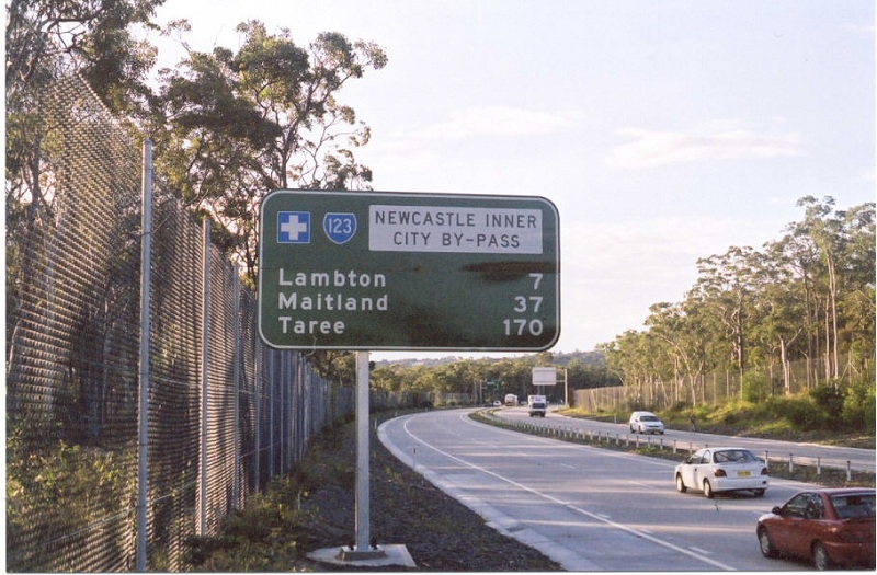
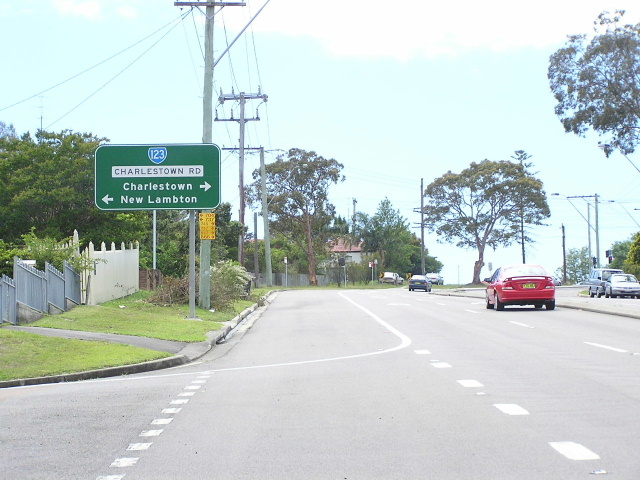
The first northbound RD sign. June 2003. |
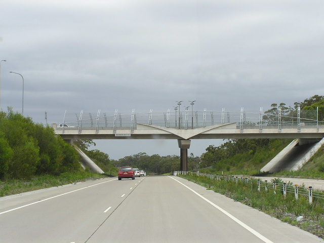 |
Looking south at the Warners Bay Rd interchange. All the overpasses on the bypass have wings incorporated into their architecture to imitate the local wildlife. Dec 2003. |
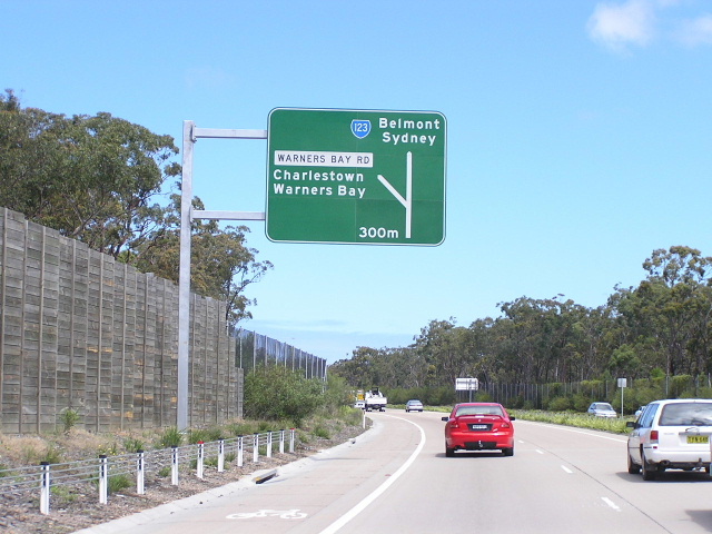 |
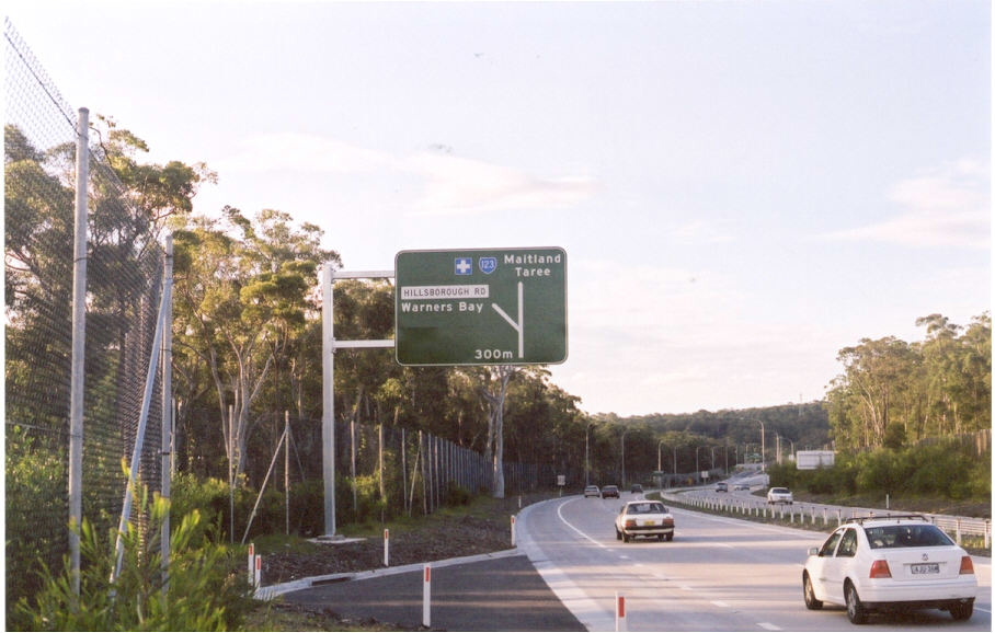
Looking south to the Warners Bay Rd interchange. Oct 2004. |
 |
Looking south from Hillsborough Rd. Oct 2004. |
 |
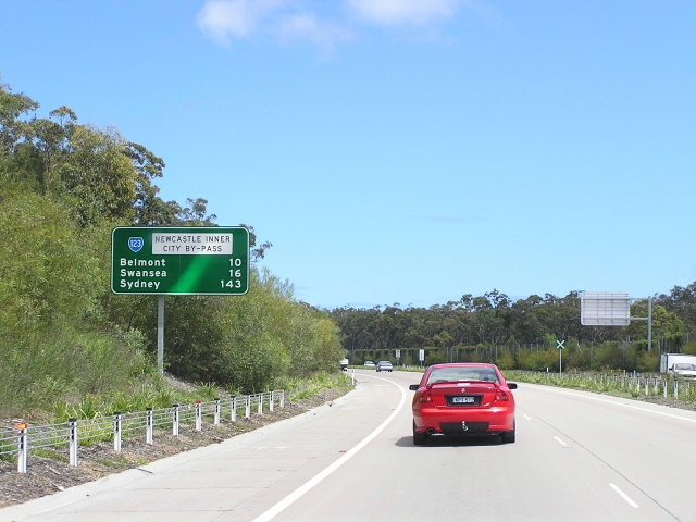
Looking north to Hillsborough Rd. June 2003. |
 |
Looking south to Hillsborough Rd. Dec 2003. |
 |
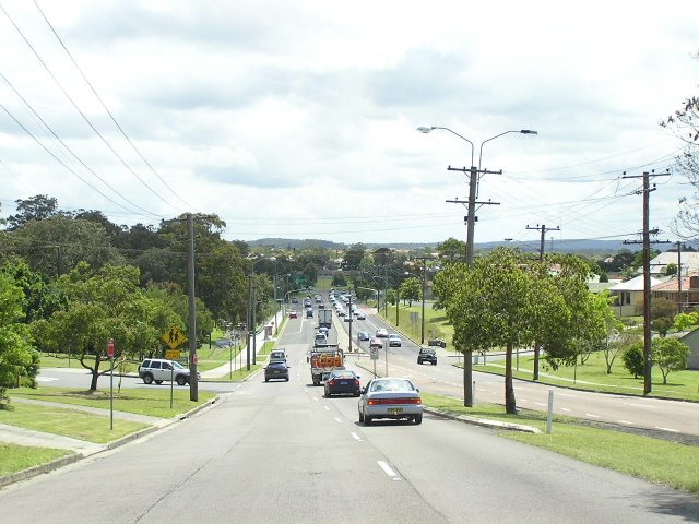
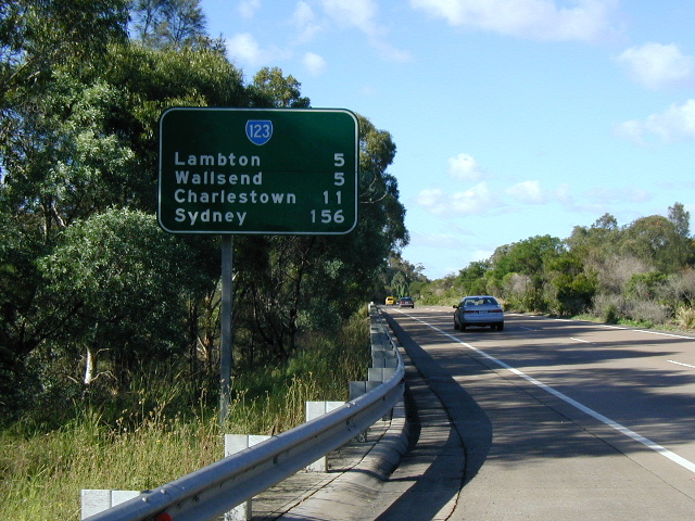
Looking north from Myall Rd at the northern end of the bypass. June 2003. |
 |
Northbound on Charlestown Rd at the north end of the West Charlestown Bypass. June 2003. |
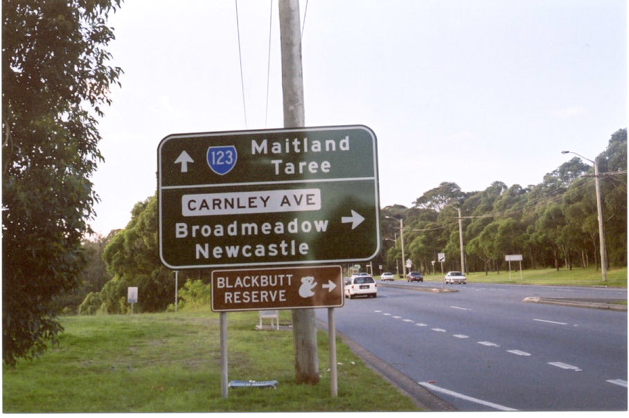 |
Northbound approaching Carnley Ave. I designed this sign while on work experience at the RTA!! :-) June 2003. |
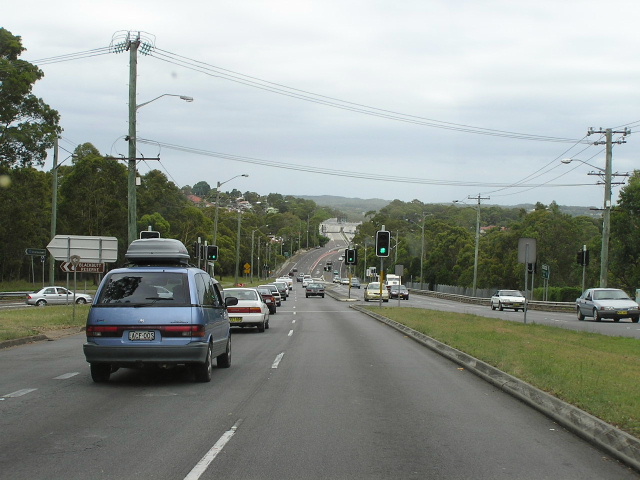 |
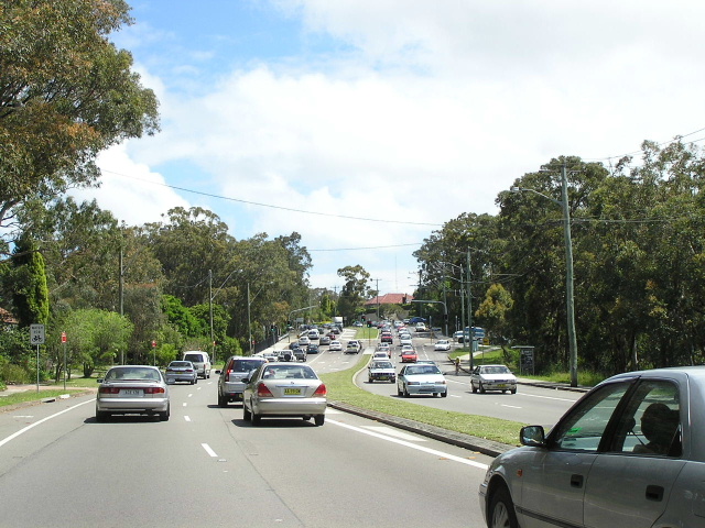
Looking south at Carnley Ave to the West Charlestown Bypass. Oct 2004. |
 |
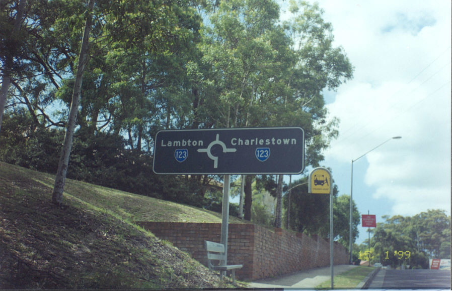
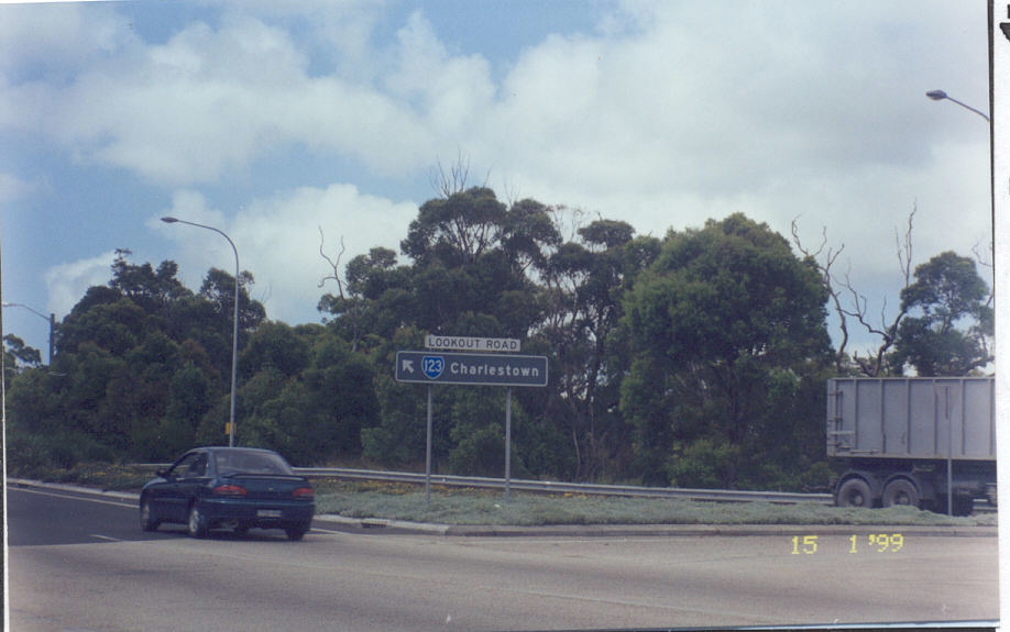
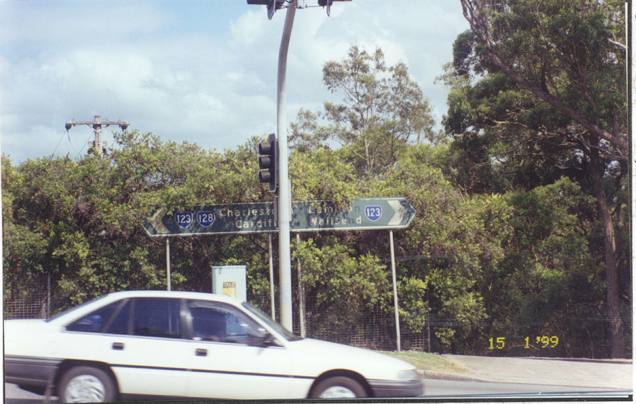
Black ID sign that has now been removed at Carnley Ave. Jan 1999. |
 |
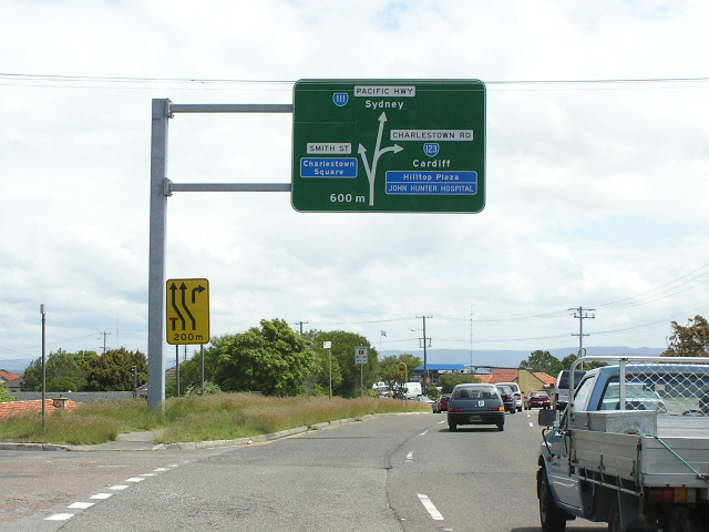
Interesting design for this AD sign, apporaching the SR128 duplex at New Lambton Heights. Dec 2003. |
 |
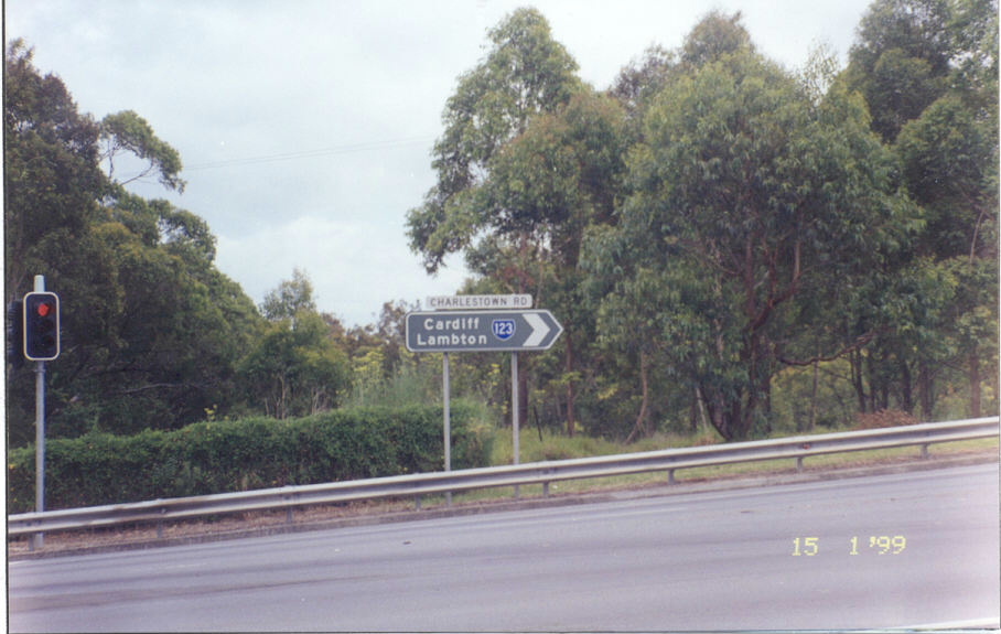
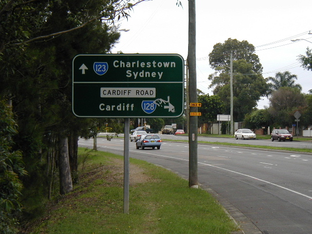
Black ID sign (since removed) at the Cardiff Rd intersection. Dec 2003. |
 |
Southbound approaching Cardiff Rd. Dec 2003. |
 |
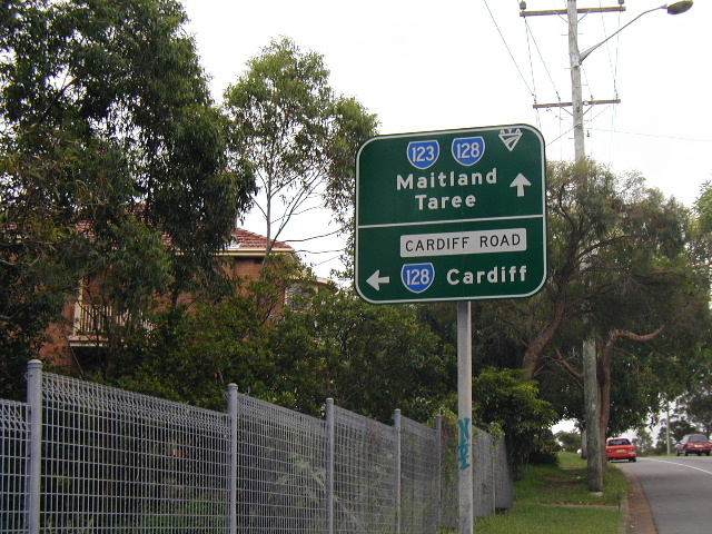
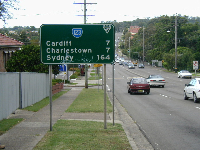
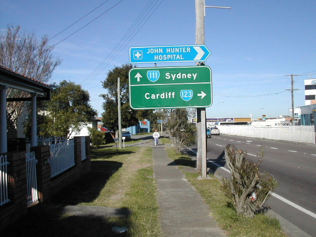
Northbound RD sign from Cardiff Rd. Note the remaining Hunter Tourist Circuit shield. Dec 2003. |
 |
Remnant Hunter Tourist Circuit diagram sign heading south adjacent to Blackbutt Reserve. Oct 2004. |
 |
Heading south to McCaffrey Drive. Oct 2004. |
 |
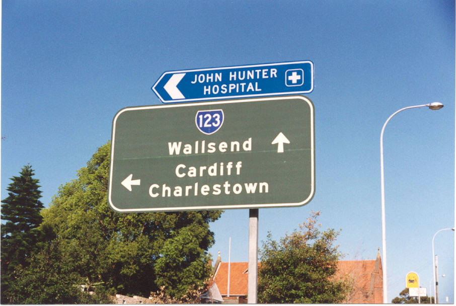
Black AD sign (since replaced) approaching the John Hunter Hospital entrance. Note no mention of SR128 which duplexes along here. Jan 1999. |
 |
Black AD sign (since replaced) exiting John Hunter Hospital. Note no mention of SR128. Jan 1999. |
 |
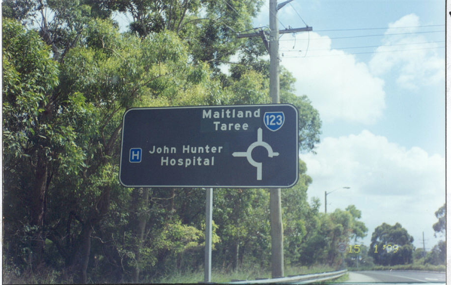
Black ID sign (replaced) at the John Hunter Hospital entrance. Note no mention of SR128. Jan 1999. |
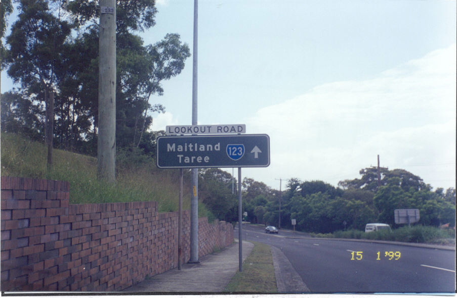 |
Black ID sign (replaced) at the John Hunter Hospital entrance. Note no mention of SR128. Jan 1999. |
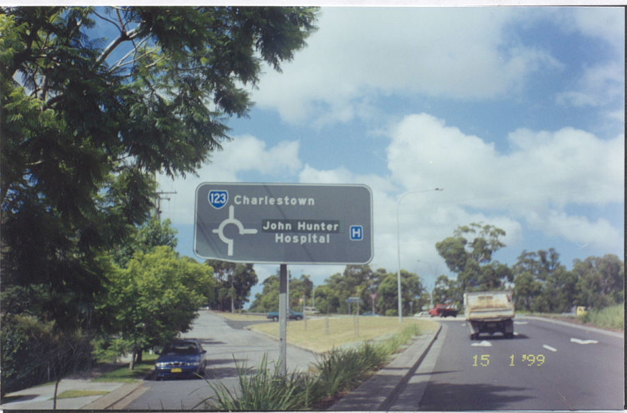 |
Black AD sign (replaced) approaching the John Hunter Hospital entrance. Note no mention of SR128. Also note the old style hospital symbol and the coverplate that reads "John Hunter". This hospital was formerly called Rankin Park Hospital. Jan 1999. |
 |
Northbound on Lookout Rd approaching the northern split of the Sr128 duplex at New Lambton. Dec 2003. |
 |
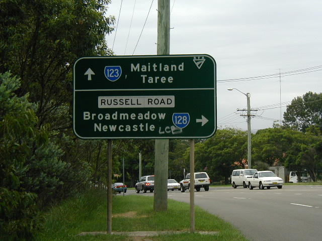
An original 1974 installation (now replaced) at Russell Rd intersection. Jan 1999. |
 |
Another original 1974 installation at the same intersection, also has been replaced. Jan 1999. |
 |
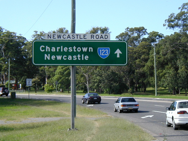
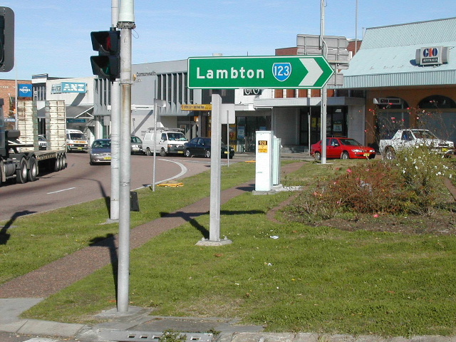
Looking south along Croudace St from Newcastle Rd at Lambton. Dec 2003. |
 |
Black AD sign (now removed) westbound on Newcastle Rd approaching SR123 at Lambton. Jan 1998. |
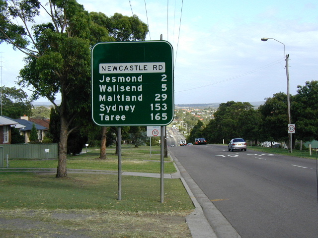 |
RD sign westbound on Newcastle Rd, interestingly with no mention of SR123! Dec 2003. |
The old RD sign in the same location. Note the obsolete Hunter Tourist Circuit shield. Jan 1998. |
|
 |
Looking west on Newcastle Rd towards Jesmond. Oct 2004. |
 |
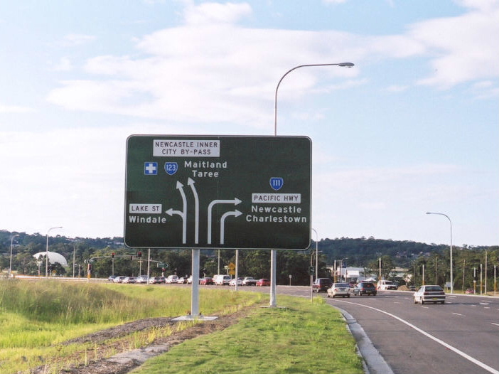
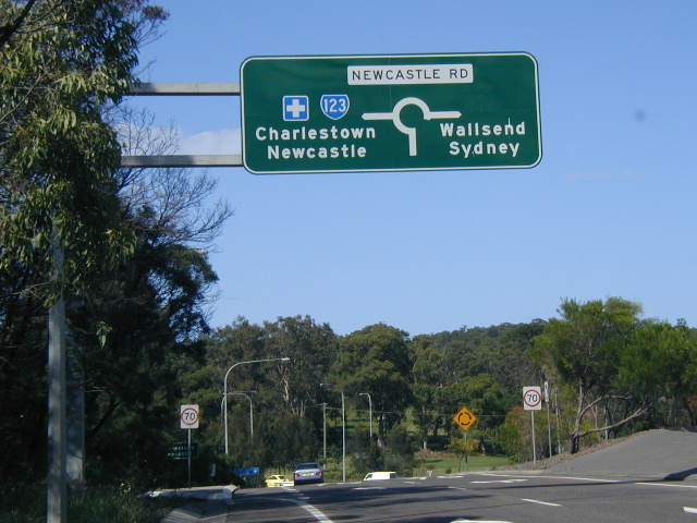
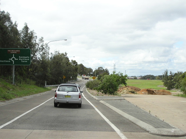
Lane allocation AD sign for the roundabout with the unnamed section of SR123 between Jesmond and Shortland. Oct 2004. |
 |
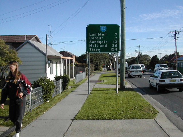
Typical 1990s ID sign from the Newcastle area. Dec 2003. |
 |
Southbound on the Jesmond-Shortland Relief Route (project name) approaching Newcastle Rd. Dec 2003. |
 |
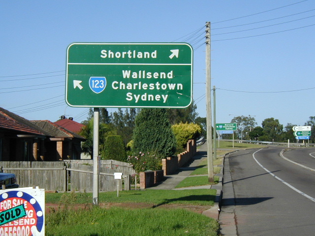
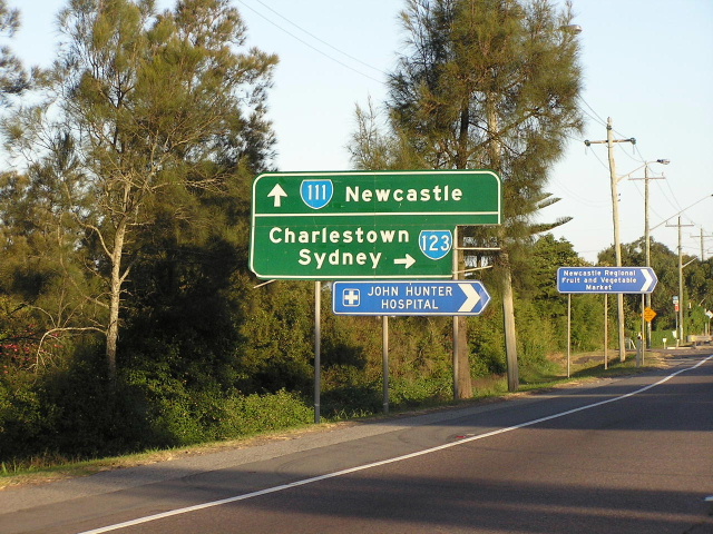
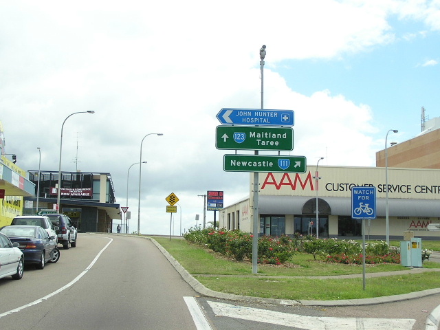
Northbound RD sign from Newcastle Rd. Oct 2004. |
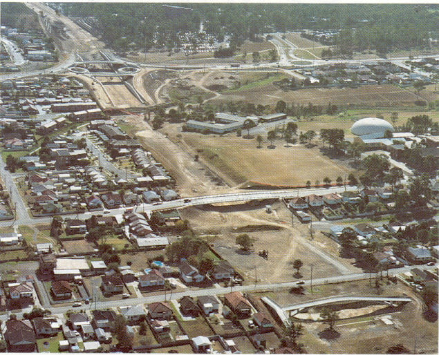 |
Northerly aerial view over the Jesmond-Shortland Relief Route construction. |
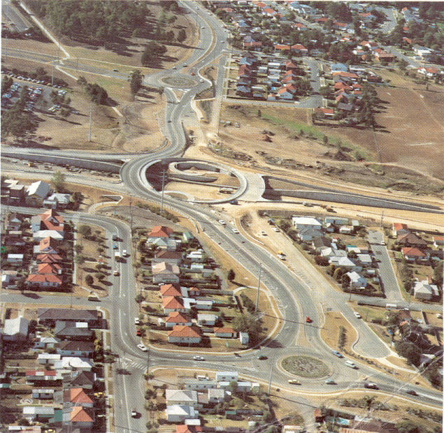 |
Aerial view west over the University Drive interchange under construction. |
 |
Looking north at University Drive. Oct 2004. |
 |
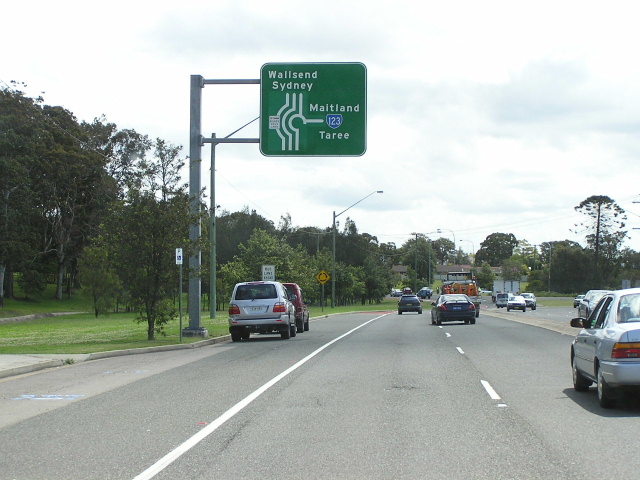
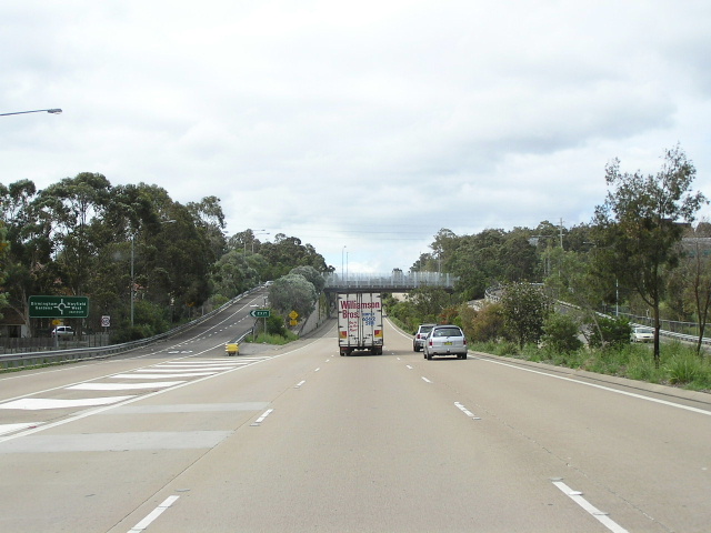
Looking south from Sandgate Rd. Dec 2003. |
 |
Looking north to Sandgate Rd showing where the motorway will one day continue under Sandgate Rd to Pacific Hwy. Oct 2004. |
 |
Southbound on Sandgate Rd. Note no mention of SR133 which begins here. Oct 2004. |
 |
Looking north along Sandgate Rd into Sandgate. The bridge is crossing the Hunter Rail Line. Oct 2004. |
 |
Looking north along Wallsend Rd in Sandgate. Oct 2004. |
 |
Approaching SR123's northern terminus at Pacific Hwy. Oct 2004. |
 |
Northbound on Pacific Hwy approaching the start of SR123 at Sandgate. Oct 2004. |
 |
Southbound on Pacific Hwy approaching the start of SR123 at Sandgate. April 2004. |
Photos of SR123 former alignment - Charlestown Road (1974-2003) |
|
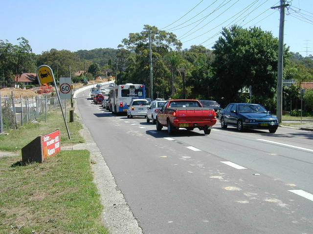 |
Looking north at Park Ave during construction of the West Charlestown Bypass. Dec 2002. |
 |
Looking north at Park Ave during construction of the West Charlestown Bypass. Dec 2002. |
 |
1974 installation at the Myall Rd intersection, now removed. Dec 2002. |
 |
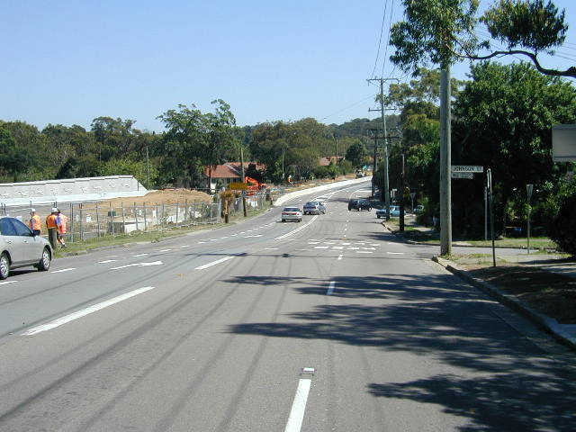
Looking north along the two lane section of Charlestown Rd near Kirkdale Dr. Oct 2004. |
 |
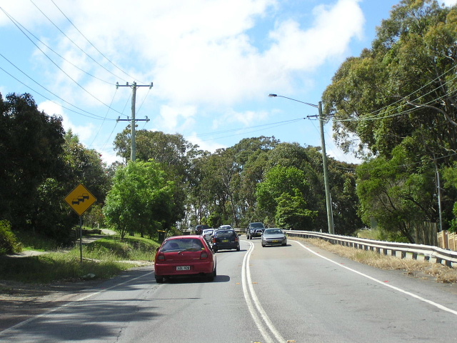
Surviving remnant of SR123 - northbound on Hillsborough Rd approaching Charlestown Rd. Oct 2004. |
 |
Formerly the first northbound RD sign - westbound on Charlestown Rd near the Pacific Hwy intersection. Dec 2003. |
 |
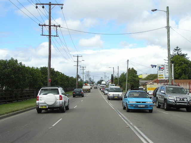
Southbound on Pacific Hwy approaching former SR123 - Charlestown Rd. Oct 2004. |
 |
And again, this time closer to the intersection. Oct 2004. |
 |
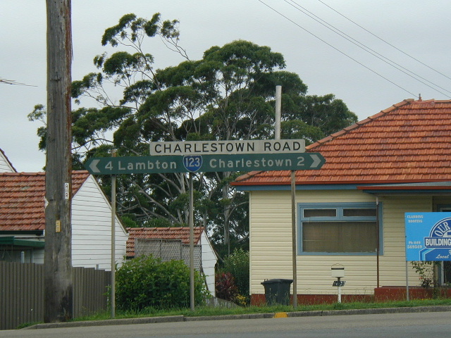
ID sign at the intersection of Pacific Hwy & Charlestown Rd. Oct 2004. |
 |
And again, this time facing southbound traffic. Oct 2004. |
 |
This time facing northbound Pacific Hwy traffic. Oct 2004. |
SR123 former alignment - Blue Gum Rd/Moore St/Vale St (1974-1990) |
|
 |
Looking north on Blue Gum Rd from Jesmond Shops. Oct 2004. |
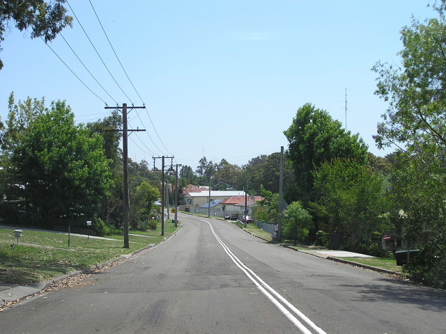 |
Looking north on Moore St, Birmingham Gardens. Oct 2004. |
Last updated 12 December 2012 © Ozroads 2003-2012. |